
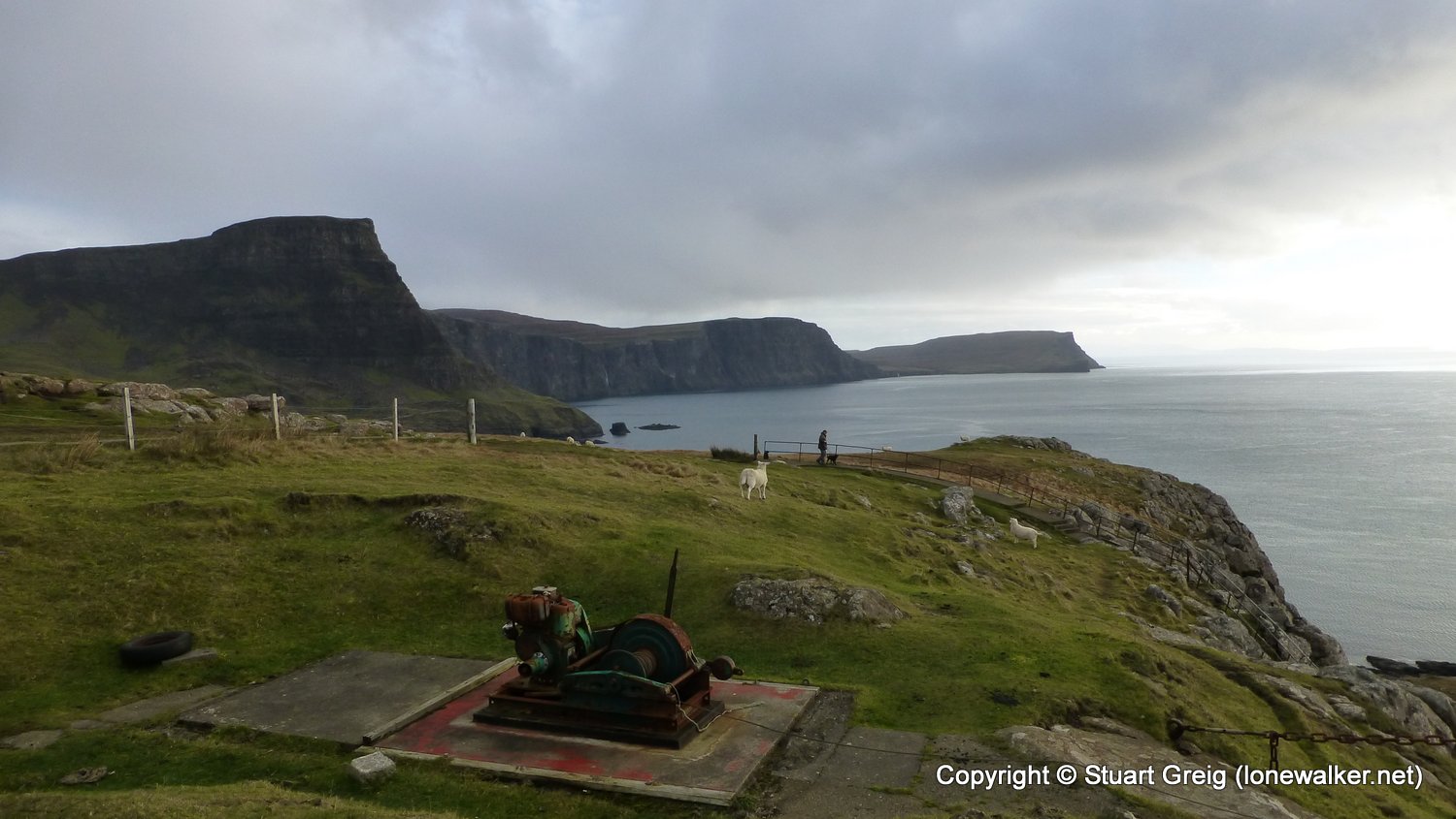
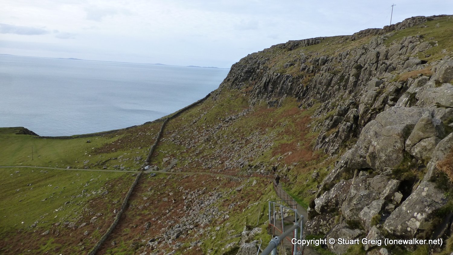
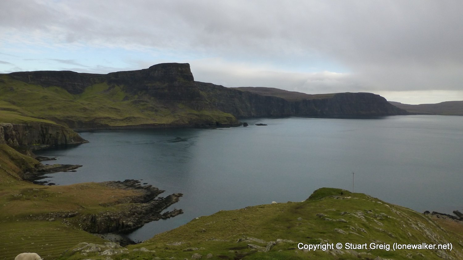
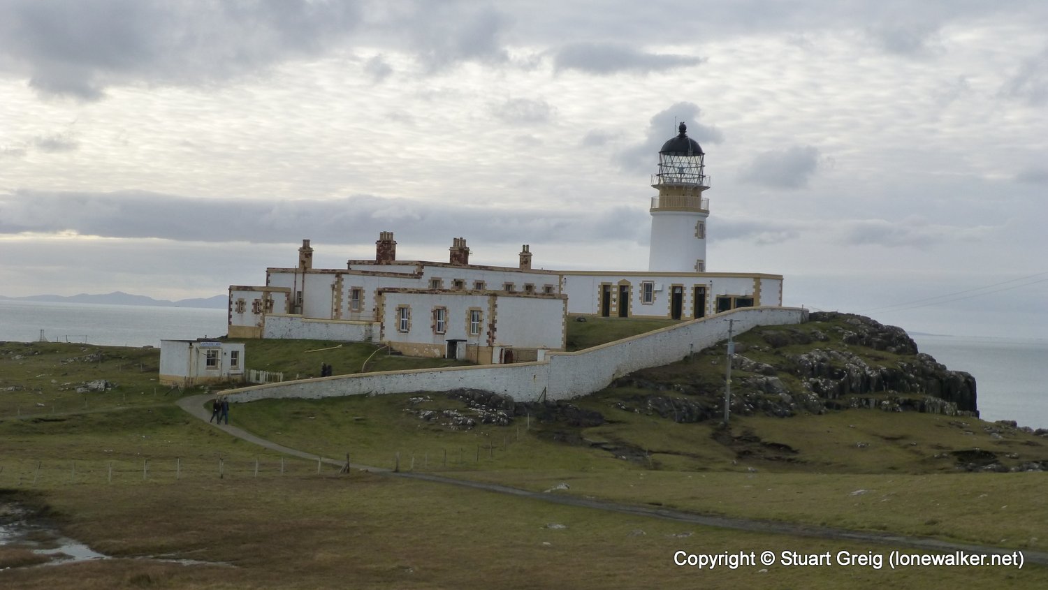
A short leg-stretcher out to the iconic lighthouse at Neist Point
Date: 2016-11-07
Start: Neist Point Finish: Neist Point
Distance: 2.3 mls, 3.70 km
Height Gain: 650 ft, 198.1 m
Start Time: 13:20 End Time: 14:30
Duration: 01:10
Ave Speed: 2.0 mph
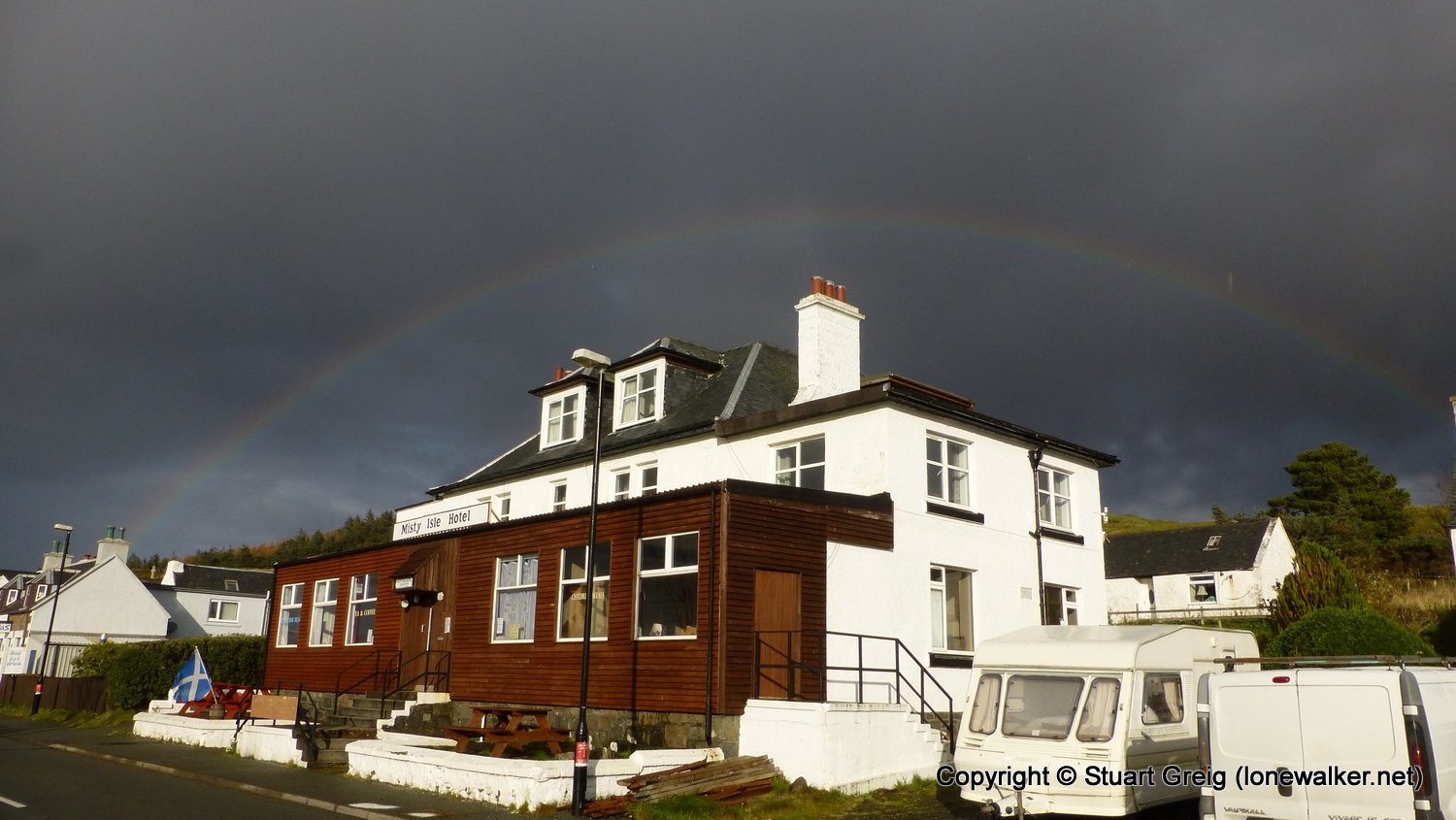
Region: Isle of Skye
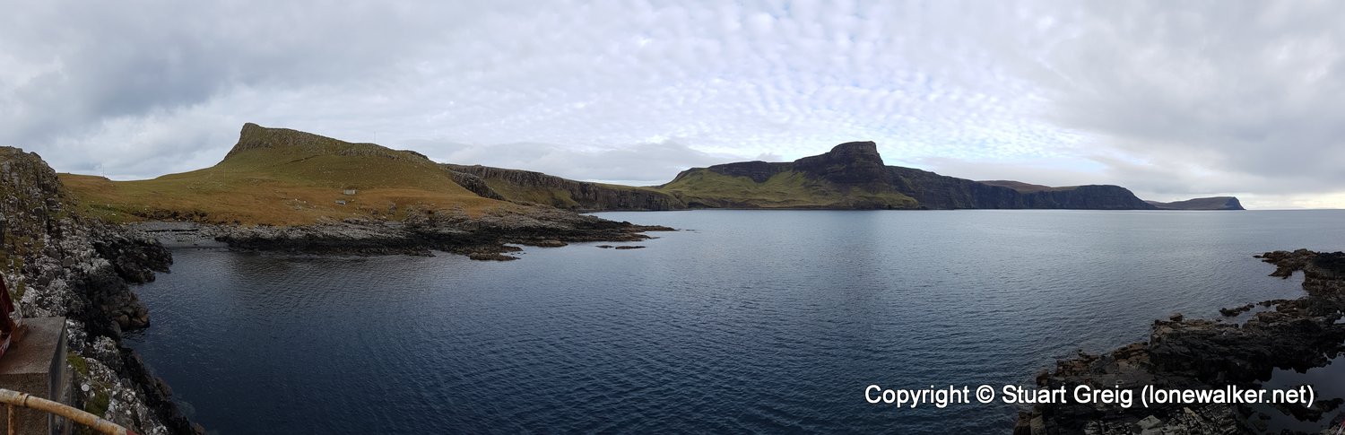
Route Description: Neist Point car park, An t-Aigeach, Neist Point lighthouse, Jetty, Neist Point car park
Parking Grid Ref: NG 13277 47783
View Parking space in: OS Map or Google Street View
Walking with: Roger Greig
Long Distance Path:
10428 - An t-Aigeach (312 ft)
Click any image to open the full screen photo gallery


Walk Name: Rubh a'Chairn Leith
Date: 2016-11-04
Distance: 1.7 mls, 2.74 km
Height Gain: 300 ft, 91.4 m
Walk Name: Beinn a'Ghlinne Bhig
Date: 2016-11-10
Distance: 5.0 mls, 8.05 km
Height Gain: 540 ft, 164.6 m