
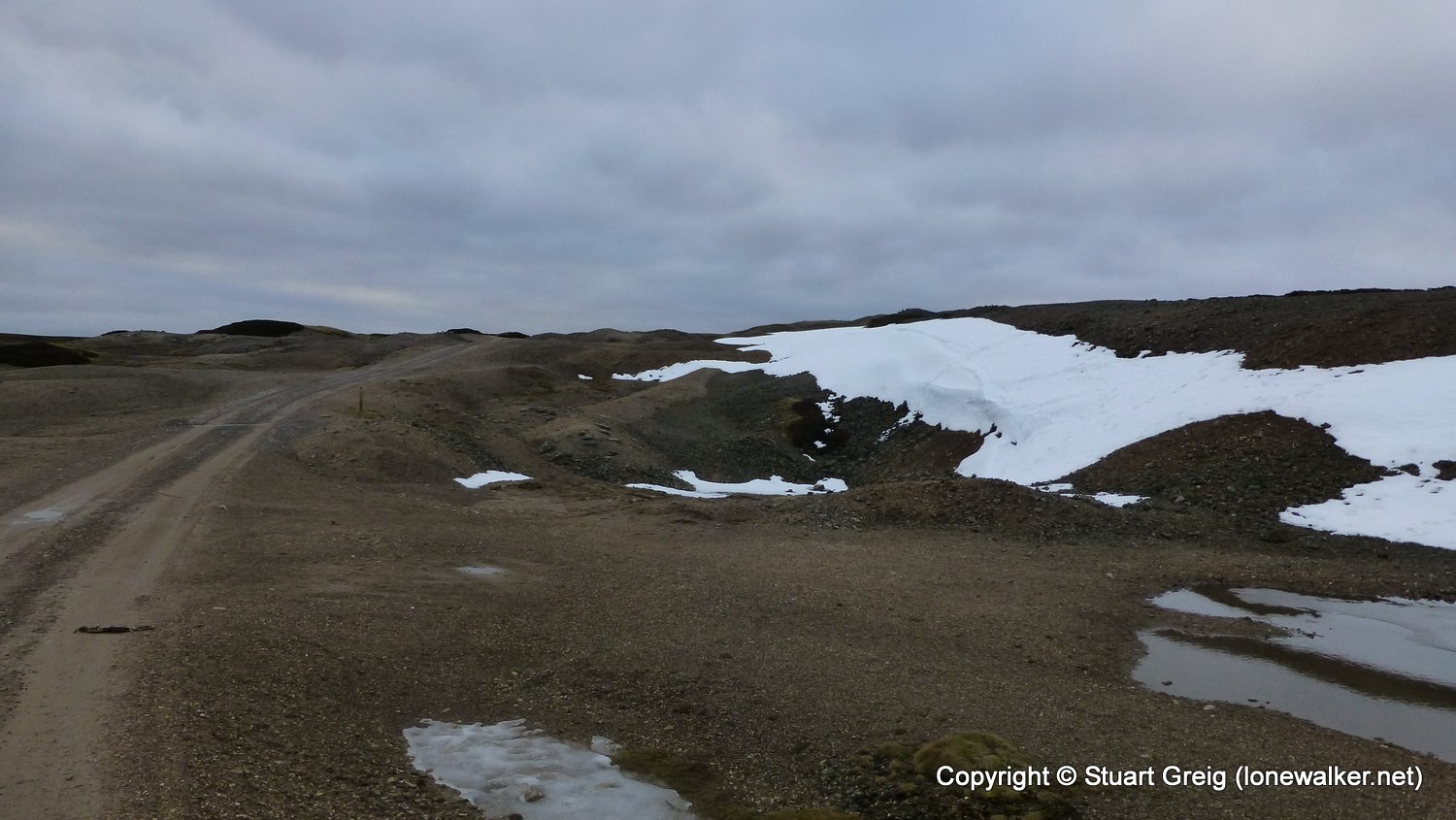
A final wildcamp of 2016 in a spot I'd been wanting to pitch at for a while. Using the ruins of the old peat store at Blakethwaite Mill as shelter, we spent a good evening. Weather was not as good as forecast, with no sun at all, but also no wind or rain, which was nice. Felt the climb and lack of fitness made for a surprisingly tiring walk, despite the short length.
Date: 2016-12-03
Start: Reeth Finish: Gunnerside Beck
Distance: 7.8 mls, 12.55 km
Height Gain: 1600 ft, 487.7 m
Start Time: 10:50 End Time: 15:40
Duration: 04:50
Ave Speed: 1.6 mph
Region: Yorkshire Dales
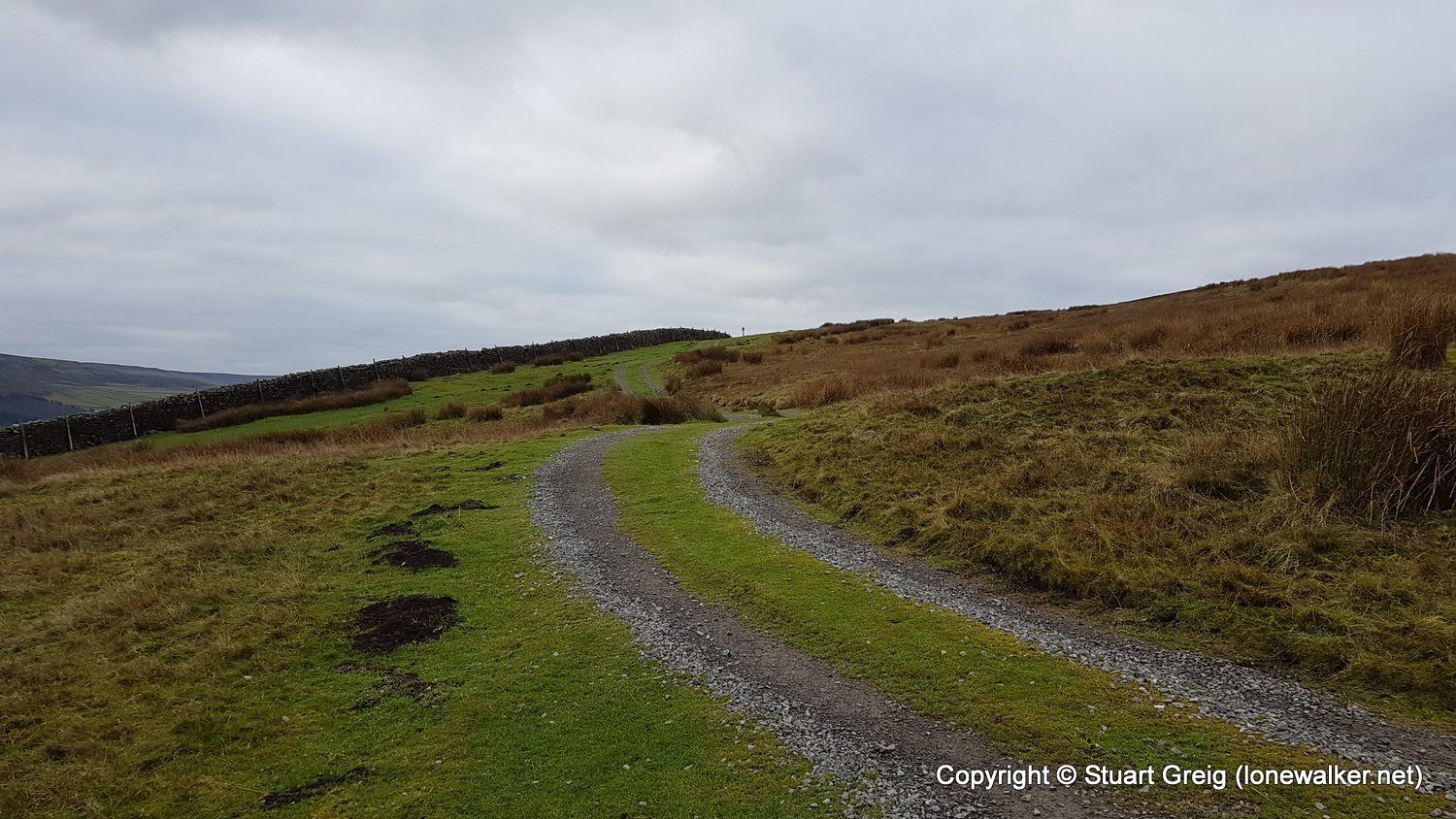
Route Description: Reeth, Skelgate Lane, Thirns, Cringley Bottom, Surrender Bridge, Level House Bridge, Old Gang Mines, High Gorton, Gunnerside Beck
Parking Grid Ref: SE 03889 99300
View Parking space in: OS Map or Google Street View
Walking with: Chris Pilgrim
Long Distance Path: Herriot Way
Click any image to open the full screen photo gallery


Walk Name: Beinn a'Ghlinne Bhig
Date: 2016-11-10
Distance: 5.0 mls, 8.05 km
Height Gain: 540 ft, 164.6 m
Walk Name: Gunnerside Beck to Muker
Date: 2016-12-04
Distance: 4.5 mls, 7.24 km
Height Gain: 660 ft, 201.2 m