
Date: 2006-07-29
Start: Timbersbrook Finish: Timbersbrook
Distance: 16.0 mls, 25.75 km
Height Gain: 2200 ft, 670.6 m
Start Time: 06:57 End Time: 11:33
Duration: 04:36
Ave Speed: 3.5 mph
Region: Cheshire
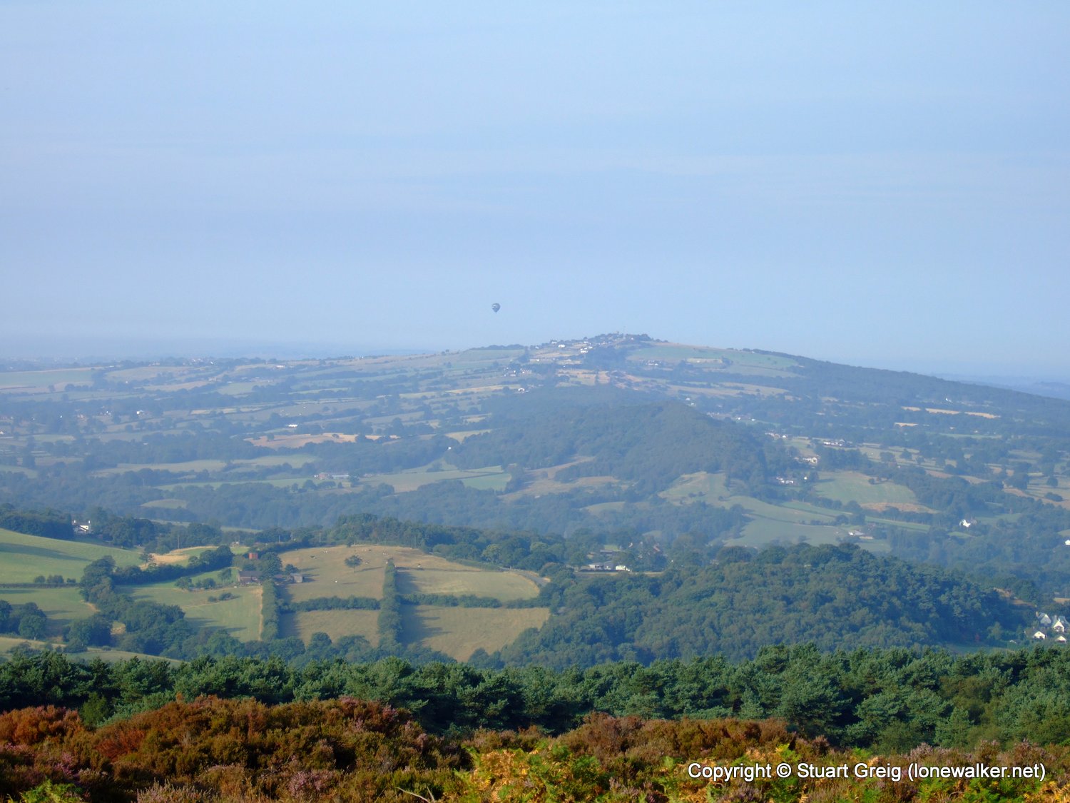
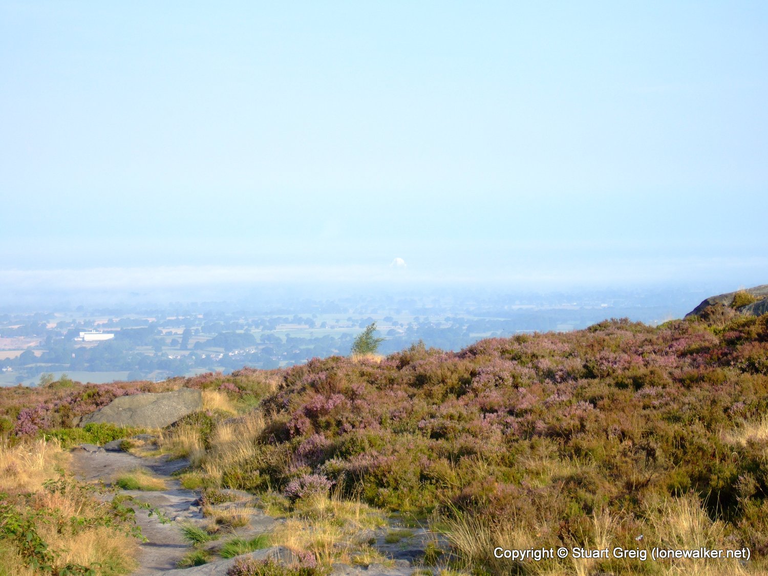
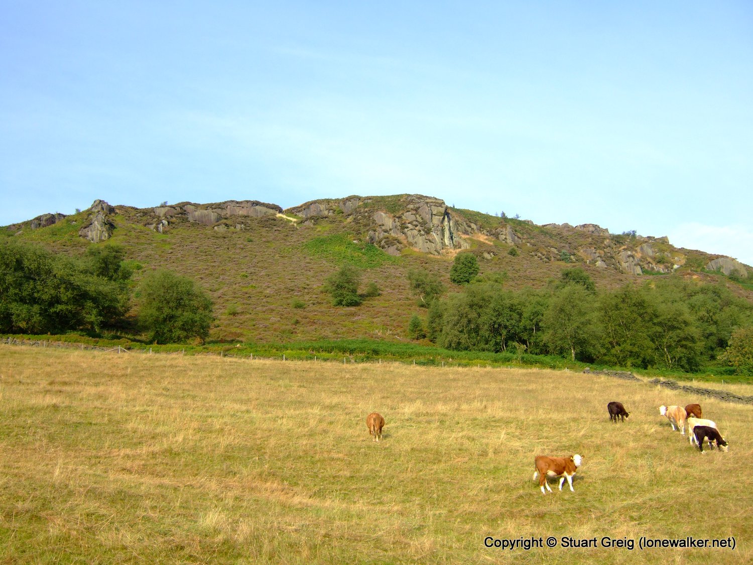
Route Description: Timbersbrook, The Cloud, Peover Farm, Macc Canal, Ackers Crossing, Mow Cop, Nick in the Hill, Dane in Shaw, Timbersbrook
Parking Grid Ref: SJ 89450 62750
View Parking space in: OS Map or Google Street View
Walking with: Alone
Long Distance Path:
TP6366 - The Cloud (Good condition)
Click any image to open the full screen photo gallery


Walk Name: Dovestone Reservoir
Date: 2006-07-15
Distance: 12.0 mls, 19.31 km
Height Gain: 2100 ft, 640.1 m
Walk Name: Hollinsclough & Pilsbury
Date: 2006-08-12
Distance: 14.0 mls, 22.53 km
Height Gain: 1900 ft, 579.1 m