
Date: 2017-06-21
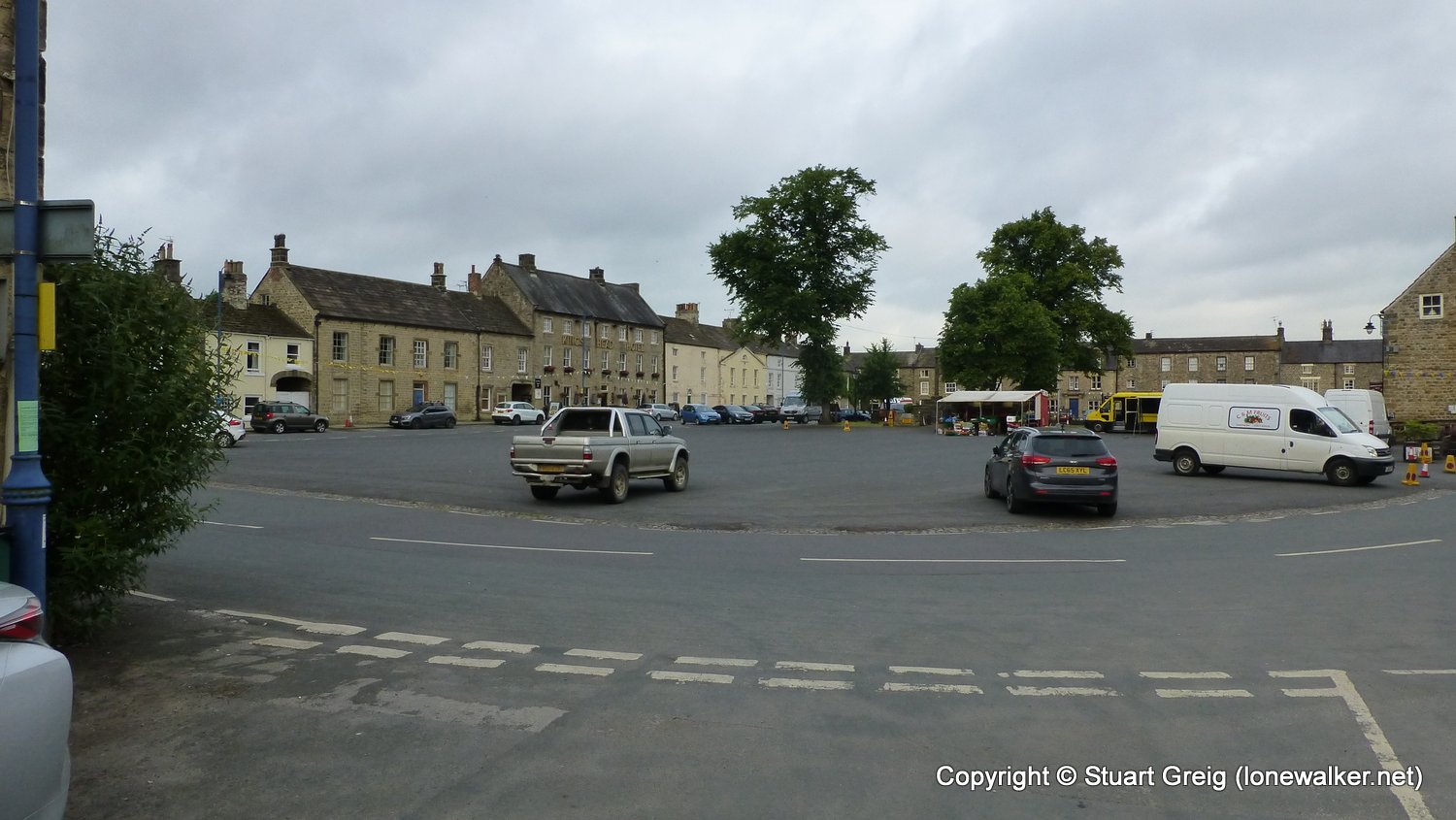
Start: Masham Finish: Ripon
Distance: 14.0 mls, 22.53 km
Height Gain: 700 ft, 213.4 m
Start Time: 07:35 End Time: 14:15
Duration: 06:40
Ave Speed: 2.1 mph
Region: Northern England
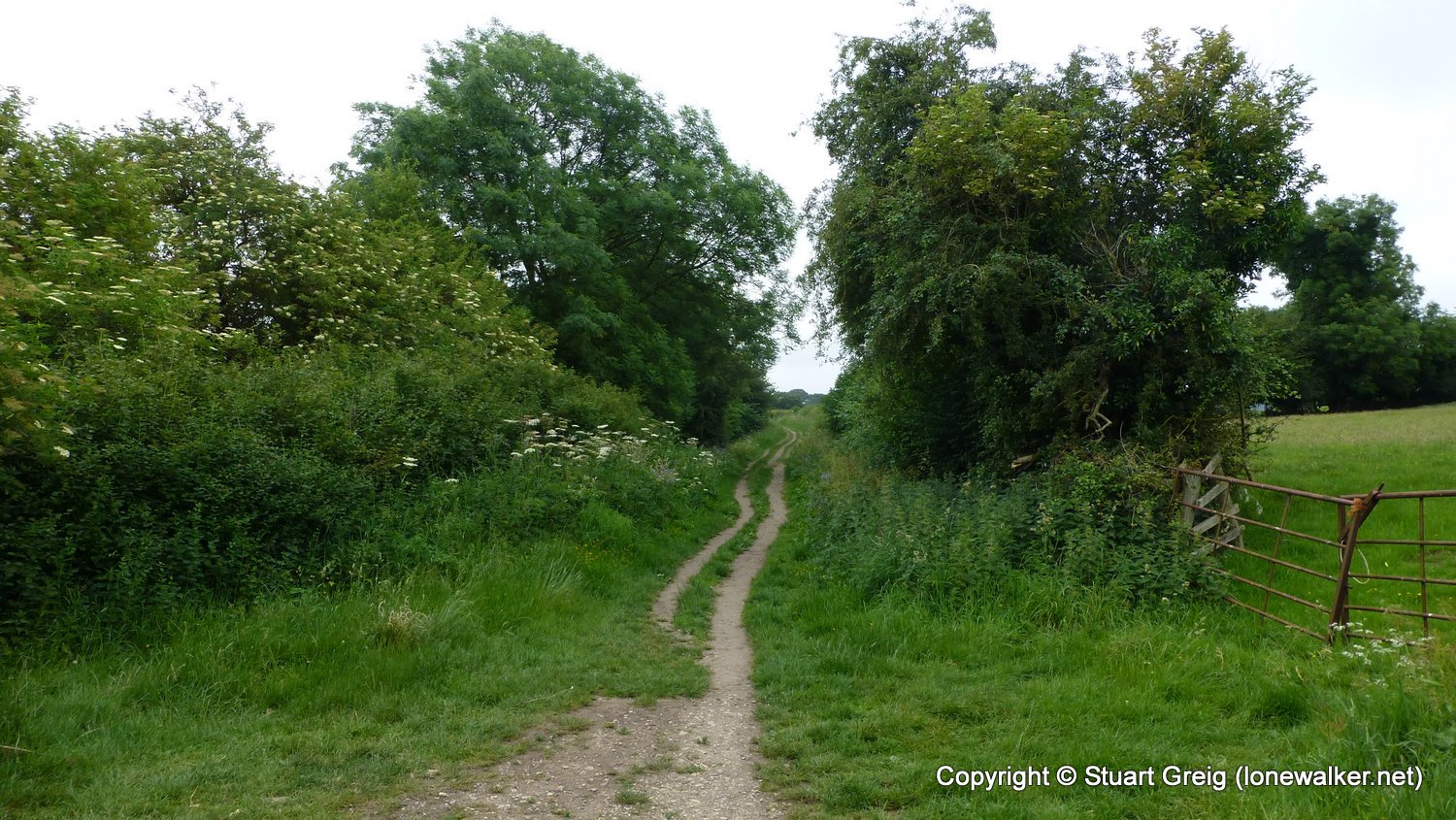
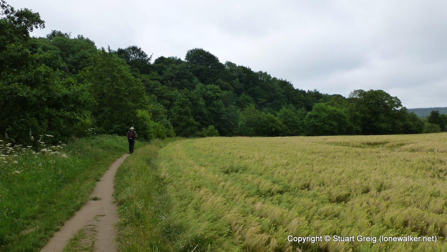
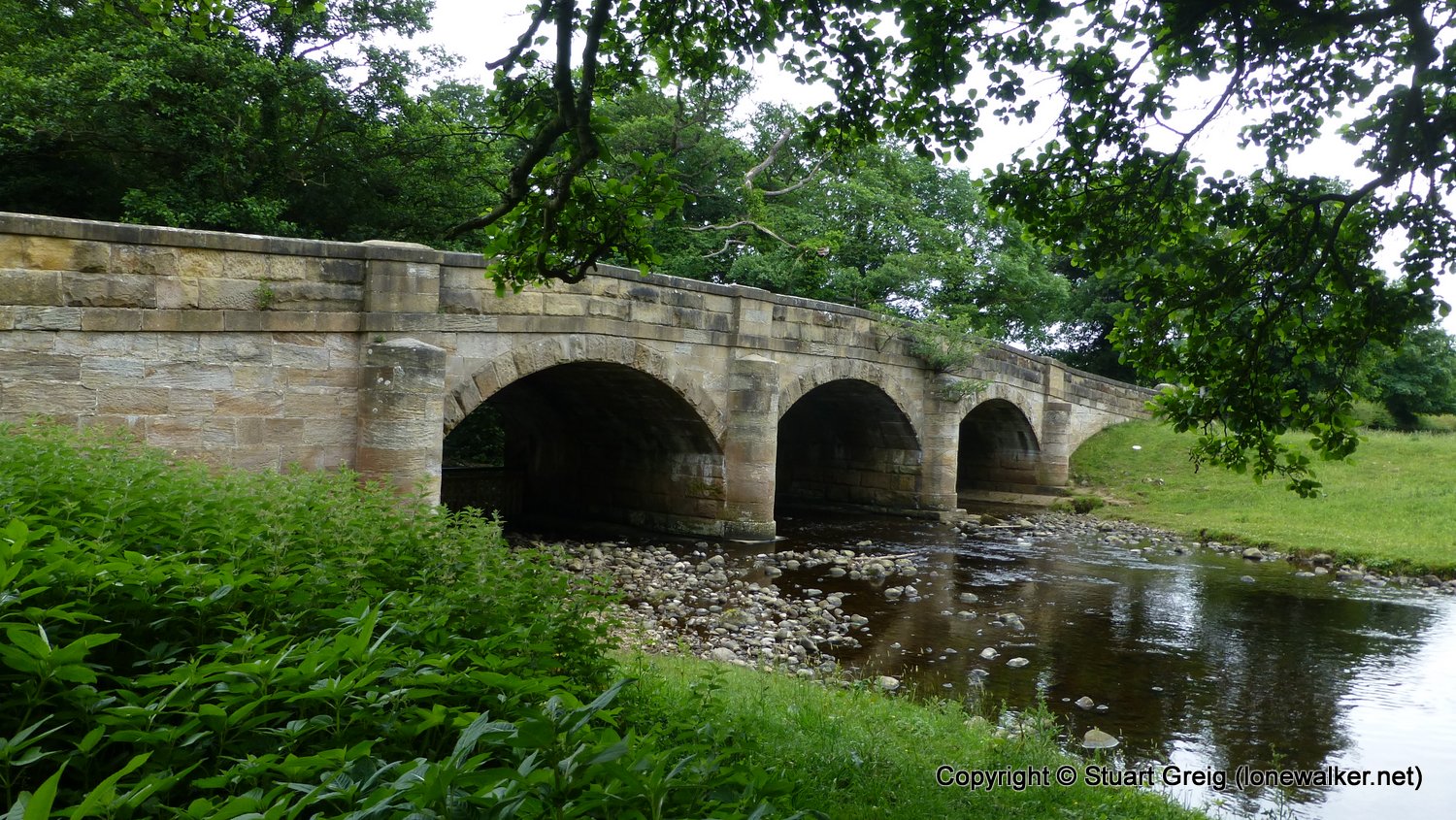
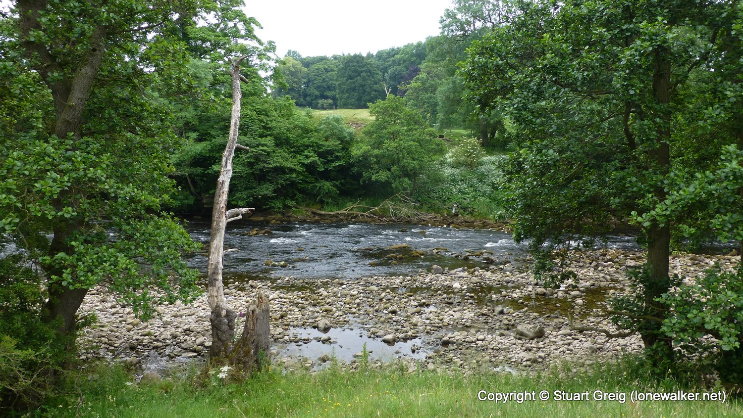
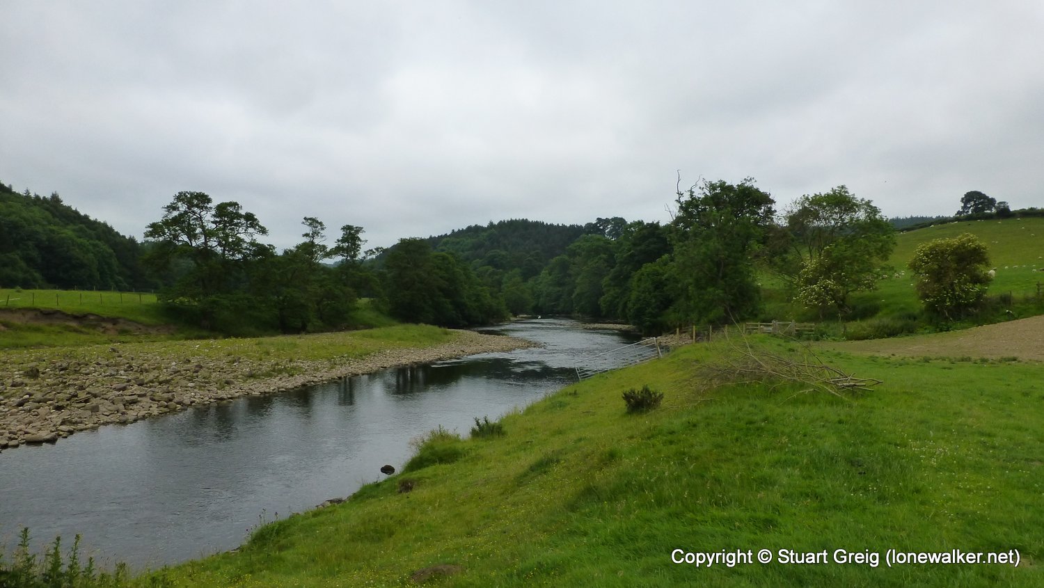
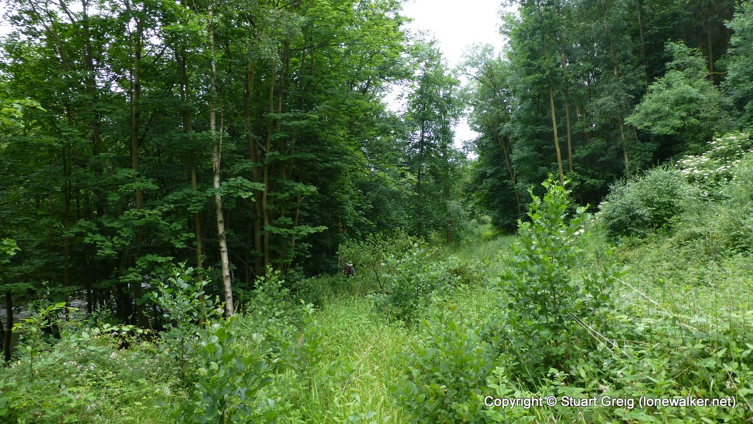
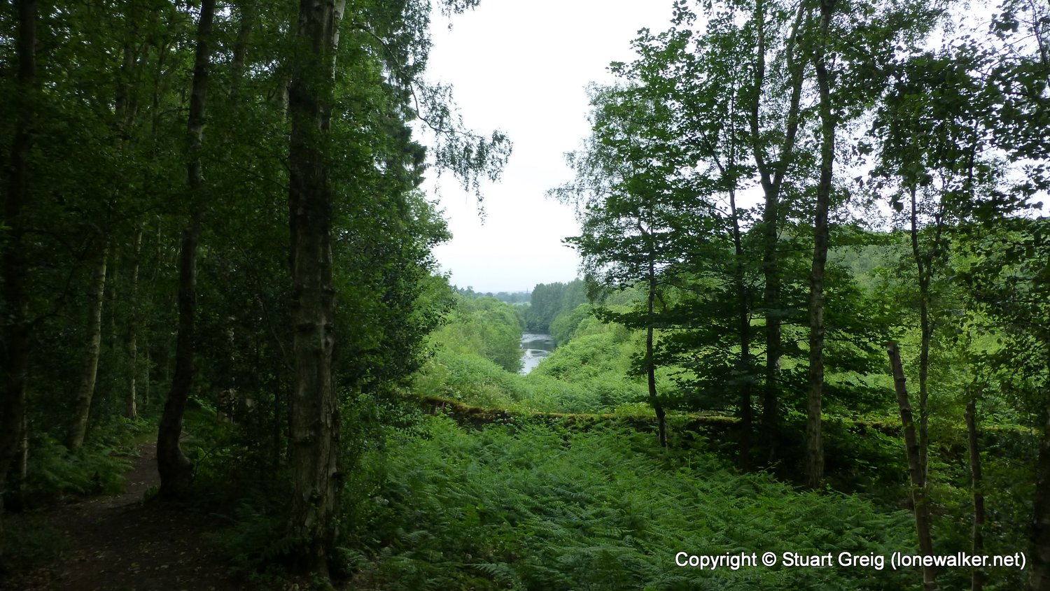
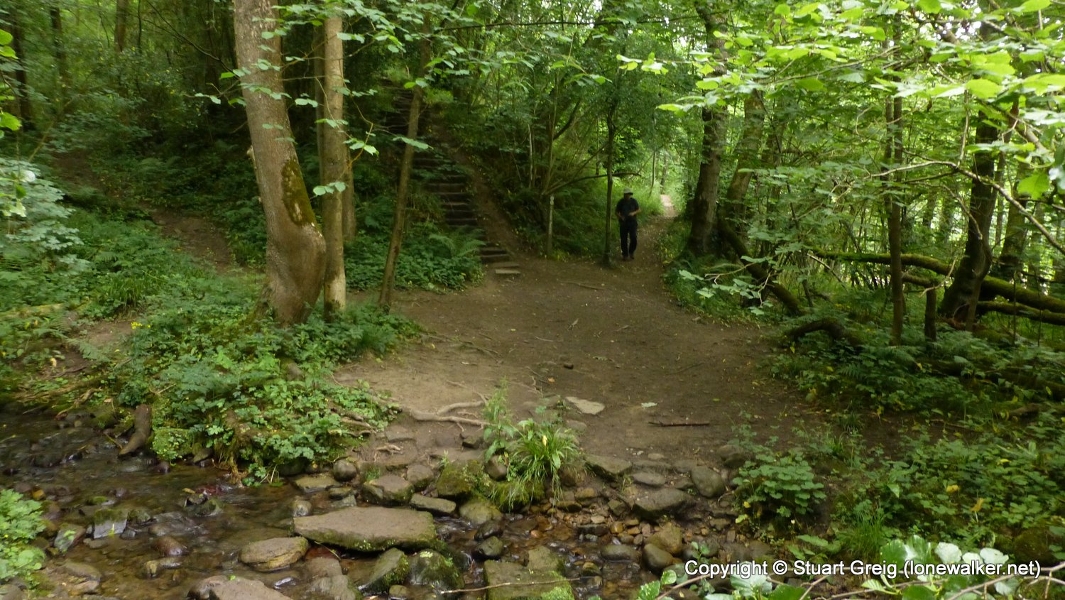
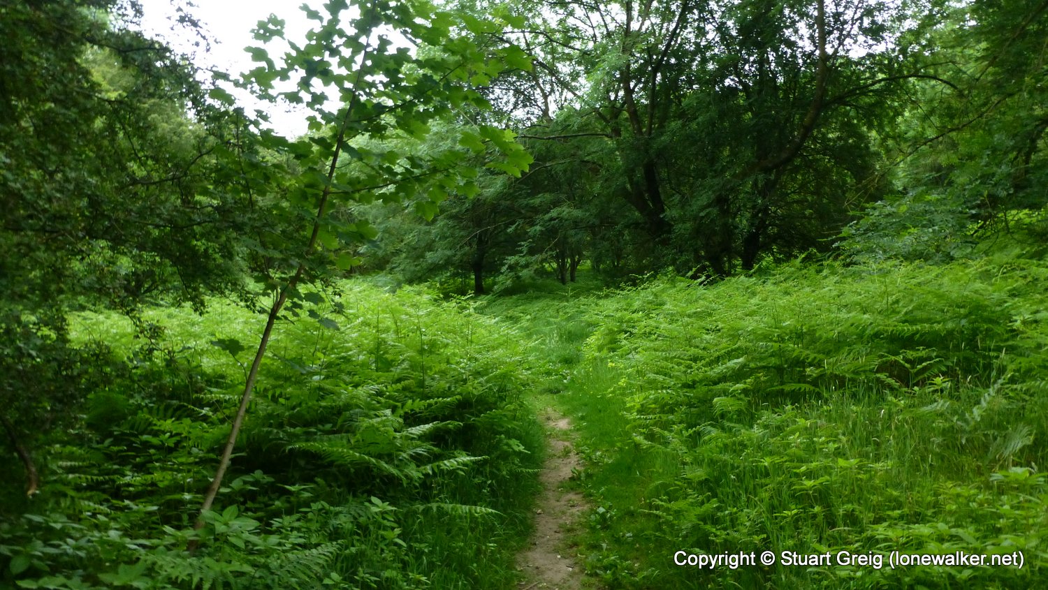
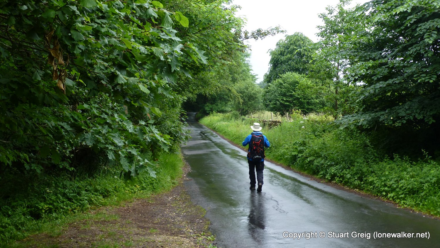
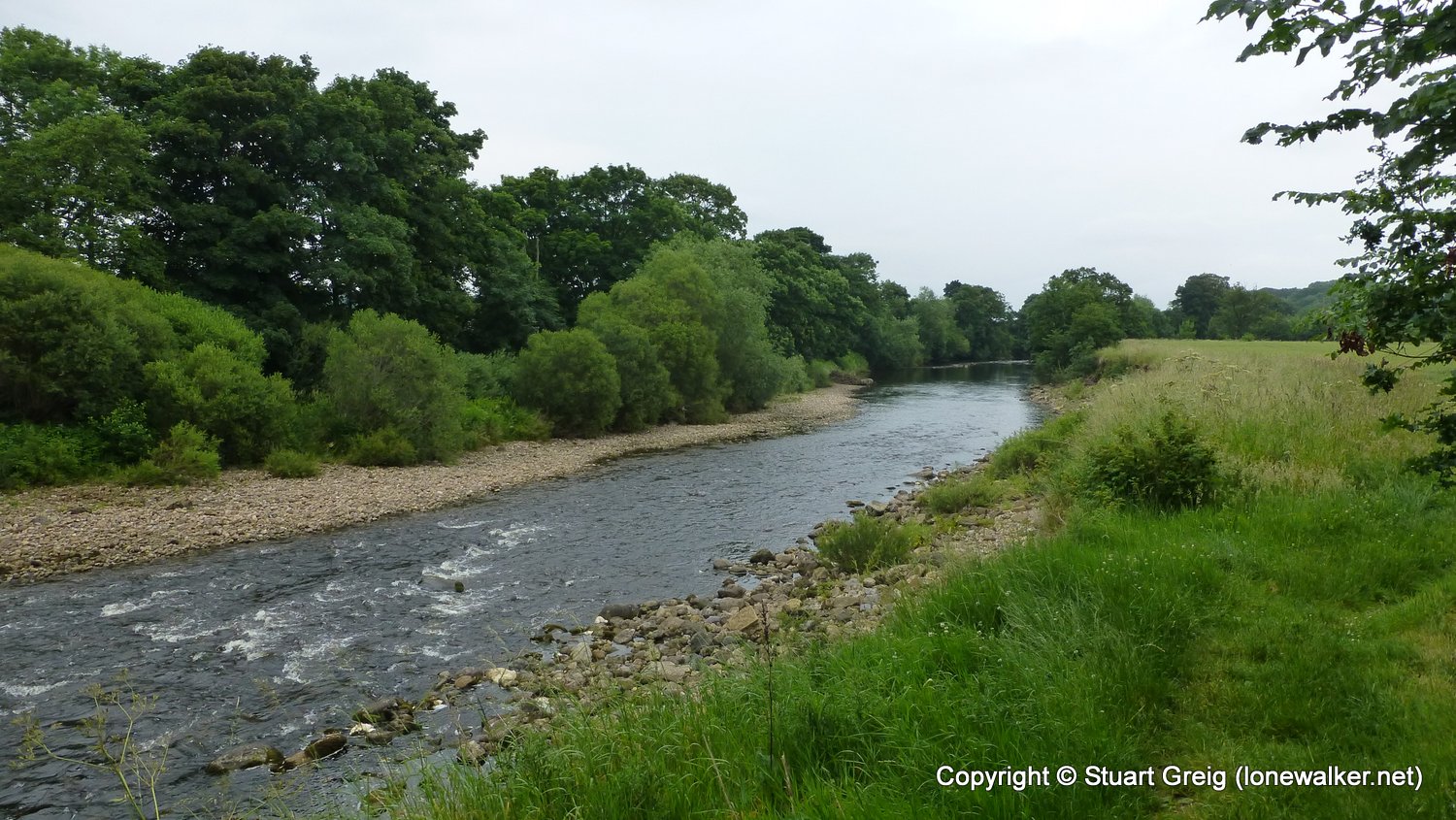
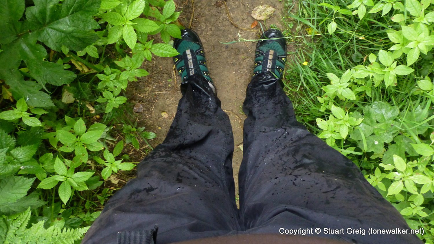
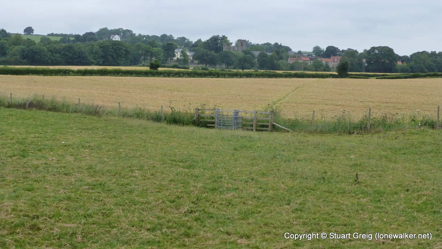
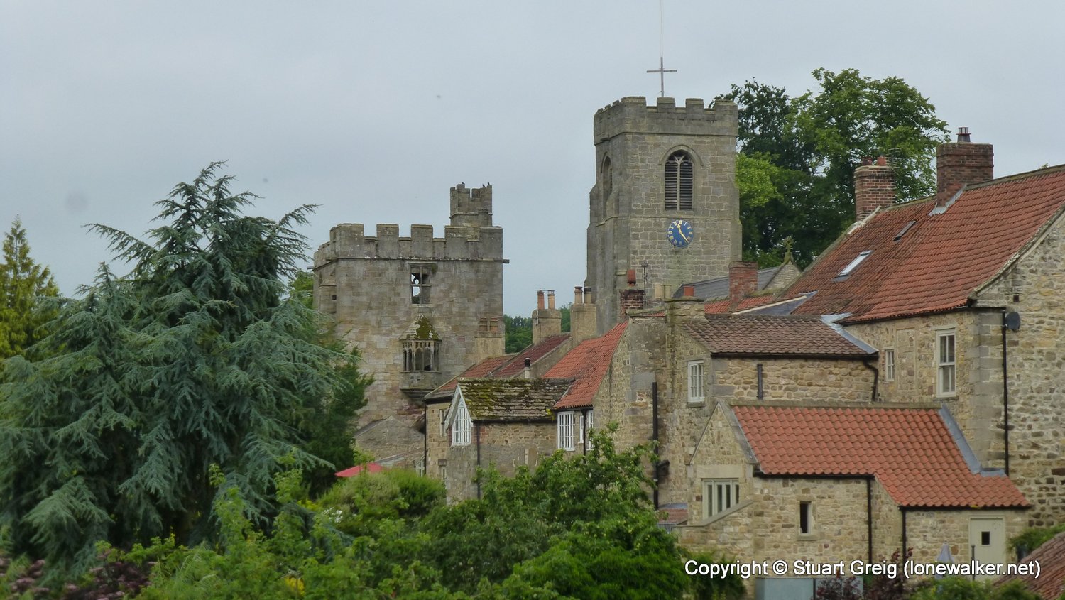
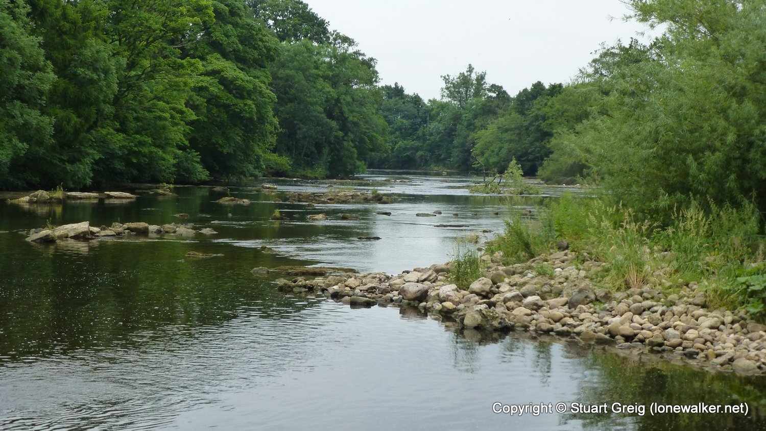
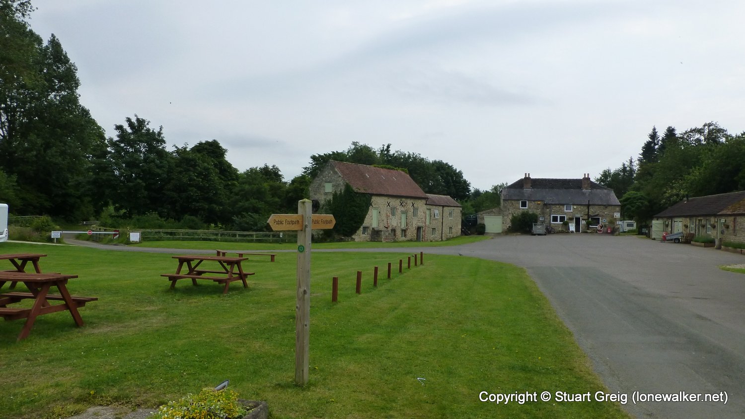
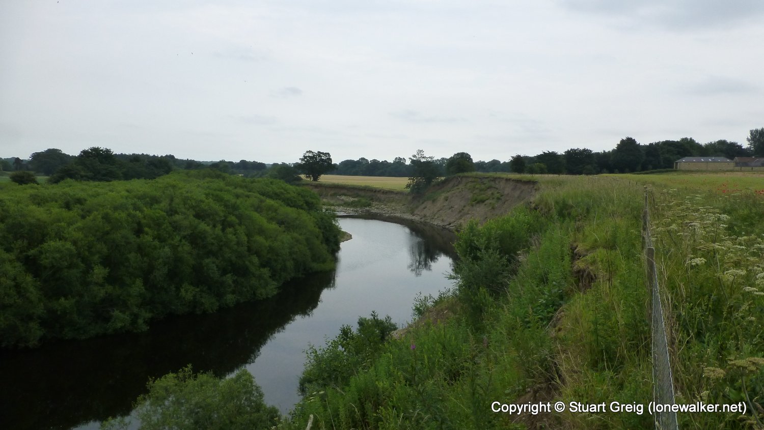
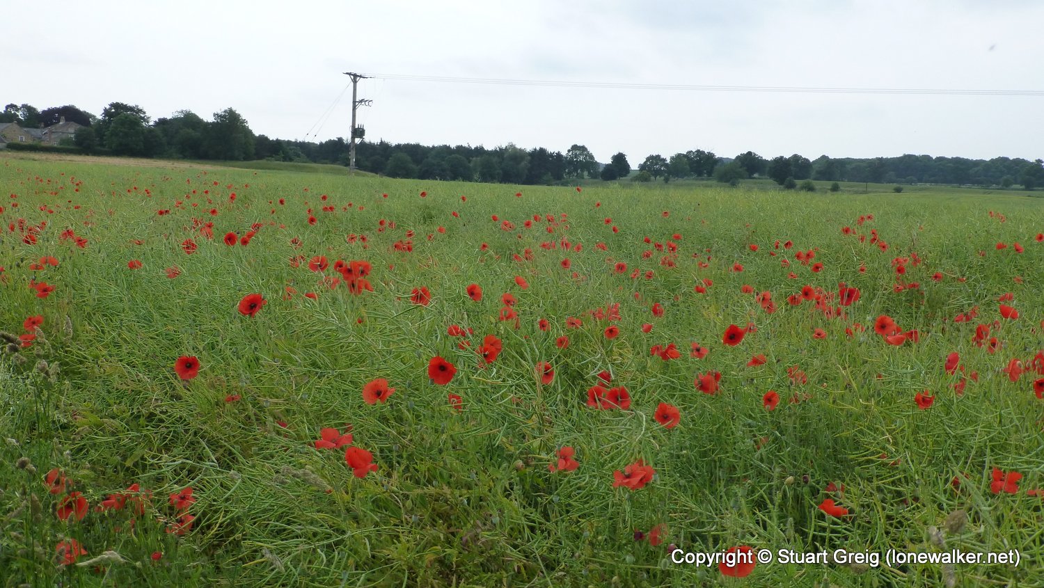
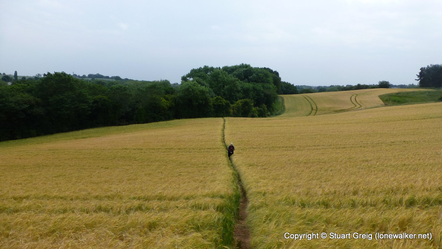
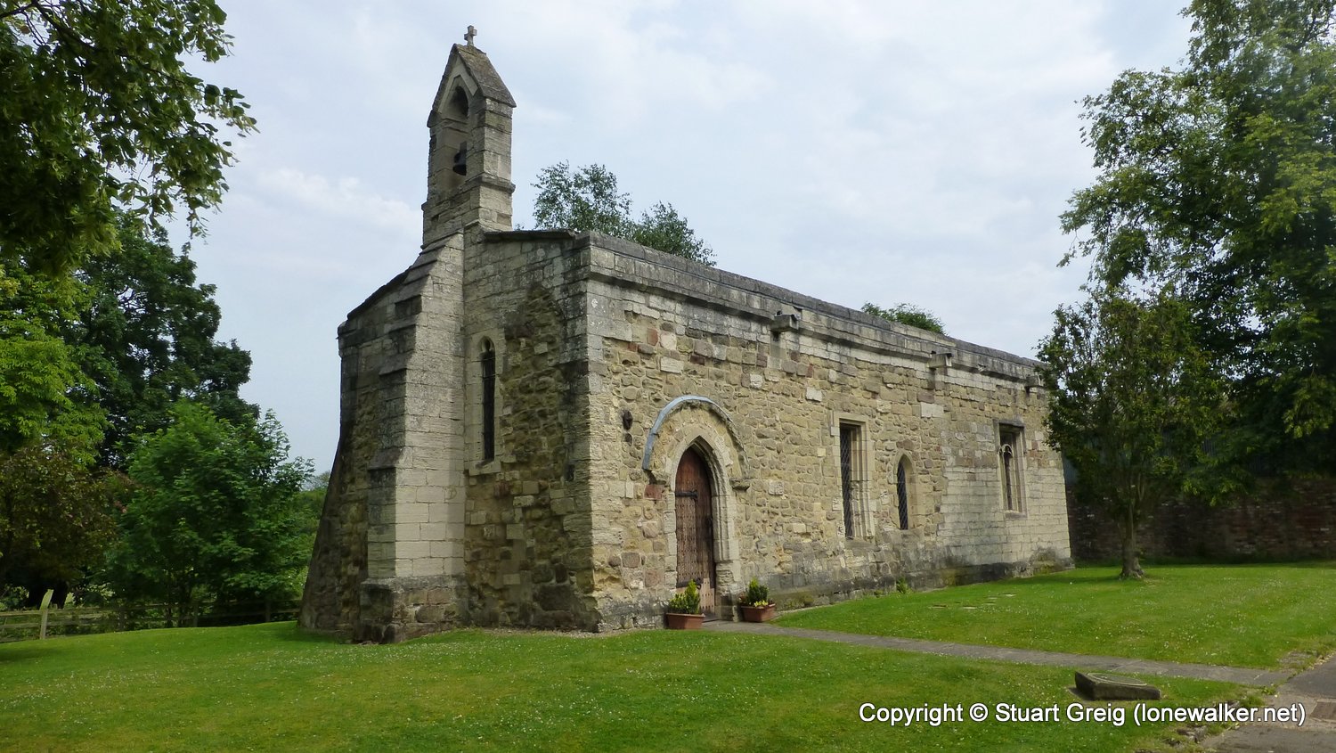
Route Description: Masham, Low Burn Bridge, Nutwith Cote Wood, Limehouse Hill, Mickley Barras, Mickley, Piccadilly Wood, Tanfield Bridge, West Tanfield, North Stainley, Yewtree Hill, Middle Parks Farm, South Parks Farm, Little Studley, Ripon
Parking Grid Ref:
View Parking space in: OS Map or Google Street View
Walking with:
Long Distance Path: Yoredale Way
Click any image to open the full screen photo gallery
Walk Name: Middleham to Masham
Date: 2017-06-20
Distance: 11.9 mls, 19.15 km
Height Gain: 700 ft, 213.4 m
Walk Name: Ripon to Boroughbridge
Date: 2017-06-22
Distance: 9.9 mls, 15.93 km
Height Gain: 200 ft, 61.0 m