
Date: 2017-06-22
Start: Ripon Finish: Boroughbridge
Distance: 9.9 mls, 15.93 km
Height Gain: 200 ft, 61.0 m
Start Time: 09:40 End Time: 13:05
Duration: 03:25
Ave Speed: 2.9 mph
Region: Northern England
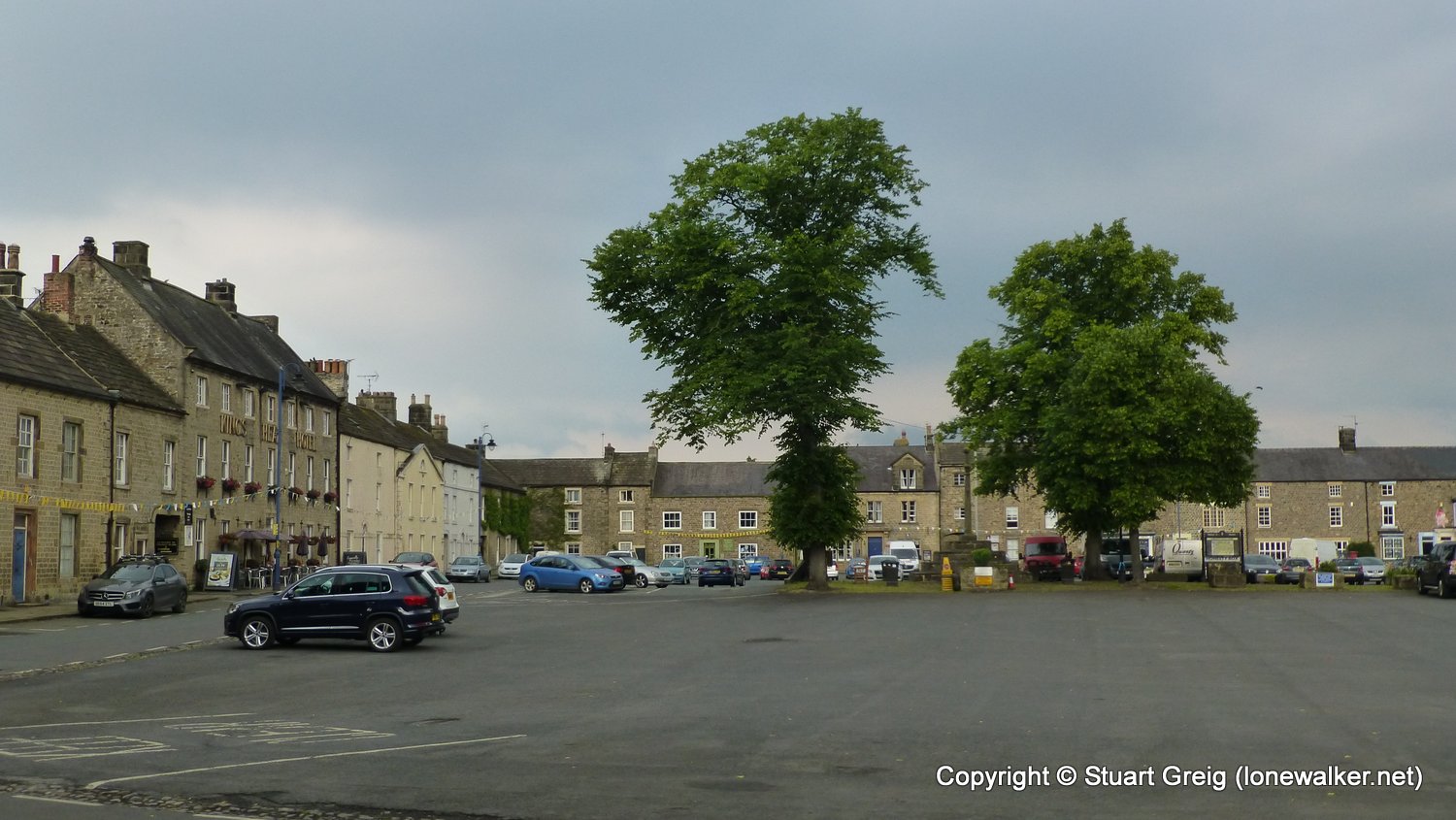
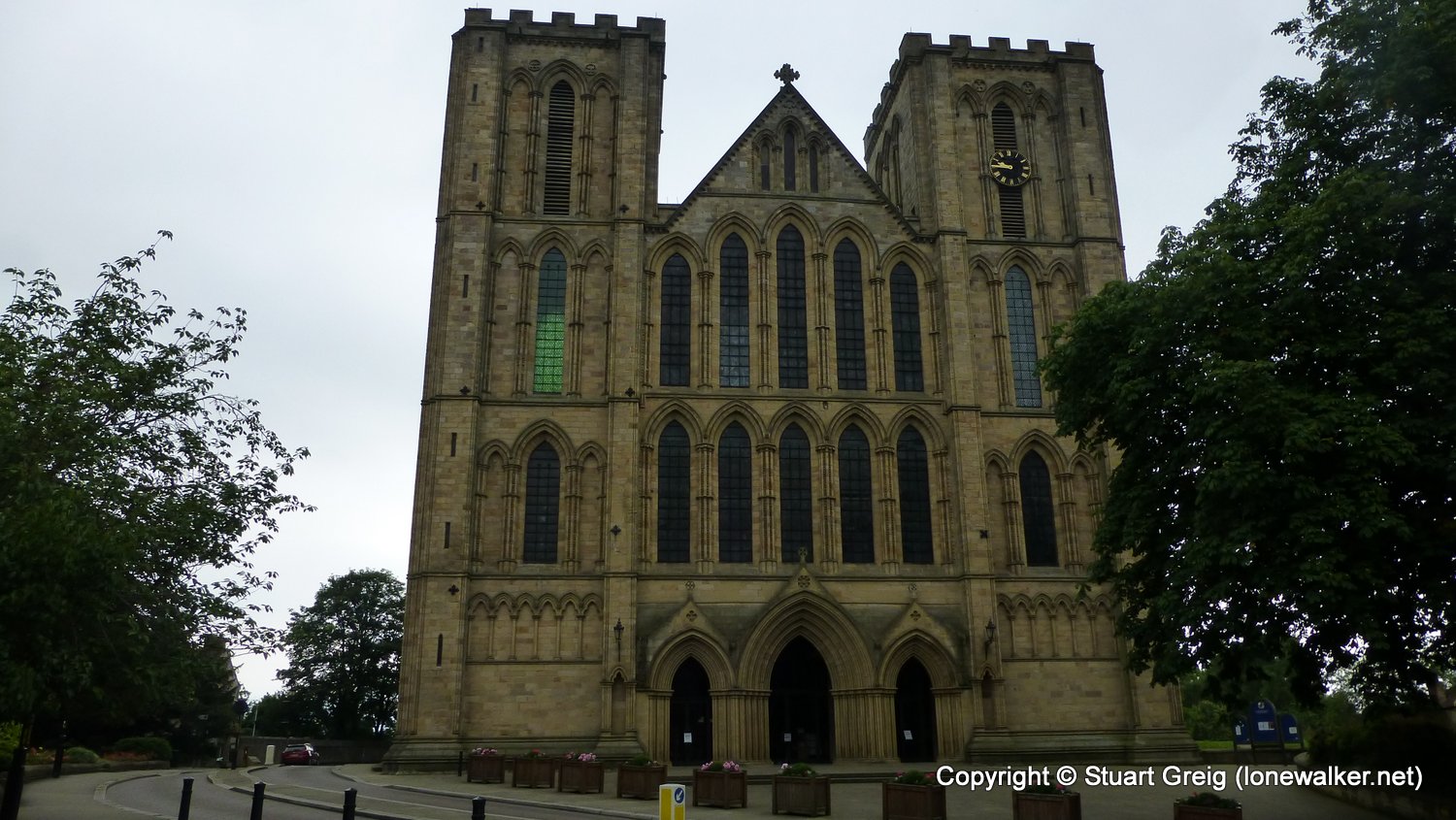
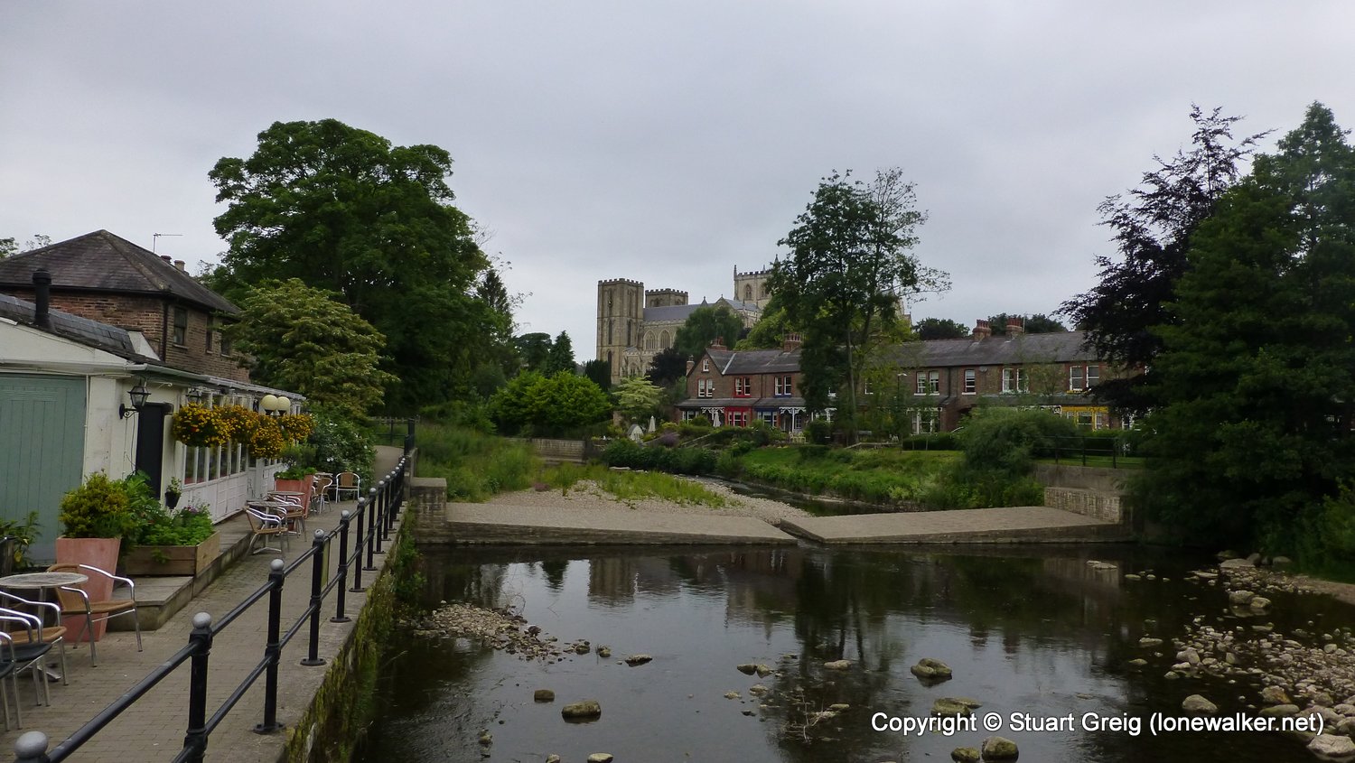
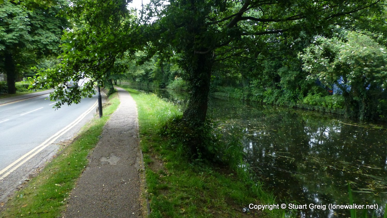
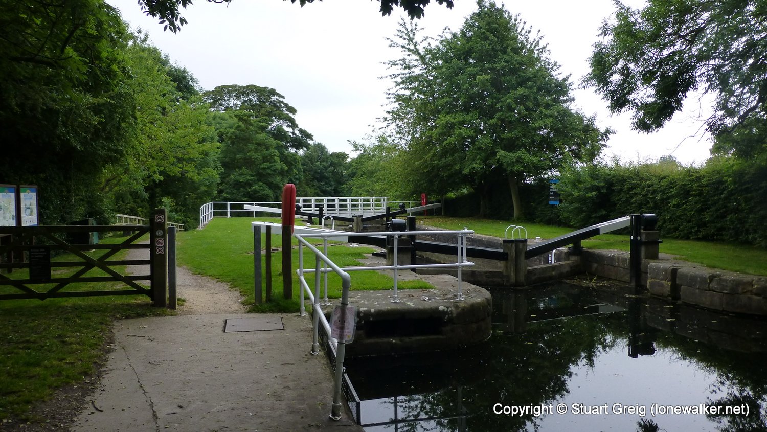
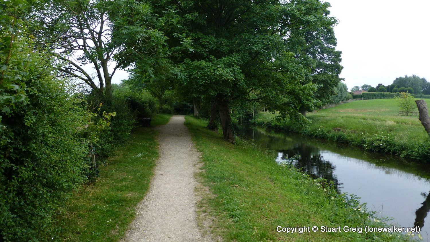
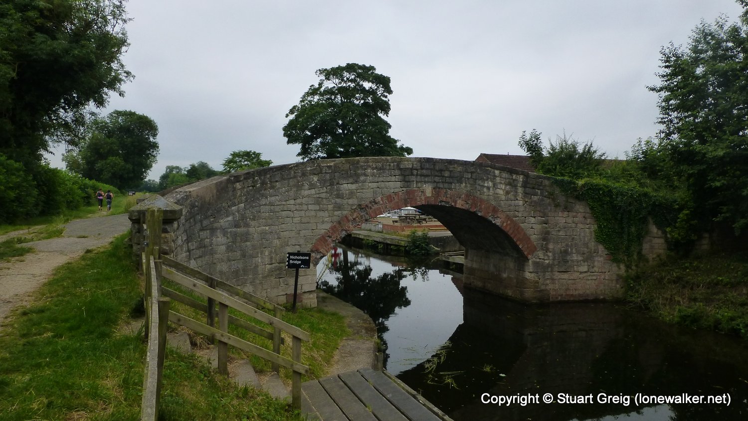
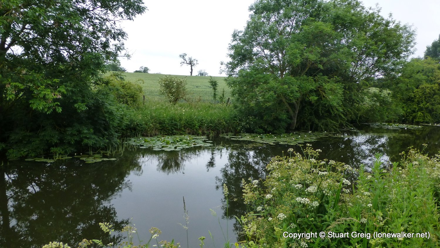
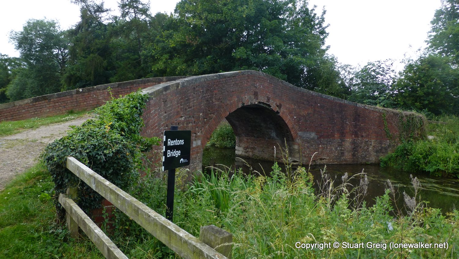
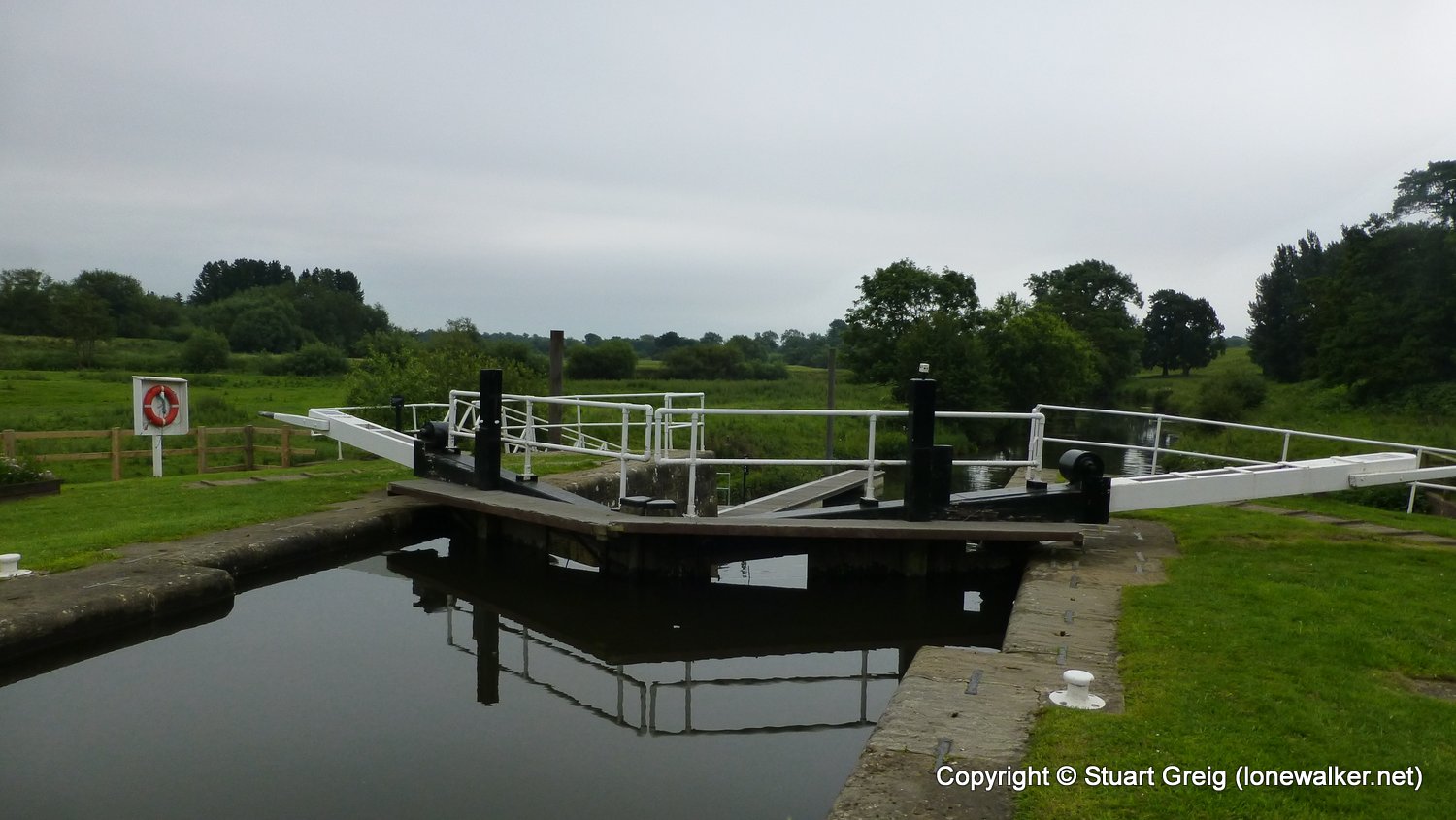
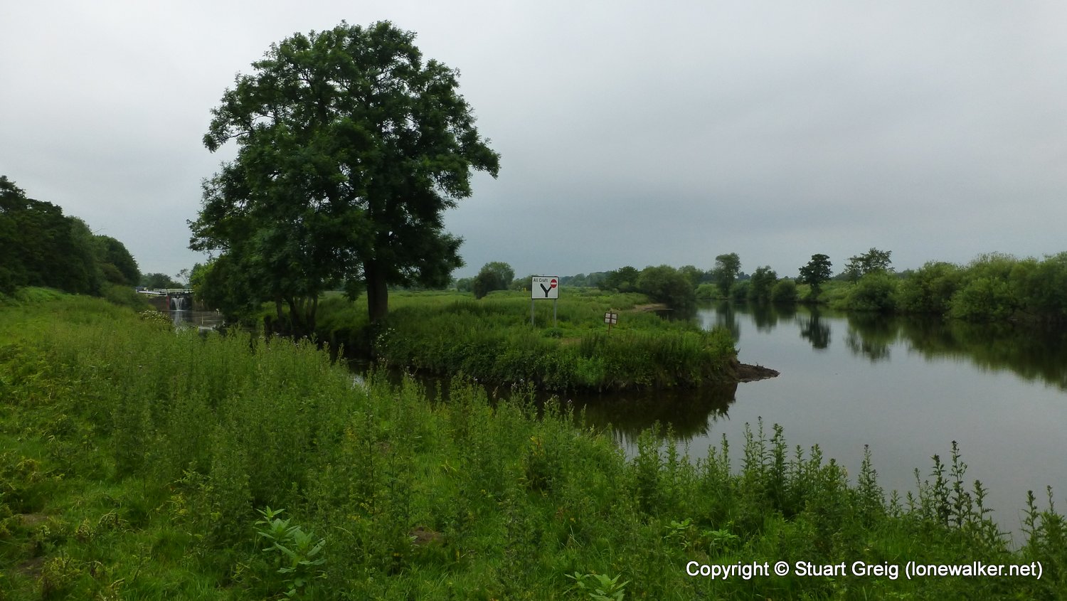
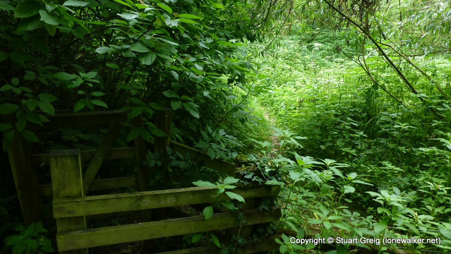
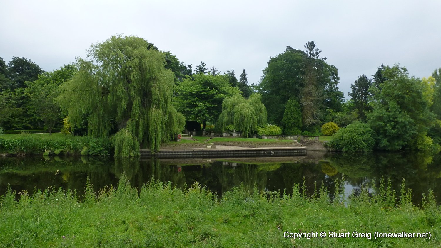
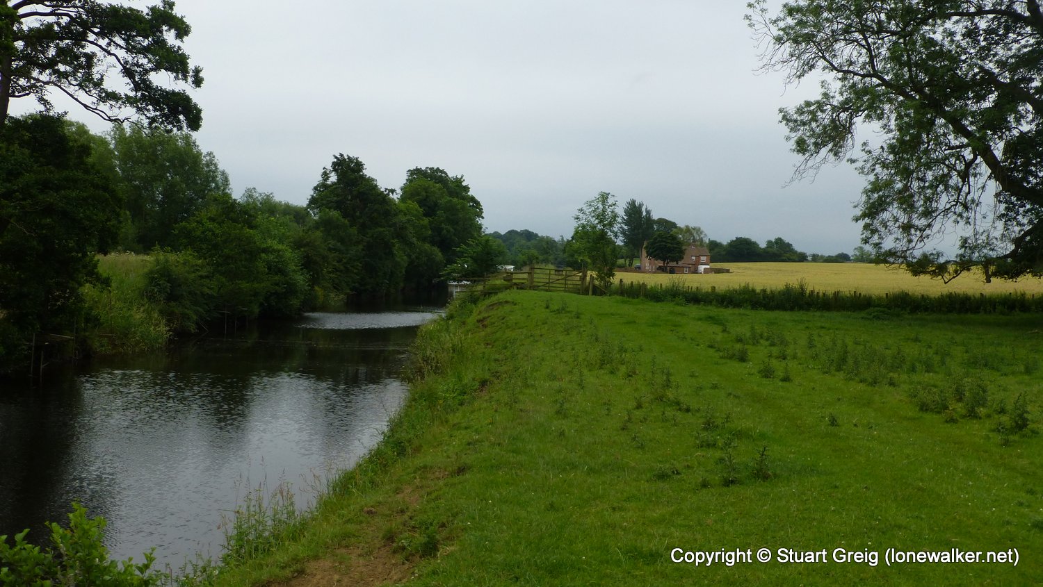
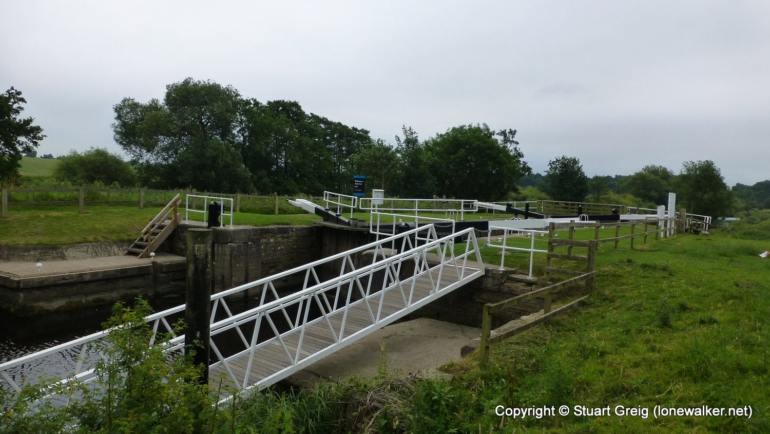
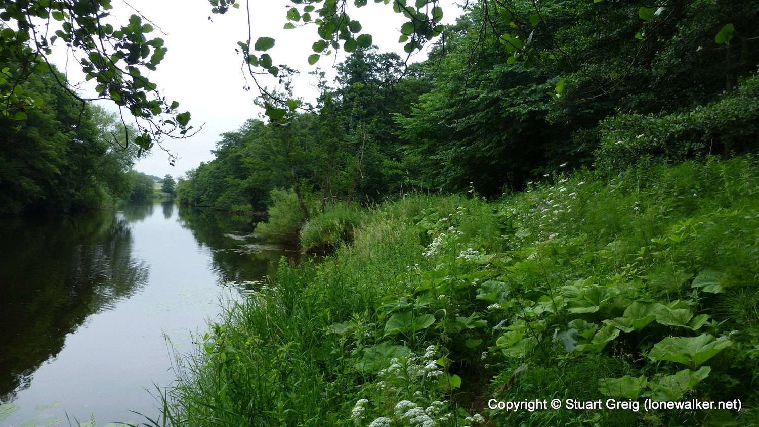
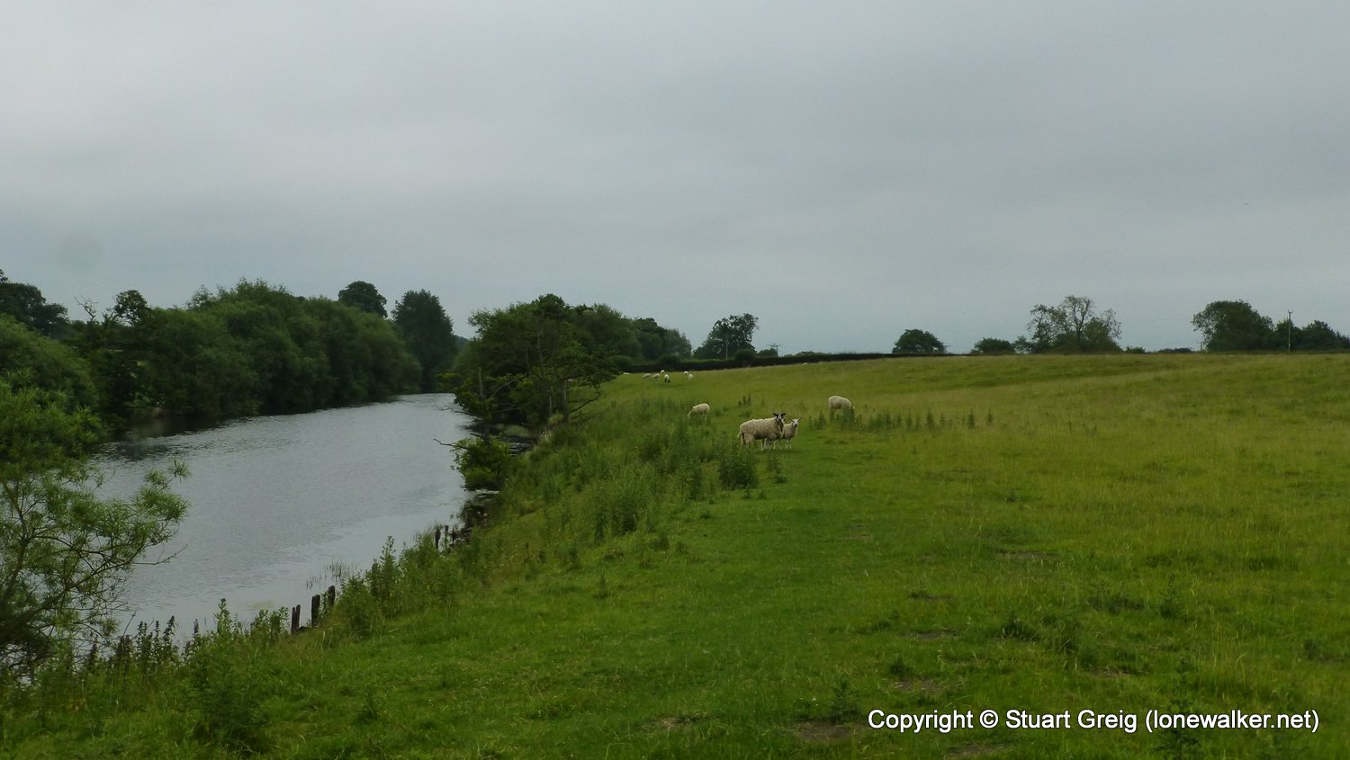
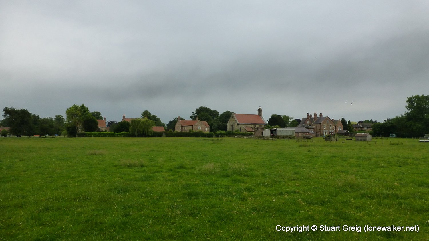
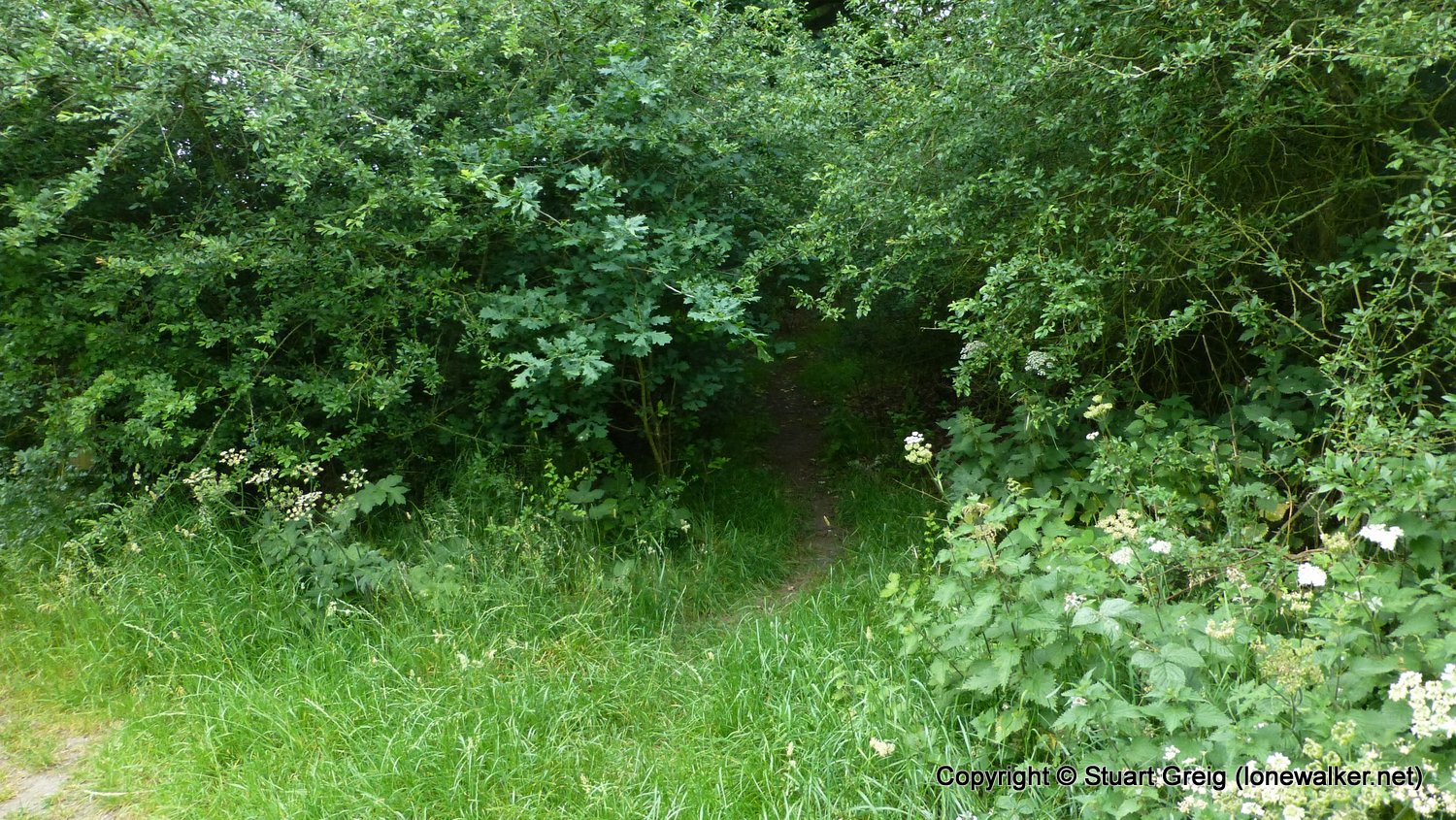
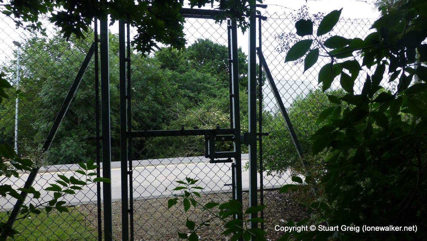
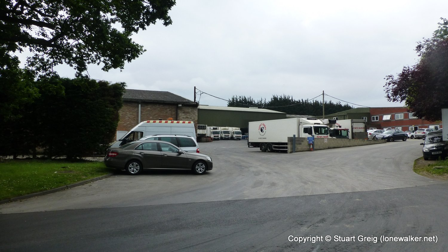
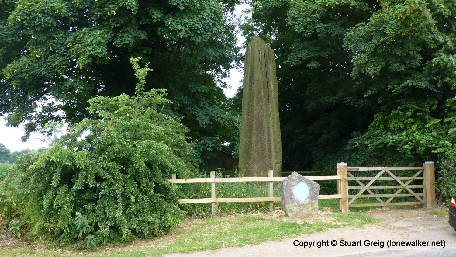
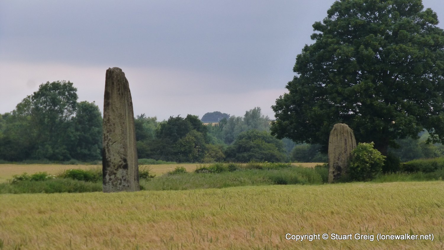
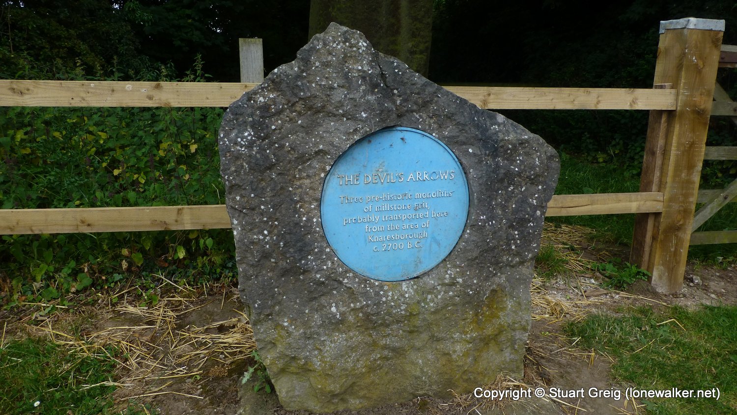
Route Description: Ripon, Bondgate, Marina, Grange Farm, Ox Close Lock, Holbeck Wood, The Island, Roecliffe, Bar Lane, Devils Arrows, Boroughbridge
Parking Grid Ref:
View Parking space in: OS Map or Google Street View
Walking with:
Long Distance Path: Yoredale Way
Click any image to open the full screen photo gallery


Walk Name: Masham to Ripon
Date: 2017-06-21
Distance: 14.0 mls, 22.53 km
Height Gain: 700 ft, 213.4 m
Walk Name: Kirkby Stephen Station to High Pike Hill
Date: 2017-09-02
Distance: 8.2 mls, 13.20 km
Height Gain: 1700 ft, 518.2 m