
Date: 2018-04-21
Start: Langwathby Station Finish: Appleby
Distance: 15.3 mls, 24.62 km
Height Gain: 1100 ft, 335.3 m
Start Time: 08:25 End Time: 14:45
Duration: 06:20
Ave Speed: 2.4 mph
Region: Northern England
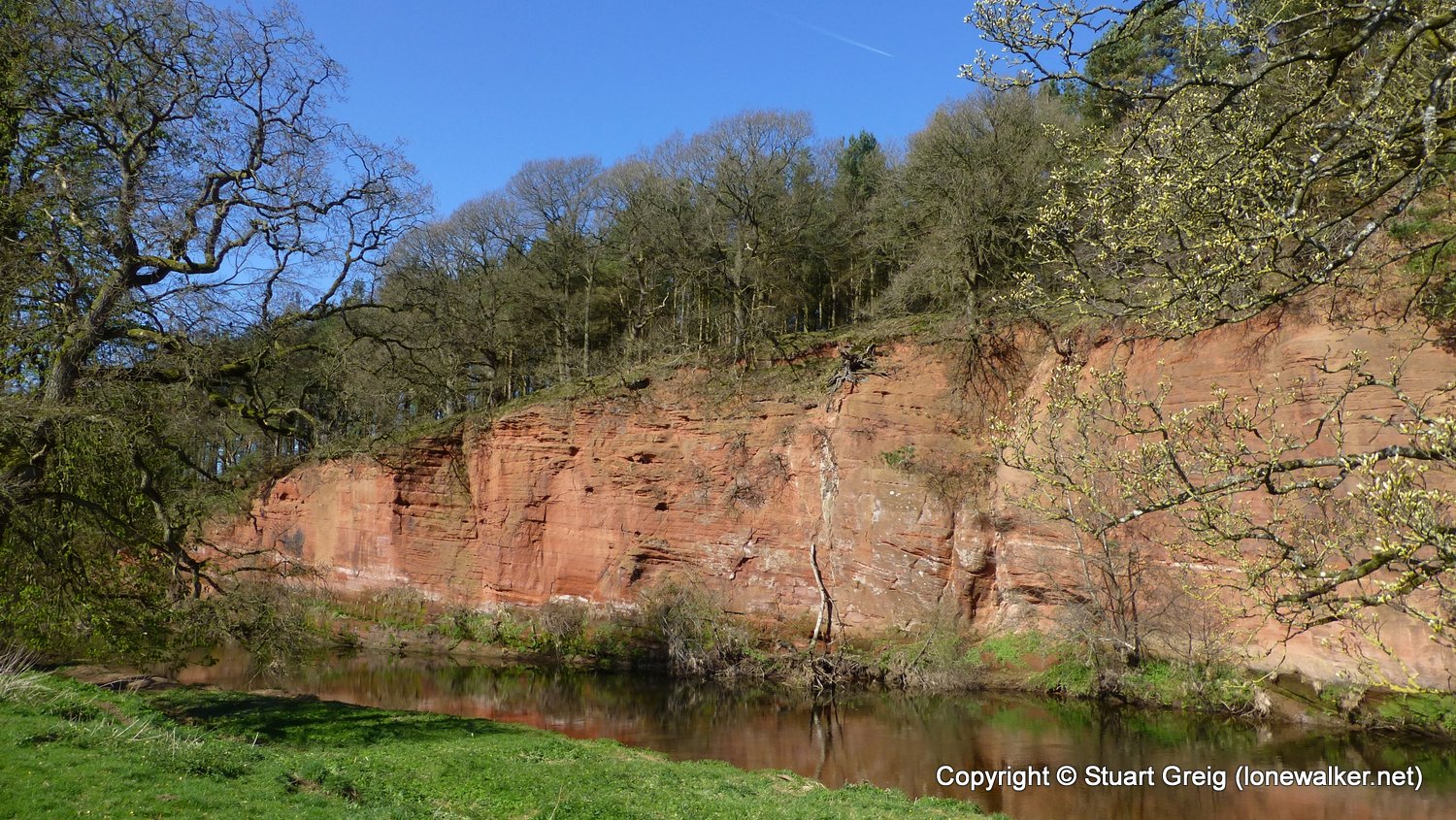
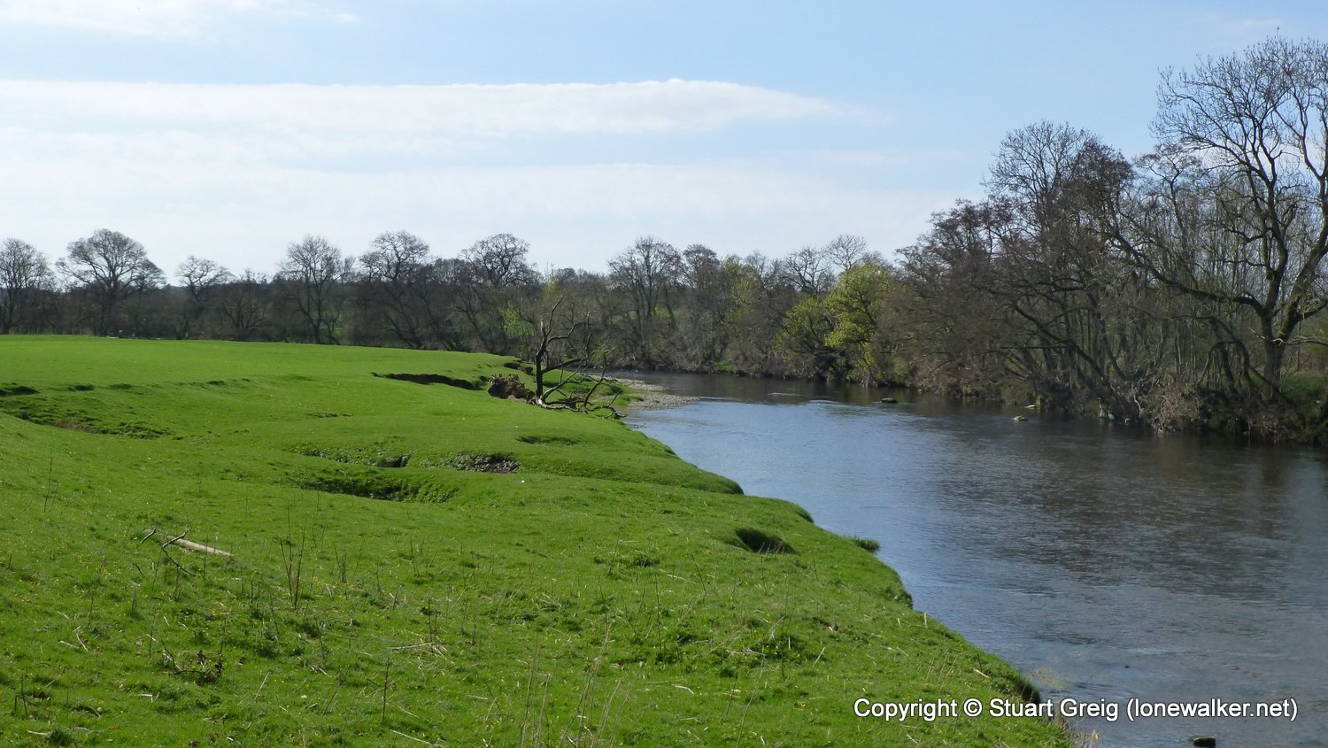
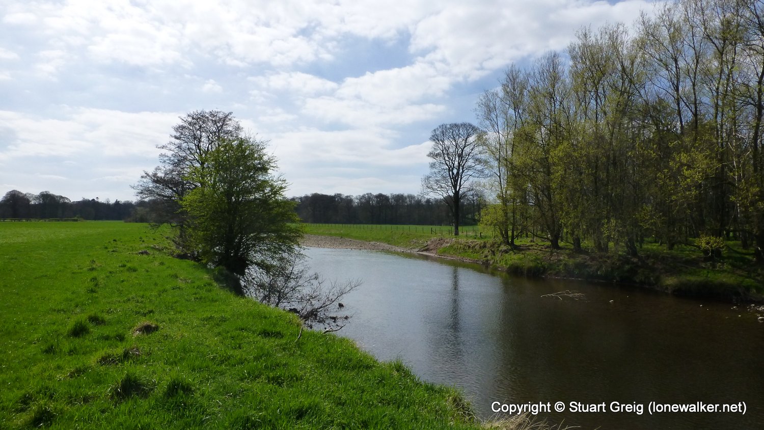
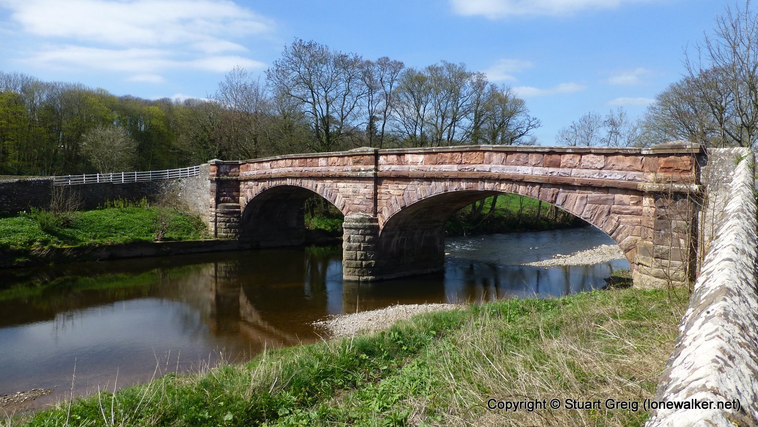
Route Description: Langwathby Station, High Barn, Wastebank Woods, Mill Rigg Farm, Eden Bridge, Skygarth Bridge, Ousenstand Bridge, Town End, Bolton Bridge, Sweetmilk Bridge, Limekiln Hill, Dowpits Wood, Appleby
Parking Grid Ref: NY 68240 20341
View Parking space in: OS Map or Google Street View
Walking with:
Long Distance Path: Eden Way
Click any image to open the full screen photo gallery


Walk Name: Kirkby Stephen to Kirkby Stephen Station
Date: 2018-04-03
Distance: 2.3 mls, 3.70 km
Height Gain: 500 ft, 152.4 m
Walk Name: Thrang Bridge to Eden Source
Date: 2018-05-12
Distance: 9.4 mls, 15.13 km
Height Gain: 1600 ft, 487.7 m