
Date: 2018-05-12
Start: The Thrang Finish: The Thrang
Distance: 9.4 mls, 15.13 km
Height Gain: 1600 ft, 487.7 m
Start Time: 08:05 End Time: 13:15
Duration: 05:10
Ave Speed: 1.8 mph
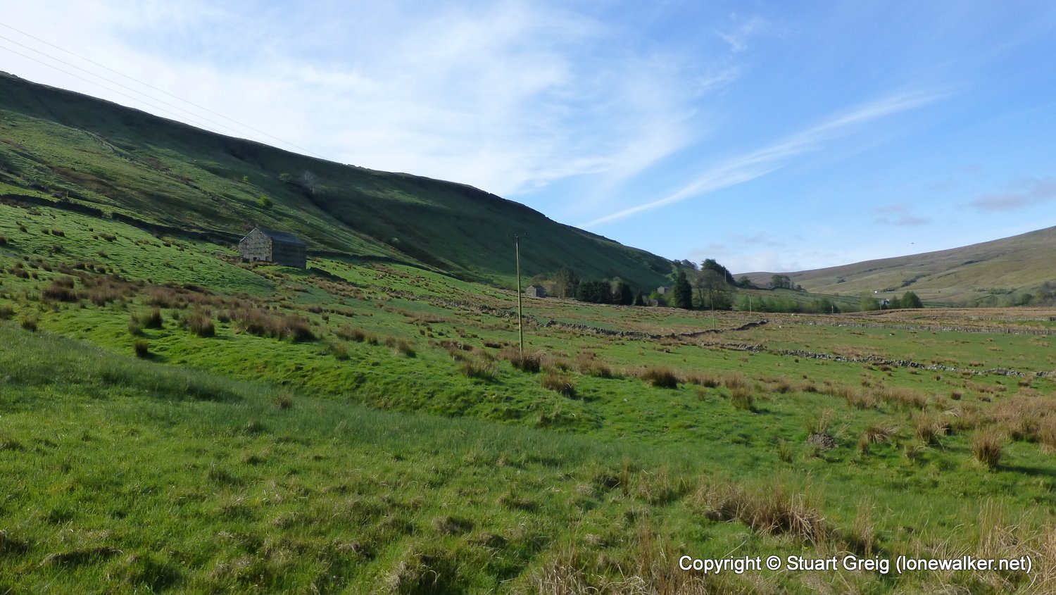
Region: Yorkshire Dales
Route Description: The Thrang, Thrang Bridge, The Holmes, Hazelgill, Cooper Hill, Ing Heads, Hanging Lund, Aisgill Farm, Intake, Hellgill Force, Hell Gill Bridge, Hell Gill Beck, Black Fell Moss, Eden Springs, Ladys Pillar, Black Pet, Old Track, The Thrang
Parking Grid Ref: NY 78307 00480
View Parking space in: OS Map or Google Street View
Walking with:
Long Distance Path: Eden Way
2726 - Hugh Seat (2258 ft)
Click any image to open the full screen photo gallery


 and Ingleborough (left)")


Walk Name: Langwathby to Appleby
Date: 2018-04-21
Distance: 15.3 mls, 24.62 km
Height Gain: 1100 ft, 335.3 m
Walk Name: Garsdale Head to Muker
Date: 2018-06-02
Distance: 13.6 mls, 21.89 km
Height Gain: 2100 ft, 640.1 m