
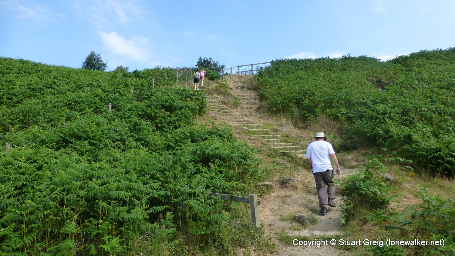
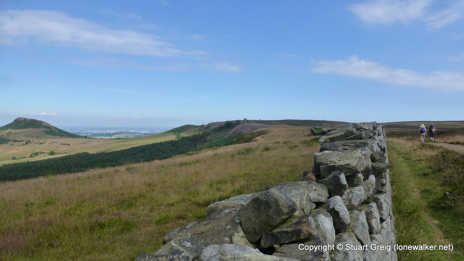
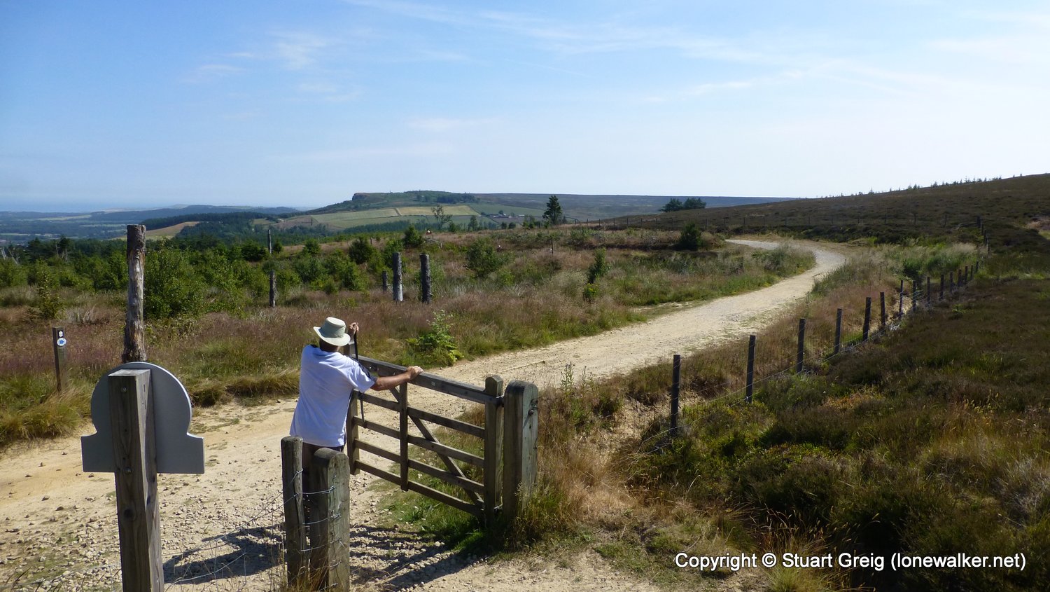
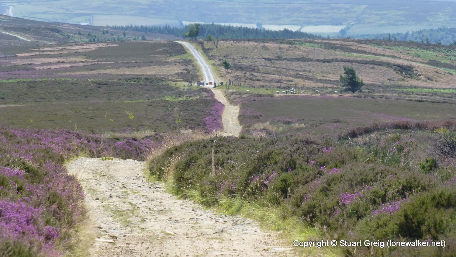
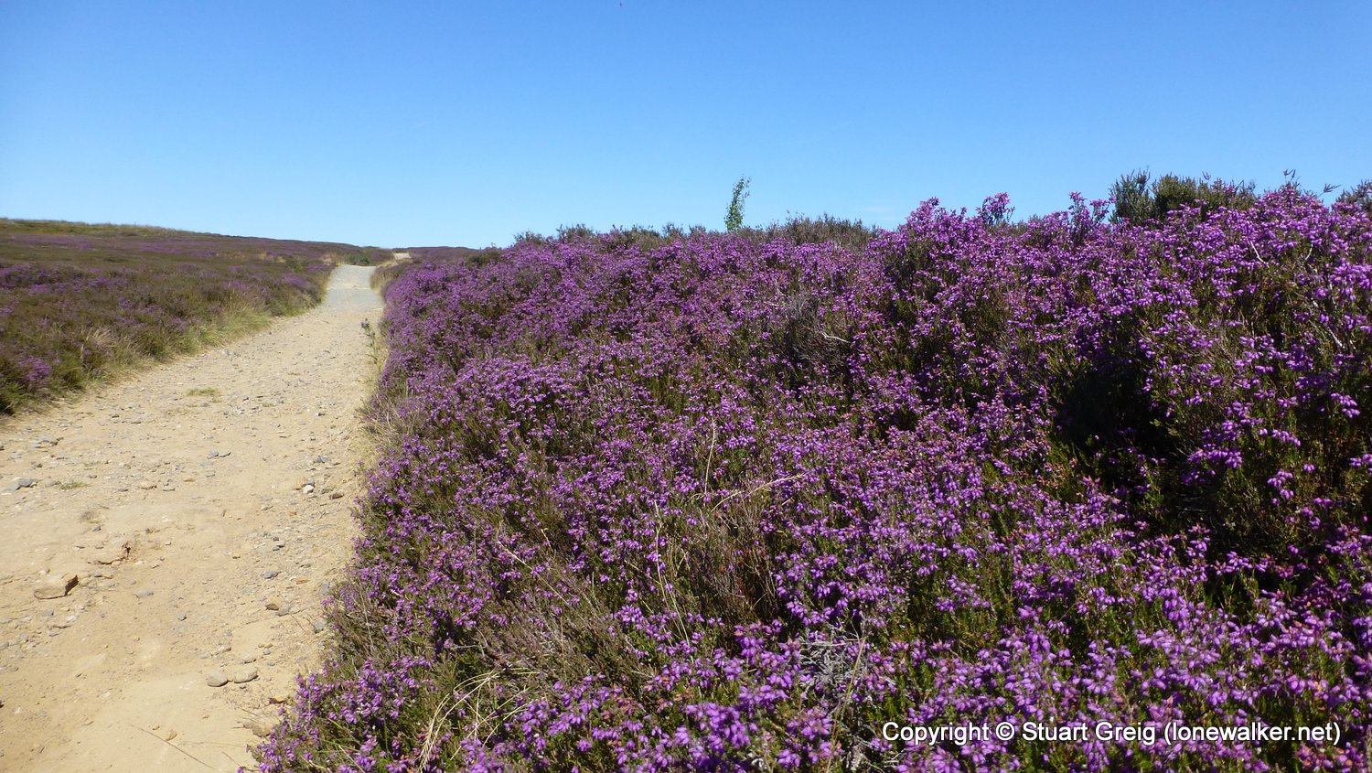
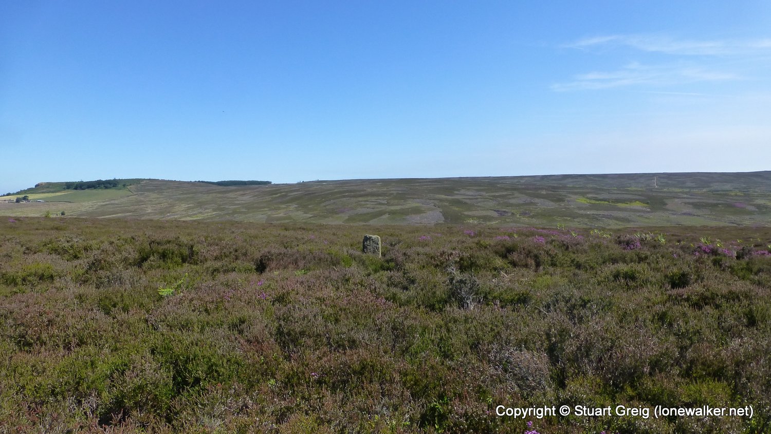
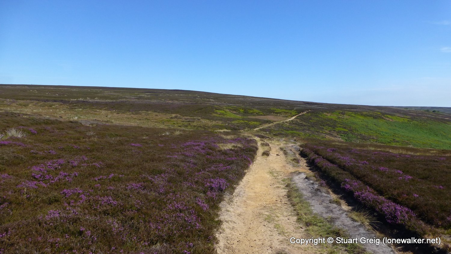
Superb sunny day, walking with Chris, despite badly turned ankle the previous day. Moors were superb with heather out in full bloom. Cracking day!
Date: 2018-07-07
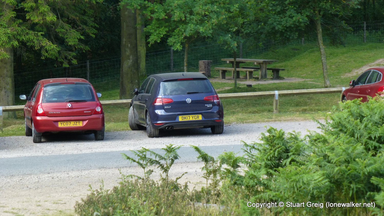
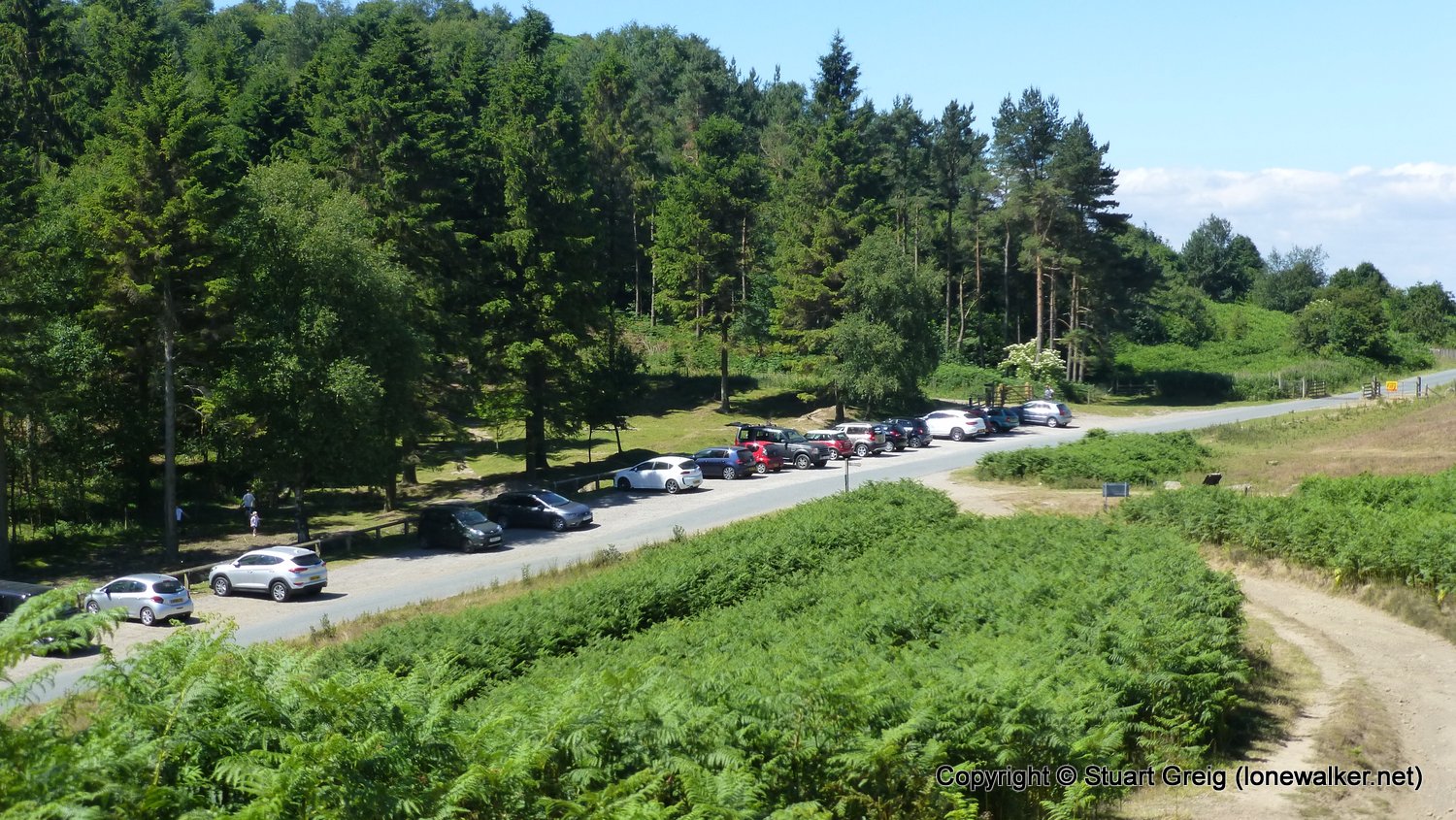
Start: Gribdale Gate Finish: Gribdale Gate
Distance: 5.5 mls, 8.85 km
Height Gain: 1100 ft, 335.3 m
Start Time: 09:30 End Time: 12:00
Duration: 02:30
Ave Speed: 2.2 mph
Region: North Yorks Moors
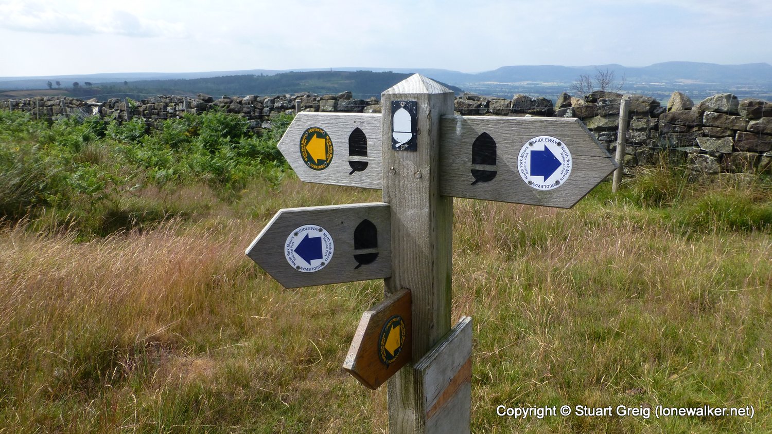
Route Description: Gribdale Gate, High Intake Plantation, Roseberry Common, Roseberry Topping, Hutton Moor, Great Ayton Moor, Gribdale Gate
Parking Grid Ref: NZ 59230 10994
View Parking space in: OS Map or Google Street View
Walking with: Chris Pilgrim
Long Distance Path:
5611 - Roseberry Topping (1050 ft)
TP5734 - Roseberry Topping (Good condition)
Click any image to open the full screen photo gallery


Walk Name: Scar House Reservoir
Date: 2018-07-06
Distance: 7.8 mls, 12.55 km
Height Gain: 700 ft, 213.4 m
Walk Name: Swinner Gill from Keld
Date: 2018-07-08
Distance: 4.3 mls, 6.92 km
Height Gain: 1200 ft, 365.8 m