
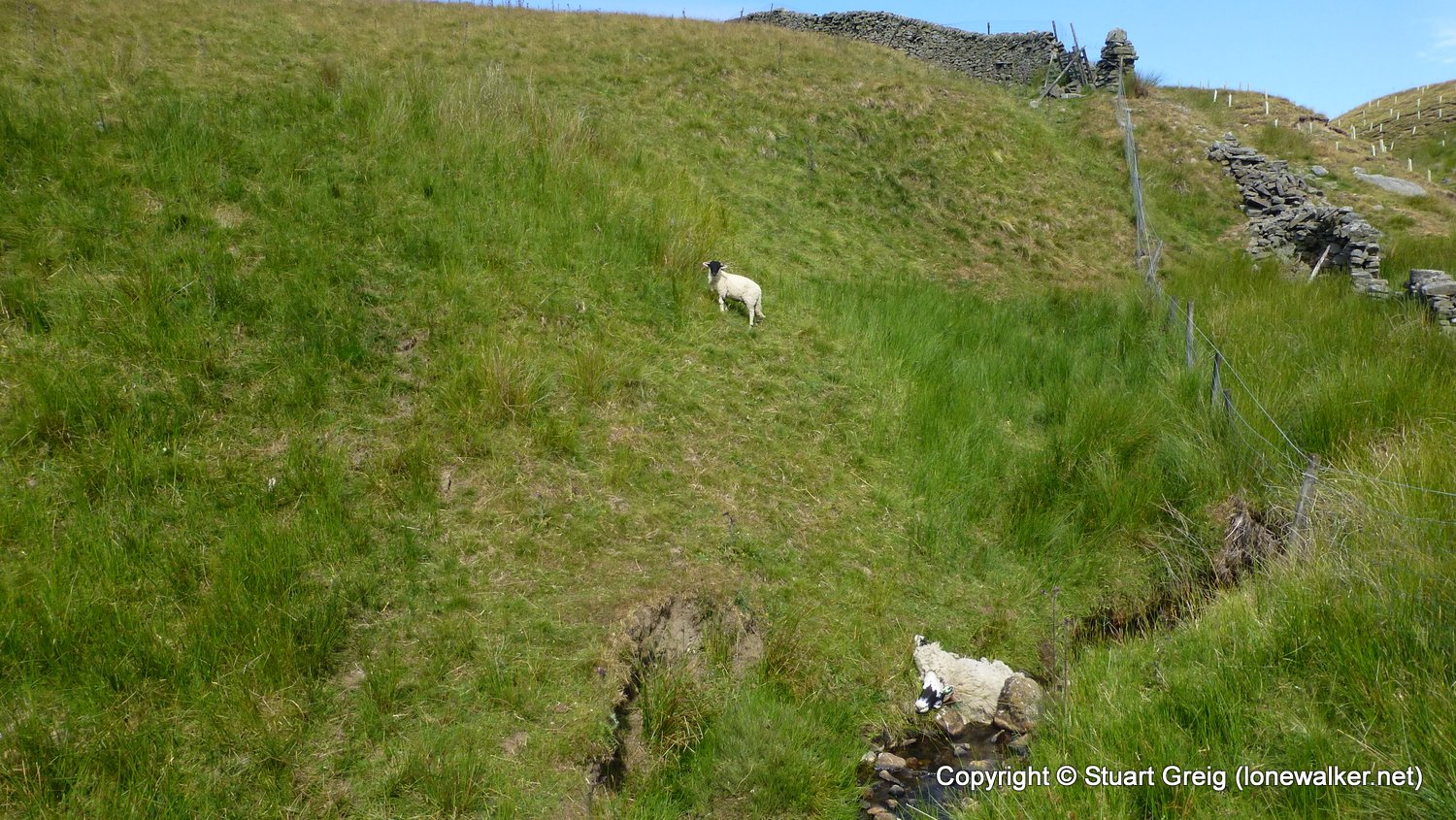
Fantastic sunny day cut short by really bad ankle twist that soon swelled to immense proportions!
Date: 2018-07-06
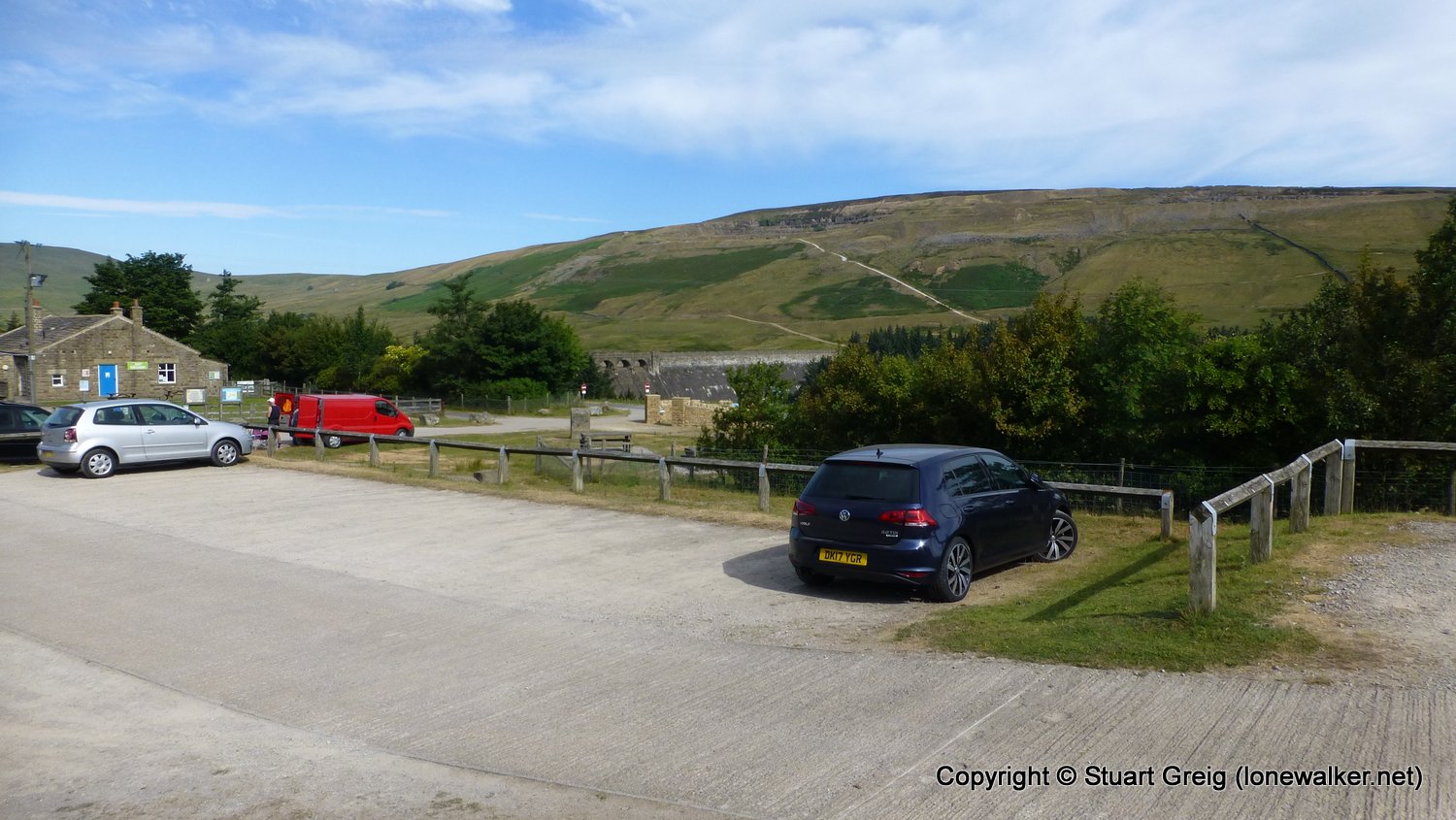
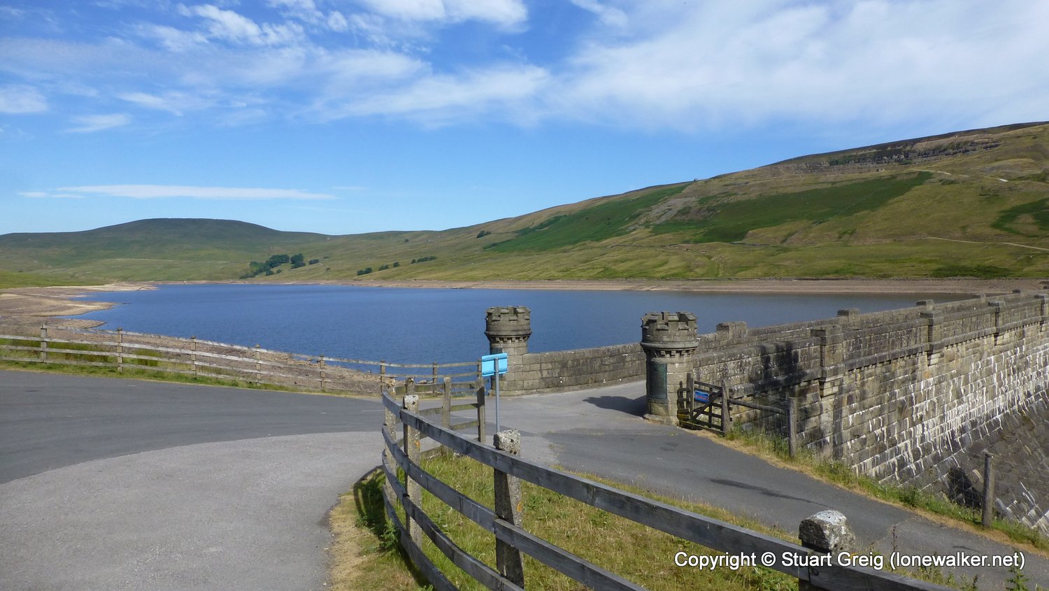
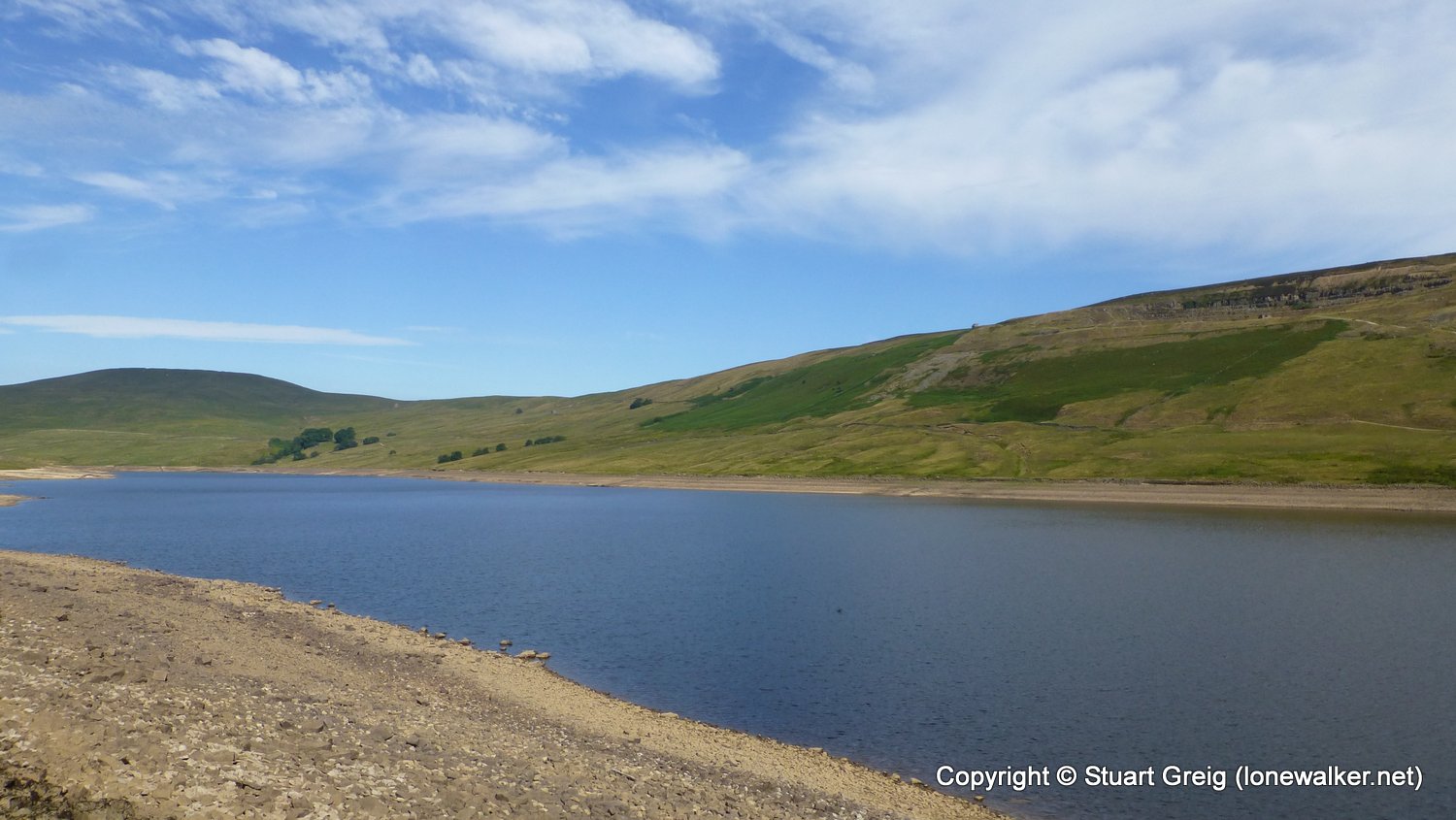
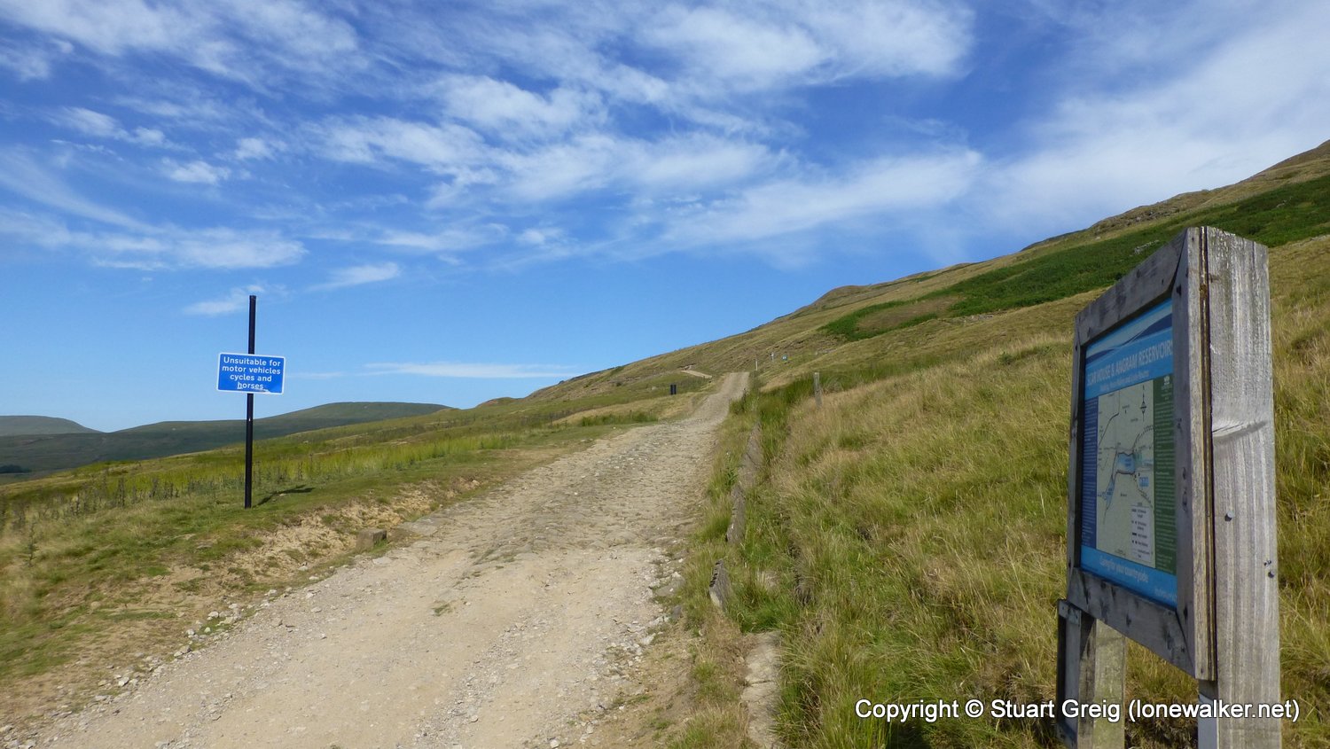
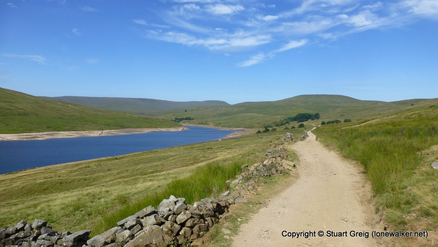
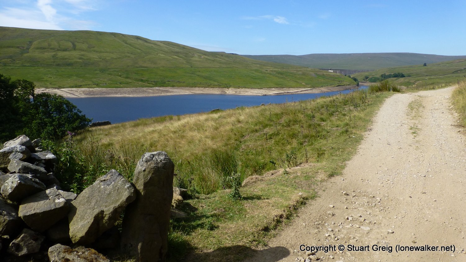
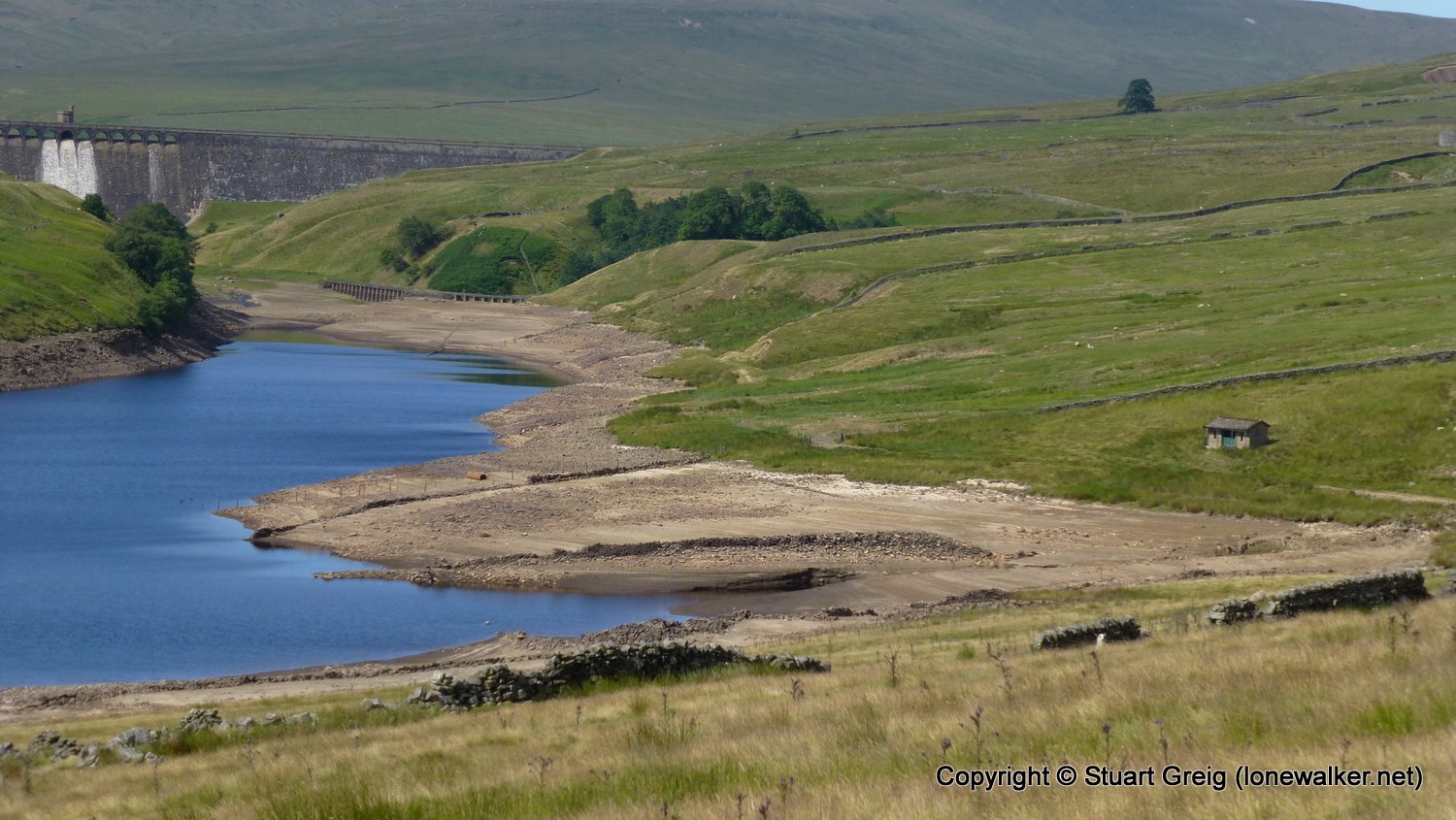
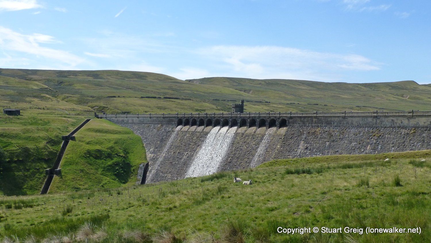
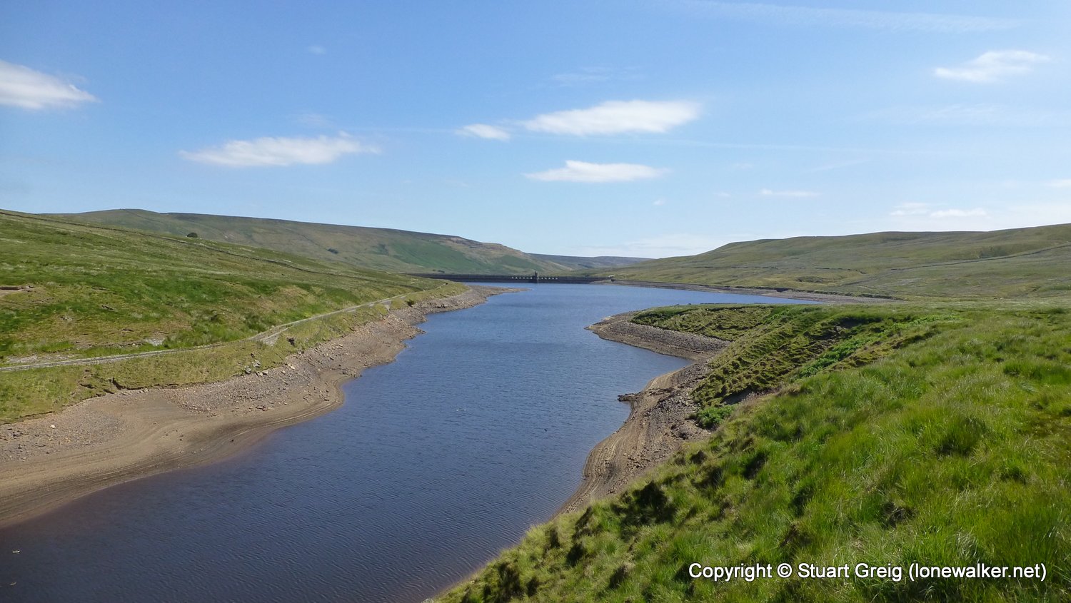
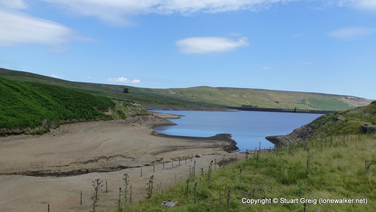
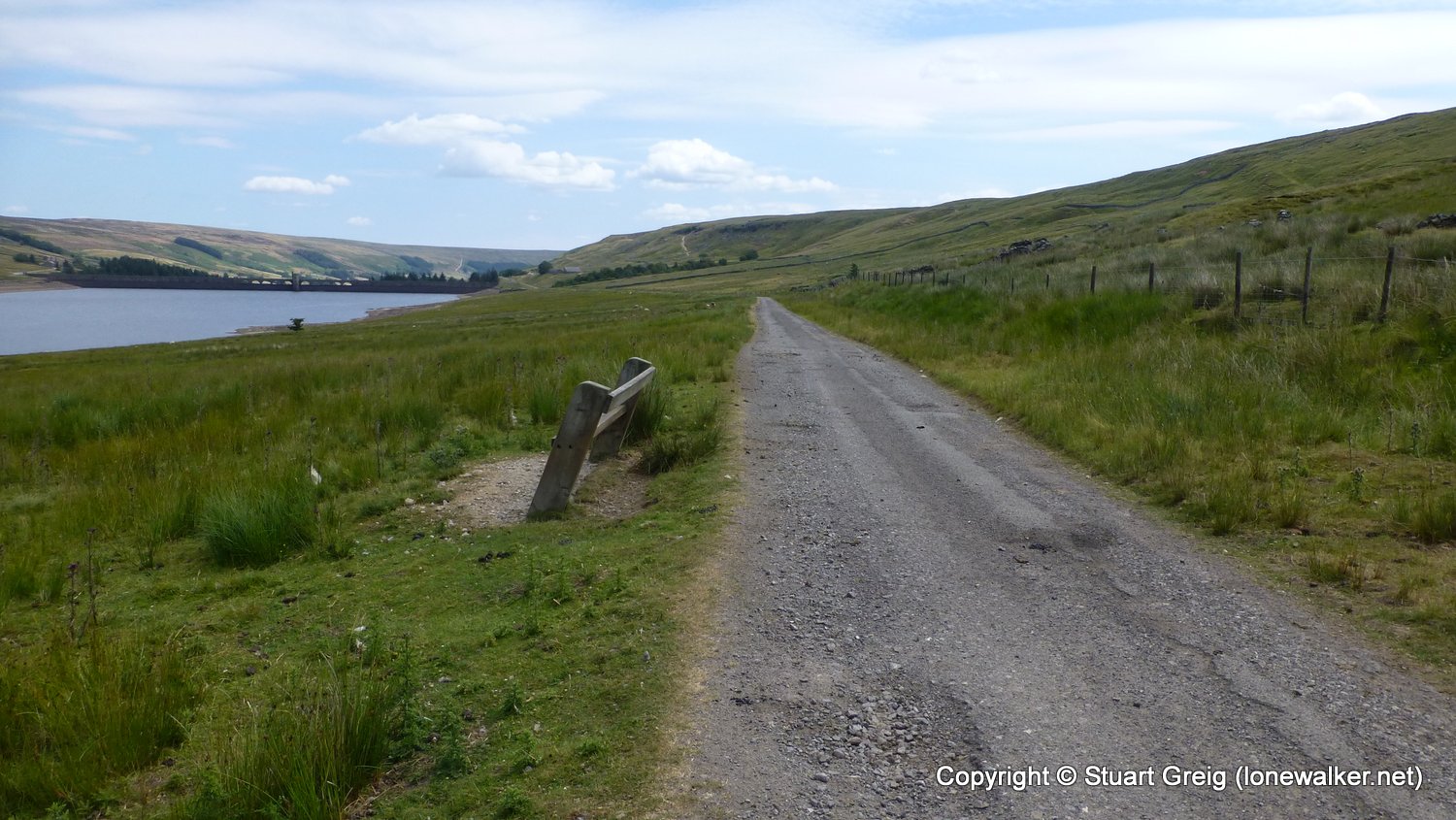
Start: Scar House Reservoir Finish: Scar House Reservoir
Distance: 7.8 mls, 12.55 km
Height Gain: 700 ft, 213.4 m
Start Time: 09:25 End Time: 13:10
Duration: 03:45
Ave Speed: 2.1 mph
Region: Yorkshire Dales
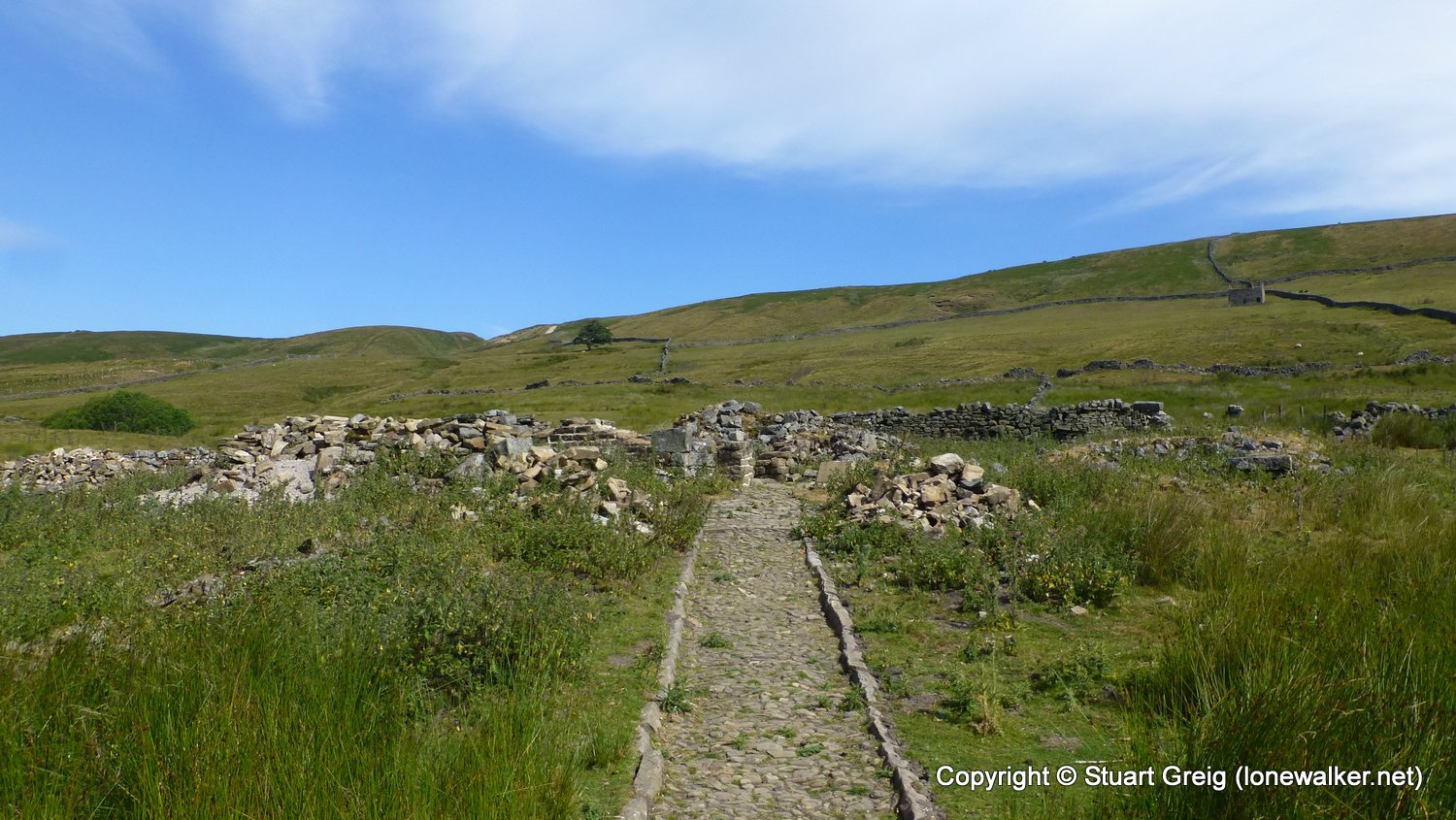
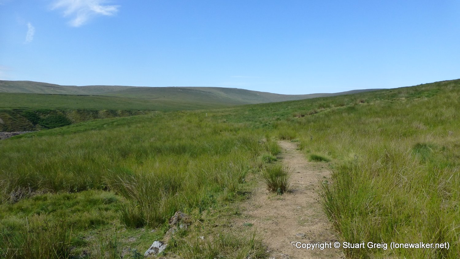
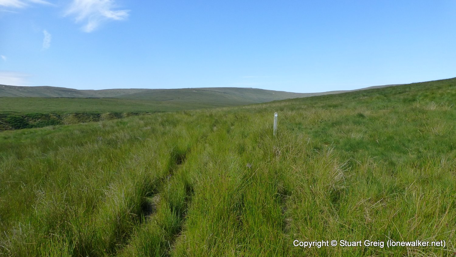
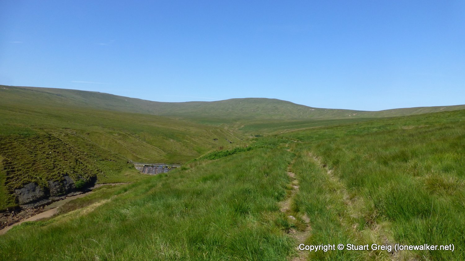
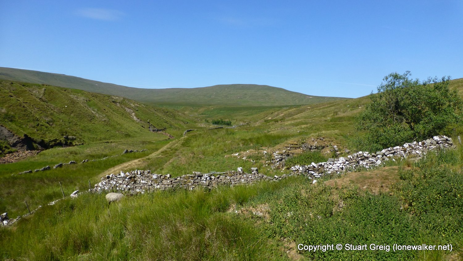
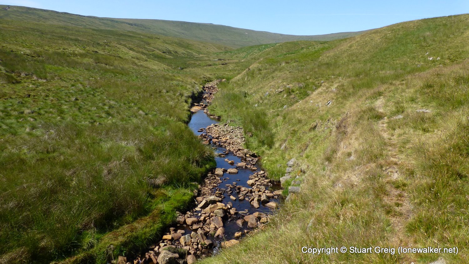
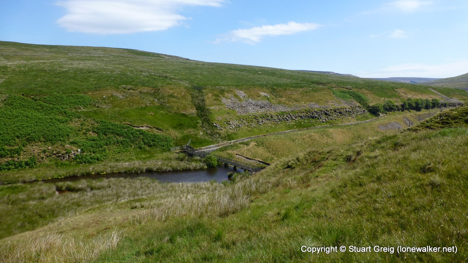
Route Description: Scar House Reservoir car park, Carle Side, Lodge, Pudding Hill, Angram Low Pasture, Maiden Gill Allotment, High Close, Scar House Reservoir car park
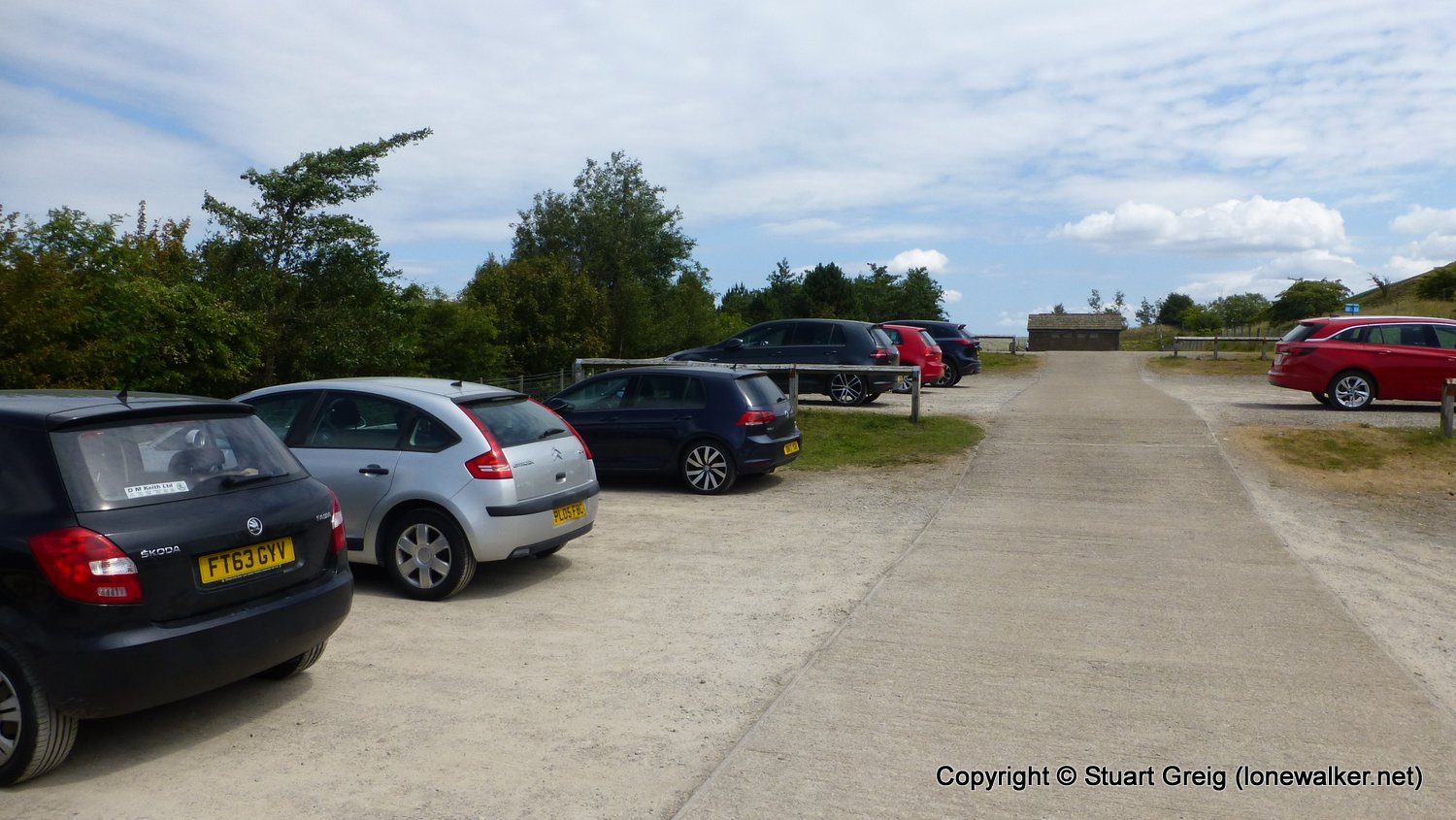
Parking Grid Ref: SE 06972 76660
View Parking space in: OS Map or Google Street View
Walking with:
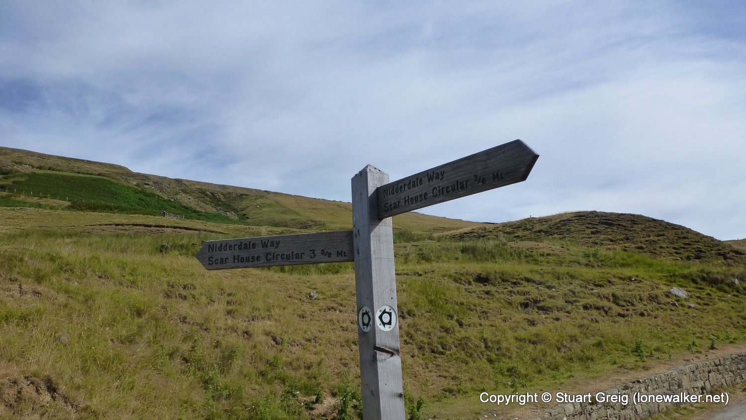
Long Distance Path: Nidderdale Way
Click any image to open the full screen photo gallery
Walk Name: Muker to Askrigg
Date: 2018-06-03
Distance: 10.2 mls, 16.42 km
Height Gain: 1700 ft, 518.2 m
Walk Name: Roseberry Topping
Date: 2018-07-07
Distance: 5.5 mls, 8.85 km
Height Gain: 1100 ft, 335.3 m