
Date: 2018-06-03
Start: Muker Finish: Askrigg
Distance: 10.2 mls, 16.42 km
Height Gain: 1700 ft, 518.2 m
Start Time: 09:00 End Time: 14:05
Duration: 05:05
Ave Speed: 2.0 mph
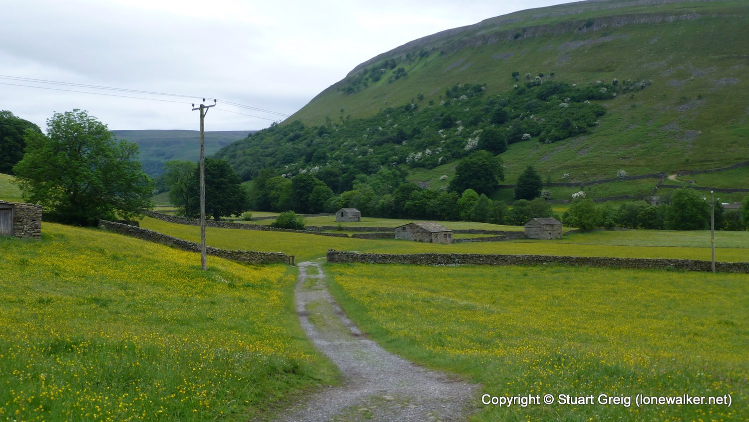
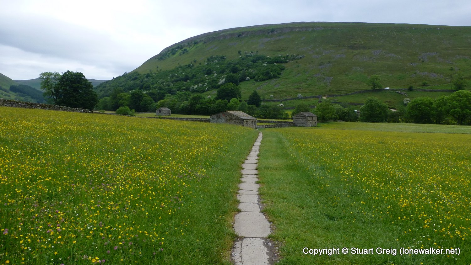
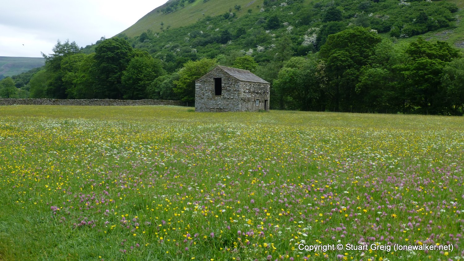
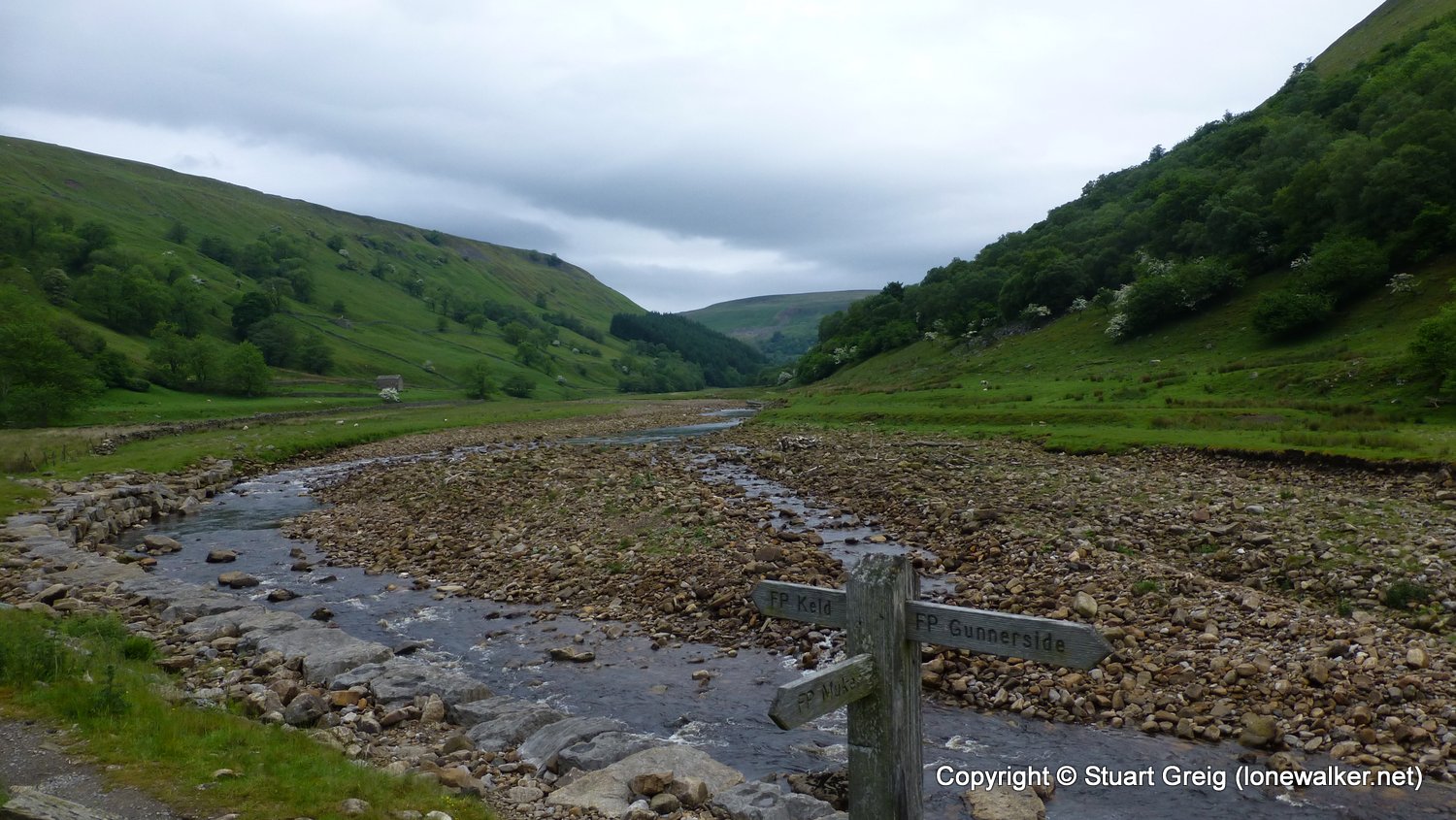
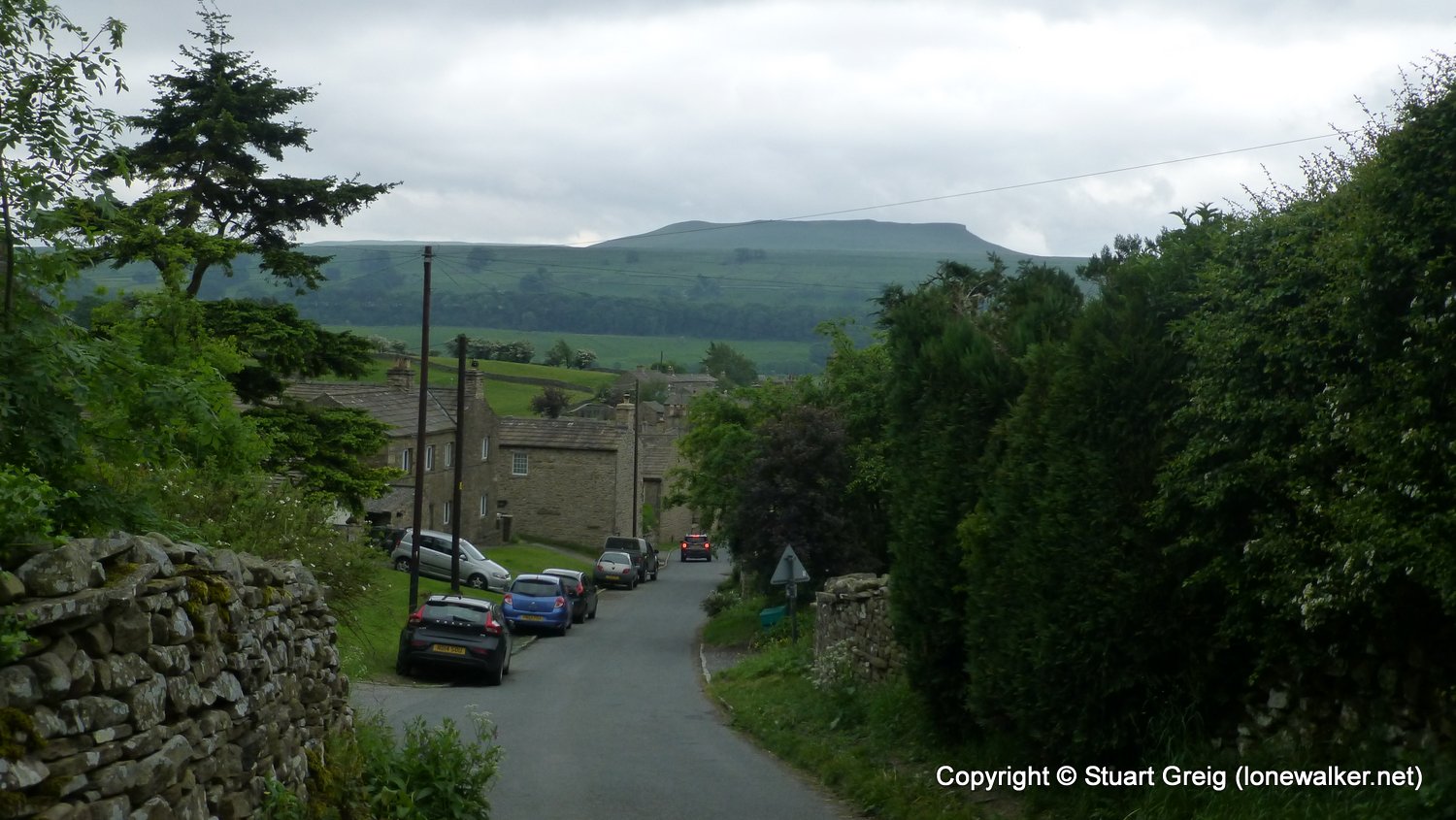
Region: Yorkshire Dales
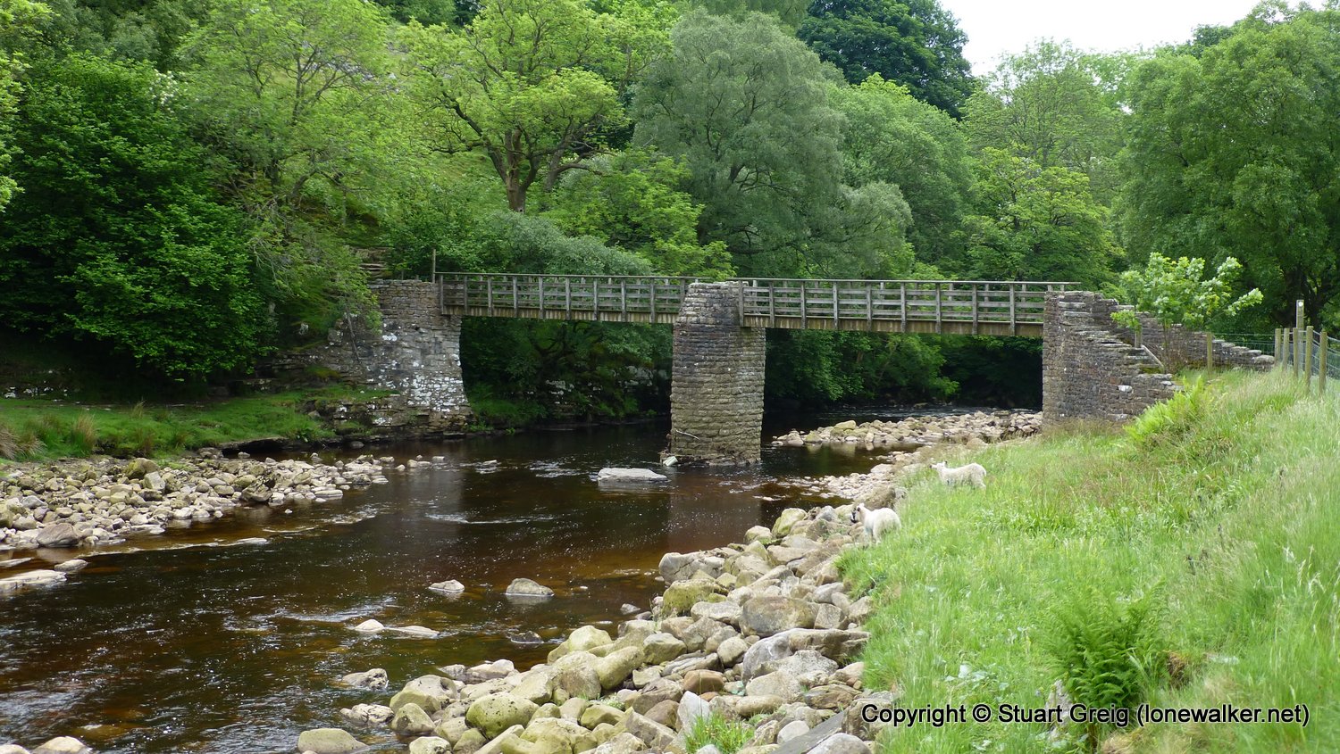
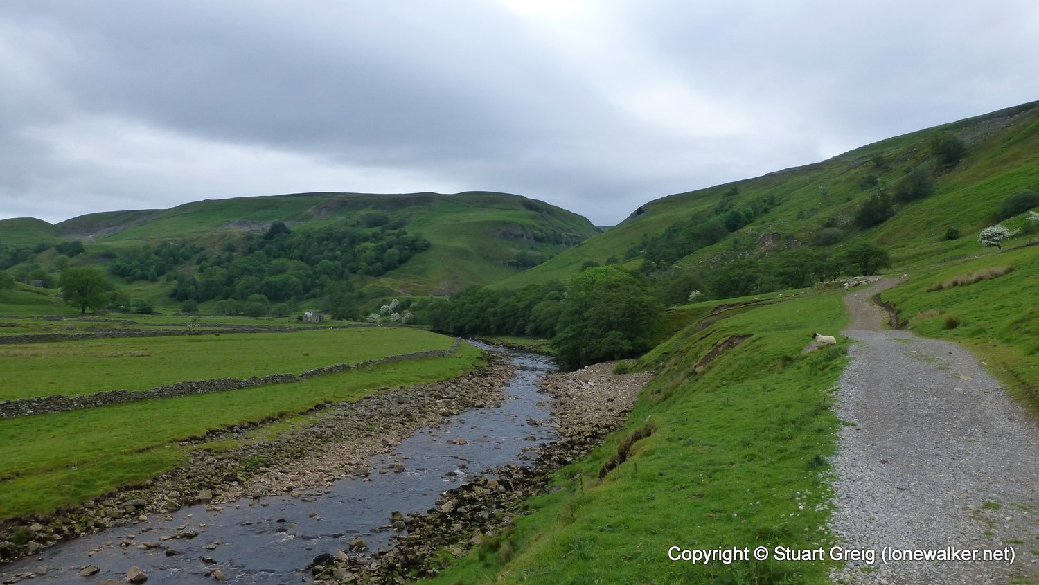
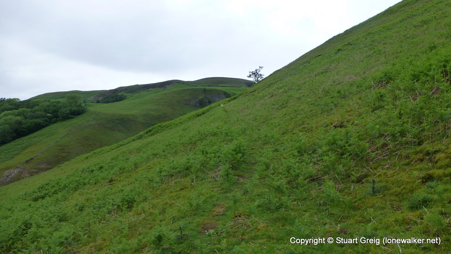
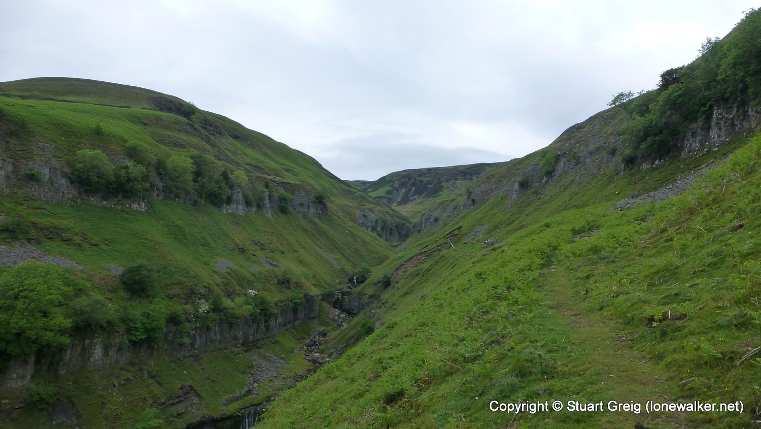
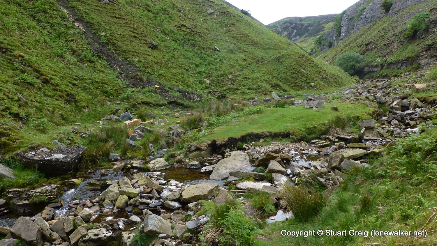
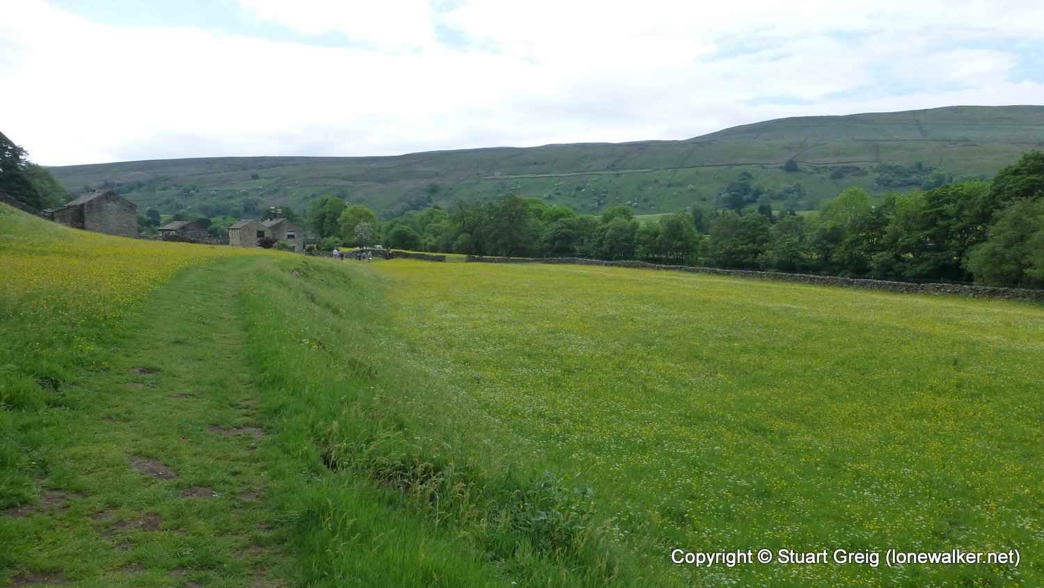
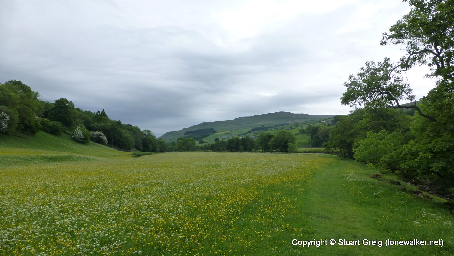
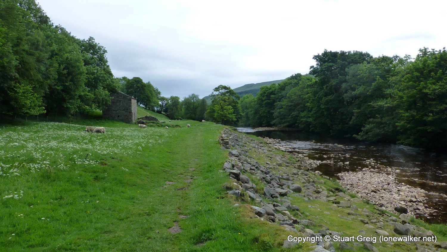
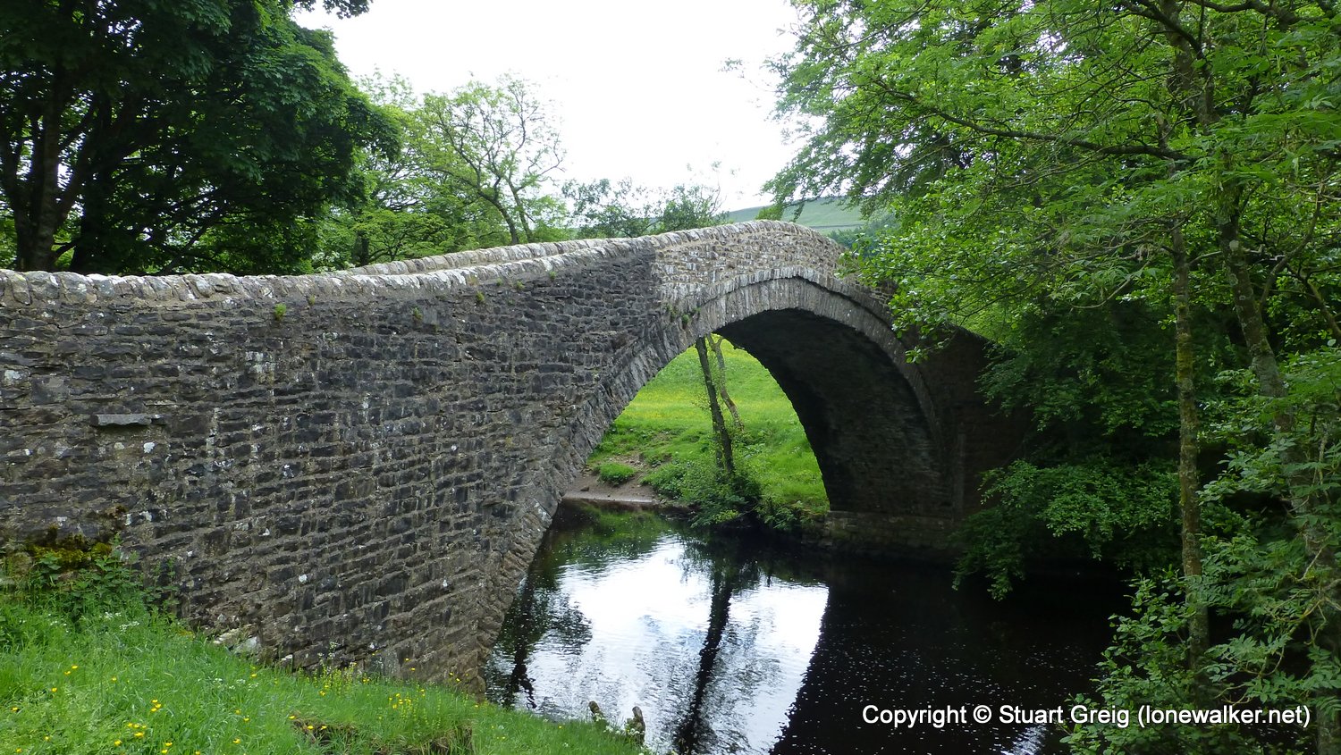
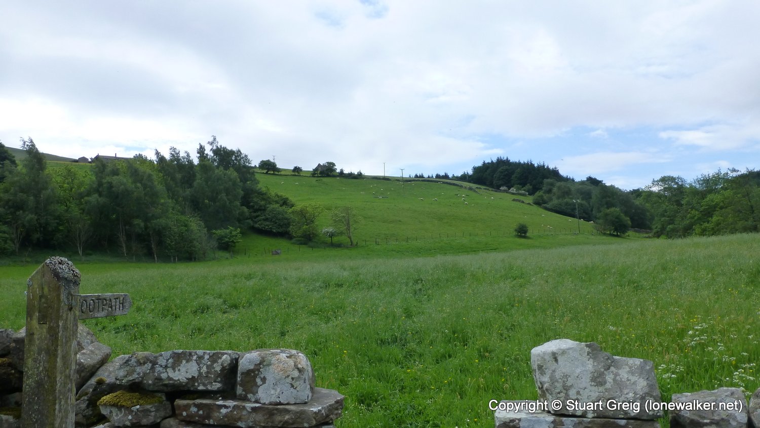
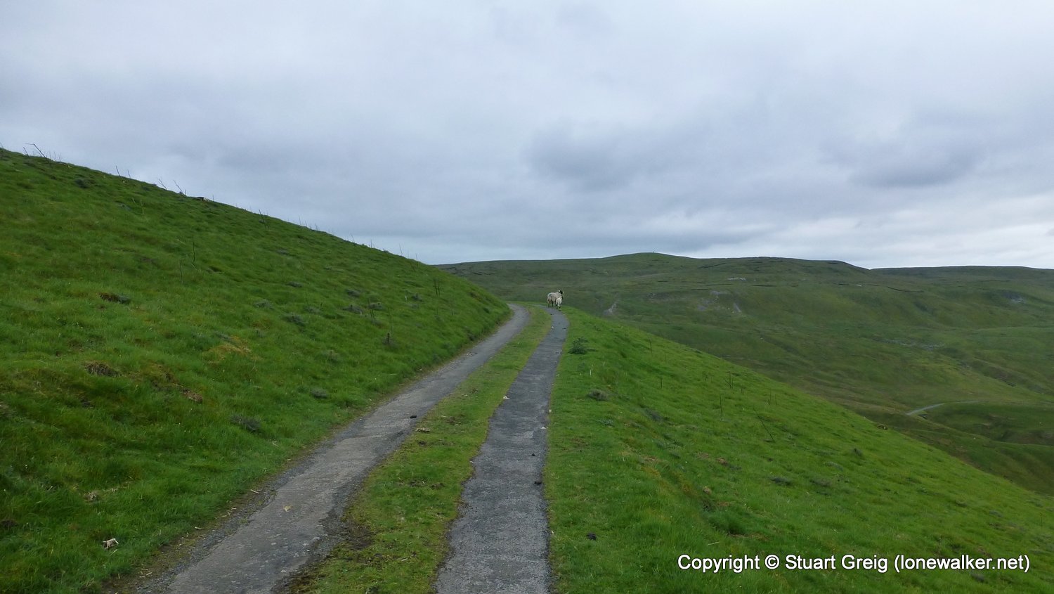
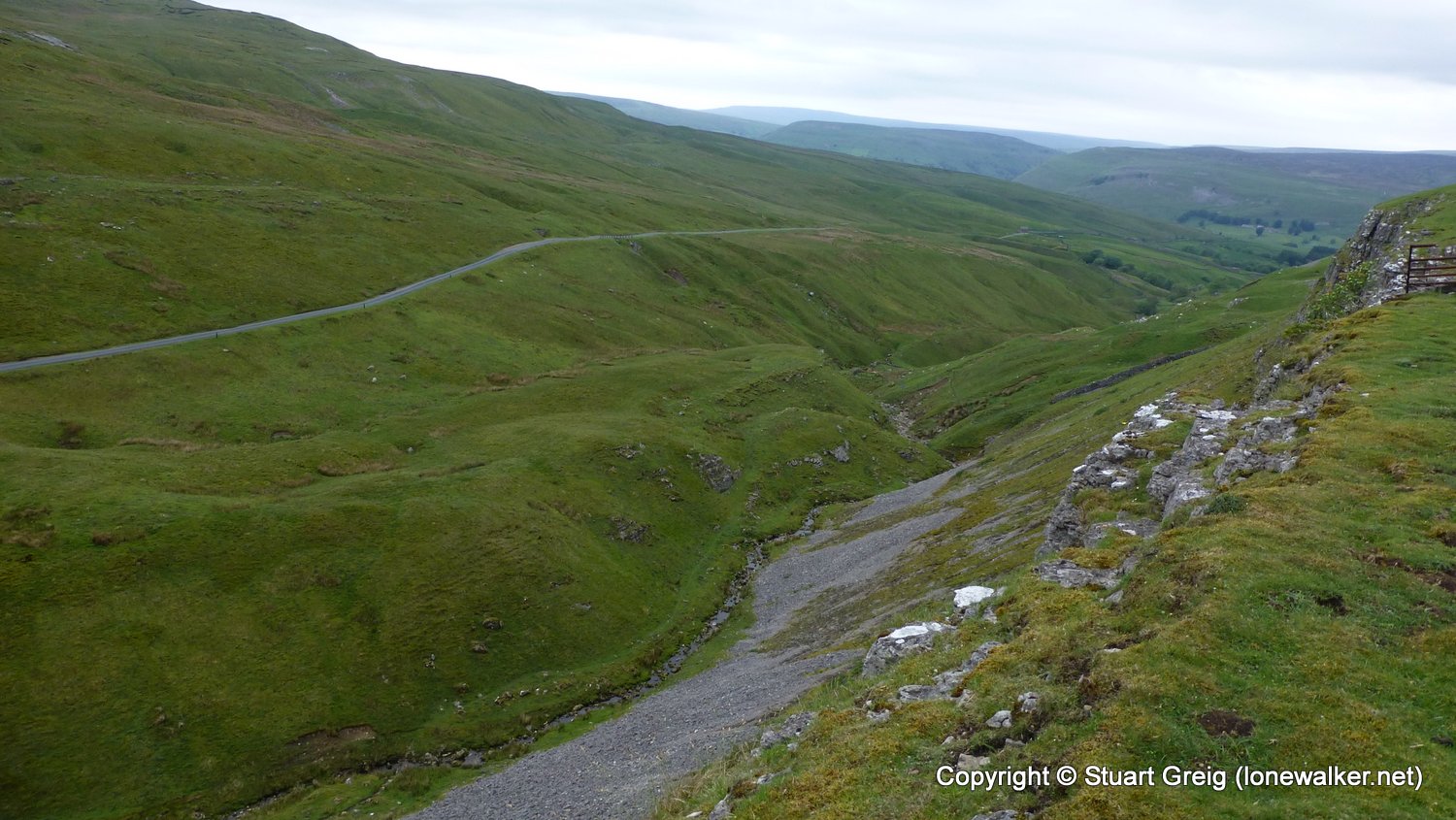
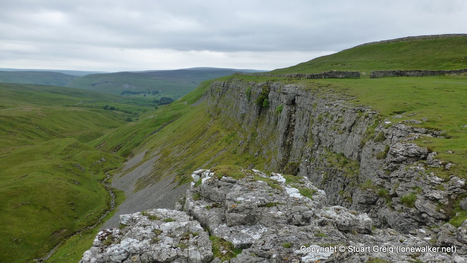
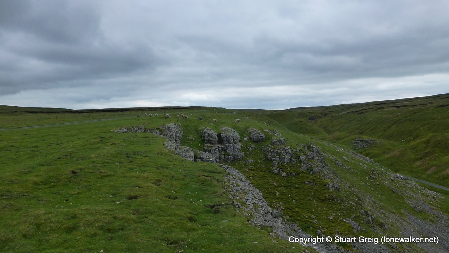
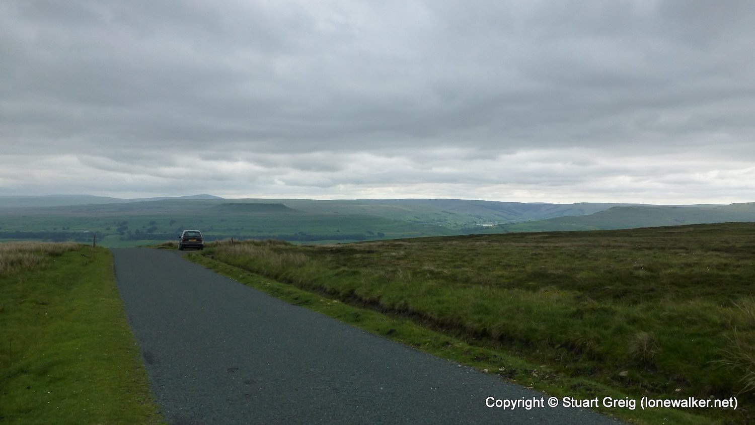
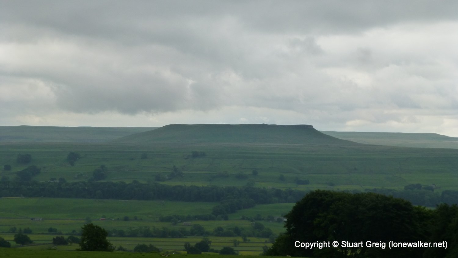
Route Description: Muker, Rampsholme Bridge, West Arn Gill, Swinner Gill, back down to West Arn Gill, Ramps Holme, Ivelet Bridge, Oxnop Bridge, Spout Gill, Satron Moor, Askrigg Common via road, Askrigg
Parking Grid Ref:
View Parking space in: OS Map or Google Street View
Walking with:
Long Distance Path: Tributaries Walk
Link to full Walk Report: https://lonewalker.net/tributaries-walk-day-2/
Download GPX file for this walk:
If your browser opens the file directly, right click and "Save As.."
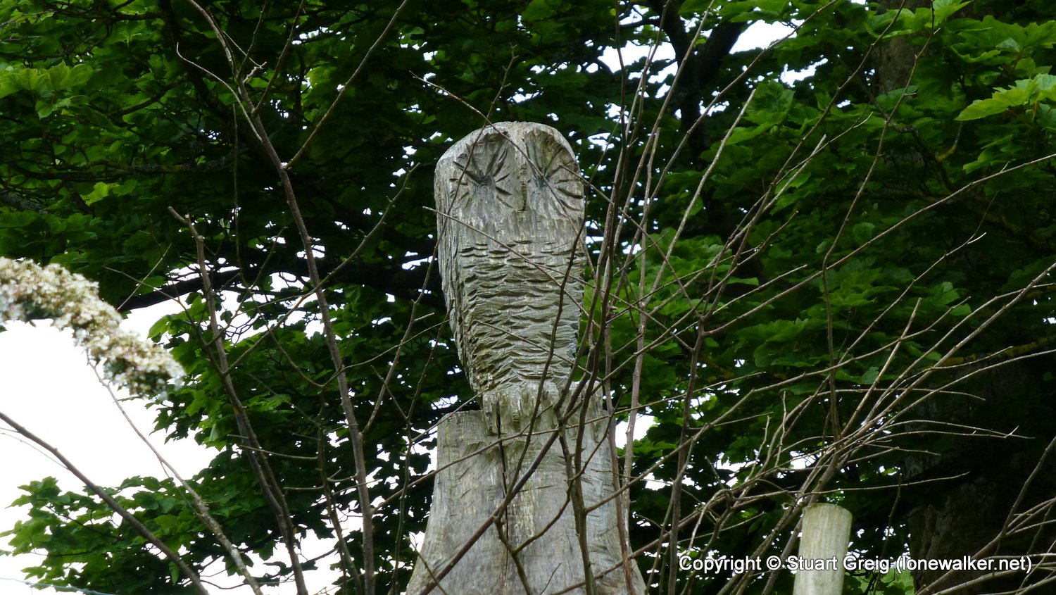
Click any image to open the full screen photo gallery
Walk Name: Garsdale Head to Muker
Date: 2018-06-02
Distance: 13.6 mls, 21.89 km
Height Gain: 2100 ft, 640.1 m
Walk Name: Scar House Reservoir
Date: 2018-07-06
Distance: 7.8 mls, 12.55 km
Height Gain: 700 ft, 213.4 m