
Date: 2018-07-22
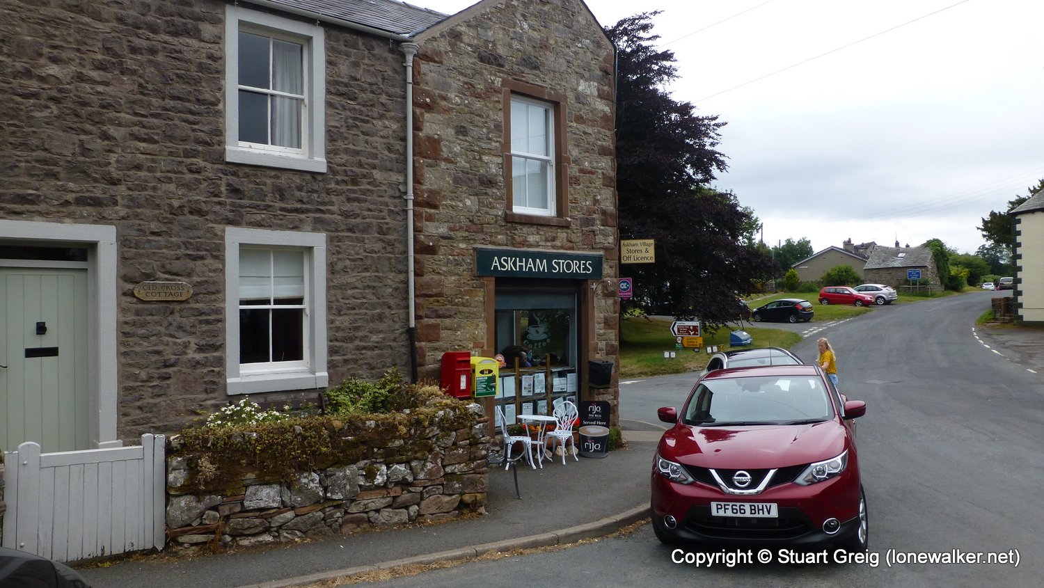
Start: Shap Finish: Askham
Distance: 8.8 mls, 14.16 km
Height Gain: 700 ft, 213.4 m
Start Time: 07:35 End Time: 11:15
Duration: 03:40
Ave Speed: 2.4 mph
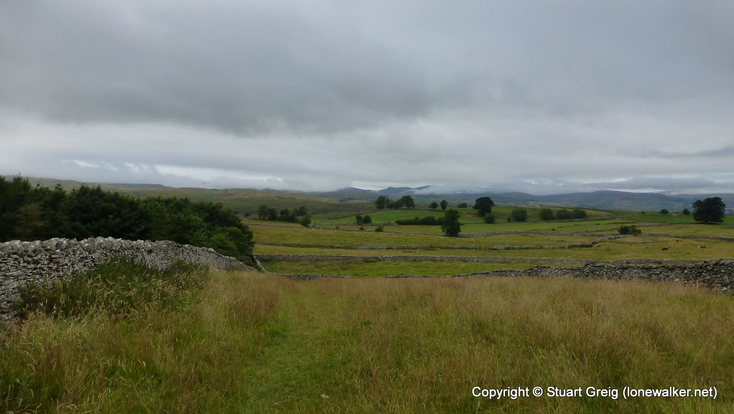
Region: Lake District
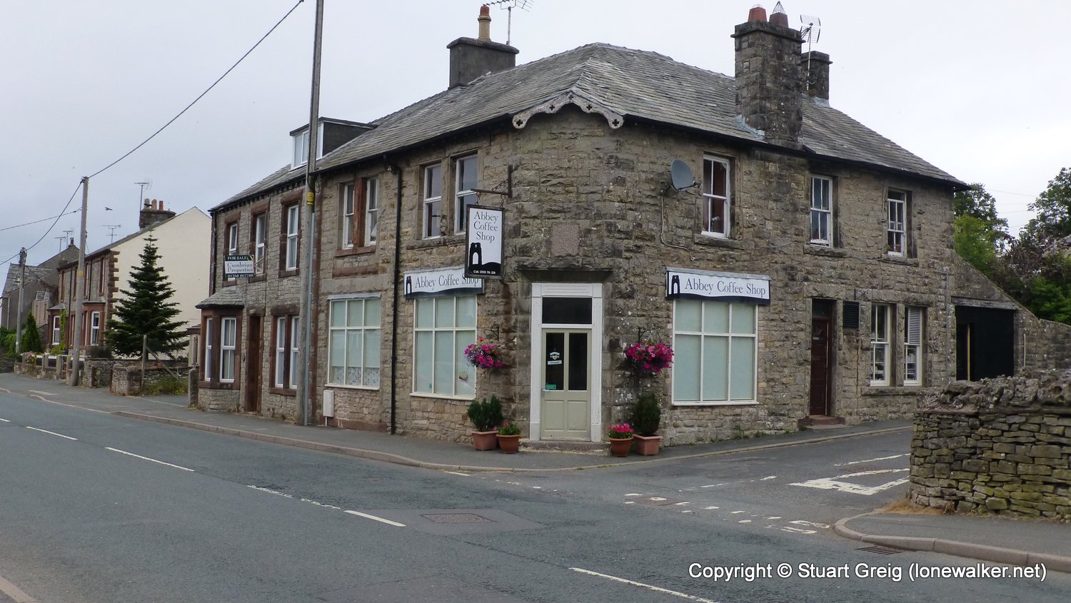
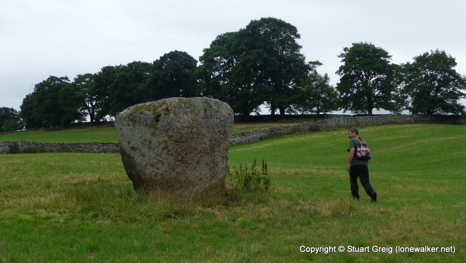
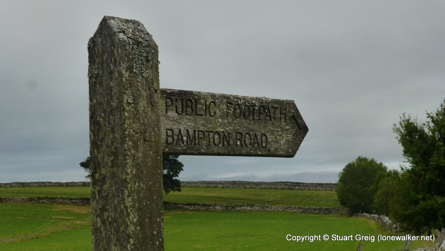
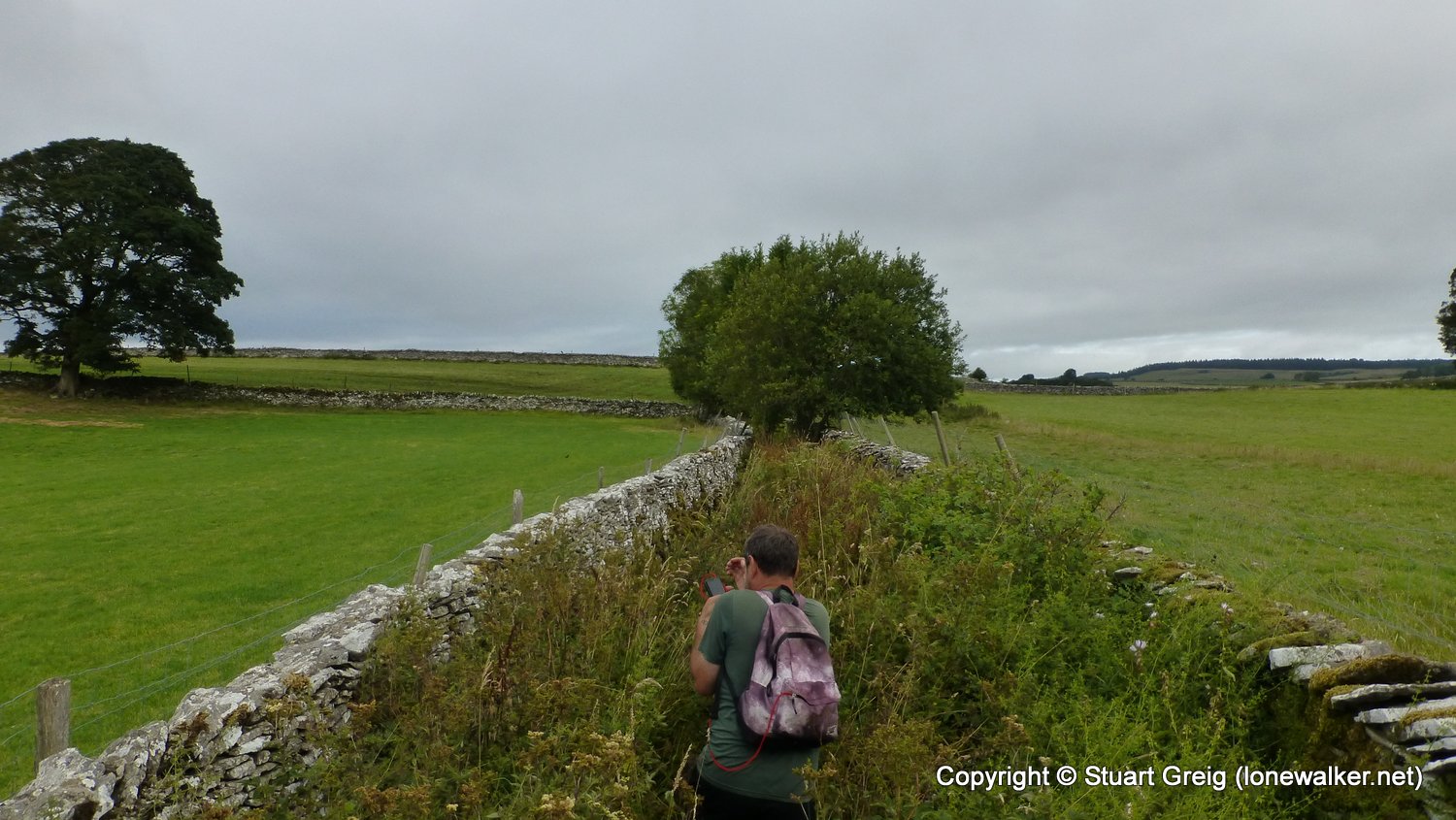
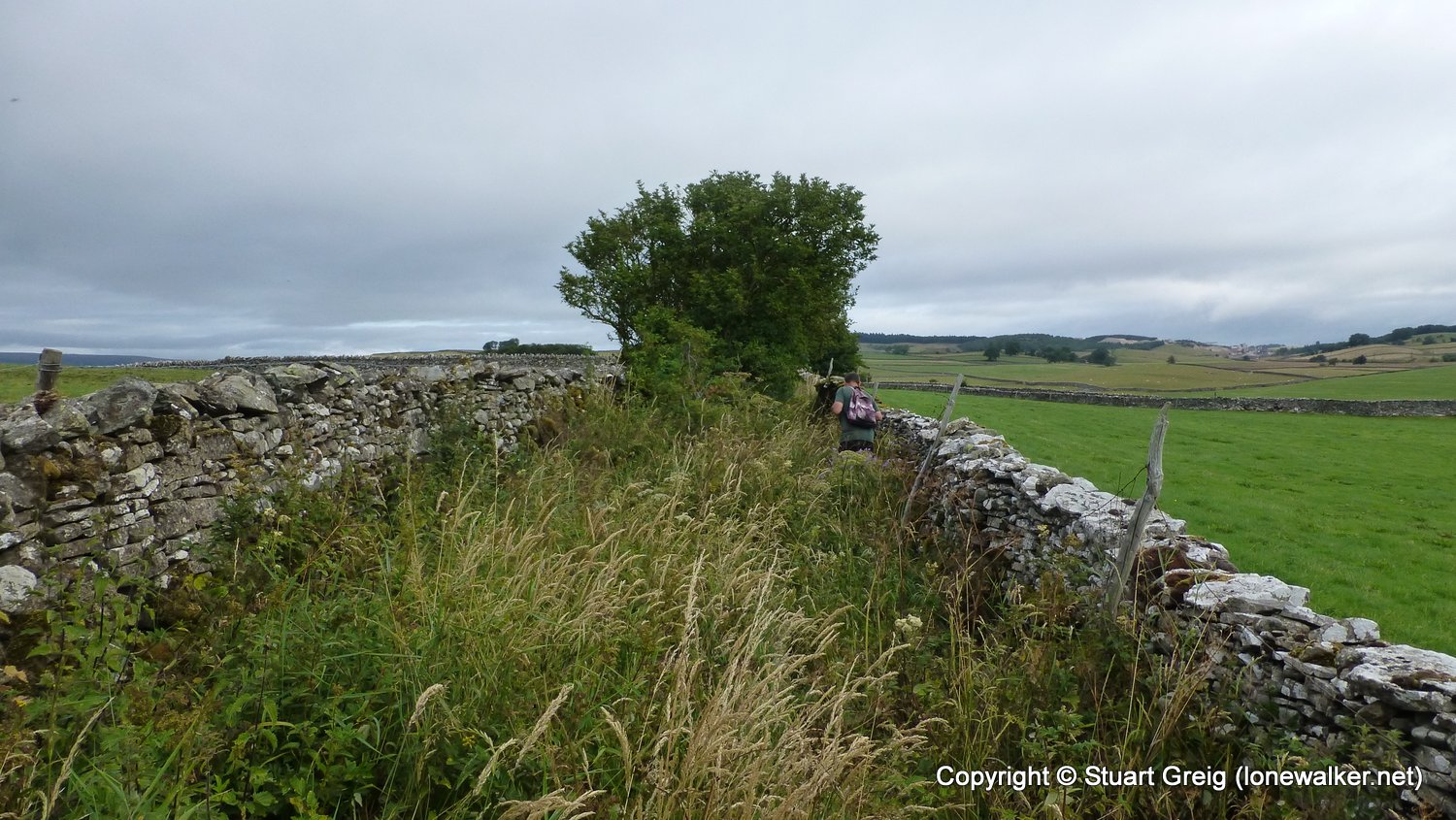
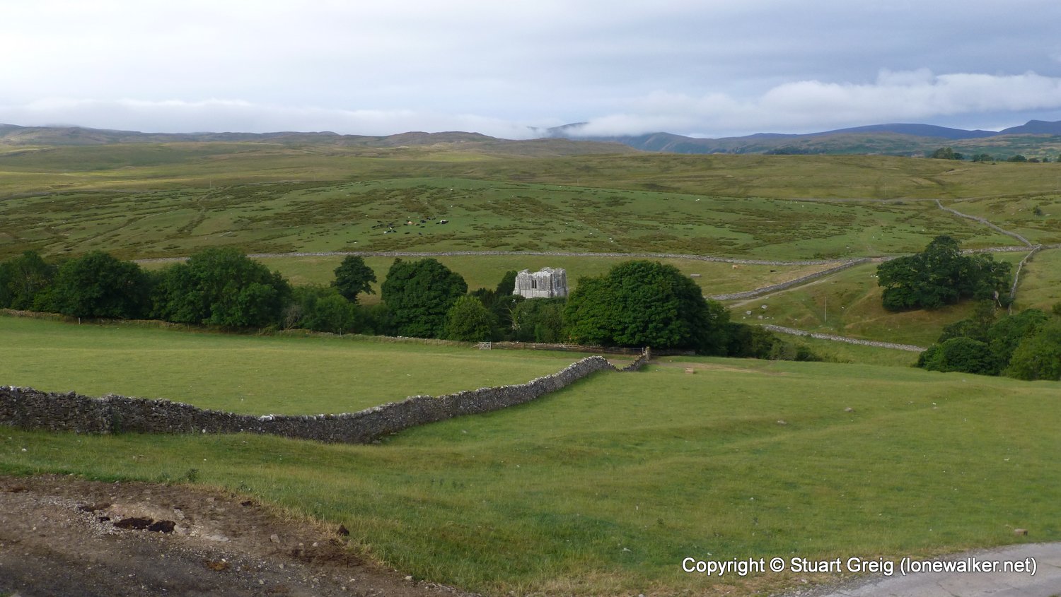
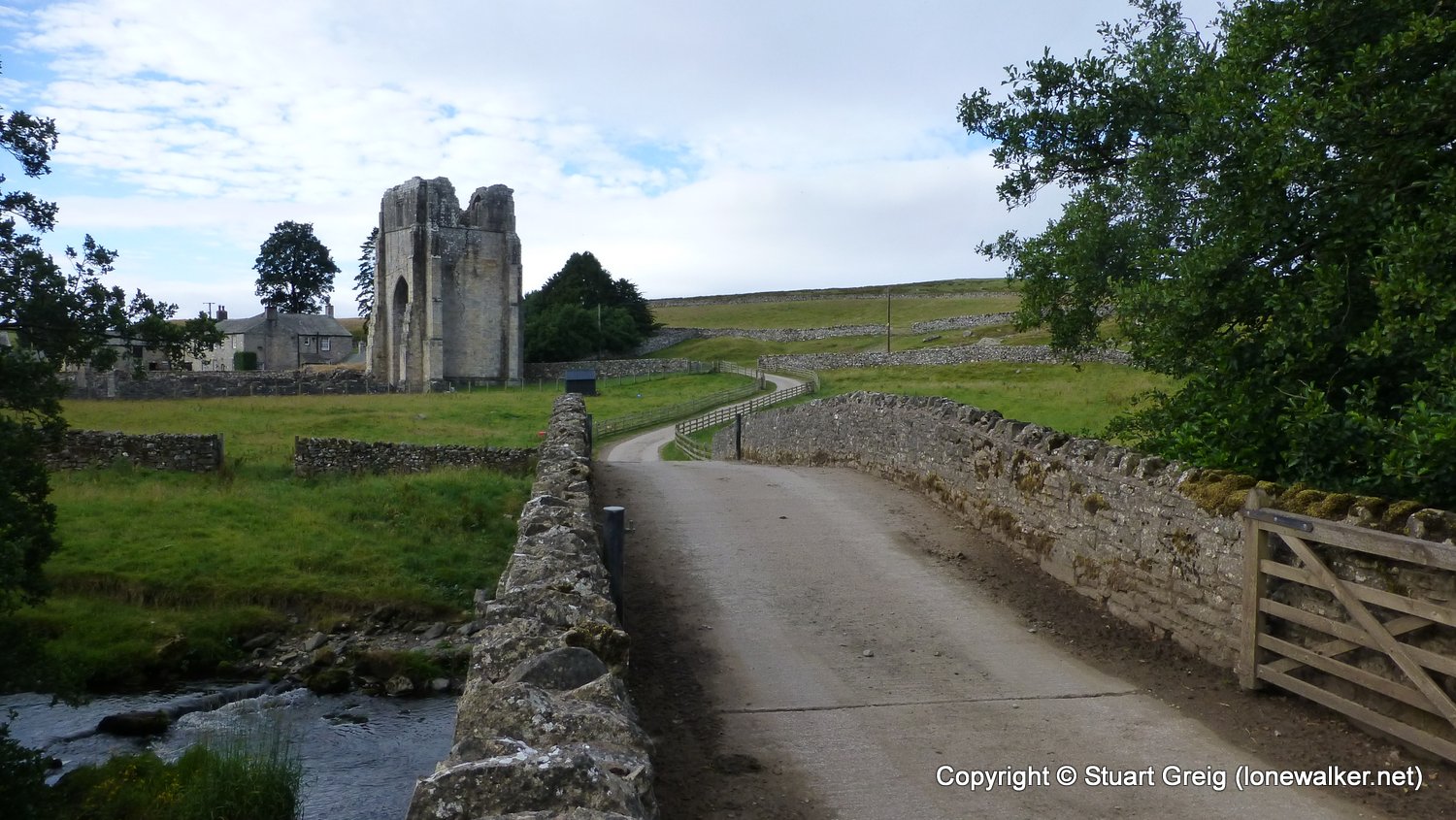
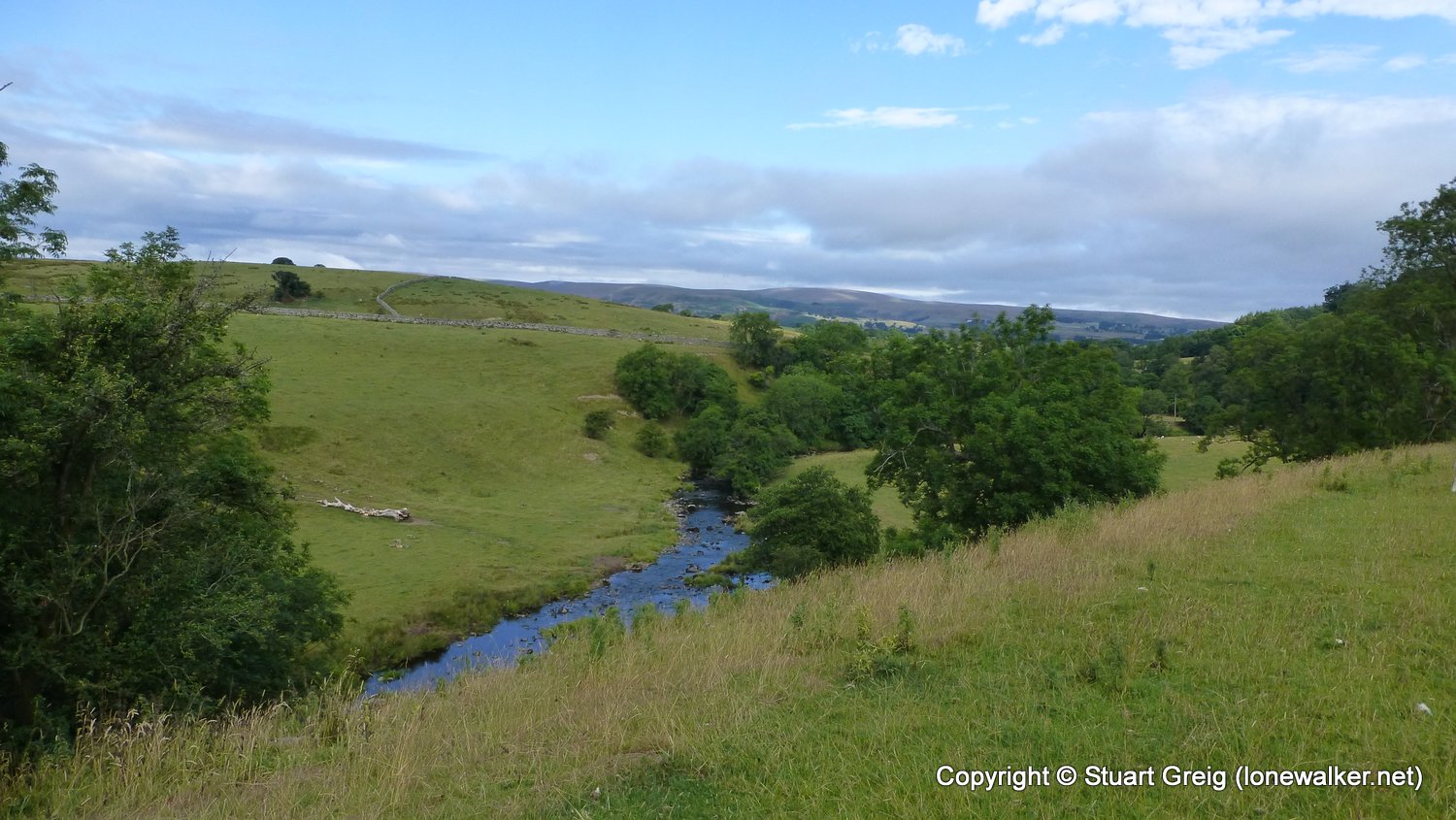
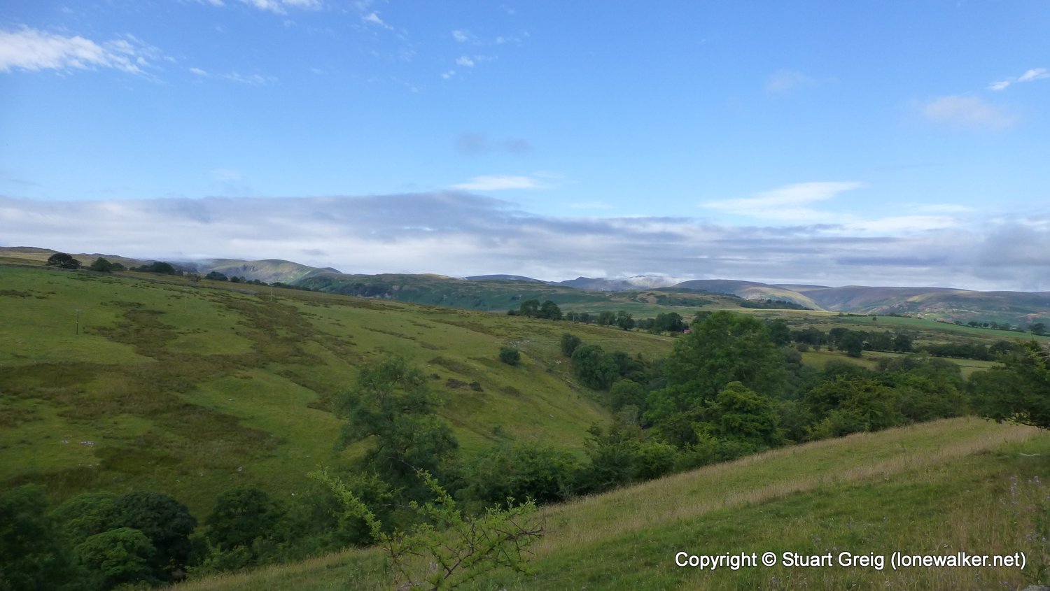
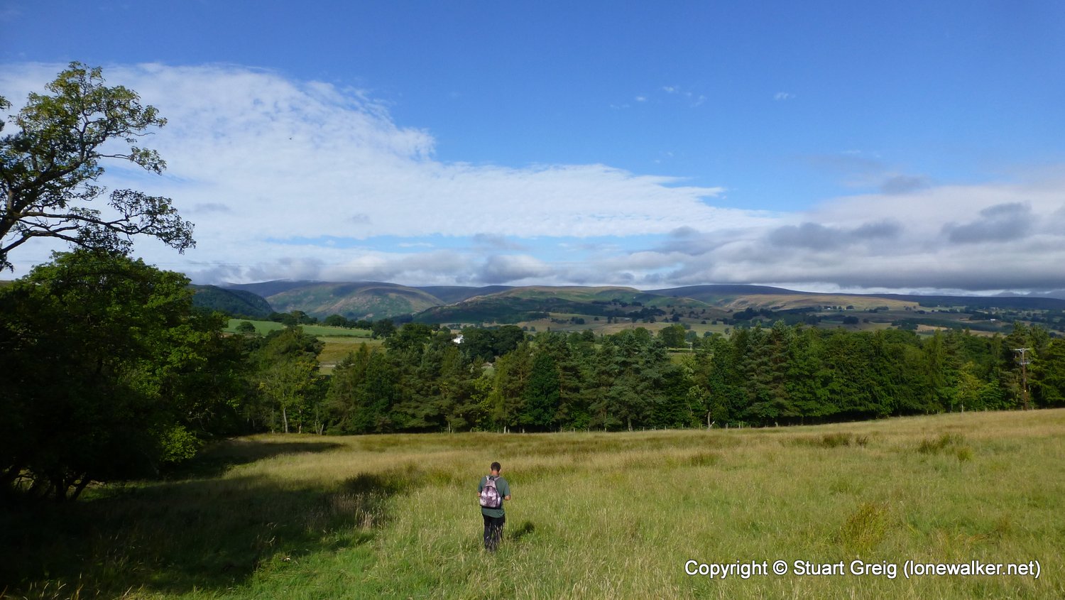
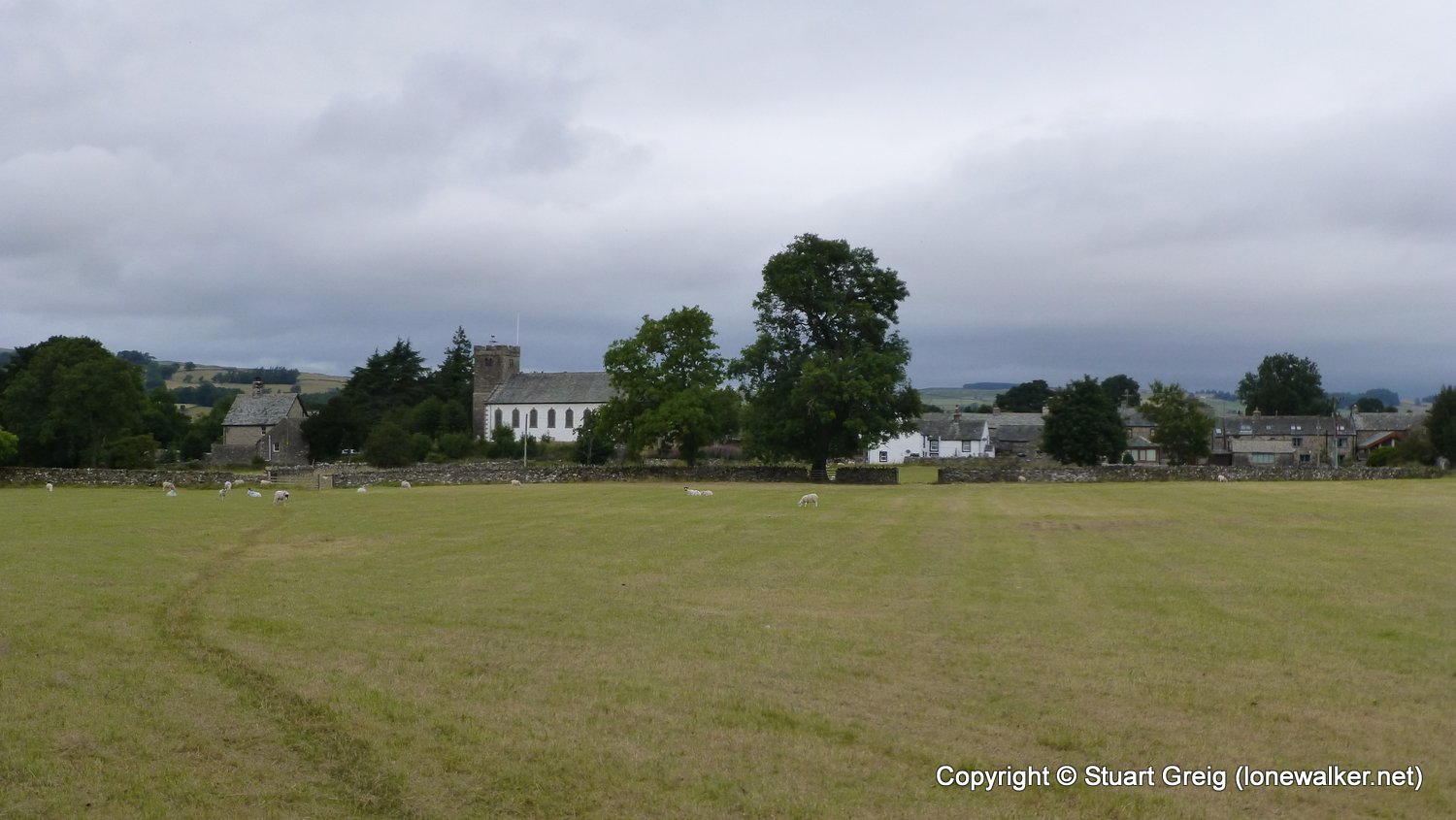
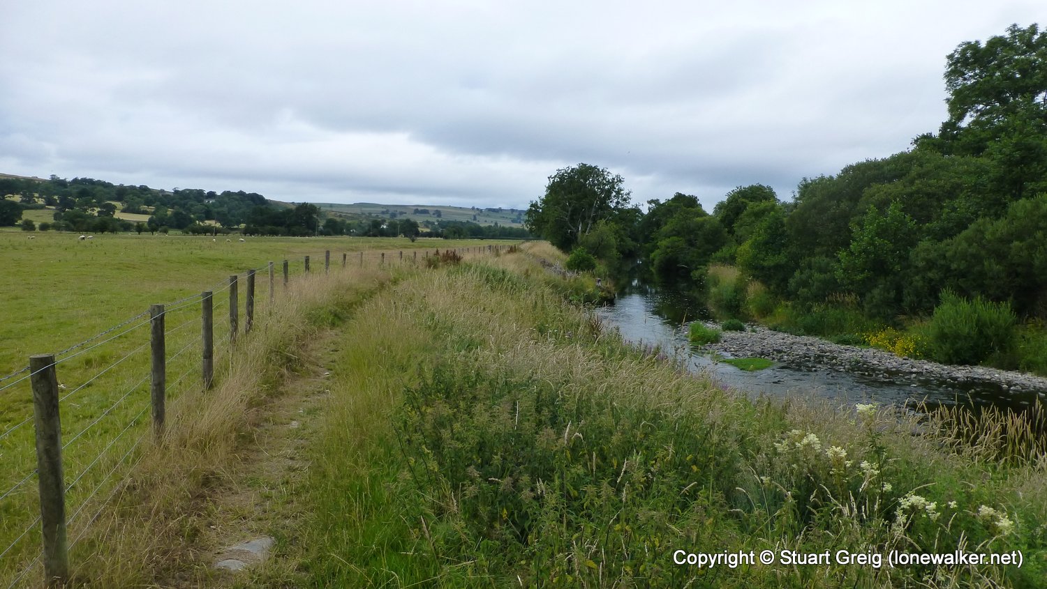
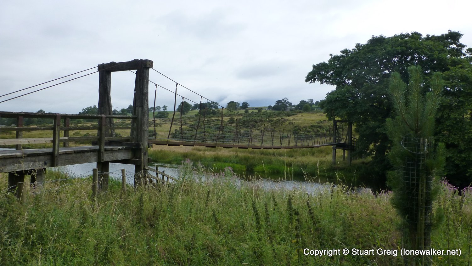
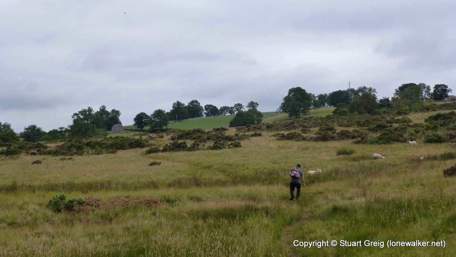
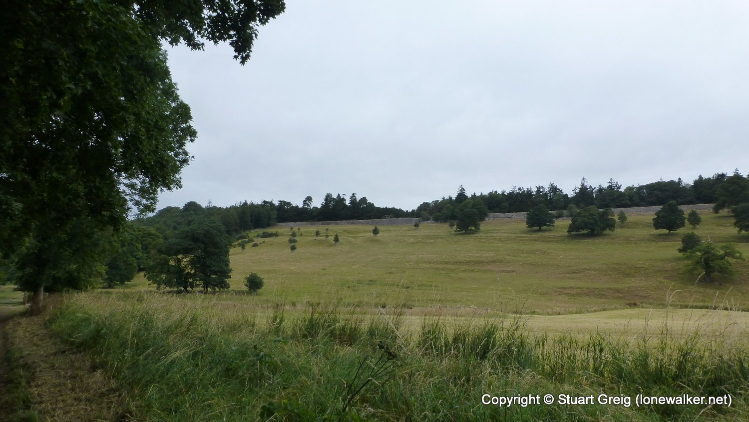
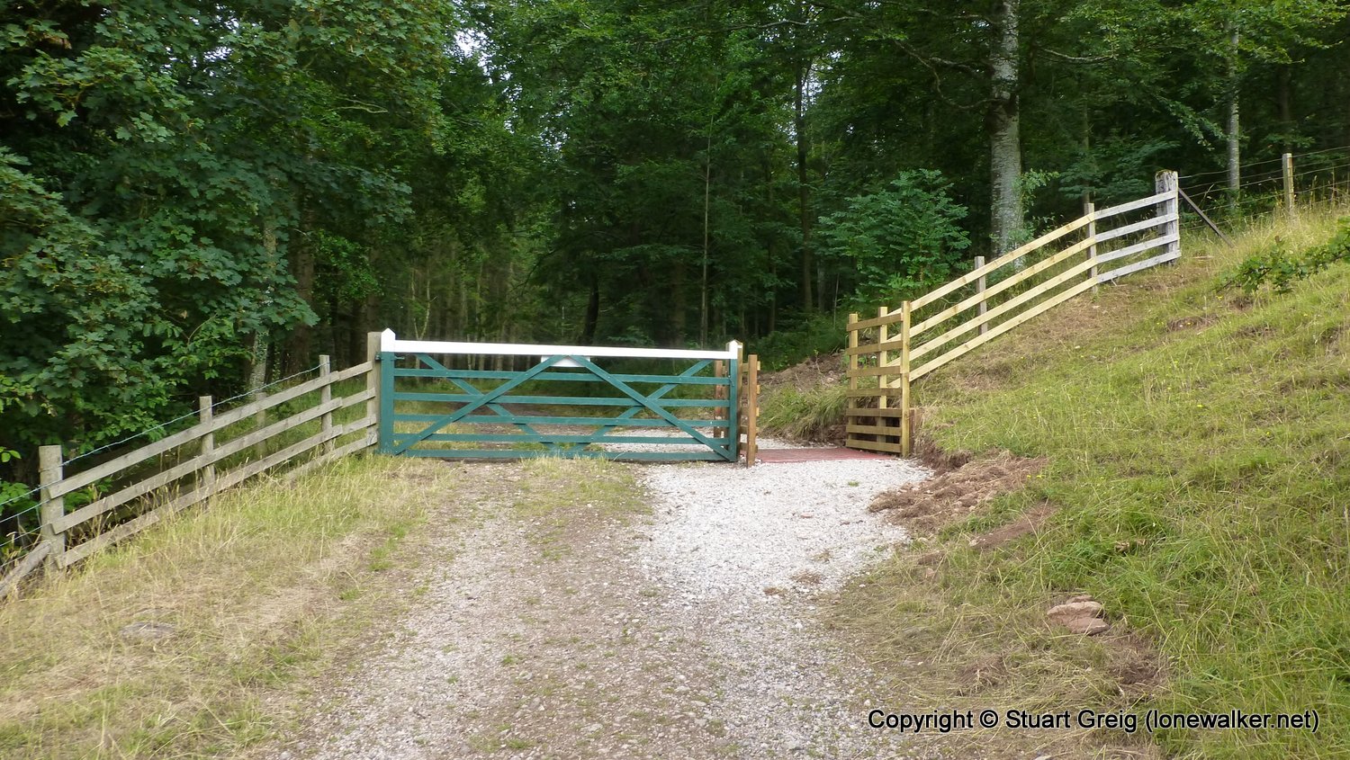
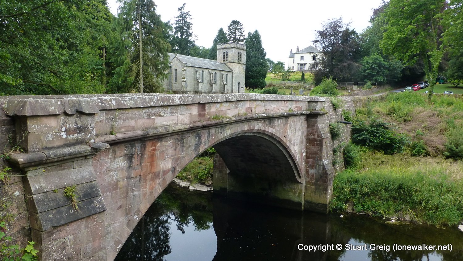
Route Description: Shap, Goggleby Stone, Shap Abbey, Rosgill, Bampton Grange, Knipe Moor, Whale, Low Deer Park Plantation, Askham Bridge, Askham
Parking Grid Ref: NY 56291 15183
View Parking space in: OS Map or Google Street View
Walking with: Chris Pilgrim
Long Distance Path: Westmorland Way
Click any image to open the full screen photo gallery
Walk Name: Great Ormside to Shap
Date: 2018-07-21
Distance: 14.3 mls, 23.01 km
Height Gain: 1900 ft, 579.1 m
Walk Name: Askham to Patterdale
Date: 2018-08-02
Distance: 14.8 mls, 23.82 km
Height Gain: 2200 ft, 670.6 m