
Date: 2018-08-02
Start: Askham Finish: Patterdale
Distance: 14.8 mls, 23.82 km
Height Gain: 2200 ft, 670.6 m
Start Time: 08:30 End Time: 16:00
Duration: 07:30
Ave Speed: 2.0 mph
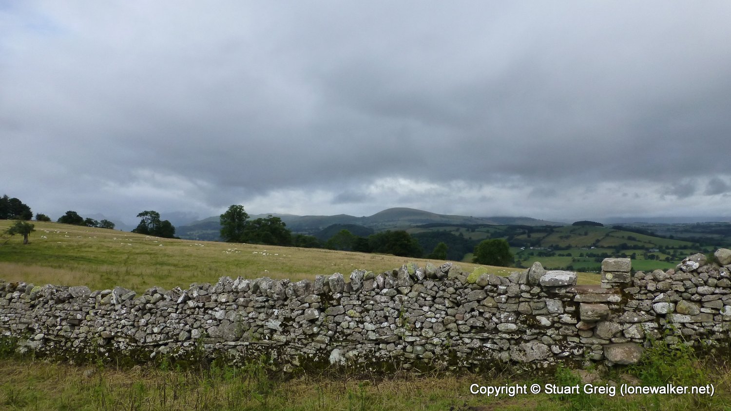
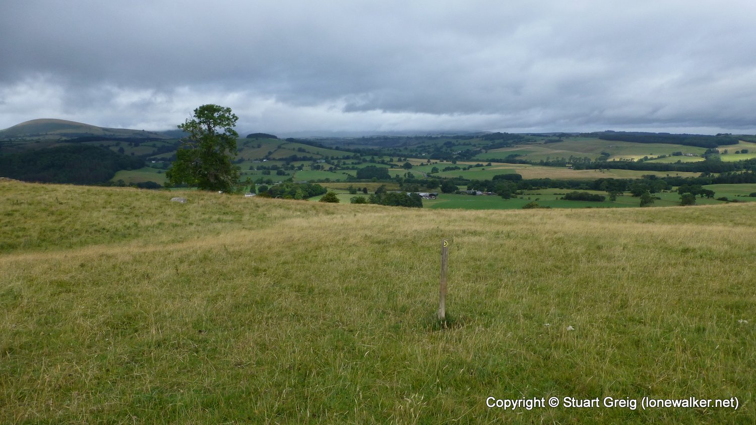
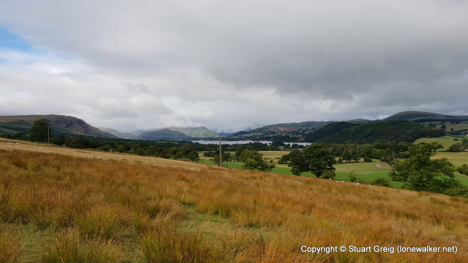
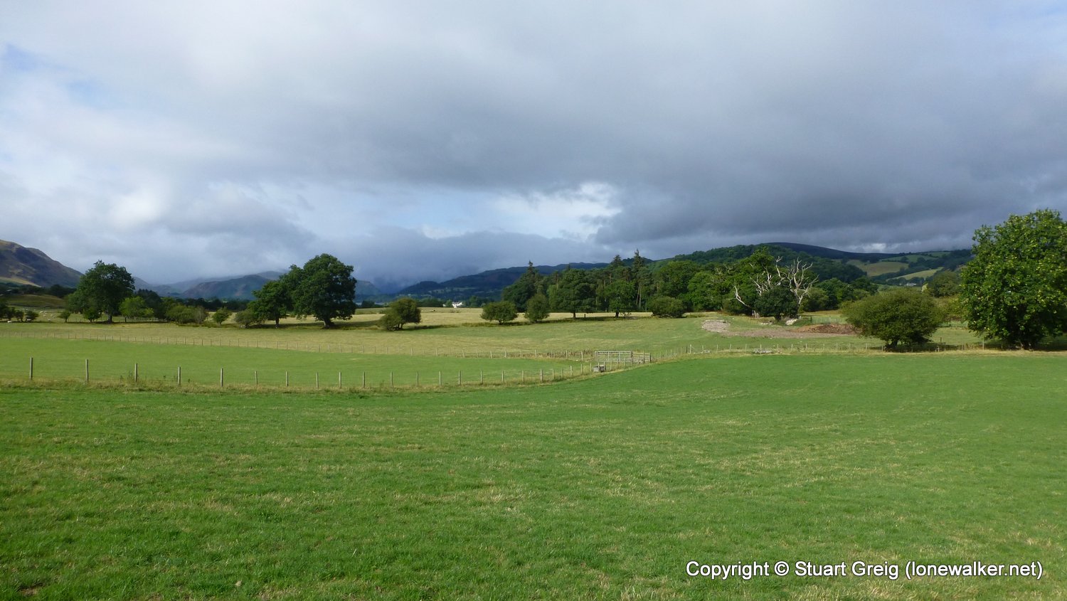
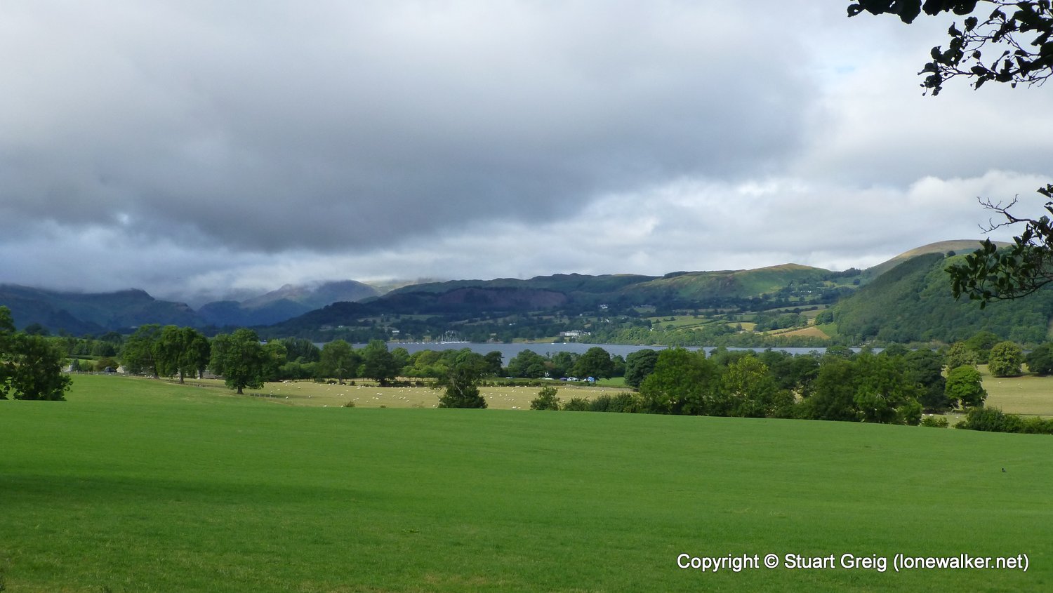
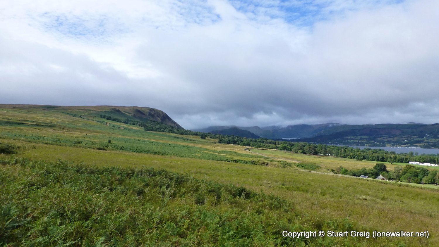
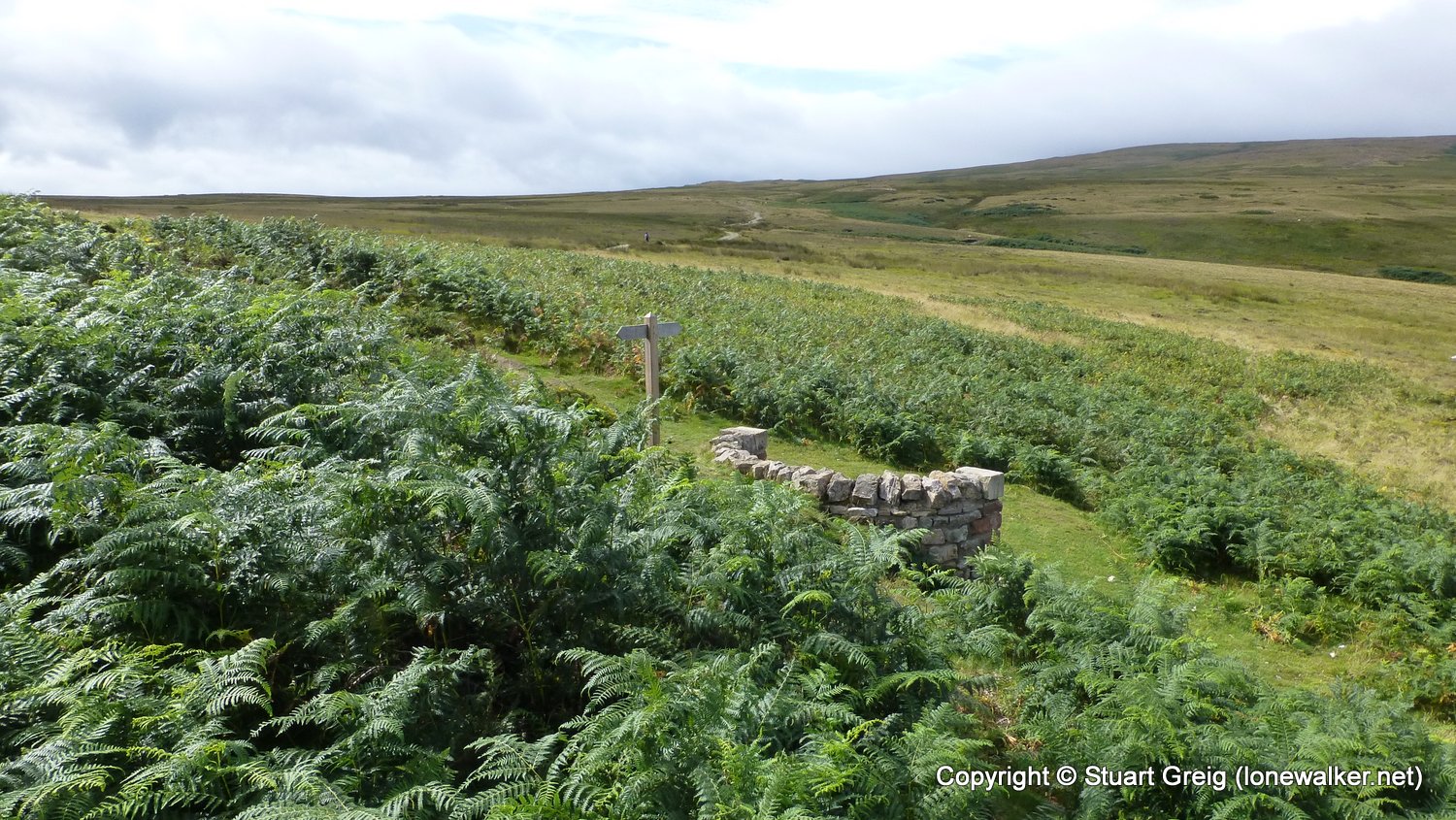
Region: Lake District
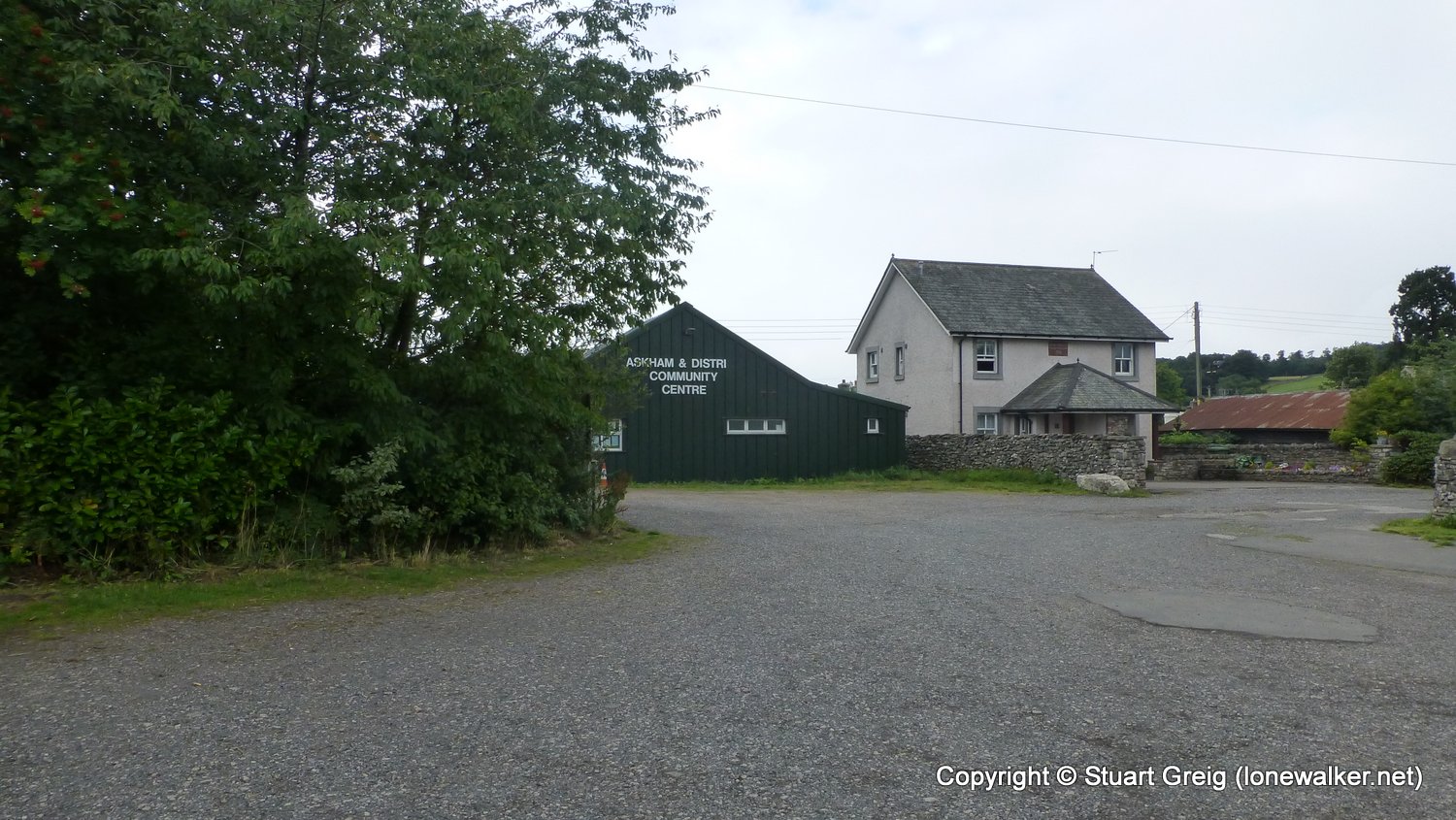
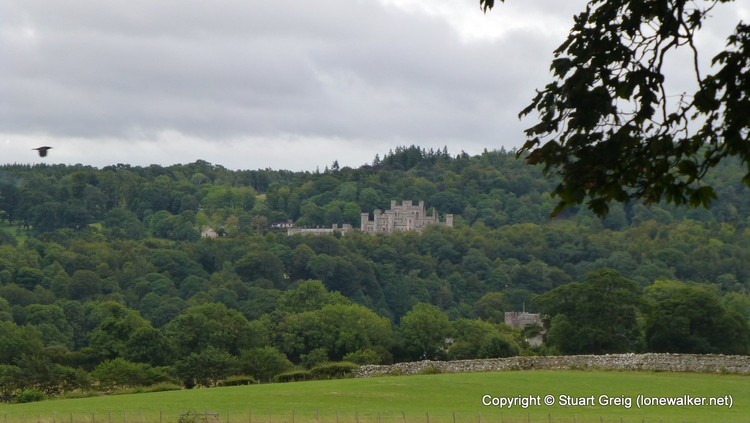
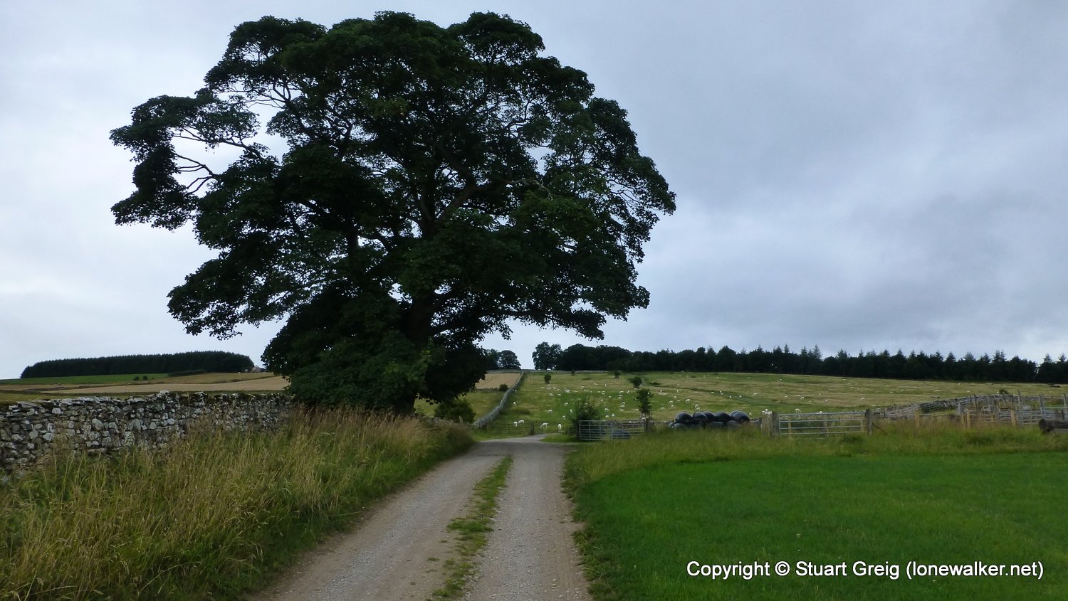
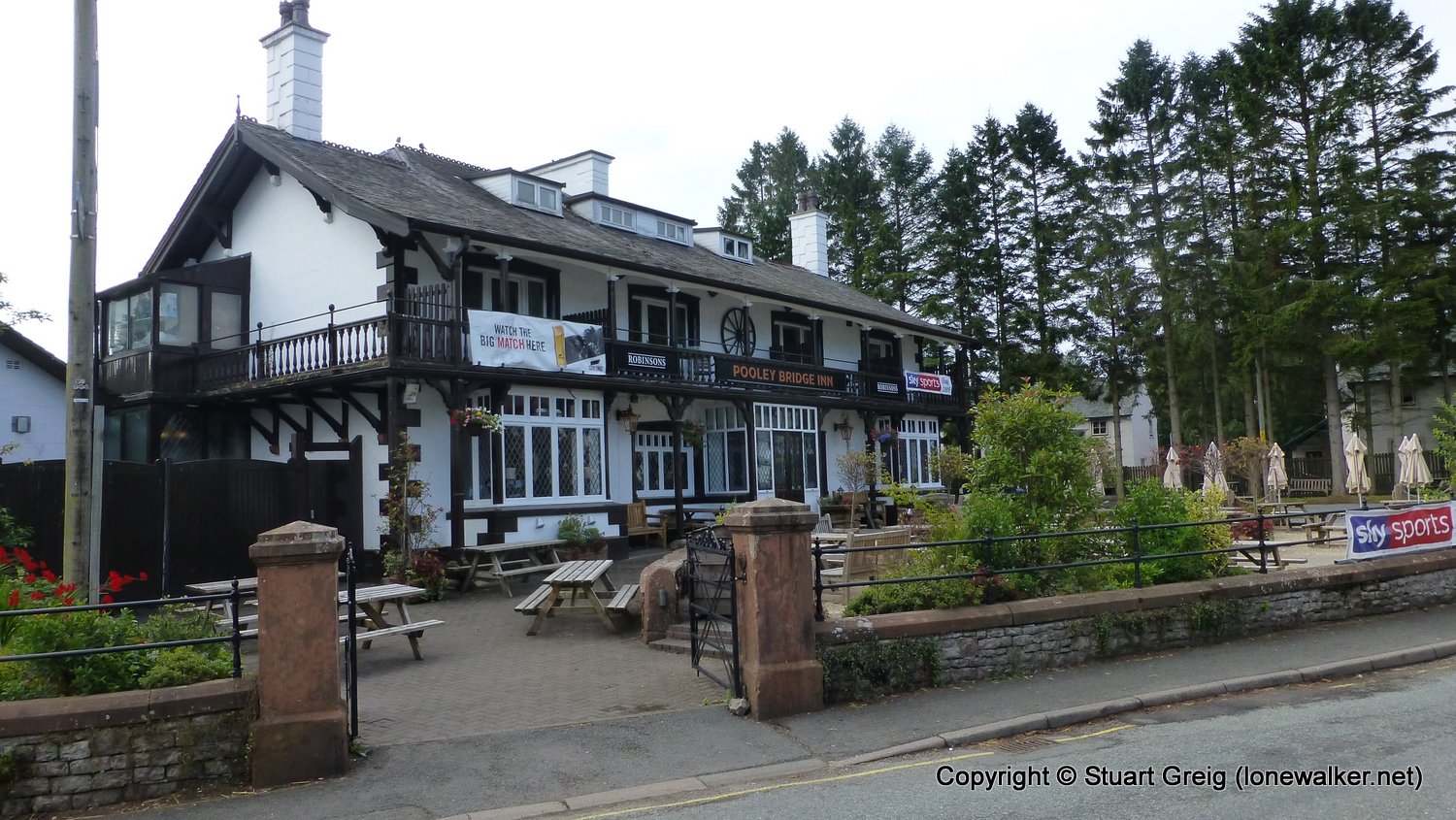
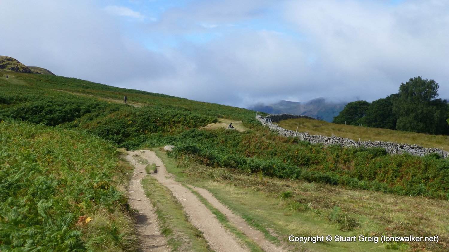
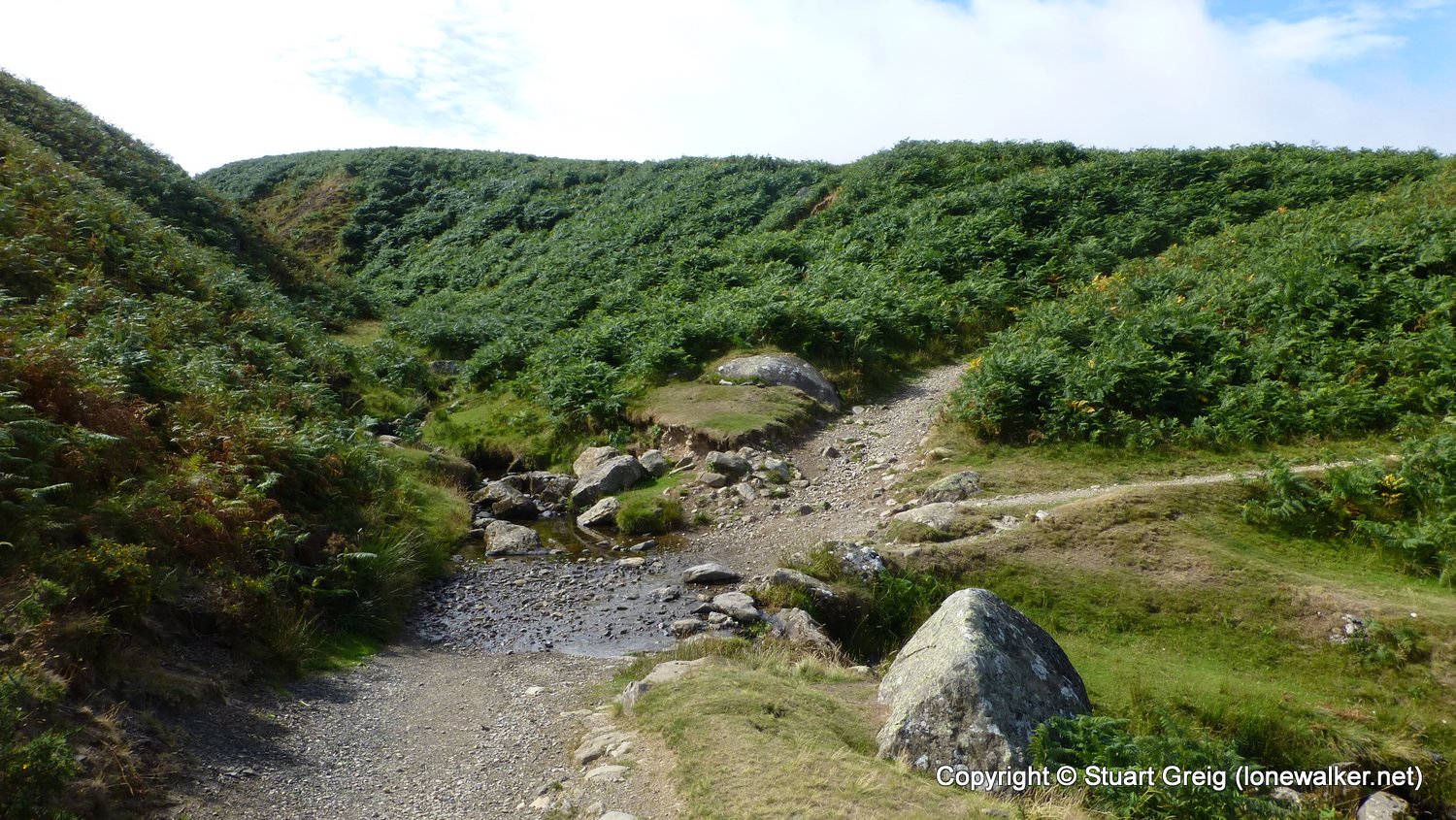
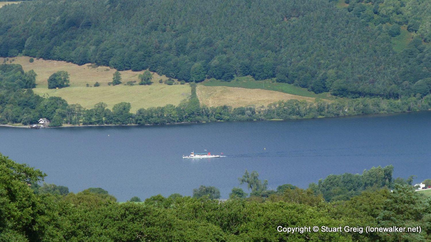
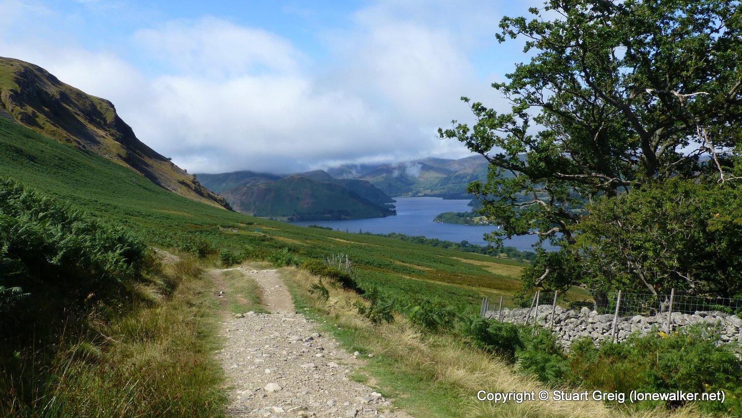
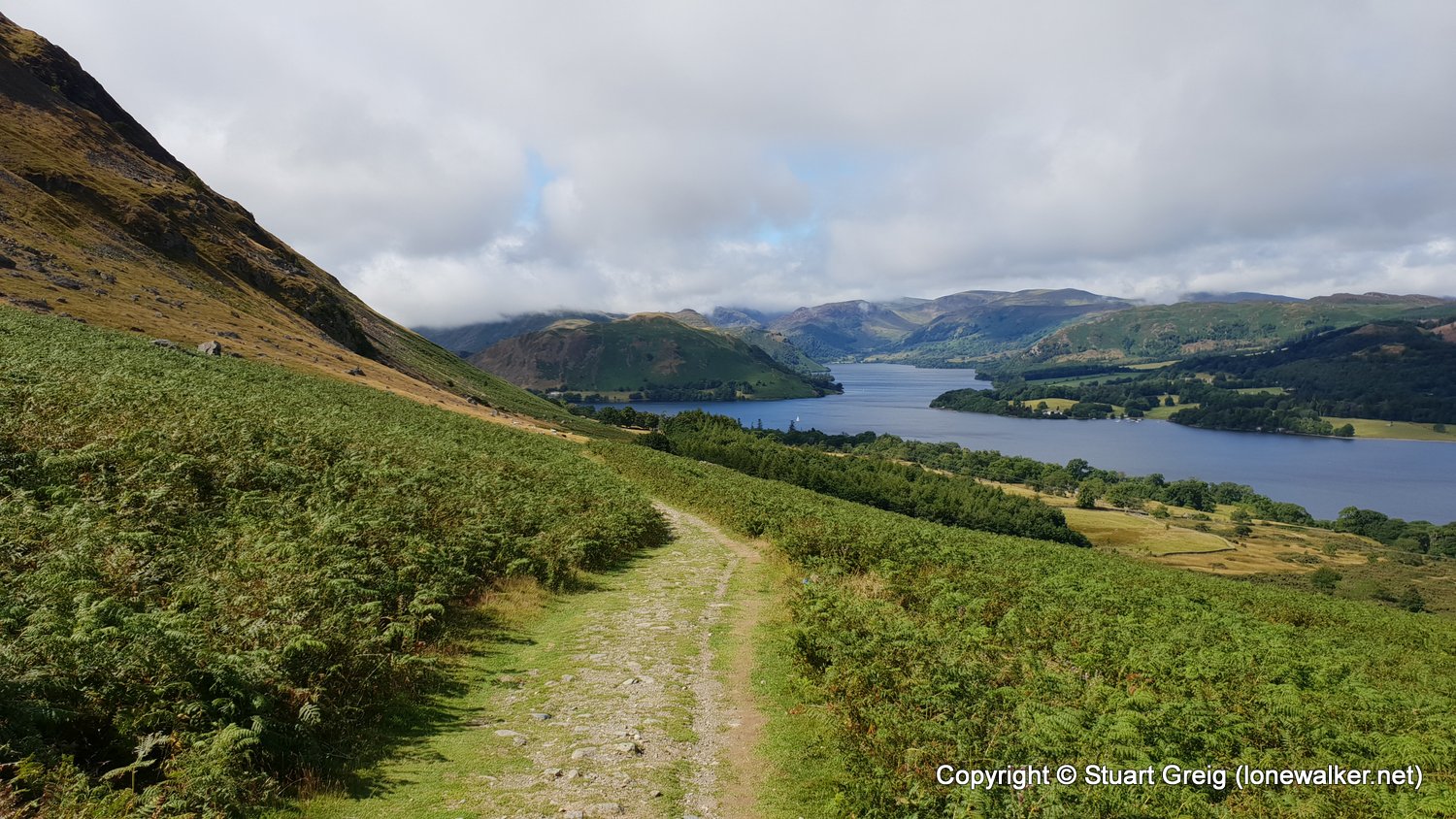
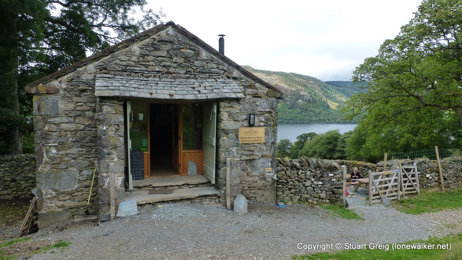
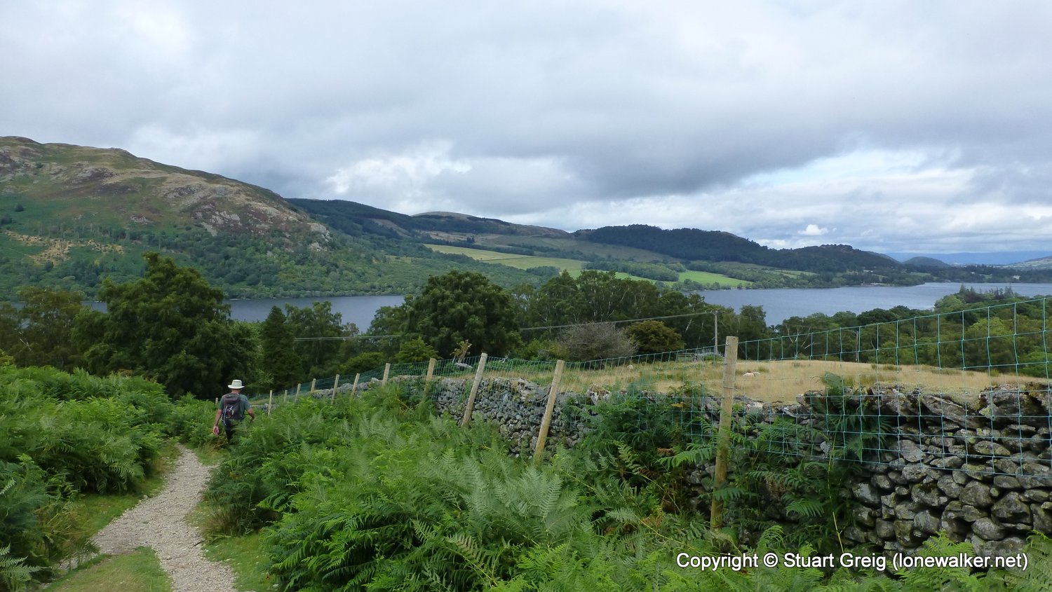
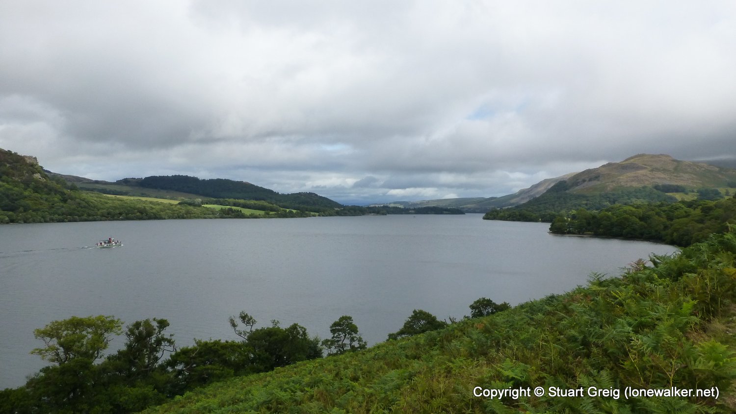
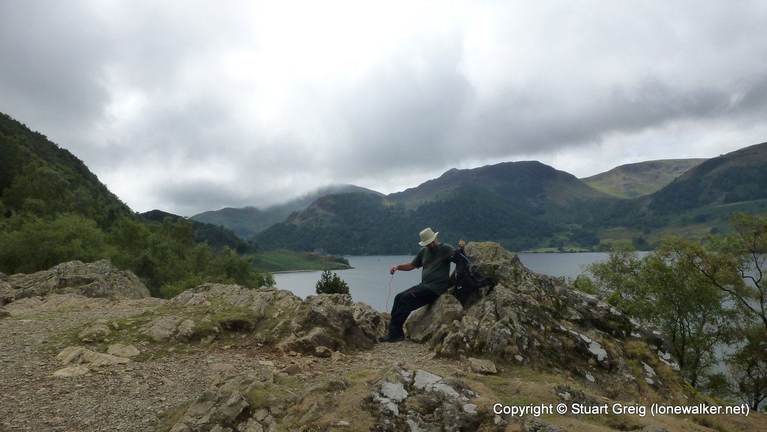
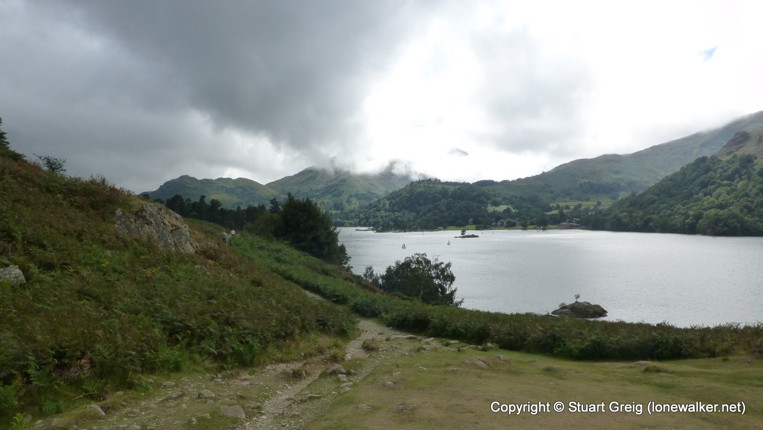
Route Description: Askham, Winder Hall Farm, Cracoe Close, Pooley Bridge, The Cockpit, Auterstone Wood, Howtown, Hause Farm, Sandwick, Silver Crag, Side Farm, Patterdale
Parking Grid Ref: NY 51290 23744
View Parking space in: OS Map or Google Street View
Walking with: Chris Pilgrim
Long Distance Path: Westmorland Way
Click any image to open the full screen photo gallery

Walk Name: Shap to Askham
Date: 2018-07-22
Distance: 8.8 mls, 14.16 km
Height Gain: 700 ft, 213.4 m
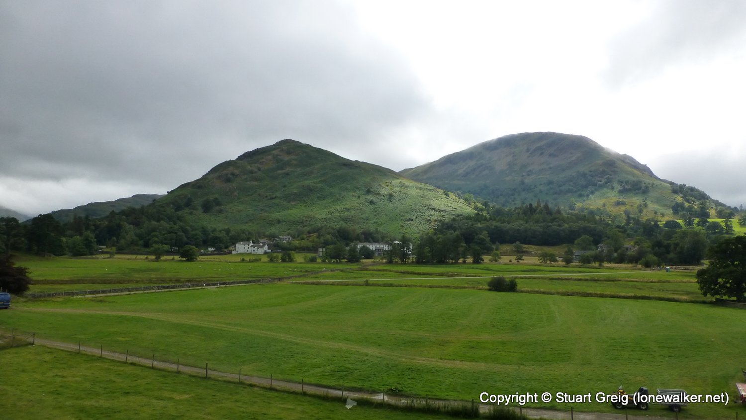
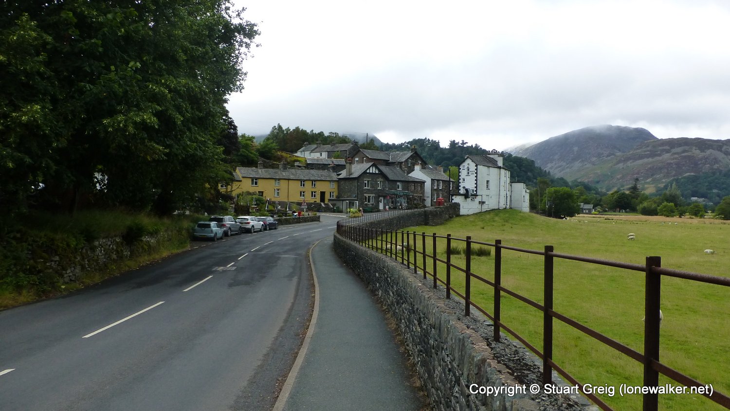
Walk Name: Patterdale to Grasmere
Date: 2018-08-03
Distance: 8.6 mls, 13.84 km
Height Gain: 1900 ft, 579.1 m