
Date: 2018-11-30
Start: Windermere Finish: Kendal
Distance: 12.5 mls, 20.12 km
Height Gain: 1700 ft, 518.2 m
Start Time: 09:30 End Time: 16:15
Duration: 06:45
Ave Speed: 1.8 mph
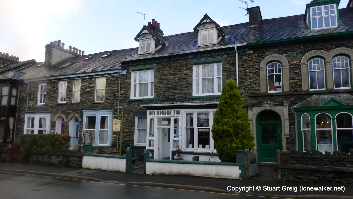
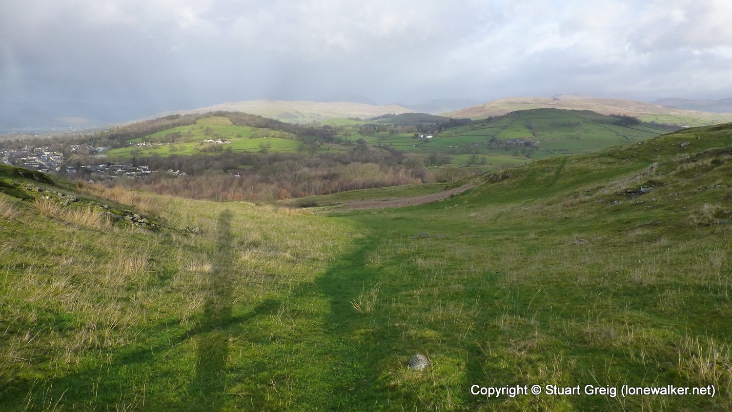
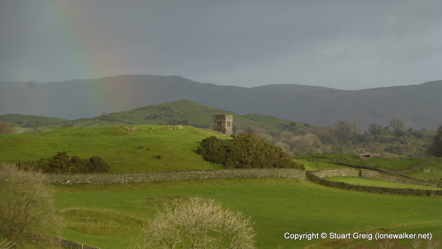
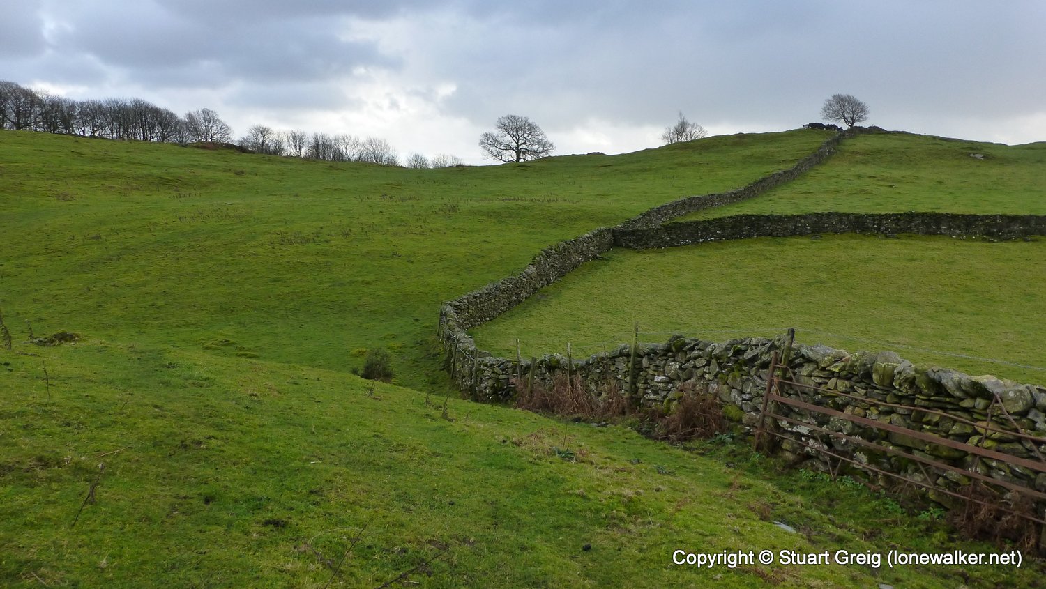
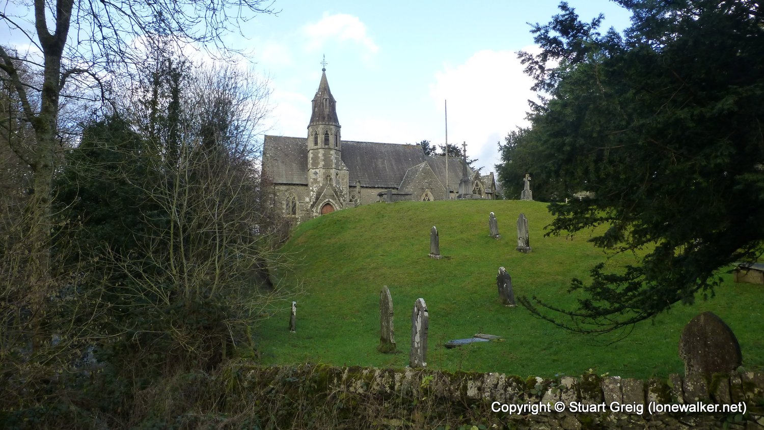
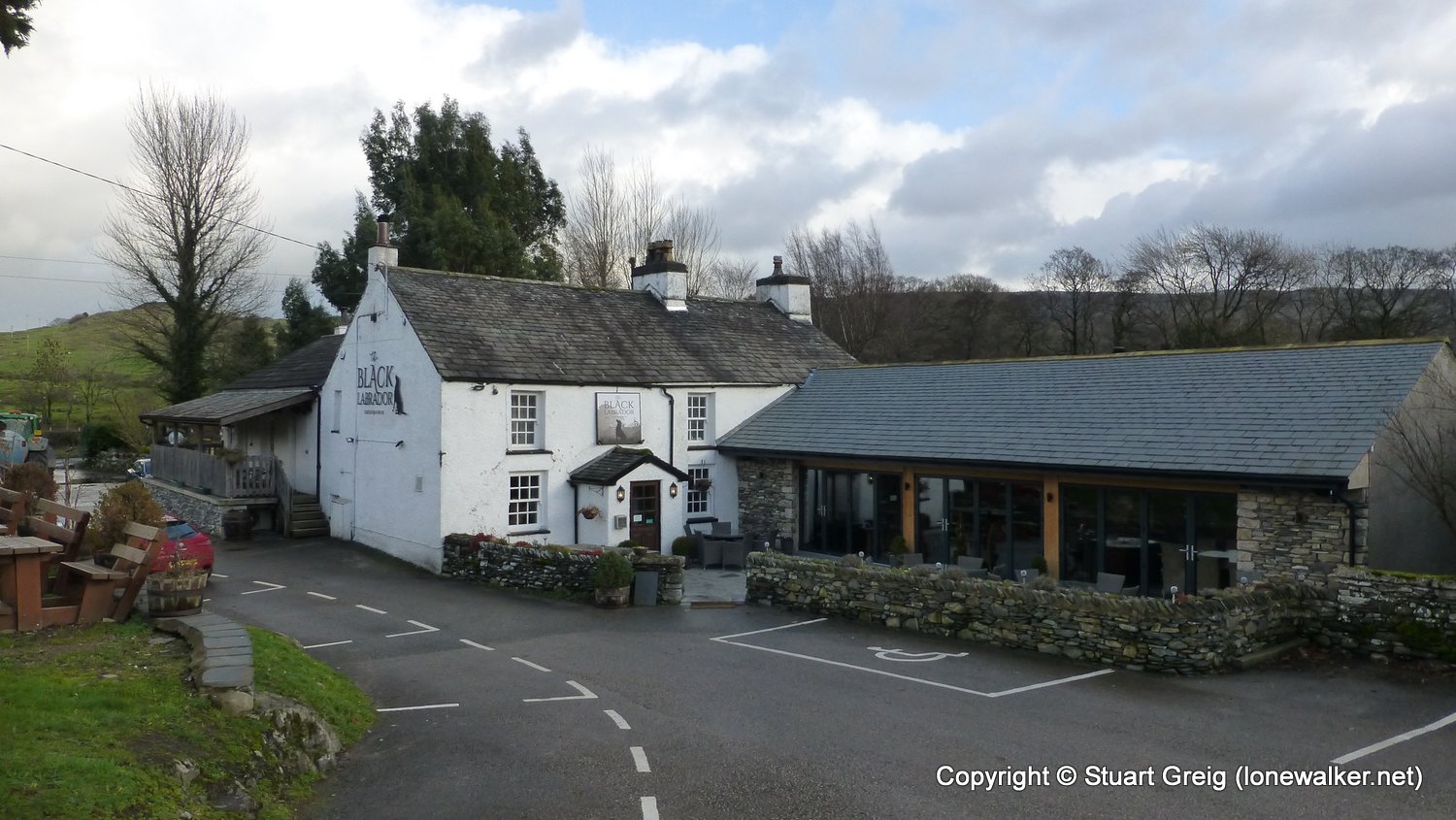
Region: Lake District
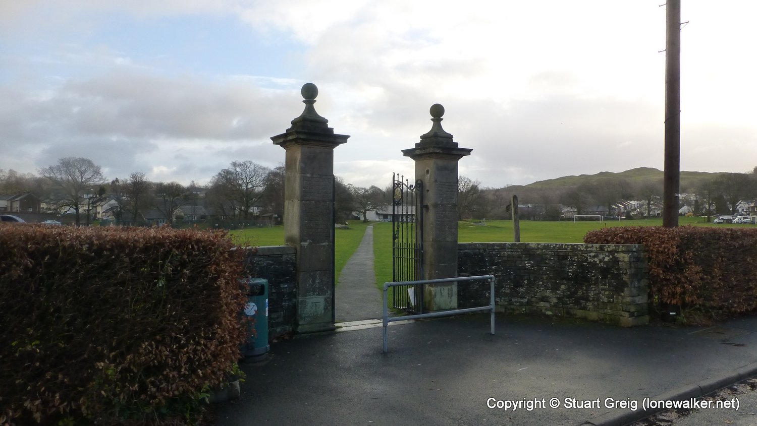
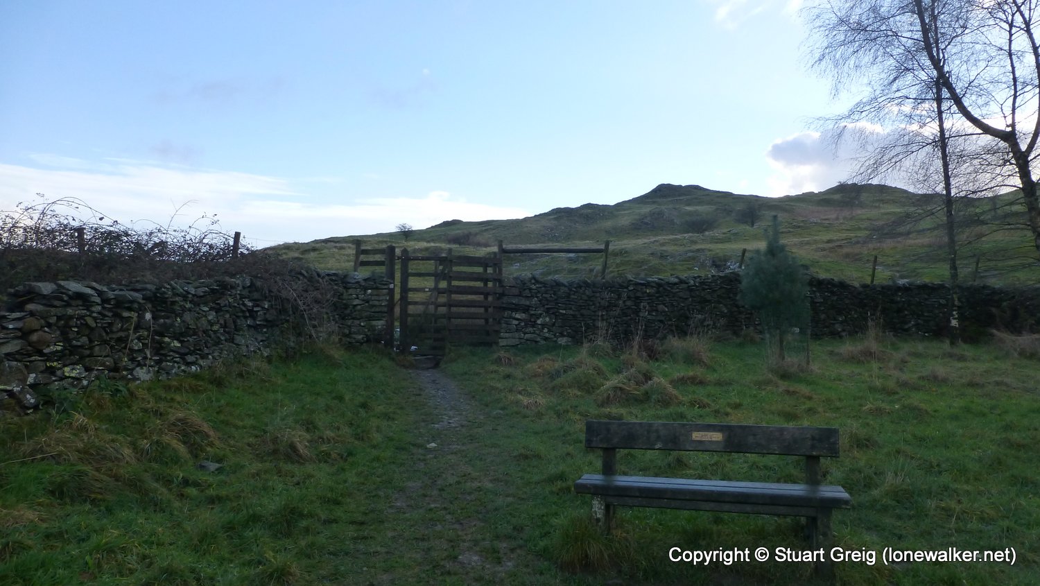
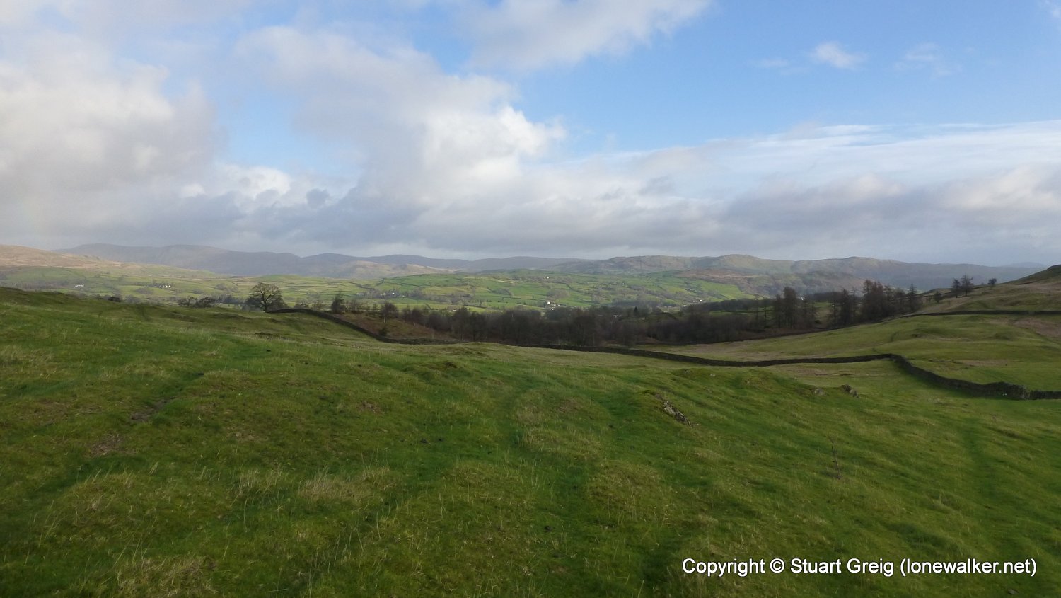
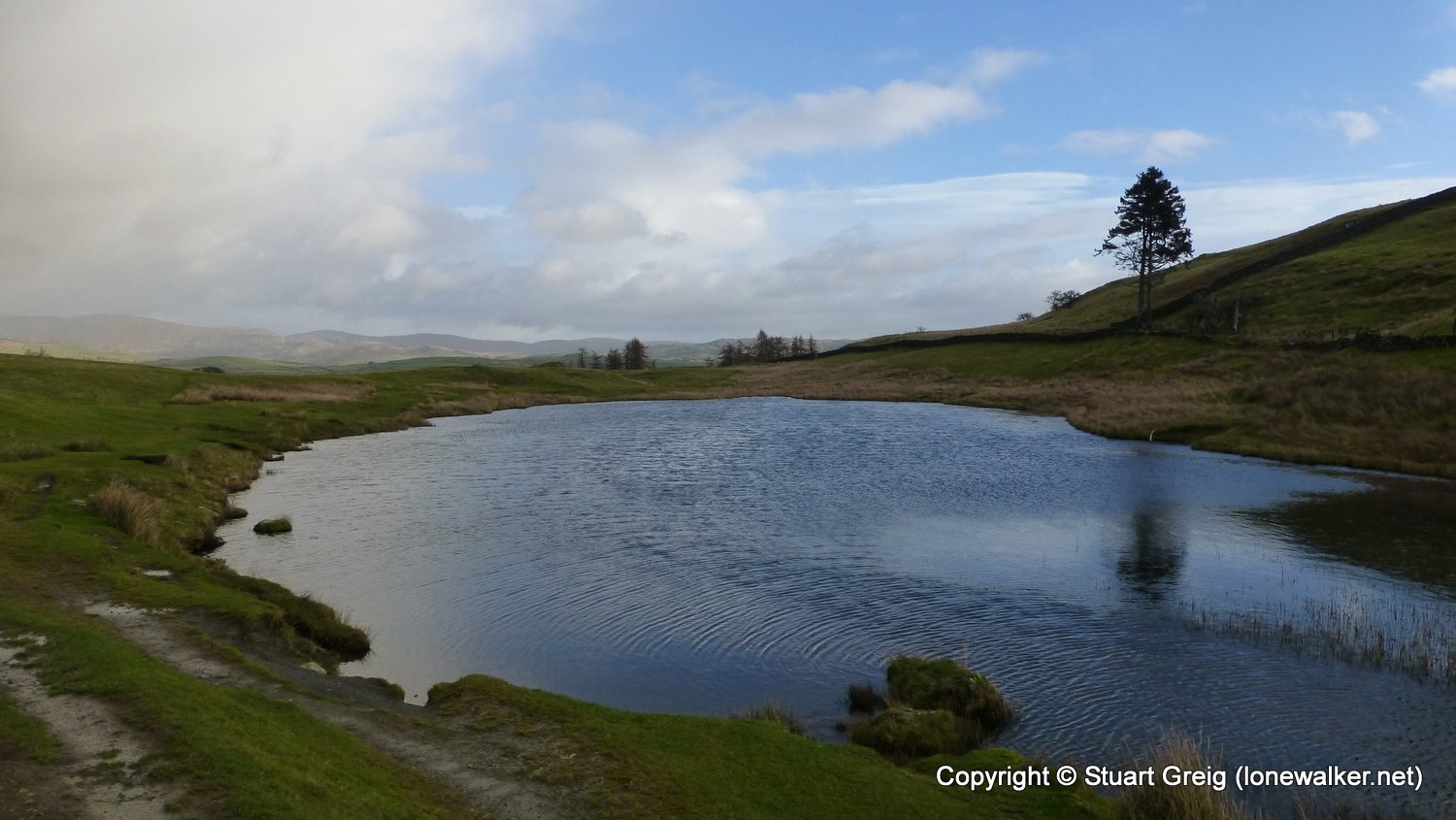
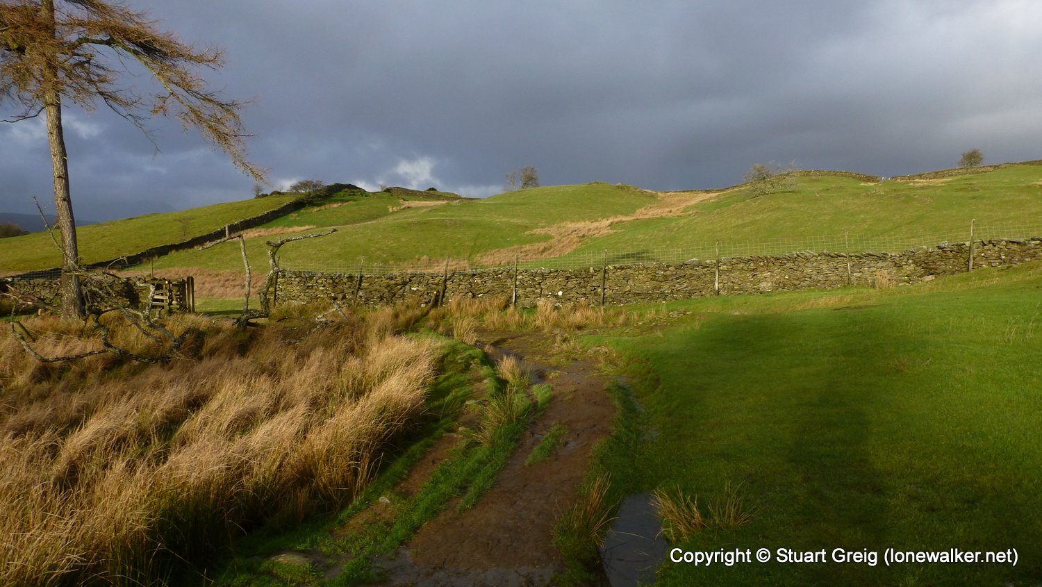
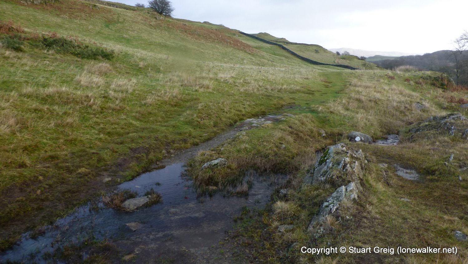
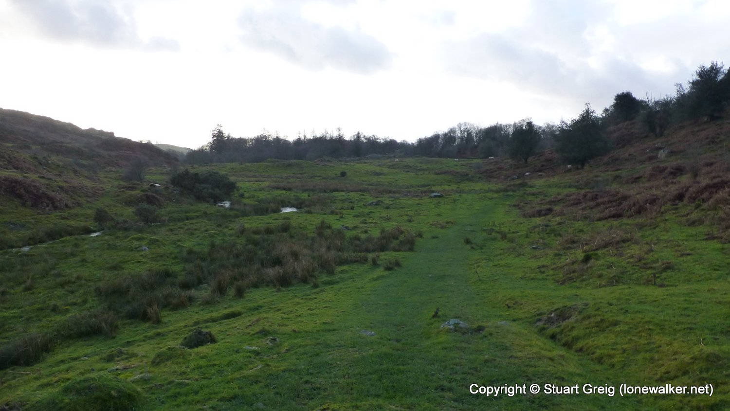
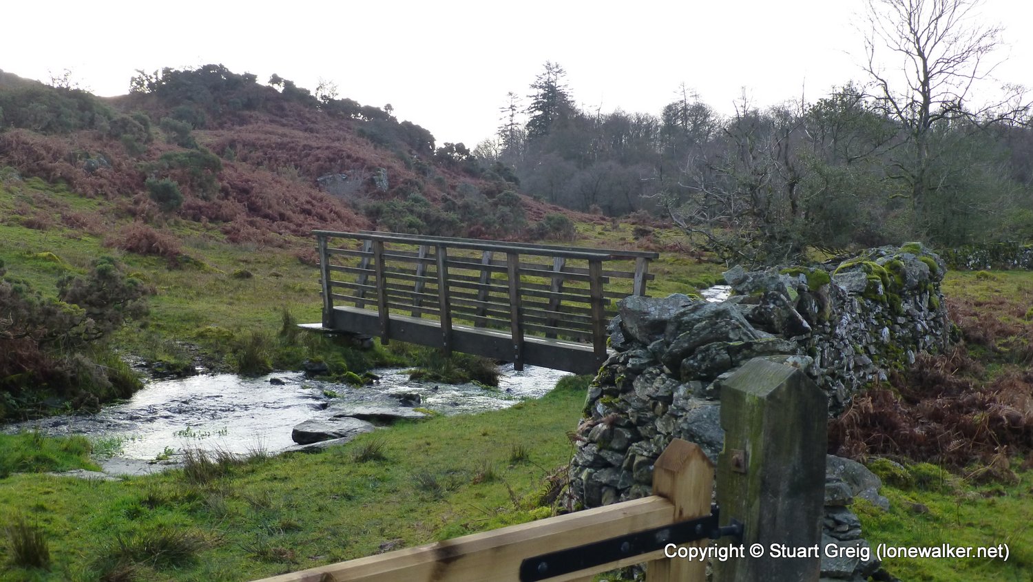
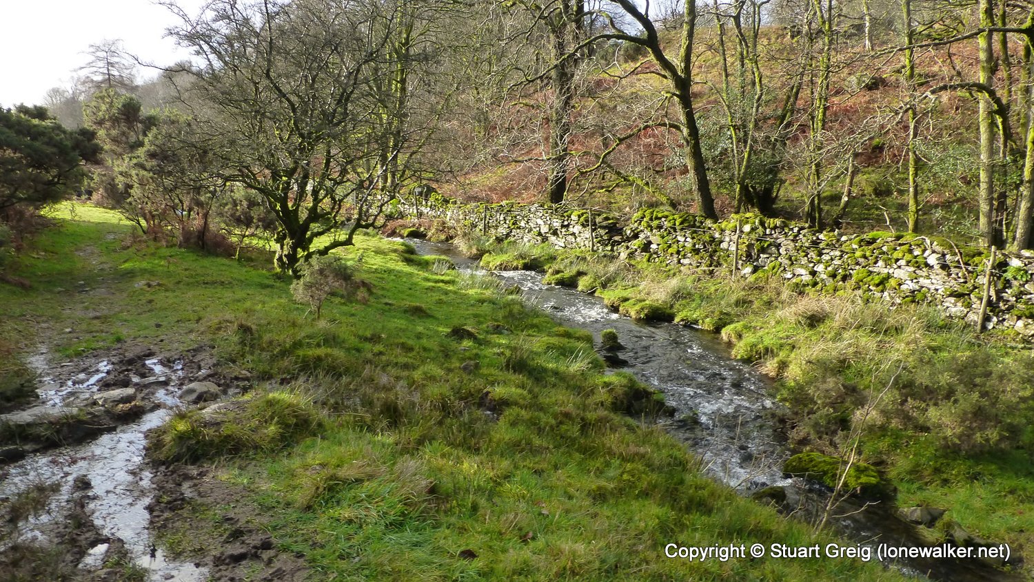
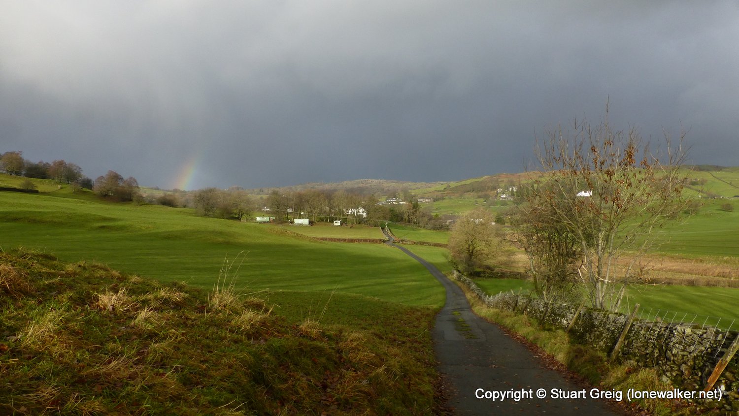
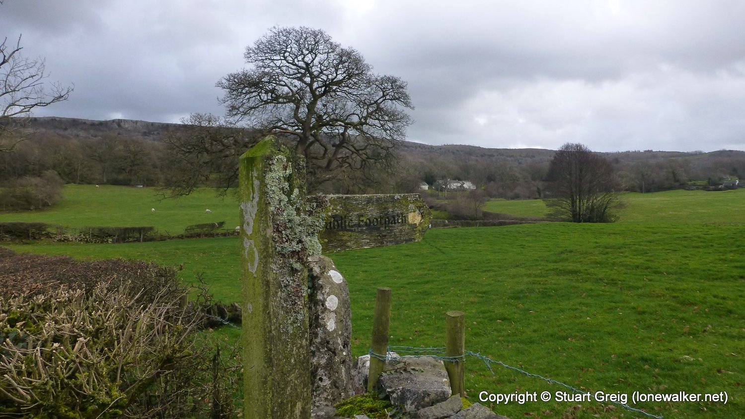
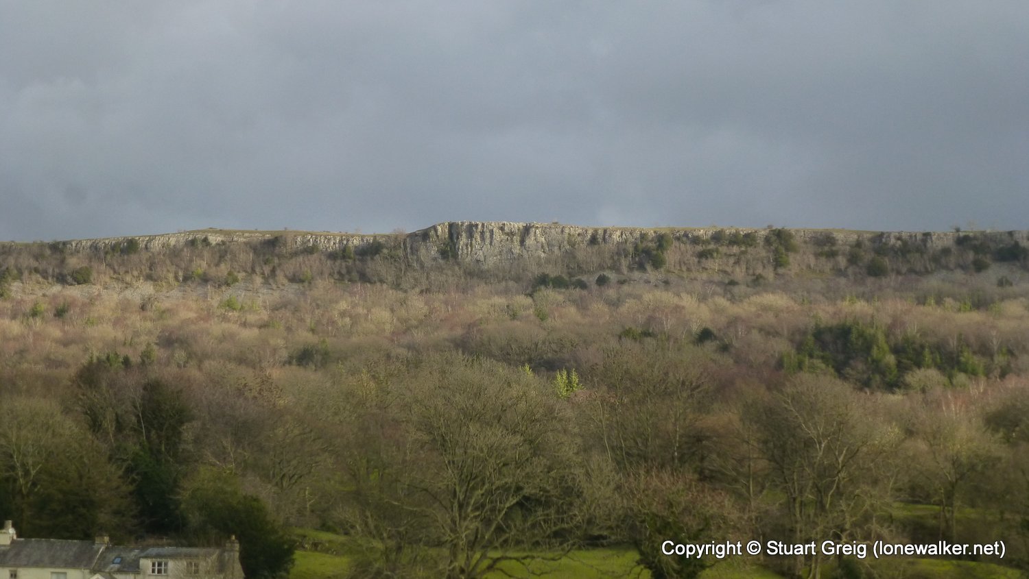
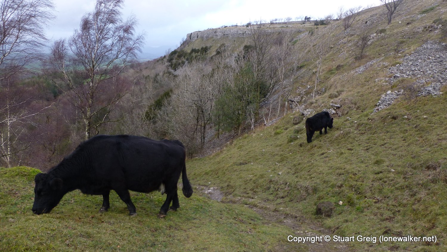
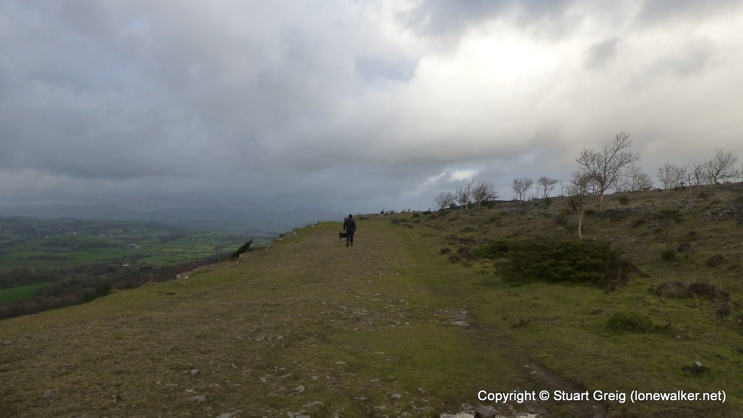
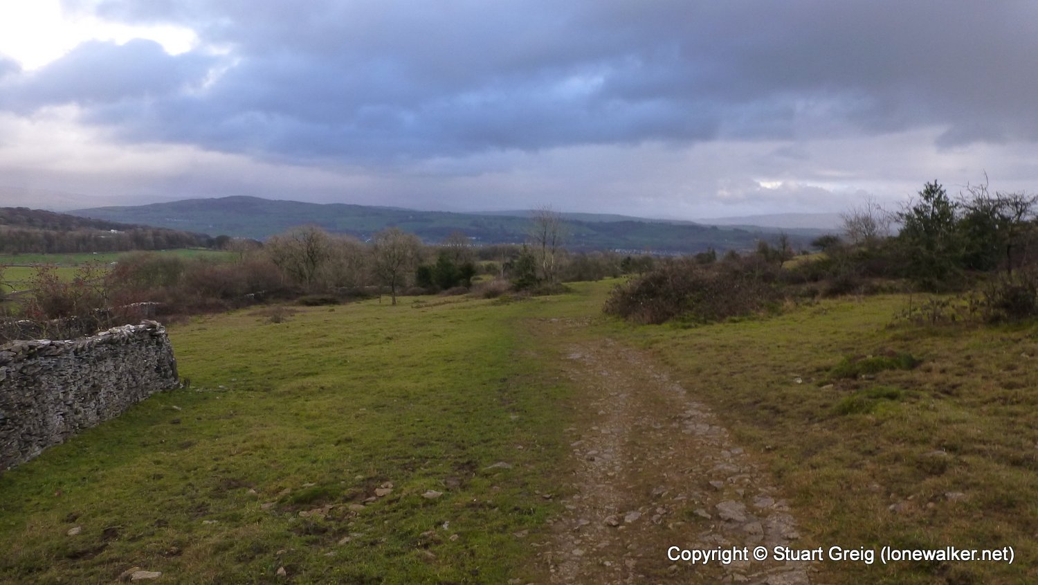
Route Description: Windermere, School Knott, Hag End, Gilpin Farm, Brow Head, The Broom, Tullythwaite House, Barrowfield Lot, Scout Scar, Bradleyfield, Kendal
Parking Grid Ref:
View Parking space in: OS Map or Google Street View
Walking with:
Long Distance Path: Westmorland Way
TP1062 - Barrowfield (Slightly damaged condition)
Click any image to open the full screen photo gallery


Walk Name: Ambleside to Windermere
Date: 2018-11-29
Distance: 8.0 mls, 12.87 km
Height Gain: 1700 ft, 518.2 m
Walk Name: Kendal to Holme
Date: 2018-12-01
Distance: 11.2 mls, 18.02 km
Height Gain: 700 ft, 213.4 m