
Date: 2018-12-01
Start: Kendal Finish: Holme
Distance: 11.2 mls, 18.02 km
Height Gain: 700 ft, 213.4 m
Start Time: 09:40 End Time: 14:30
Duration: 04:50
Ave Speed: 2.3 mph
Region: Lake District
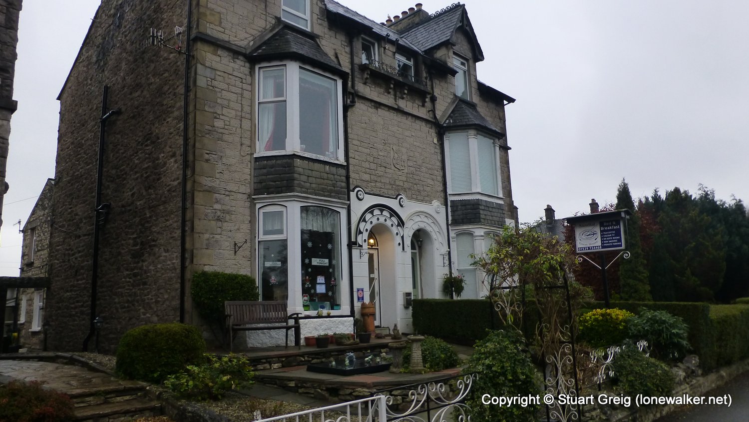
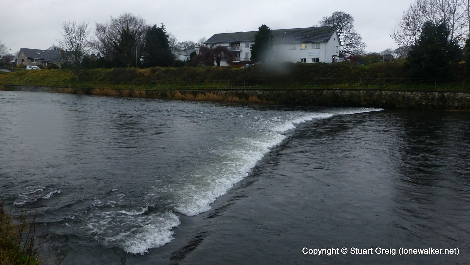
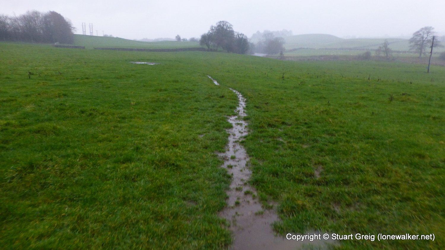
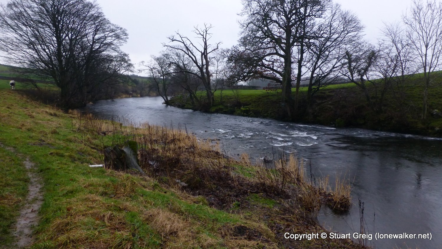
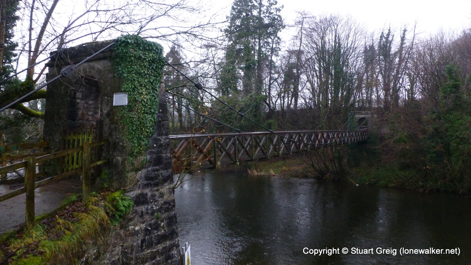
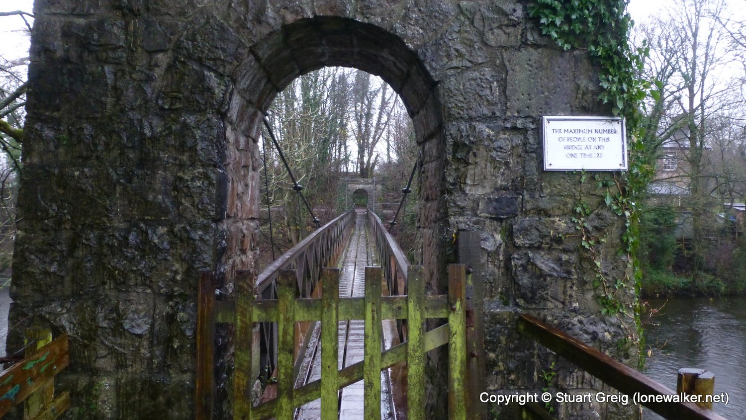
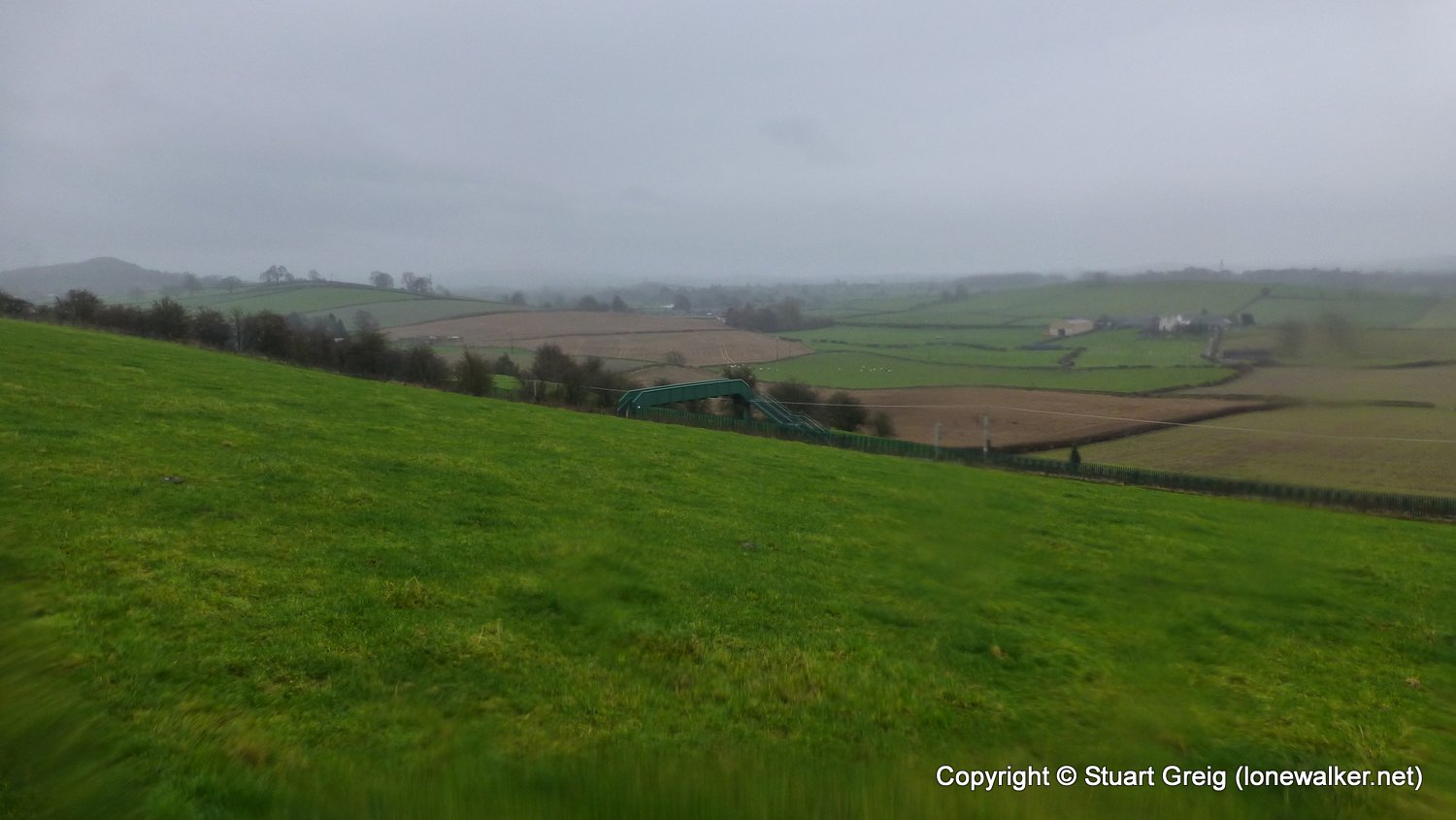
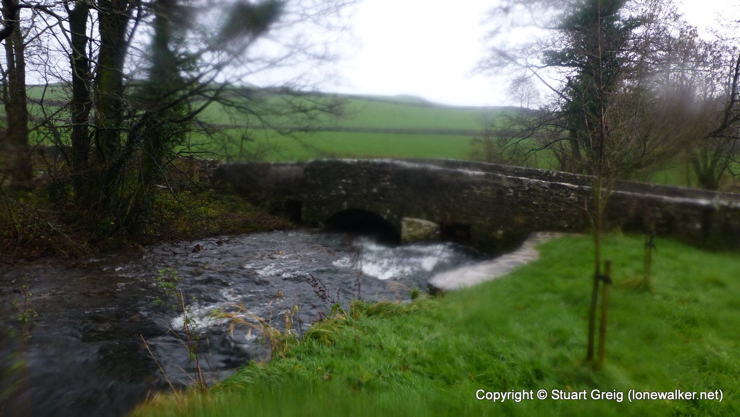
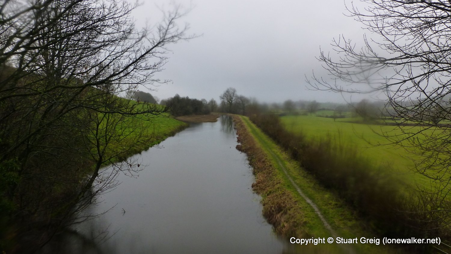
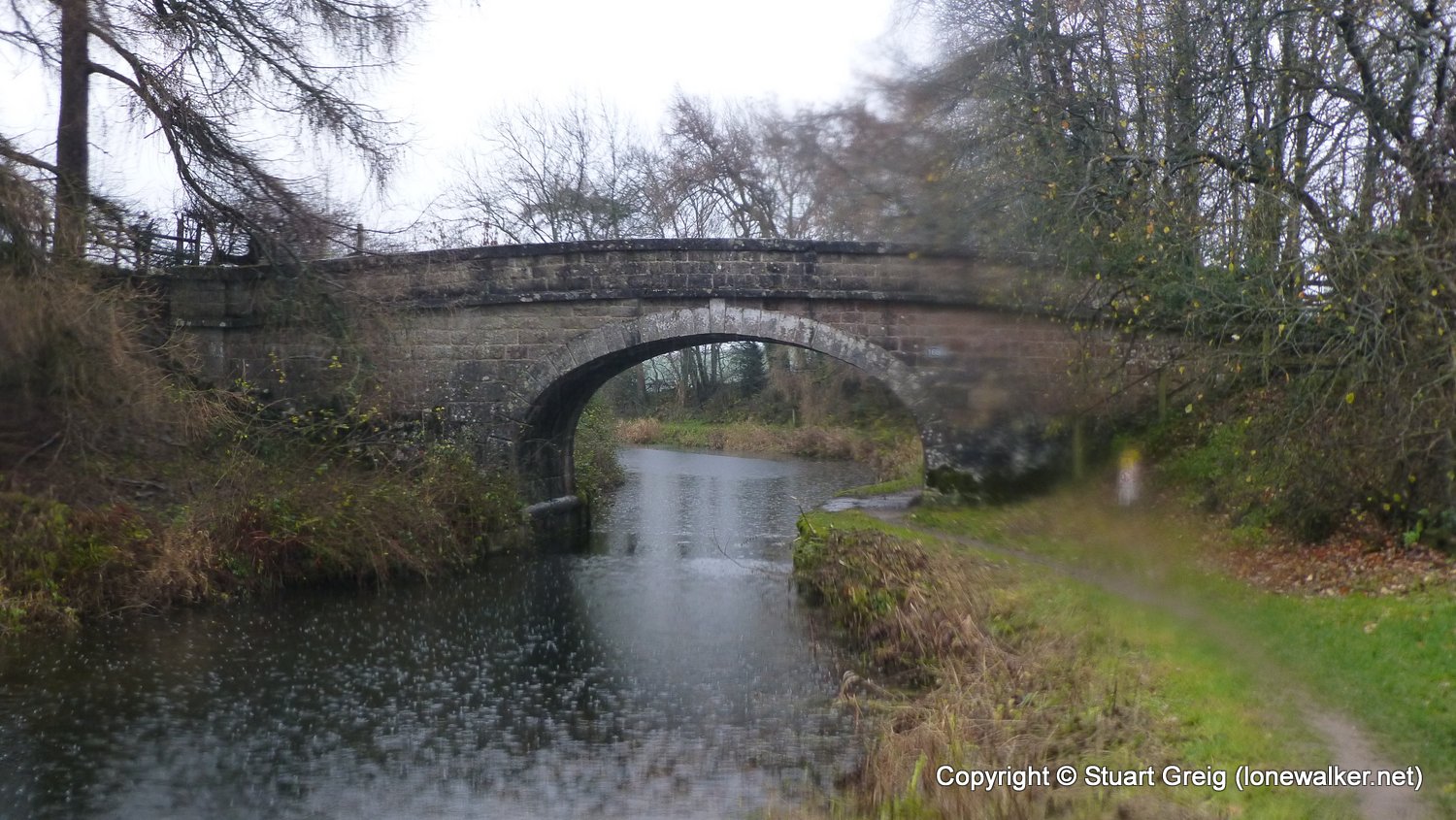
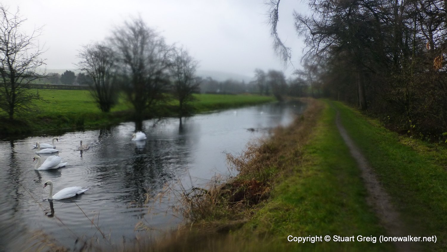
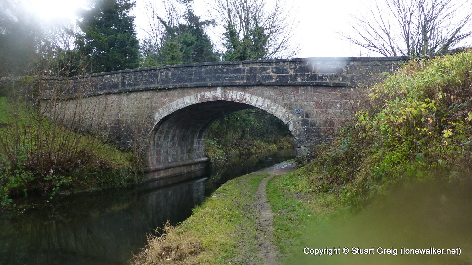
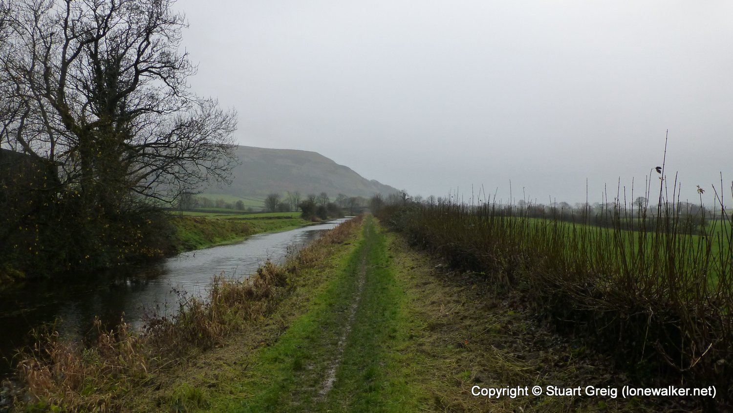
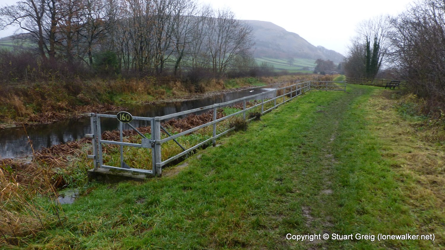
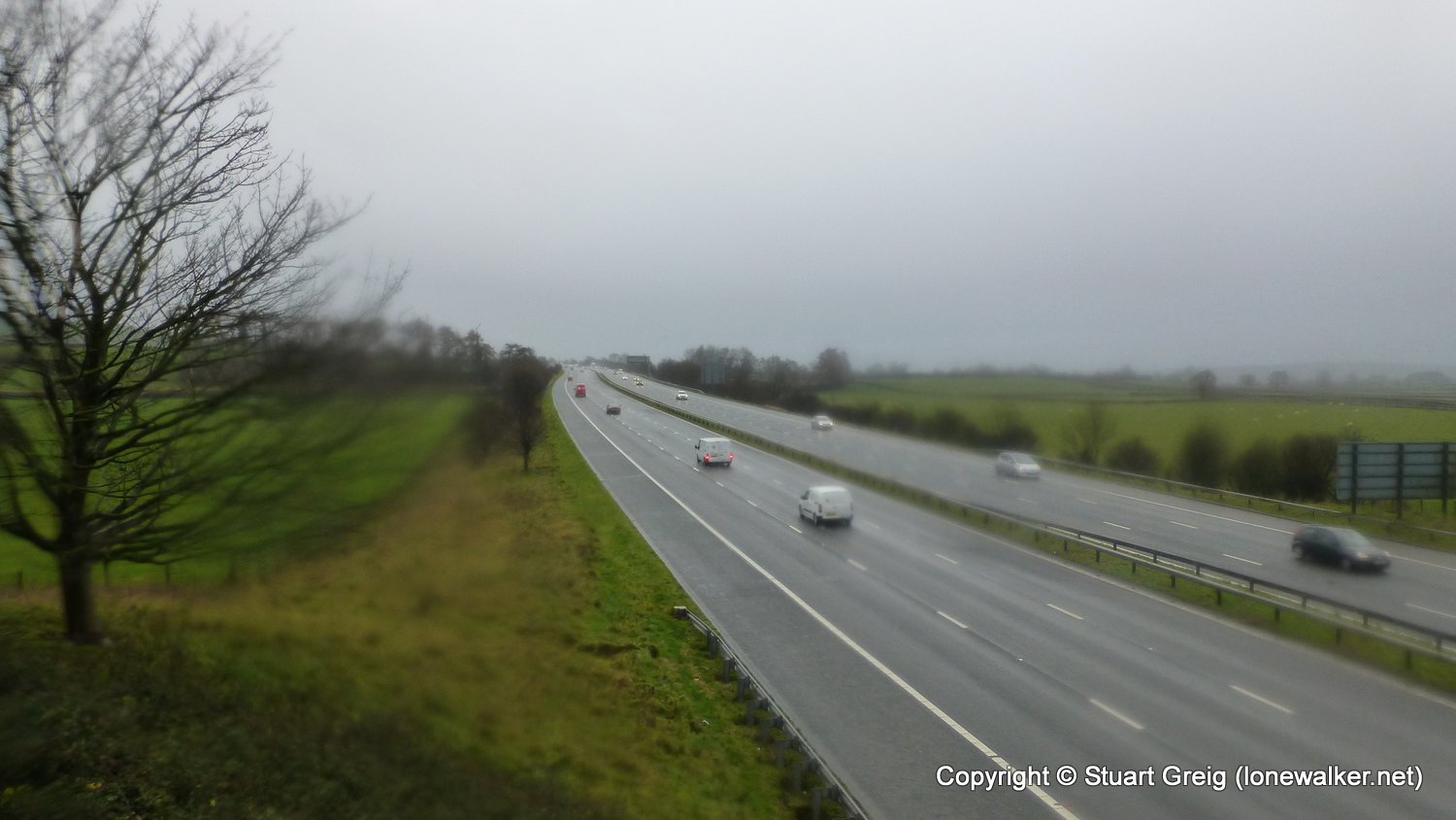
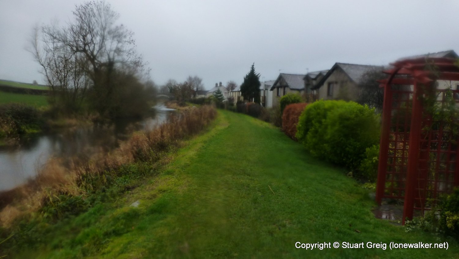
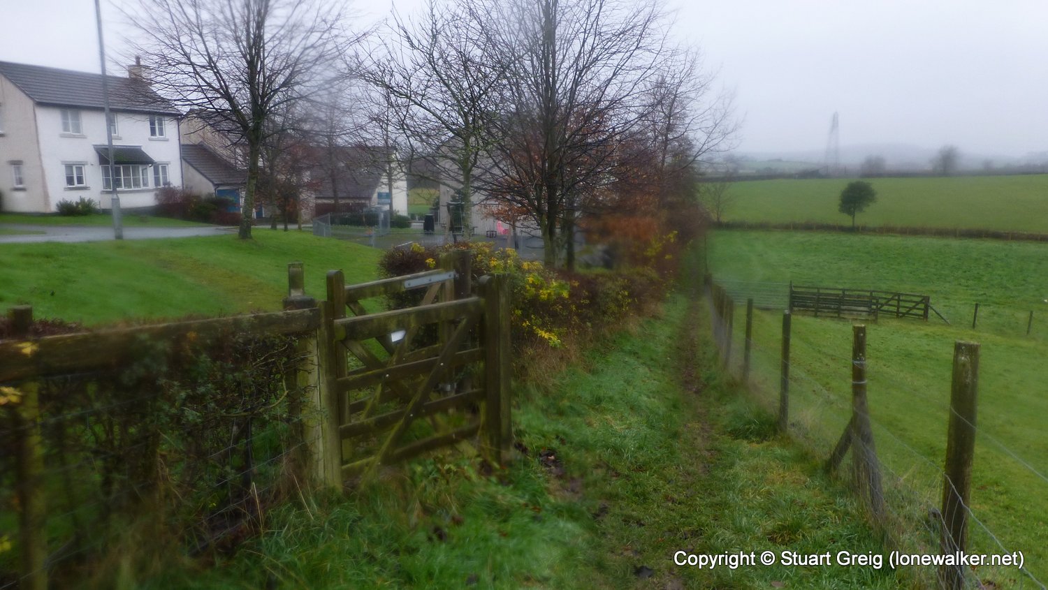
Route Description: Kendal, Watercrook Farm, River Kent, Hawes Bridge, Lancaster Canal, Wellheads Lane, Stainton, Crooklands, Kiln Hall, Dukes Bridge, Greystone, Holme
Parking Grid Ref:
View Parking space in: OS Map or Google Street View
Walking with:
Long Distance Path: Westmorland Way
Click any image to open the full screen photo gallery
Walk Name: Windermere to Kendal
Date: 2018-11-30
Distance: 12.5 mls, 20.12 km
Height Gain: 1700 ft, 518.2 m
Walk Name: Holme to Arnside
Date: 2018-12-02
Distance: 7.5 mls, 12.07 km
Height Gain: 1000 ft, 304.8 m