
Wet paths leaving Askrigg and had to wade deep pools on the way into Middleham but enjoyable day in between. The Yoredale Way really is a lovely walk.
Date: 2019-10-06
Start: Askrigg Finish: Middleham
Distance: 14.5 mls, 23.34 km
Height Gain: 900 ft, 274.3 m
Start Time: 08:55 End Time: 15:15
Duration: 06:20
Ave Speed: 2.2 mph
Region: Yorkshire Dales
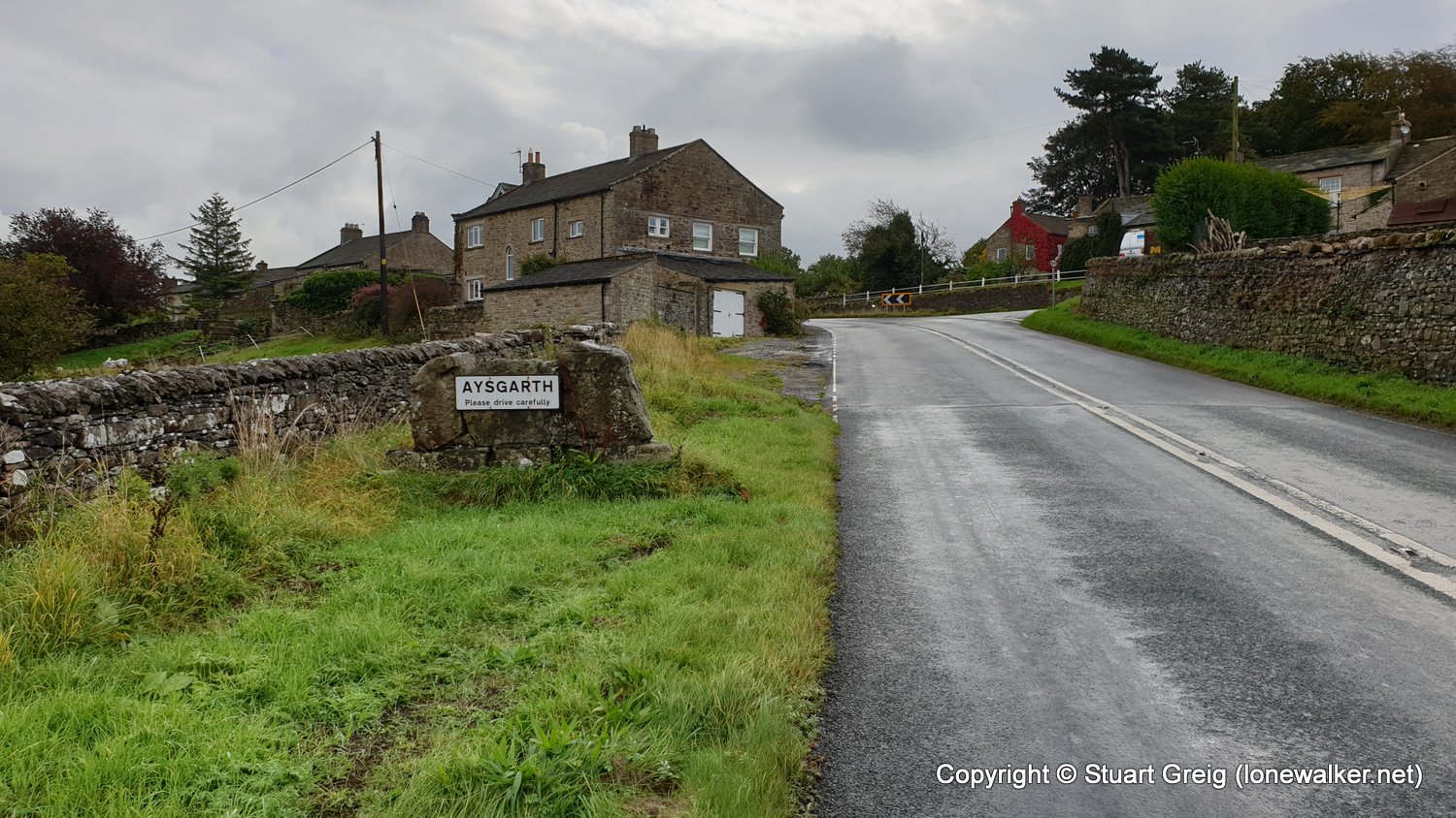
Route Description: Askrigg, Nappa Mill, Aysgarth, Aysgarth Lower Force, Hestholme Bridge, Slapestone Wath, Force Scar, Wanlass Wath, Wensley Bridge, The Wisings, Park Lane, Middleham
Parking Grid Ref:
View Parking space in: OS Map or Google Street View
Walking with: Alone
Long Distance Path: Yoredale Way
Link to full Walk Report: https://lonewalker.net/yoredale-way-2019-day-2/
Download GPX file for this walk:
If your browser opens the file directly, right click and "Save As.."
Click any image to open the full screen photo gallery


Walk Name: Garsdale Head to Askrigg
Date: 2019-10-05
Distance: 12.1 mls, 19.47 km
Height Gain: 900 ft, 274.3 m
Walk Name: Middleham to Masham
Date: 2019-10-07
Distance: 11.3 mls, 18.19 km
Height Gain: 700 ft, 213.4 m