
Cold and blustery day, but really good to be out on the hills again. Used the ascent of William Clough again, allowing for me to abandon the walk in the event of any foot pain. Foor was bit sore at the end of the walk, but nothing too bad and hopefully remain strong for future walks this year.
Date: 2020-03-07
Start: Bowden Bridge Finish: Bowden Bridge
Distance: 7.8 mls, 12.55 km
Height Gain: 1800 ft, 548.6 m
Start Time: 07:30 End Time: 11:25
Duration: 03:55
Ave Speed: 2.0 mph
Region: Peak District
Route Description: Bowden Bridge, Kinder Reservoir, William Clough, Sandy Heys, The Edge, Kinder Downfall, The Three Knolls, Tunstead Clough Farm, Bowden Bridge
Parking Grid Ref: SK 04863 86930
View Parking space in: OS Map or Google Street View
Walking with: Alone
Long Distance Path:
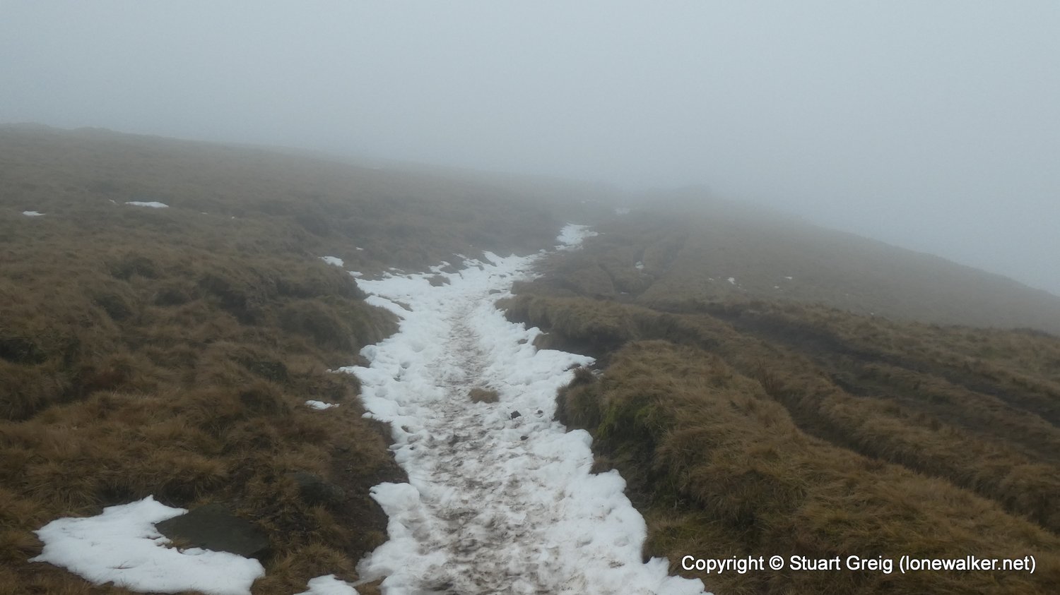
TP6378 - The Edge (Good condition)
Click any image to open the full screen photo gallery


Walk Name: Delamere and Pale Heights
Date: 2020-03-01
Distance: 4.9 mls, 7.89 km
Height Gain: 400 ft, 121.9 m
Walk Name: Harry Hut and Doctors Gate
Date: 2020-05-25
Distance: 10.4 mls, 16.74 km
Height Gain: 1600 ft, 487.7 m