
Date: 2006-09-16
Start: Pott Shrigley Finish: Pott Shrigley
Distance: 13.5 mls, 21.73 km
Height Gain: 1700 ft, 518.2 m
Start Time: 08:07 End Time: 12:03
Duration: 03:56
Ave Speed: 3.4 mph
Region: Cheshire
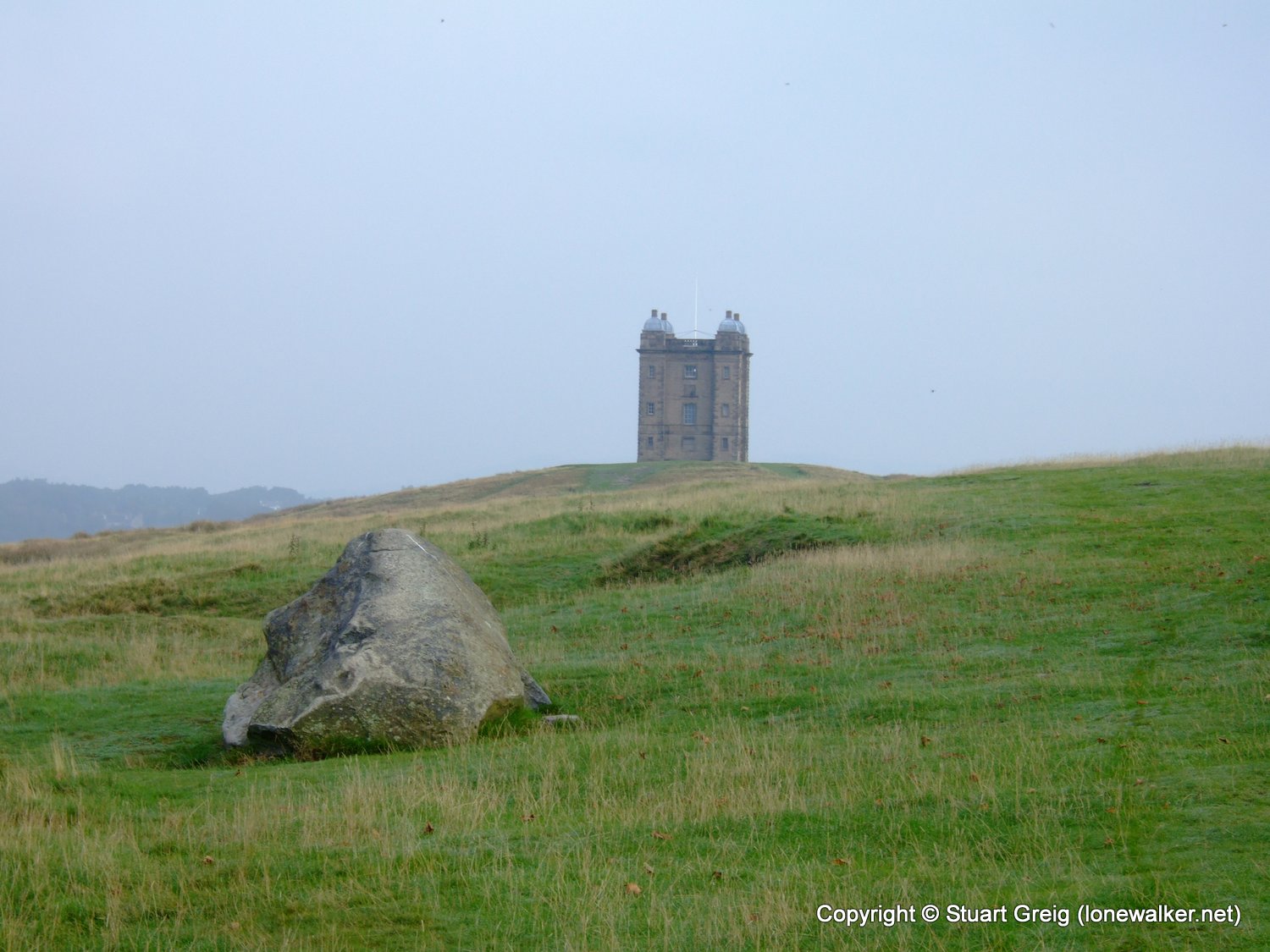
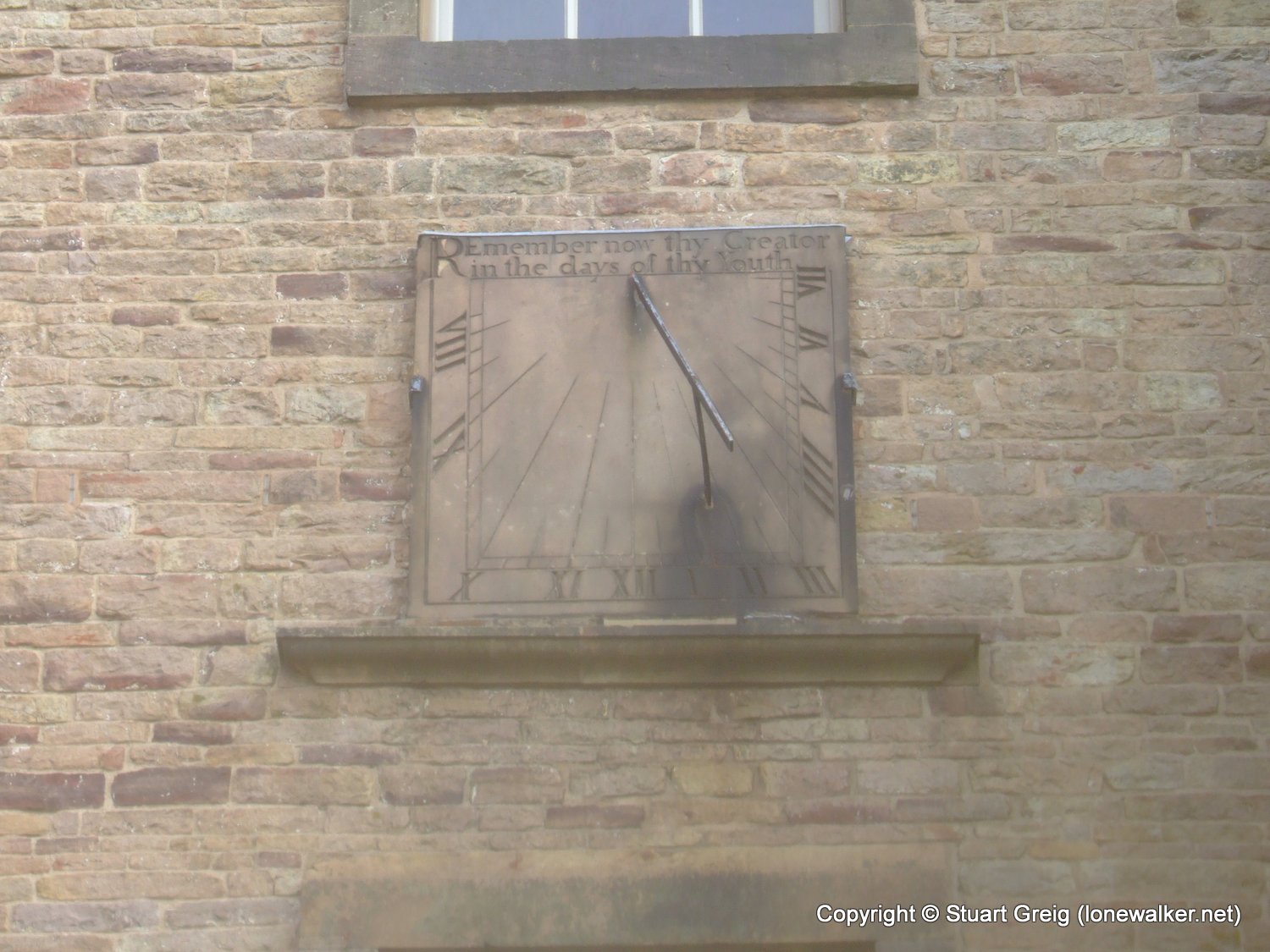
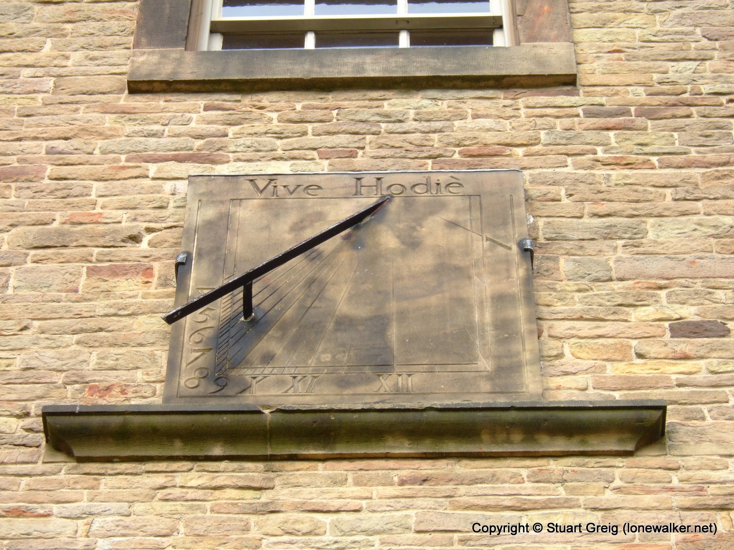
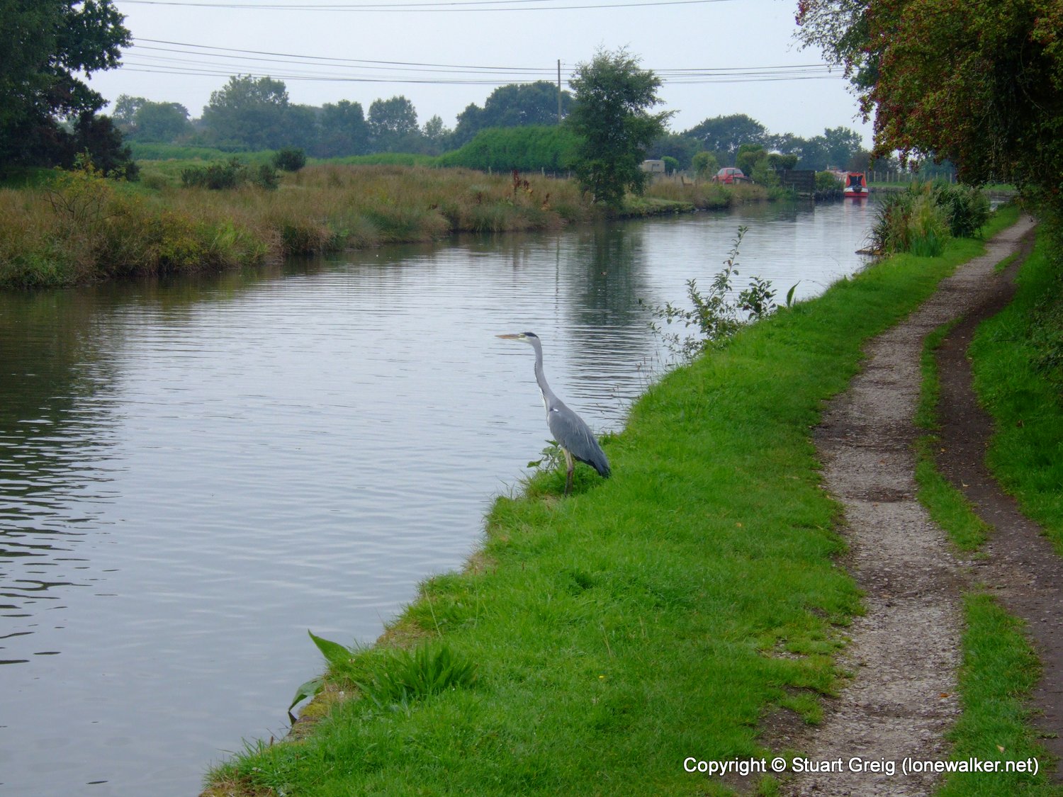
Route Description: Pot Shrigley, Berristall Hall, Brink Farm, Sponds Hill, Lyme Park, Cage Hill, Macc Canal, Woodend Farm, Pott Shrigley
Parking Grid Ref: SJ 94493 79203
View Parking space in: OS Map or Google Street View
Walking with: Mike Hardy
Long Distance Path:
16532 - Sponds Hill (1355 ft)
Click any image to open the full screen photo gallery


Walk Name: Croker Hill & Shutlingsloe
Date: 2006-09-09
Distance: 10.5 mls, 16.90 km
Height Gain: 2200 ft, 670.6 m
Walk Name: Moel Famau & Moel Arthur
Date: 2006-09-23
Distance: 11.5 mls, 18.51 km
Height Gain: 2200 ft, 670.6 m