
Date: 2007-01-20
Start: Ribblehead Finish: Ribblehead
Distance: 4.5 mls, 7.24 km
Height Gain: 600 ft, 182.9 m
Start Time: 07:59 End Time: 09:47
Duration: 01:48
Ave Speed: 2.5 mph
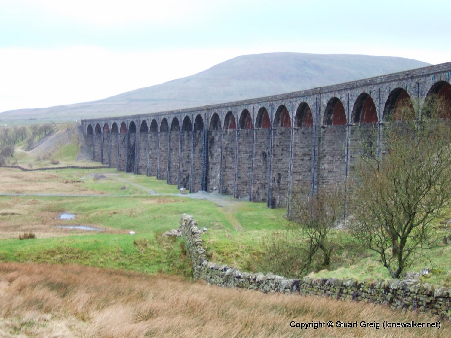
Region: Yorkshire Dales
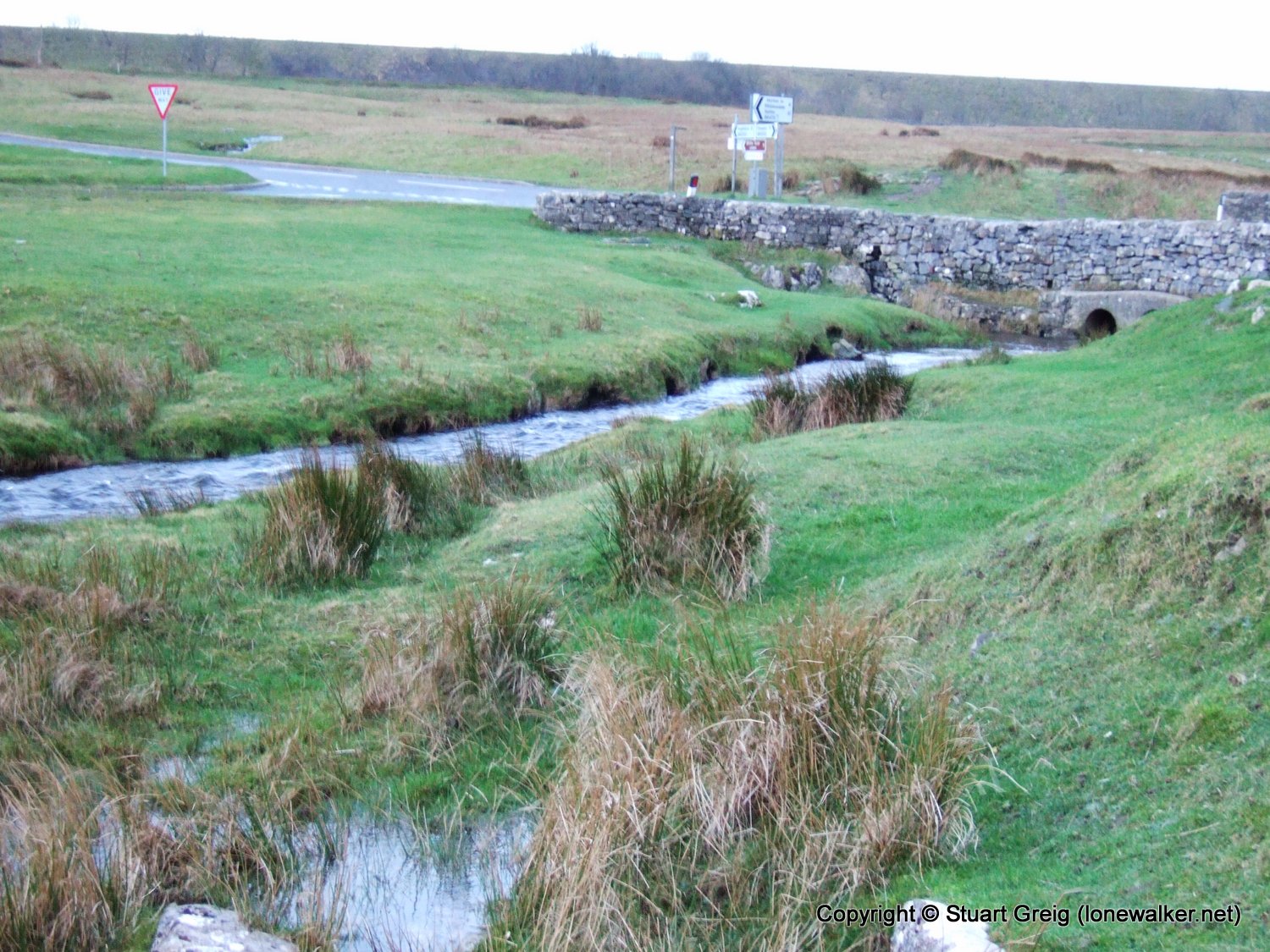
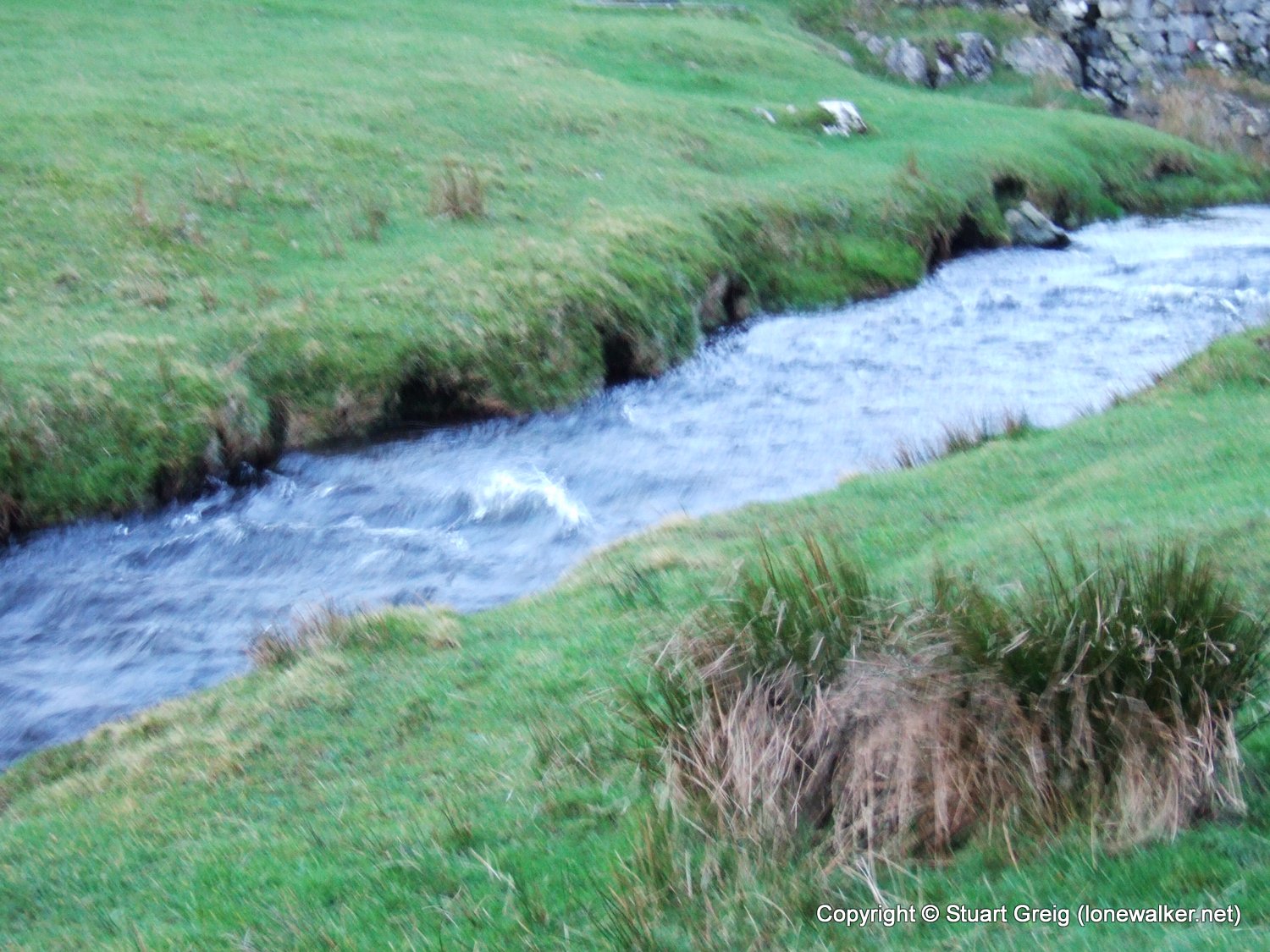
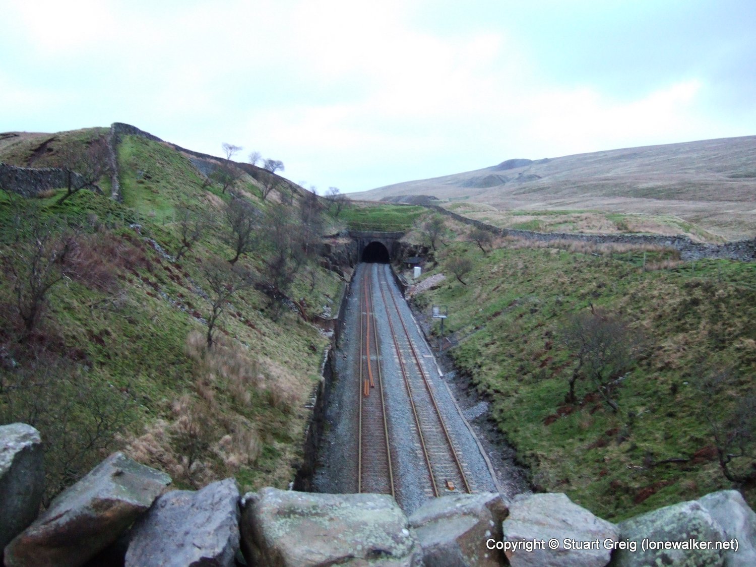
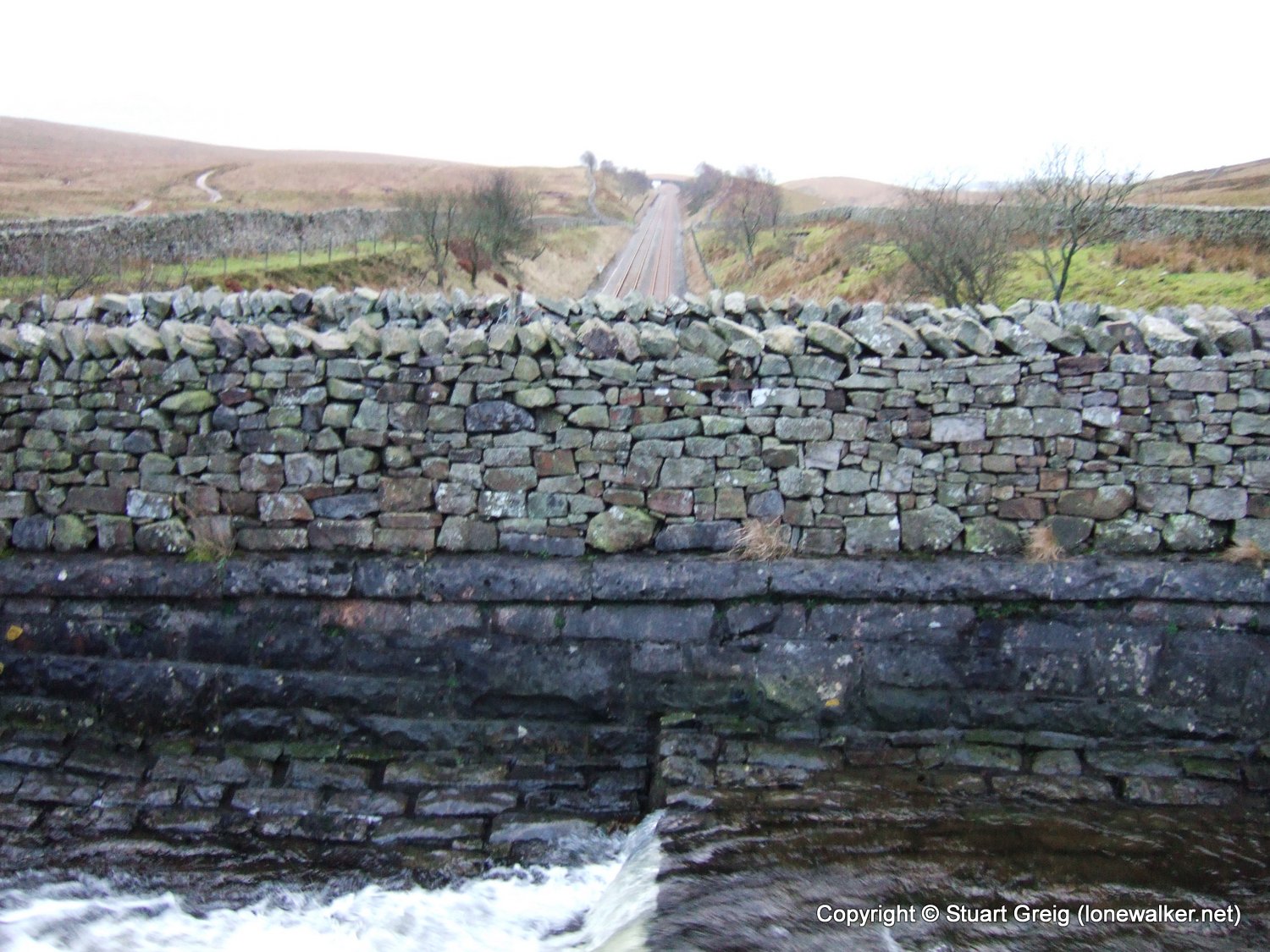
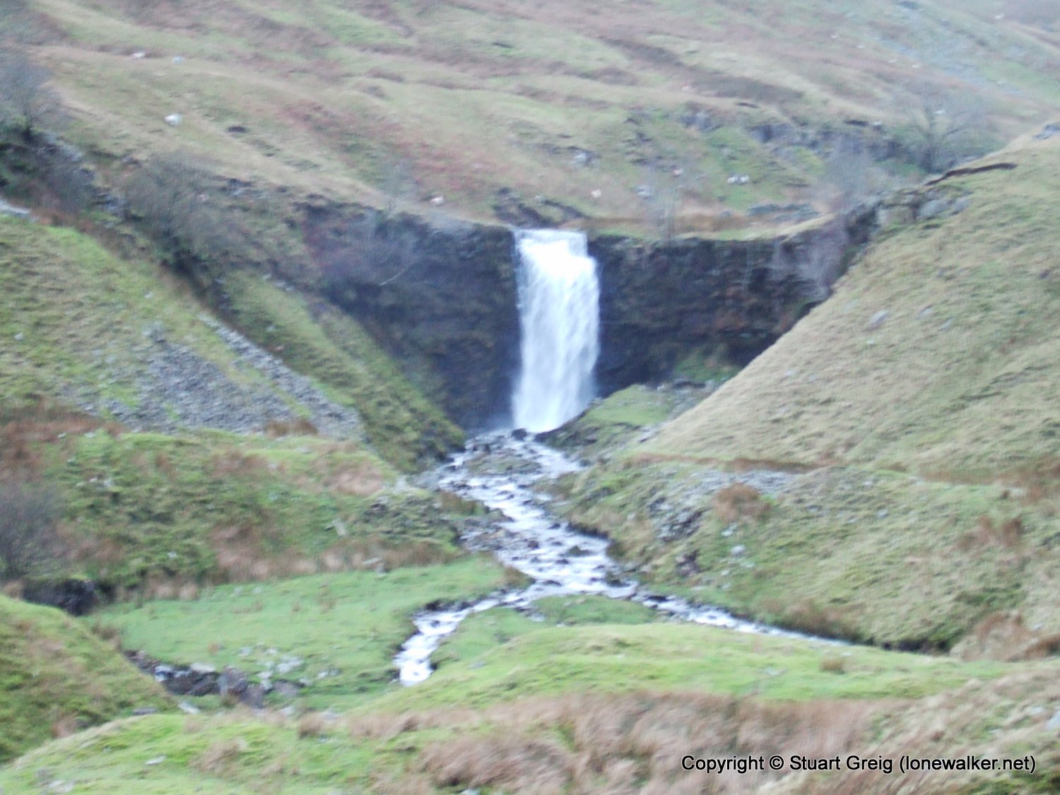
Route Description: Ribblehead, Bleamoor Sidings, Smithy Hill and return
Parking Grid Ref: SD 76564 79294
View Parking space in: OS Map or Google Street View
Walking with: Alone
Long Distance Path:
Click any image to open the full screen photo gallery
Walk Name: Kinder Downfall
Date: 2007-01-06
Distance: 9.5 mls, 15.29 km
Height Gain: 2300 ft, 701.0 m
Walk Name: Blea Moor
Date: 2007-01-27
Distance: 8.0 mls, 12.87 km
Height Gain: 1400 ft, 426.7 m