
Date: 2008-01-25
Start: Mobberley Road Finish: Mobberley Road
Distance: 6.5 mls, 10.46 km
Height Gain: 200 ft, 61.0 m
Start Time: 11:28 End Time: 13:02
Duration: 01:34
Ave Speed: 4.1 mph
Region: Cheshire
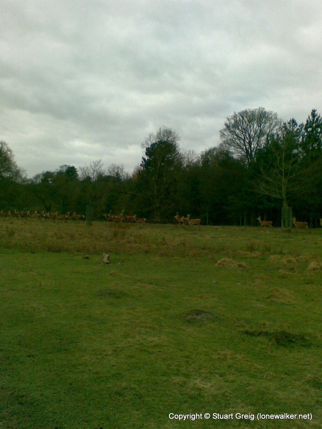
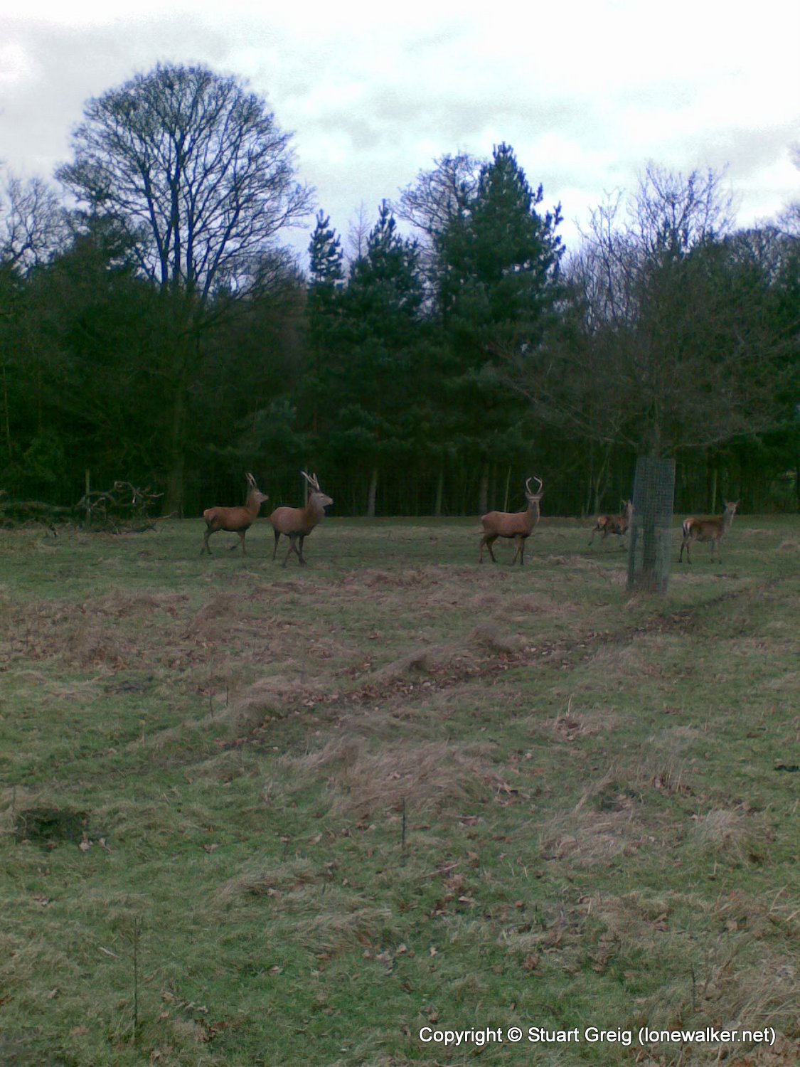
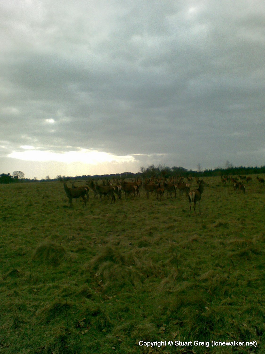
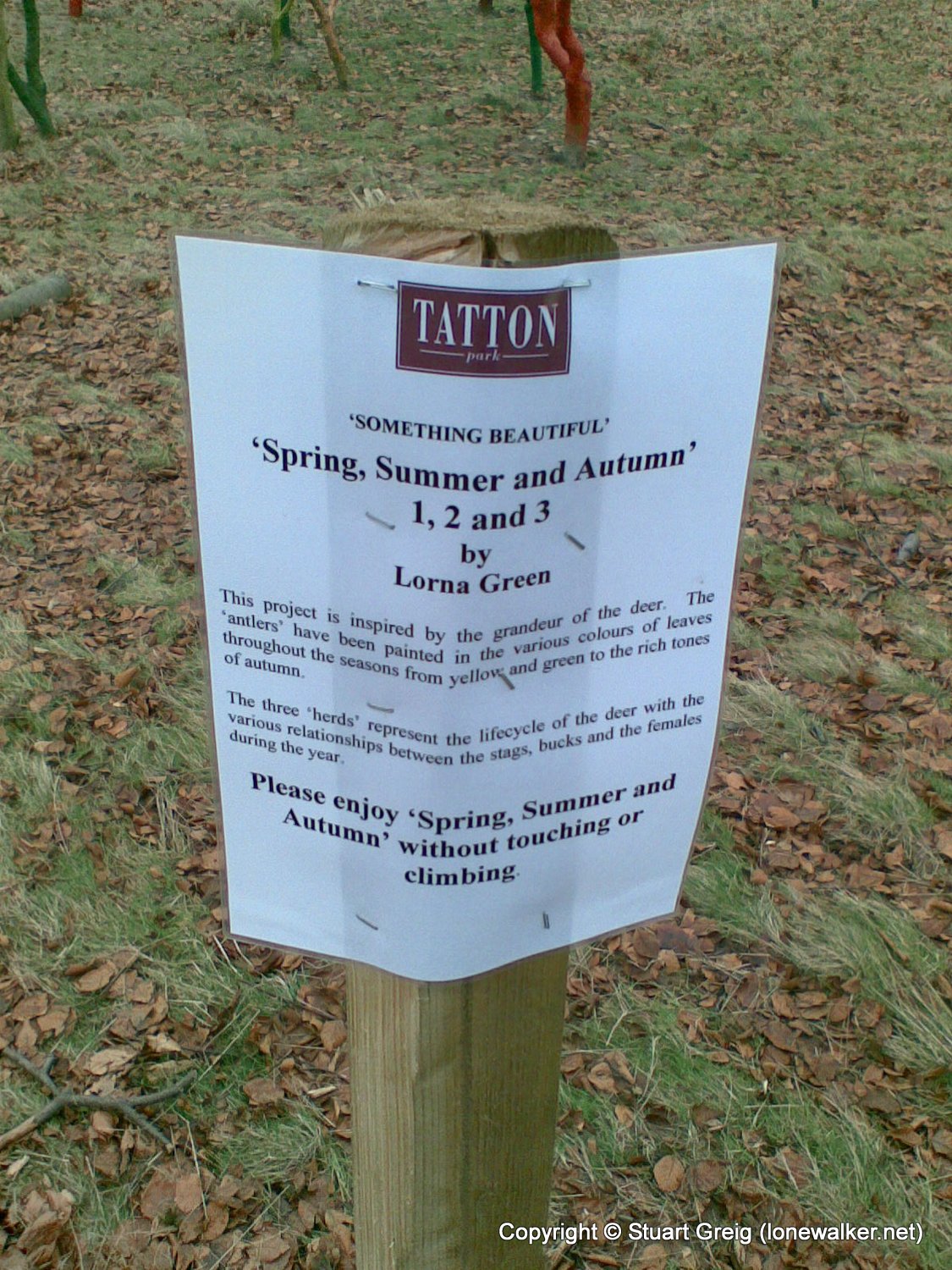
Route Description: Mobberley Road, Dog Wood, Tatton, Knutsford town, Mobberley Road
Parking Grid Ref: SJ 75755 78880
View Parking space in: OS Map or Google Street View
Walking with: Alone
Long Distance Path:
Link to full Walk Report: https://lonewalker.net/walk-report-tatton-park/
Download GPX file for this walk:
If your browser opens the file directly, right click and "Save As.."
Click any image to open the full screen photo gallery

Walk Name: Calf Top
Date: 2008-01-05
Distance: 12.5 mls, 20.12 km
Height Gain: 2200 ft, 670.6 m
Walk Name: Tegg's Nose & Shutlingsloe
Date: 2008-01-26
Distance: 8.5 mls, 13.68 km
Height Gain: 1900 ft, 579.1 m