
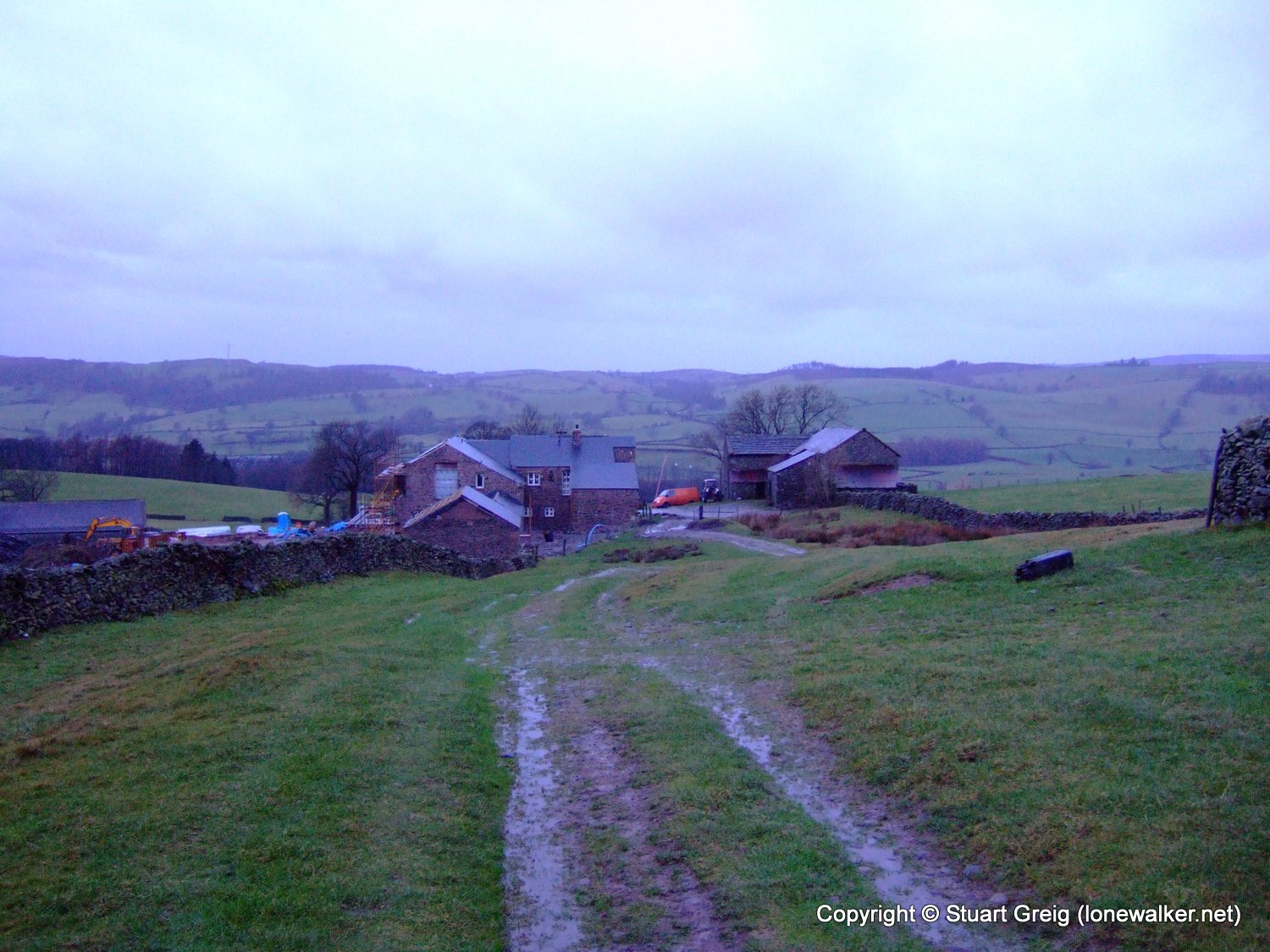
Date: 2008-01-05
Start: Middleton Head Finish: Middleton Head
Distance: 12.5 mls, 20.12 km
Height Gain: 2200 ft, 670.6 m
Start Time: 07:56 End Time: 13:10
Duration: 05:14
Ave Speed: 2.4 mph
Region: Yorkshire Dales
Route Description: Middleton Head, Fellside, Brown Knott, Calf Top, Castle Knott, Barbon, Middleton, Middleton Head
Parking Grid Ref: SD 63049 89081
View Parking space in: OS Map or Google Street View
Walking with: Rob Powell
Long Distance Path:
Link to full Walk Report: https://lonewalker.net/walk-report-calf-top/
Download GPX file for this walk:
If your browser opens the file directly, right click and "Save As.."
TP1875 - Calf Top (Good condition)
Click any image to open the full screen photo gallery


Walk Name: Fairfield Horseshoe
Date: 2007-12-20
Distance: 11.5 mls, 18.51 km
Height Gain: 3700 ft, 1127.8 m
Walk Name: Tatton Perimeter
Date: 2008-01-25
Distance: 6.5 mls, 10.46 km
Height Gain: 200 ft, 61.0 m