
Date: 2008-05-17
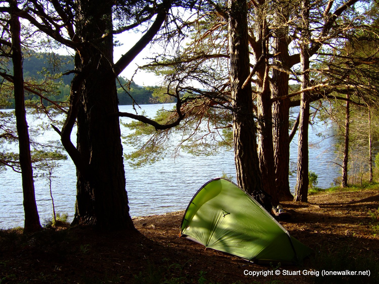
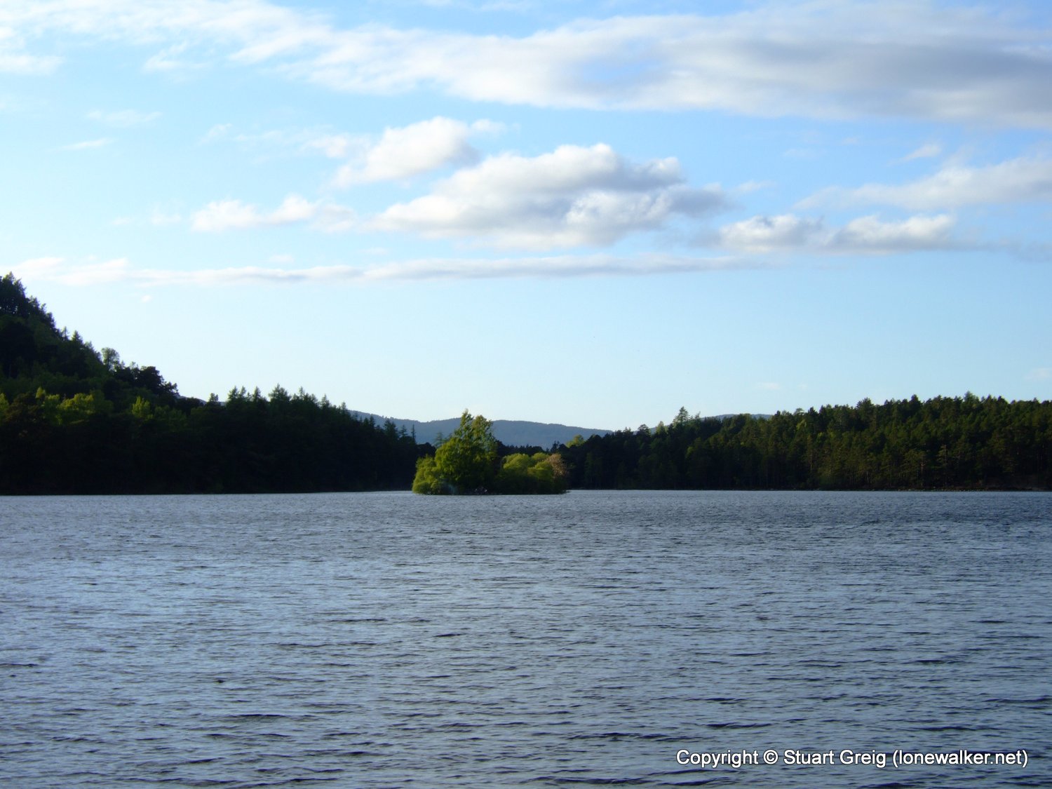
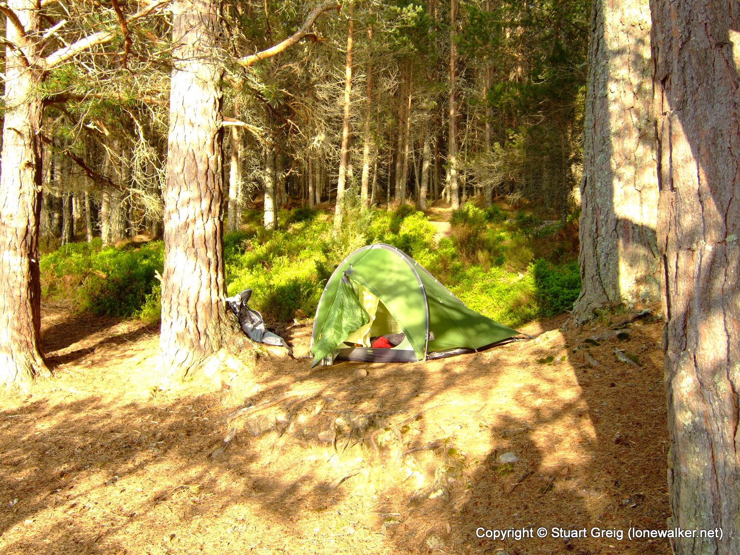
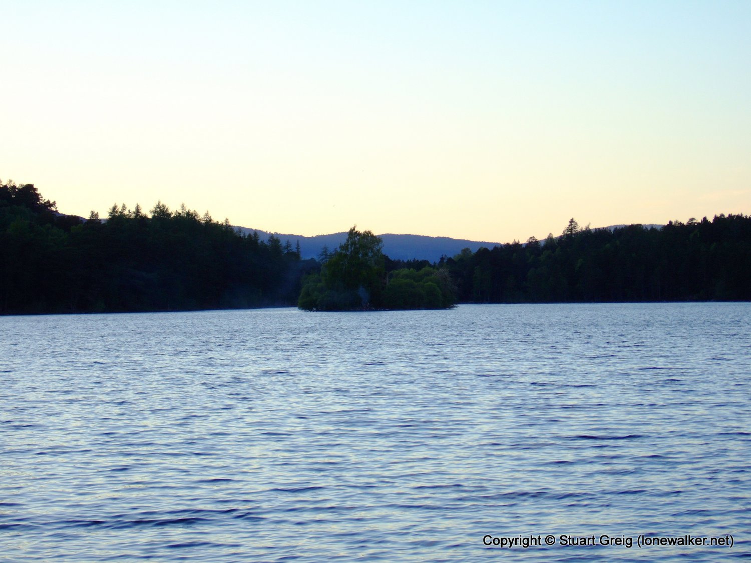
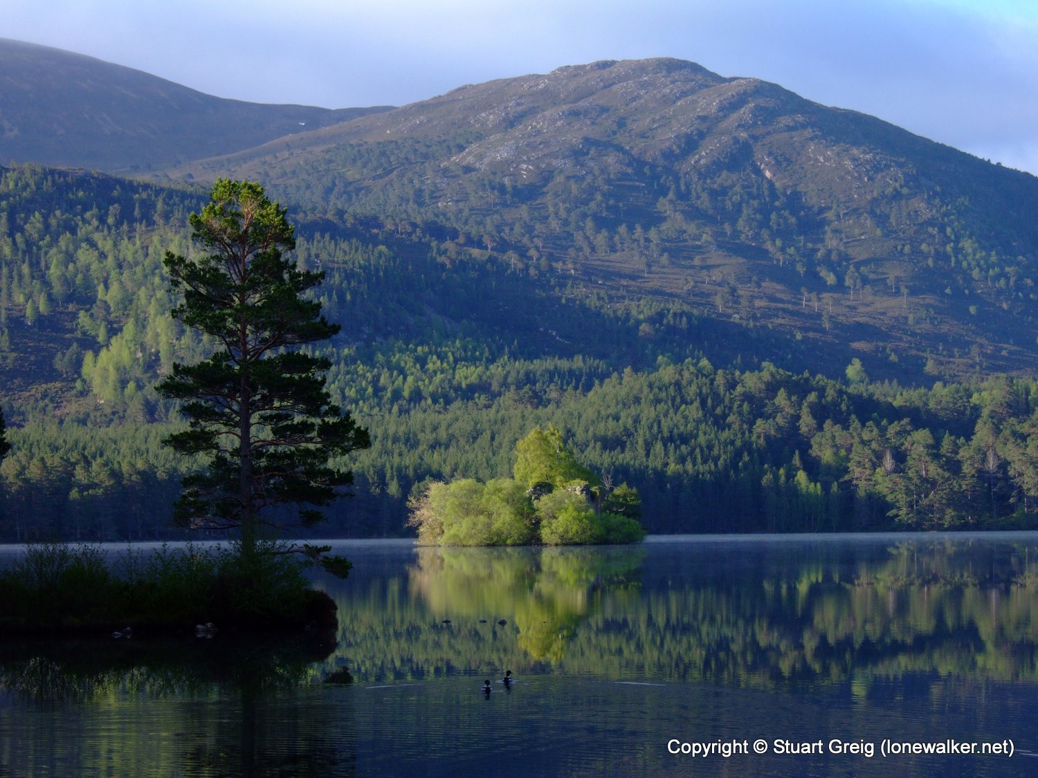
Start: Loch an Eilein Finish: Loch an Eilein
Distance: 1.5 mls, 2.41 km
Height Gain: 200 ft, 61.0 m
Start Time: 18:54 End Time: 19:32
Duration: 00:38
Ave Speed: 2.4 mph
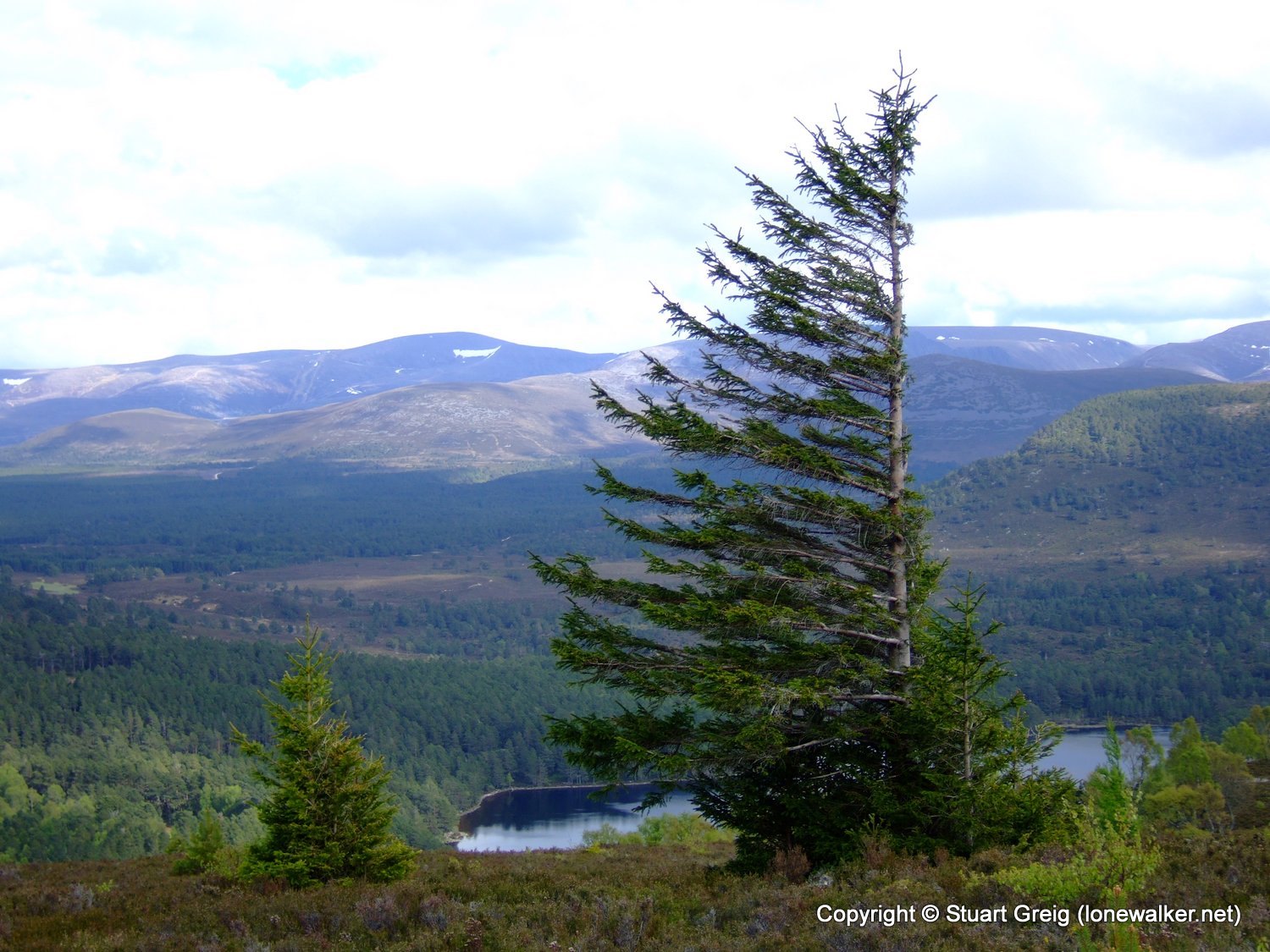
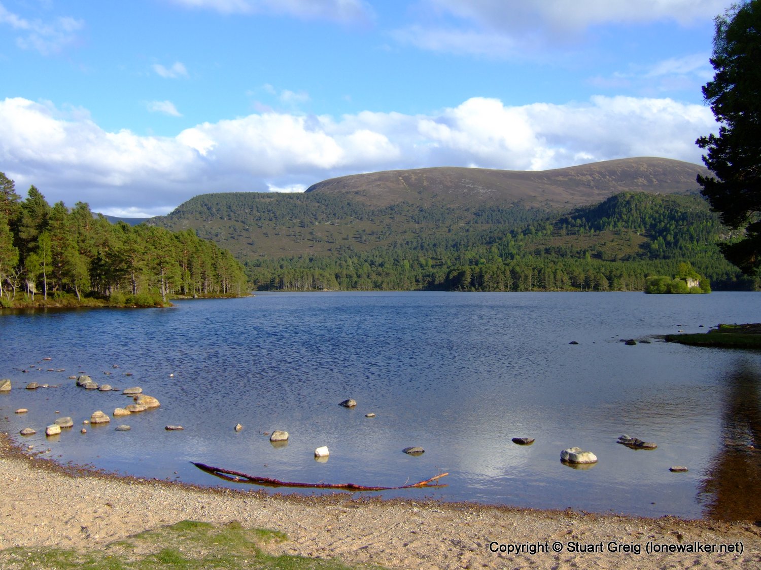
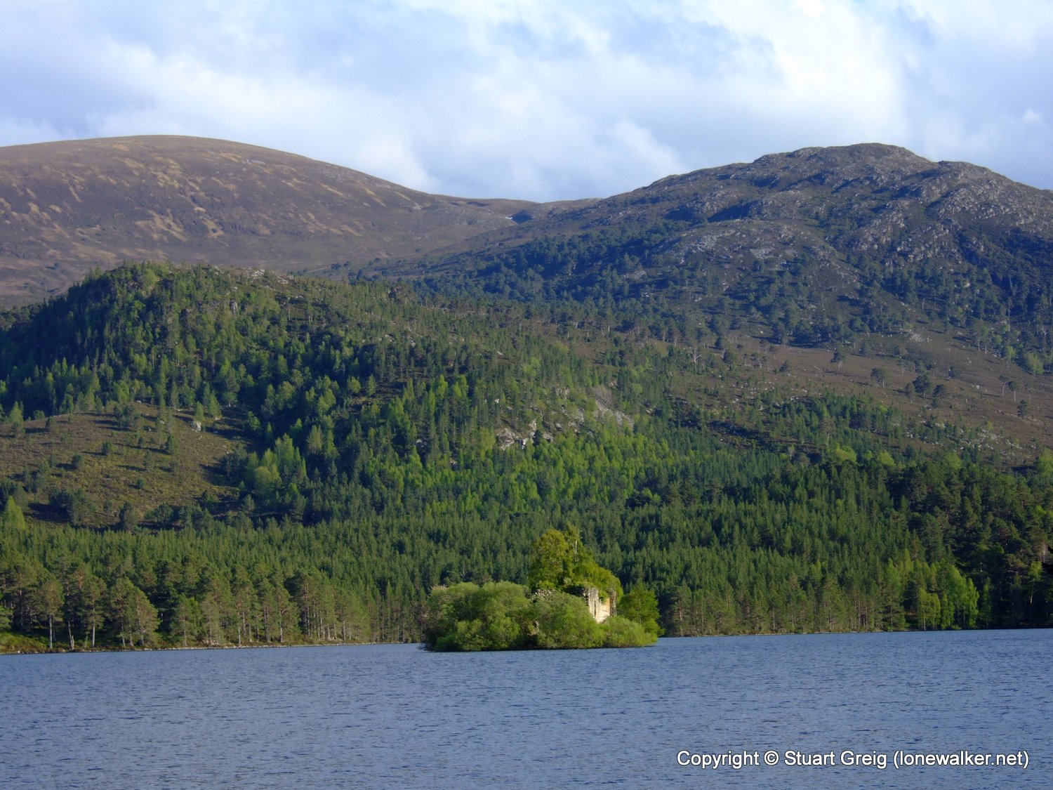
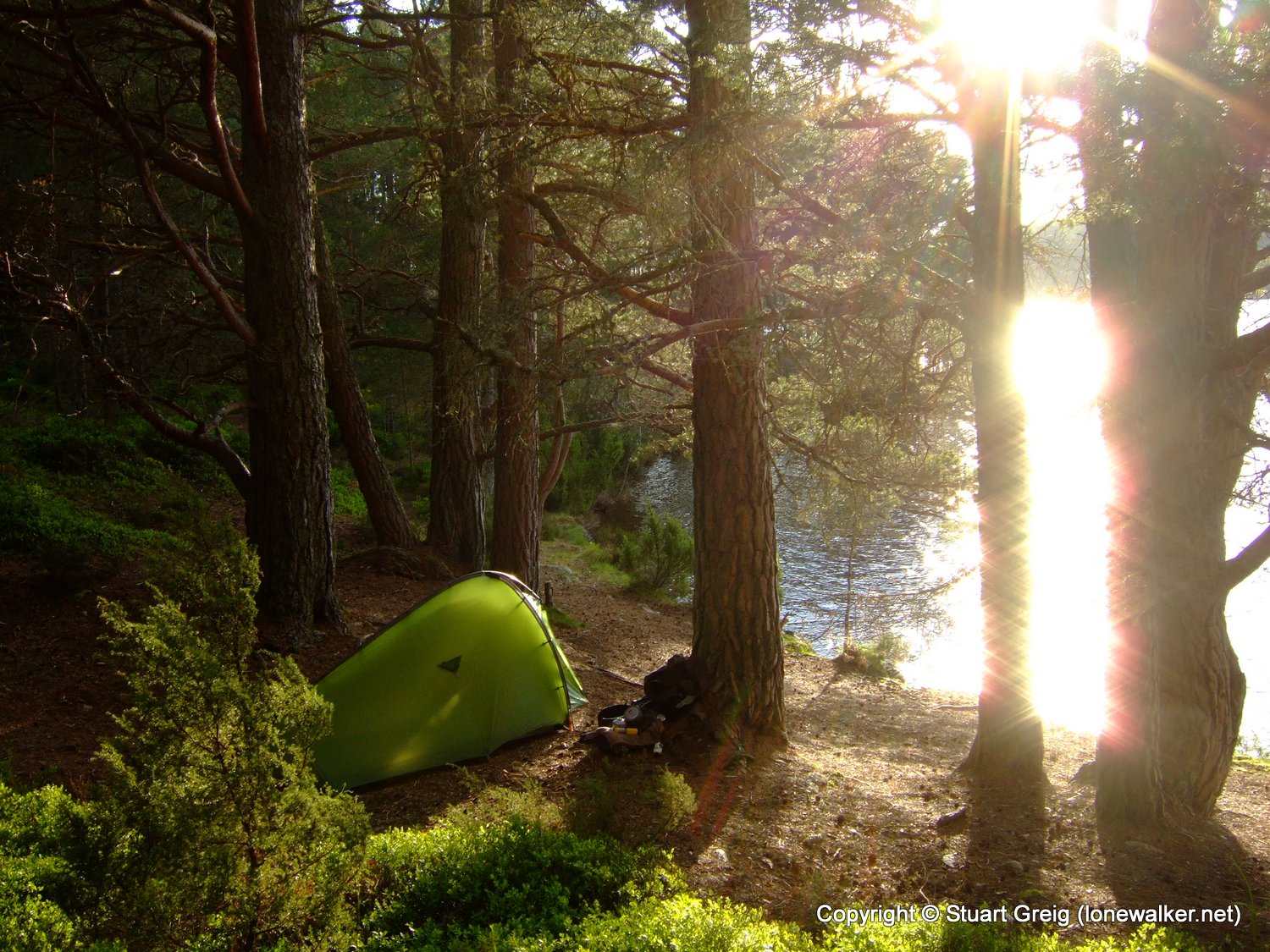
Region: Central Highlands
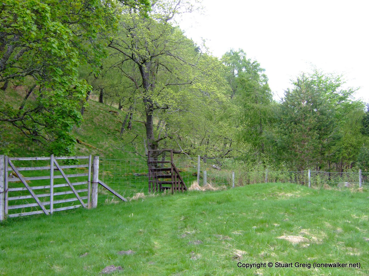
Route Description: Path beside lake
Parking Grid Ref: NH 89680 08478
View Parking space in: OS Map or Google Street View
Walking with: Alone
Long Distance Path:
Link to full Walk Report: https://lonewalker.net/whw-2008-day-0/
Download GPX file for this walk:
If your browser opens the file directly, right click and "Save As.."
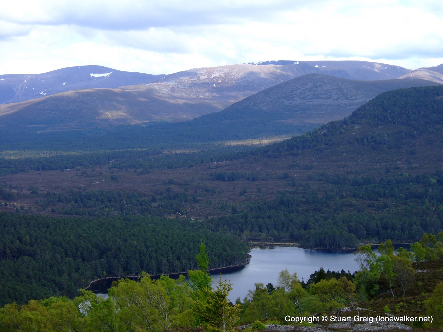
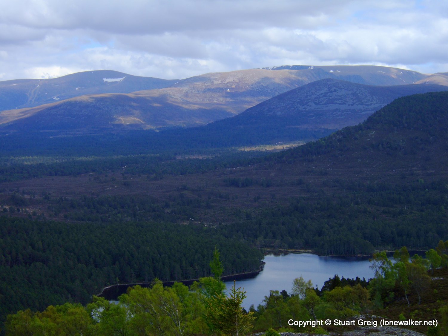
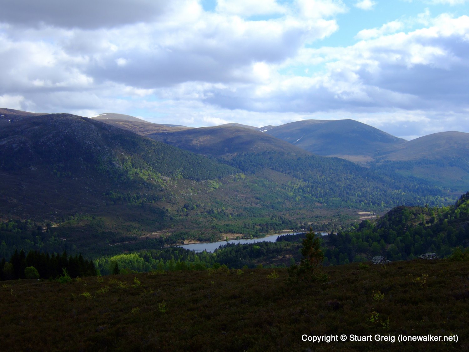
609 - Ord Ban (1407 ft)
TP0493 - Dalwhinnie (Good condition)
TP0771 - Aberuthven (Moved condition)
TP2002 - Carrickstone (Slightly damaged condition)
TP2508 - Craigash (Good condition)
TP4963 - Mugdock Hill (Good condition)
TP5236 - Ord Ban (Good condition)
TP7165 - Milngavie (Good condition)
Click any image to open the full screen photo gallery


Walk Name: Kentmere Round
Date: 2008-05-07
Distance: 13.0 mls, 20.92 km
Height Gain: 3900 ft, 1188.7 m
Walk Name: Glasgow to Milngavie
Date: 2008-05-18
Distance: 10.5 mls, 16.90 km
Height Gain: 800 ft, 243.8 m