
Date: 2009-02-28
Start: Patterdale Finish: Patterdale
Distance: 11.0 mls, 17.70 km
Height Gain: 3000 ft, 914.4 m
Start Time: 08:34 End Time: 14:16
Duration: 05:42
Ave Speed: 1.9 mph
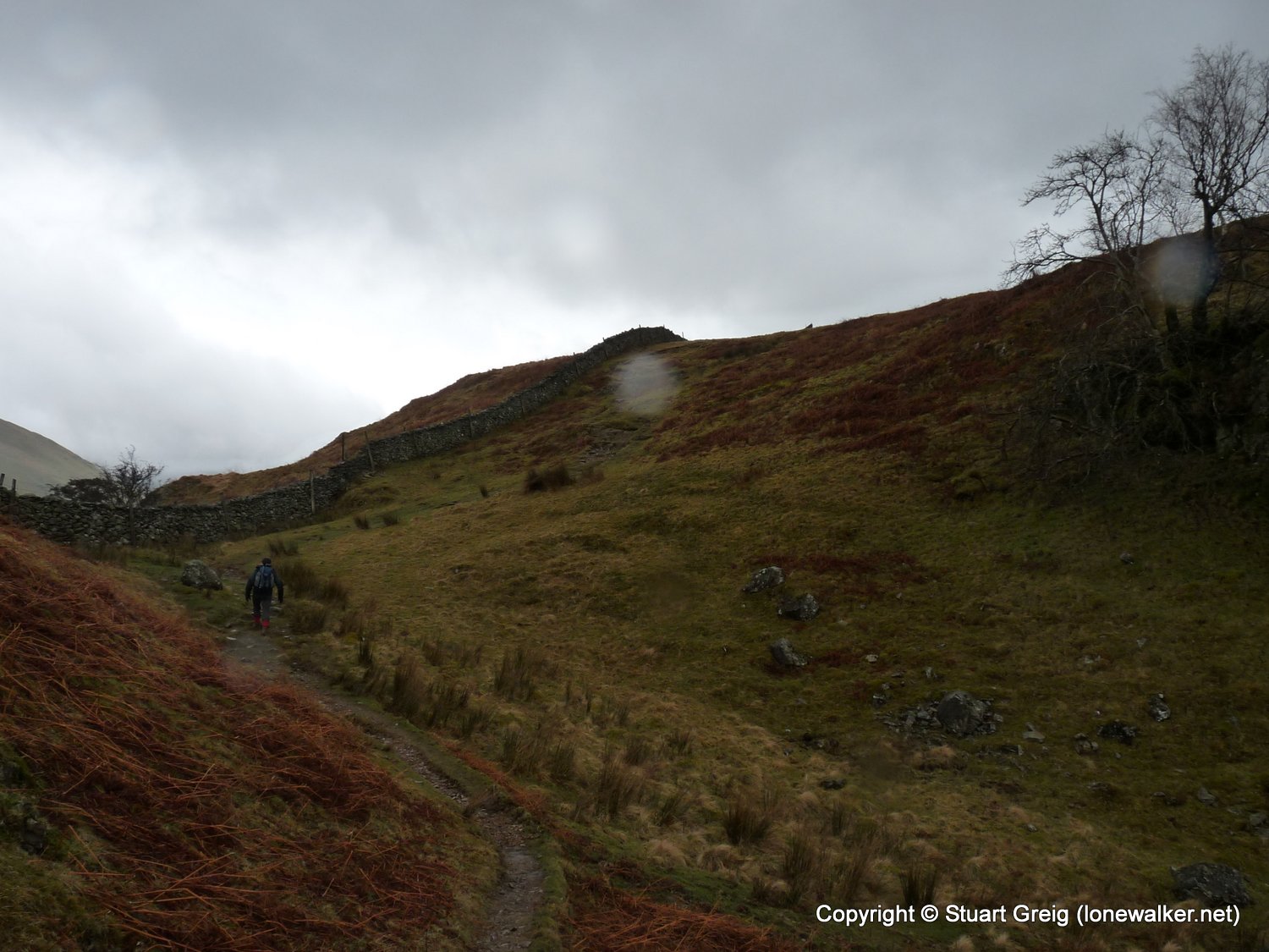
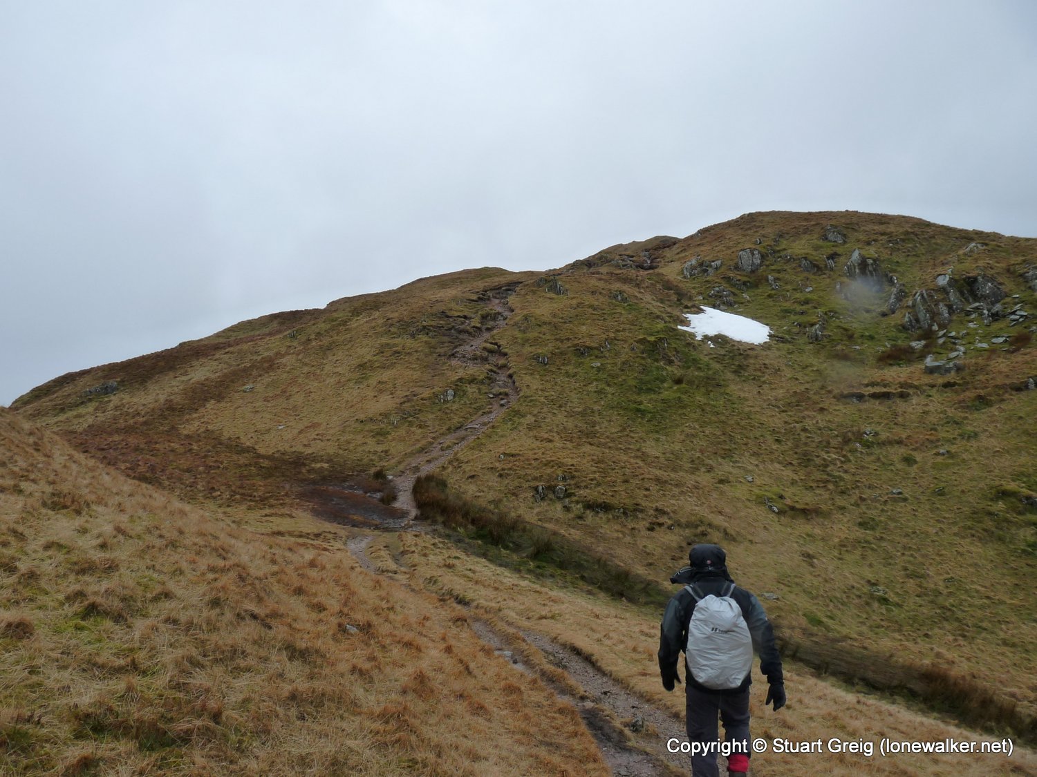
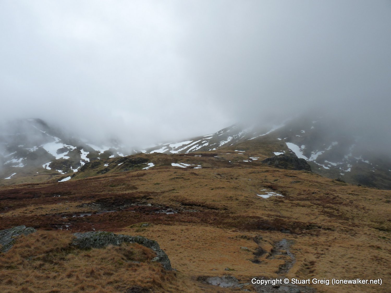
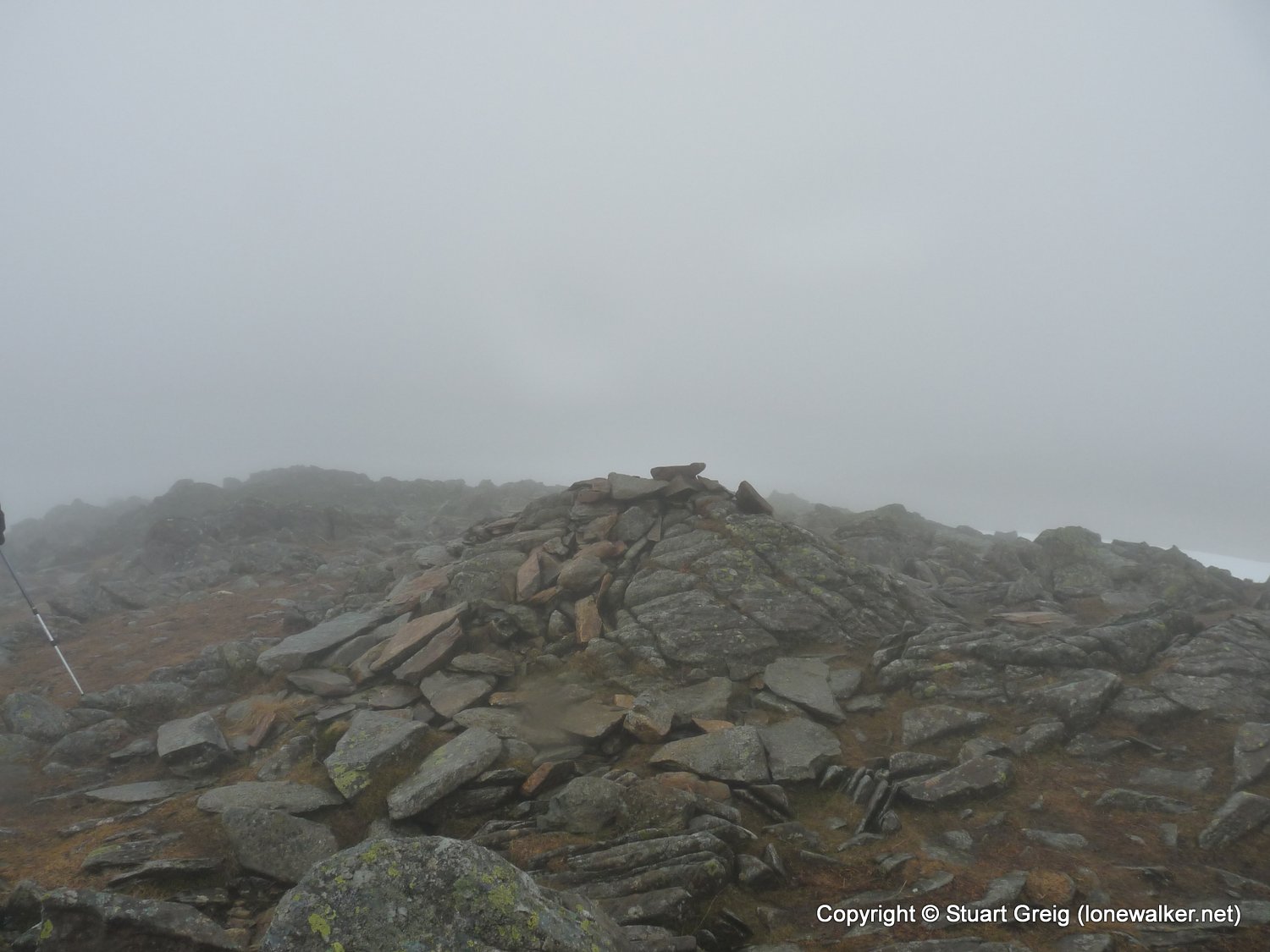
Region: Lake District
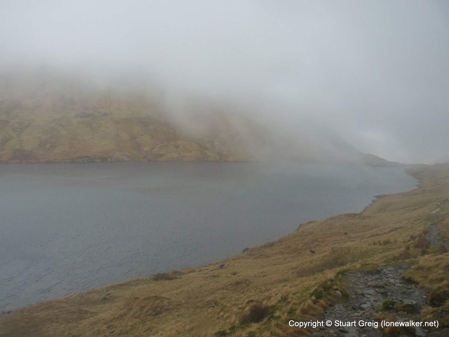
Route Description: Patterdale, Bridgend, Hartsop Above How, Hart Crag, Fairfield, Grisedale Tarn, Grisedale, Patterdale
Parking Grid Ref: NY 39702 15820
View Parking space in: OS Map or Google Street View
Walking with: Rob Powell
Long Distance Path:
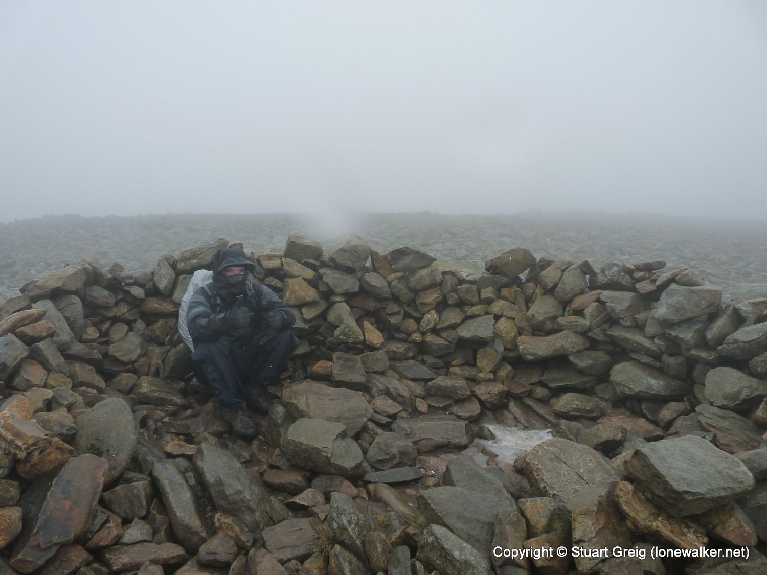
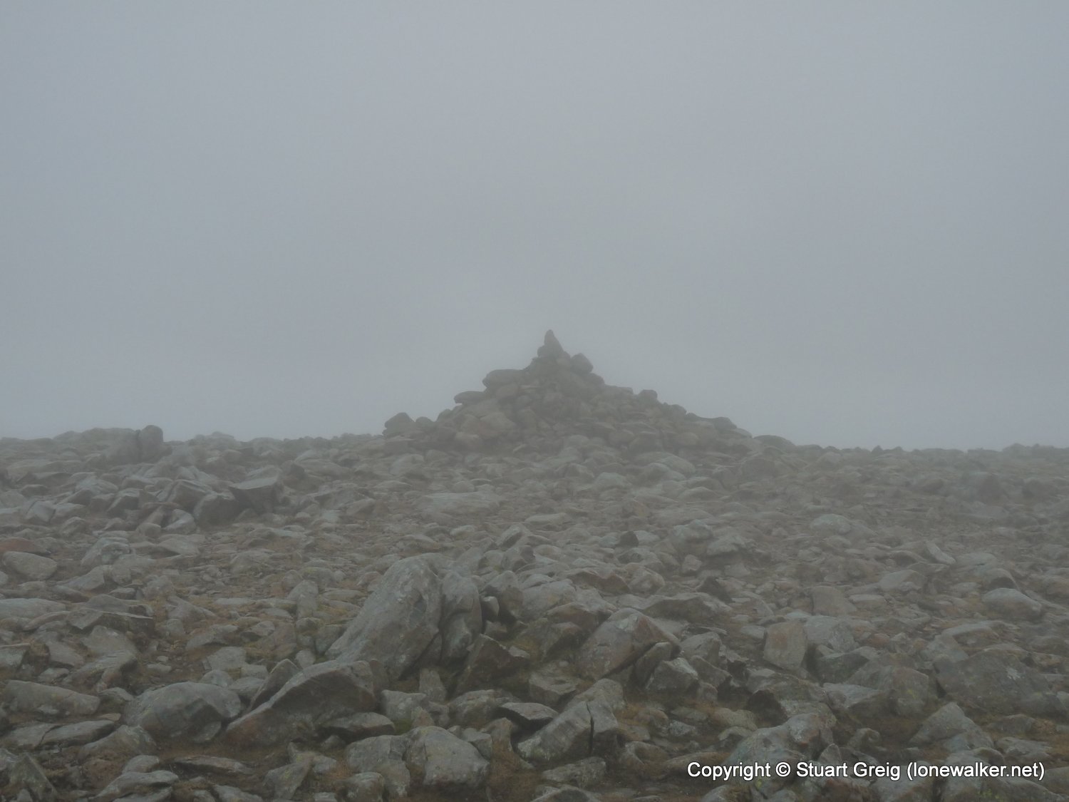
2521 - Fairfield (2865 ft)
2529 - Hart Crag (2700 ft)
2578 - Hartsop Above How [Gill Crag - Hartsop Above How] (1923 ft)
3834 - Gale Crag (1680 ft)
Click any image to open the full screen photo gallery


Walk Name: Ingleborough & Park Fell
Date: 2009-02-14
Distance: 11.0 mls, 17.70 km
Height Gain: 2200 ft, 670.6 m
Walk Name: Kinder Downfall
Date: 2009-03-16
Distance: 9.0 mls, 14.48 km
Height Gain: 2000 ft, 609.6 m