
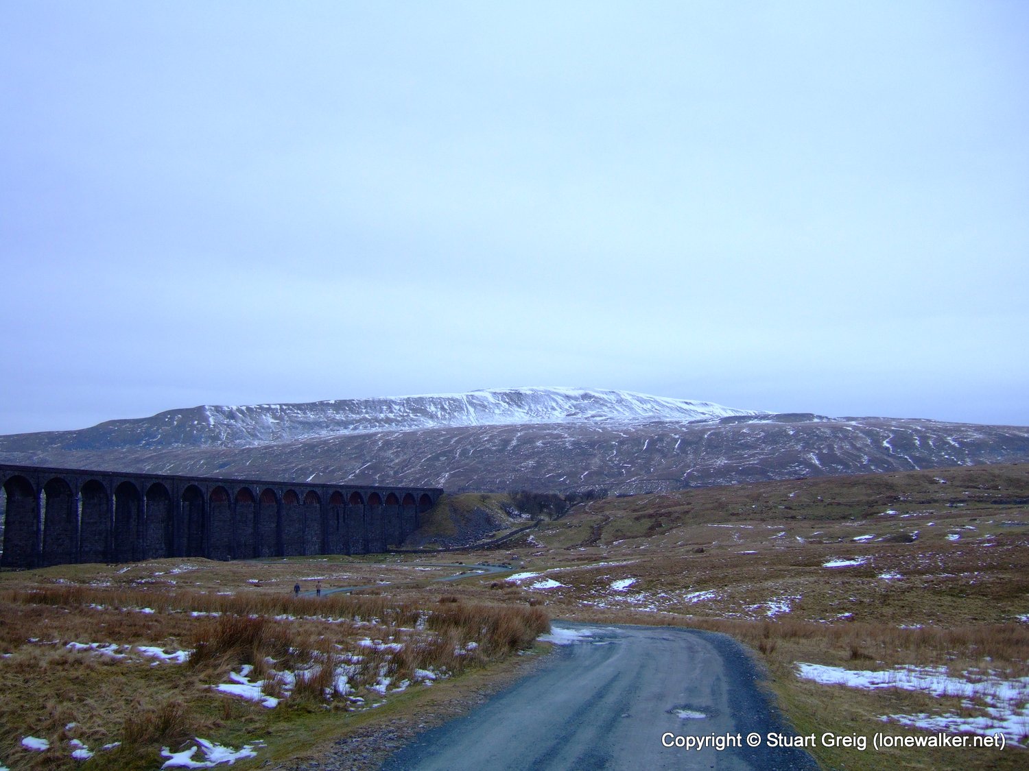
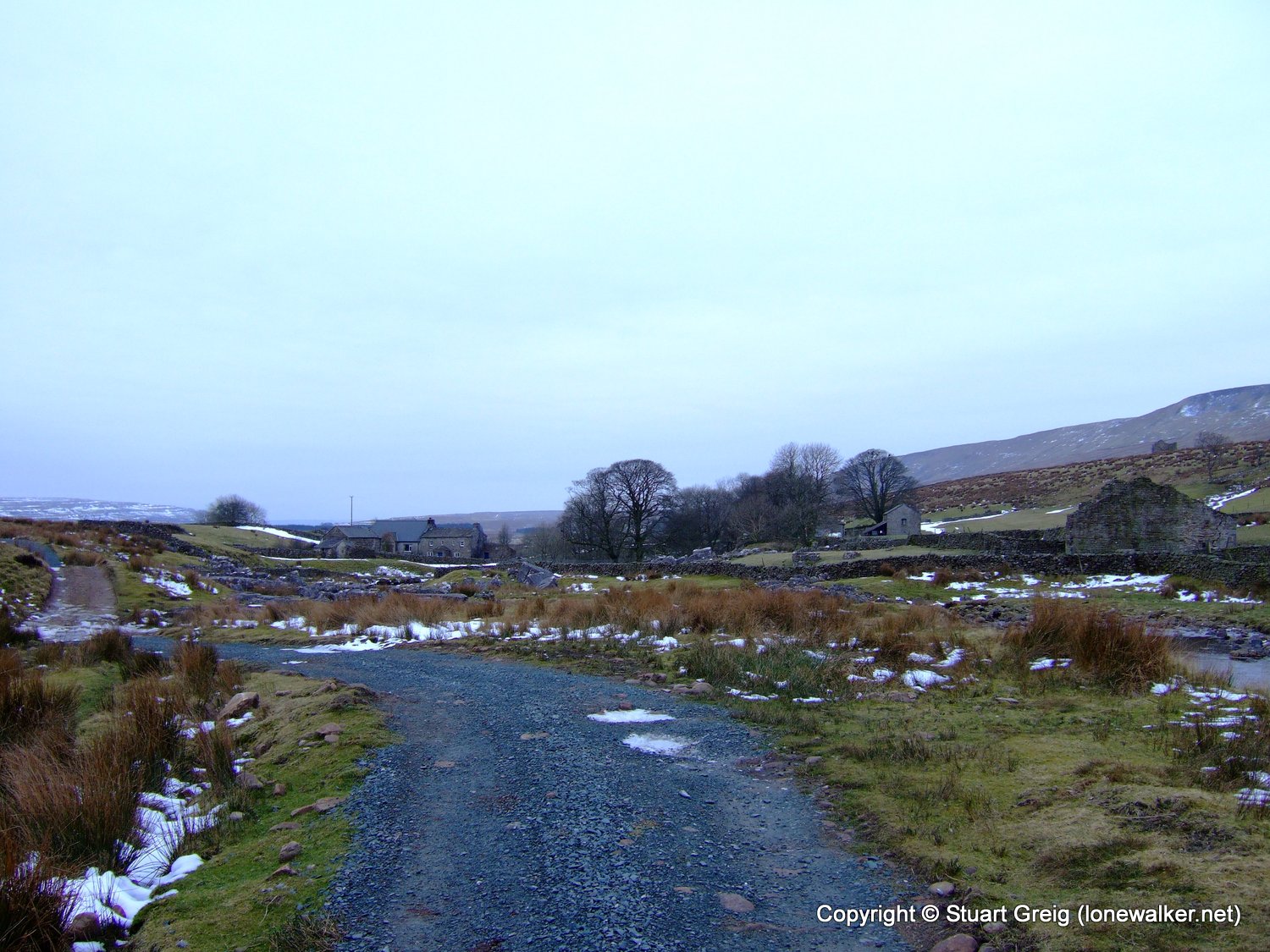
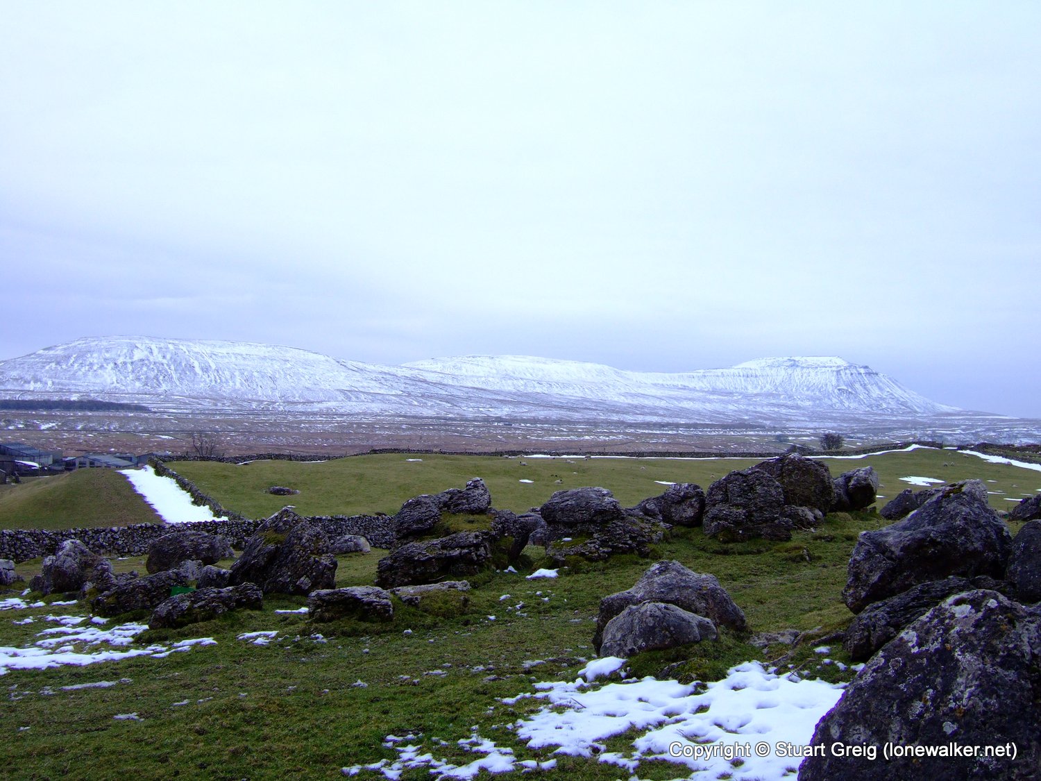
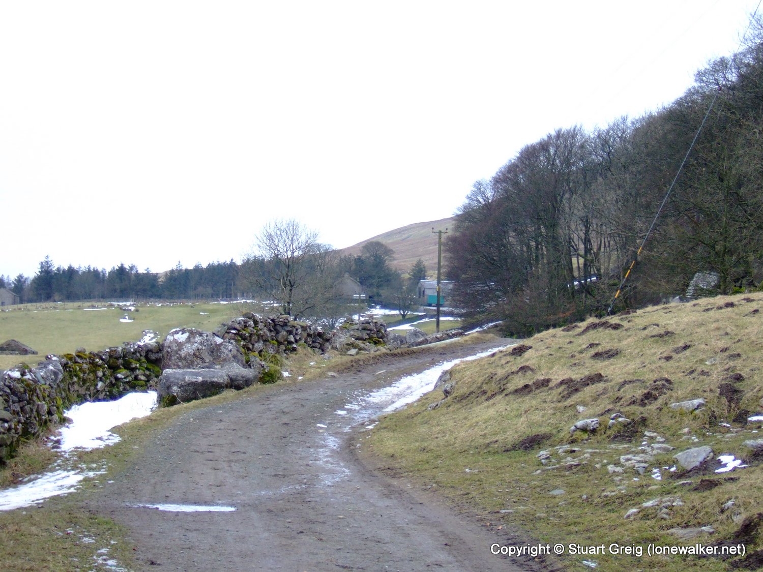
Date: 2009-02-14
Start: Ribblehead Finish: Ribblehead
Distance: 11.0 mls, 17.70 km
Height Gain: 2200 ft, 670.6 m
Start Time: 07:50 End Time: 13:25
Duration: 05:35
Ave Speed: 2.0 mph
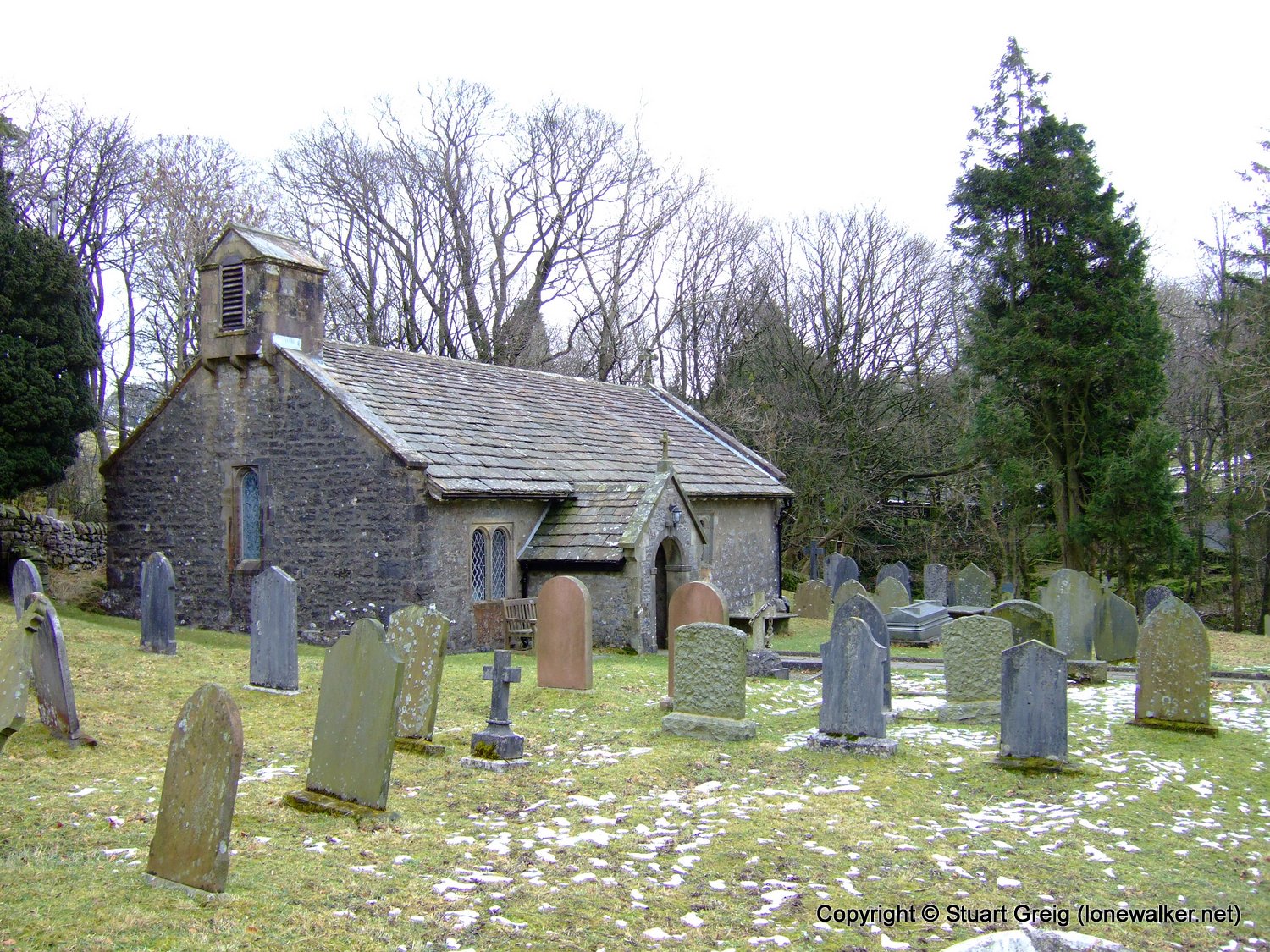
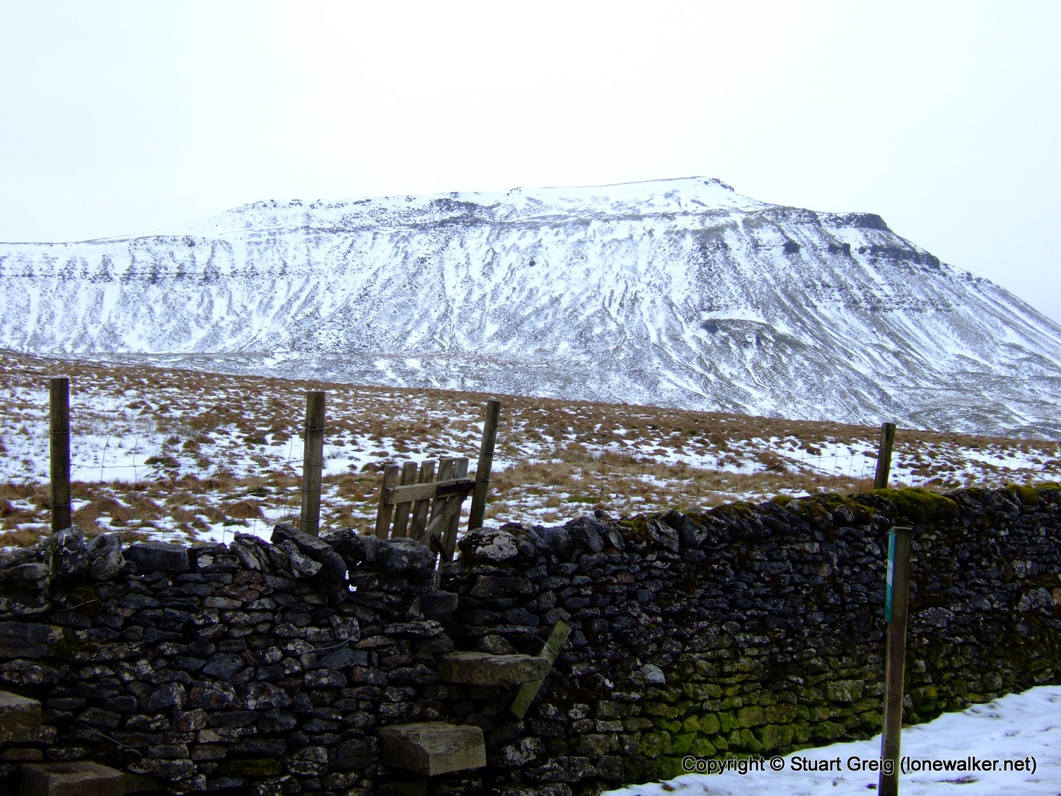
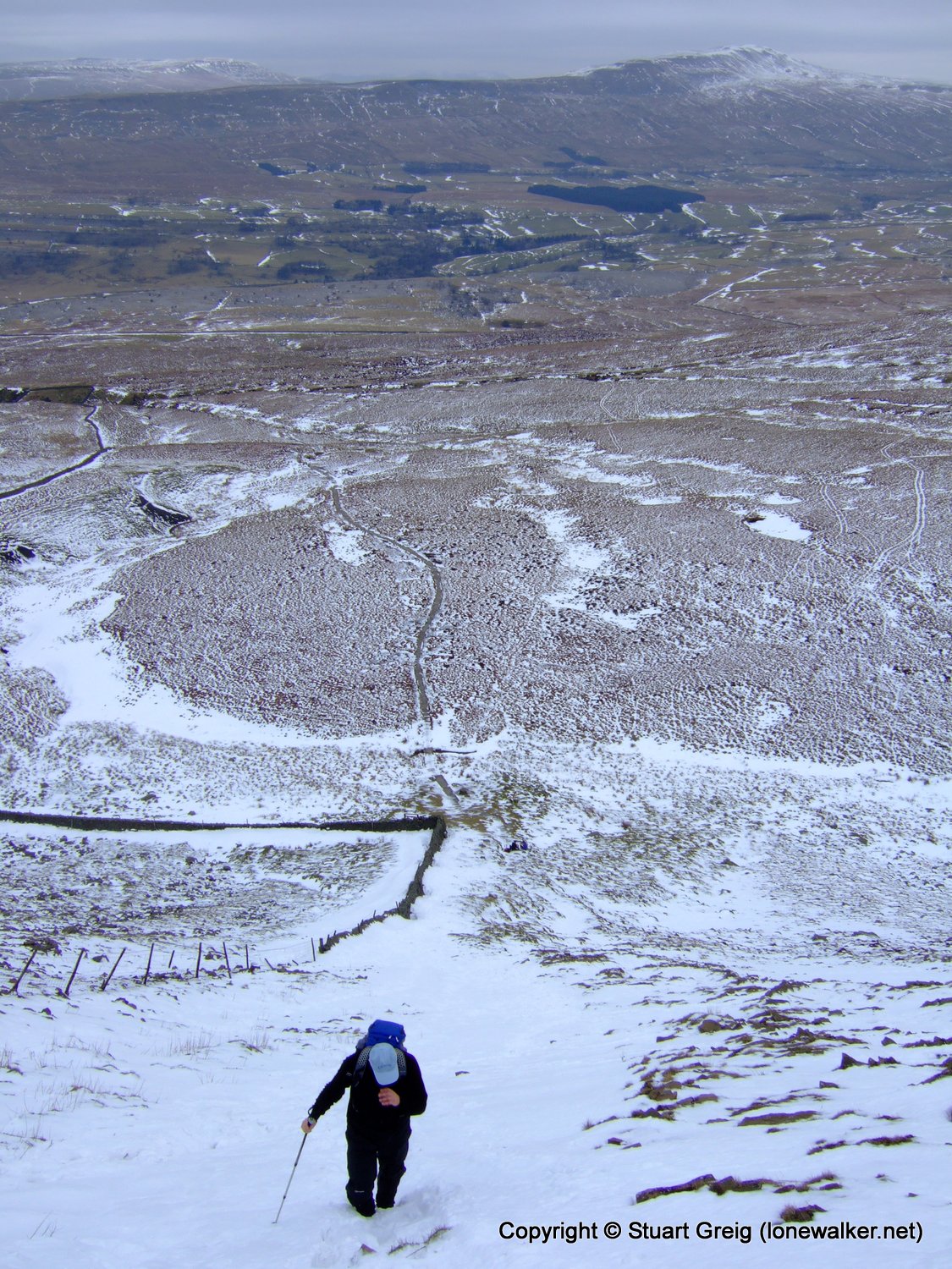
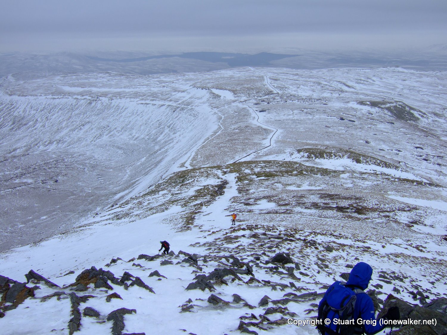
Region: Yorkshire Dales
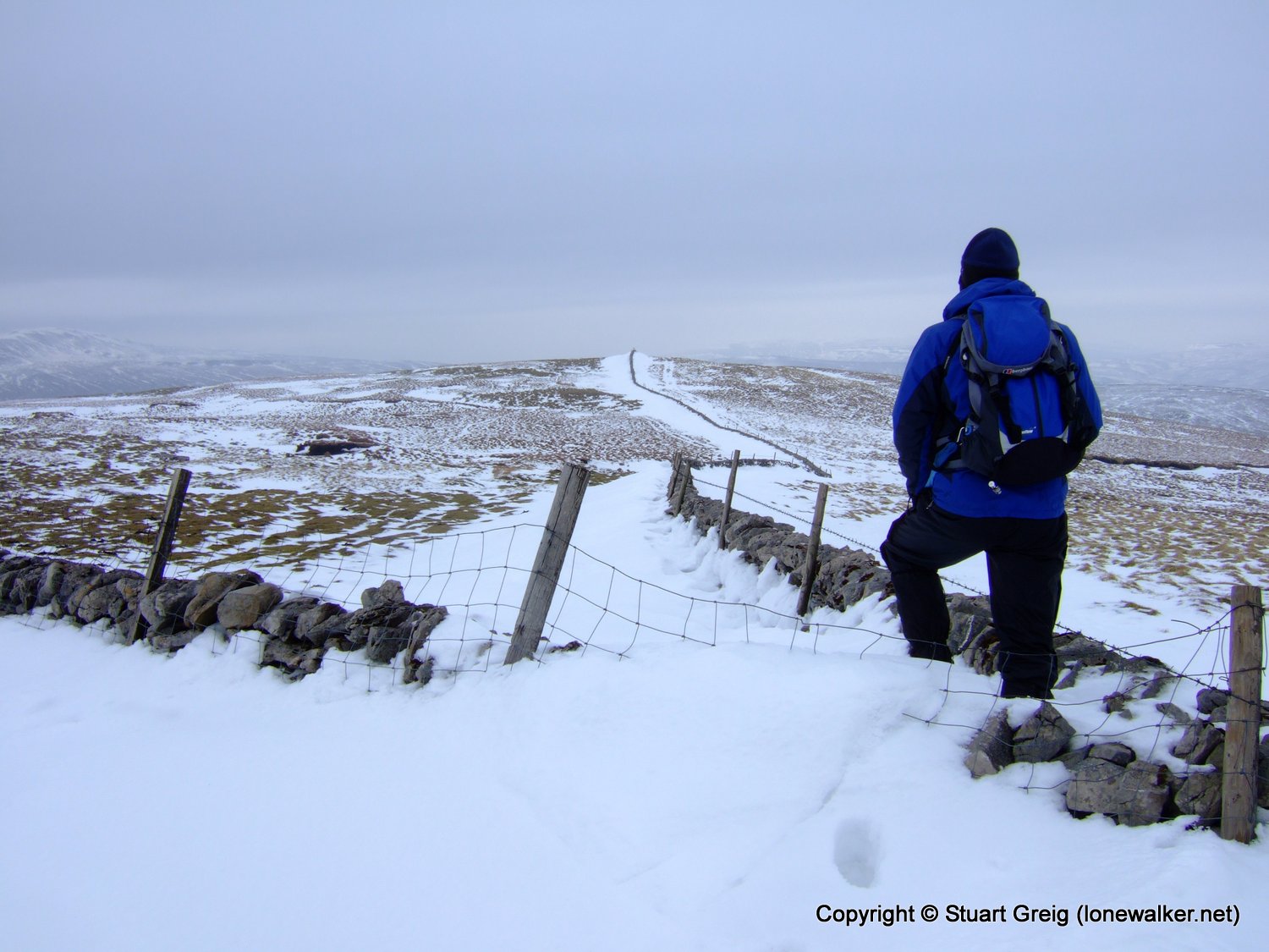
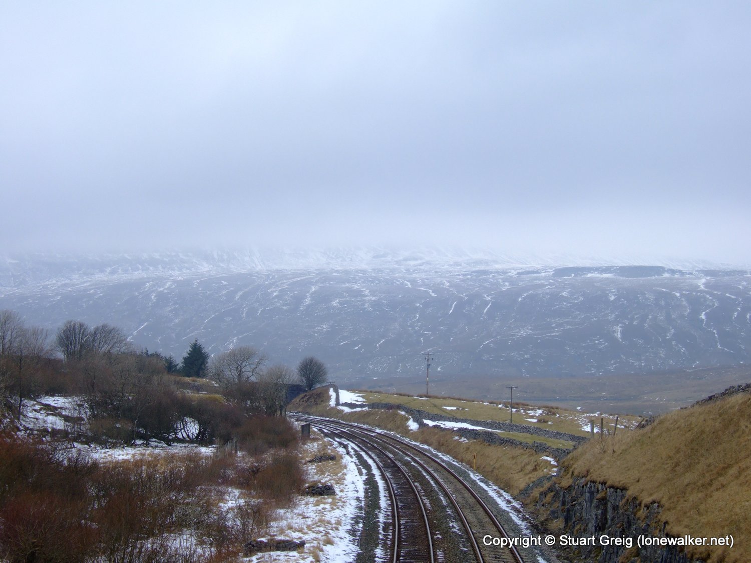
Route Description: Ribblehead, Winter Scales, Bruntscar, Ellerbeck, Chapel-le-Dale, Ingleborough, Simon Fell, Park Fell, Ribblehead
Parking Grid Ref: SD 76564 79294
View Parking space in: OS Map or Google Street View
Walking with: Pete Selwood
Long Distance Path:
2780 - Ingleborough (2373 ft)
2790 - Simon Fell (2129 ft)
3614 - Park Fell (1850 ft)
Click any image to open the full screen photo gallery


Walk Name: Green Bell
Date: 2009-02-07
Distance: 11.0 mls, 17.70 km
Height Gain: 1800 ft, 548.6 m
Walk Name: Fairfield
Date: 2009-02-28
Distance: 11.0 mls, 17.70 km
Height Gain: 3000 ft, 914.4 m