
Date: 2009-04-11
Start: Stainforth Finish: Stainforth
Distance: 11.0 mls, 17.70 km
Height Gain: 2300 ft, 701.0 m
Start Time: 07:59 End Time: 12:41
Duration: 04:42
Ave Speed: 2.3 mph
Region: Yorkshire Dales
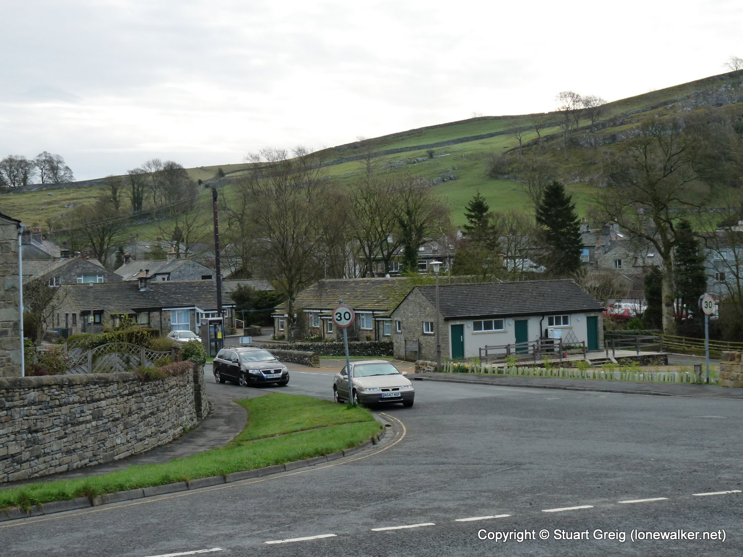
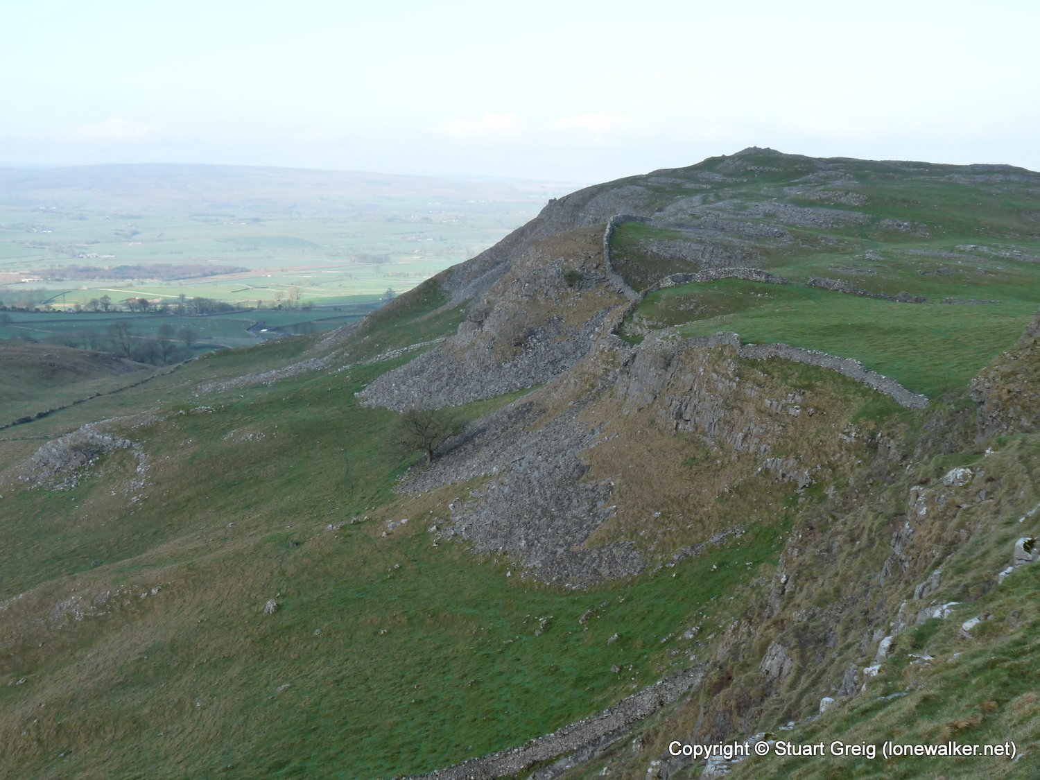
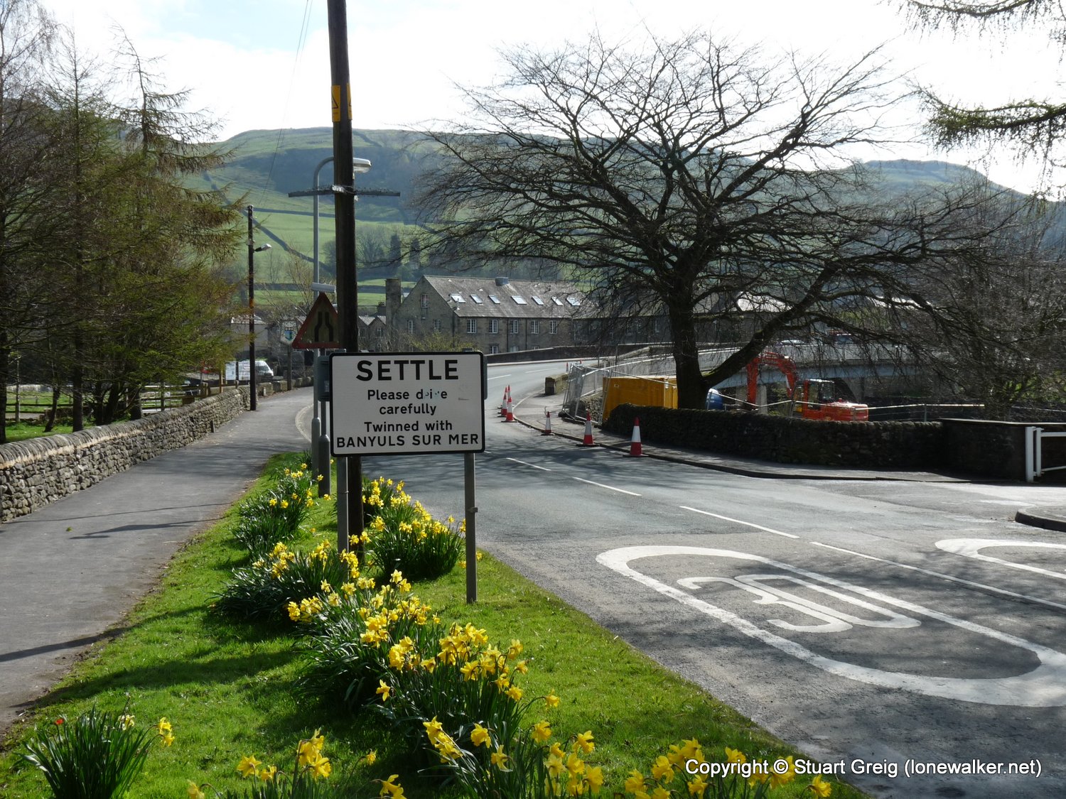
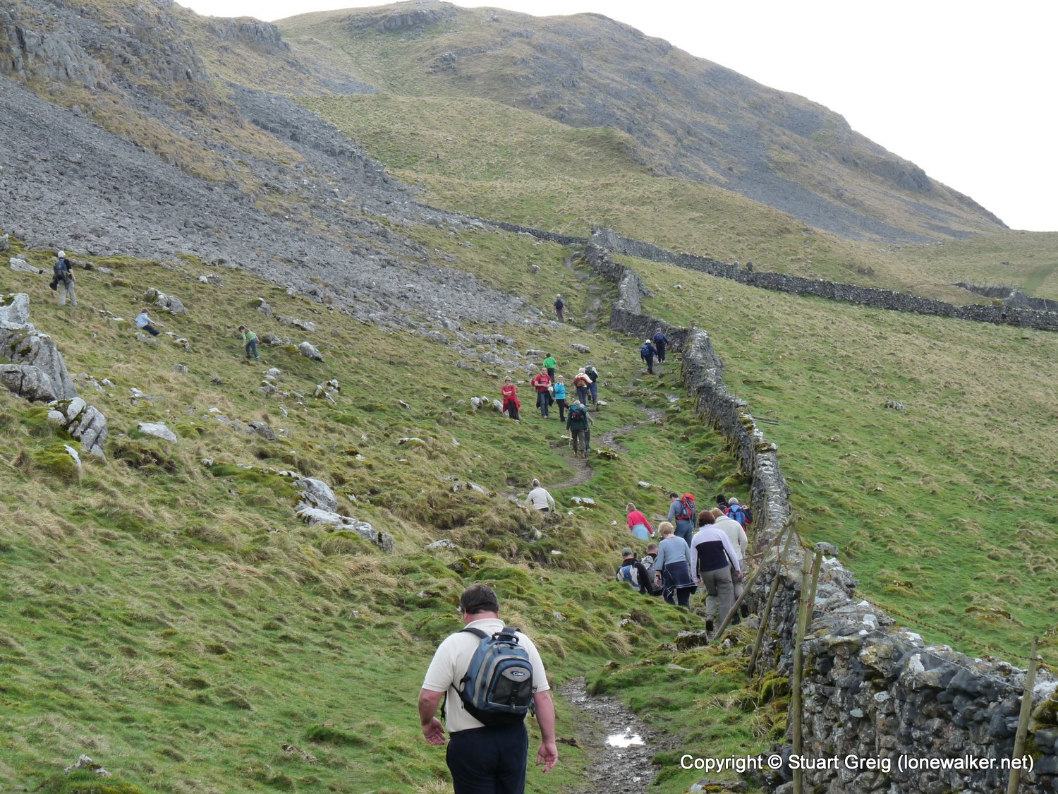
Route Description: Stainforth, Stainforth Force, Smearsett Scar, Pot Scar, Feizor Thwaite, Giggleswick Scar, Settle, Attermore Scar, Winskill Stones, Stainforth
Parking Grid Ref: SD 82064 67298
View Parking space in: OS Map or Google Street View
Walking with: Alone
Long Distance Path:
Link to full Walk Report: https://lonewalker.net/walk-report-attermire-scar/
Download GPX file for this walk:
If your browser opens the file directly, right click and "Save As.."
5315 - Smearsett Scar (1191 ft)
TP6033 - Smearsett Scar (Good condition)
Click any image to open the full screen photo gallery


Walk Name: Dovestone Reservoir
Date: 2009-04-09
Distance: 11.0 mls, 17.70 km
Height Gain: 2200 ft, 670.6 m
Walk Name: Cloud & Croker Hill
Date: 2009-04-13
Distance: 16.0 mls, 25.75 km
Height Gain: 2500 ft, 762.0 m