
Another old favourite for me, although I've only done it once before and was beaten back by flooded rivers on a second attempt, but it still holds a fond place in my heart. Part of my training regime for the Coast to Coast which starts in a few short weeks. I don't feel at all fit at the moment - too many walks cut short and too many pies!
Date: 2009-04-09
Start: Dovestone Res Finish: Dovestone Res
Distance: 11.0 mls, 17.70 km
Height Gain: 2200 ft, 670.6 m
Start Time: 07:47 End Time: 12:03
Duration: 04:16
Ave Speed: 2.6 mph
Region: Peak District
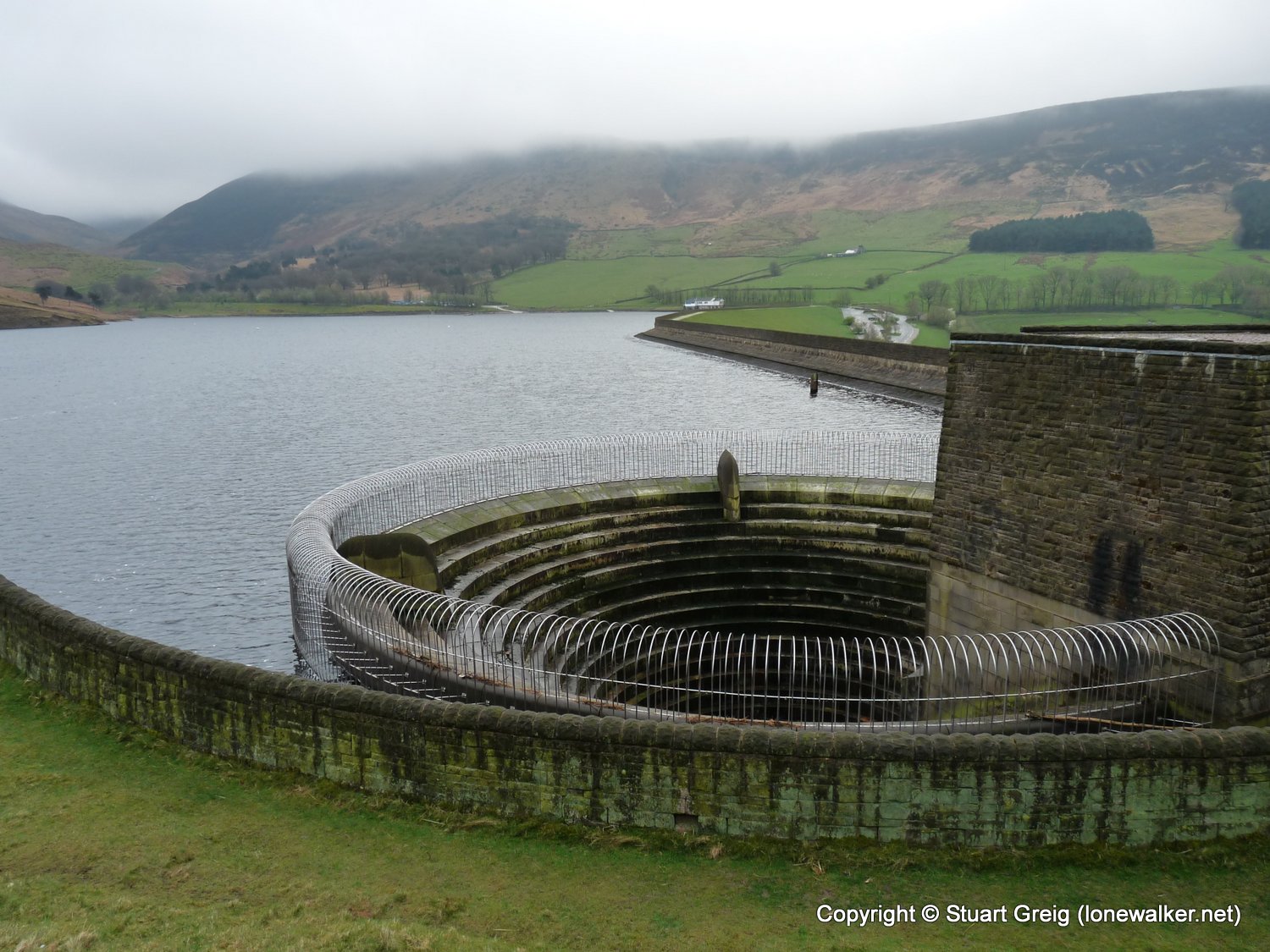
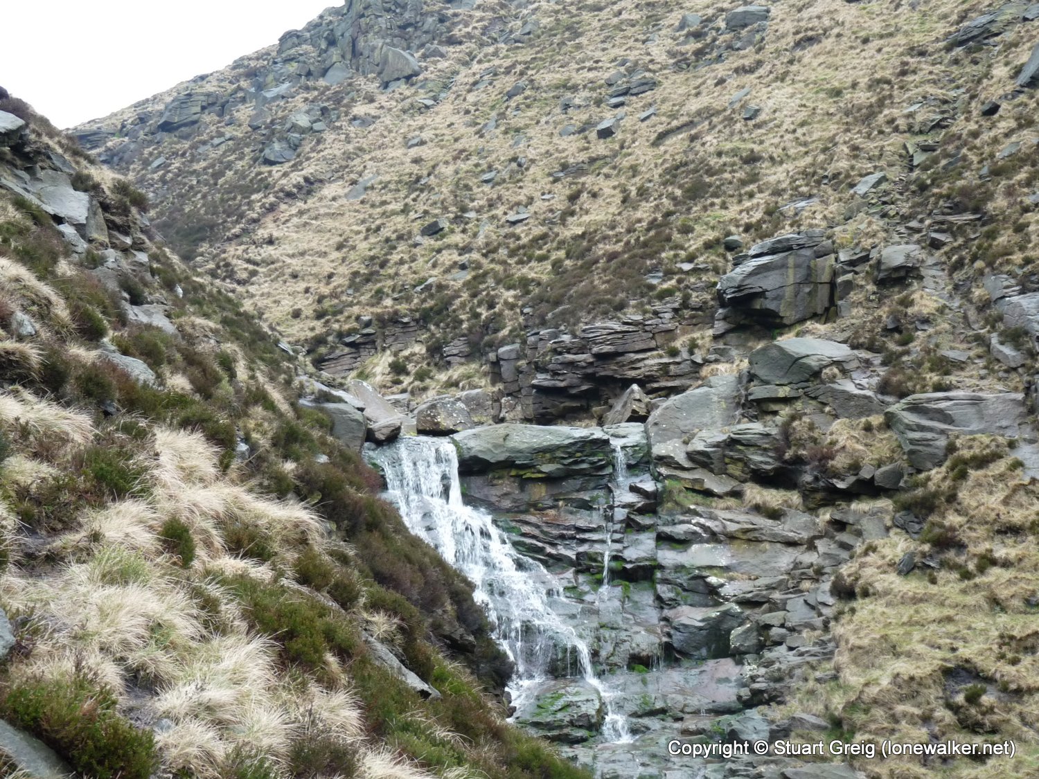
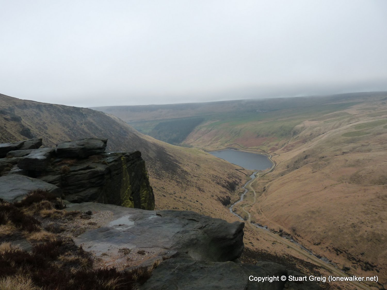
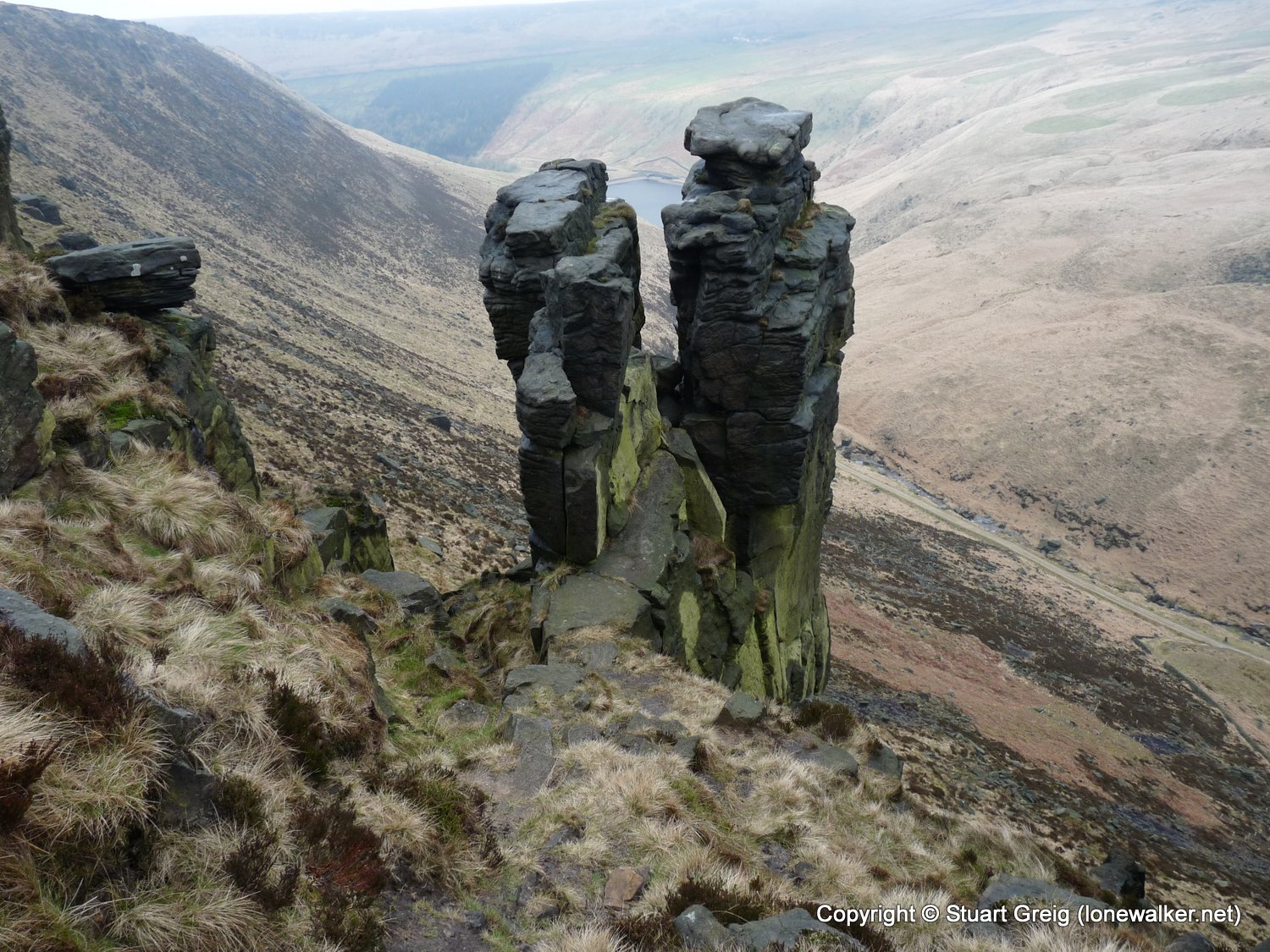
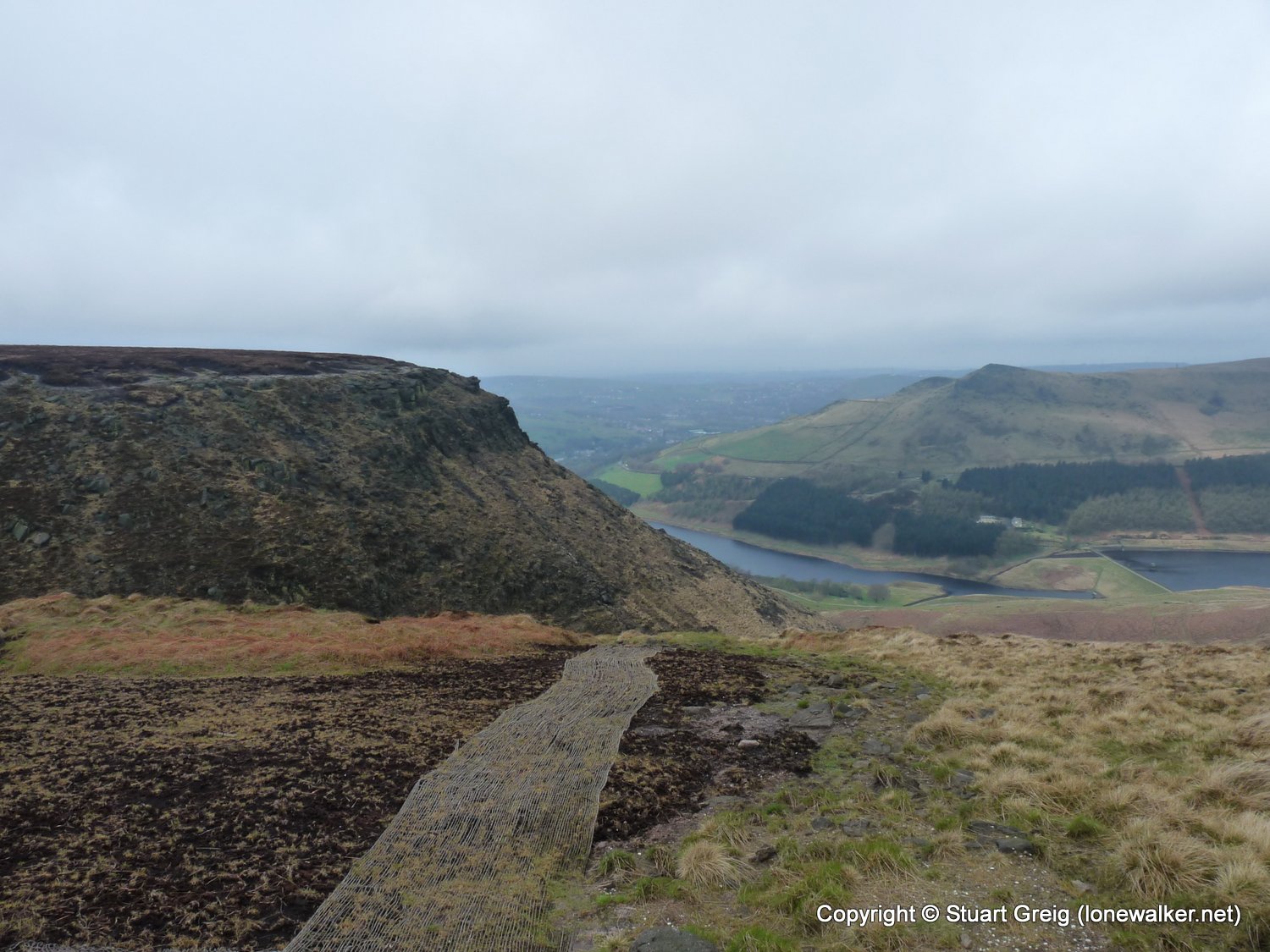
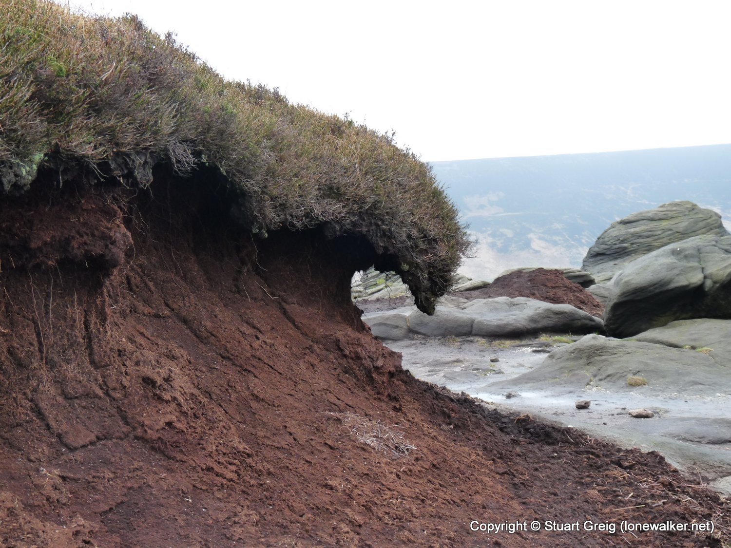
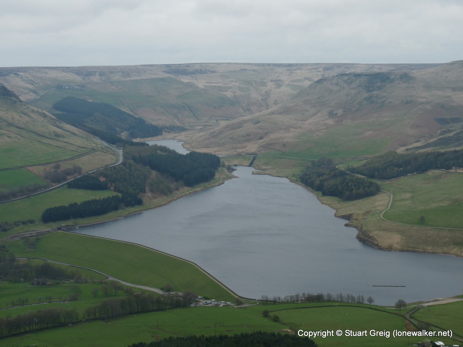
Route Description: Dovestone Res, Yeoman Hey and Greenfield Reservoirs, Greenfield Brook, Birchen Clough, ridge route past Great Dove Stone Rocks, Chew Reservoir, Wimberry Moss, Alphin Pike, Oldham Way, Dovestone Res
Parking Grid Ref: SE 01333 03428
View Parking space in: OS Map or Google Street View
Walking with: Alone
Long Distance Path:
19880 - Alphin Pike (1541 ft)
TP0828 - Alphin Pike (Good condition)
Click any image to open the full screen photo gallery


Walk Name: Shutlingsloe & Shining Tor
Date: 2009-04-04
Distance: 14.0 mls, 22.53 km
Height Gain: 3000 ft, 914.4 m
Walk Name: Attermire Scar
Date: 2009-04-11
Distance: 11.0 mls, 17.70 km
Height Gain: 2300 ft, 701.0 m