
A familiar walk for me - one I could do with my eyes shut or in the worst fog and mist. It doesn't require any prep at all, which is why it's so easy to do at short notice or when I just want to stretch my legs for a long one.
Date: 2009-04-04
Start: Ridgegate Res Finish: Ridgegate Res
Distance: 14.0 mls, 22.53 km
Height Gain: 3000 ft, 914.4 m
Start Time: 07:35 End Time: 12:58
Duration: 05:23
Ave Speed: 2.6 mph
Region: Peak District
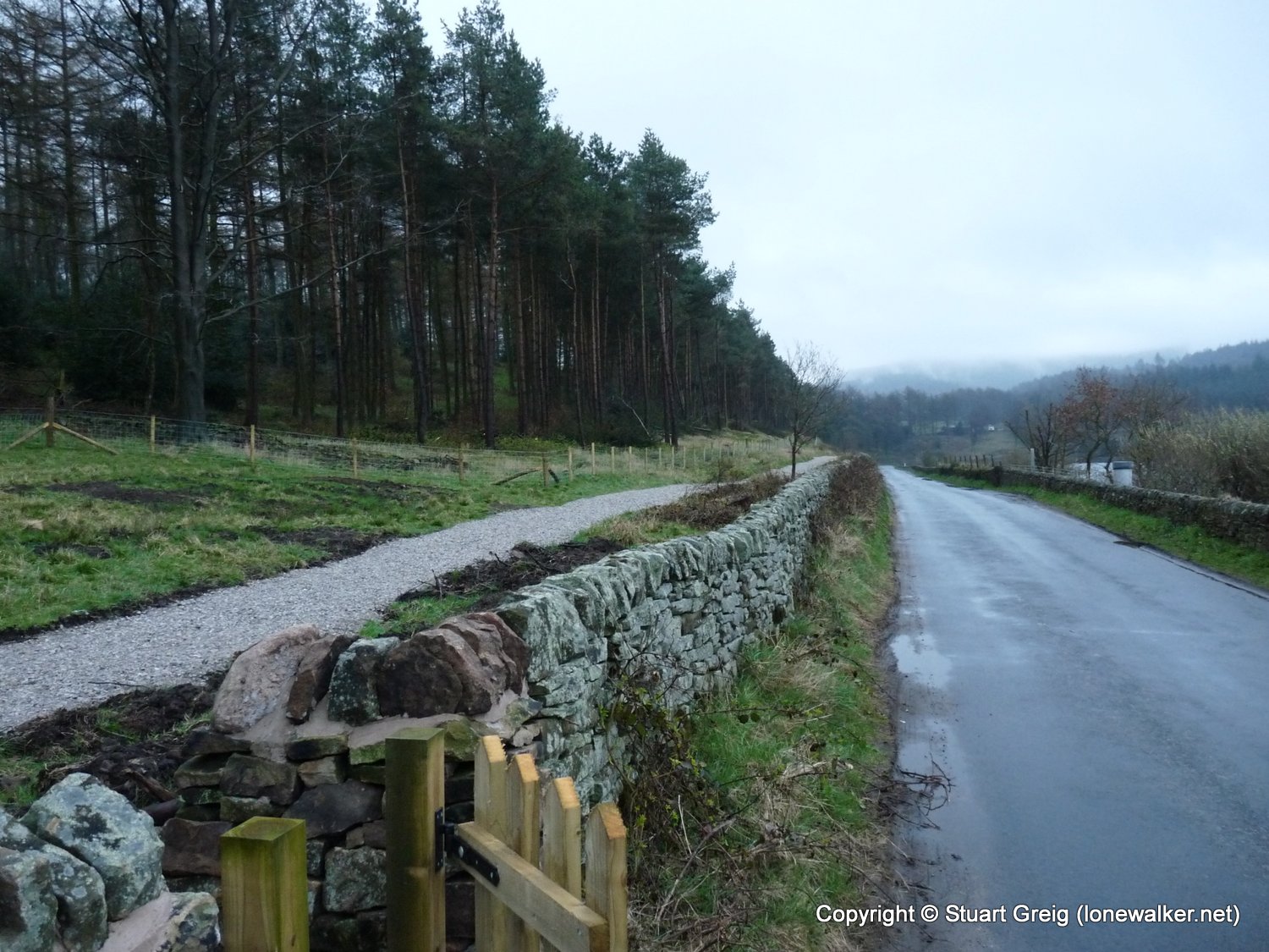
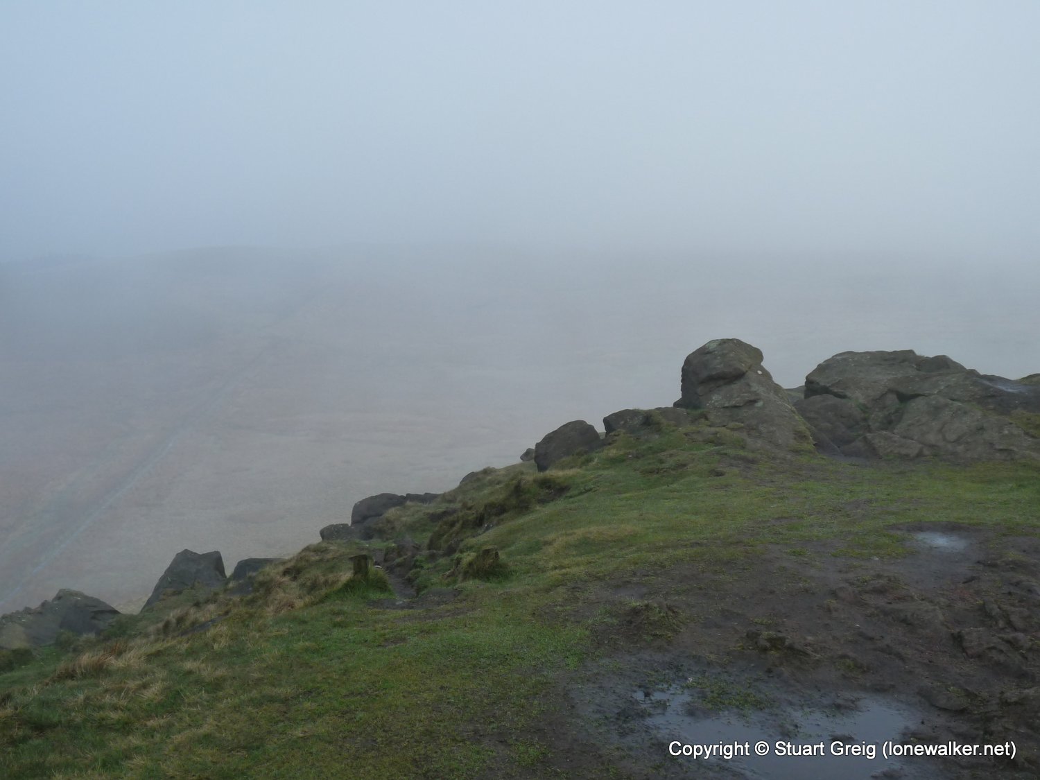
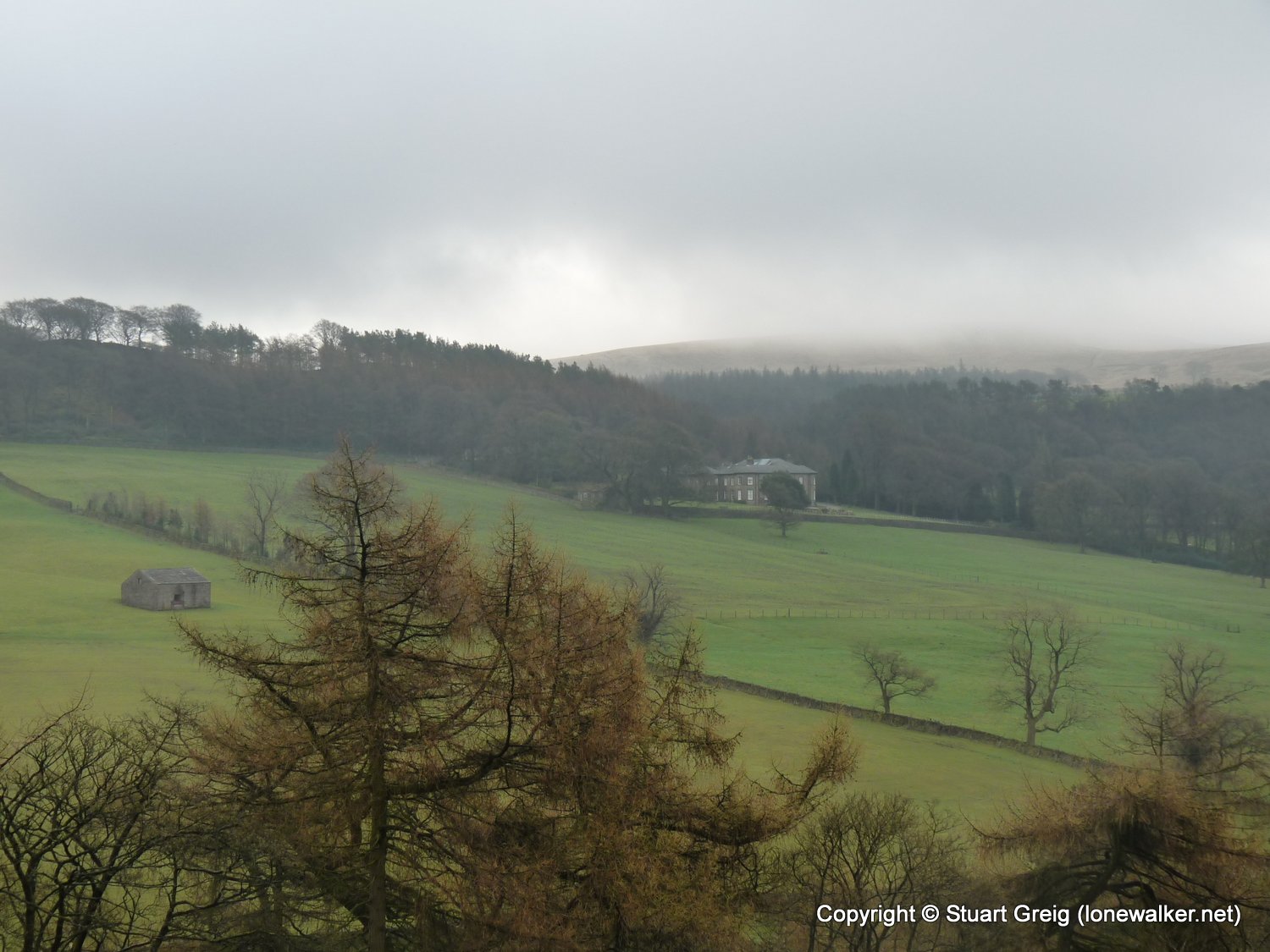
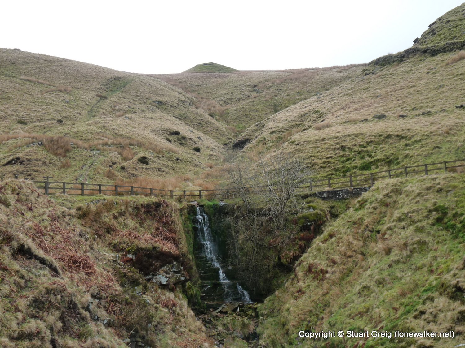
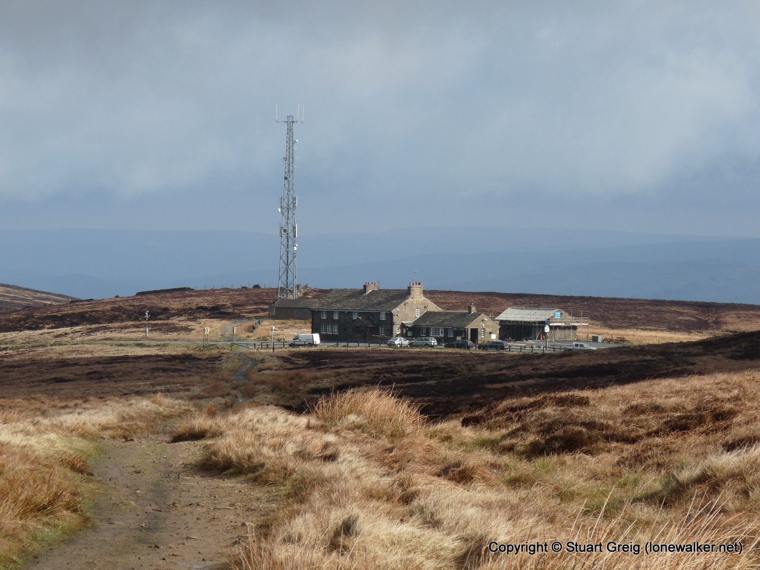
Route Description: Ridgegate Res, Macc Forest, Shutligsloe, Cumberland Brook, Cat & Fiddle, Shining Tor, Lamaload Res, Walker Barn, Macc Forest, Ridgegate Reservoir
Parking Grid Ref: SJ 95315 71502
View Parking space in: OS Map or Google Street View
Walking with: Alone
Long Distance Path:
TP5950 - Shining Tor (Good condition)
TP5970 - Shutlingsloe (Good condition)
TP7177 - Cat and Fiddle (Slightly damaged condition)
Click any image to open the full screen photo gallery


Walk Name: Wansfell
Date: 2009-03-28
Distance: 7.0 mls, 11.27 km
Height Gain: 1500 ft, 457.2 m
Walk Name: Dovestone Reservoir
Date: 2009-04-09
Distance: 11.0 mls, 17.70 km
Height Gain: 2200 ft, 670.6 m