
Today I was doing some research for the Walking Places web site - looking at alternative routes to the Coast to Coast path - actually investigating how navigable Wainwright's original route across Great Asby Scar would be, now that it's all open access. I then used the published route to return to the car.
Date: 2009-05-30
Start: Orton Scar Finish: Orton Scar
Distance: 13.5 mls, 21.73 km
Height Gain: 1400 ft, 426.7 m
Start Time: 07:37 End Time: 12:32
Duration: 04:55
Ave Speed: 2.8 mph
Region: Crosby Ravensworth Fells
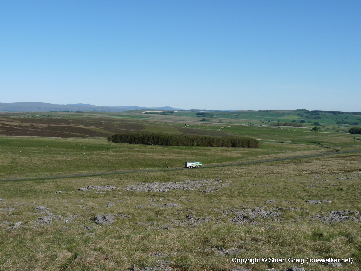
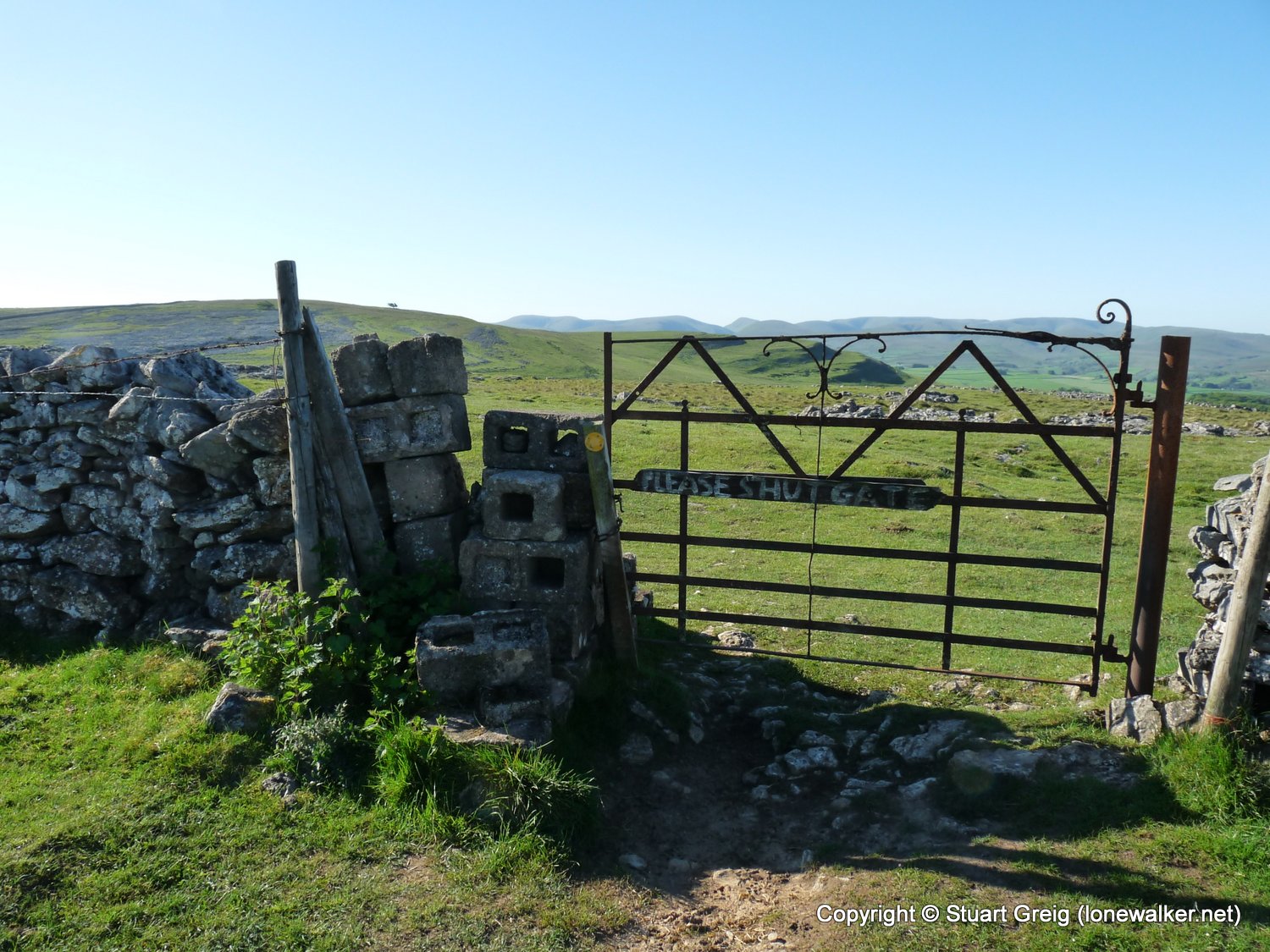
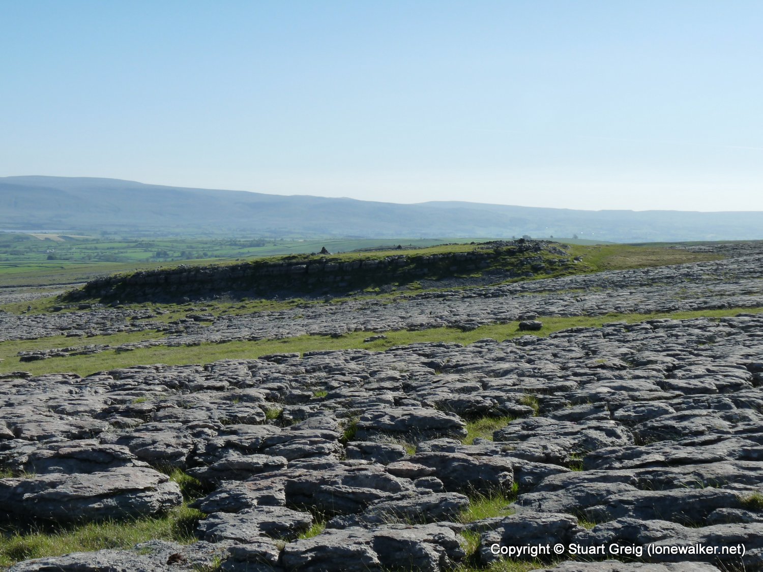
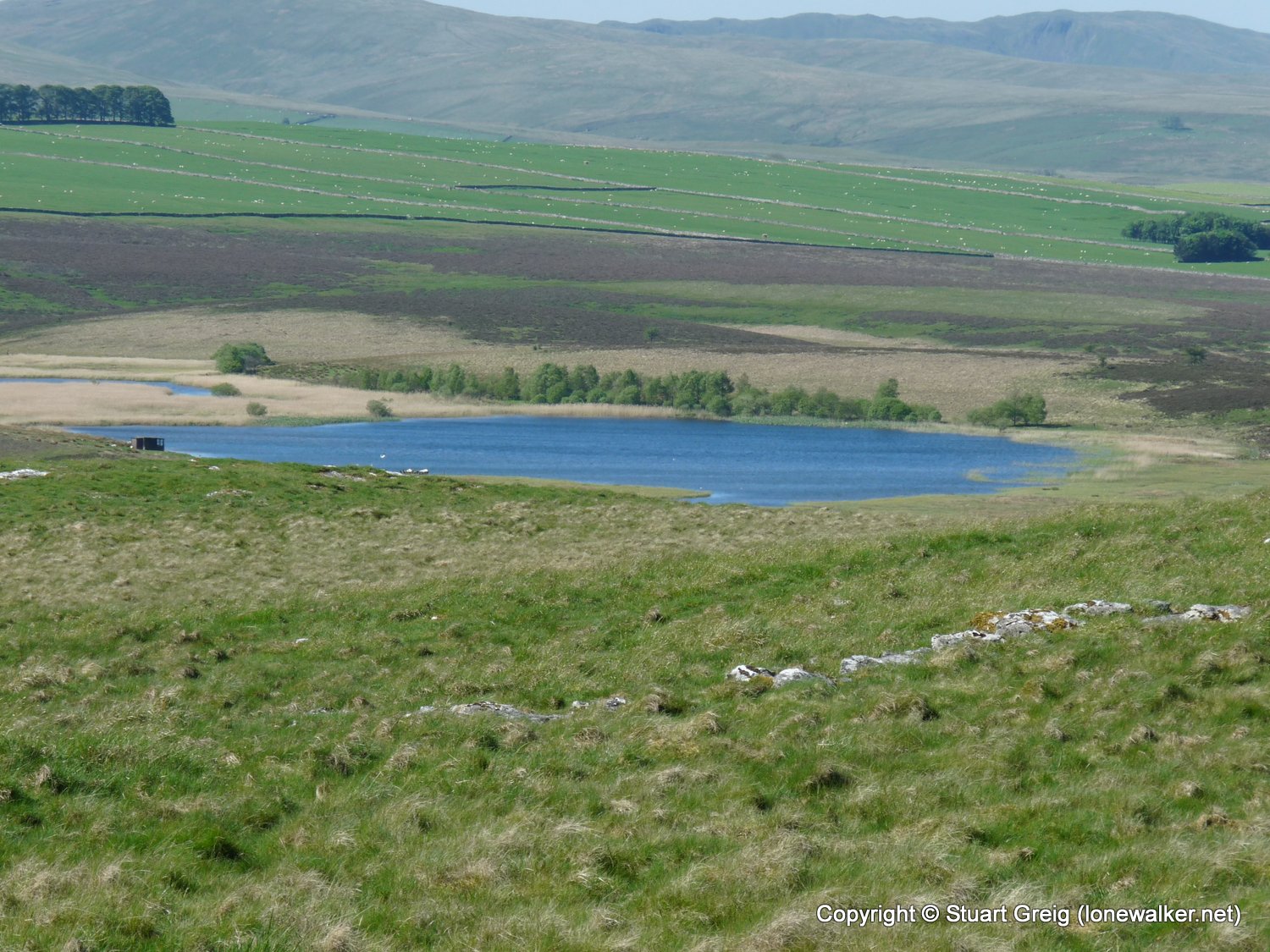
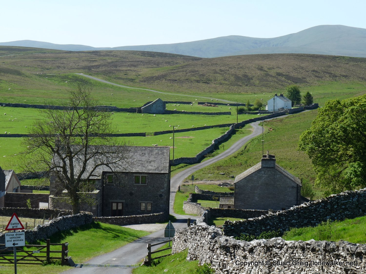
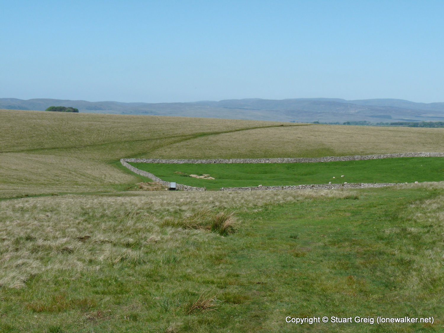
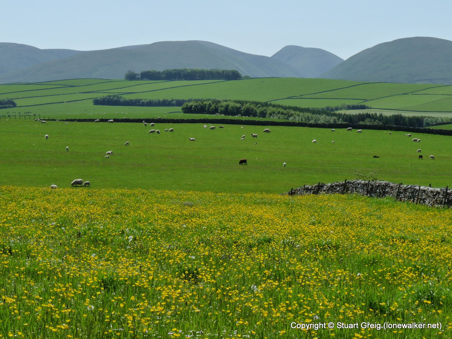
Route Description: Orton Scar, Beacon Hill, Castle Folds, Great Kinmond, Mazon Wath, Ravenstonedale Moor, Sunbiggin, Scar Side, Orton Scar
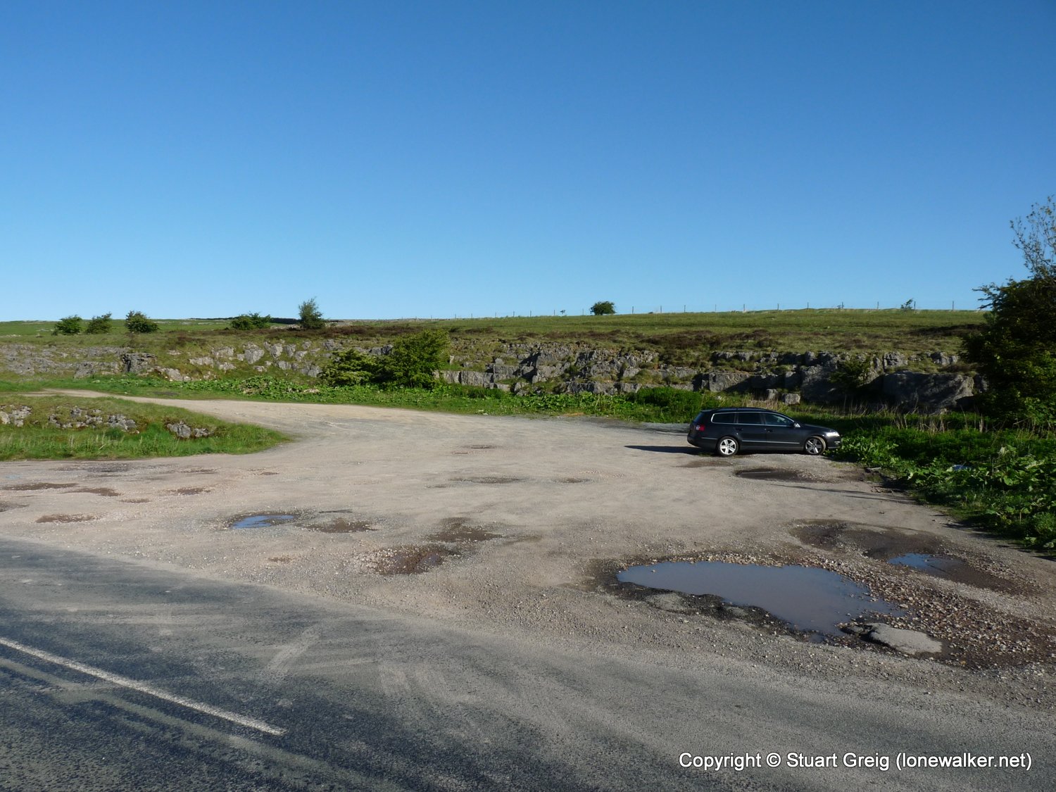
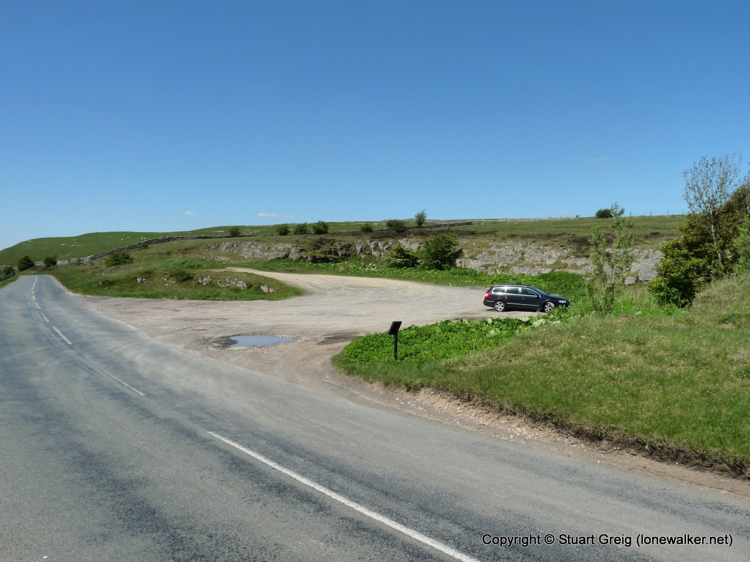
Parking Grid Ref: NY 62800 09900
View Parking space in: OS Map or Google Street View
Walking with: Alone
Long Distance Path:
TP5518 - Powson Knott (Slightly damaged condition)
Click any image to open the full screen photo gallery


Walk Name: Fremington Edge
Date: 2009-05-23
Distance: 13.5 mls, 21.73 km
Height Gain: 1600 ft, 487.7 m
Walk Name: Fair Snape Fell
Date: 2009-06-07
Distance: 11.5 mls, 18.51 km
Height Gain: 1900 ft, 579.1 m