
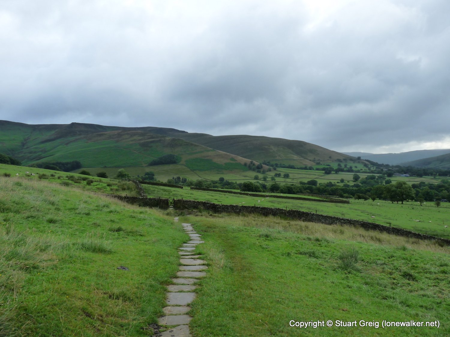
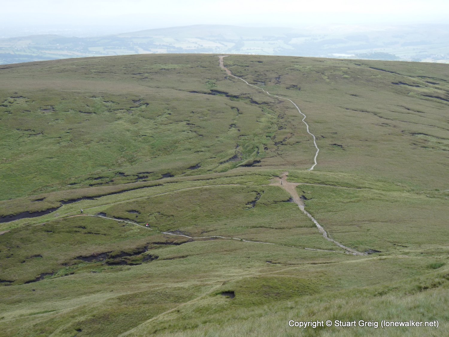
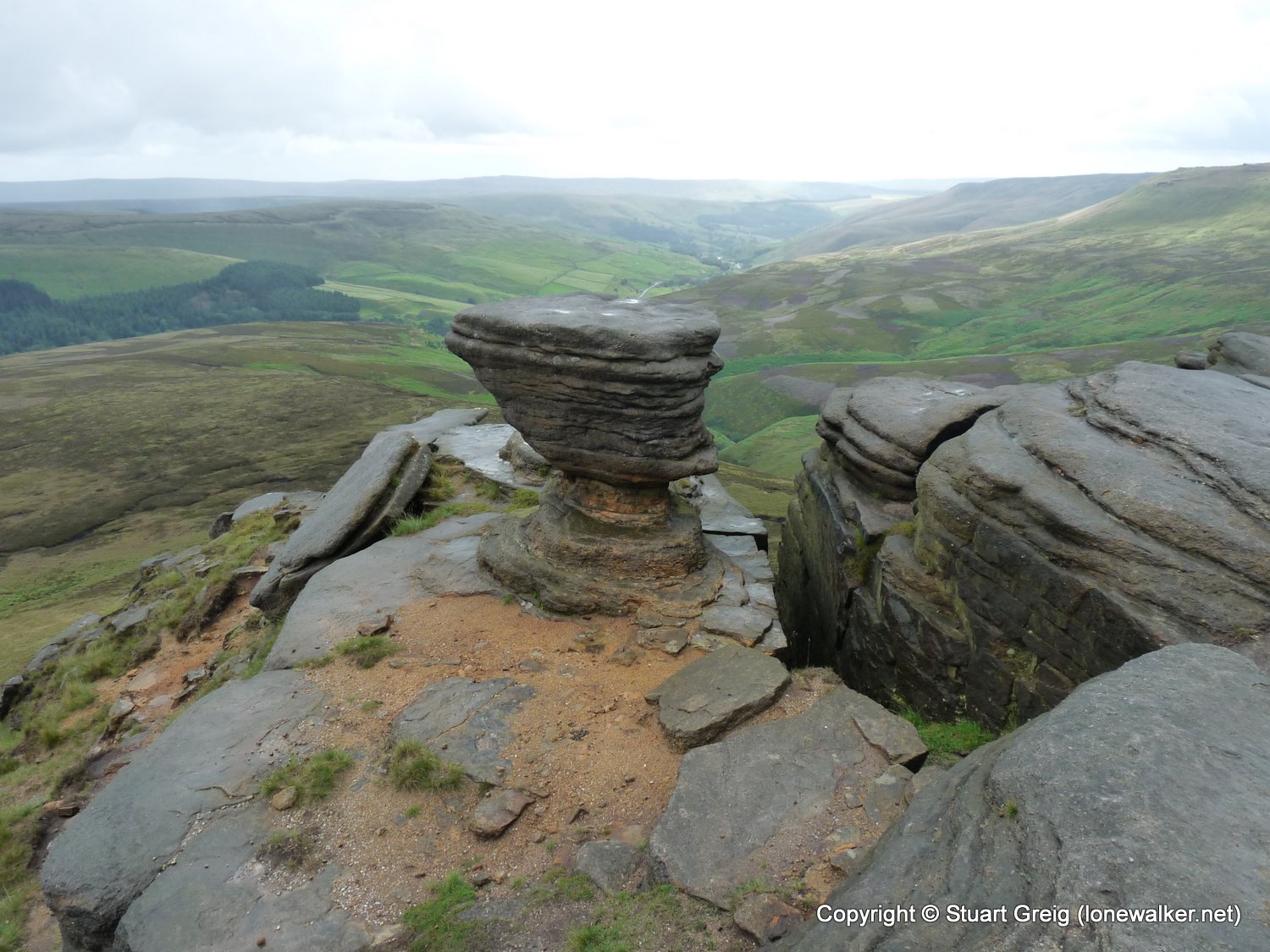
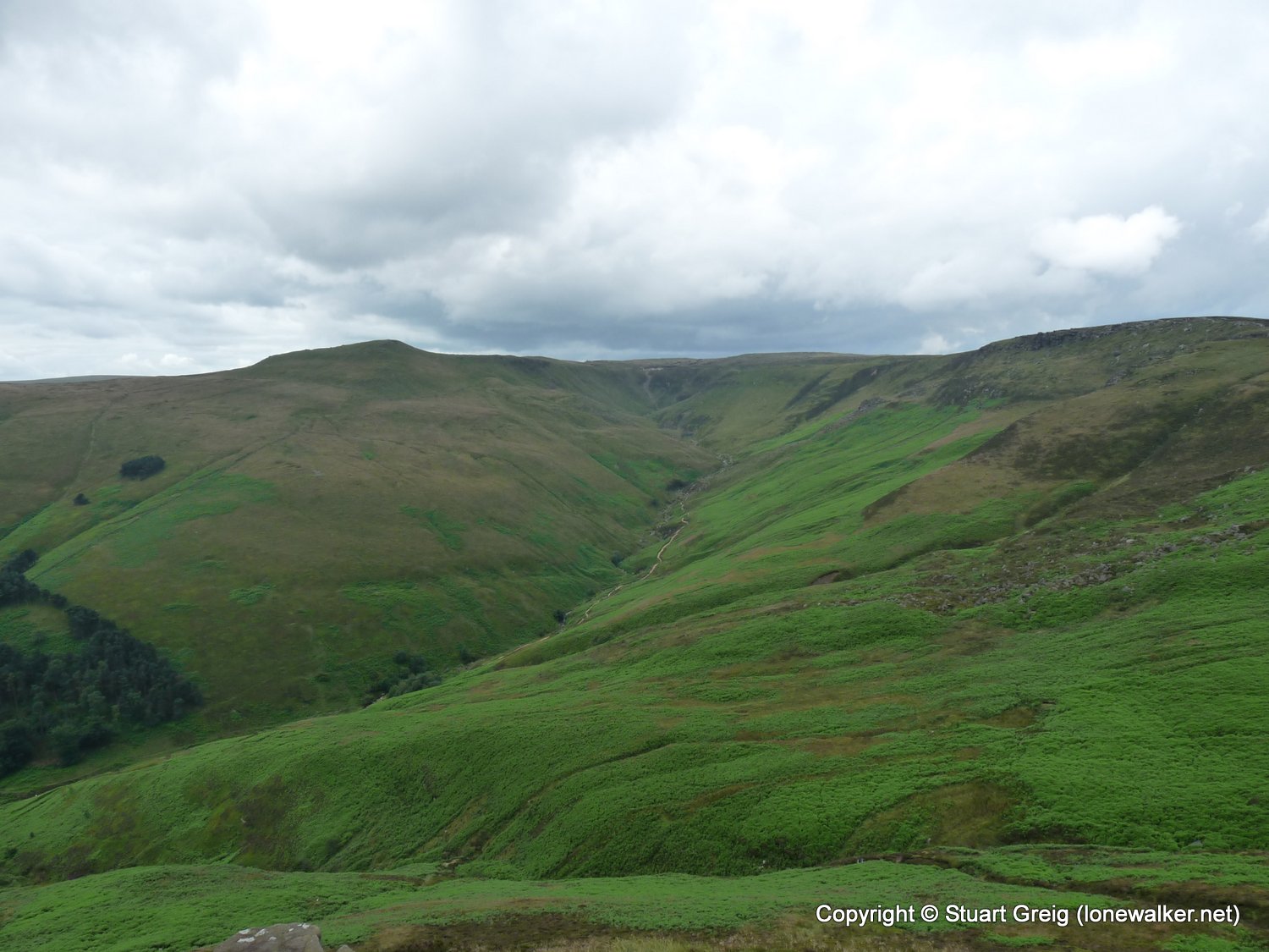
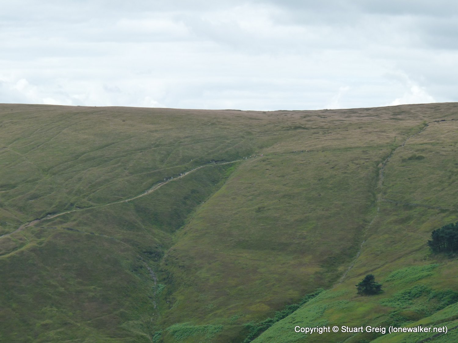
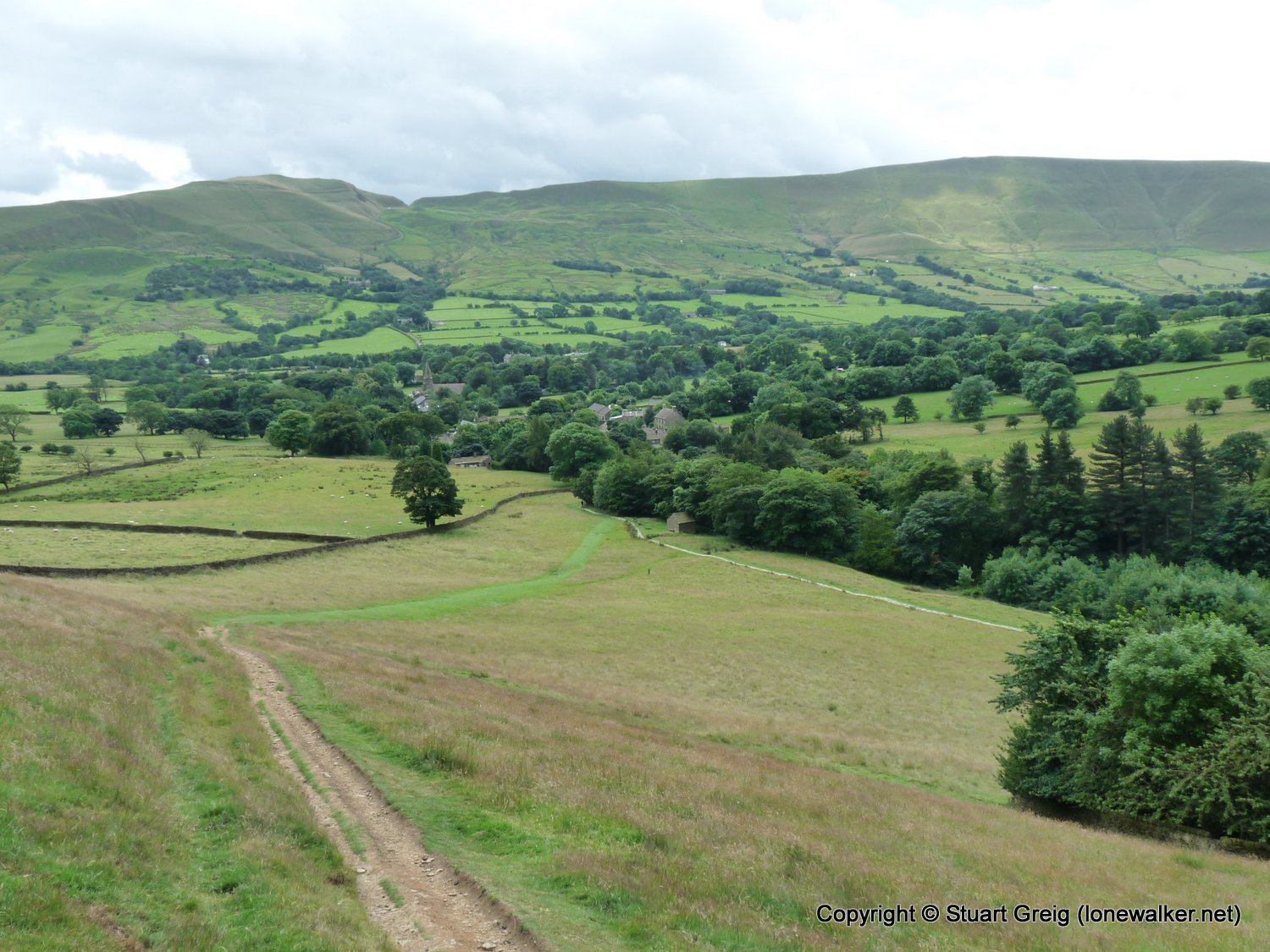
I've always wondered what the "other side" of the Kinder plateau looked like. I've done loads of walks on the south side, but never walked on the north side, along Seal Edge - so today I remedied that and plotted a route around the whole plateau.
Date: 2009-07-12
Start: Edale Village Finish: Edale Village
Distance: 13.5 mls, 21.73 km
Height Gain: 2800 ft, 853.4 m
Start Time: 07:08 End Time: 13:12
Duration: 06:04
Ave Speed: 2.2 mph
Region: Peak District
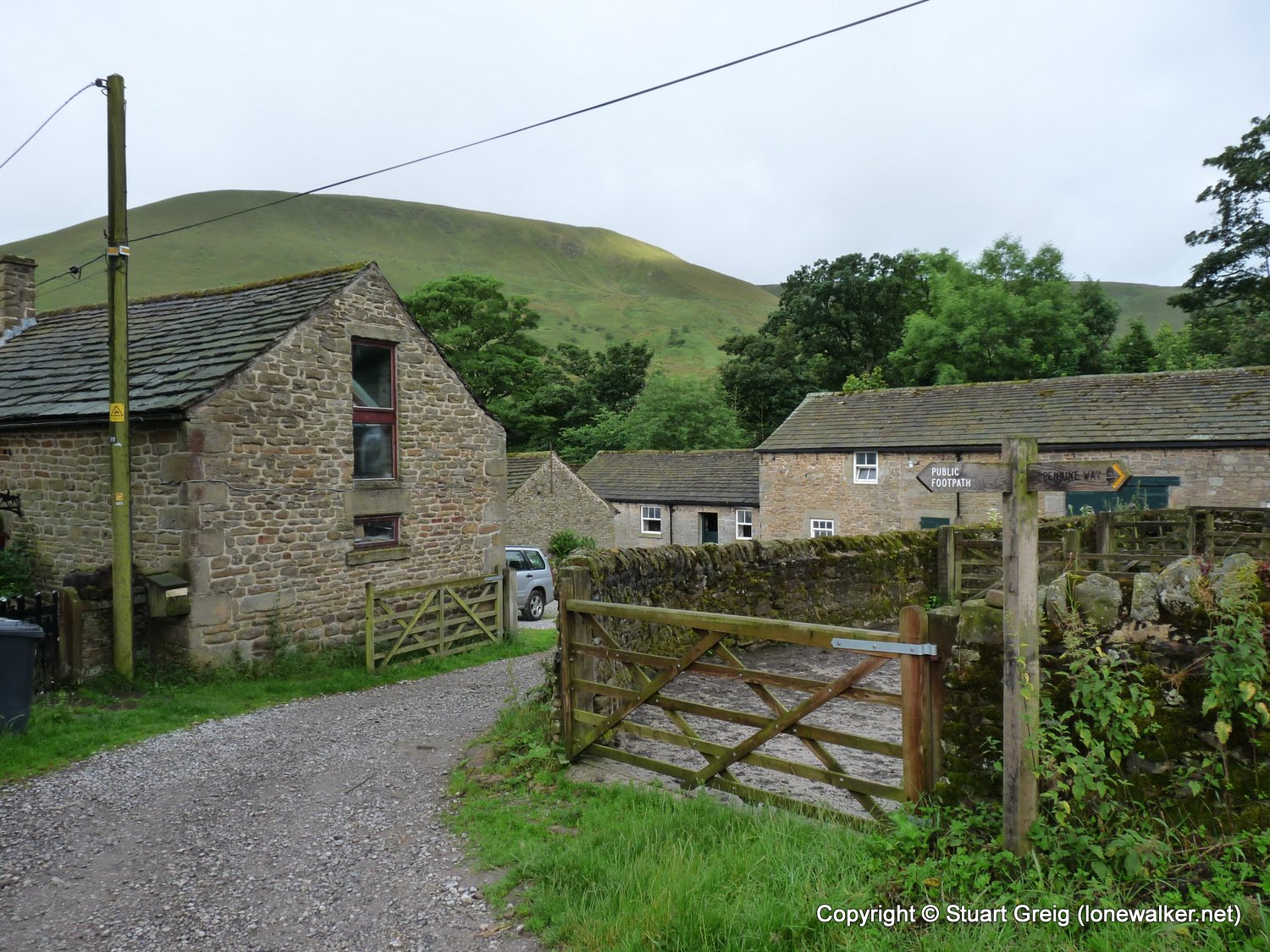
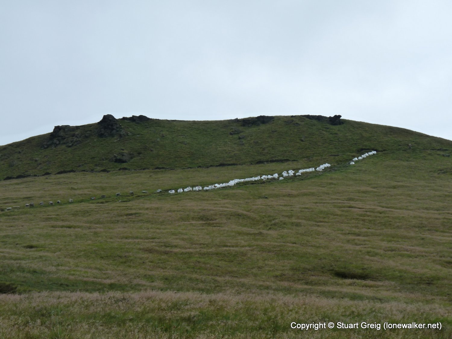
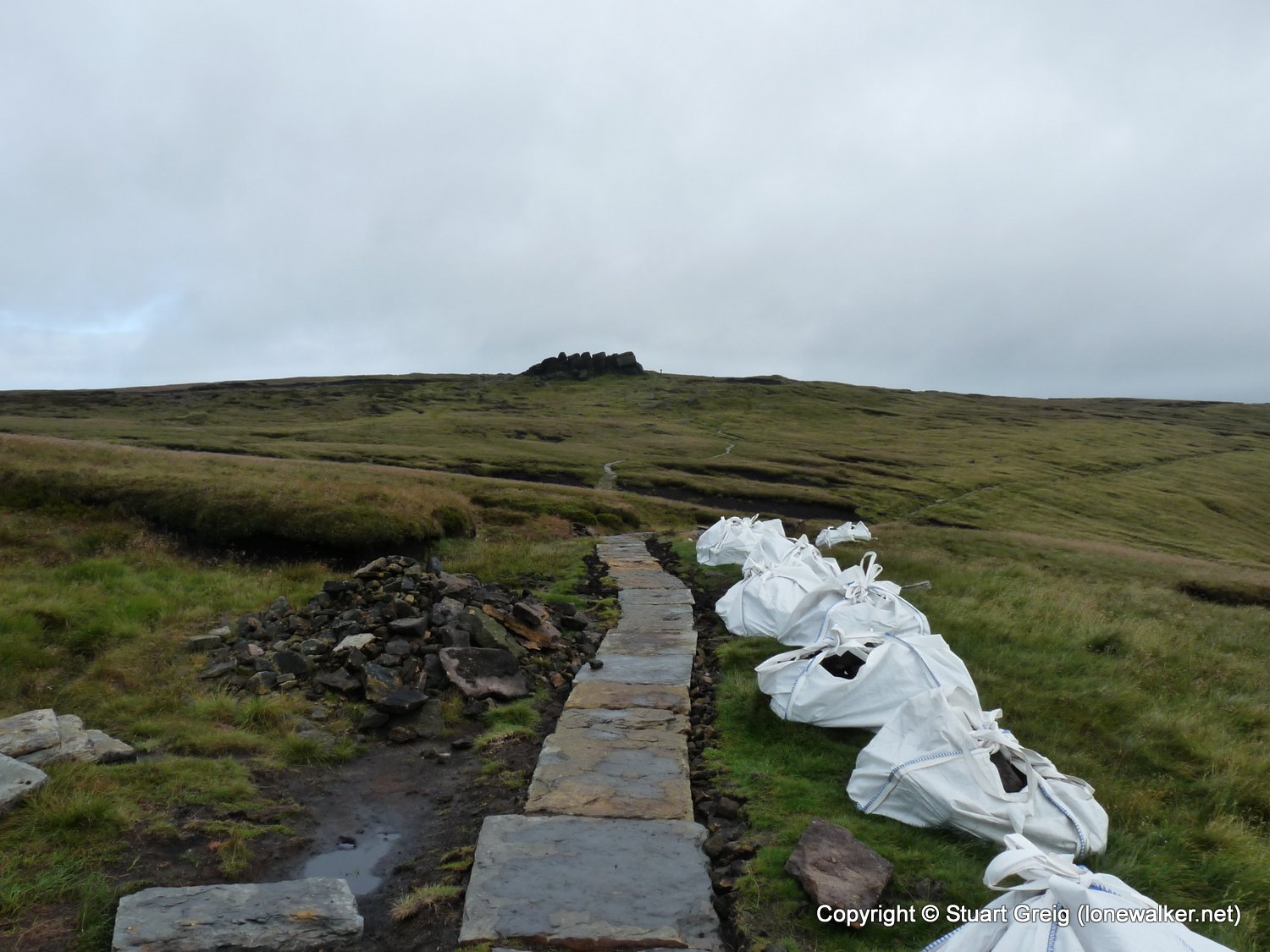
Route Description: Edale, Pennine Way via Jacob's Ladder to Edale Rocks, Kinder Low, Kinder Downfall, The Edge, Fairbrook Naze, Seal Edge, Edale Moor, Ringing Roger, The Nab, Edale
Parking Grid Ref: SK 12290 85970
View Parking space in: OS Map or Google Street View
Walking with: Alone
Long Distance Path:
TP3019 - Edale Moor (Good condition)
Click any image to open the full screen photo gallery


Walk Name: Crosby-on-Eden to Greenhead
Date: 2009-07-04
Distance: 16.5 mls, 26.55 km
Height Gain: 1500 ft, 457.2 m
Walk Name: Dodd Fell Hill
Date: 2009-07-18
Distance: 12.0 mls, 19.31 km
Height Gain: 1900 ft, 579.1 m