
Date: 2009-11-28
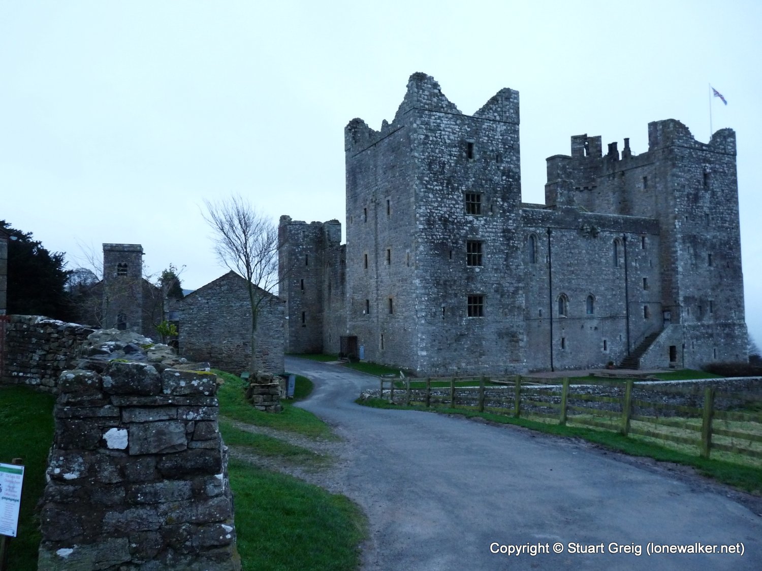
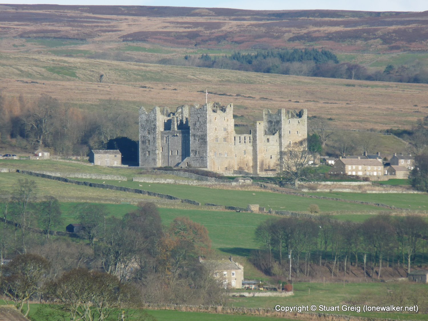
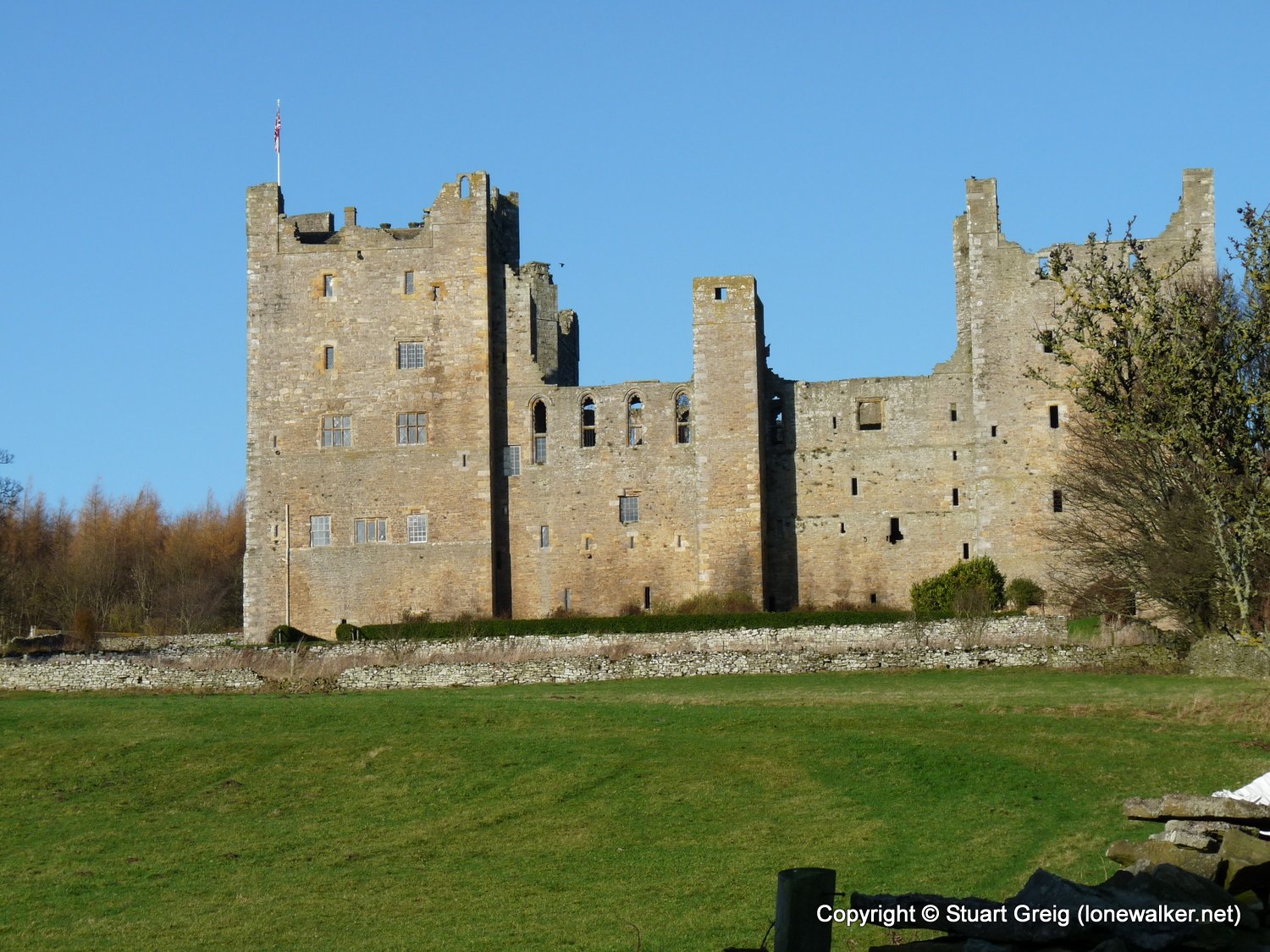
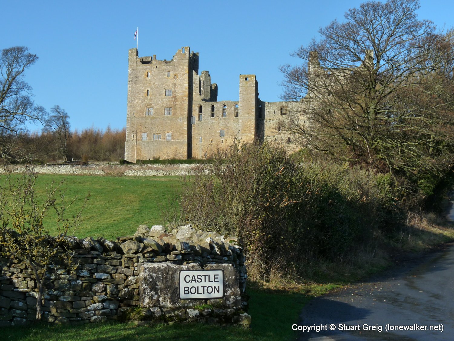
Start: Castle Bolton Finish: Castle Bolton
Distance: 12.5 mls, 20.12 km
Height Gain: 1600 ft, 487.7 m
Start Time: 07:58 End Time: 12:38
Duration: 04:40
Ave Speed: 2.7 mph
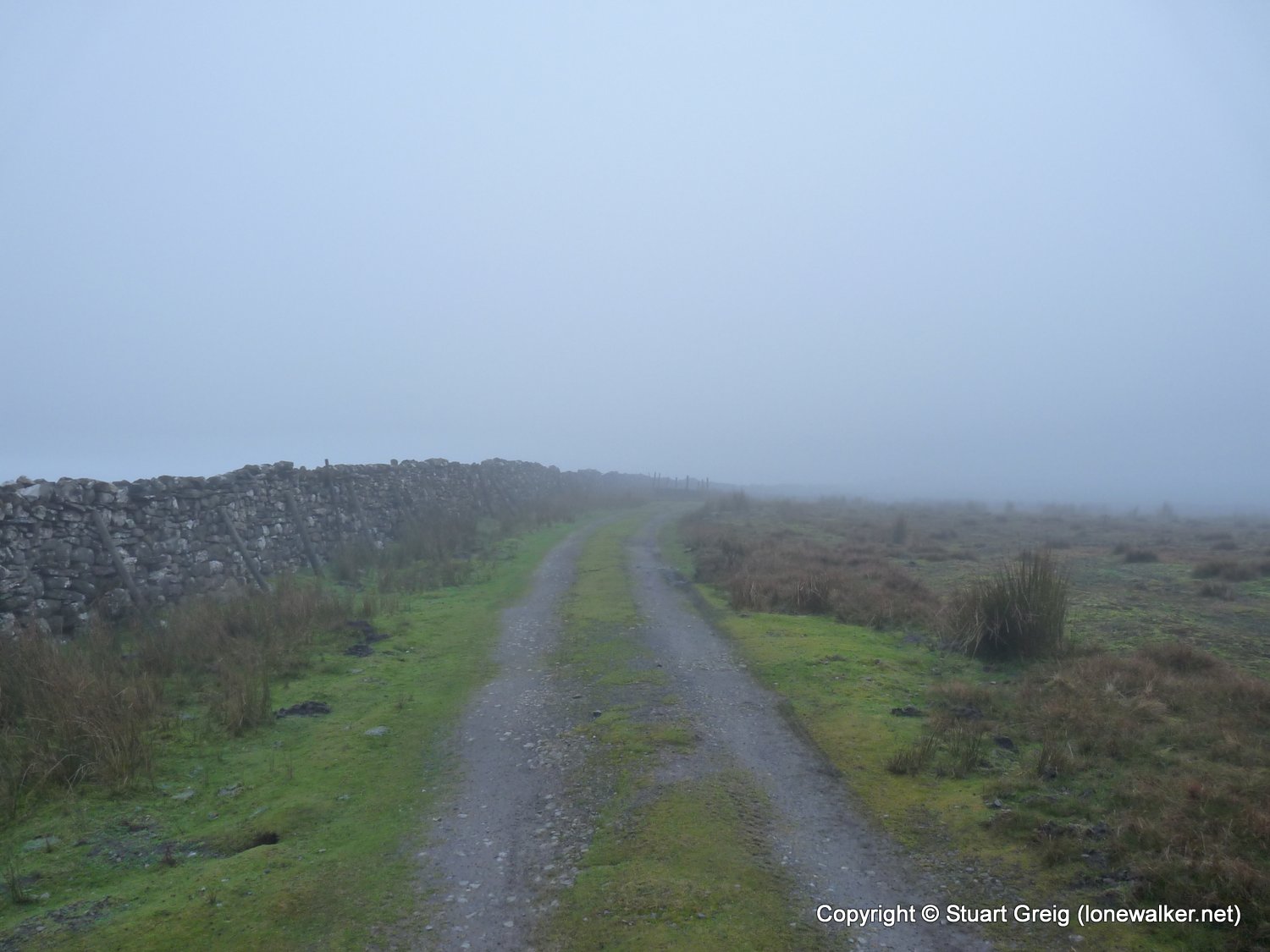
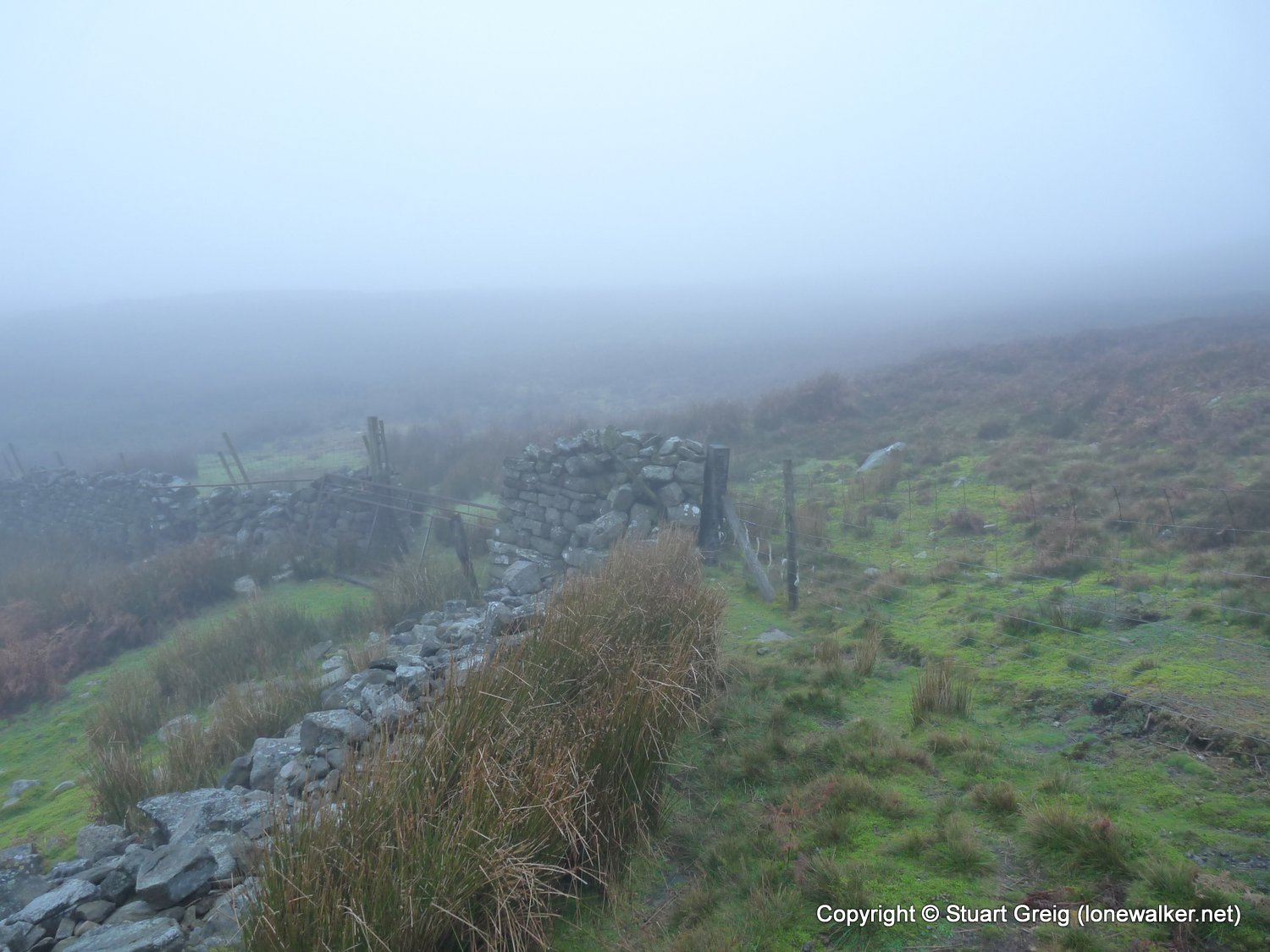
Region: Yorkshire Dales
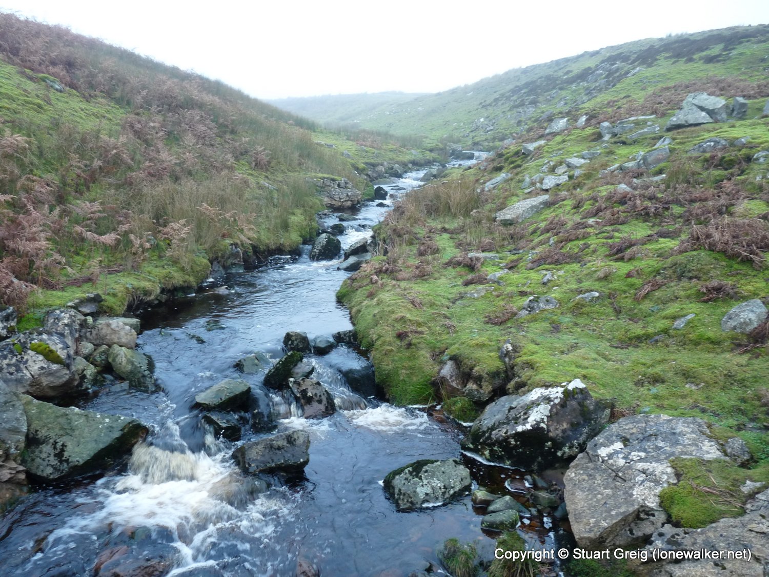
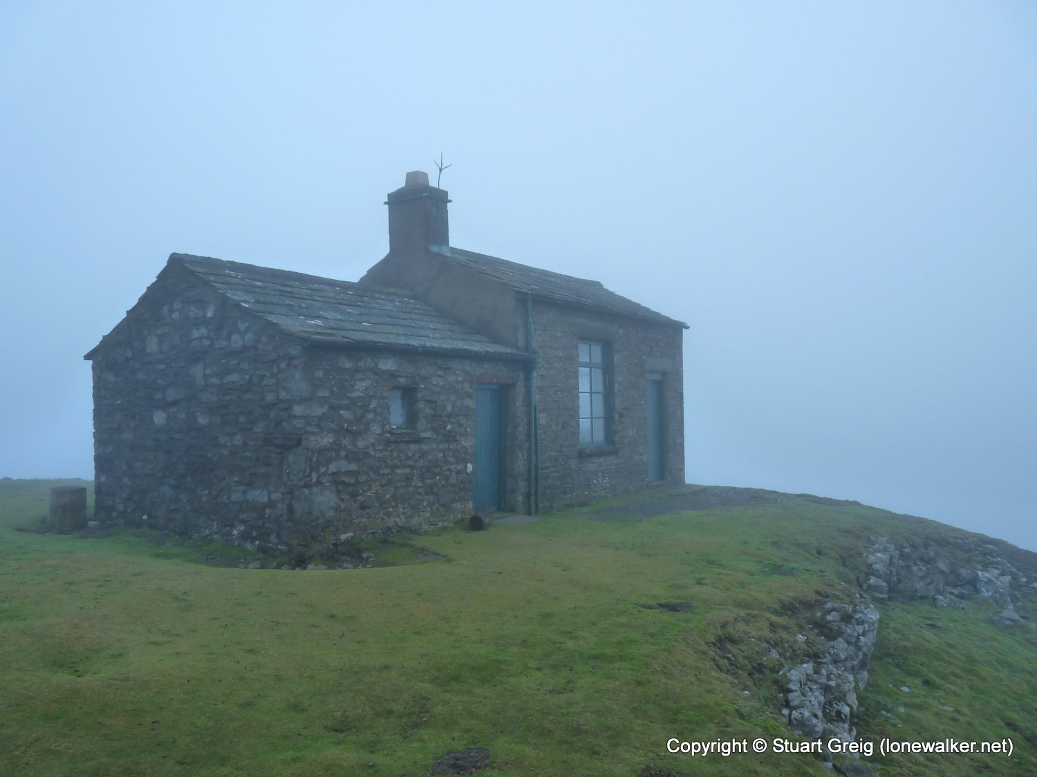
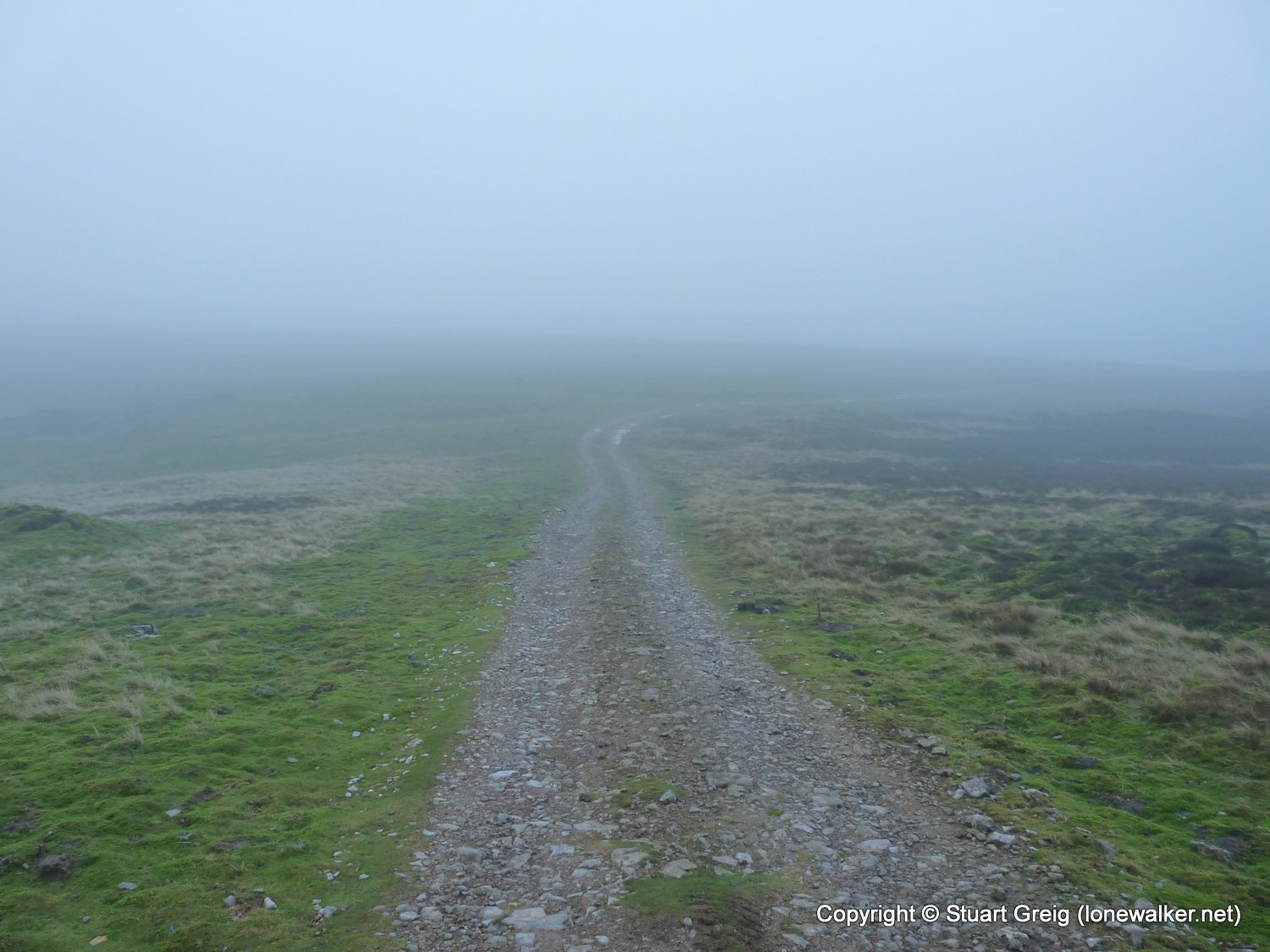
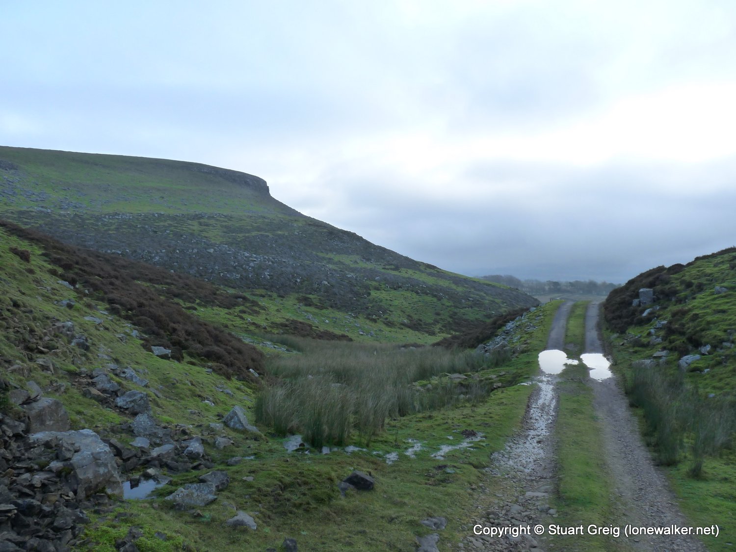
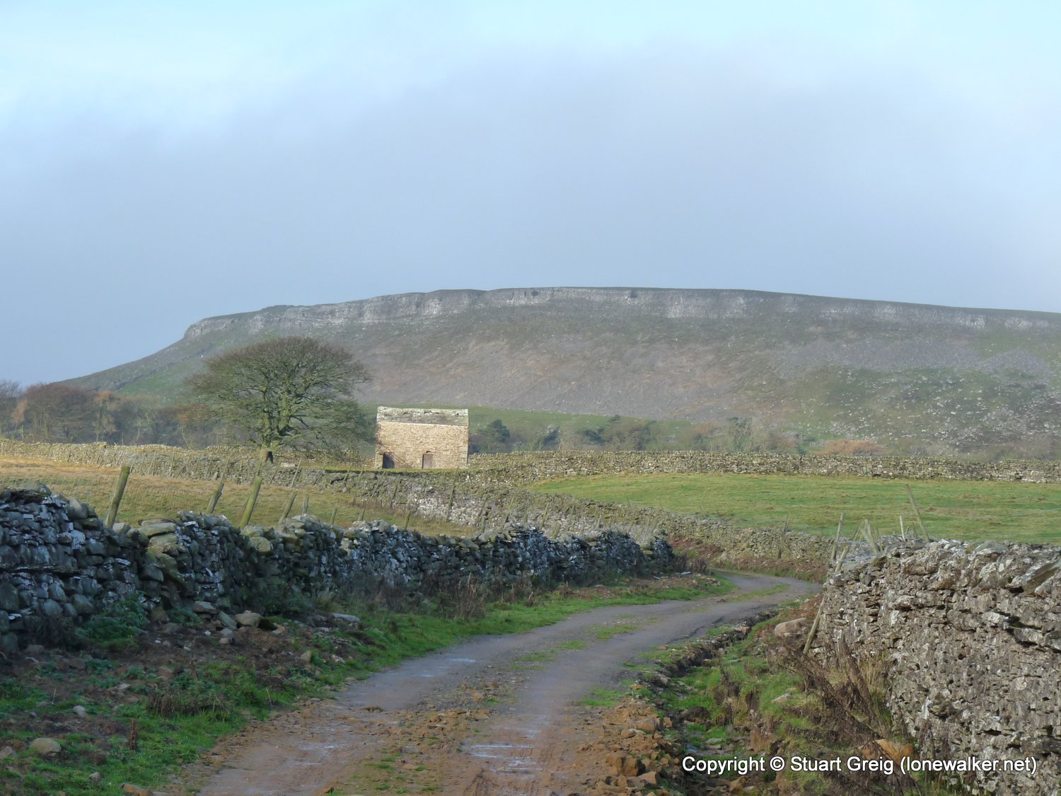
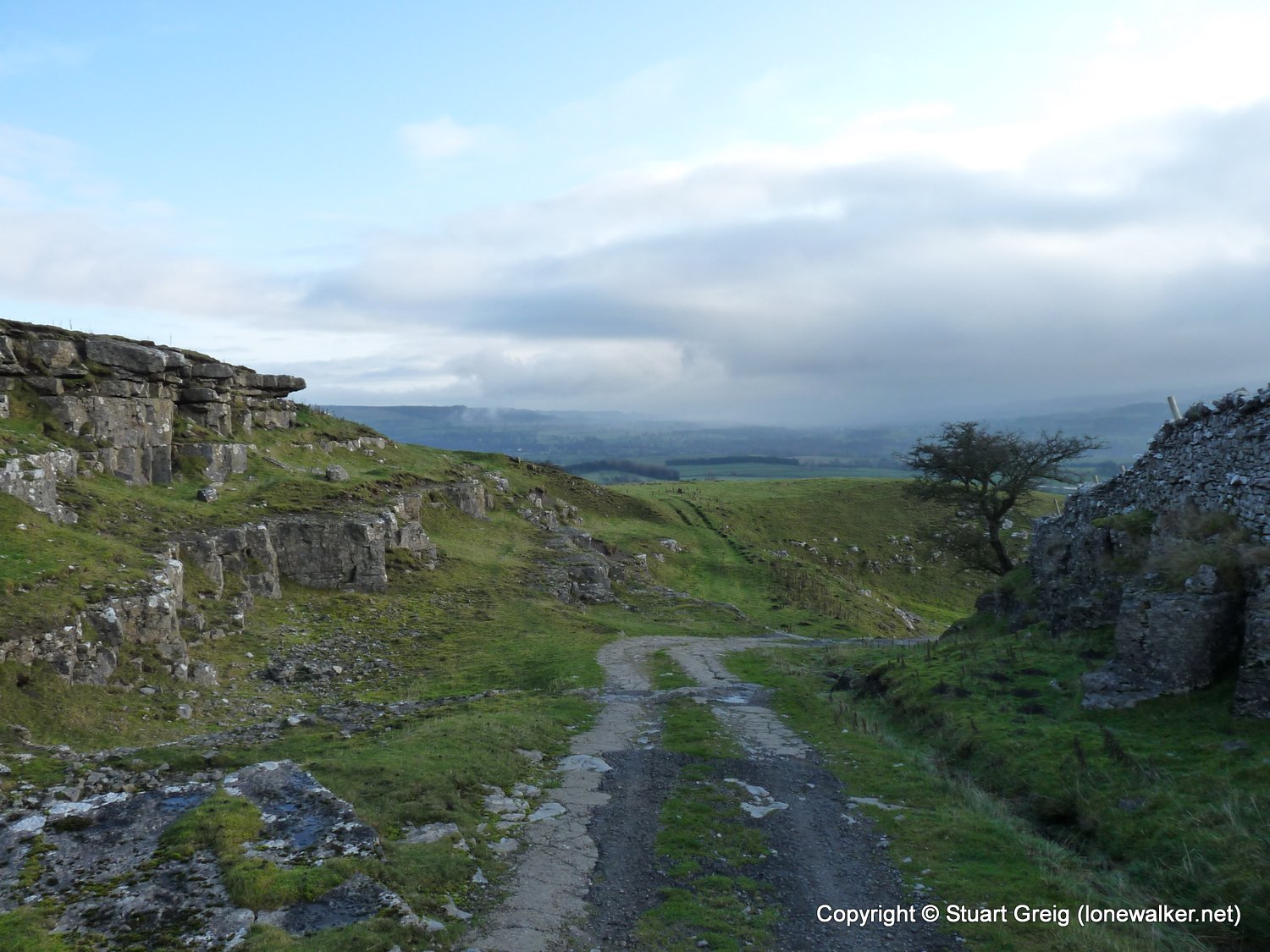
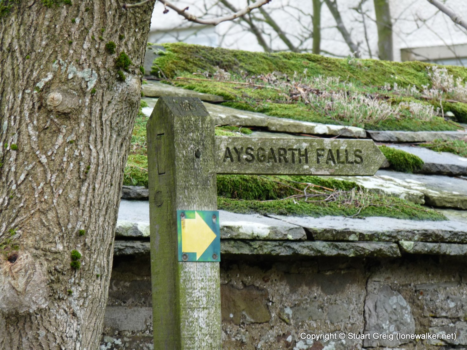
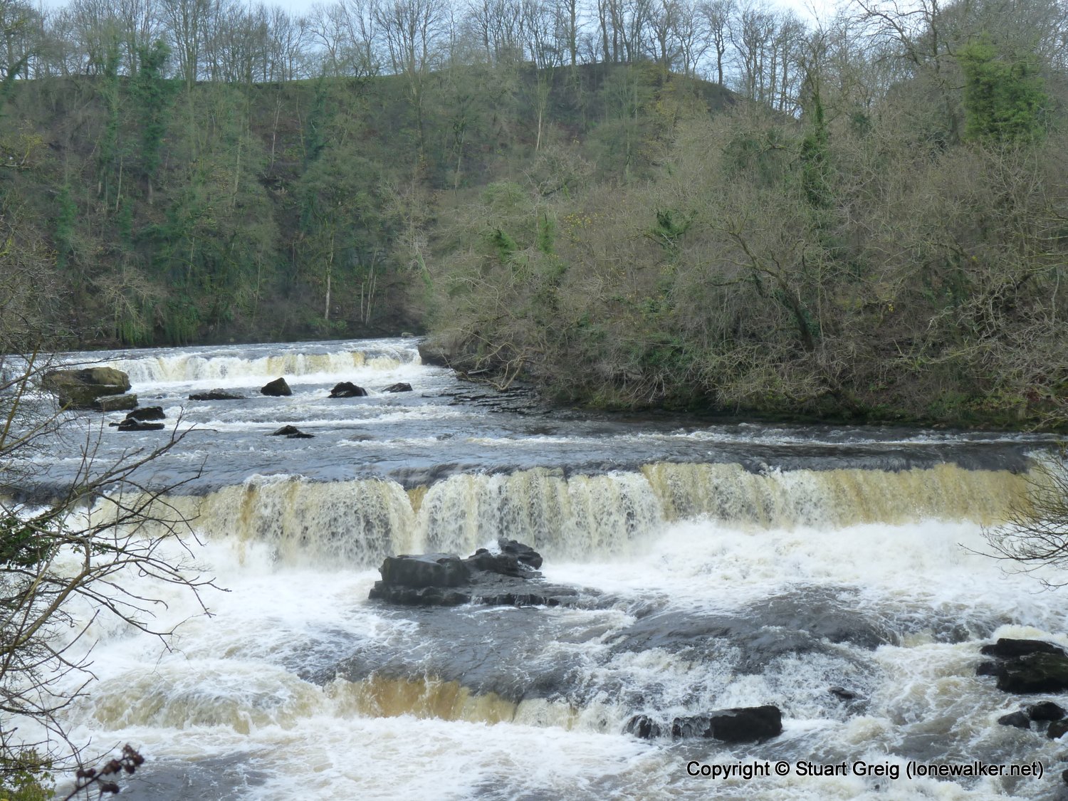
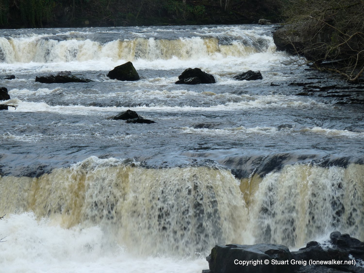
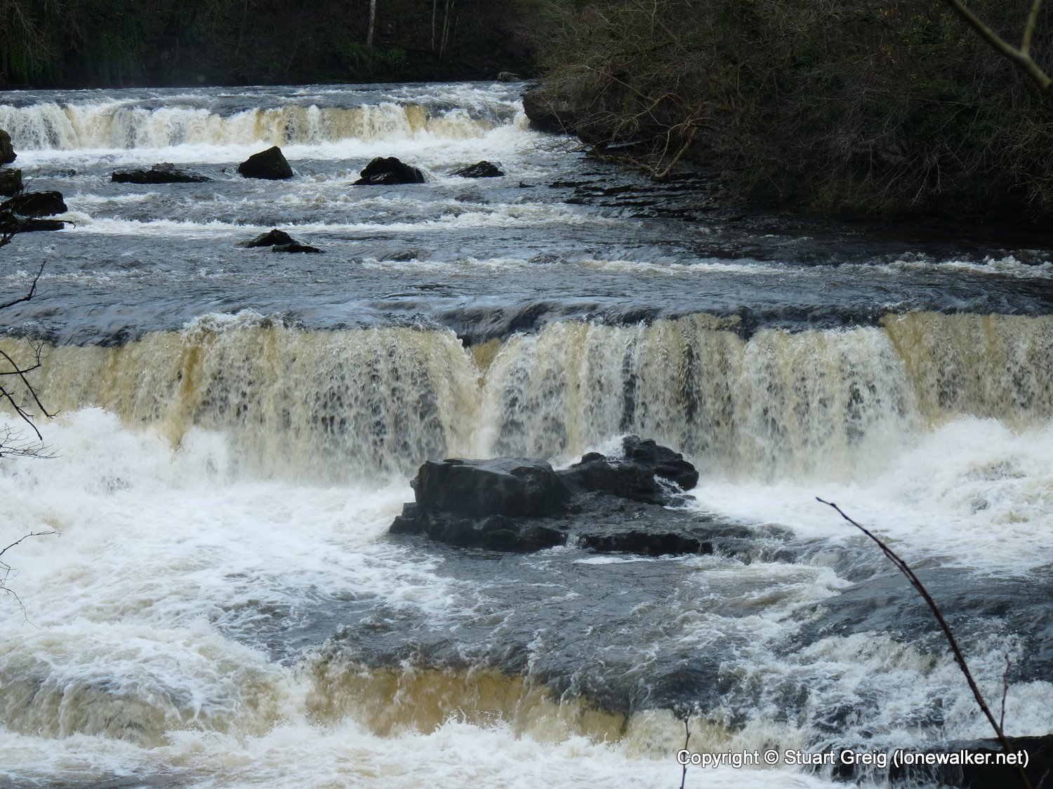
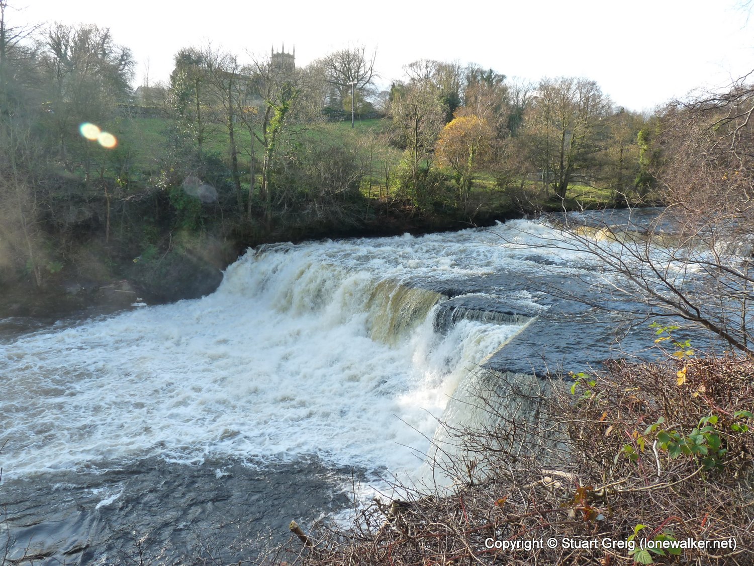
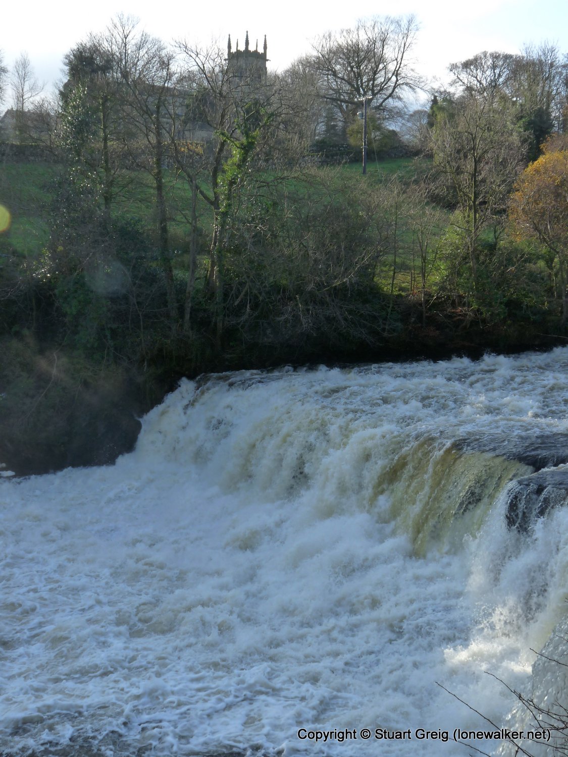
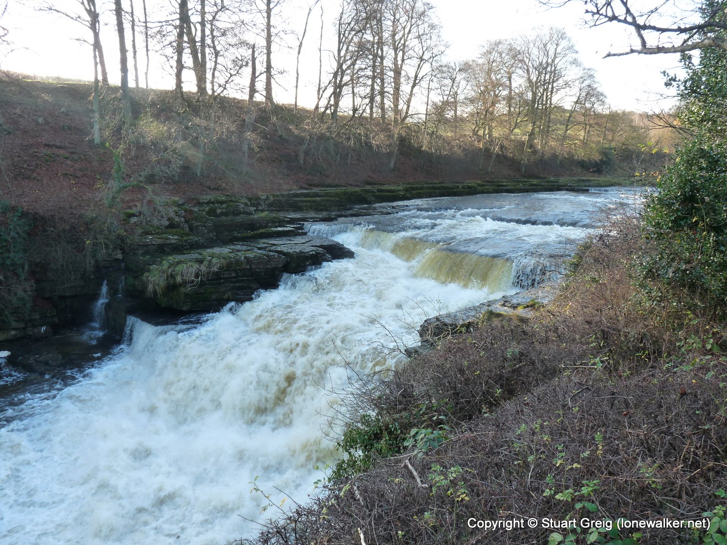
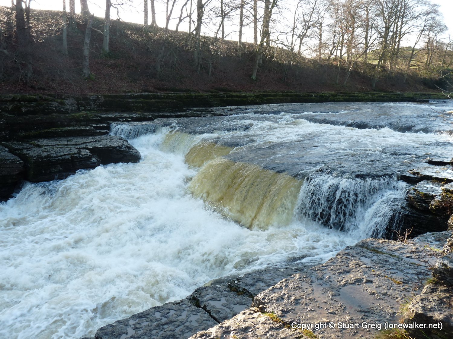
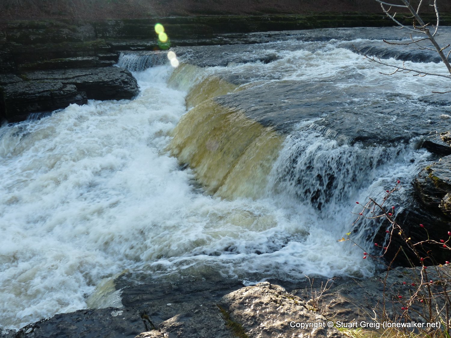
Route Description: Castle Bolton, Black Hill, Collier Gate, Greenhaw Hut, Peatmoor Lane, Carperby, Aysgarth, Aysgarth Falls, Hollins House, Thoresby Lane, Castle Bolton
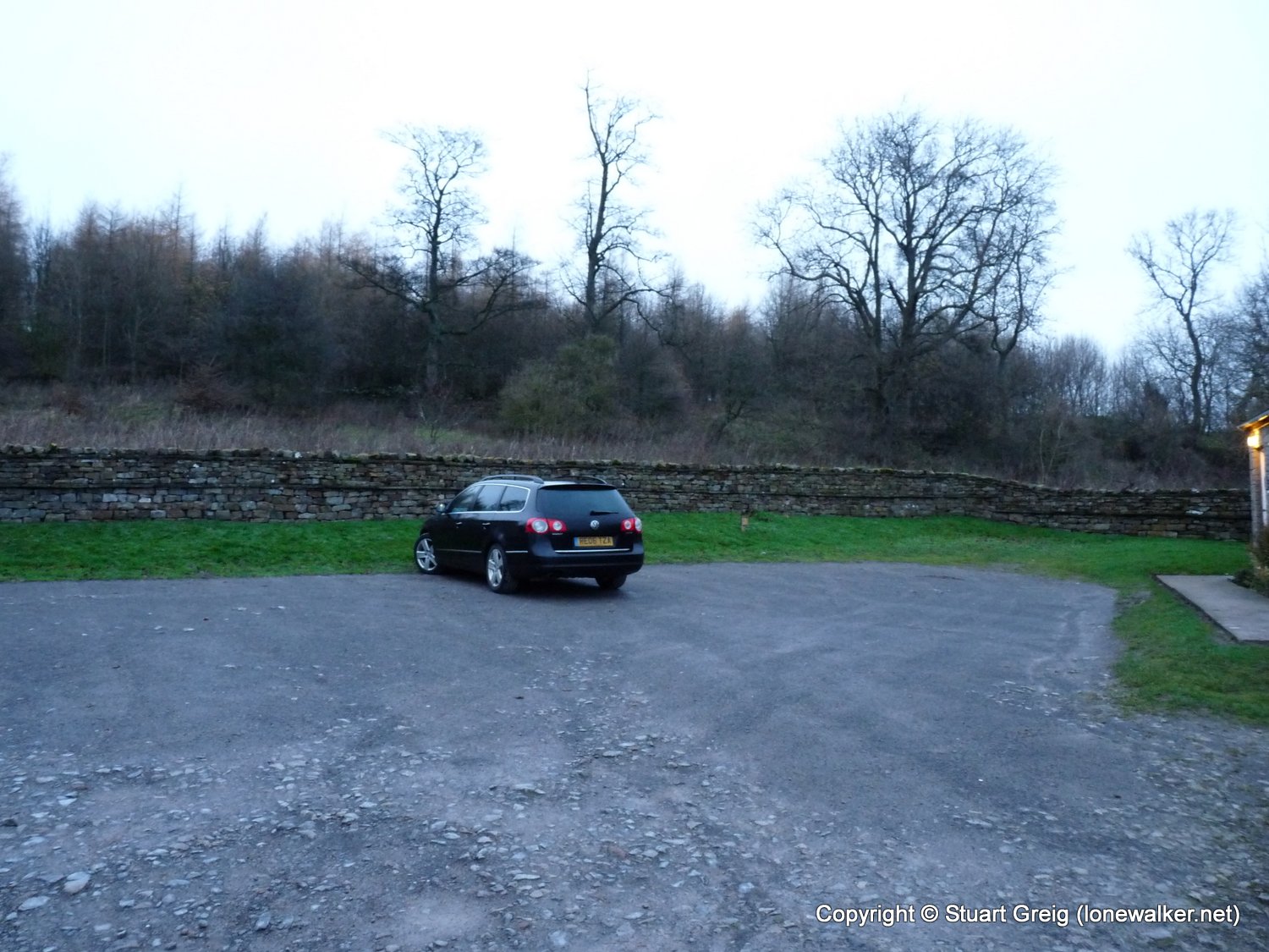
Parking Grid Ref: SE 03290 91862
View Parking space in: OS Map or Google Street View
Walking with: Alone
Long Distance Path:
Click any image to open the full screen photo gallery
Walk Name: Askrigg to Aysgarth
Date: 2009-11-21
Distance: 9.5 mls, 15.29 km
Height Gain: 600 ft, 182.9 m
Walk Name: Stanage Edge
Date: 2009-12-20
Distance: 7.0 mls, 11.27 km
Height Gain: 800 ft, 243.8 m