
Date: 2010-01-30
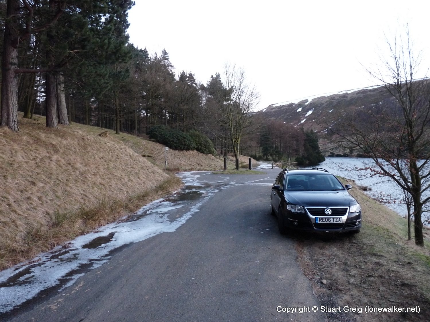
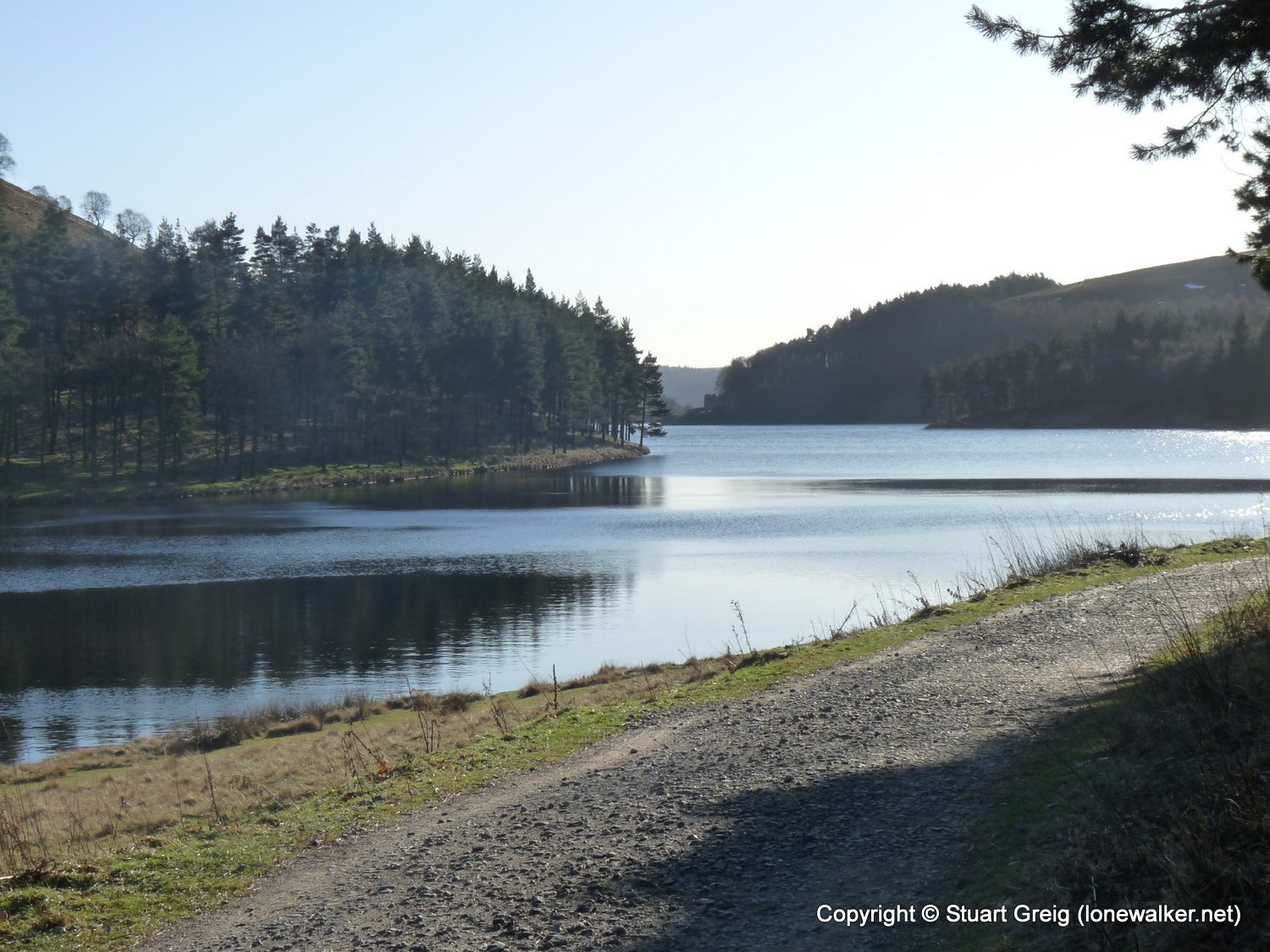
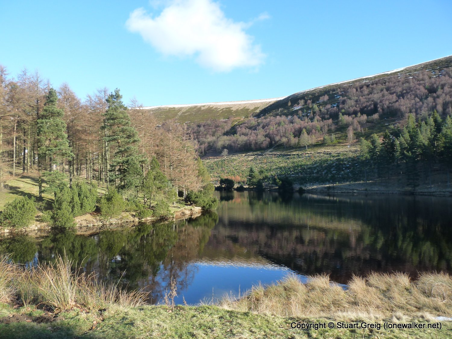
Start: Howden Res Finish: Howden Res
Distance: 12.0 mls, 19.31 km
Height Gain: 1800 ft, 548.6 m
Start Time: 07:53 End Time: 13:19
Duration: 05:26
Ave Speed: 2.2 mph
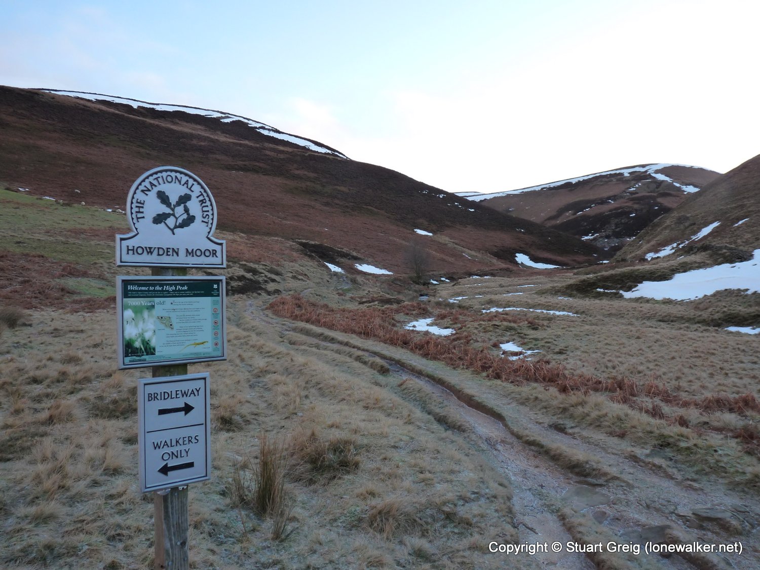
Region: Peak District
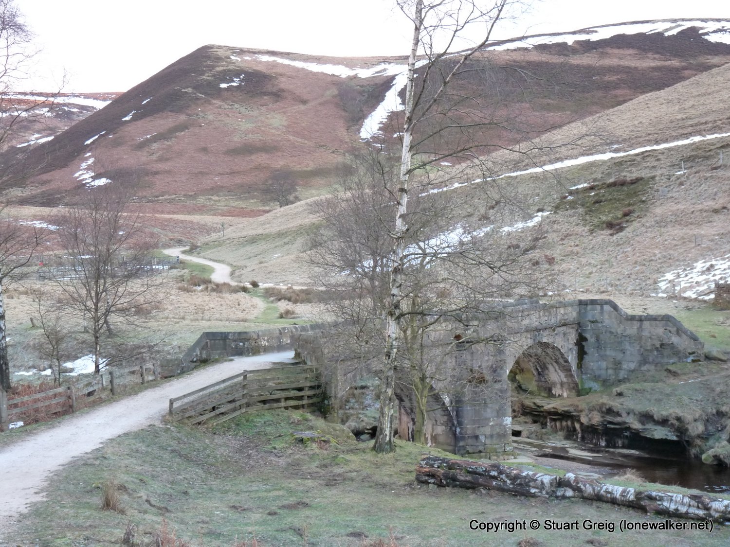
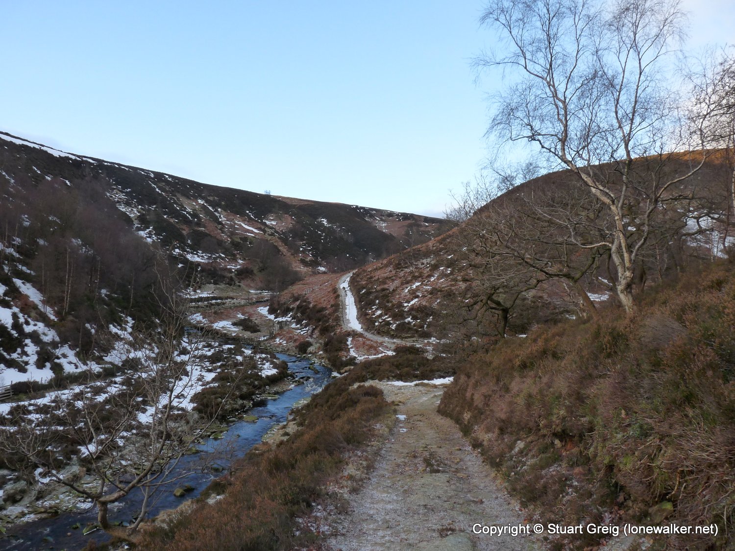
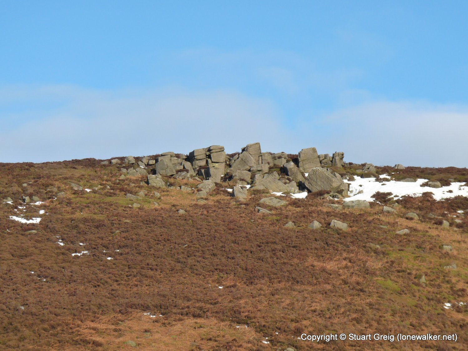
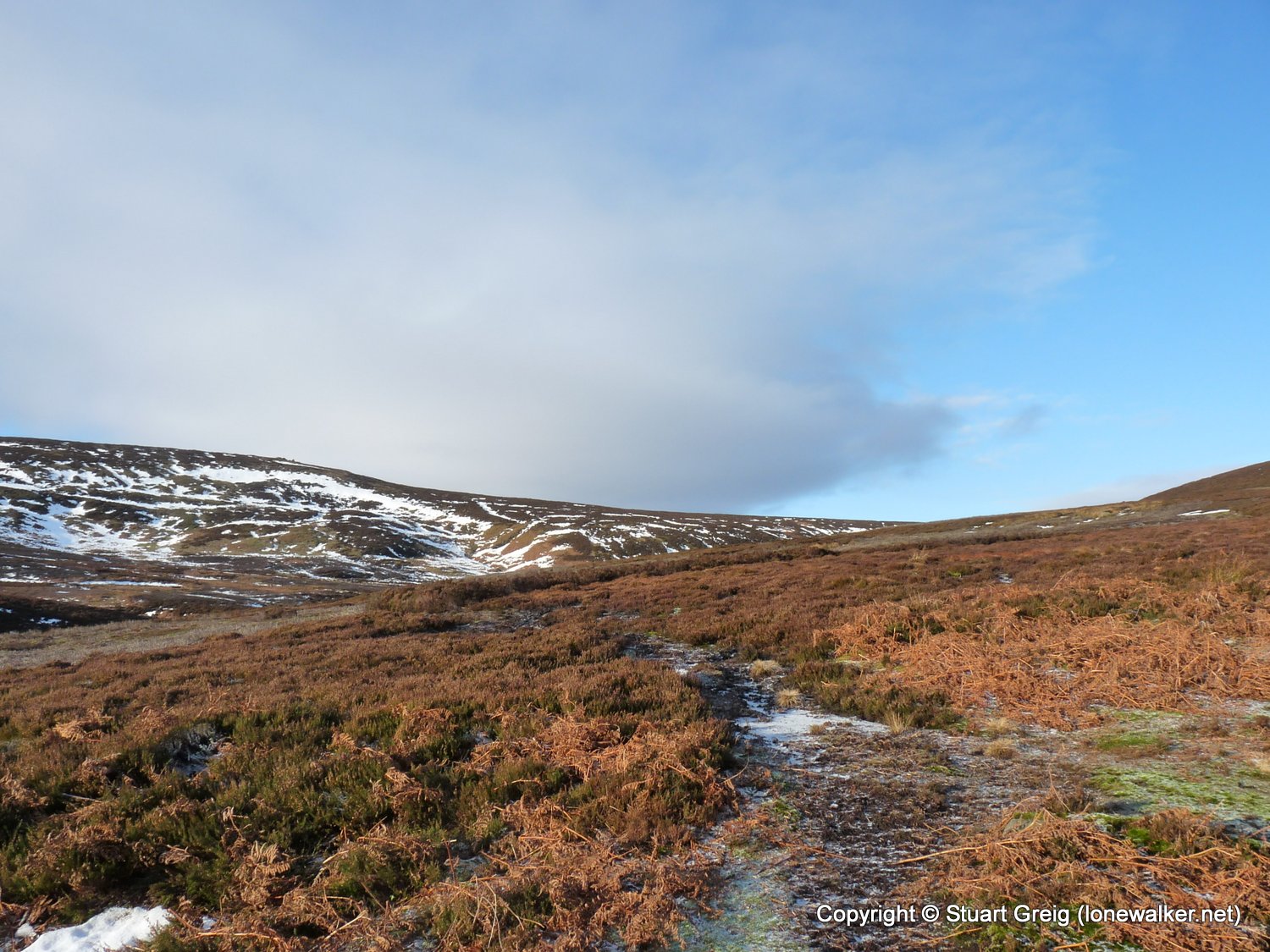
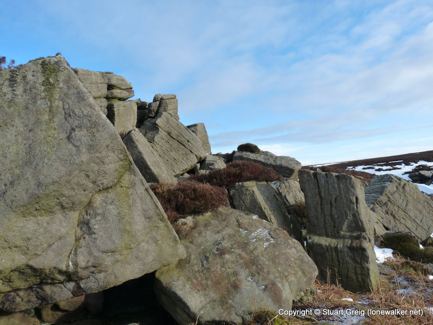
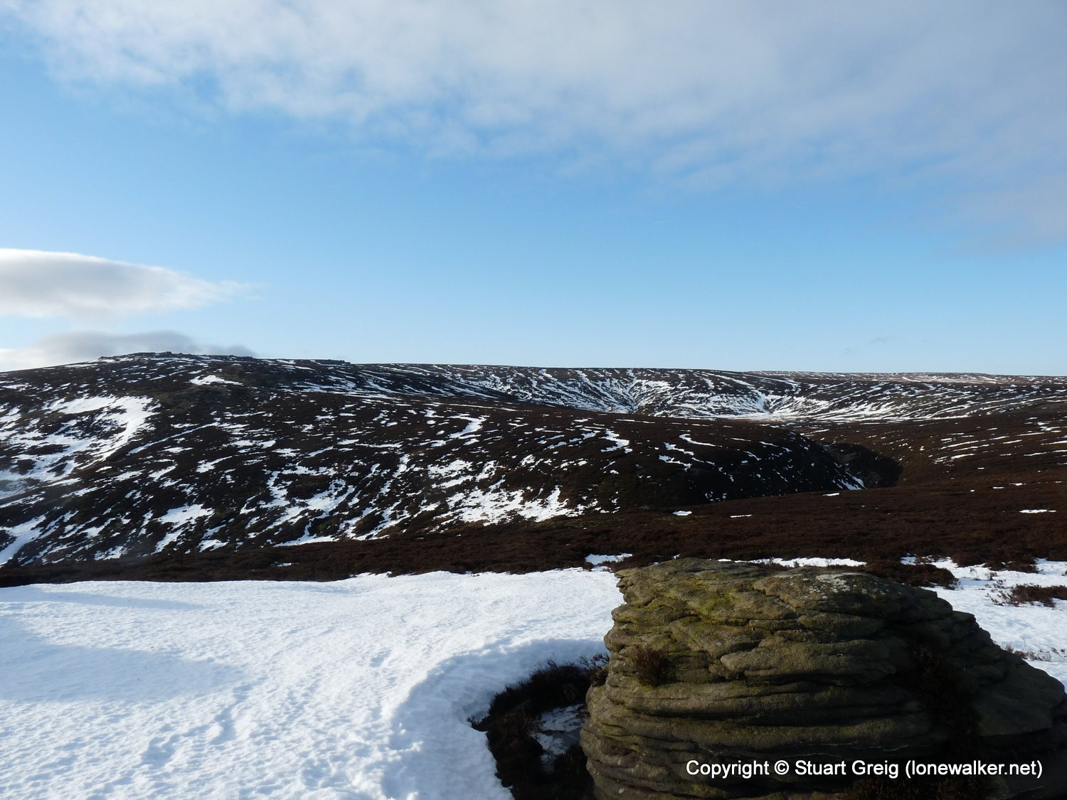
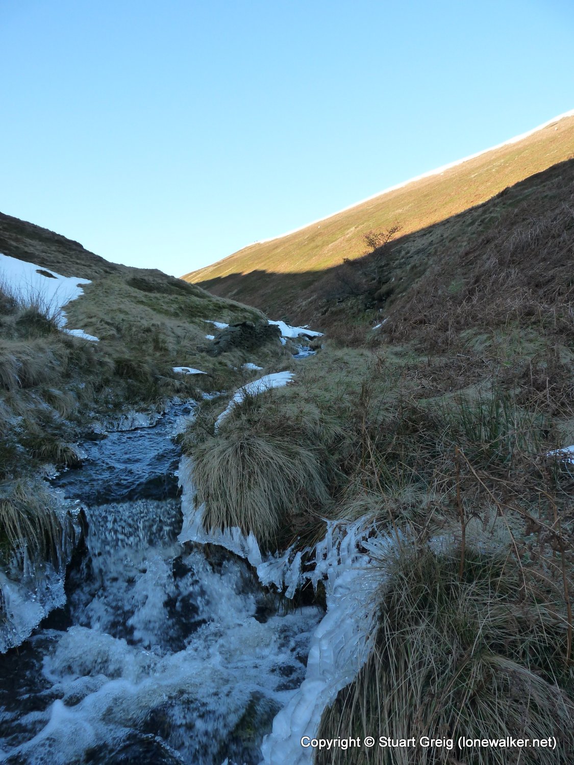
Route Description: Howden Res, Slippery Stones, Oaken Bank, Lands Side, Dean Head Stones, Bleaklow Stones, Grinah Stones, Black Dike, Howden Res
Parking Grid Ref: SK 16753 93845
View Parking space in: OS Map or Google Street View
Walking with: Alone
Long Distance Path:
Click any image to open the full screen photo gallery
Walk Name: Great Asby Scar
Date: 2010-01-23
Distance: 12.5 mls, 20.12 km
Height Gain: 1300 ft, 396.2 m
Walk Name: Whernside
Date: 2010-02-06
Distance: 12.0 mls, 19.31 km
Height Gain: 2200 ft, 670.6 m