
Date: 2010-03-27
Start: Hutchen Gill Gate Finish: Hutchen Gill Gate
Distance: 14.0 mls, 22.53 km
Height Gain: 2400 ft, 731.5 m
Start Time: 08:02 End Time: 14:15
Duration: 06:13
Ave Speed: 2.3 mph
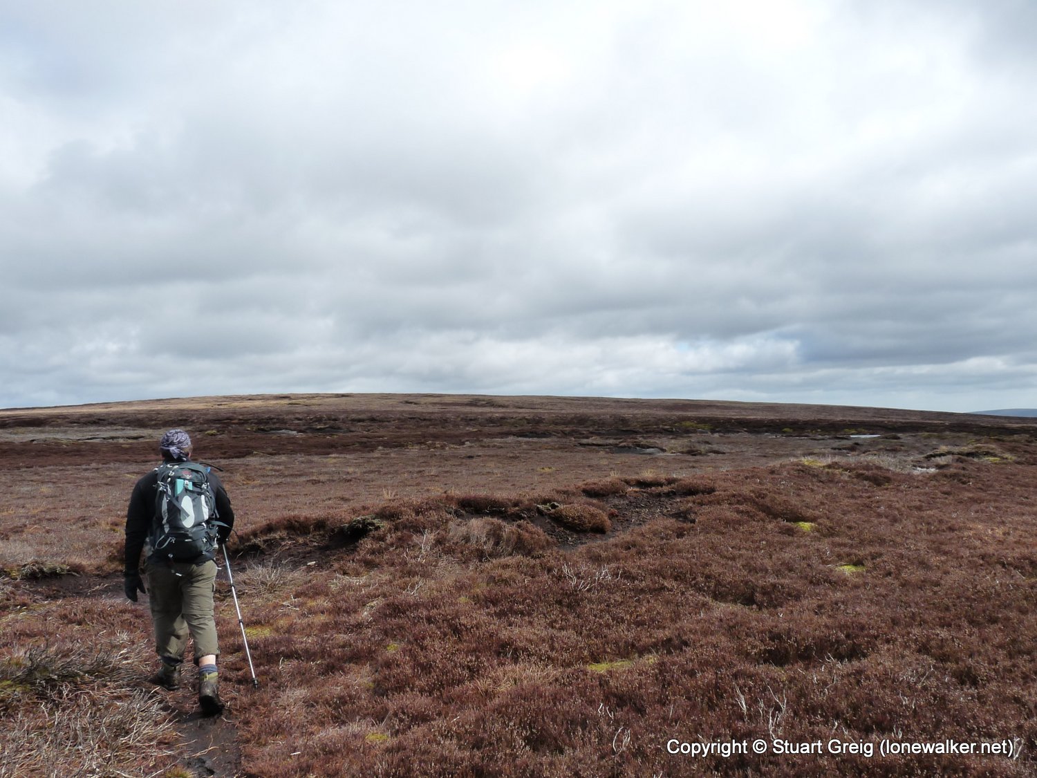
Region: Yorkshire Dales
Route Description: Halton Height, Embsay, Crookrise Crag Top, Cracoe Fell, Thorpe Fell Top, Lower Barden Res, Hutchen Gill Gate
Parking Grid Ref: SE 03785 55574
View Parking space in: OS Map or Google Street View
Walking with: Rob Powell
Long Distance Path:
2803 - Thorpe Fell Top (1660 ft)
3682 - Cracoe Fell (1666 ft)
16396 - High Crag (1171 ft)
TP2610 - Crook Rise Crag Top (Good condition)
TP3579 - Halton Height (Good condition)
TP6463 - Thorpe Fell (Damaged condition)
TP8027 - Cracoe War Memorial (Good condition)
Click any image to open the full screen photo gallery


Walk Name: High Willhays
Date: 2010-03-12
Distance: 5.5 mls, 8.85 km
Height Gain: 1400 ft, 426.7 m
Walk Name: Clougha Pike
Date: 2010-04-02
Distance: 10.0 mls, 16.09 km
Height Gain: 1500 ft, 457.2 m