
Date: 2006-01-21
Start: Trentabank Res Finish: Trentabank Res
Distance: 7.5 mls, 12.07 km
Height Gain: 1600 ft, 487.7 m
Start Time: 07:50 End Time: 10:20
Duration: 02:30
Ave Speed: 3.0 mph
Region: Peak District
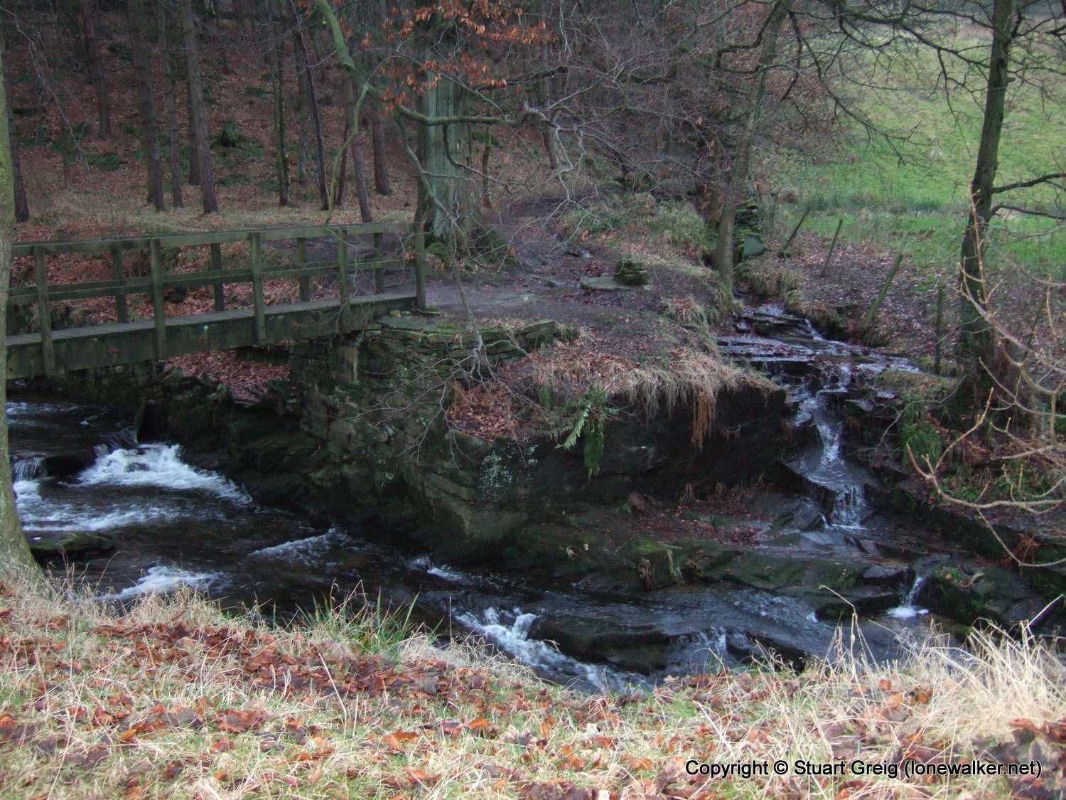
Route Description: Trentabank Res, Shutlingsloe, Wildboarclough, Greenway Bridge, Higher Sutton, Ridgegate Res, Trentabank Res
Parking Grid Ref: SJ 96135 71162
View Parking space in: OS Map or Google Street View
Walking with: Alone
Long Distance Path:
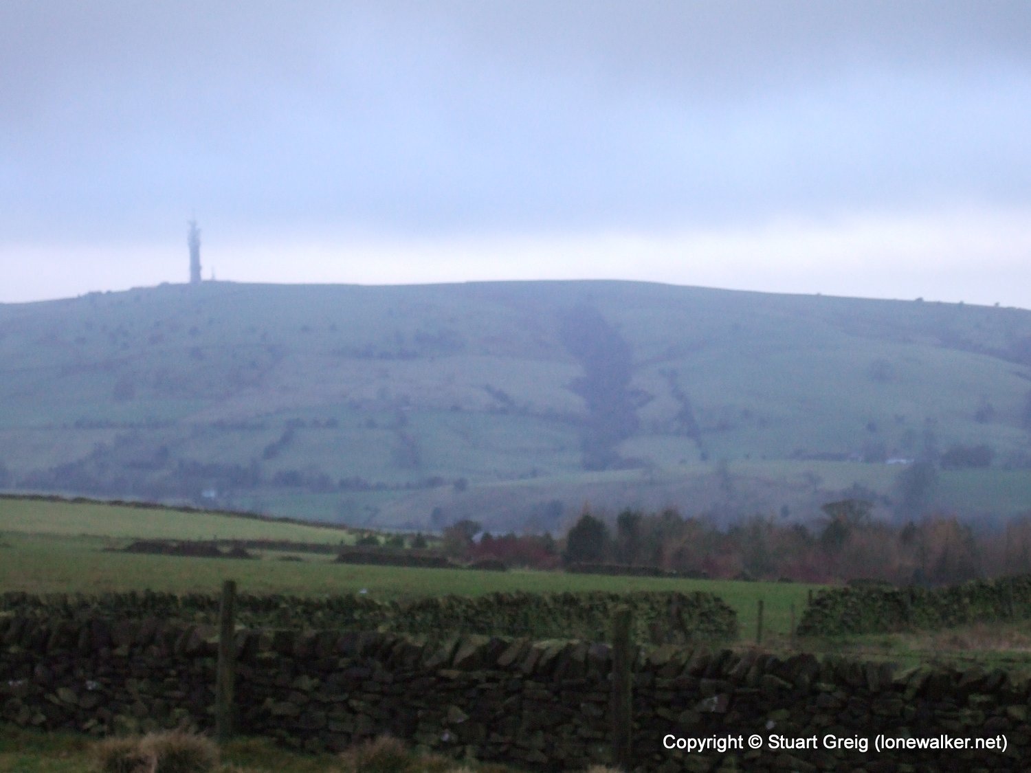
3644 - Shutlingsloe (1660 ft)
TP5970 - Shutlingsloe (Good condition)
Click any image to open the full screen photo gallery


Walk Name: The Cloud
Date: 2006-01-07
Distance: 10.5 mls, 16.90 km
Height Gain: 1600 ft, 487.7 m
Walk Name: Cat Bells & High Spy
Date: 2006-01-28
Distance: 9.0 mls, 14.48 km
Height Gain: 2600 ft, 792.5 m