
Date: 2010-04-24
Start: The Thrang Finish: The Thrang
Distance: 12.0 mls, 19.31 km
Height Gain: 2100 ft, 640.1 m
Start Time: 08:11 End Time: 13:30
Duration: 05:19
Ave Speed: 2.3 mph
Region: Yorkshire Dales
Route Description: The Thrang, Outhgill, Castlethwaite, High Brae, High Pike Hill, High Seat, Gregory Chapel, Hugh Seat, Little Fell, Sails, High Hall, Hellgill Wold, Old Road, The Thrang
Parking Grid Ref: NY 78307 00480
View Parking space in: OS Map or Google Street View
Walking with: Alone
Long Distance Path:
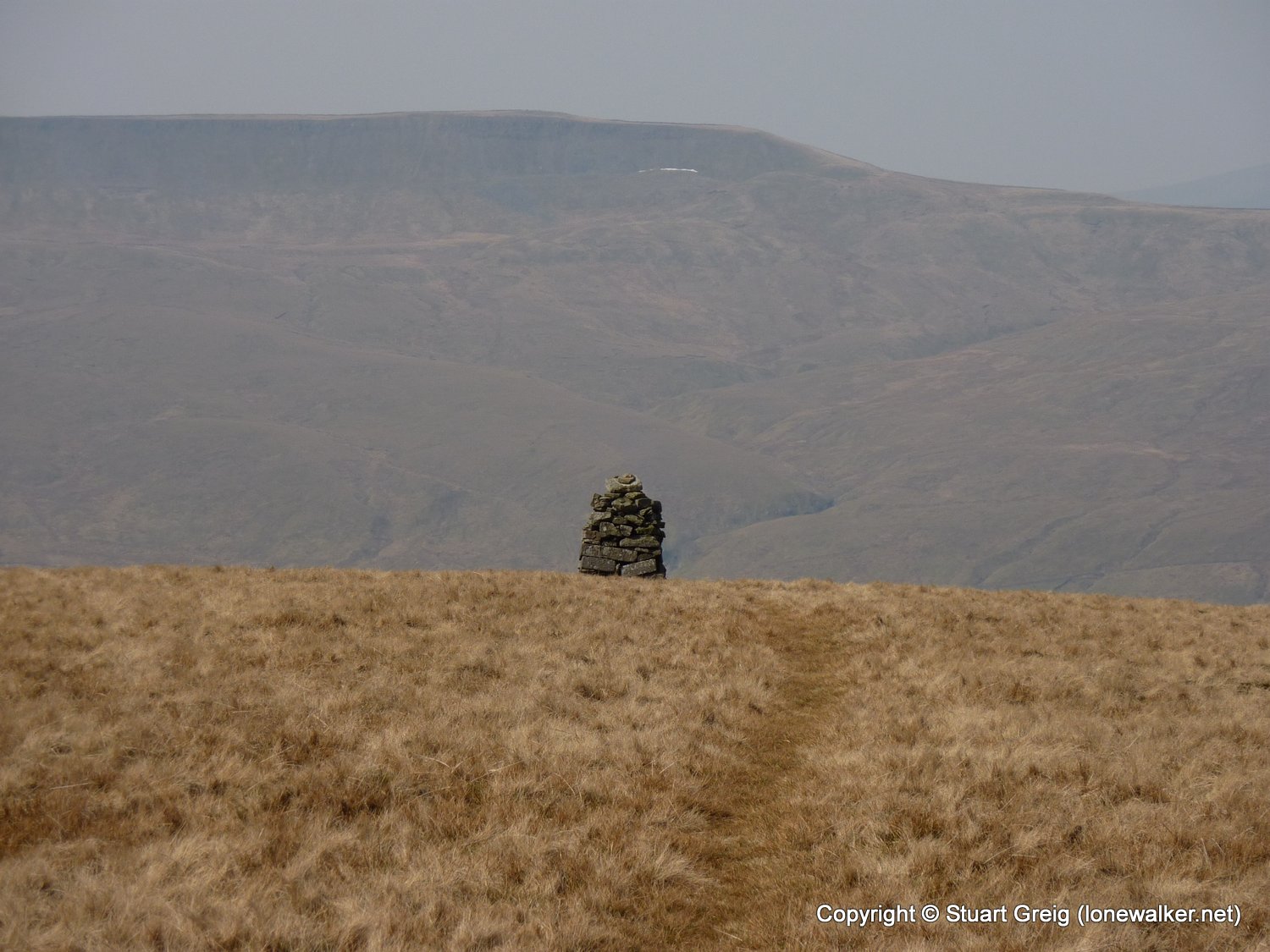
2719 - High Seat (2326 ft)
2725 - Archy Styrigg [Gregory Chapel] (2280 ft)
2726 - Hugh Seat (2258 ft)
2743 - Little Fell (2186 ft)
2931 - Sails (2187 ft)
TP7493 - Sails (Good condition)
Click any image to open the full screen photo gallery


")


Walk Name: Baugh Fell
Date: 2010-04-17
Distance: 11.5 mls, 18.51 km
Height Gain: 2100 ft, 640.1 m
Walk Name: Edale to Crowden
Date: 2010-05-05
Distance: 16.5 mls, 26.55 km
Height Gain: 2700 ft, 823.0 m