
Date: 2010-05-09
Start: Cowling Finish: Malham
Distance: 18.5 mls, 29.77 km
Height Gain: 2600 ft, 792.5 m
Start Time: 08:58 End Time: 15:52
Duration: 06:54
Ave Speed: 2.7 mph
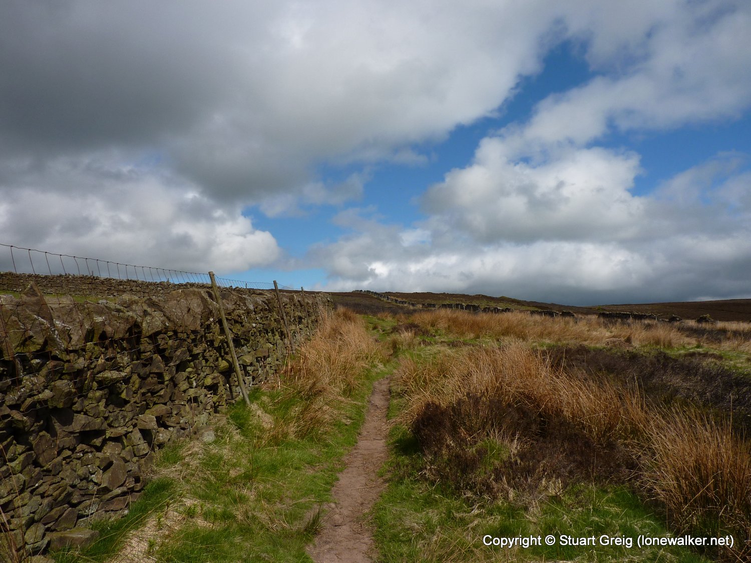
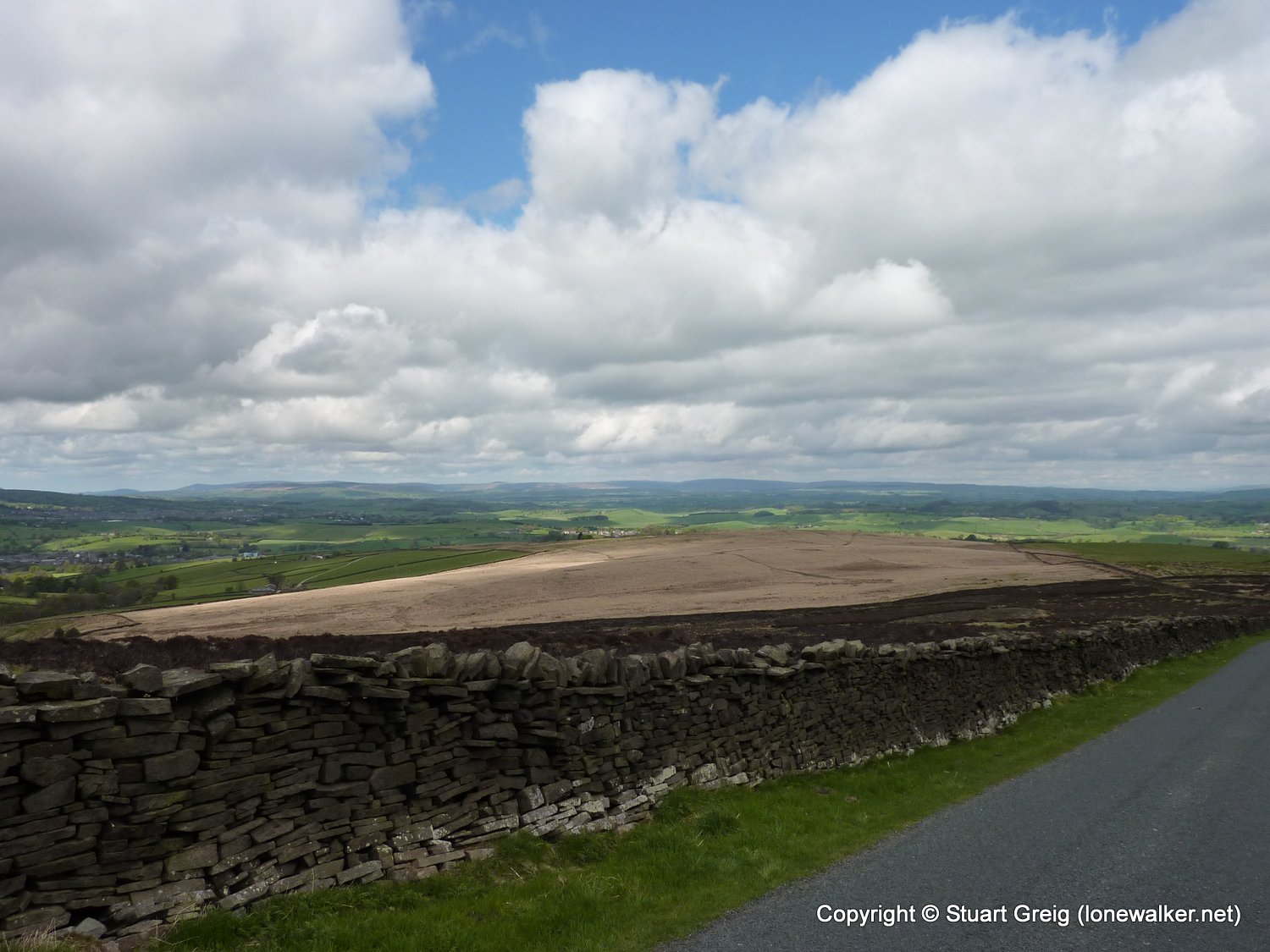
Region: Southern Pennines
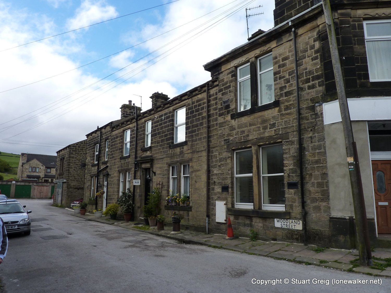
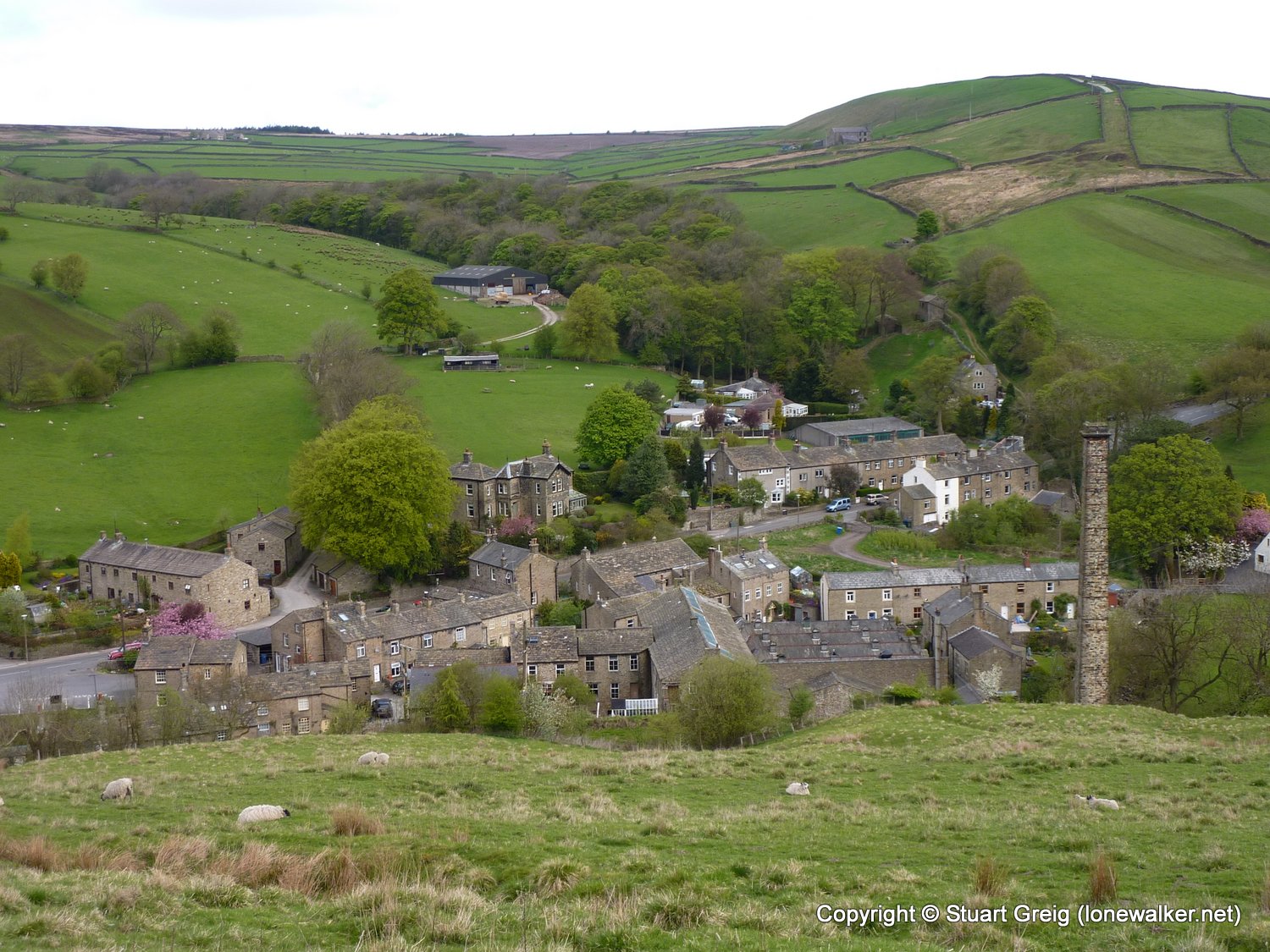
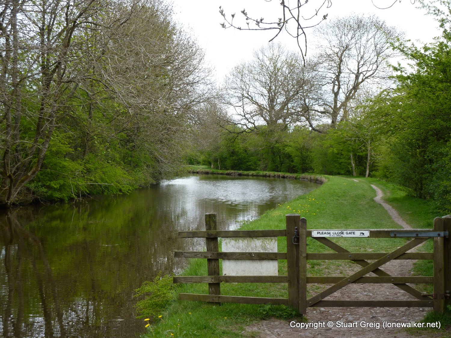
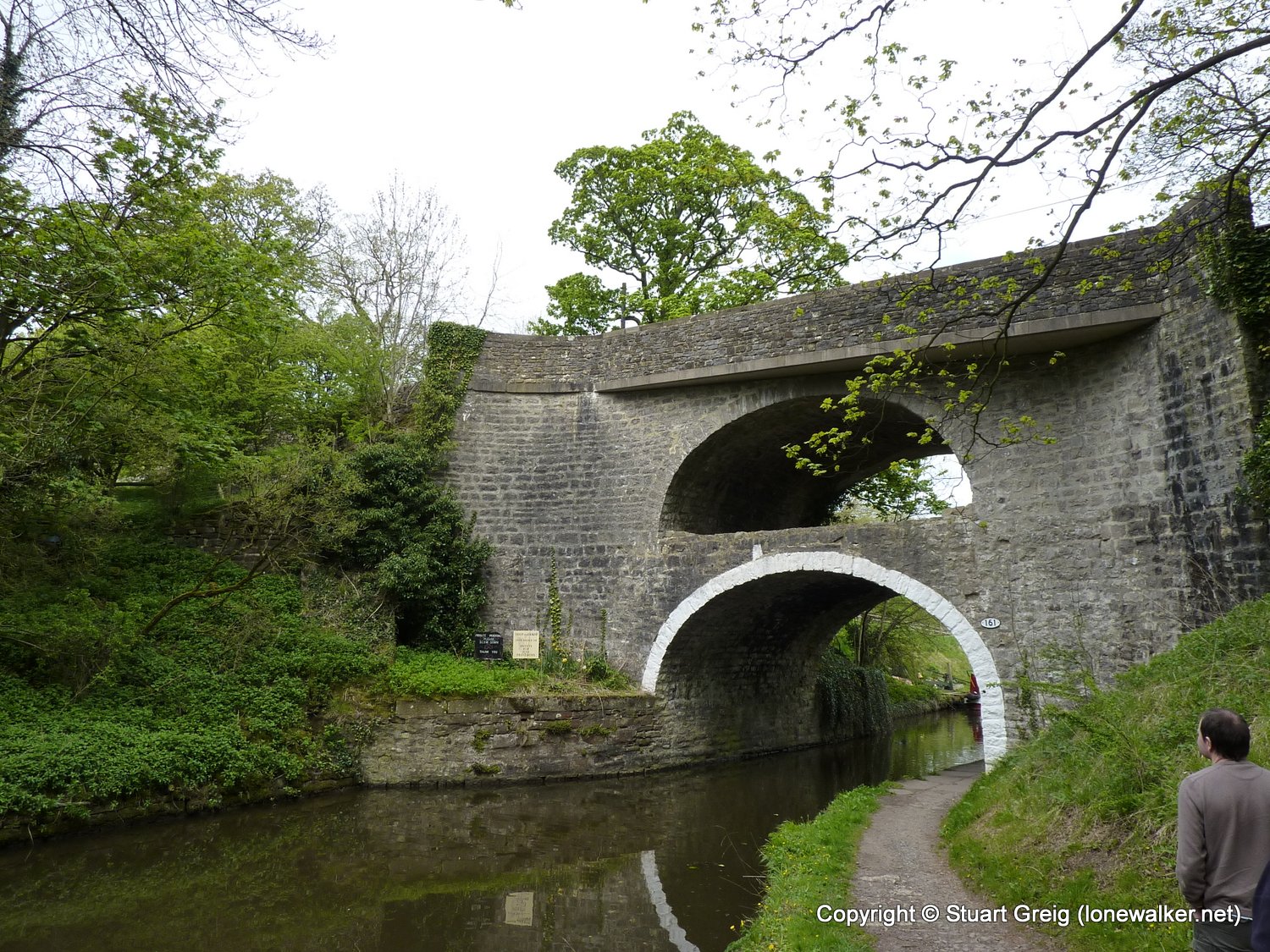
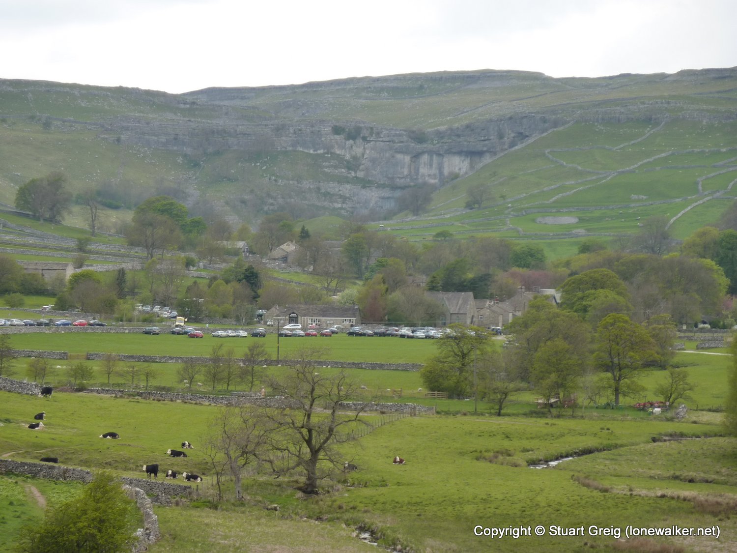
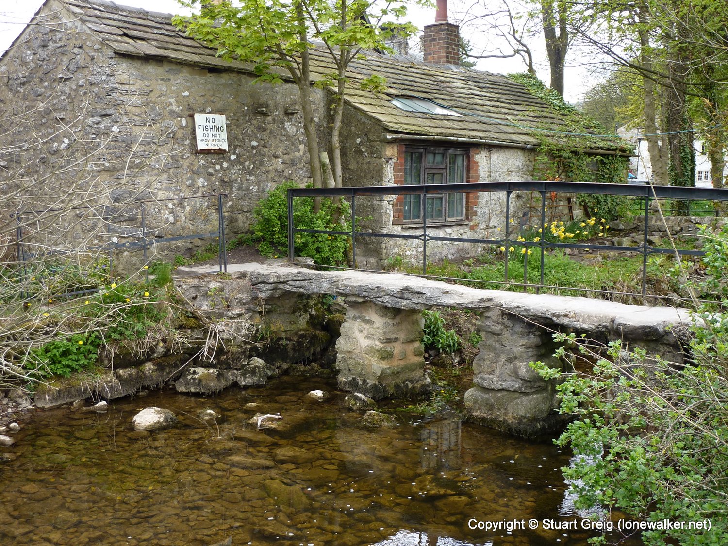
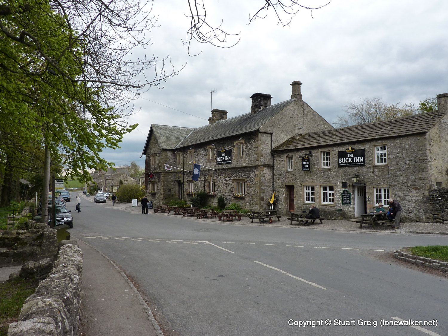
Route Description: Cowling, High Stubbing, Lothersdale, Pinhaw Beacon, Thornton-in-Craven, Langber Hill, Gargrave, Airton, Hanlith, Malham
Parking Grid Ref:
View Parking space in: OS Map or Google Street View
Walking with: Alone
Long Distance Path: Pennine Way
Link to full Walk Report: https://lonewalker.net/pennine-way-2010-day-5/
Download GPX file for this walk:
If your browser opens the file directly, right click and "Save As.."
5324 - Pinhaw Beacon (1273 ft)
TP3054 - Elslack Moor (Good condition)
Click any image to open the full screen photo gallery


Walk Name: Hebden Bridge to Cowling
Date: 2010-05-08
Distance: 16.5 mls, 26.55 km
Height Gain: 2900 ft, 883.9 m
Walk Name: Malham to Horton
Date: 2010-05-10
Distance: 15.0 mls, 24.14 km
Height Gain: 2900 ft, 883.9 m