
Date: 2010-05-11
Start: Horton-in-Ribblesdale Finish: Hawes
Distance: 13.7 mls, 22.05 km
Height Gain: 1900 ft, 579.1 m
Start Time: 08:39 End Time: 13:31
Duration: 04:52
Ave Speed: 2.8 mph
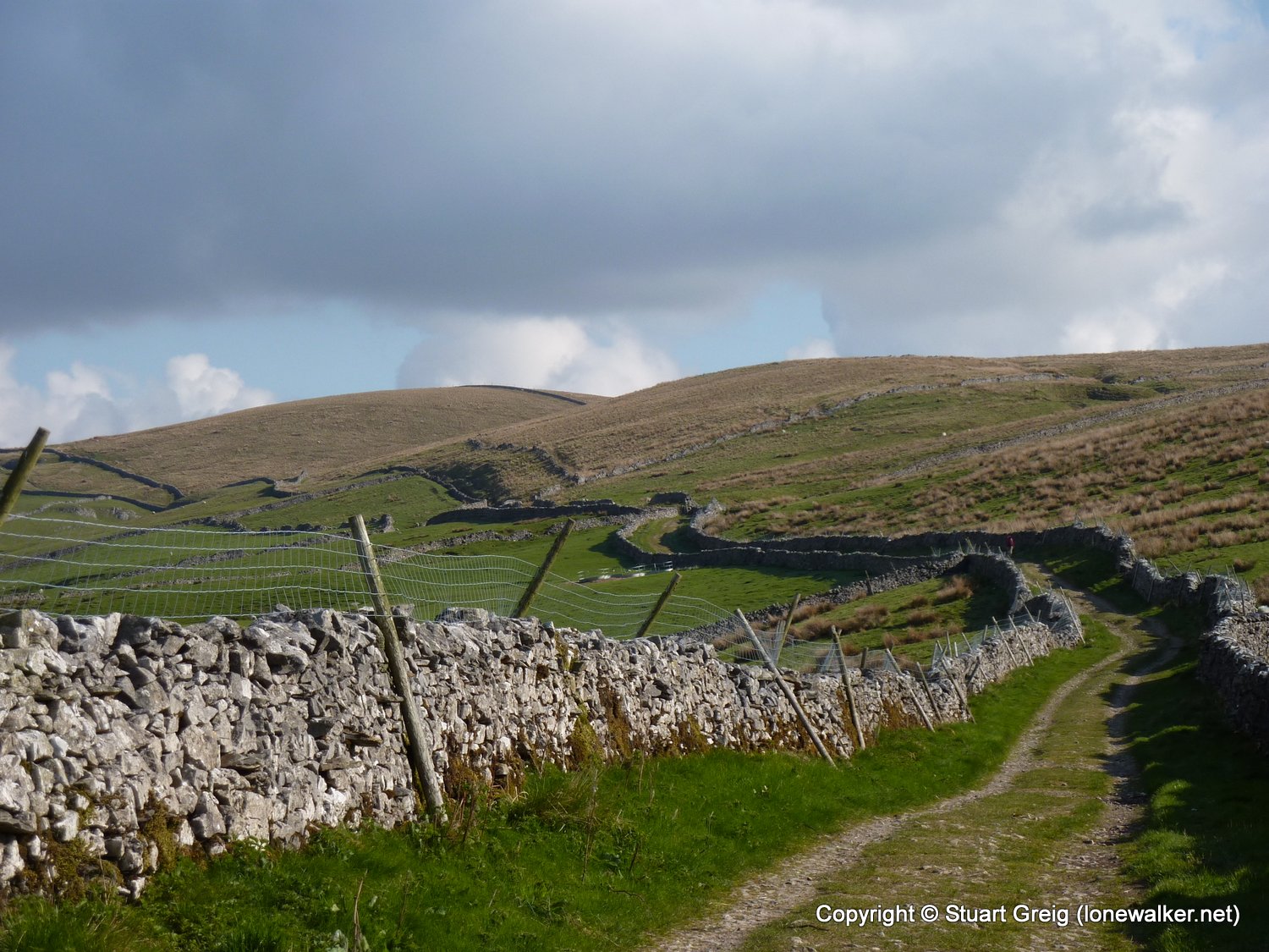
Region: Yorkshire Dales
Route Description: Horton-in-Ribblesdale, Sell Gill Holes, High Birkwith Moor, Ling Gill Bridge, Cam End, Cam High Road, West Cam Road, Rottenstone Hill, Gaudy Lane, Hawes
Parking Grid Ref:
View Parking space in: OS Map or Google Street View
Walking with: Alone
Long Distance Path: Pennine Way
Link to full Walk Report: https://lonewalker.net/pennine-way-2010-day-7/
Download GPX file for this walk:
If your browser opens the file directly, right click and "Save As.."
Click any image to open the full screen photo gallery


Walk Name: Malham to Horton
Date: 2010-05-10
Distance: 15.0 mls, 24.14 km
Height Gain: 2900 ft, 883.9 m
Walk Name: Hawes to Keld
Date: 2010-05-12
Distance: 12.5 mls, 20.12 km
Height Gain: 2400 ft, 731.5 m