
Date: 2010-05-12
Start: Hawes Finish: Keld
Distance: 12.5 mls, 20.12 km
Height Gain: 2400 ft, 731.5 m
Start Time: 09:07 End Time: 14:45
Duration: 05:38
Ave Speed: 2.2 mph
Region: Yorkshire Dales
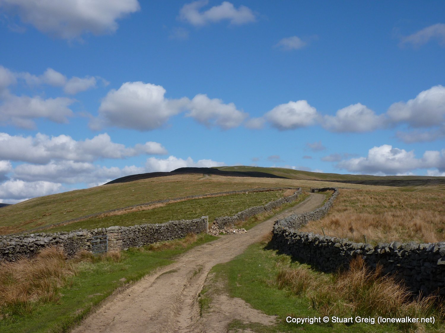
Route Description: Hawes, Hardraw, Bluebell Hill, Hearne Top, Great Shunner Fell, Thwaite, Kisdon, Keld
Parking Grid Ref:
View Parking space in: OS Map or Google Street View
Walking with: Alone
Long Distance Path: Pennine Way
Link to full Walk Report: https://lonewalker.net/pennine-way-2010-day-8/
Download GPX file for this walk:
If your browser opens the file directly, right click and "Save As.."
2716 - Great Shunner Fell (2349 ft)
TP3468 - Great Shunner Fell (Good condition)
Click any image to open the full screen photo gallery


Walk Name: Horton to Hawes
Date: 2010-05-11
Distance: 13.7 mls, 22.05 km
Height Gain: 1900 ft, 579.1 m
Walk Name: Keld to Bowes
Date: 2010-05-13
Distance: 13.0 mls, 20.92 km
Height Gain: 1300 ft, 396.2 m