
Date: 2010-05-13
Start: Keld Finish: Bowes
Distance: 13.0 mls, 20.92 km
Height Gain: 1300 ft, 396.2 m
Start Time: 08:56 End Time: 14:52
Duration: 05:56
Ave Speed: 2.2 mph
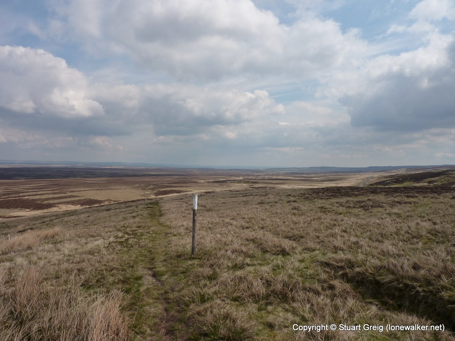
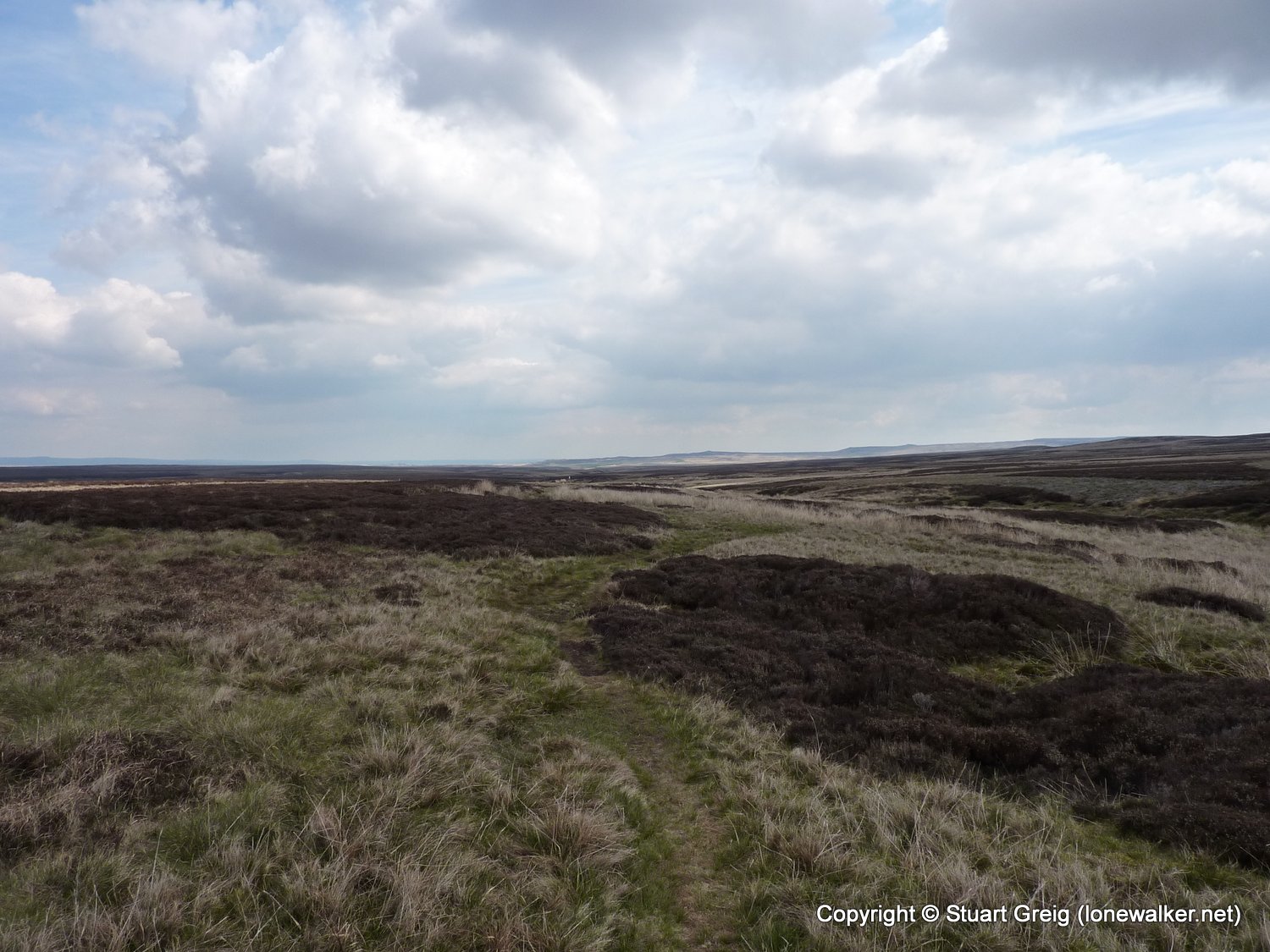
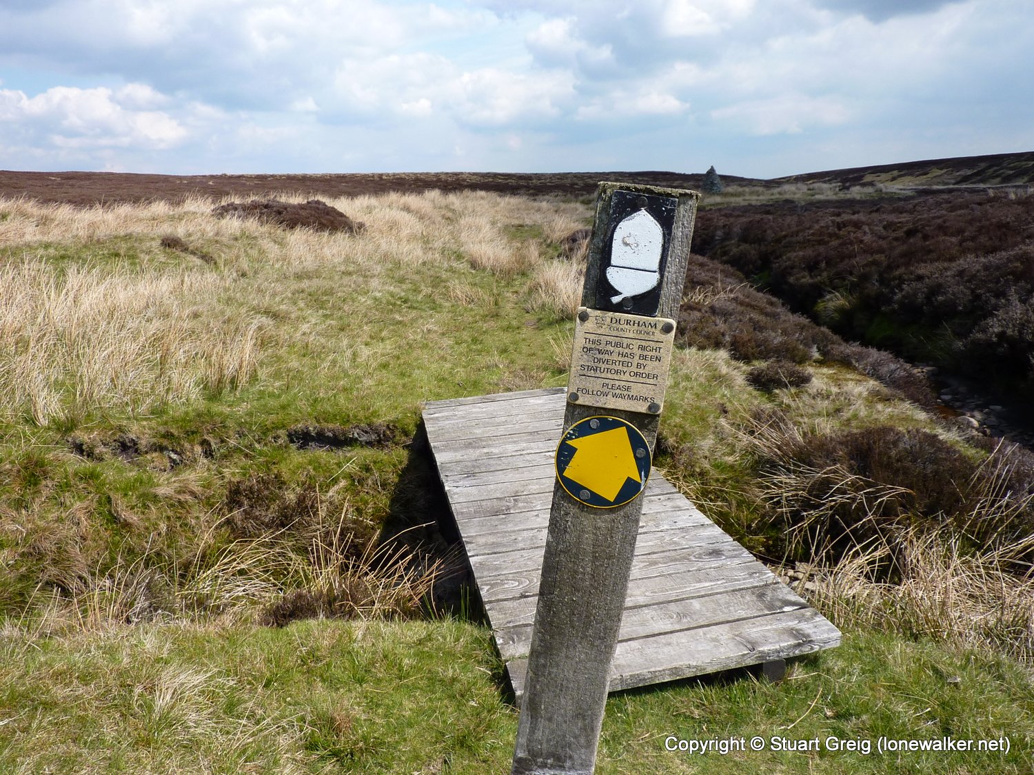
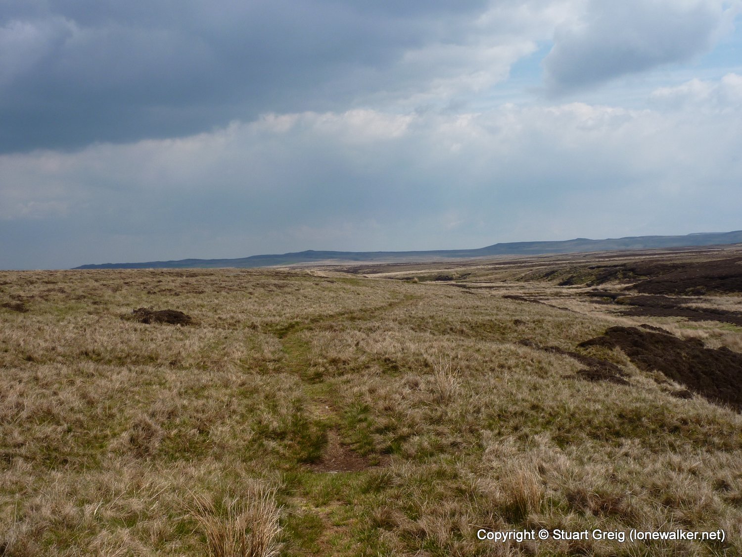
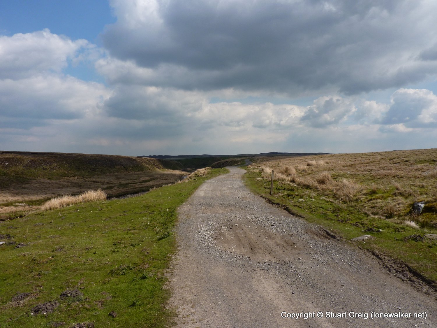
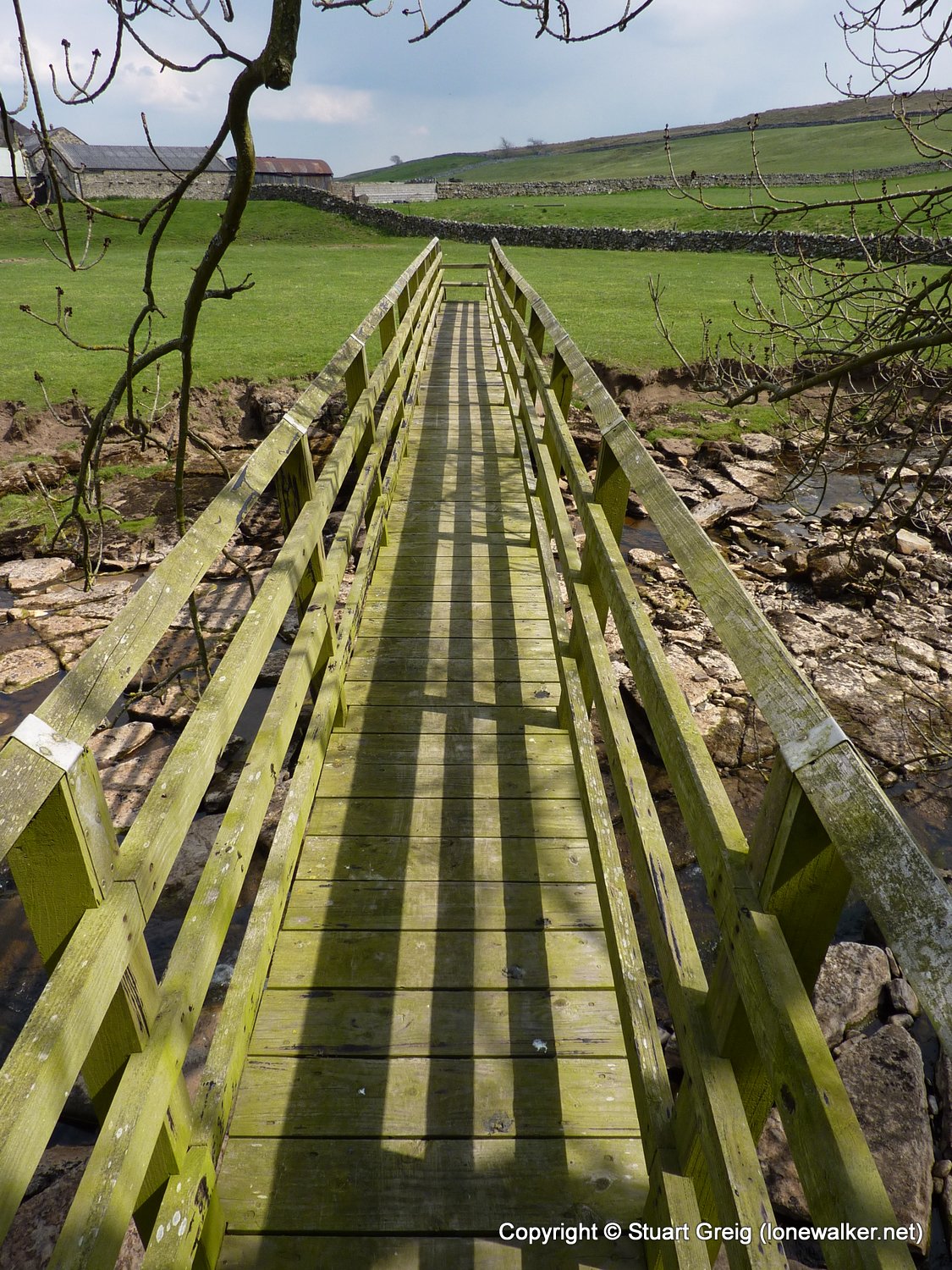
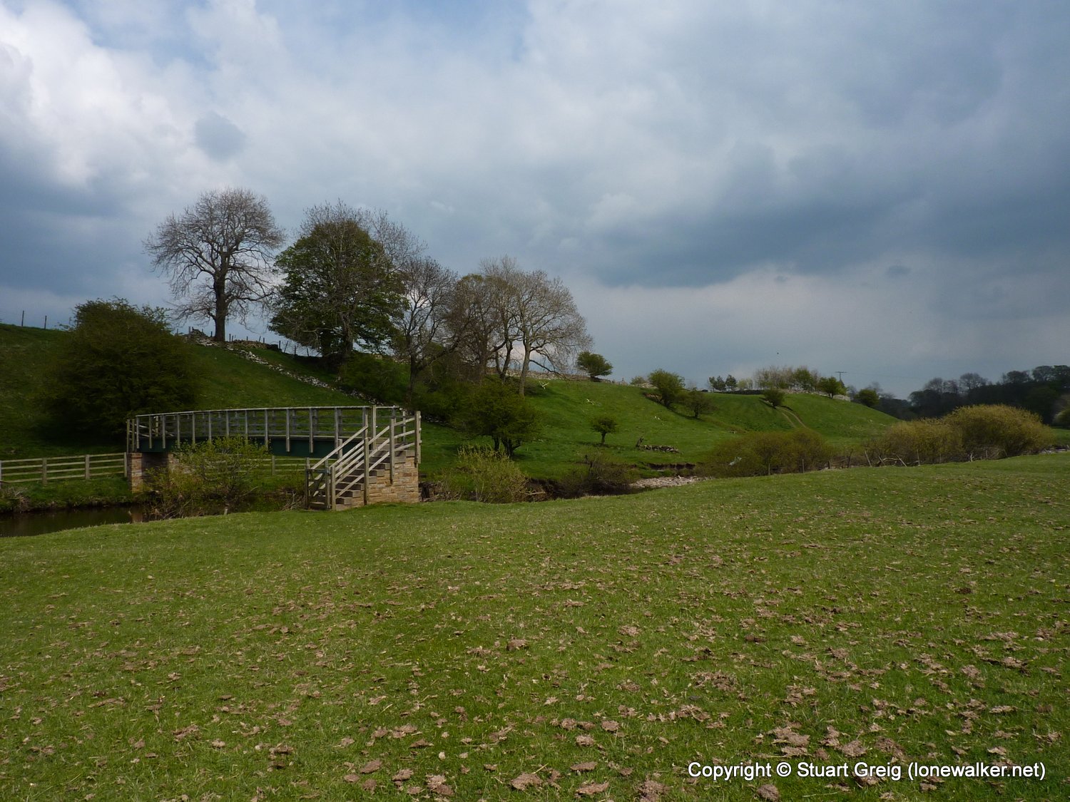
Region: Yorkshire Dales
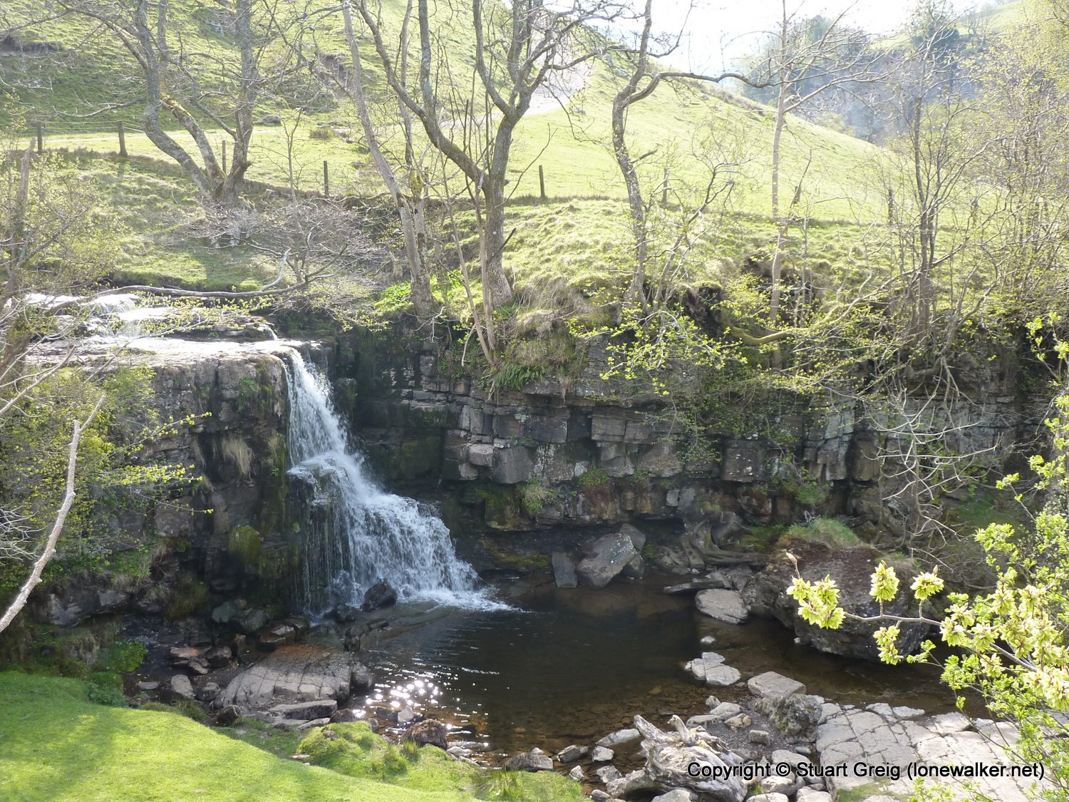
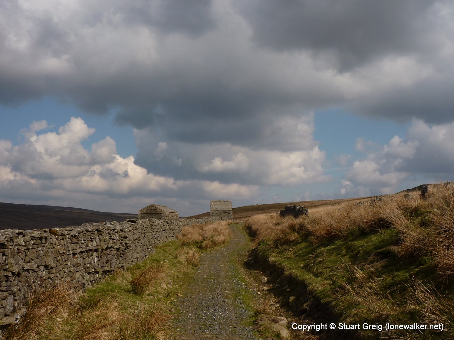
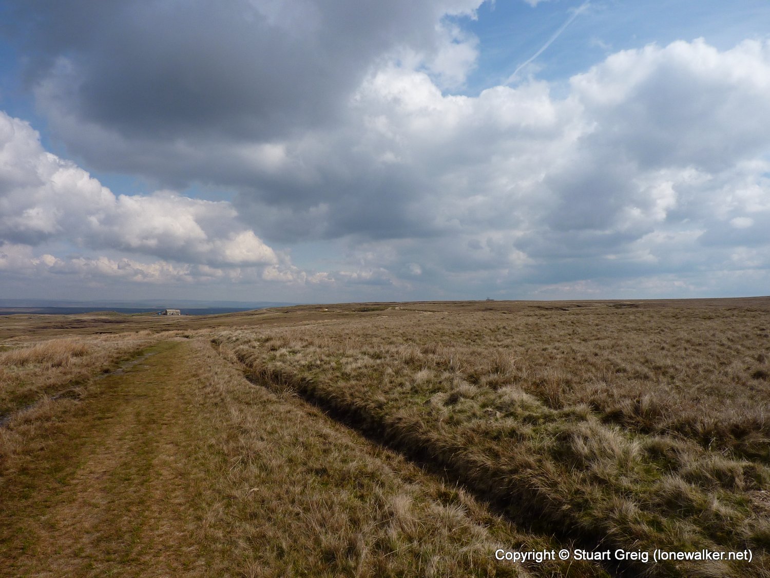
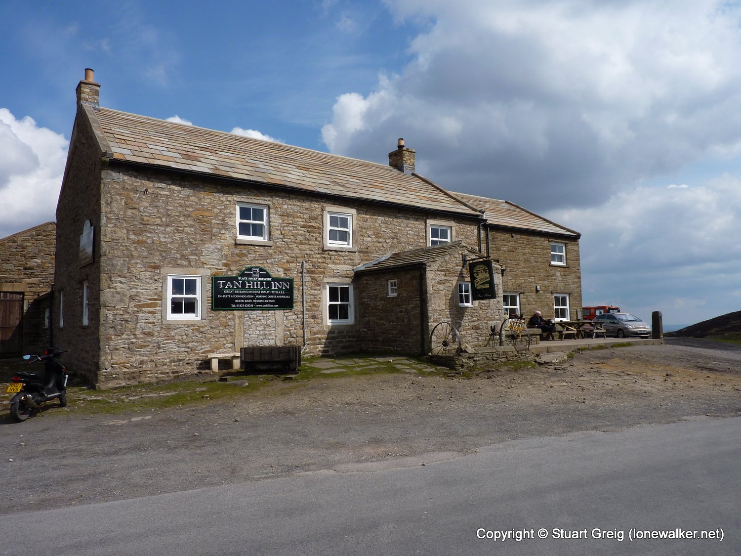
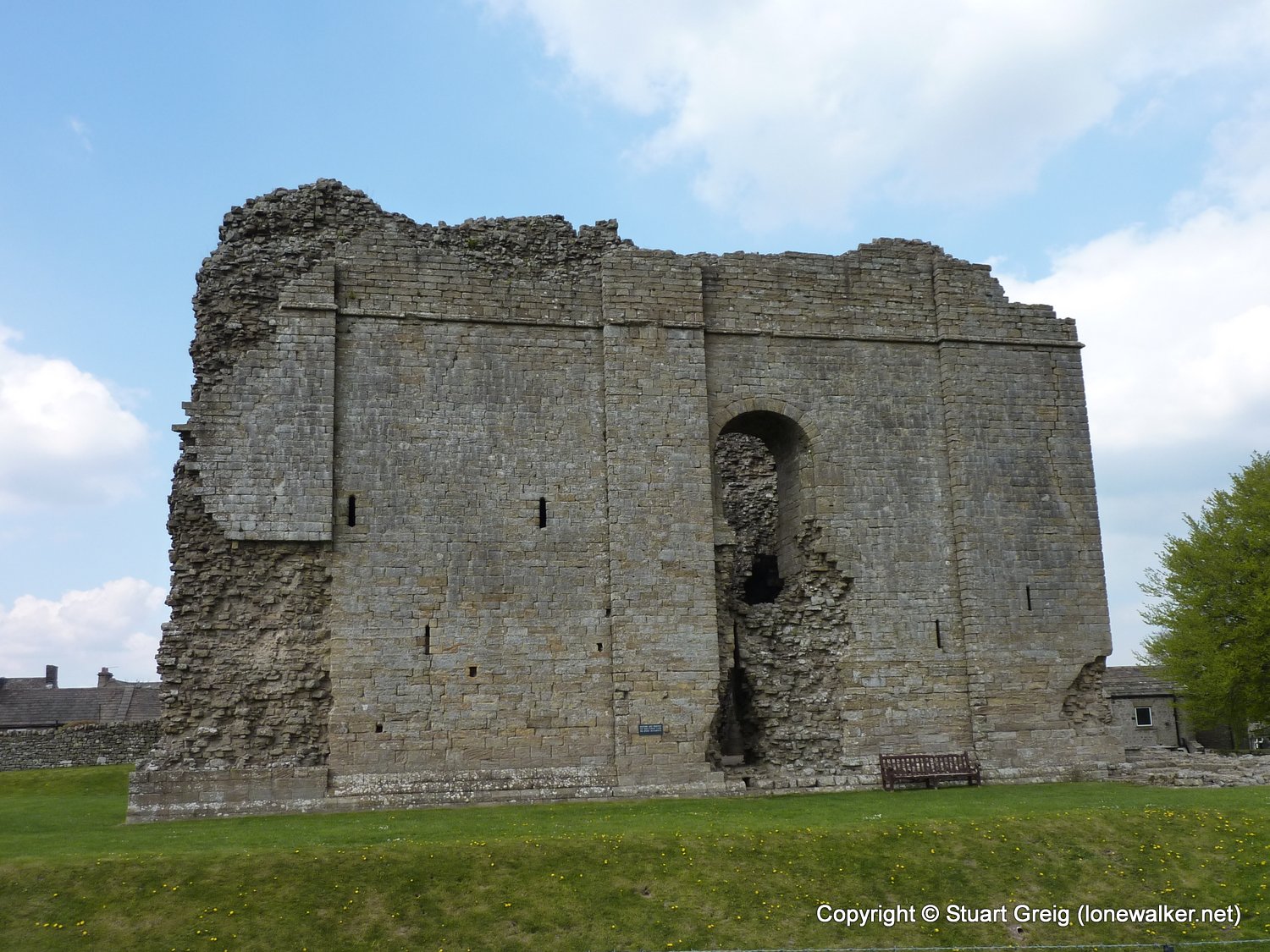
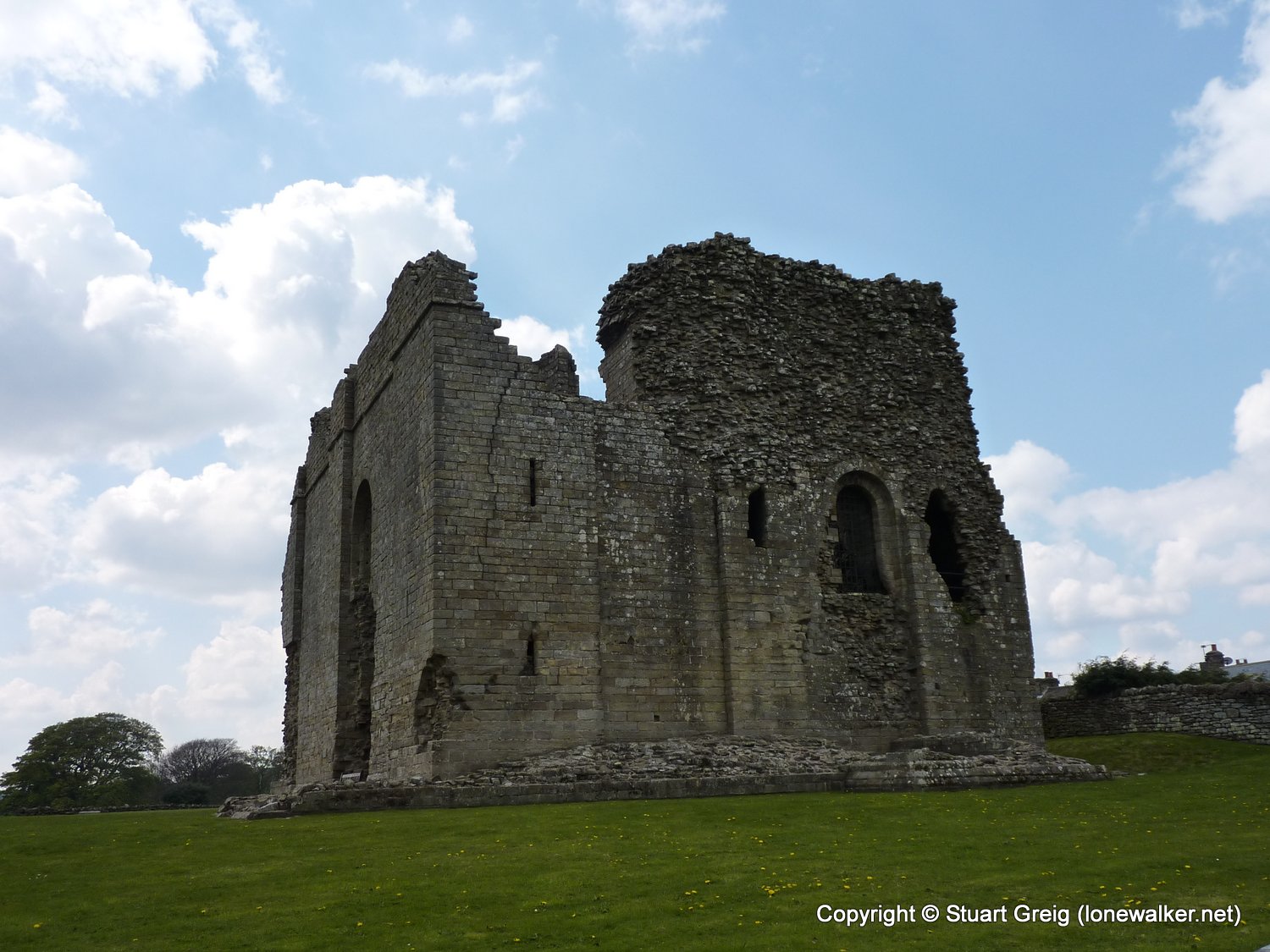
Route Description: Keld, Low Brown Hill, Stonesdale Moor, Tan Hill, Sleightholme Moor, Mellwaters, Bowes
Parking Grid Ref:
View Parking space in: OS Map or Google Street View
Walking with: Alone
Long Distance Path: Pennine Way
Link to full Walk Report: https://lonewalker.net/pennine-way-2010-day-9/
Download GPX file for this walk:
If your browser opens the file directly, right click and "Save As.."
Click any image to open the full screen photo gallery
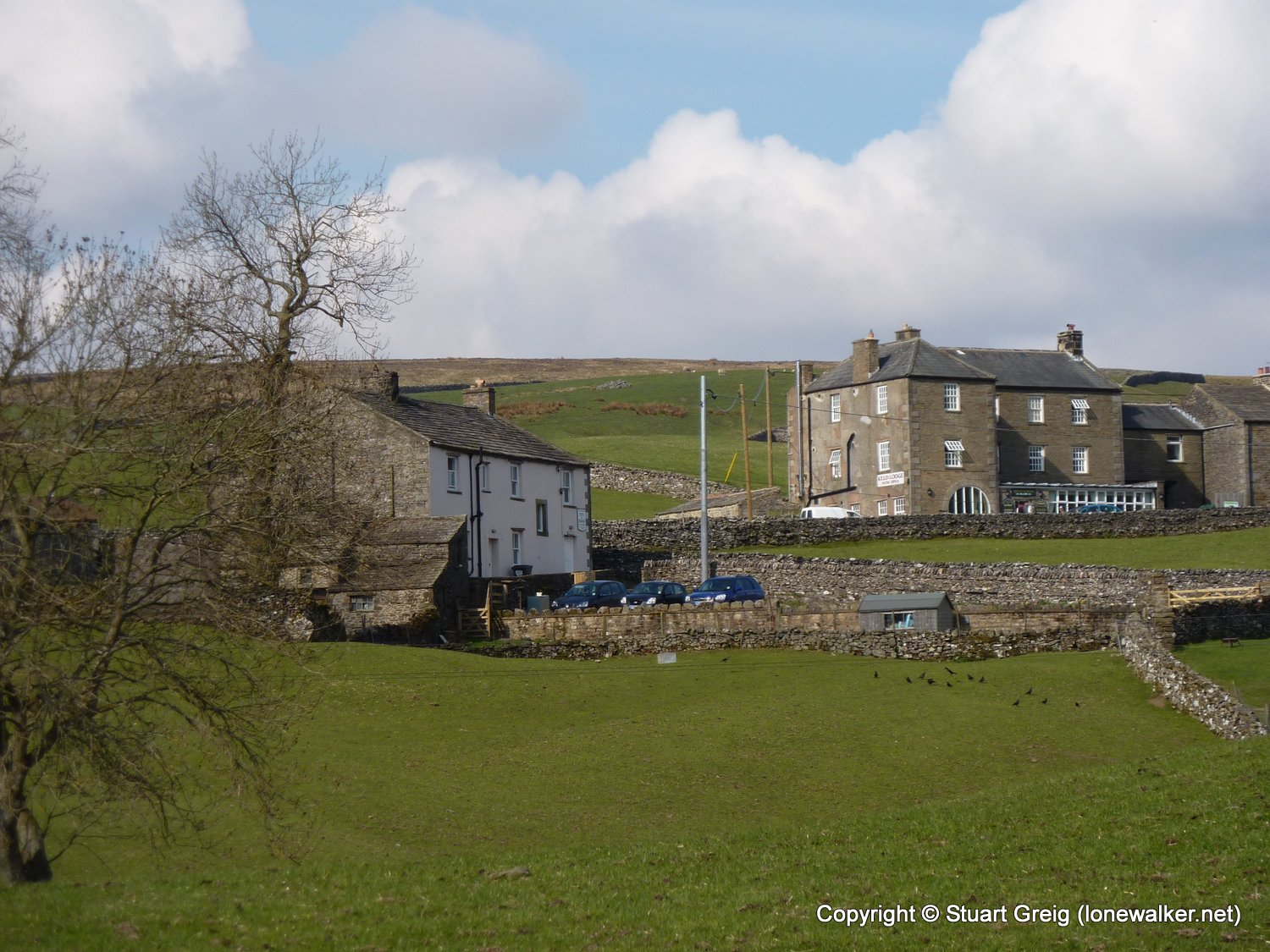
Walk Name: Hawes to Keld
Date: 2010-05-12
Distance: 12.5 mls, 20.12 km
Height Gain: 2400 ft, 731.5 m
Walk Name: Bowes to Middleton
Date: 2010-05-14
Distance: 13.0 mls, 20.92 km
Height Gain: 1700 ft, 518.2 m