
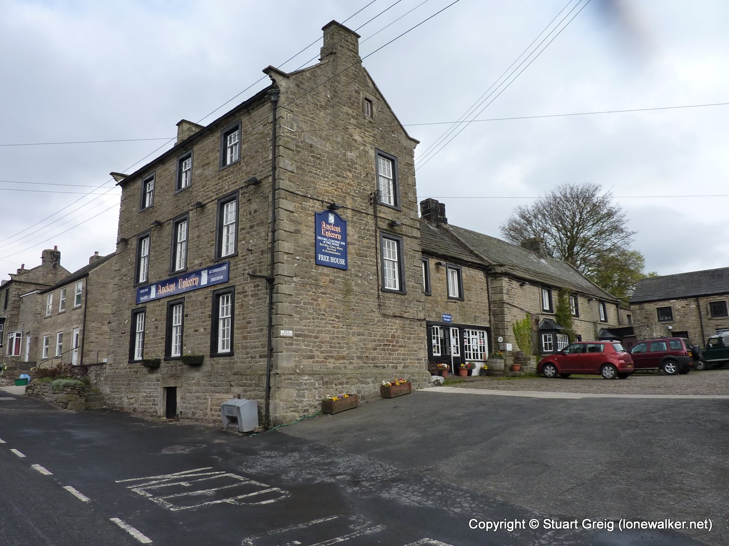
Date: 2010-05-14
Start: Bowes Finish: Middleton-in-Teesdale
Distance: 13.0 mls, 20.92 km
Height Gain: 1700 ft, 518.2 m
Start Time: 09:02 End Time: 14:07
Duration: 05:05
Ave Speed: 2.6 mph
Region: Northern Pennines
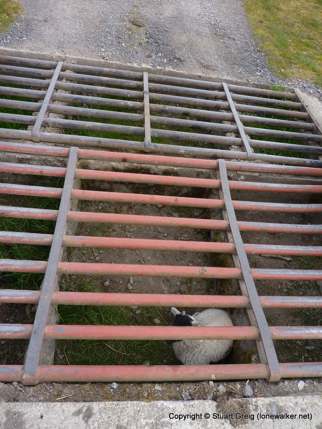
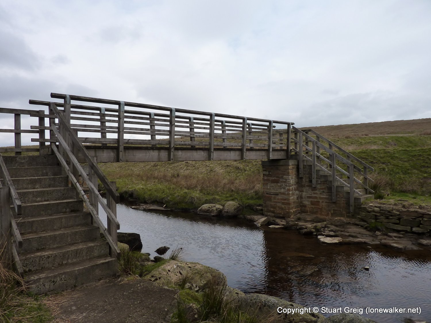
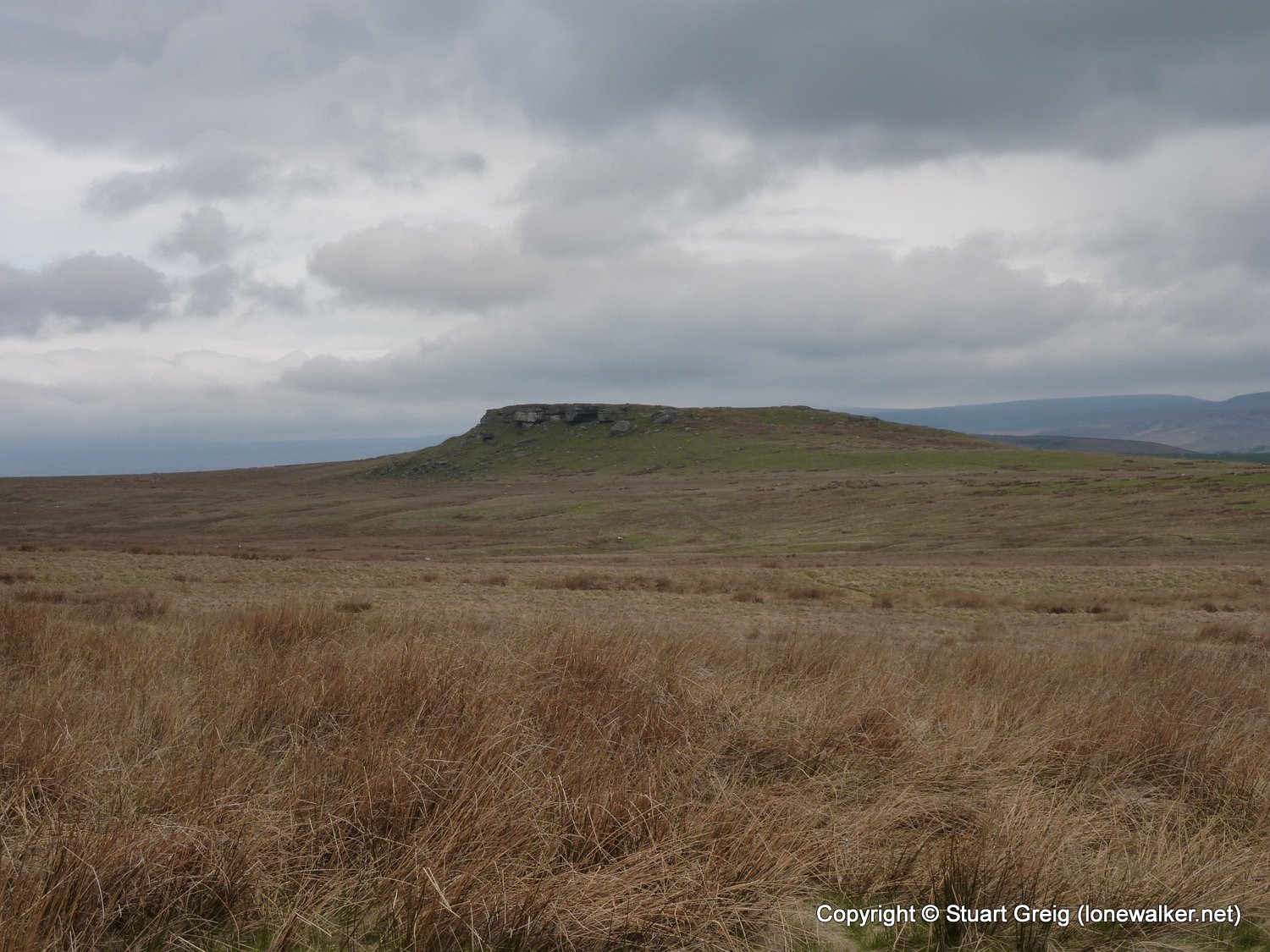
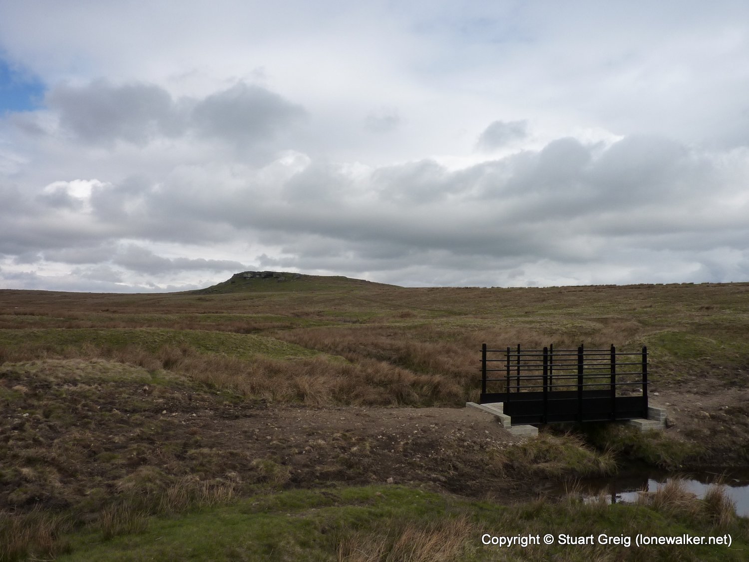
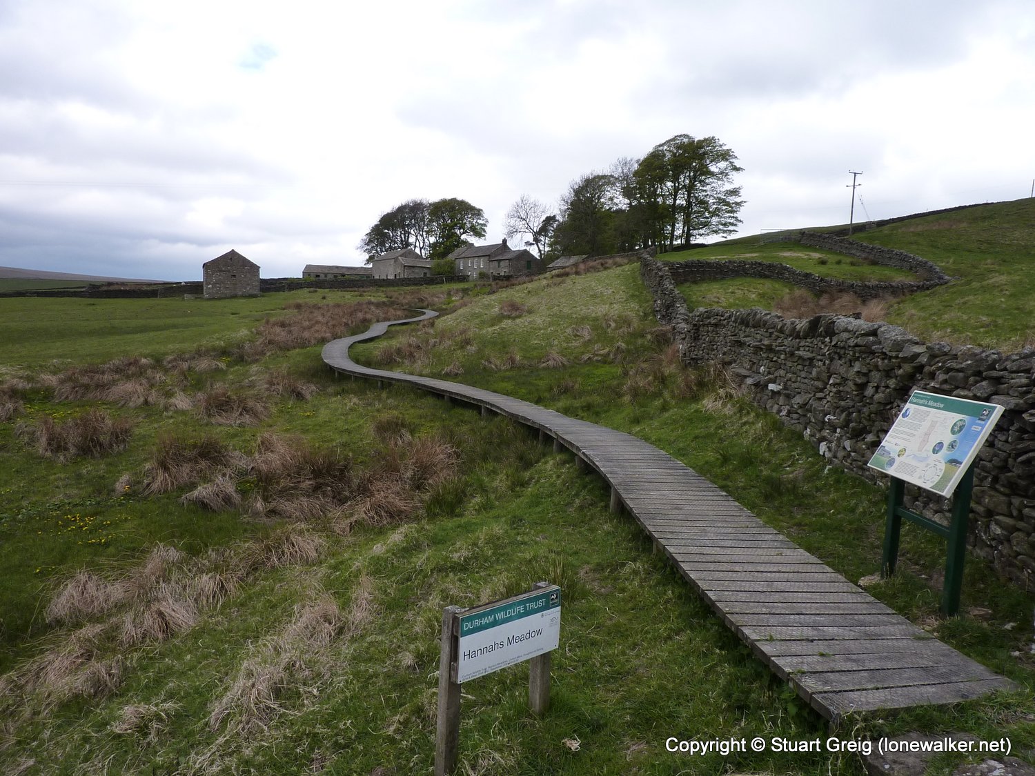
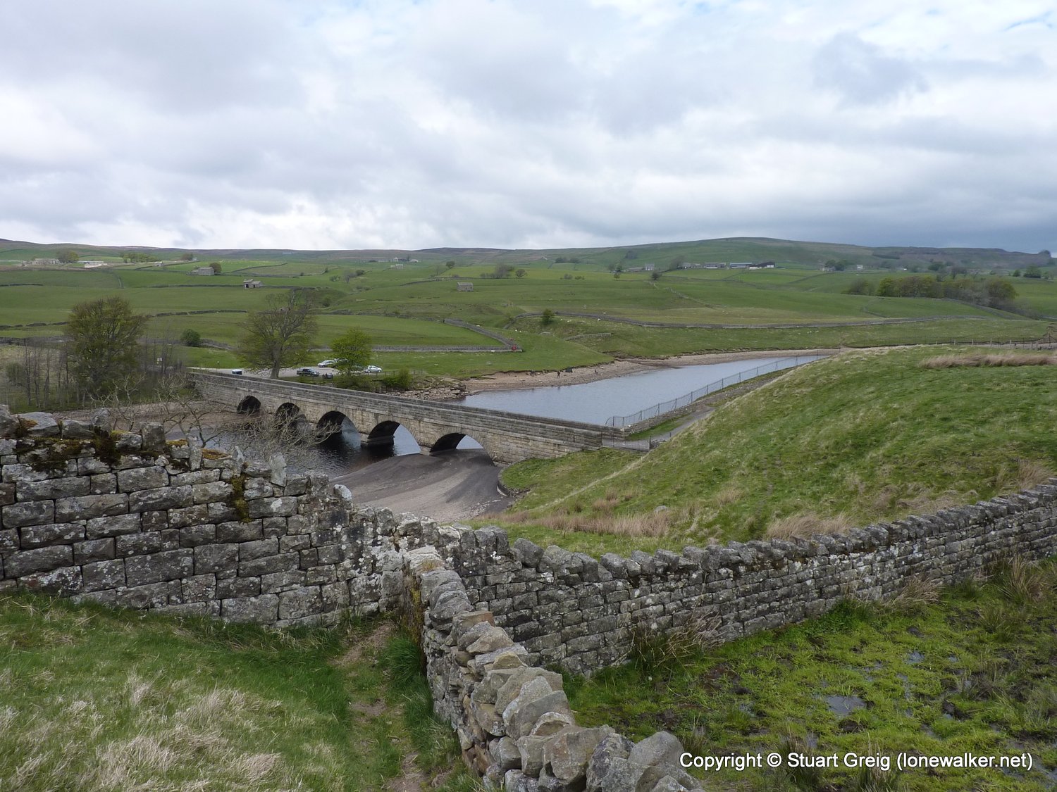
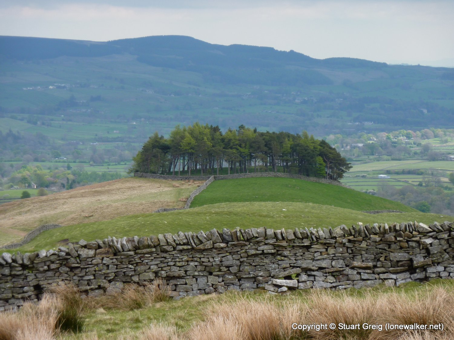
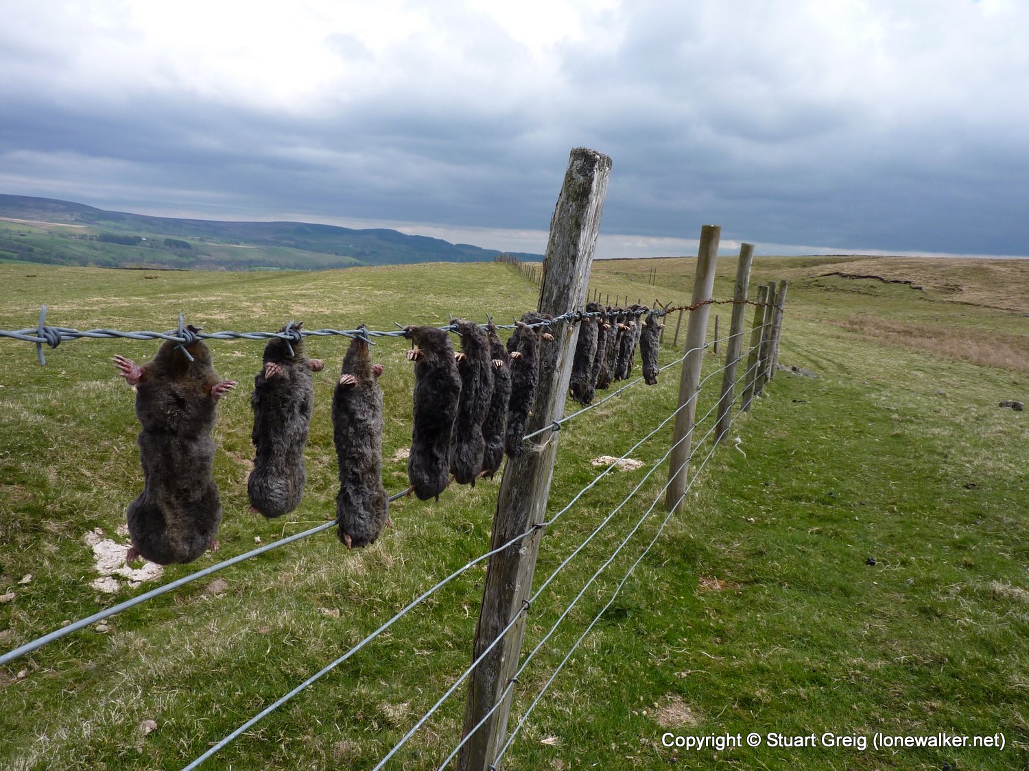
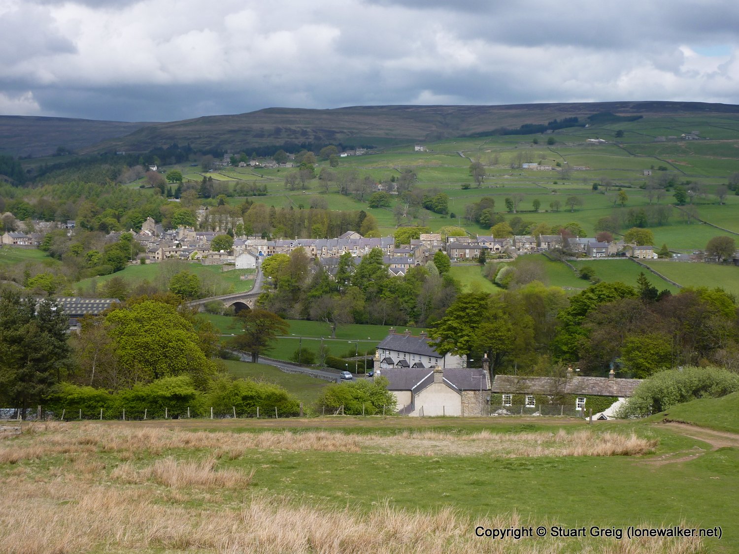
Route Description: Bowes, Deep Dale, Cotherstone Moor, Blackton Res, Hannahs Meadow, Lunedale, Harter Fell, Middleton-in-Teesdale
Parking Grid Ref:
View Parking space in: OS Map or Google Street View
Walking with: Alone
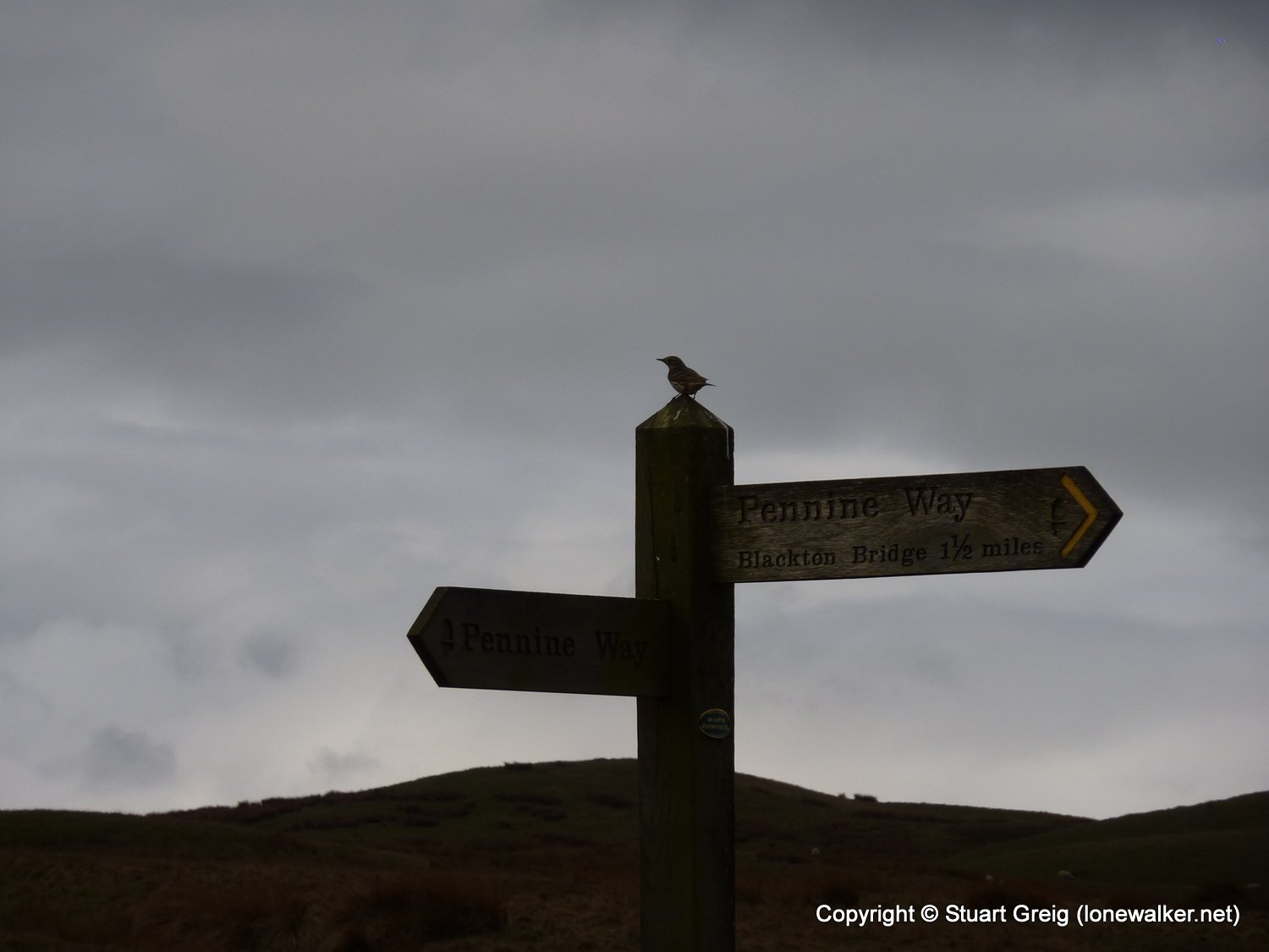
Long Distance Path: Pennine Way
Link to full Walk Report: https://lonewalker.net/pennine-way-2010-day-10/
Download GPX file for this walk:
If your browser opens the file directly, right click and "Save As.."
TP3654 - Harter Fell (Good condition)
Click any image to open the full screen photo gallery


Walk Name: Keld to Bowes
Date: 2010-05-13
Distance: 13.0 mls, 20.92 km
Height Gain: 1300 ft, 396.2 m
Walk Name: Middleton to Dufton
Date: 2010-05-15
Distance: 20.5 mls, 32.99 km
Height Gain: 2500 ft, 762.0 m