
Date: 2010-11-27
Start: Malham Tarn Finish: Malham Tarn
Distance: 9.0 mls, 14.48 km
Height Gain: 1100 ft, 335.3 m
Start Time: 07:58 End Time: 11:10
Duration: 03:12
Ave Speed: 2.8 mph
Region: Yorkshire Dales
Route Description: Malham Tarn, Street Gate, Mastiles Lane, Proctor High Mark, Lee Gate High Mark, Parsons Pulpit, Middle House Farm, Malham Tarn
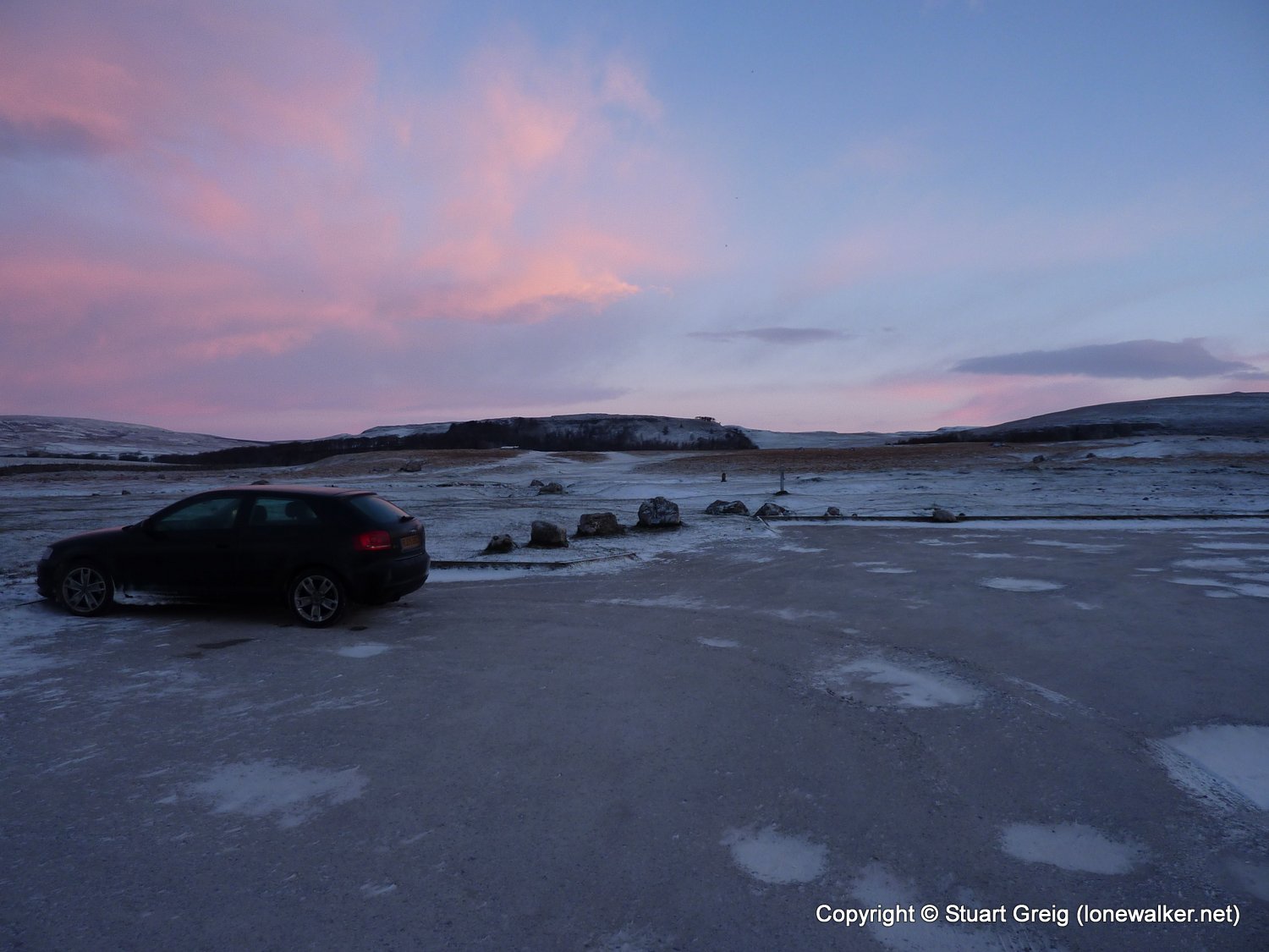
Parking Grid Ref: SD 89417 65811
View Parking space in: OS Map or Google Street View
Walking with: Alone
Long Distance Path:
TP5320 - Parsons Pulpit (Converted condition)
Click any image to open the full screen photo gallery


Walk Name: Watlington to Buckmoorend
Date: 2010-11-20
Distance: 15.0 mls, 24.14 km
Height Gain: 1600 ft, 487.7 m
Walk Name: Ingleton Amble
Date: 2010-12-27
Distance: 4.5 mls, 7.24 km
Height Gain: 900 ft, 274.3 m