
Date: 2010-12-27
Start: Ingeton Finish: Ingeton
Distance: 4.5 mls, 7.24 km
Height Gain: 900 ft, 274.3 m
Start Time: 08:19 End Time: 09:57
Duration: 01:38
Ave Speed: 2.7 mph
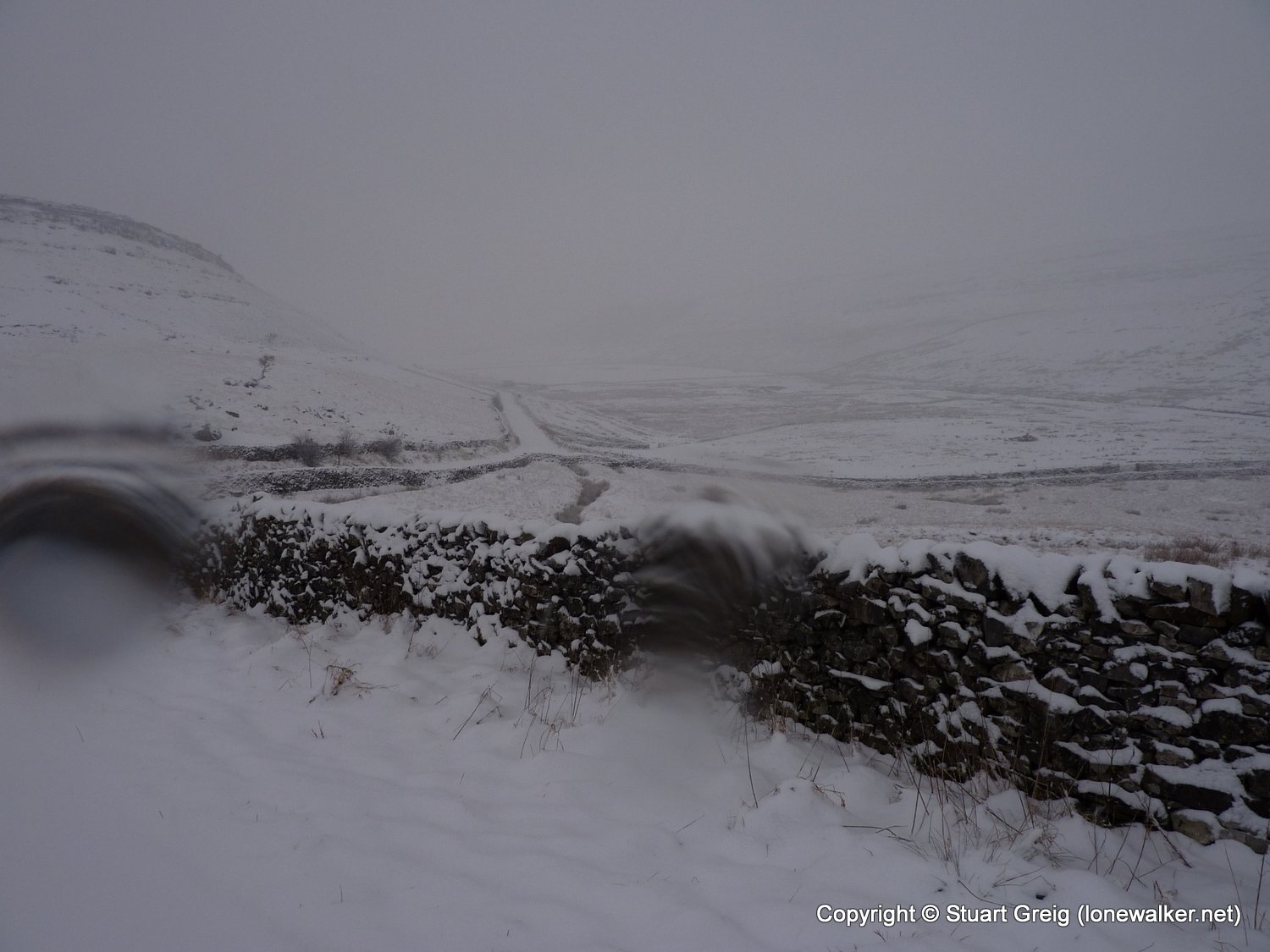
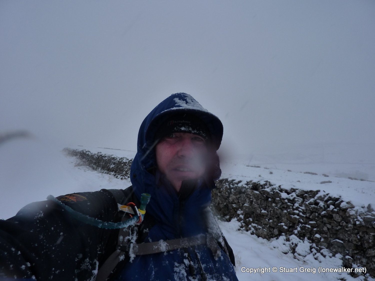
Region: Yorkshire Dales
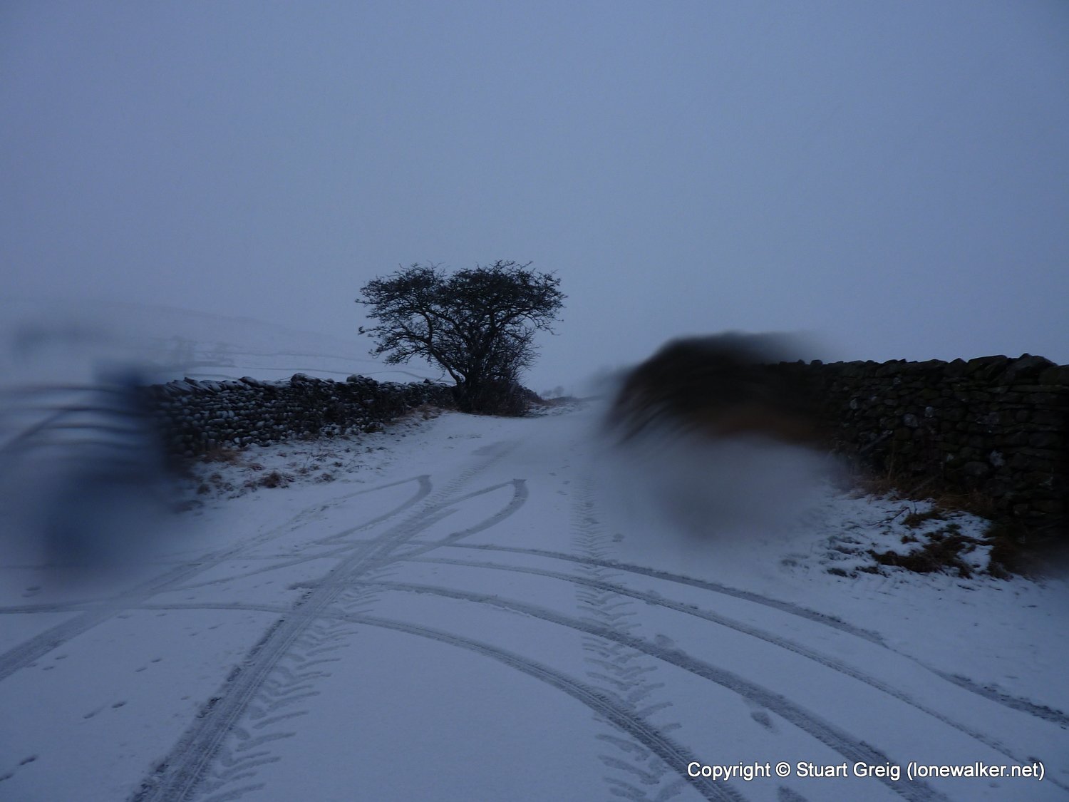
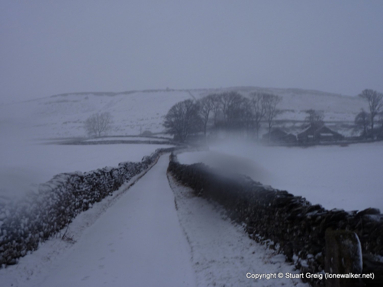
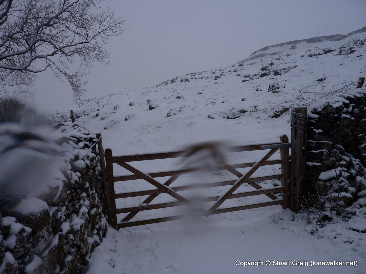
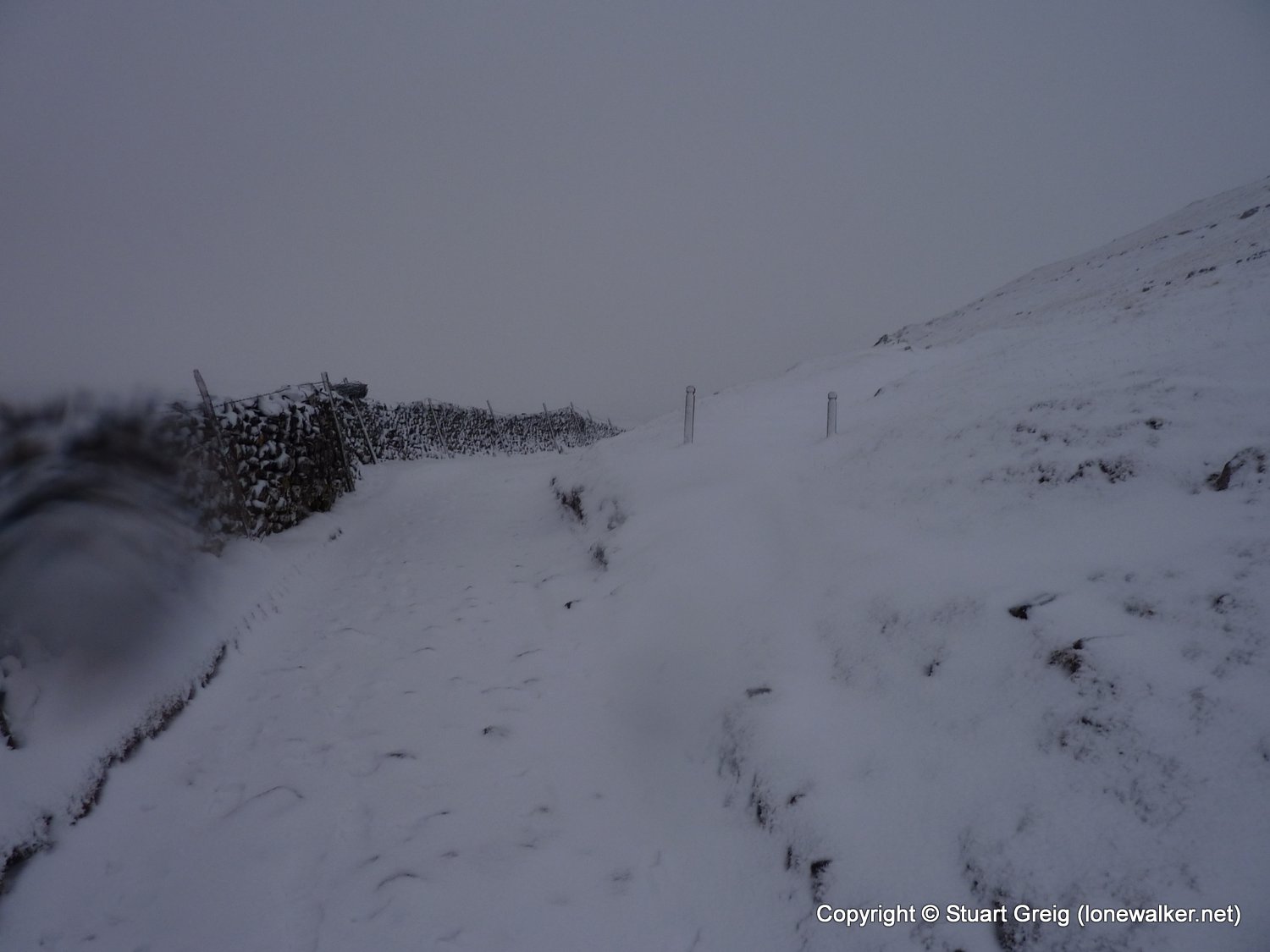
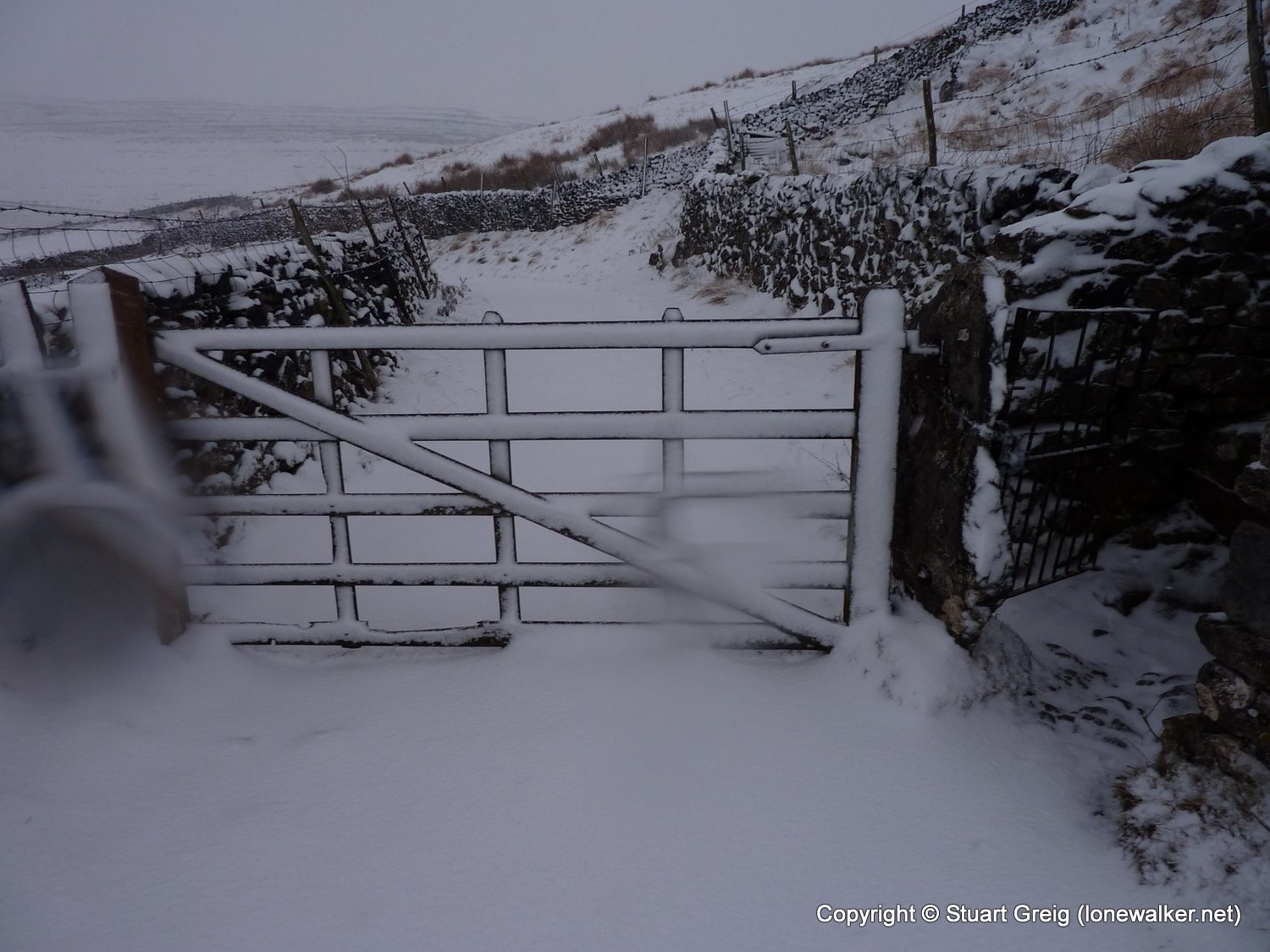
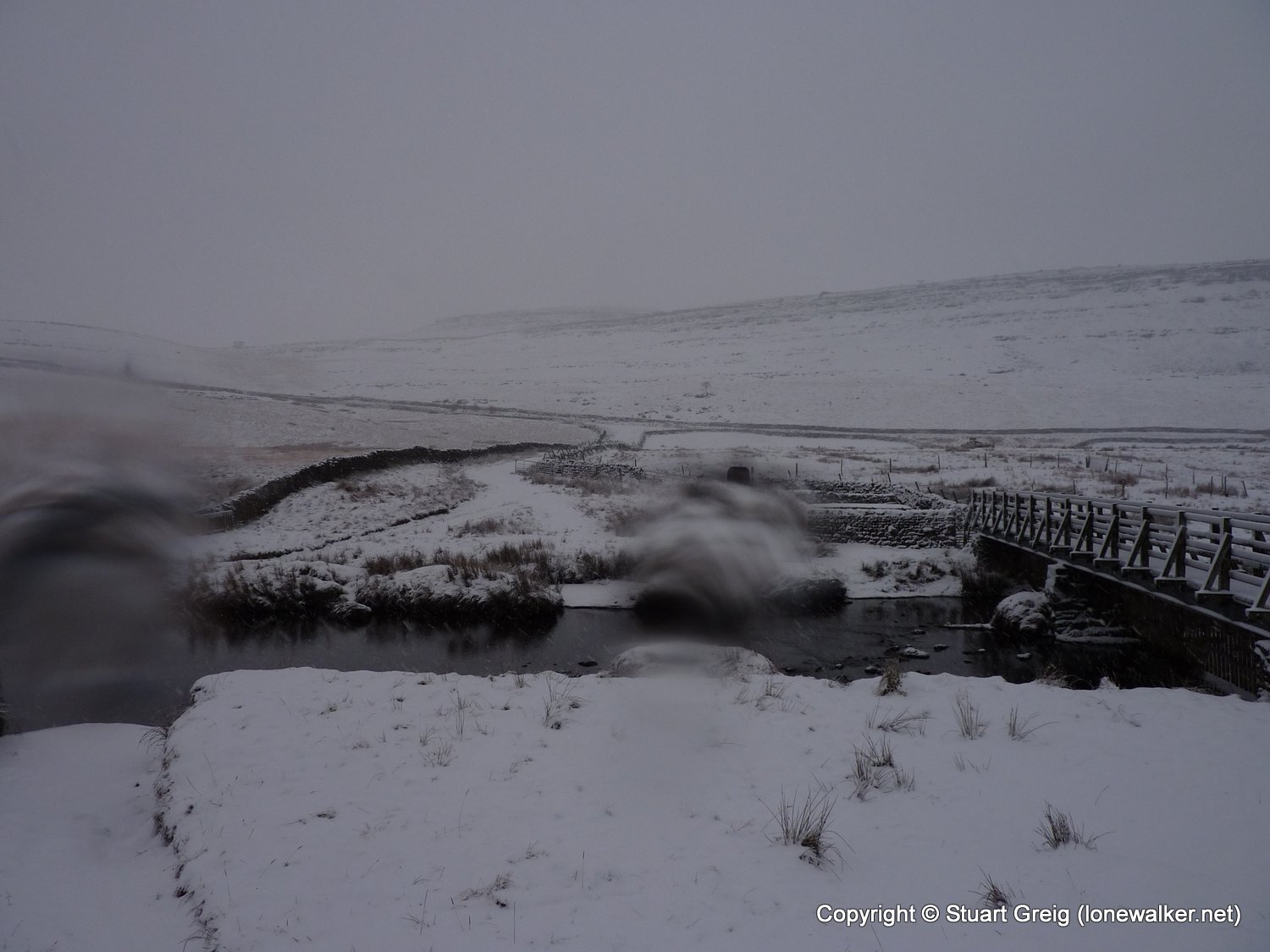
Route Description: Ingleton, Oddies Lane, Twisleton Hall, Kingsdale Road, Ingleton
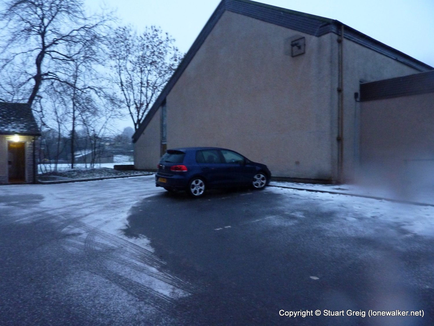
Parking Grid Ref: SD 69424 73048
View Parking space in: OS Map or Google Street View
Walking with: Alone
Long Distance Path:
Click any image to open the full screen photo gallery
Walk Name: Proctor High Mark & Parson's Pulpit
Date: 2010-11-27
Distance: 9.0 mls, 14.48 km
Height Gain: 1100 ft, 335.3 m
Walk Name: Dovestone Reservoir
Date: 2011-01-02
Distance: 11.5 mls, 18.51 km
Height Gain: 2300 ft, 701.0 m