
Date: 2011-01-22
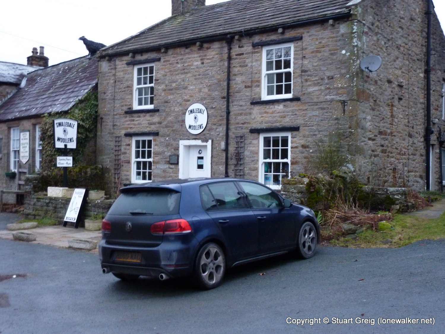
Start: Muker Finish: Muker
Distance: 11.0 mls, 17.70 km
Height Gain: 1800 ft, 548.6 m
Start Time: 08:29 End Time: 13:10
Duration: 04:41
Ave Speed: 2.3 mph
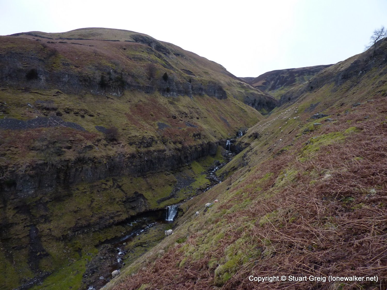
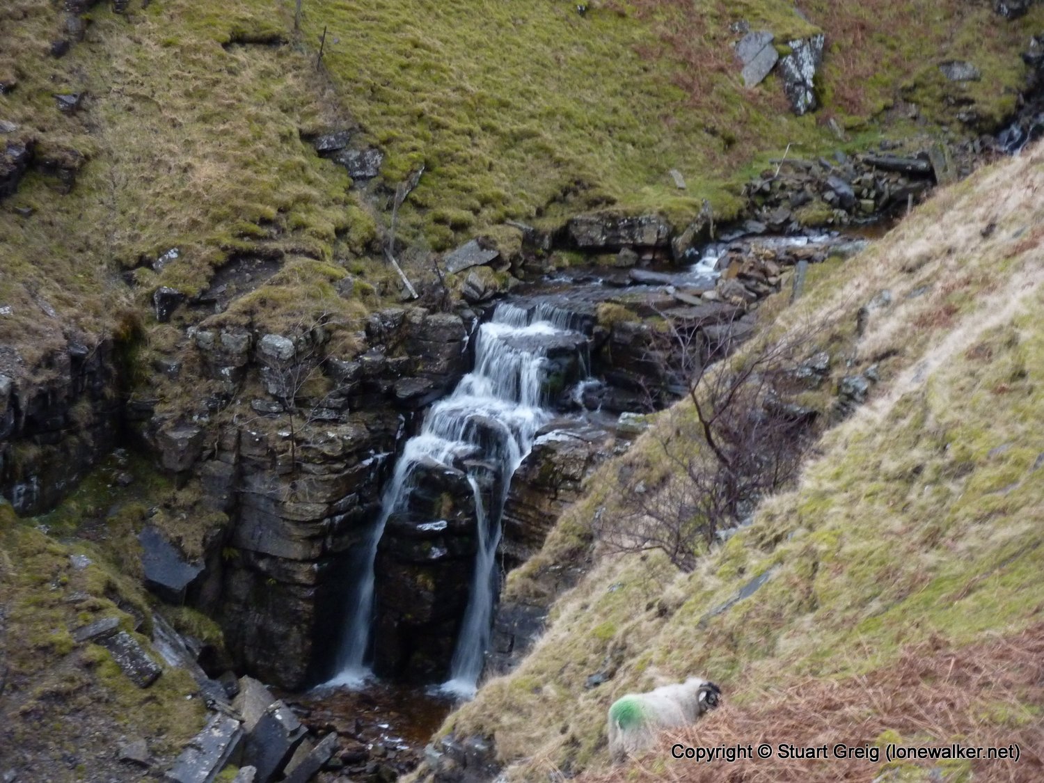
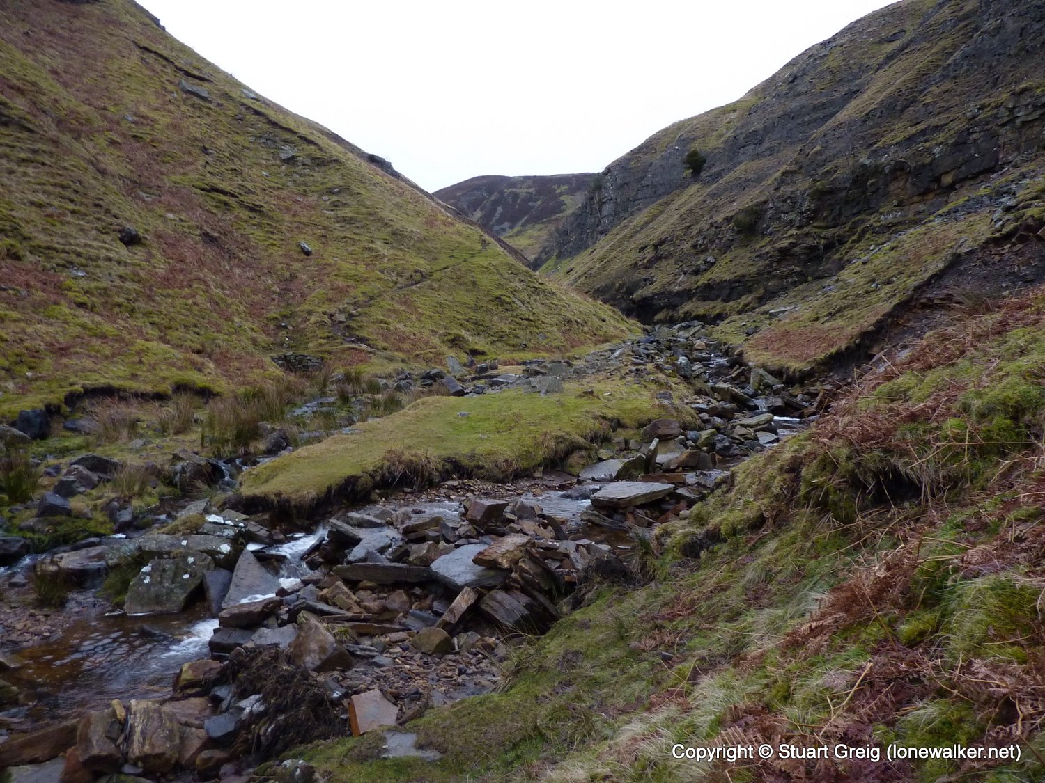
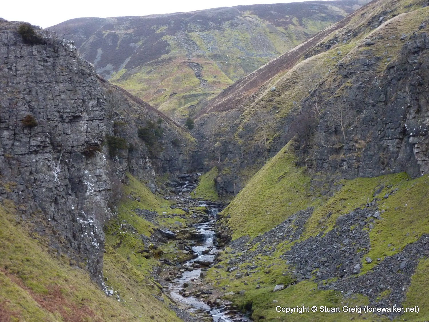
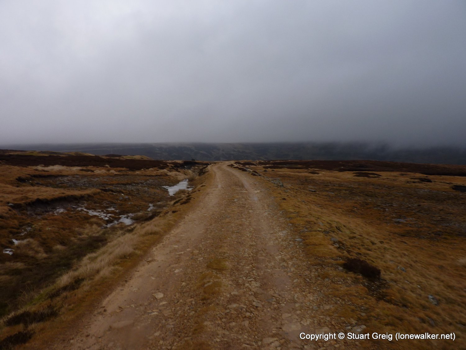
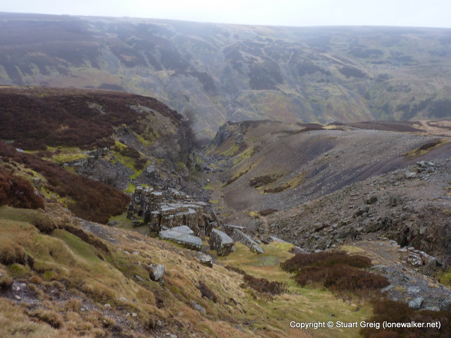
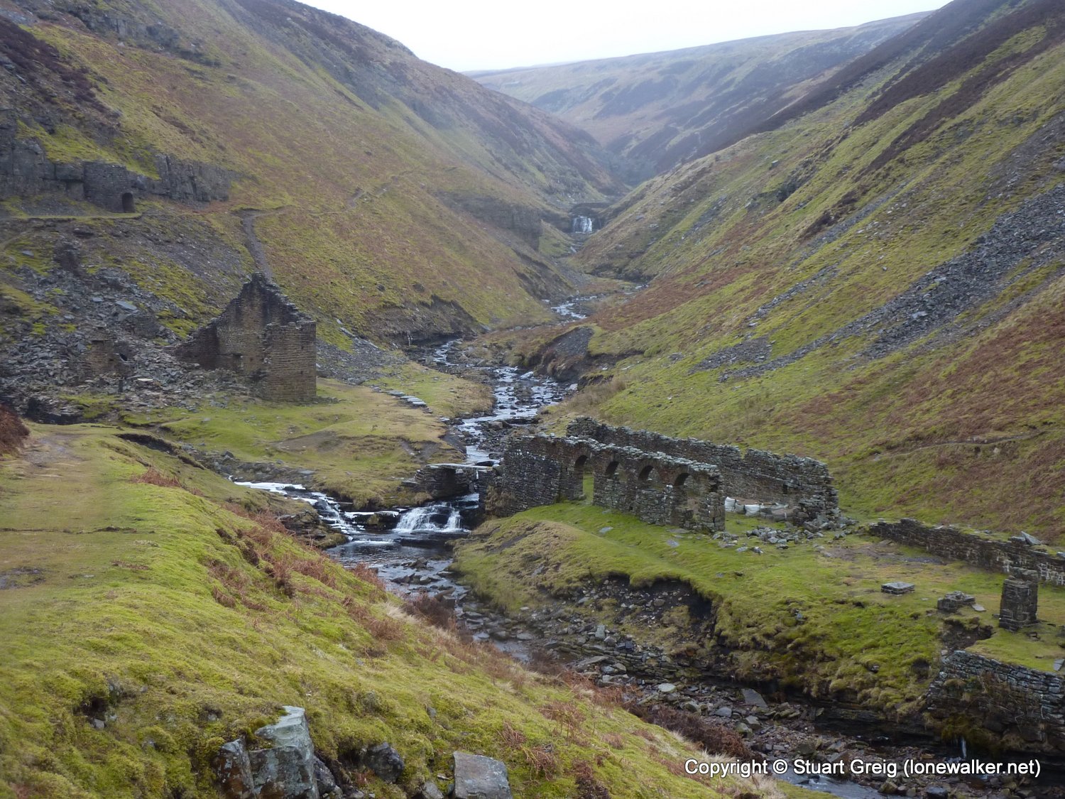
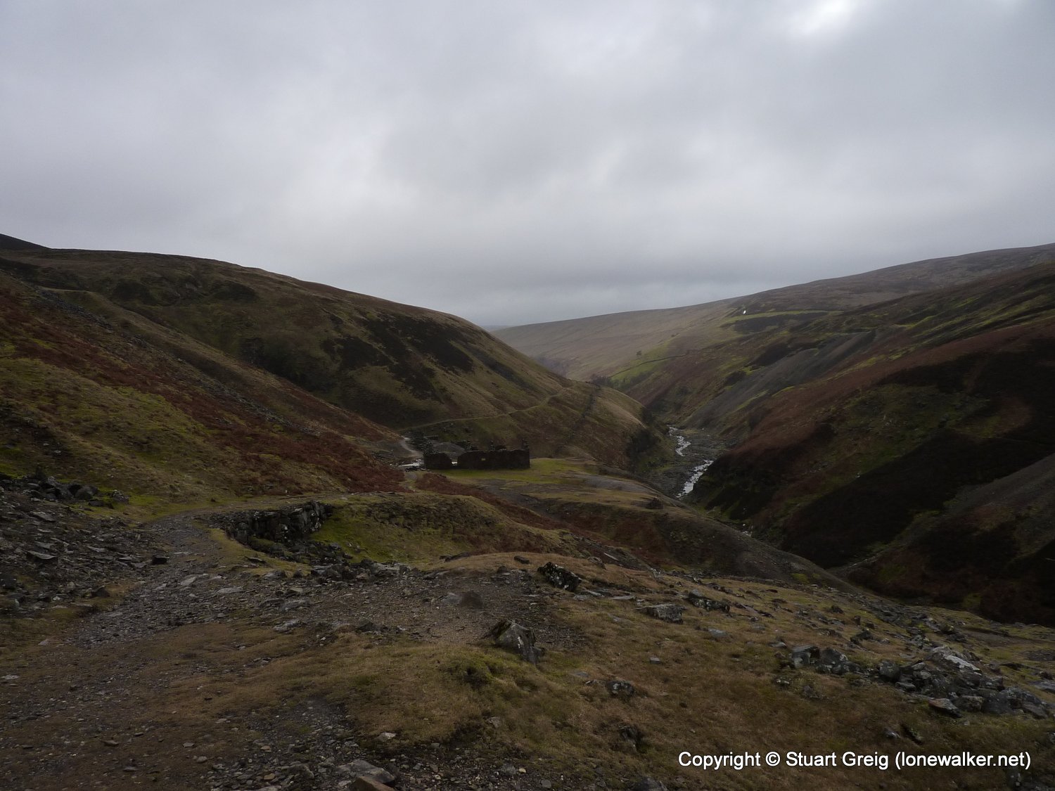
Region: Yorkshire Dales
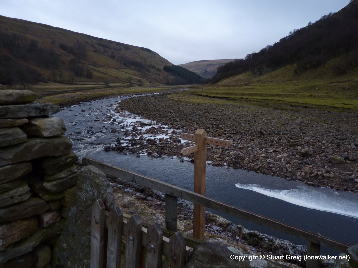
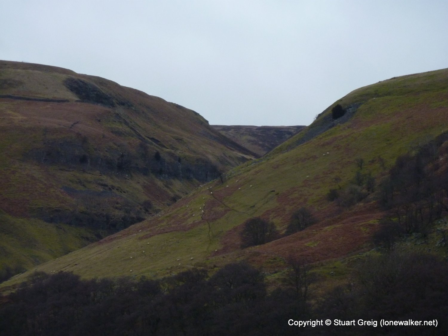
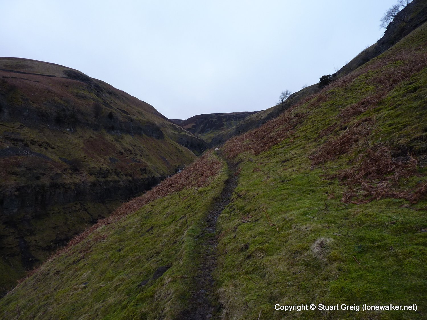
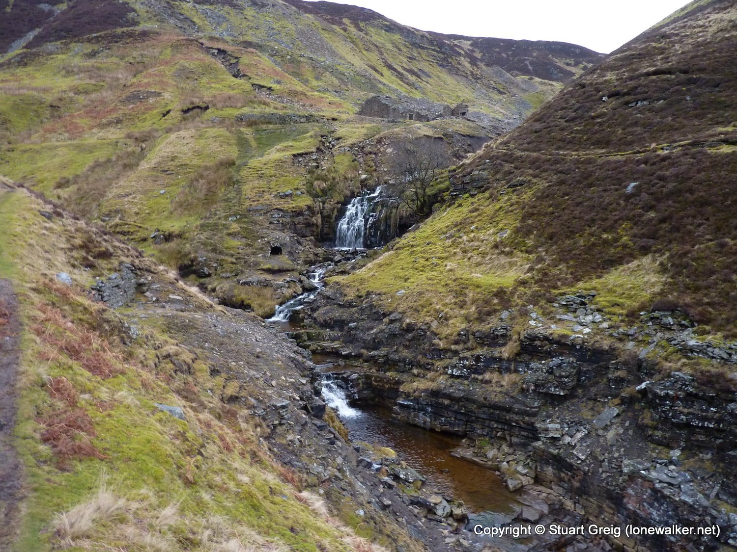
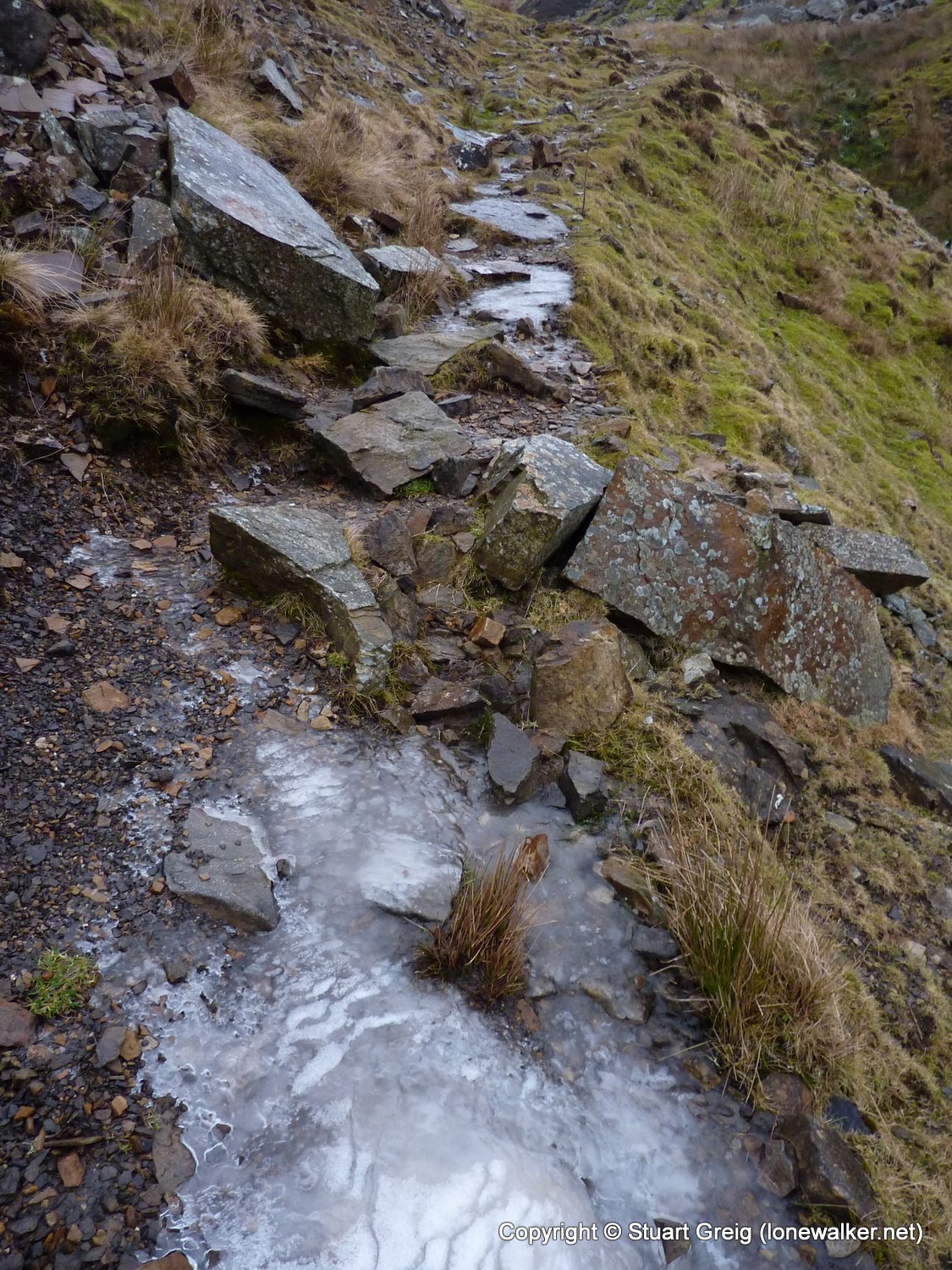
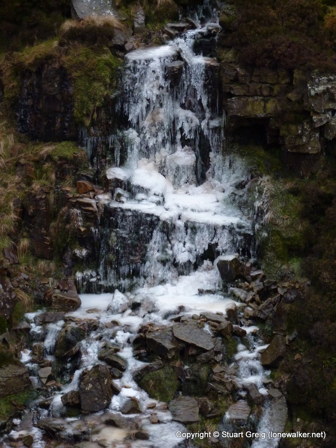
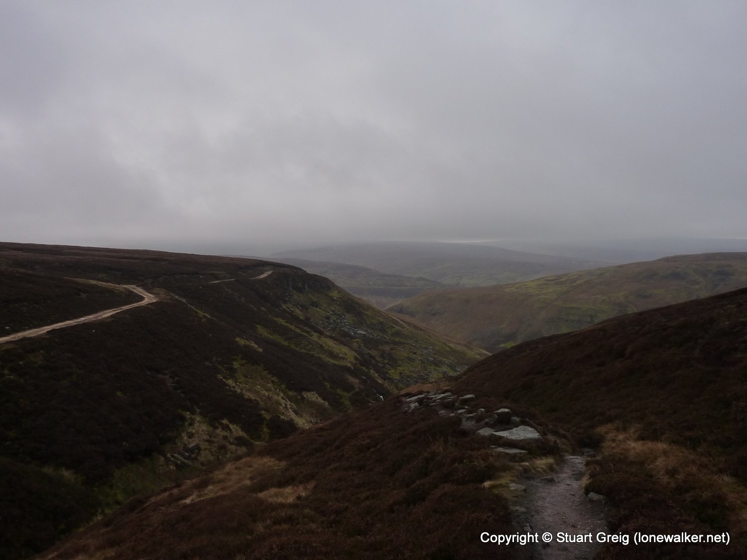
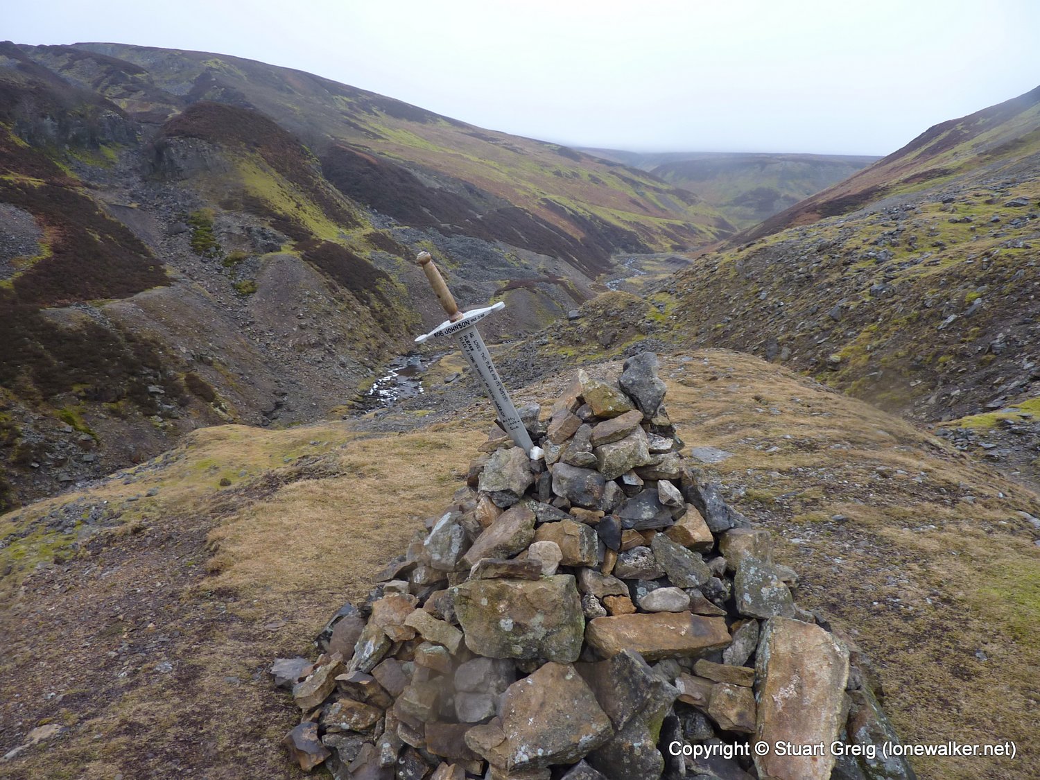
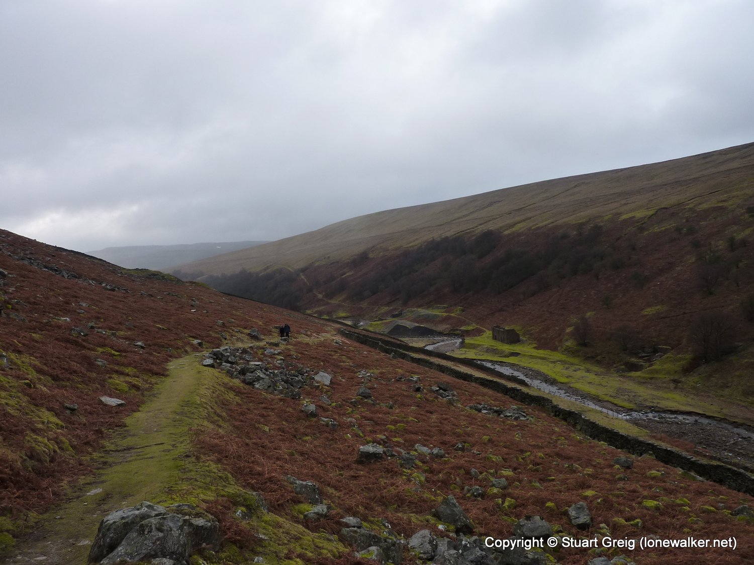
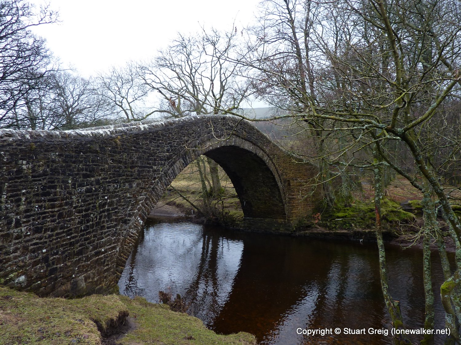
Route Description: Muker, Rampsholme Bridge, Swinner Gill, Blakethwaite Mill, Gunnerside Beck, Gunnerside, Ivelet, Muker
Parking Grid Ref: SD 90940 97880
View Parking space in: OS Map or Google Street View
Walking with: Alone
Long Distance Path:
Click any image to open the full screen photo gallery
Walk Name: Dovestone Reservoir
Date: 2011-01-02
Distance: 11.5 mls, 18.51 km
Height Gain: 2300 ft, 701.0 m
Walk Name: Settle to Ingleton
Date: 2011-02-05
Distance: 12.0 mls, 19.31 km
Height Gain: 1400 ft, 426.7 m