
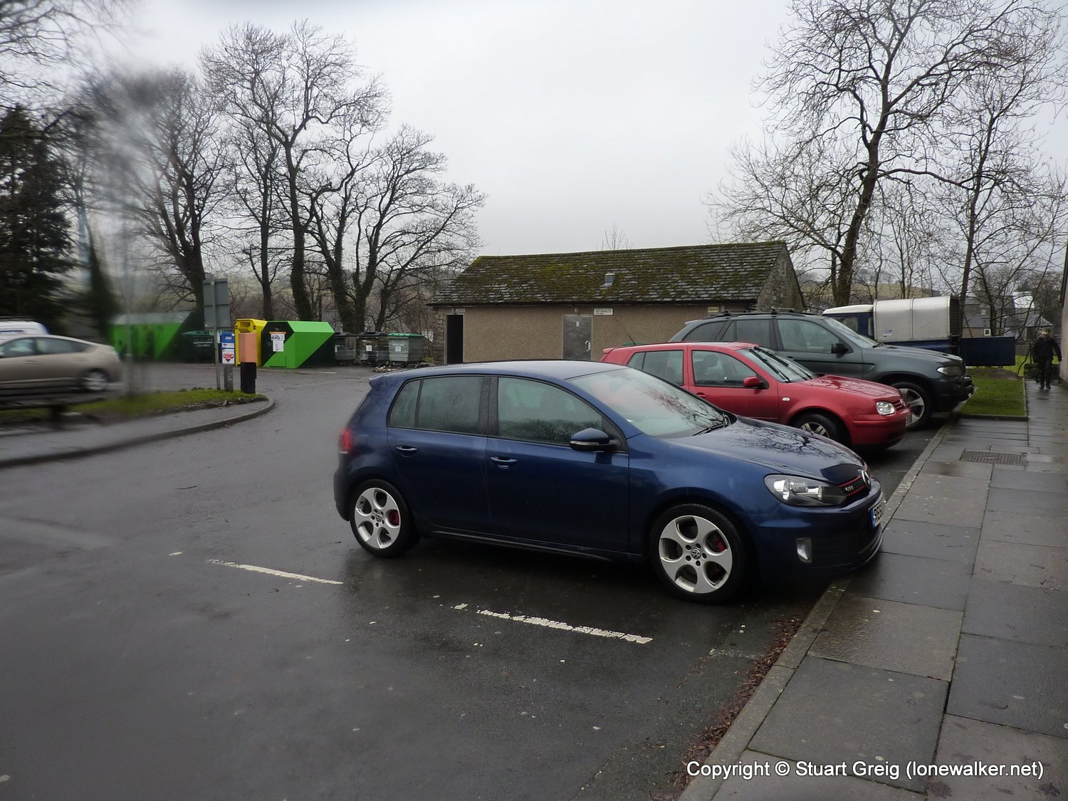
Parked in Ingleton, bus to Settle before walk
Date: 2011-02-05
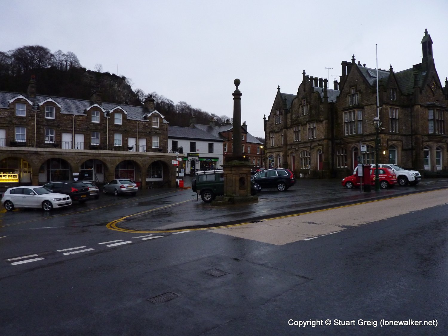
Start: Settle Finish: Ingleton
Distance: 12.0 mls, 19.31 km
Height Gain: 1400 ft, 426.7 m
Start Time: 08:12 End Time: 12:19
Duration: 04:07
Ave Speed: 2.9 mph
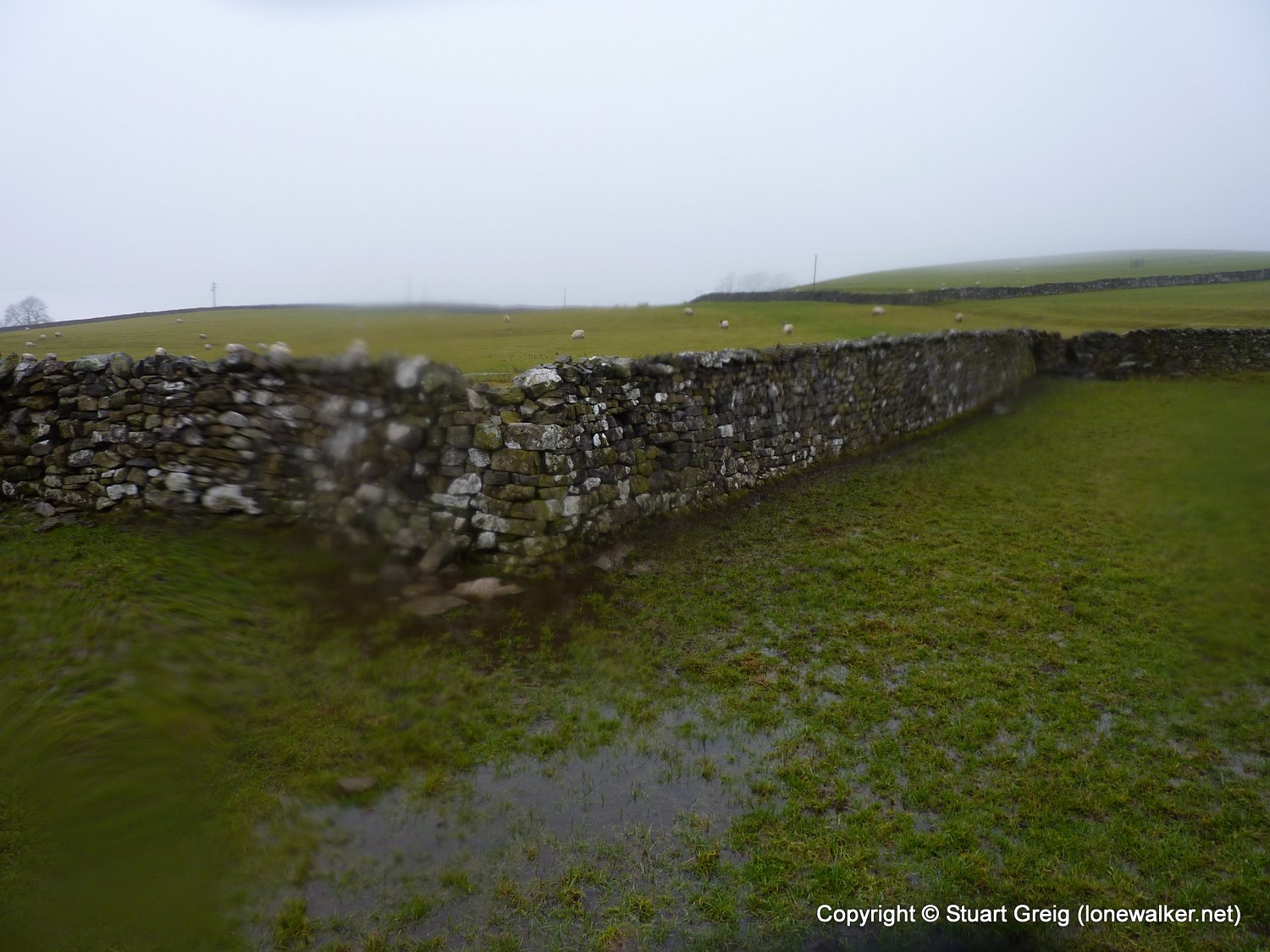
Region: Yorkshire Dales
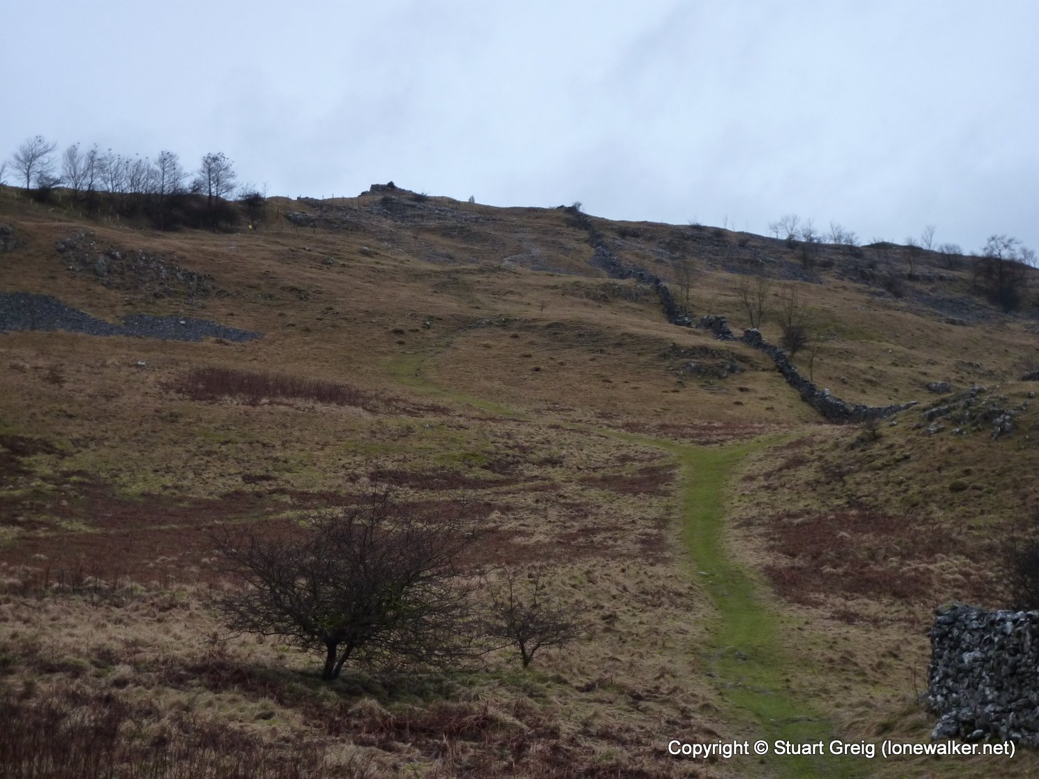
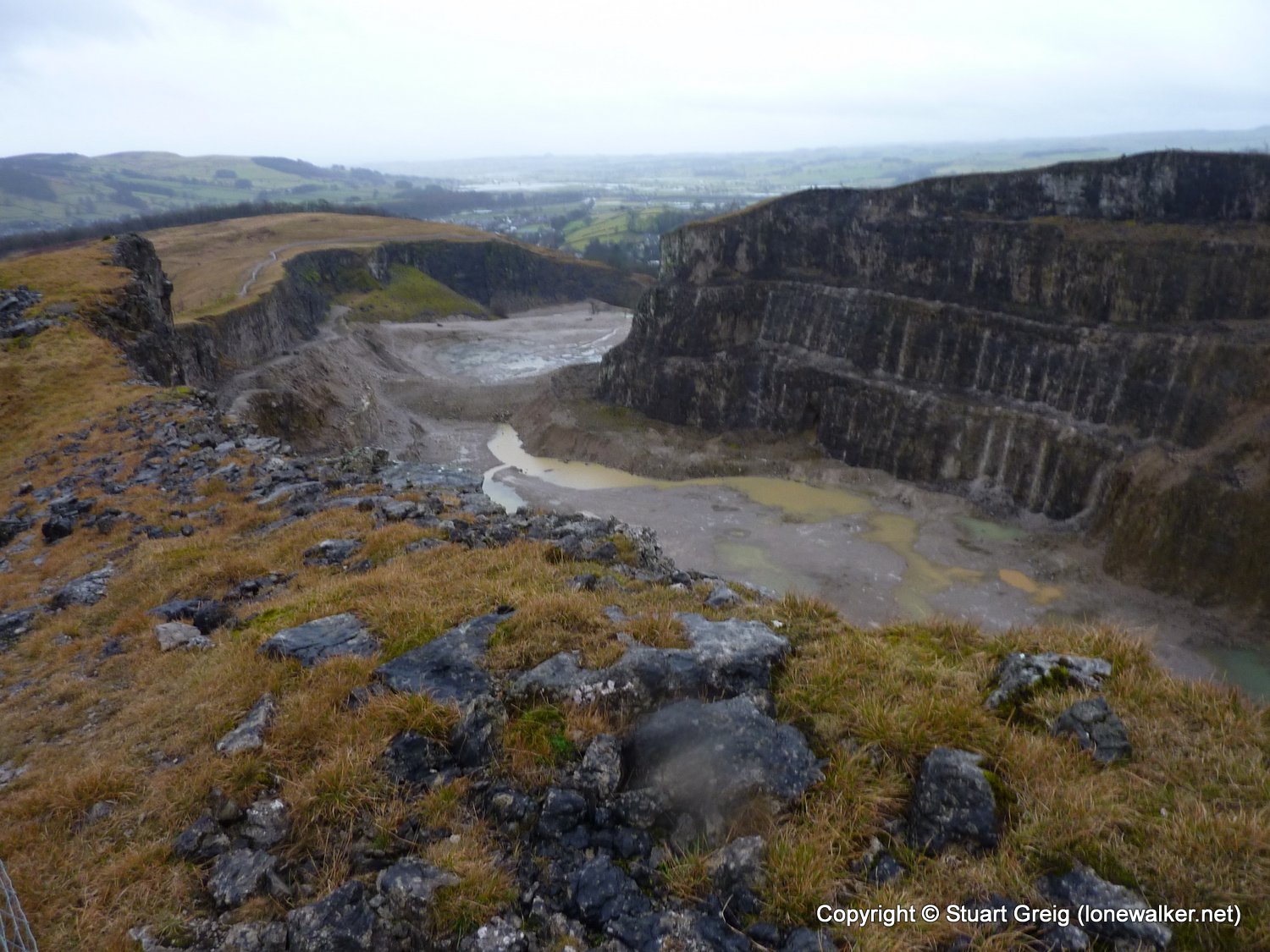
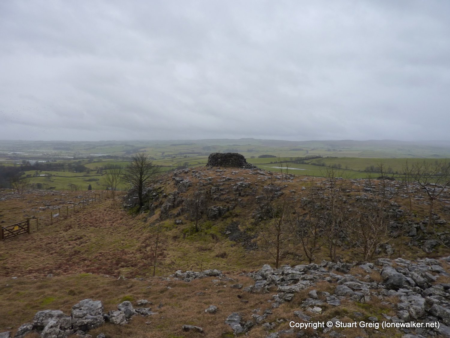
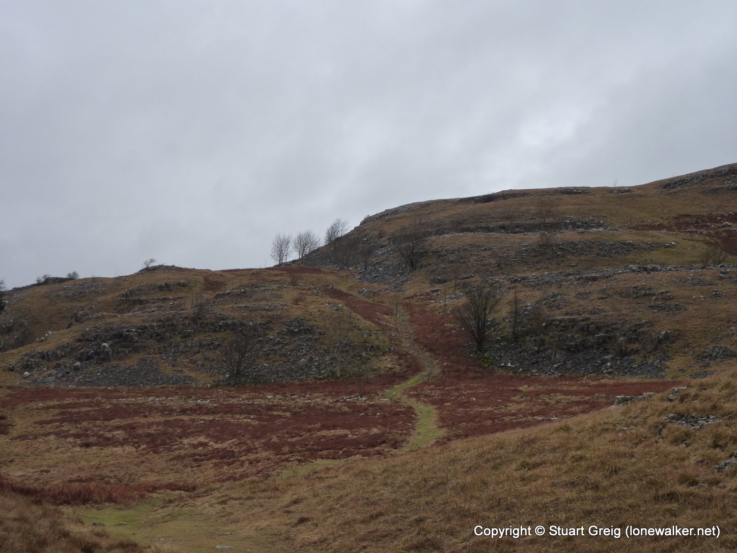
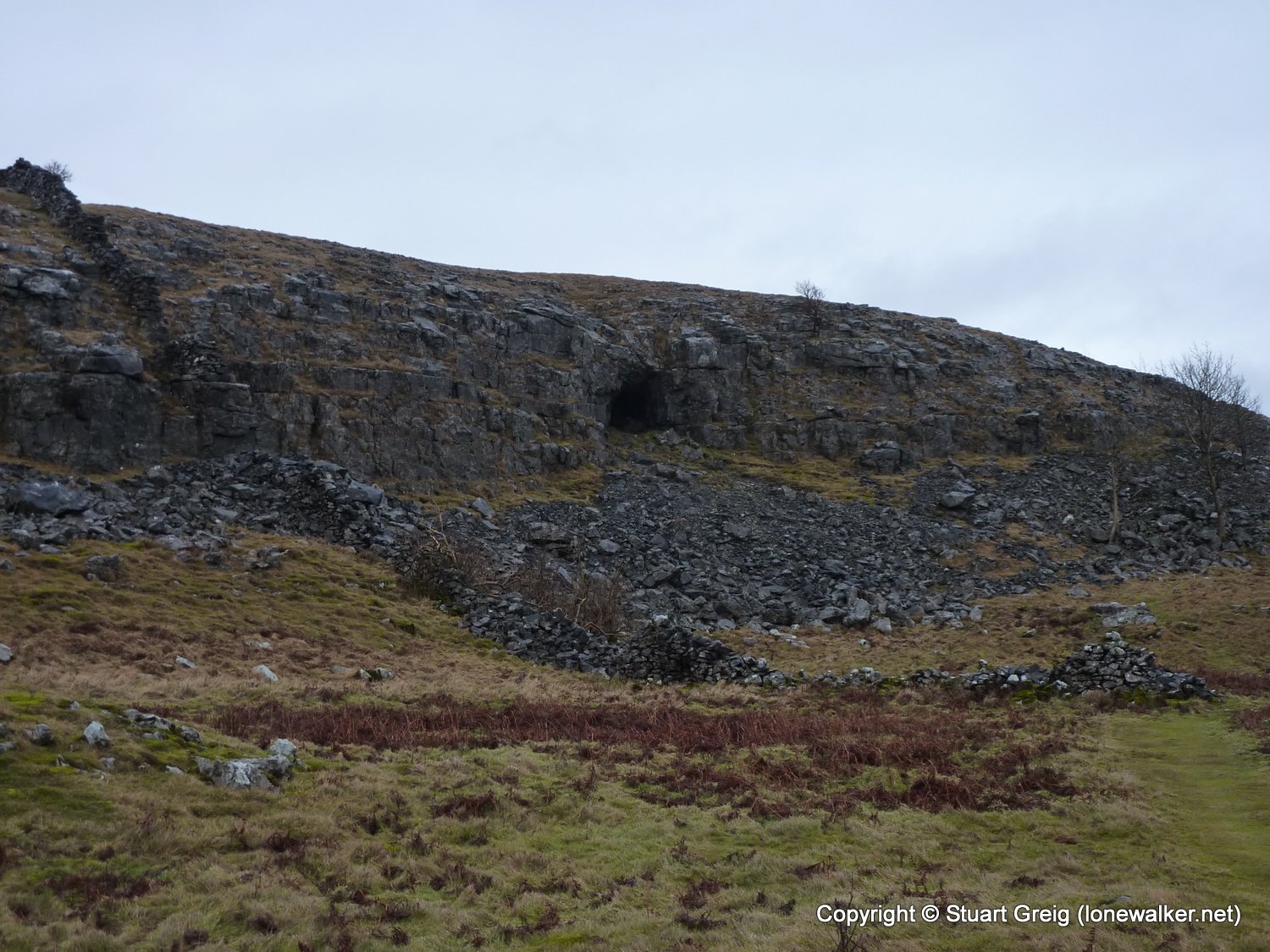
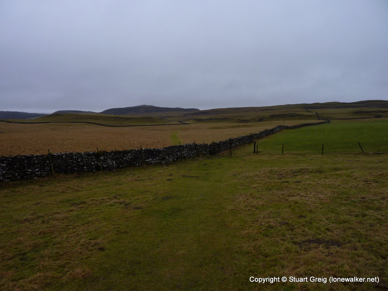
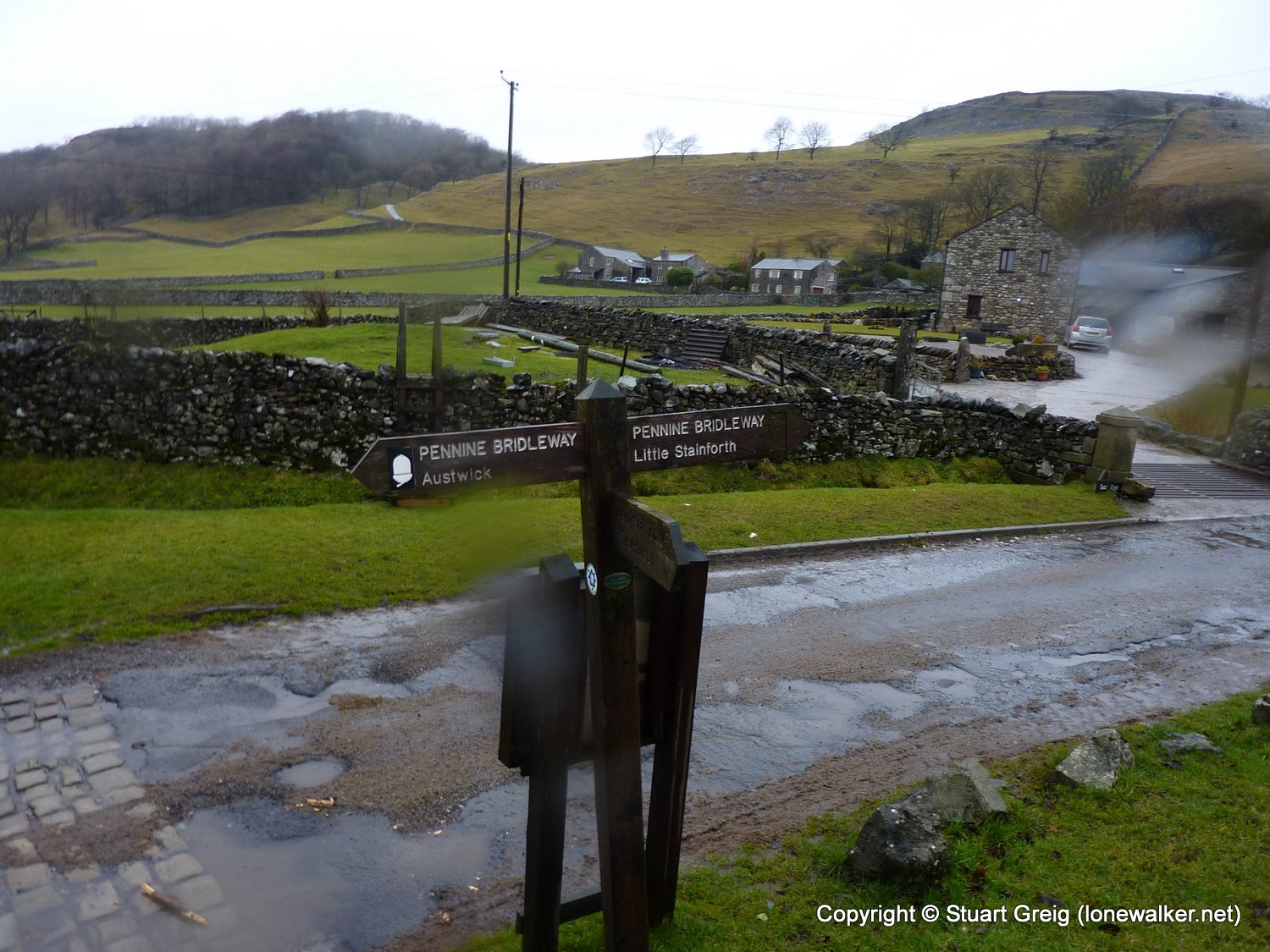
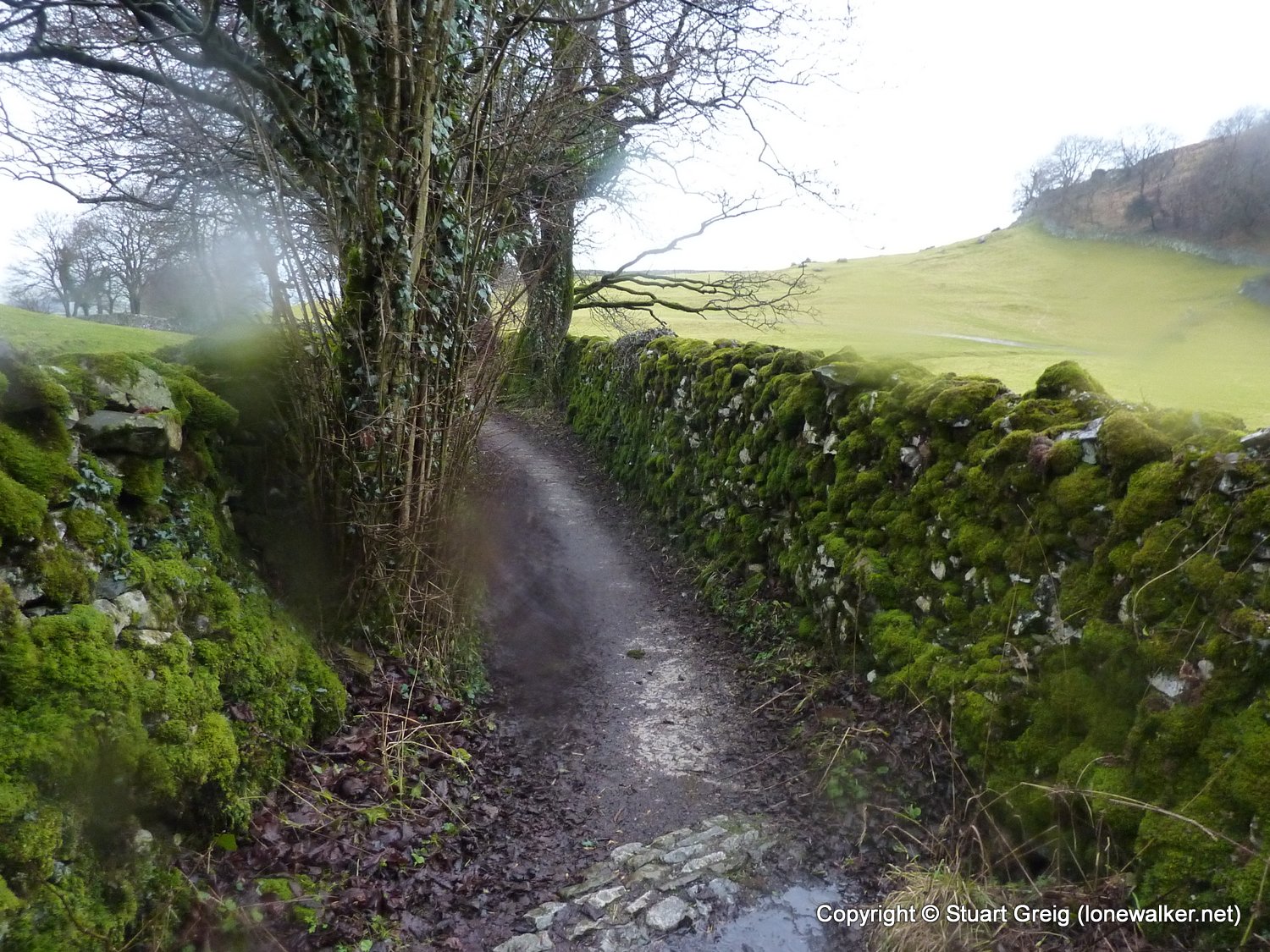
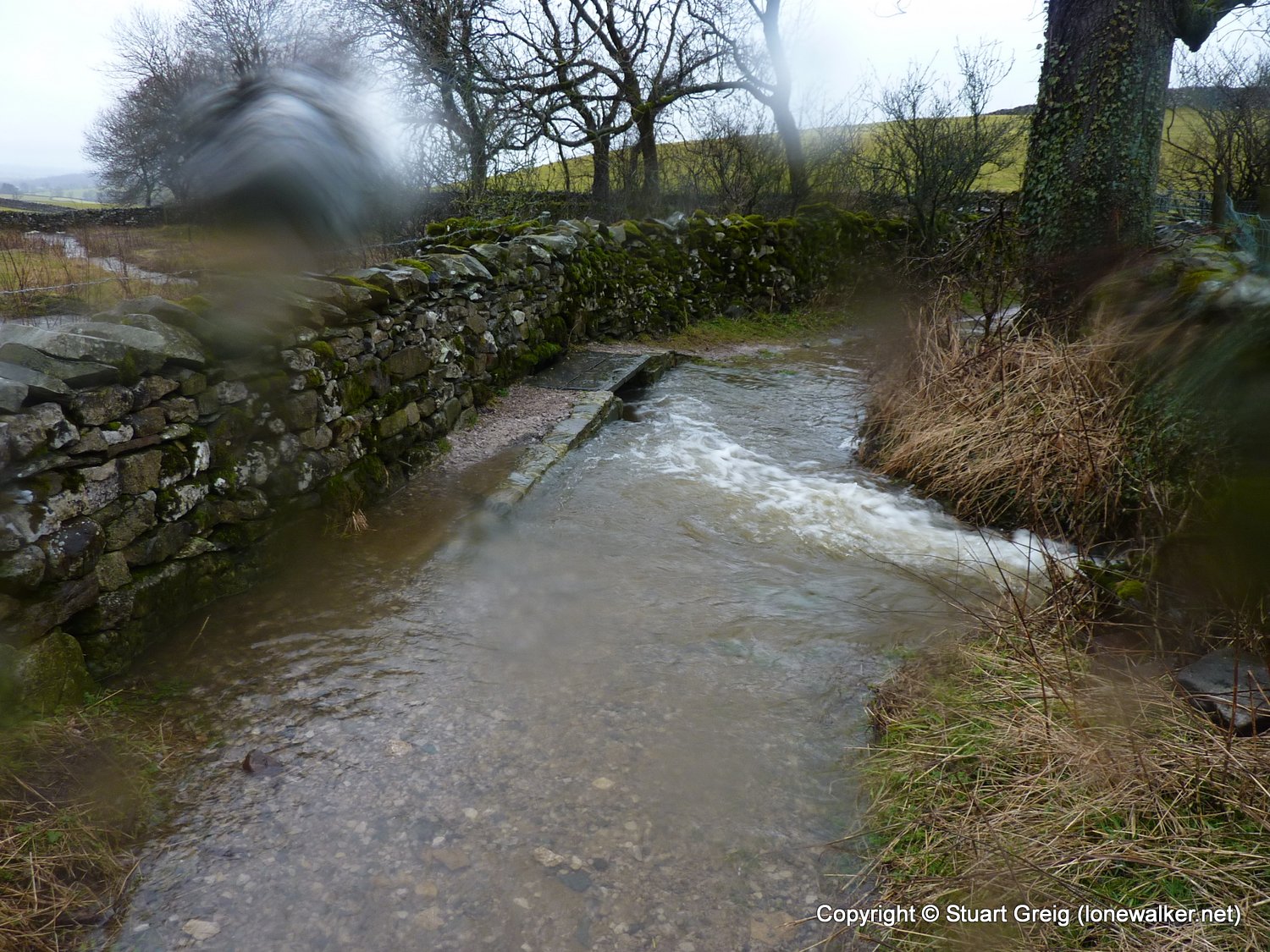
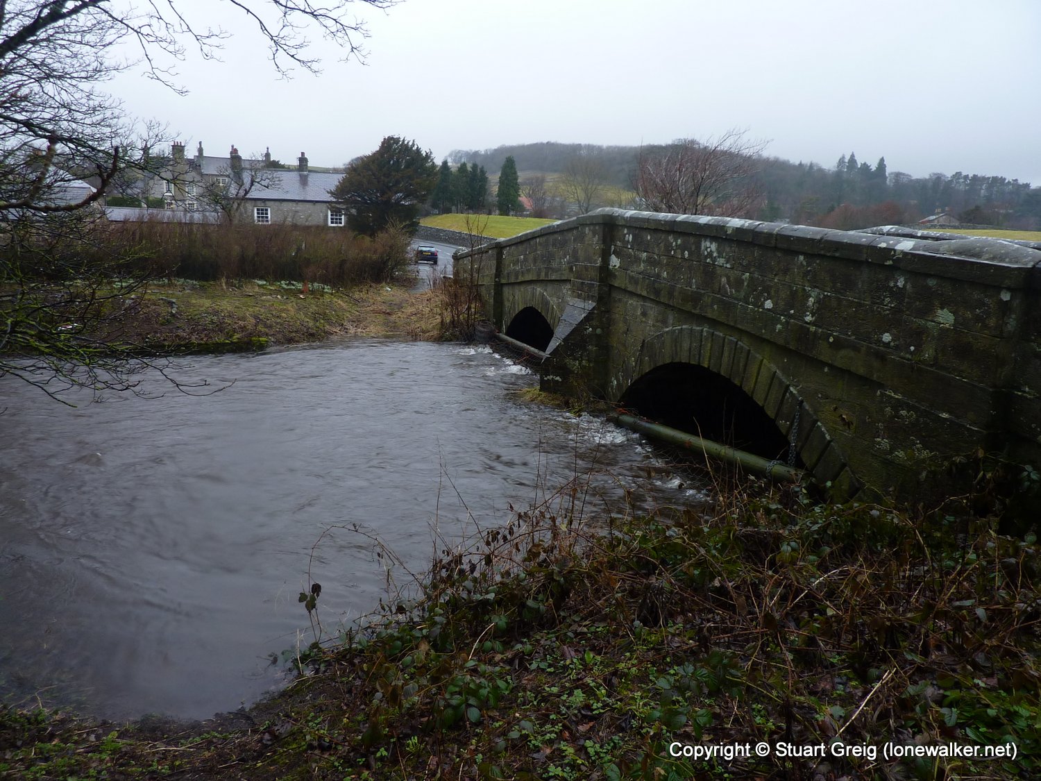
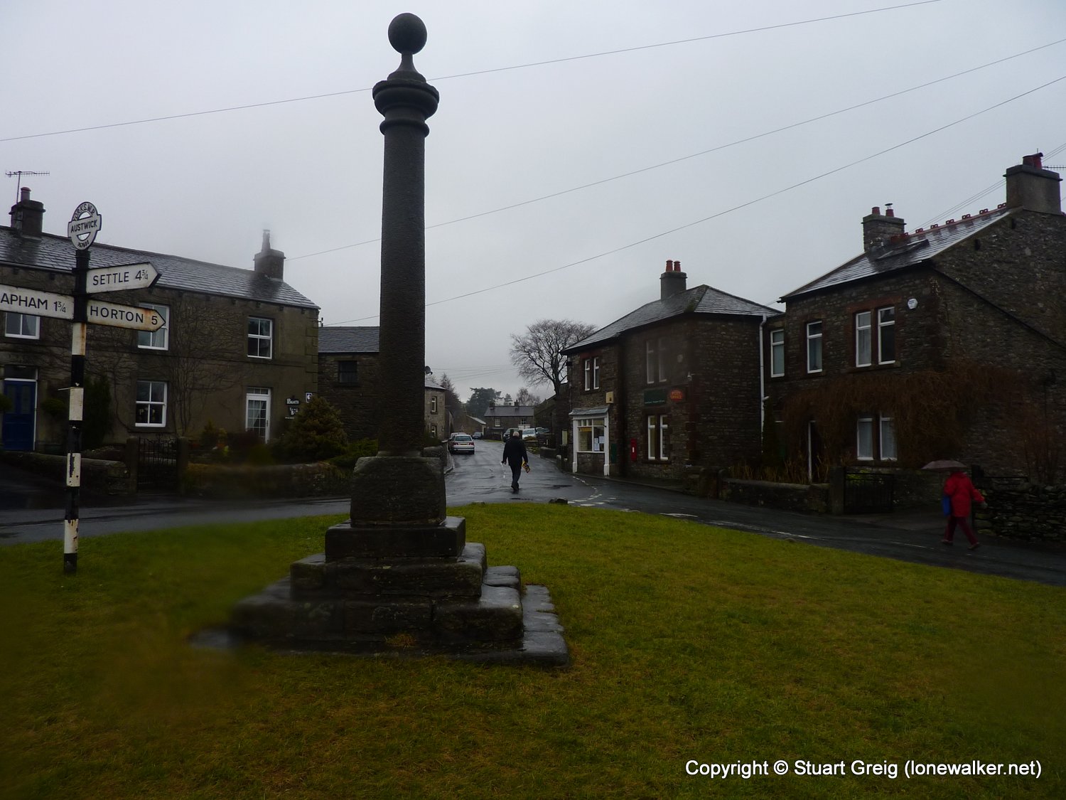
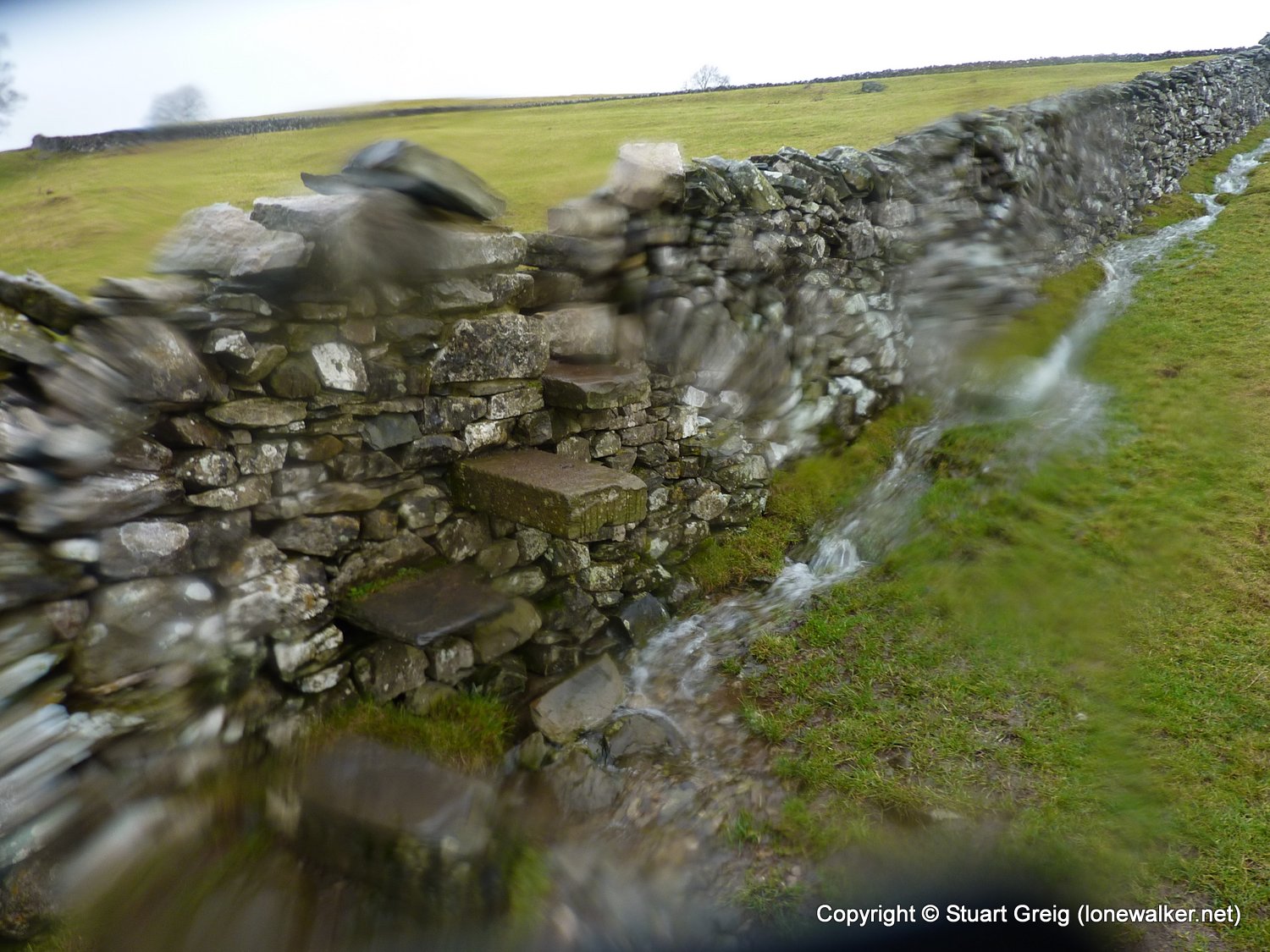
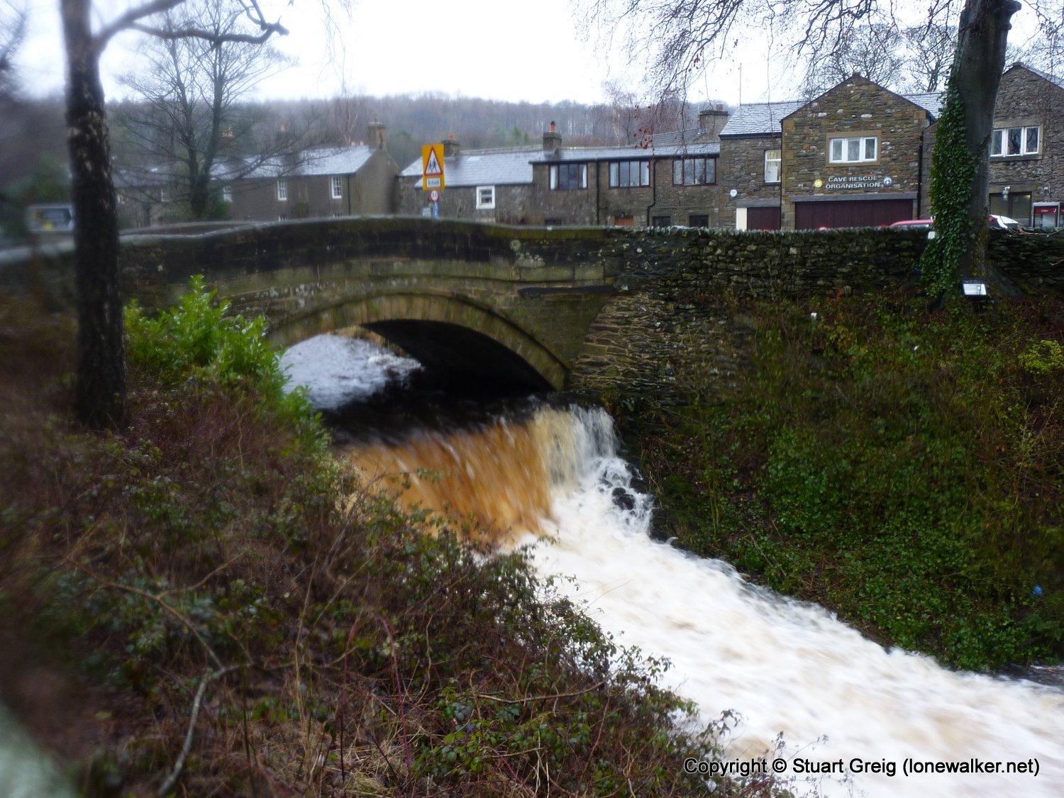
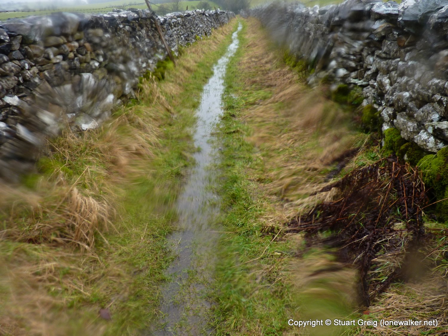
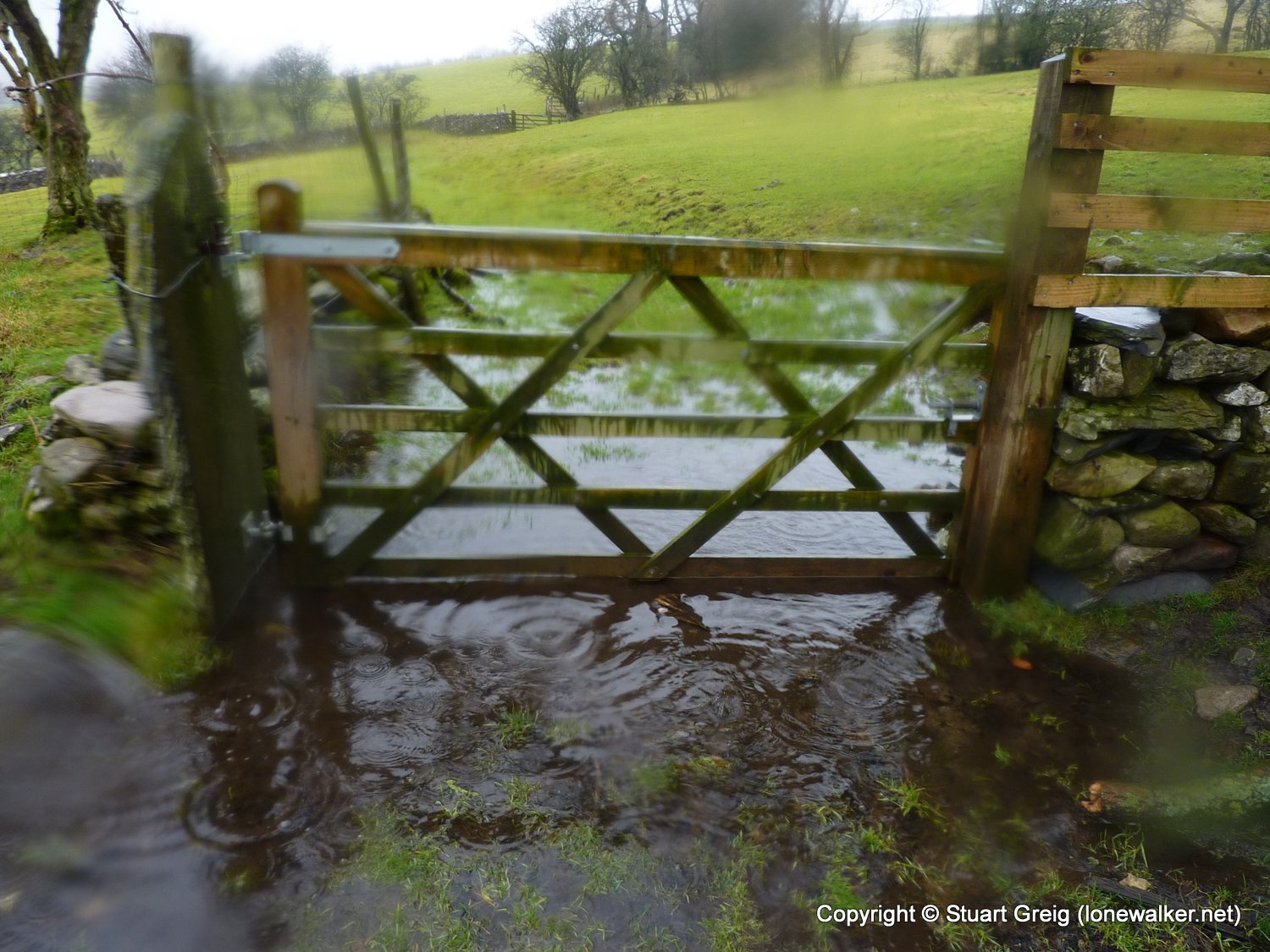
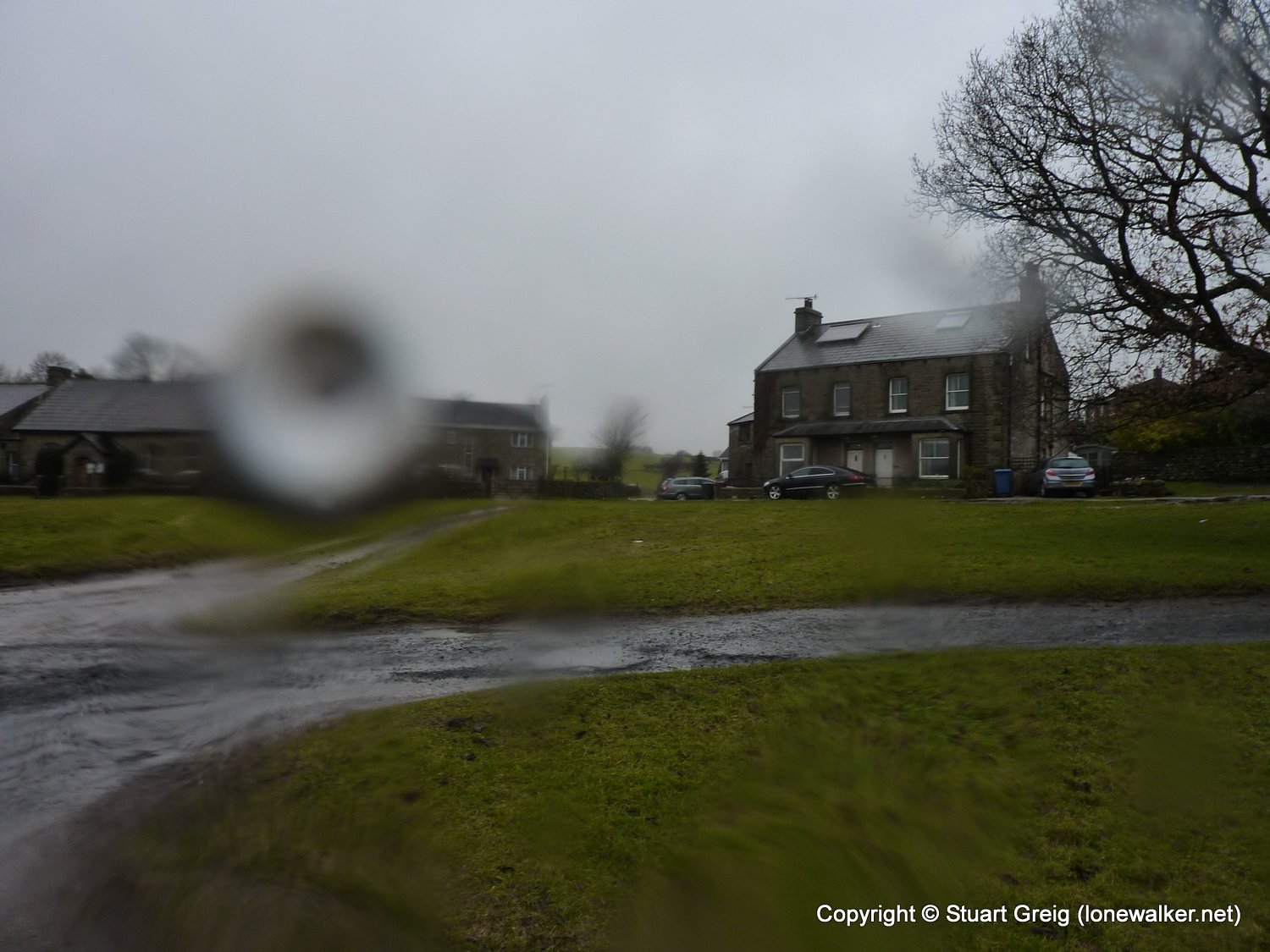
Route Description: Settle, Giggleswick Scar, Feizor Thwaite, Feizor, Austwick, Clapham, Newby, Cold Cotes, Duck Dub, Kenkins Bridge, Ingleton
Parking Grid Ref: SD 69424 73048
View Parking space in: OS Map or Google Street View
Walking with: Alone
Long Distance Path:
Click any image to open the full screen photo gallery
Walk Name: Muker to Ivelet Bridge
Date: 2011-01-22
Distance: 11.0 mls, 17.70 km
Height Gain: 1800 ft, 548.6 m
Walk Name: Ingleton Waterfalls
Date: 2011-02-19
Distance: 8.0 mls, 12.87 km
Height Gain: 1200 ft, 365.8 m