
Date: 2011-08-24
Start: Redshaw Bridge Finish: Redshaw Bridge
Distance: 4.7 mls, 7.56 km
Height Gain: 800 ft, 243.8 m
Start Time: 07:51 End Time: 09:31
Duration: 01:40
Ave Speed: 2.8 mph
Region: Yorkshire Dales
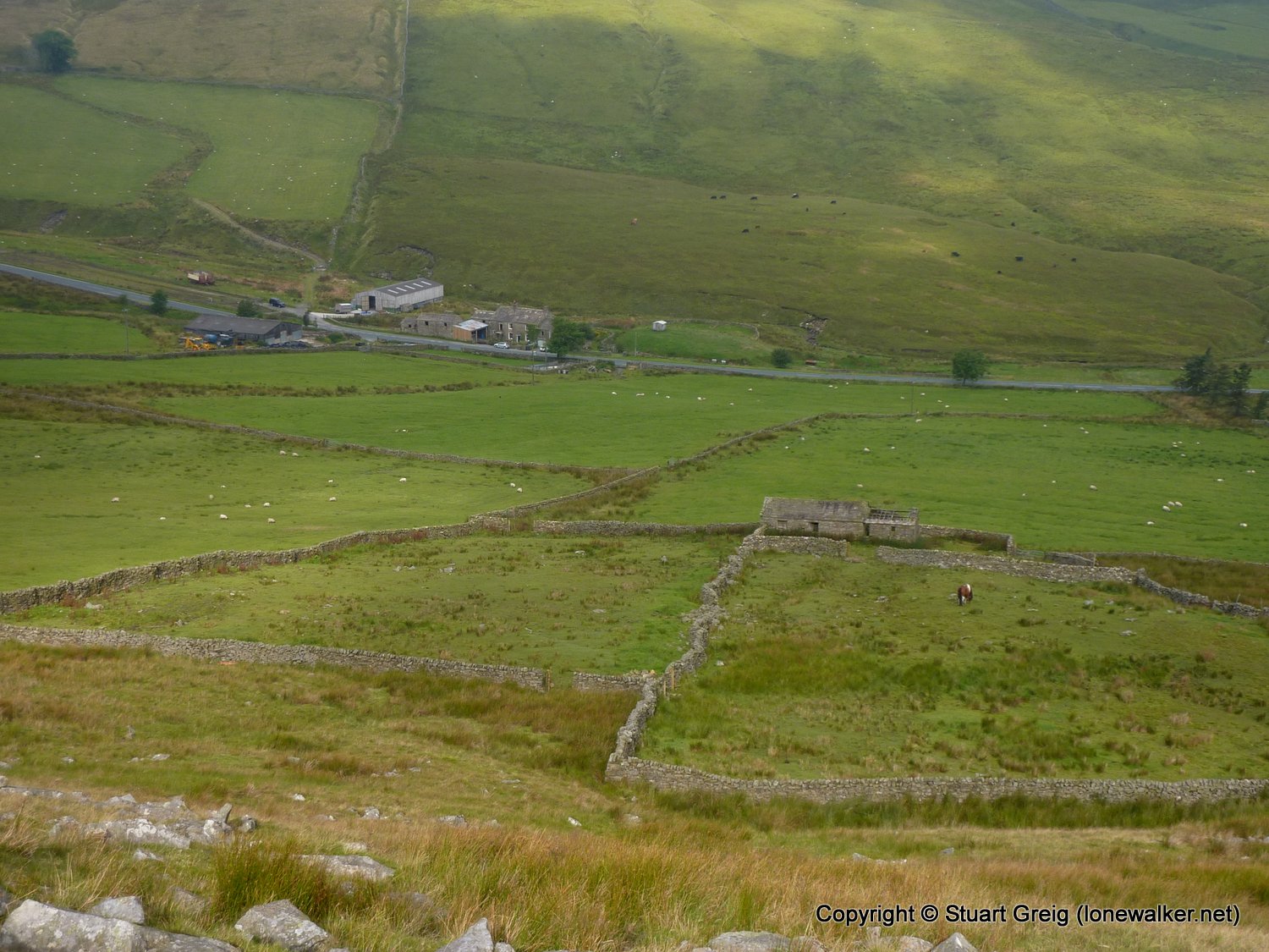
Route Description: Redshaw, B6255 south, Newby Head, Pennine Bridleway, Snaizeholme, Redshaw
Parking Grid Ref: SD 80494 85121
View Parking space in: OS Map or Google Street View
Walking with: Alone
Long Distance Path:
3620 - Redshaw Moss [Snaizeholme Fell] (1788 ft)
Click any image to open the full screen photo gallery



Walk Name: Stanway to Cleeve Hill
Date: 2011-08-20
Distance: 13.0 mls, 20.92 km
Height Gain: 1800 ft, 548.6 m
Walk Name: Ingleborough from Ingleton
Date: 2011-09-03
Distance: 11.0 mls, 17.70 km
Height Gain: 2200 ft, 670.6 m