
Date: 2011-10-08
Start: Cutthroat Bridge Finish: Cutthroat Bridge
Distance: 12.3 mls, 19.79 km
Height Gain: 2000 ft, 609.6 m
Start Time: 07:41 End Time: 11:57
Duration: 04:16
Ave Speed: 2.9 mph
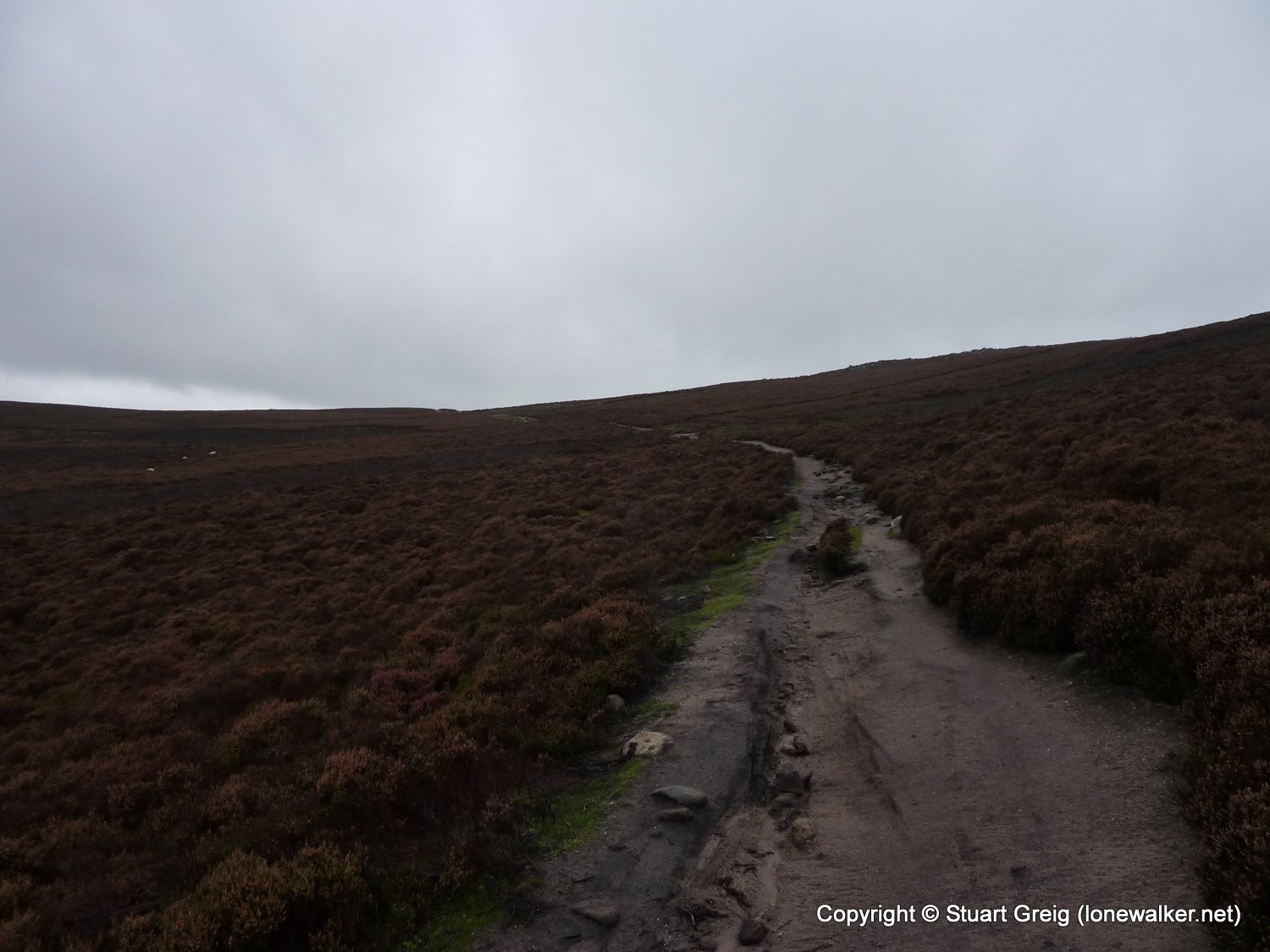
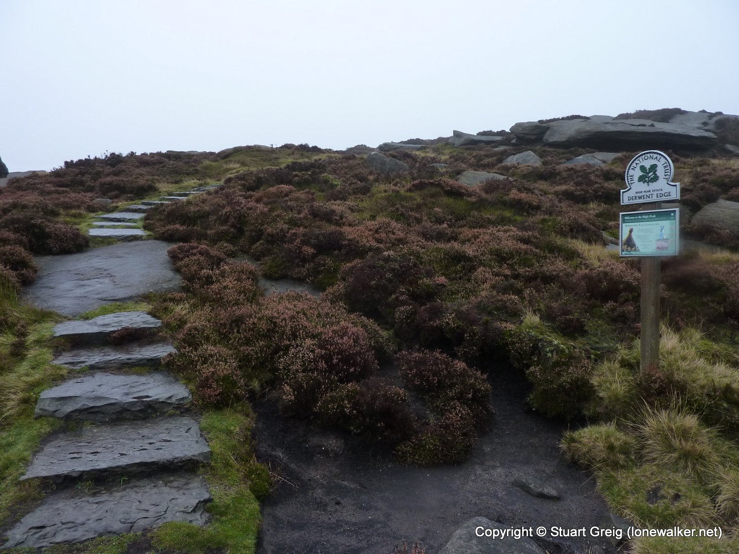
Region: Peak District
Route Description: Cutthroat Bridge, Whinstone Lee Tor, Salt Cellar, Back Tor, Abbey Tip Plantation, Derwent Res, Ladybower Res, Ashopton, Cutthroat Bridge
Parking Grid Ref: SK 21615 87425
View Parking space in: OS Map or Google Street View
Walking with: Alone
Long Distance Path:
TP0949 - Back Tor (Good condition)
Click any image to open the full screen photo gallery


Walk Name: Ingleborough
Date: 2011-10-01
Distance: 12.2 mls, 19.63 km
Height Gain: 2700 ft, 823.0 m
Walk Name: Cleeve Hill to Leckhampton Hill
Date: 2011-10-22
Distance: 13.0 mls, 20.92 km
Height Gain: 1900 ft, 579.1 m