
Date: 2006-04-08
Start: Bwlch Penbarra Finish: Bwlch Penbarra
Distance: 15.5 mls, 24.94 km
Height Gain: 3900 ft, 1188.7 m
Start Time: 07:47 End Time: 13:48
Duration: 06:01
Ave Speed: 2.6 mph
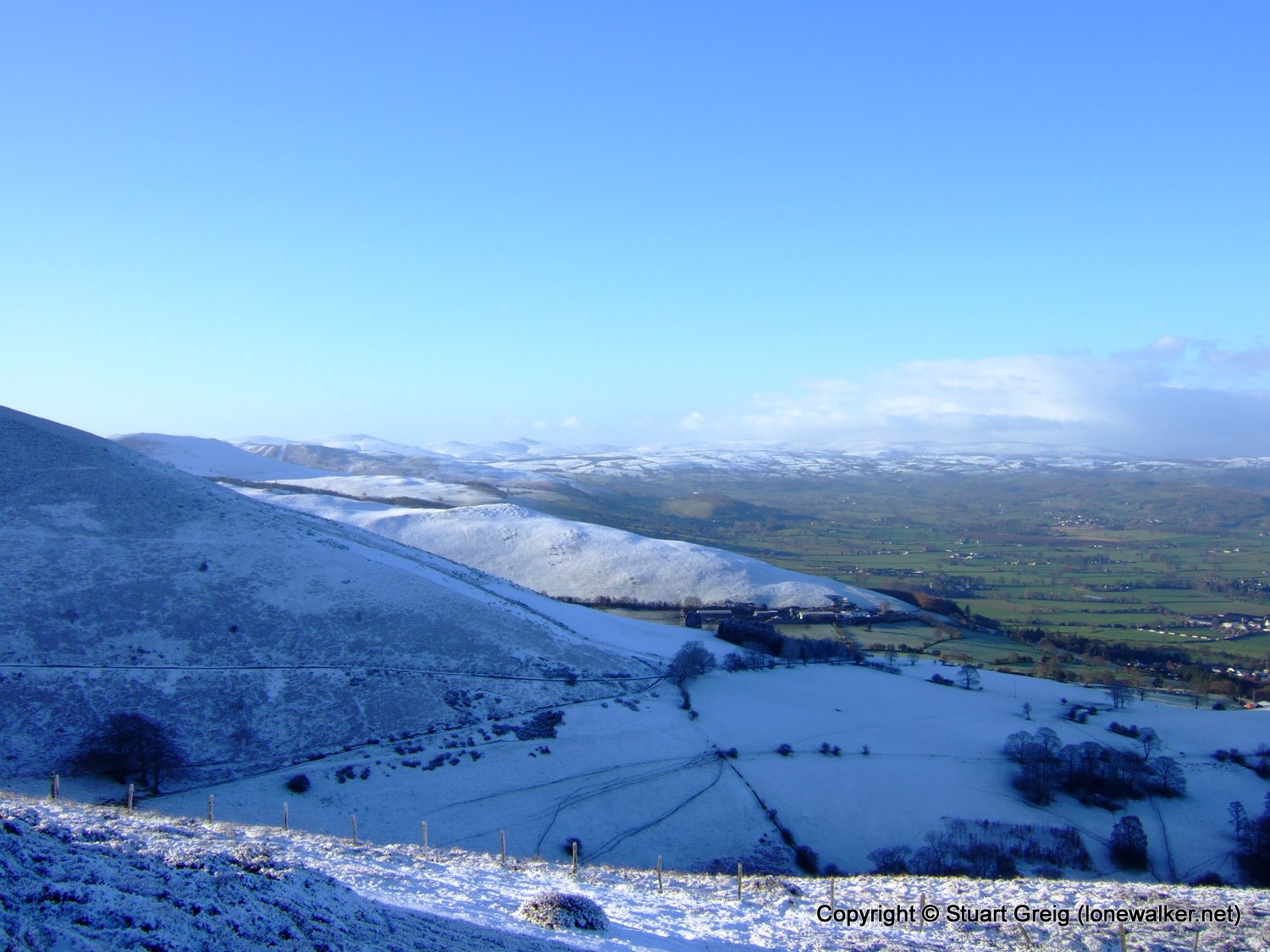
Region: Clwydians
Route Description: Bwlch Penbarra, Moel Famau, Ffrith Mountain, Llanferres, Moel Gyw, Foel Fenlli, Bwlch Penbarra
Parking Grid Ref: SJ 16475 60752
View Parking space in: OS Map or Google Street View
Walking with: Alone
Long Distance Path:
TP0005 - Moel Fammau (Slightly damaged condition)
TP4857 - Moel Gyw (Good condition)
Click any image to open the full screen photo gallery


Walk Name: Sponds Hill
Date: 2006-04-02
Distance: 5.5 mls, 8.85 km
Height Gain: 1000 ft, 304.8 m
Walk Name: Mow Cop & The Cloud
Date: 2006-04-14
Distance: 18.5 mls, 29.77 km
Height Gain: 2600 ft, 792.5 m