
Date: 2006-04-14
Start: Rudyard Res Finish: Rudyard Res
Distance: 18.5 mls, 29.77 km
Height Gain: 2600 ft, 792.5 m
Start Time: 07:31 End Time: 13:37
Duration: 06:06
Ave Speed: 3.0 mph
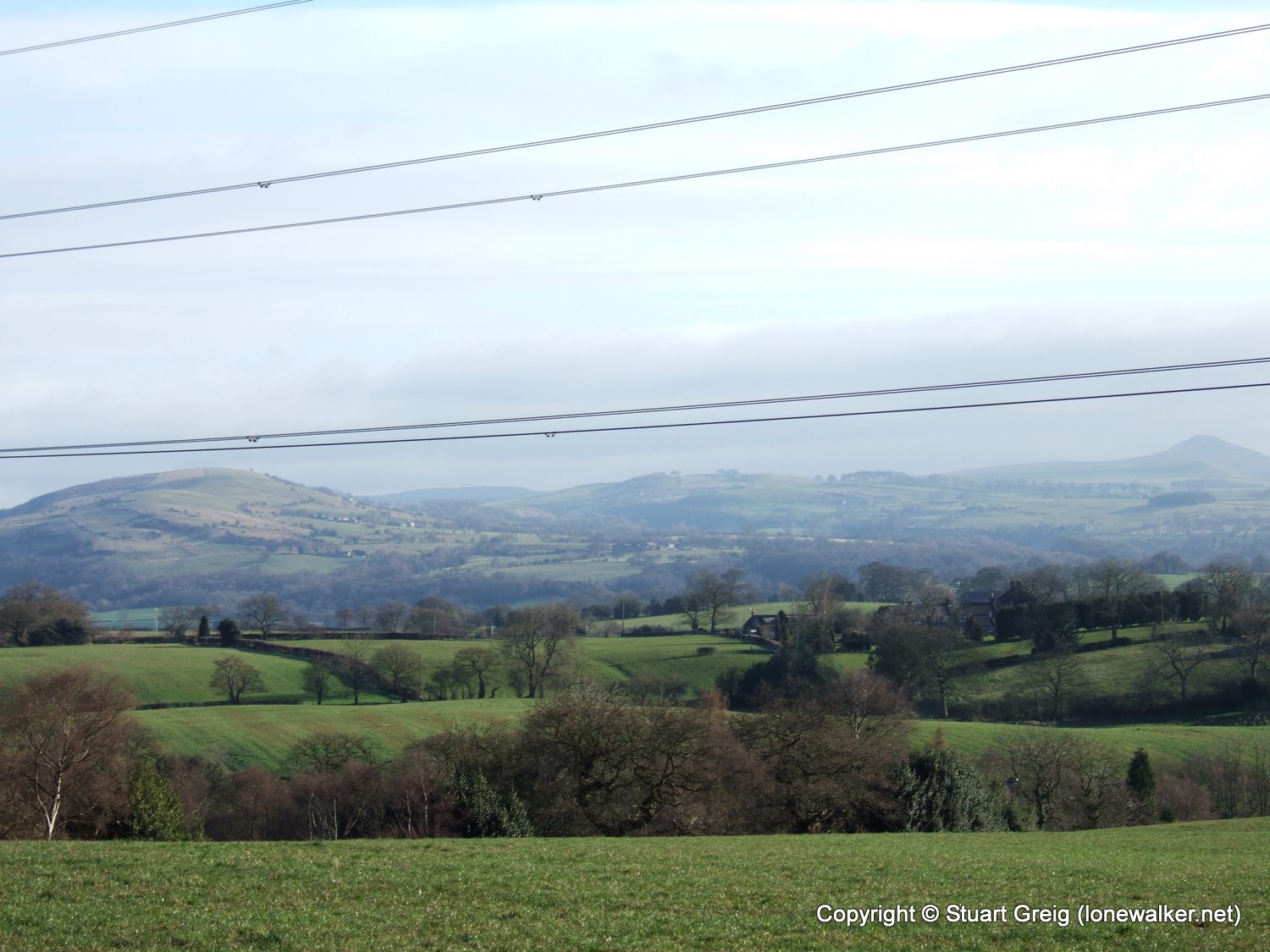
Region: Cheshire
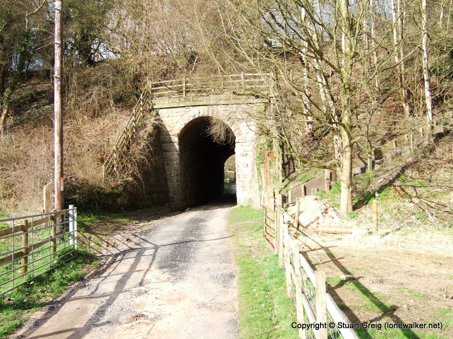
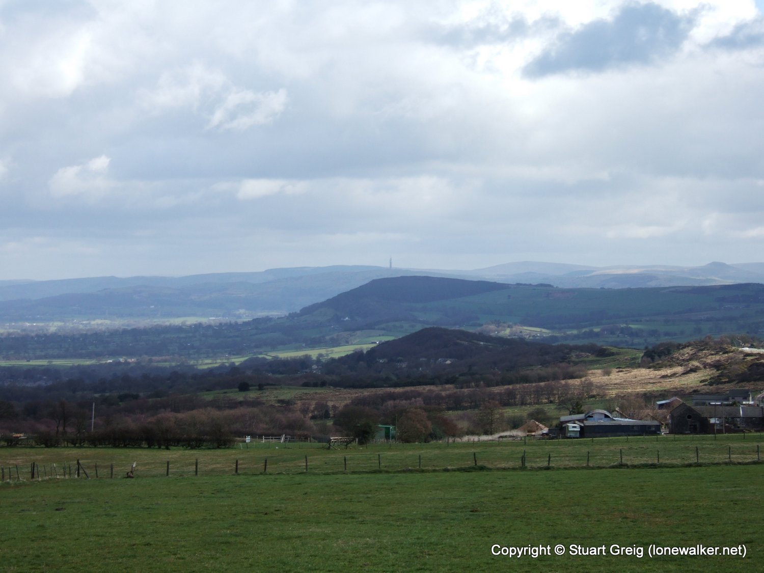
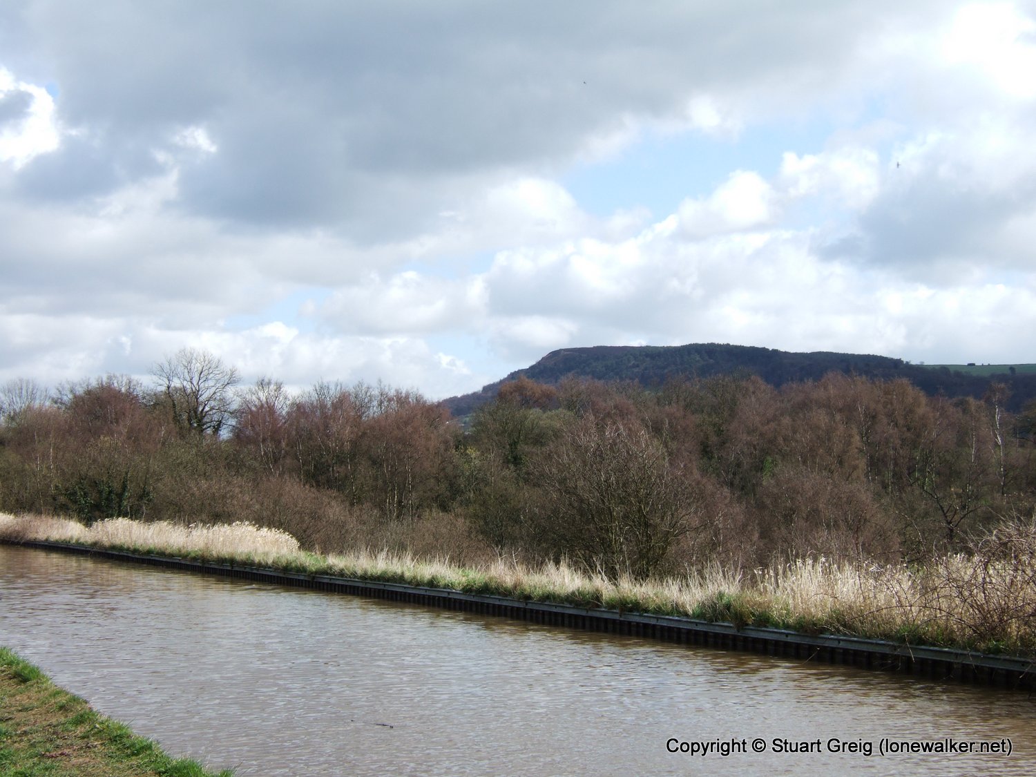
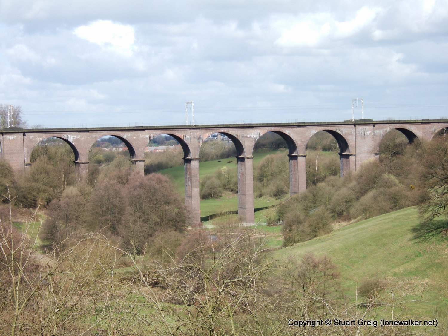
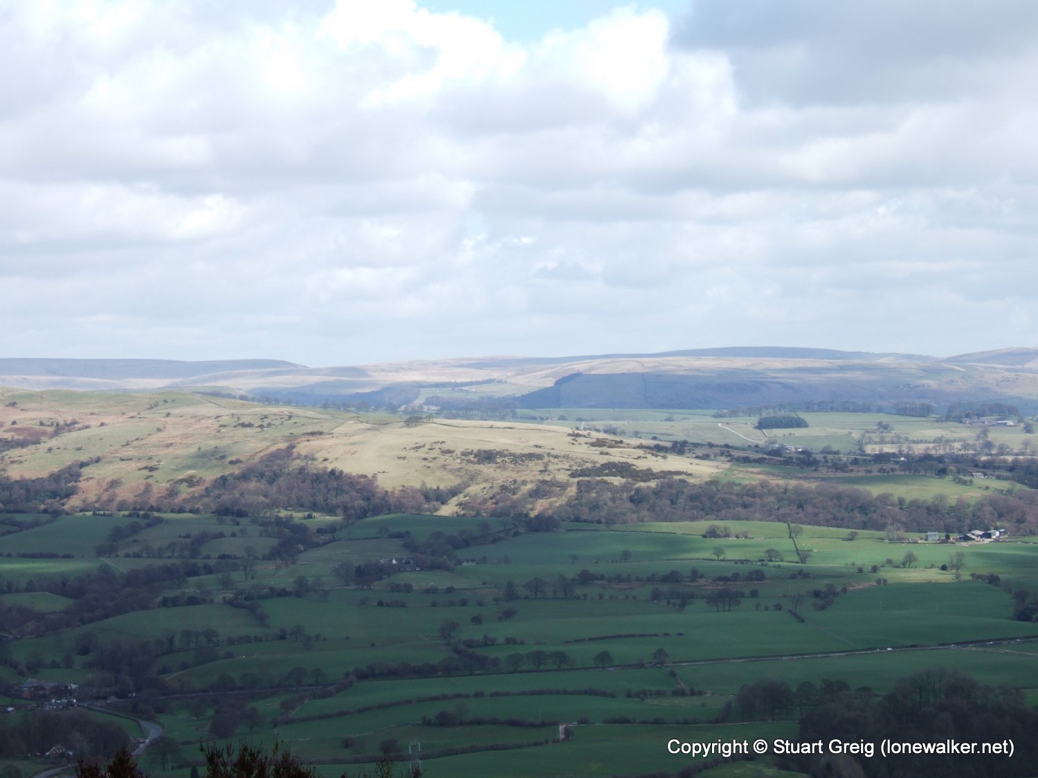
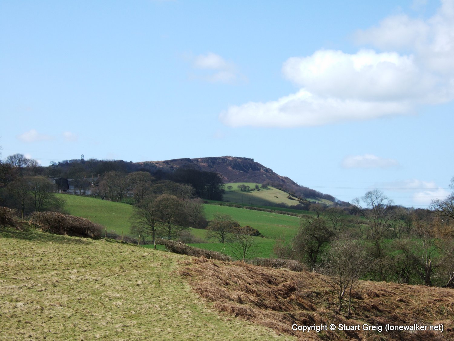
Route Description: Rudyard Res, Newtown, Congleton Edge, Mow Cop, Ackers Crossing, Macc Canal, Timbersbrook, The Cloud, Raven's Clough, Rushton Spencer, Rudyard Res
Parking Grid Ref: SJ 93892 61143
View Parking space in: OS Map or Google Street View
Walking with: Alone
Long Distance Path:
Click any image to open the full screen photo gallery


Walk Name: Foel Fenlli
Date: 2006-04-08
Distance: 15.5 mls, 24.94 km
Height Gain: 3900 ft, 1188.7 m
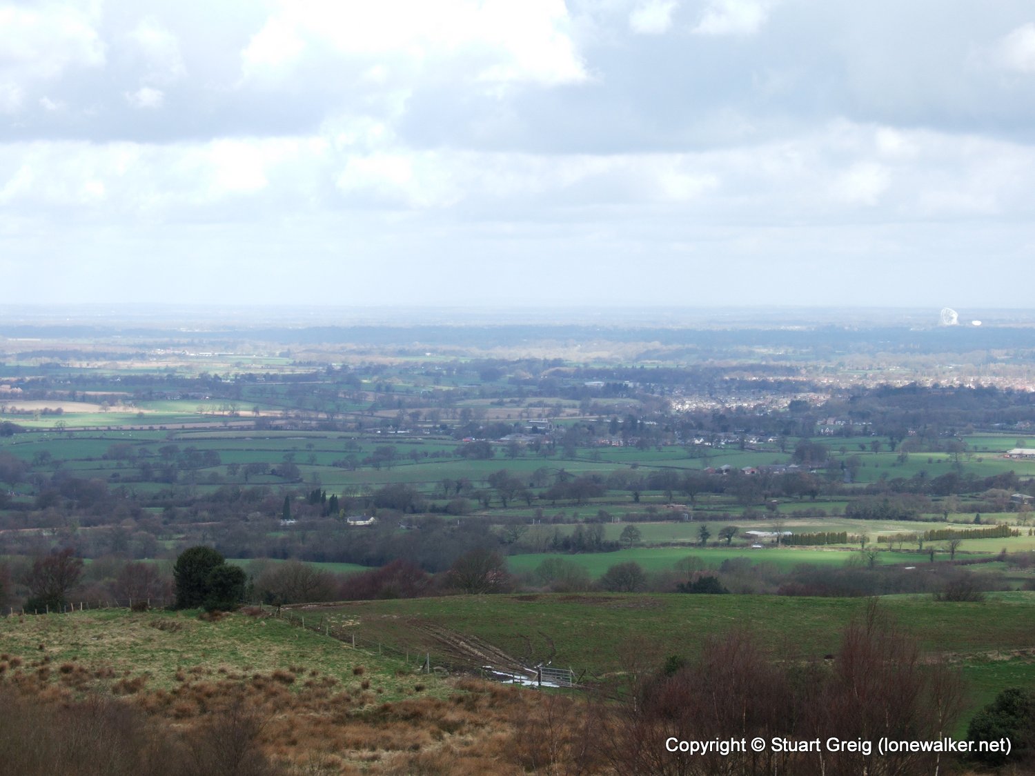
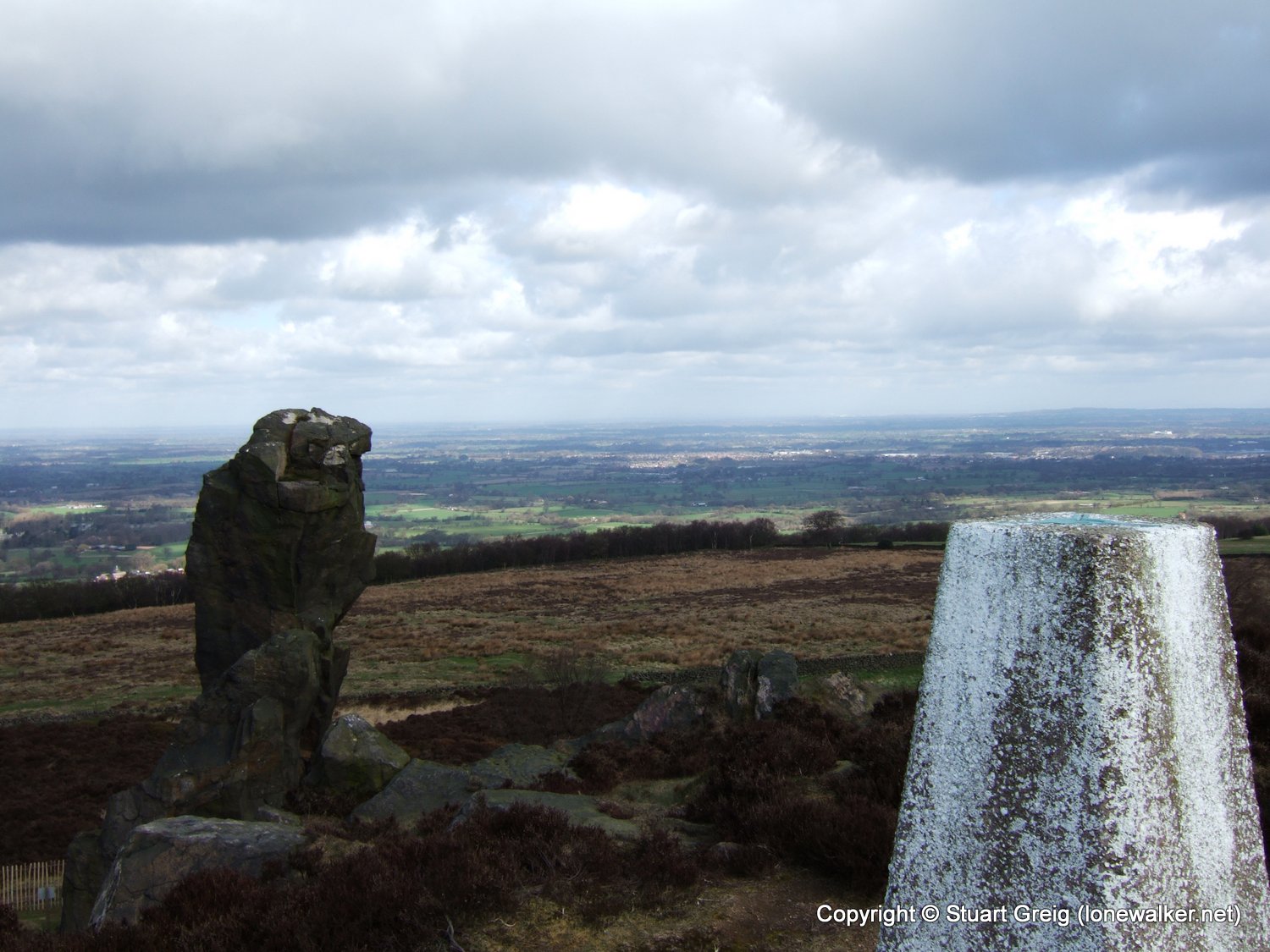
Walk Name: The Cloud & Croker Hill
Date: 2006-04-17
Distance: 17.5 mls, 28.16 km
Height Gain: 2500 ft, 762.0 m