
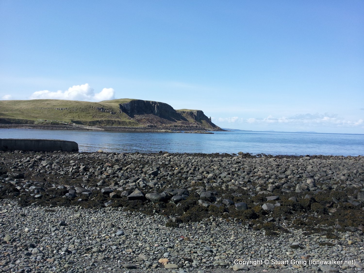
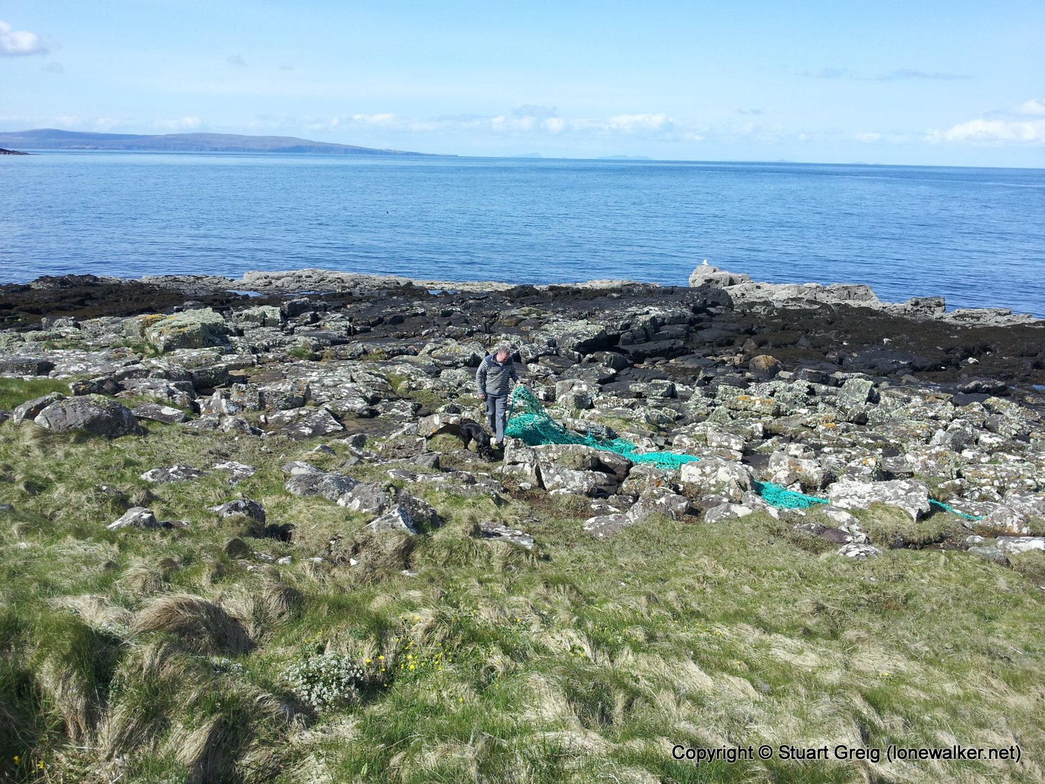
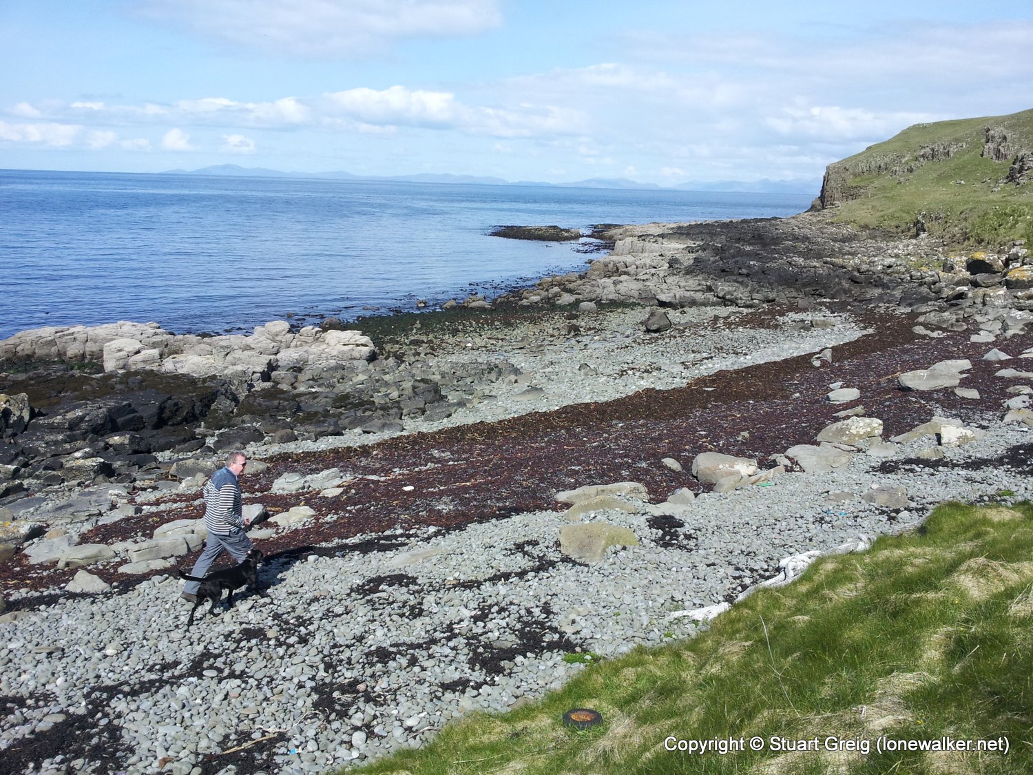
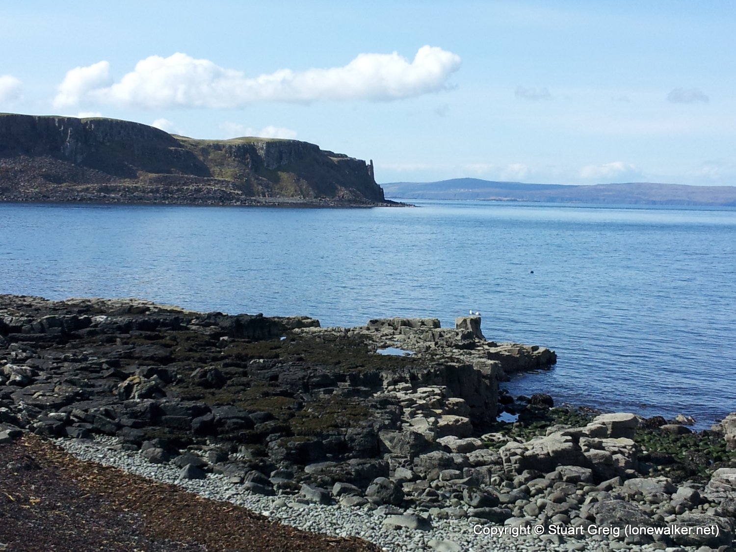
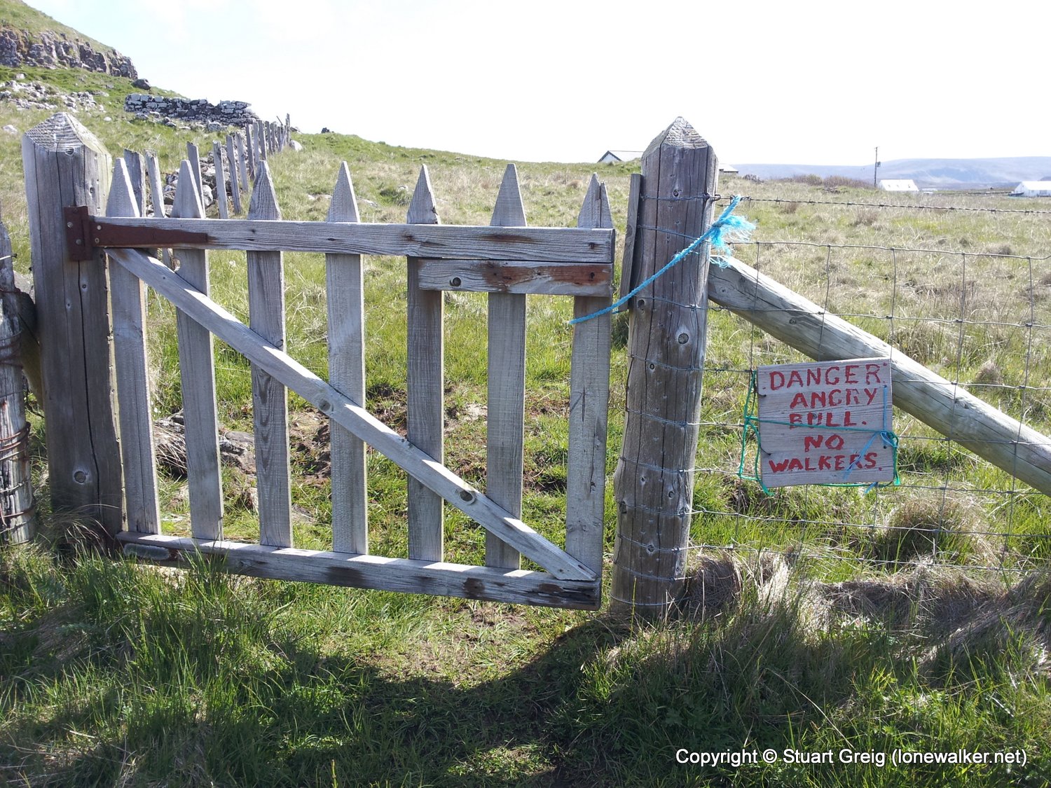
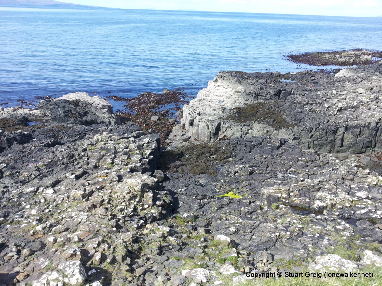
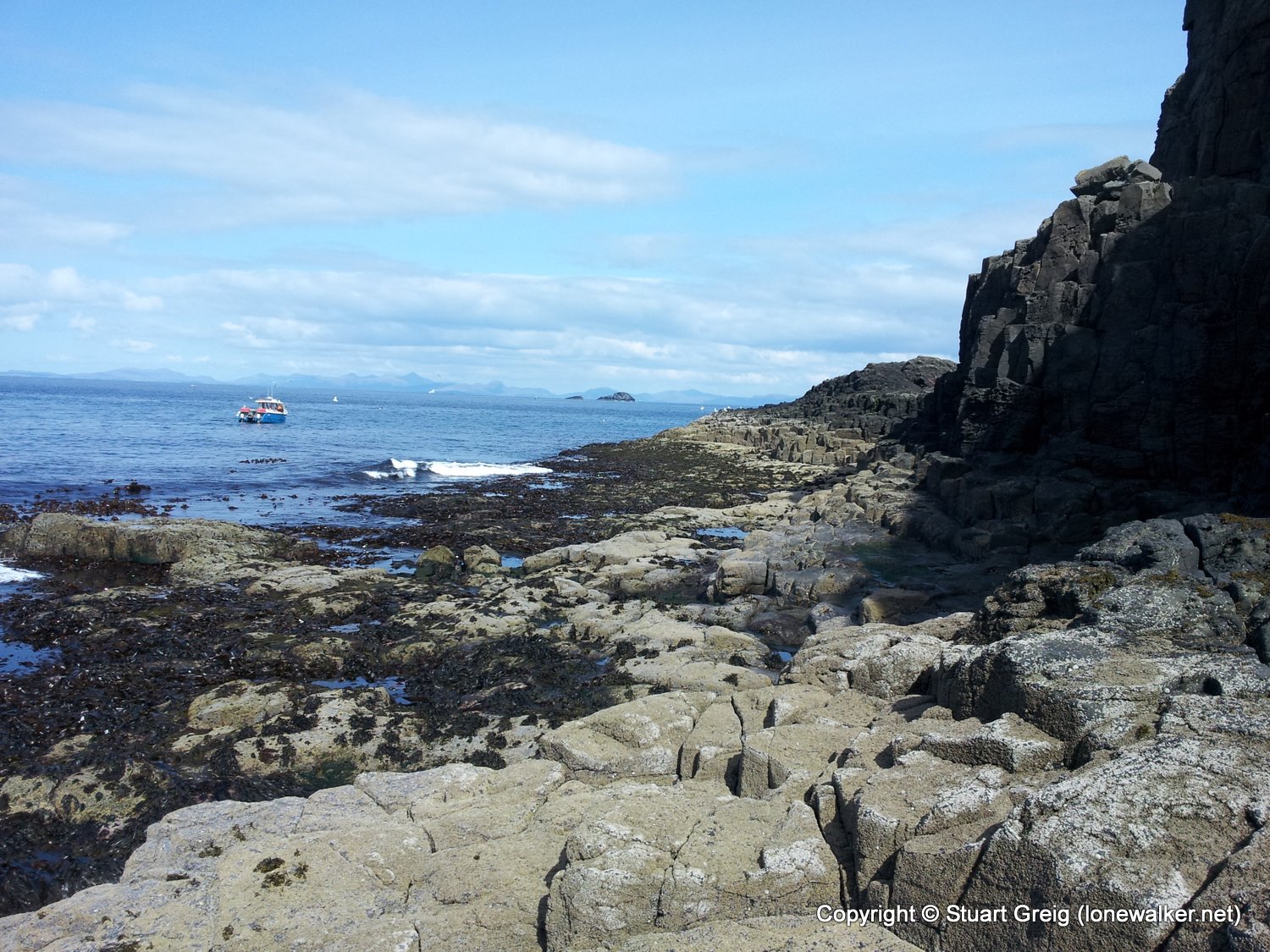
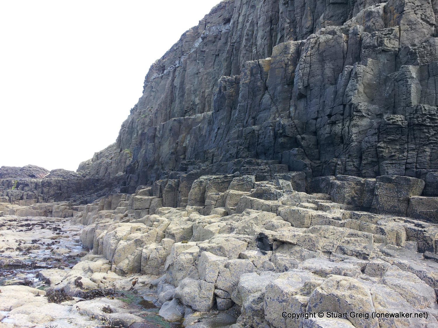
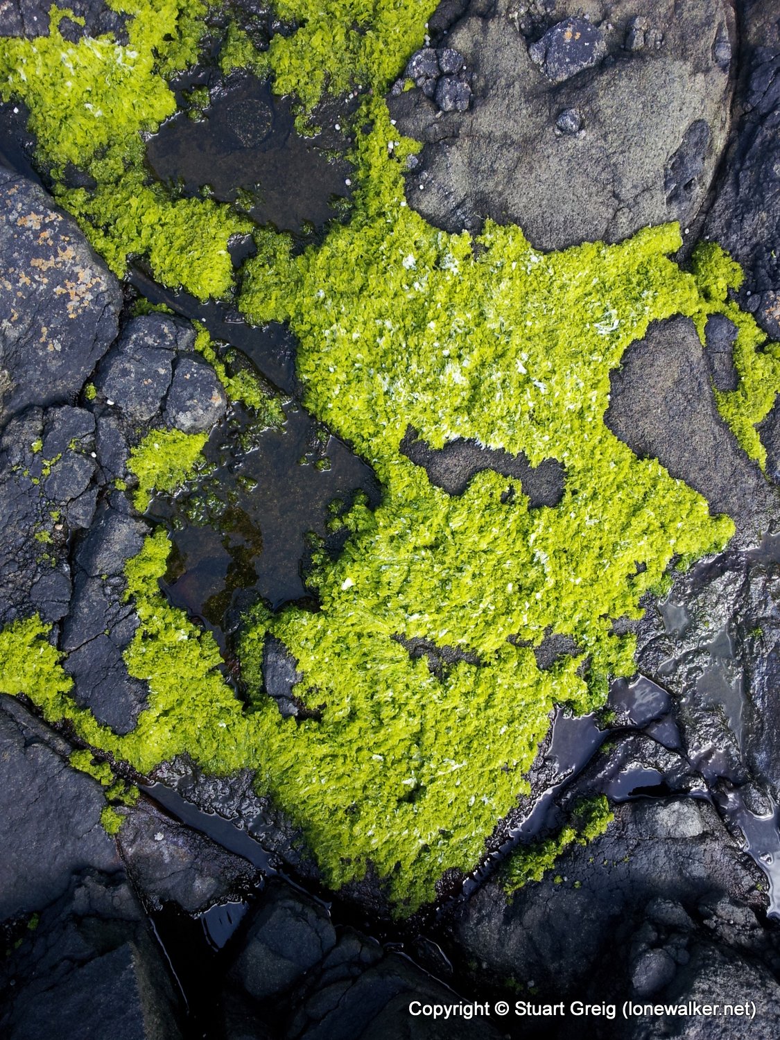
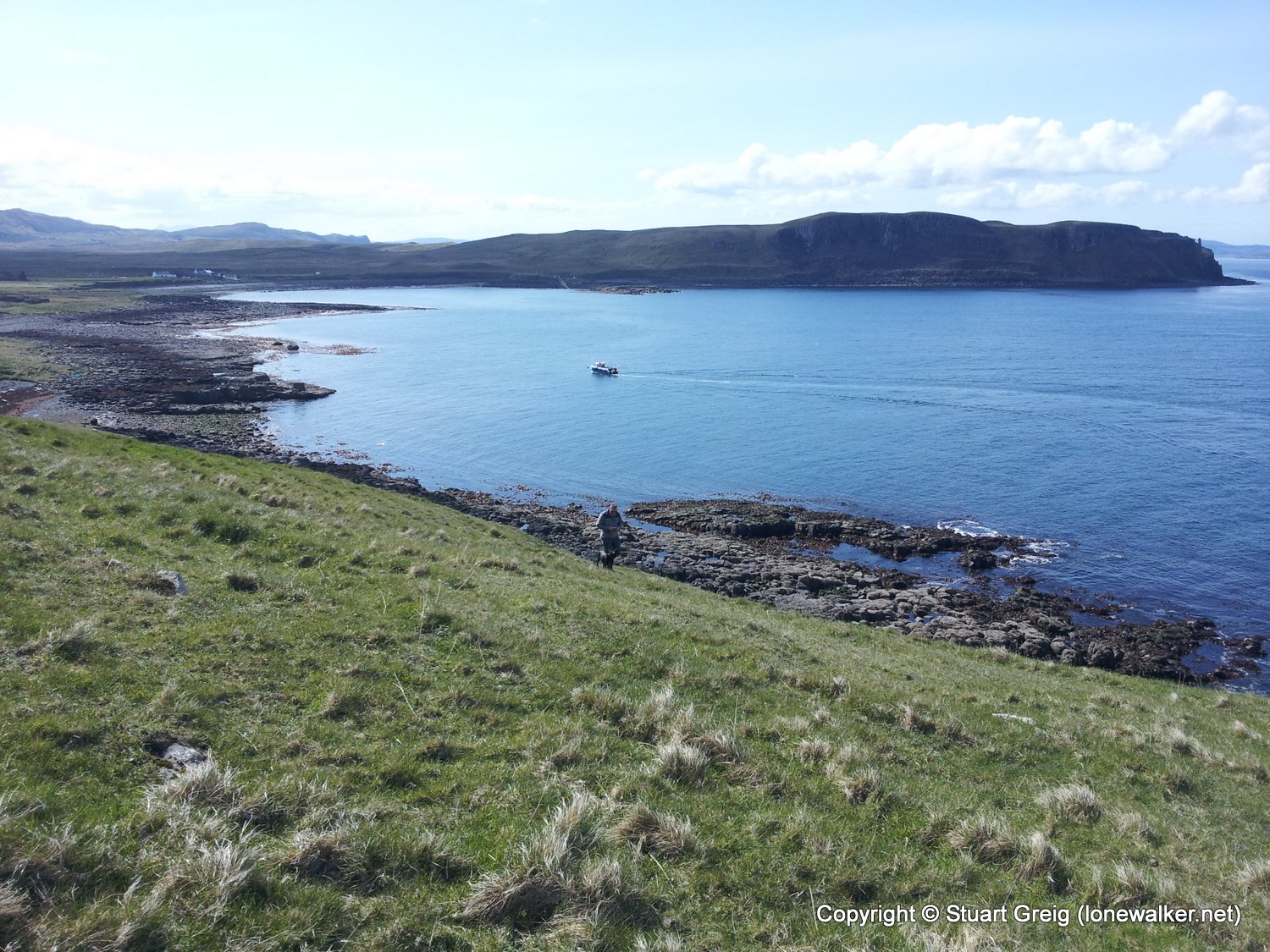
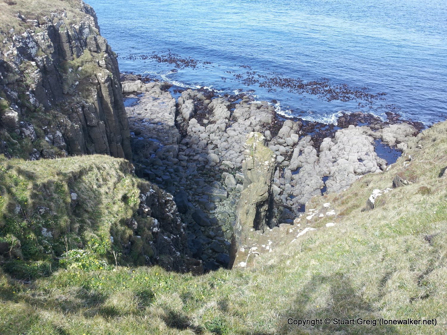
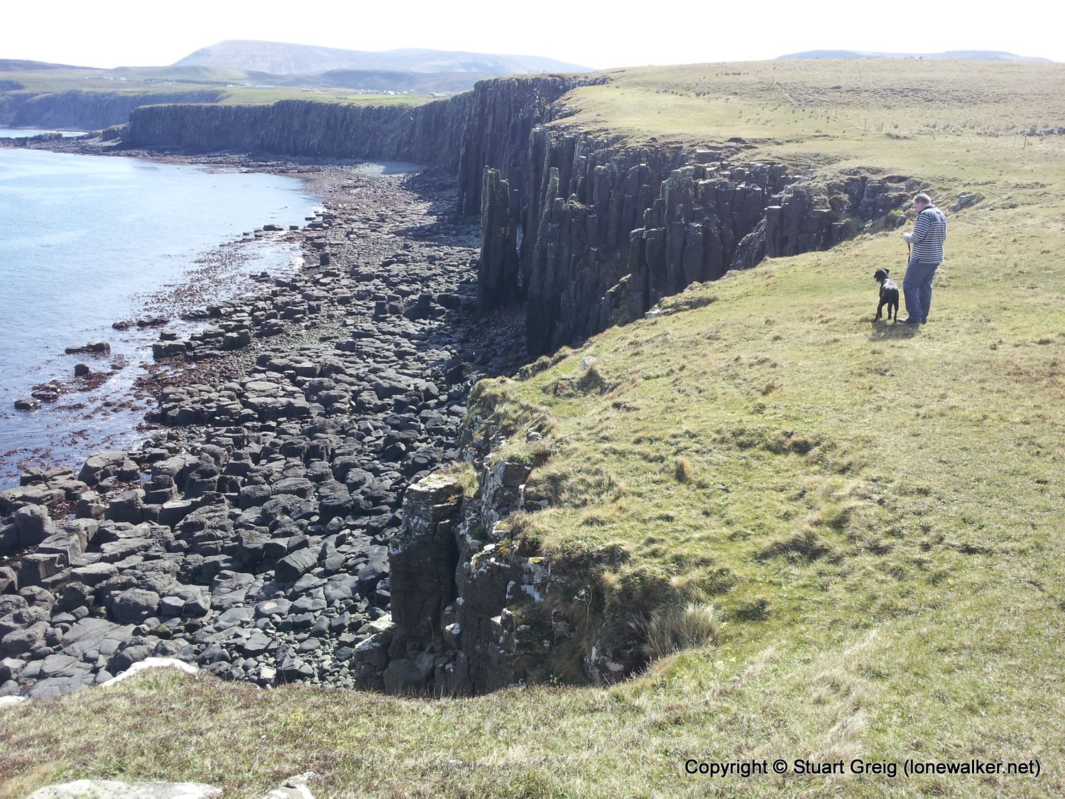
A stroll along the rocky beach from the croft, to the basalt pillars at Ru Bornesketaig, then up and over the headland to meet the road and back to the croft.
Date: 2012-05-05
Start: Camas More Finish: Camas More
Distance: 2.8 mls, 4.51 km
Height Gain: 300 ft, 91.4 m
Start Time: 11:50 End Time: 13:10
Duration: 01:20
Ave Speed: 2.0 mph
Region: Isle of Skye
Route Description: Camas More, beach and coast to Ru Bornesketaig, road to Bornesketaig, Camas More
Parking Grid Ref:
View Parking space in: OS Map or Google Street View
Walking with: Roger Greig
Long Distance Path:
Click any image to open the full screen photo gallery
Walk Name: Broadford to Drumfearn
Date: 2012-05-04
Distance: 9.8 mls, 15.77 km
Height Gain: 1200 ft, 365.8 m
Walk Name: Beinn Bhreac
Date: 2012-05-06
Distance: 4.0 mls, 6.44 km
Height Gain: 1100 ft, 335.3 m