
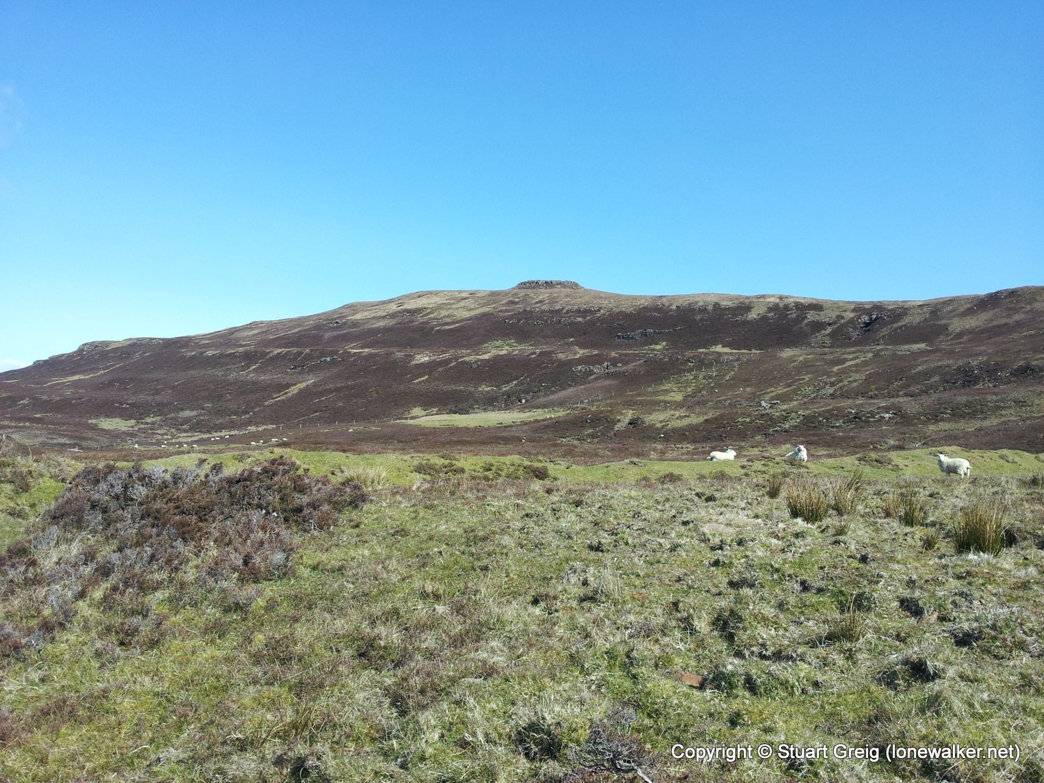
A warm and sunny day to ascend across trackless heather moorland to the summit of Beinn Bhreac and nearby trig point. Descent was reckless in hindsight, especially with the Skye Trail not yet complete. Should have extended to visit the coral beaches, but the crowds of people put me off.
Date: 2012-05-06
Start: Glen Claigan Finish: Glen Claigan
Distance: 4.0 mls, 6.44 km
Height Gain: 1100 ft, 335.3 m
Start Time: 13:00 End Time: 14:30
Duration: 01:30
Ave Speed: 2.7 mph
Region: Isle of Skye
Route Description: Glen Claigan car park, farm track from gate at NG 23697 53907, along rough track to NG 24647 52917, then trackless to summit of Beinn Bhreac, trackless across high ground to trig point, down trackless hillside, Glen Claigan car park
Parking Grid Ref: NG 23249 53757
View Parking space in: OS Map or Google Street View
Walking with: Alone
Long Distance Path:
1234 - Beinn Bhreac (1079 ft)
TP1159 - Beinn Bhreac (Slightly damaged condition)
Click any image to open the full screen photo gallery



Walk Name: Ru Bornesketaig
Date: 2012-05-05
Distance: 2.8 mls, 4.51 km
Height Gain: 300 ft, 91.4 m
Walk Name: Drumfearn to Armadale
Date: 2012-05-07
Distance: 18.1 mls, 29.13 km
Height Gain: 2800 ft, 853.4 m