
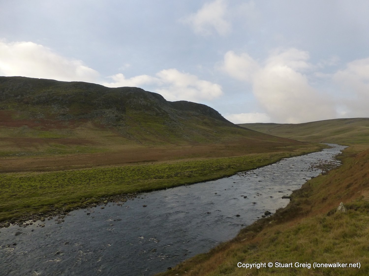
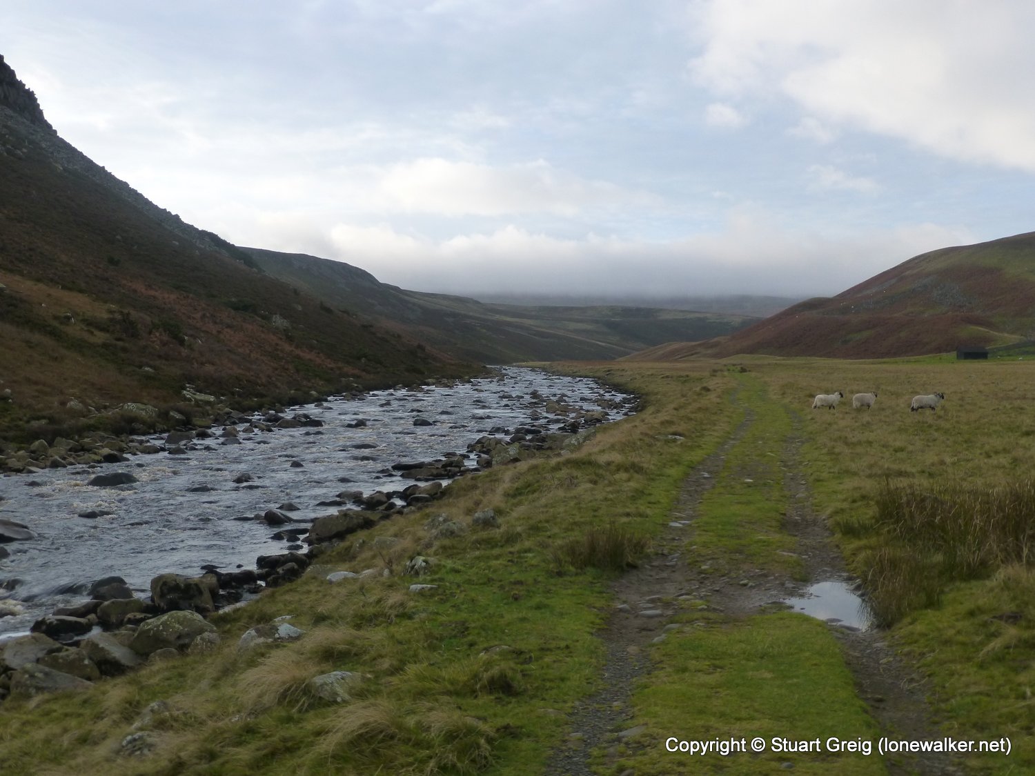
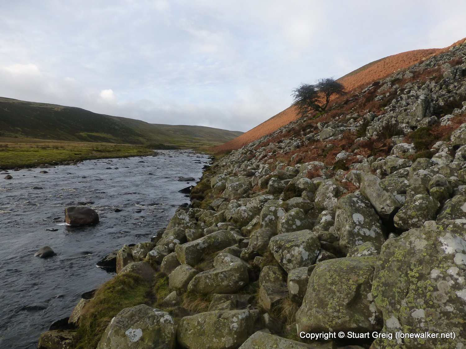
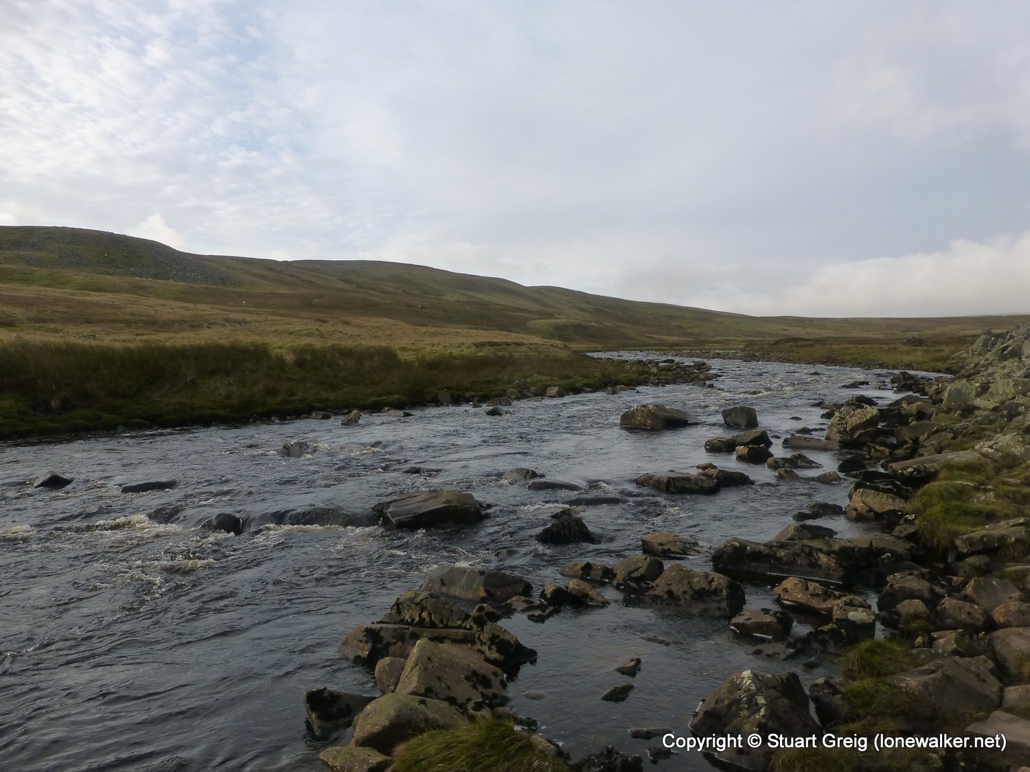
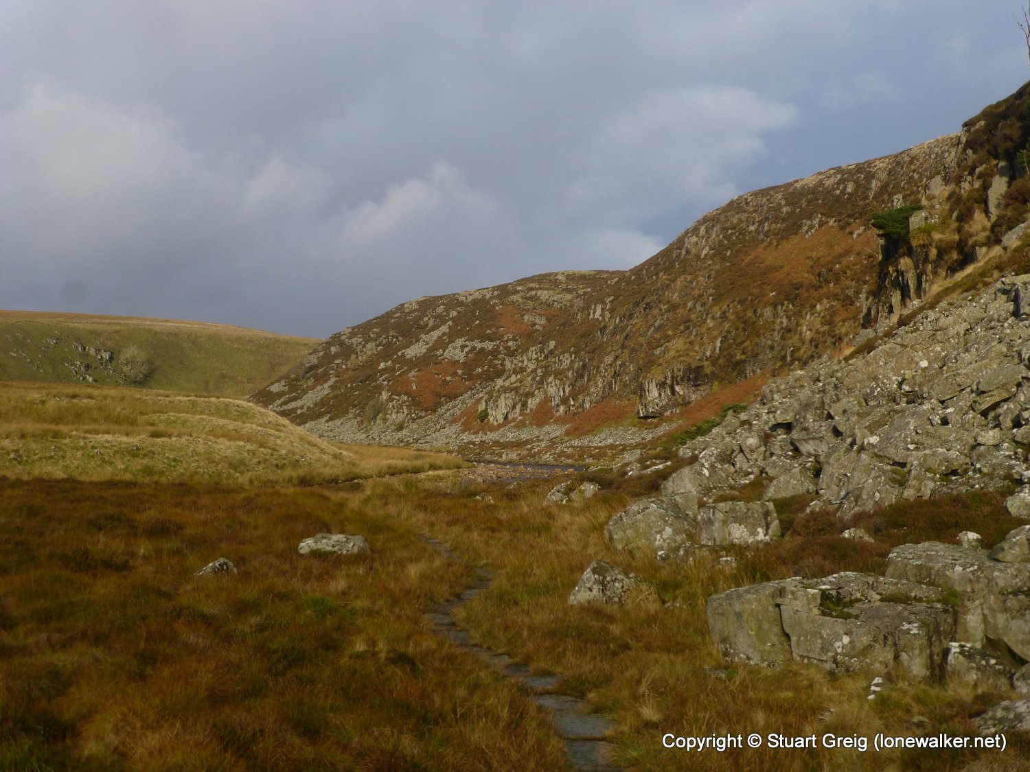
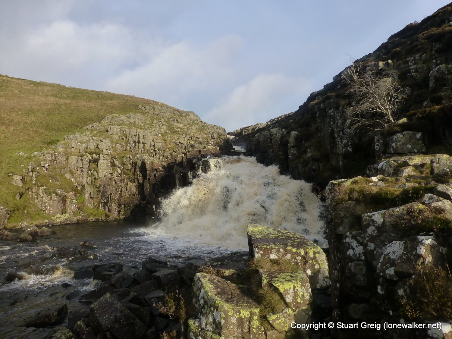
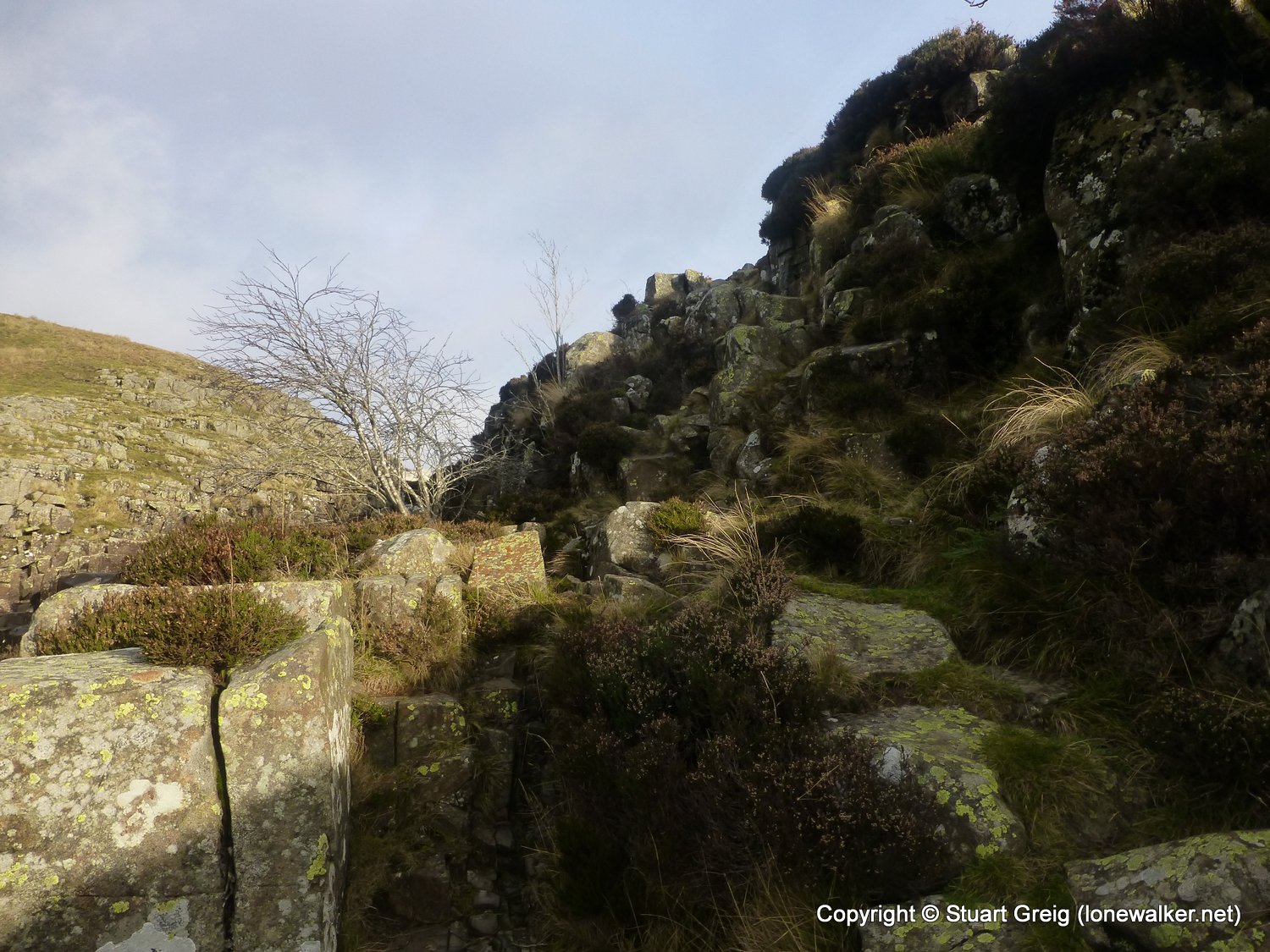
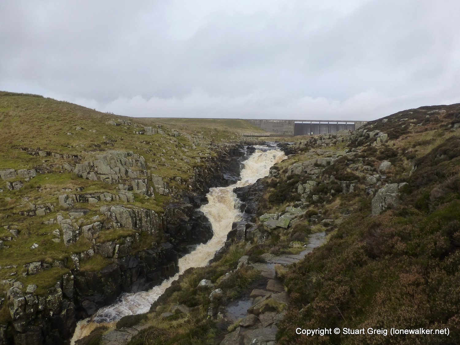
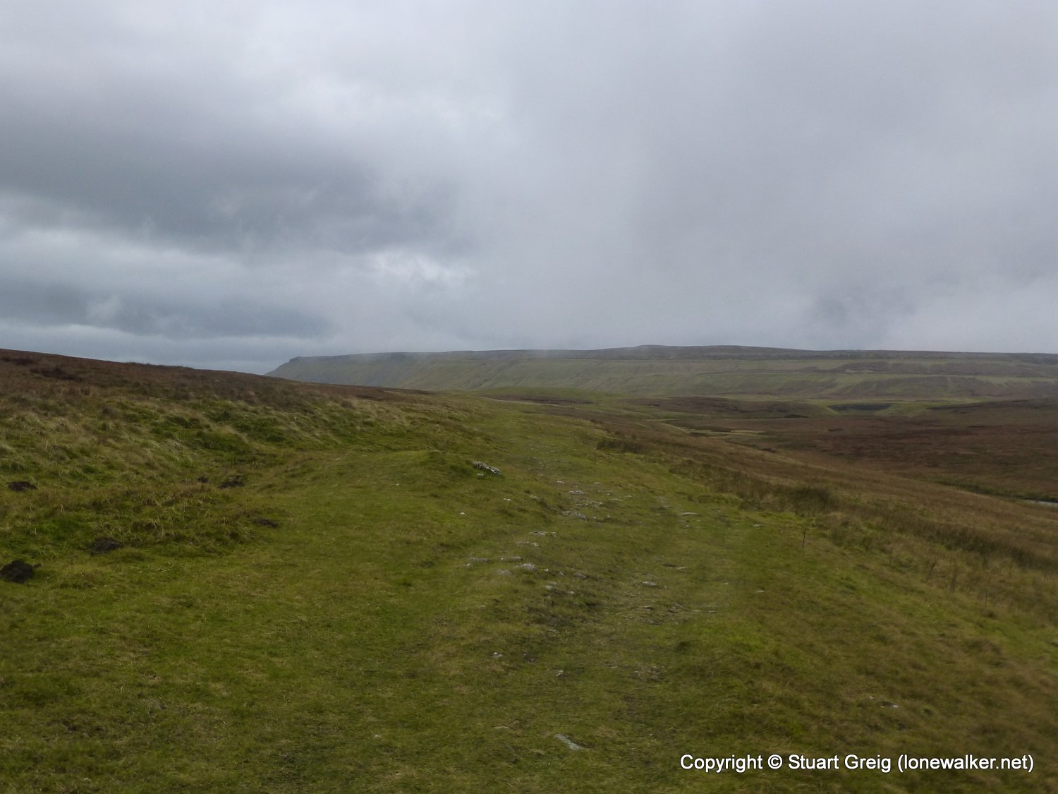
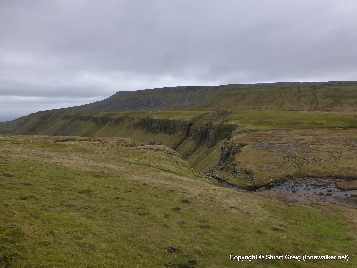
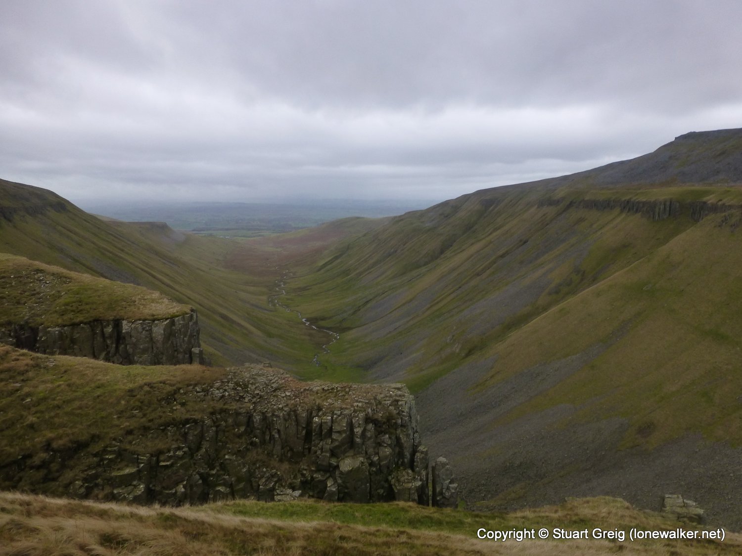
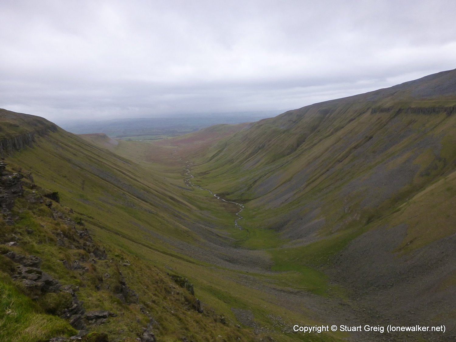
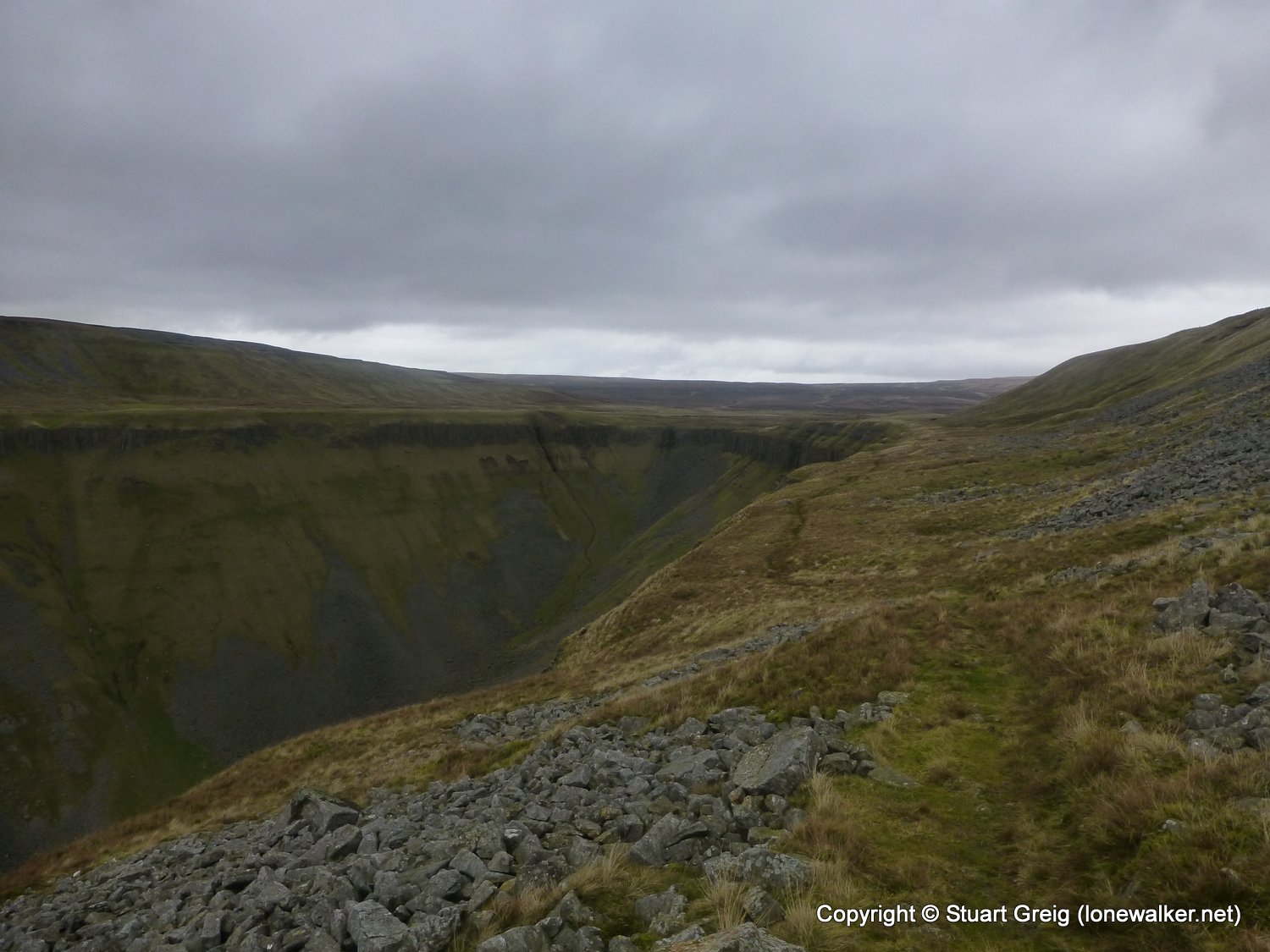
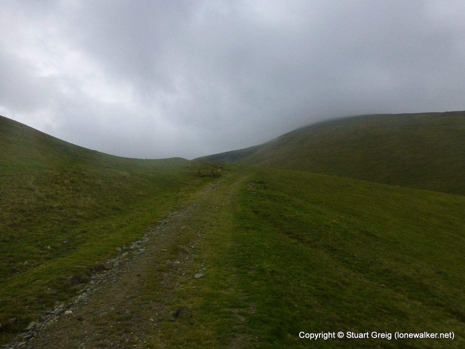
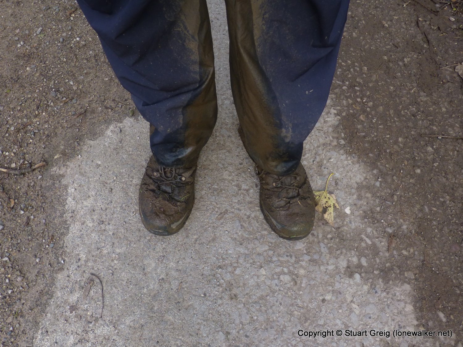
Today almost killed me - the wind was in my face all day and with gusts over 30mph it was damned hard work. It was also bitter cold, so I was wrapped up like an eskimo. Unexpectedly, I found Cauldron Snout to be the highlight of the day - with High Cup looking quite dull in the cloud and mist, but the climb up beside the thundering falls was quite exciting and thoroughly enjoyable. A great day to finish the walk as I was so tired I couldn't even consider walking any further!
Date: 2013-11-13
Start: Langdon Beck Finish: Appleby
Distance: 15.6 mls, 25.11 km
Height Gain: 1600 ft, 487.7 m
Start Time: 08:10 End Time: 14:00
Duration: 05:50
Ave Speed: 2.7 mph
Region: Northern Pennines
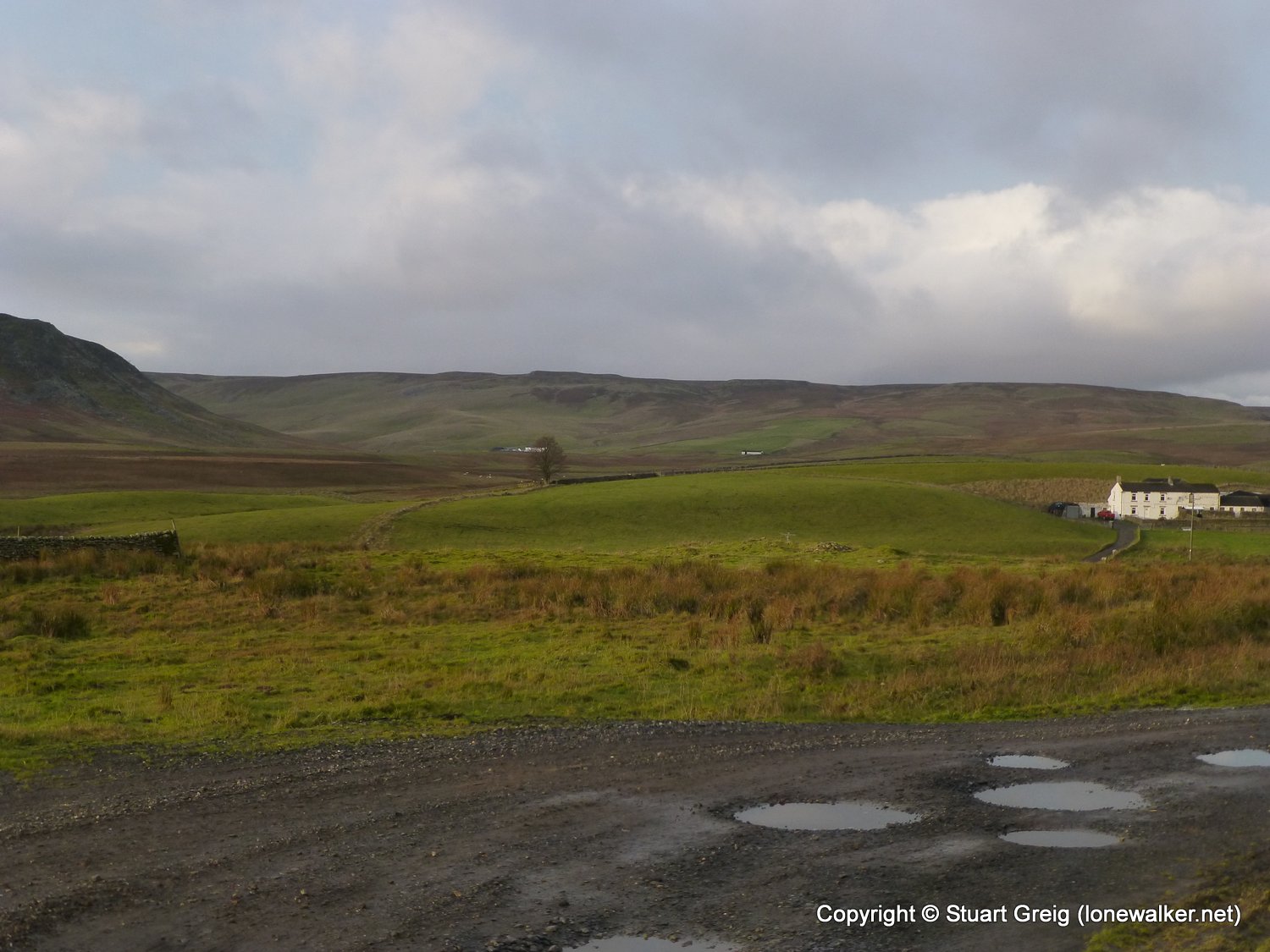
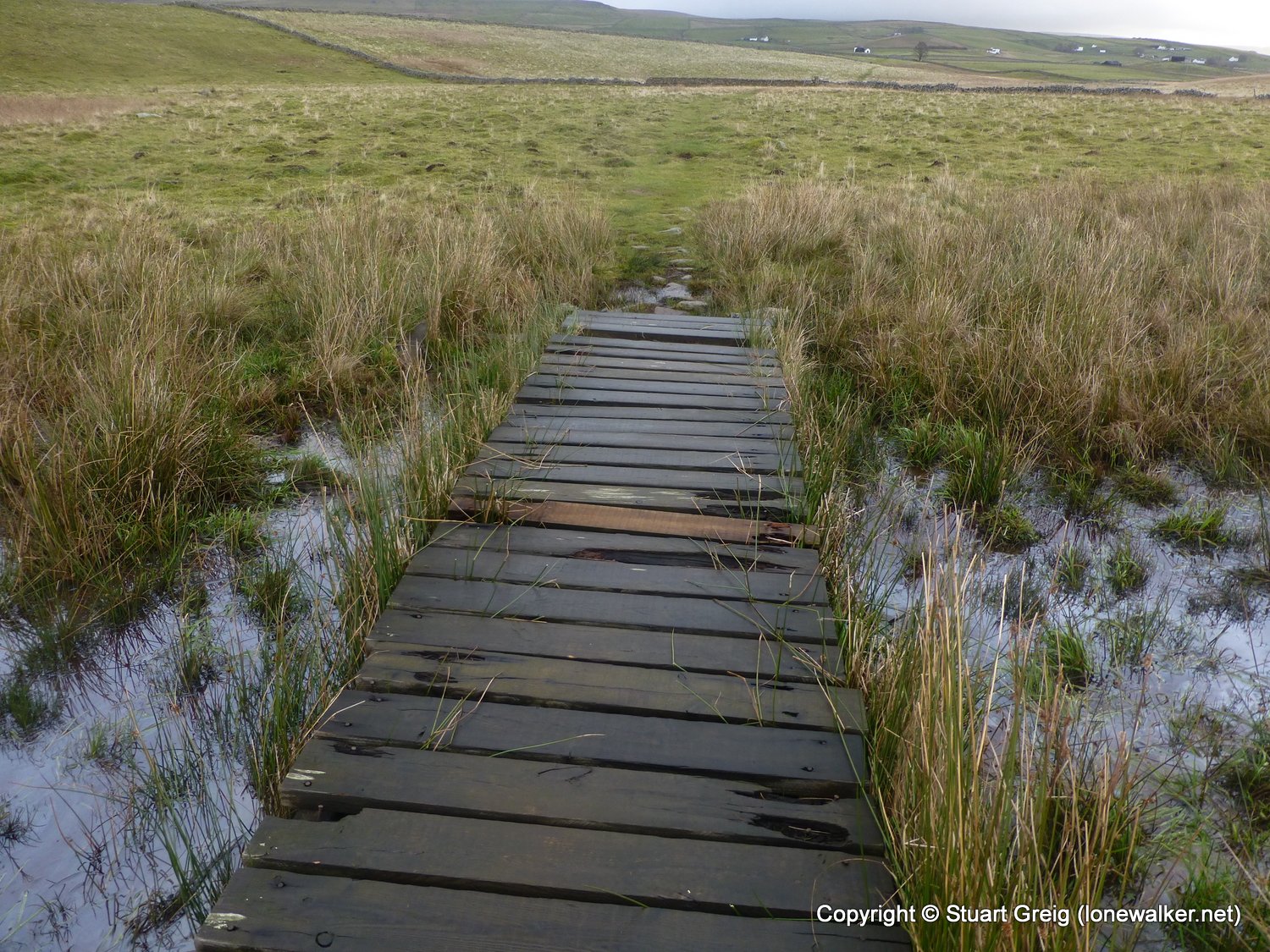
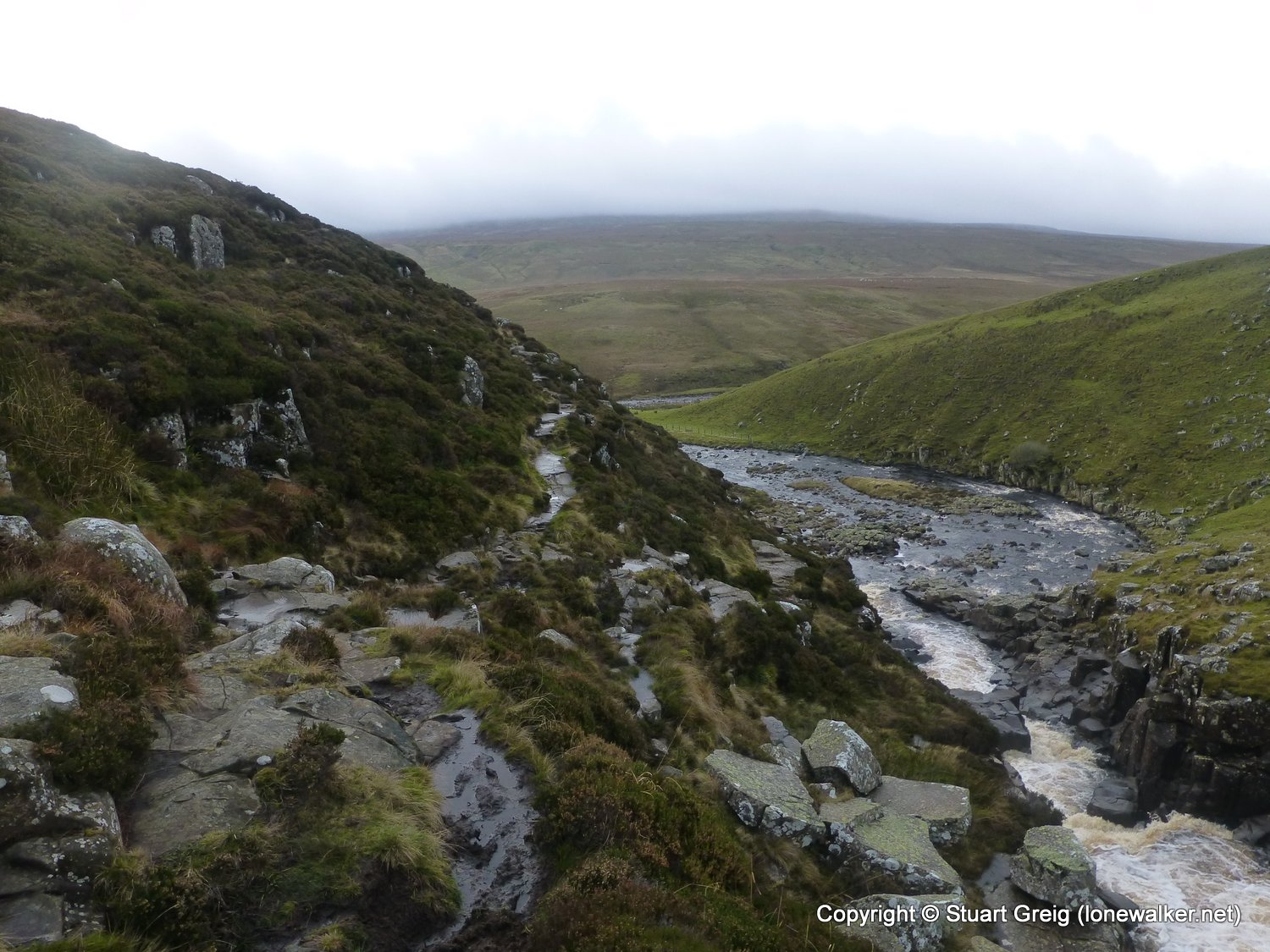
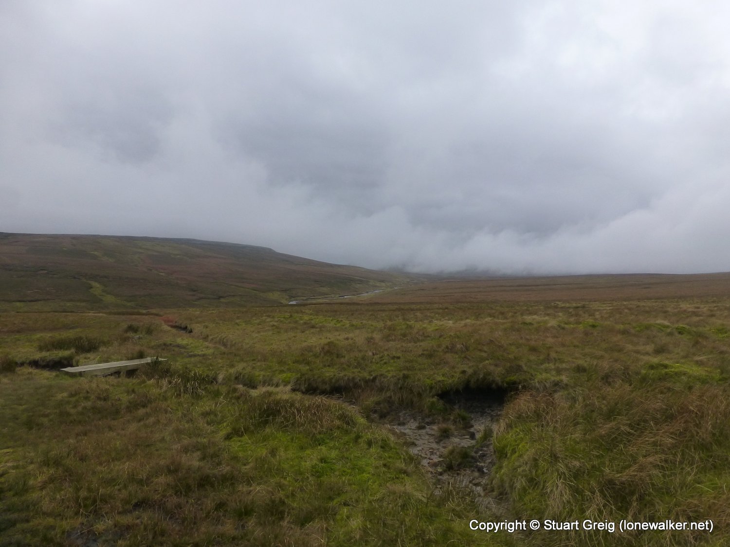
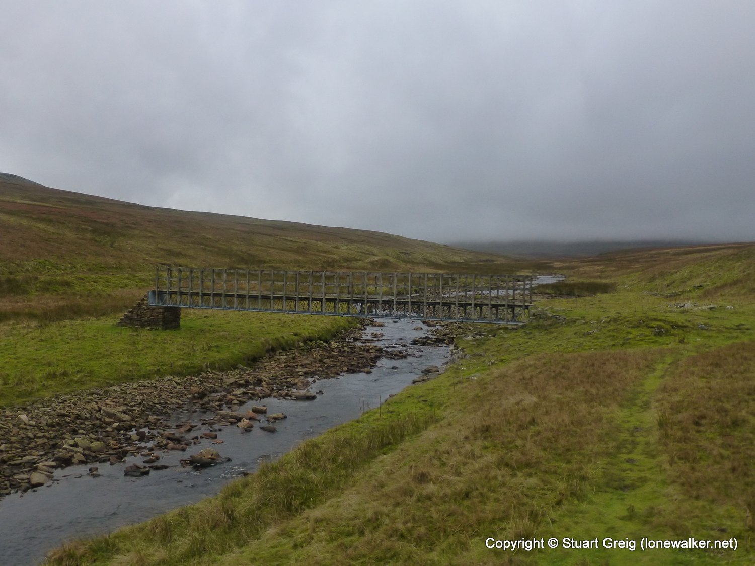
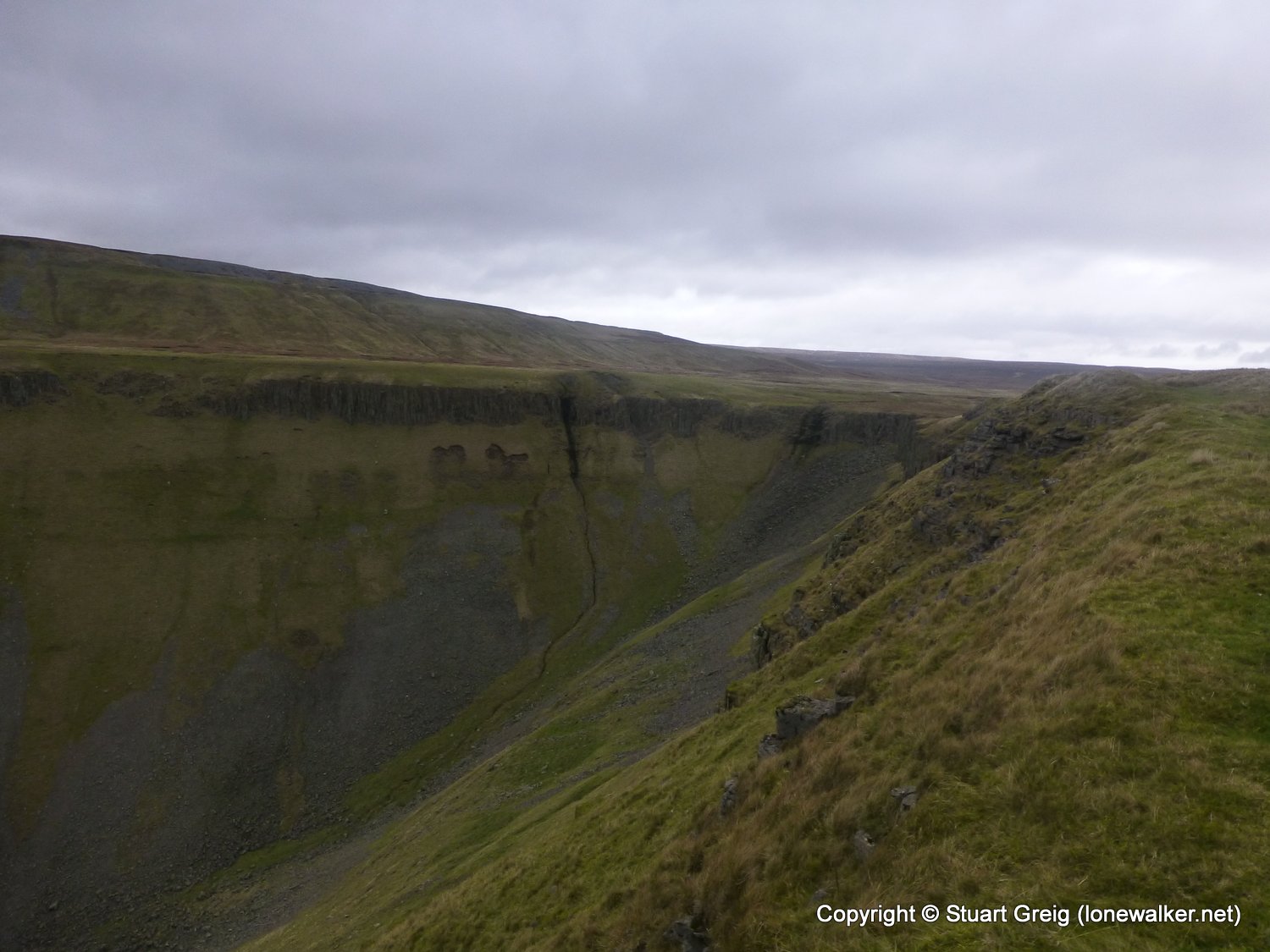
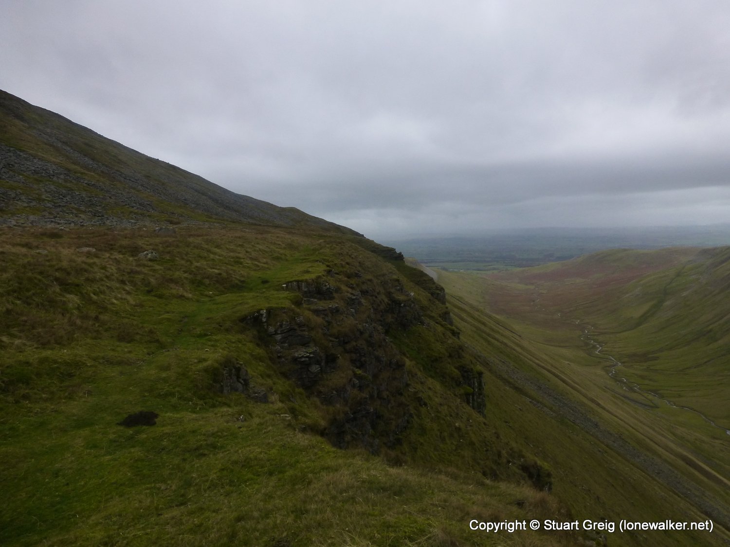
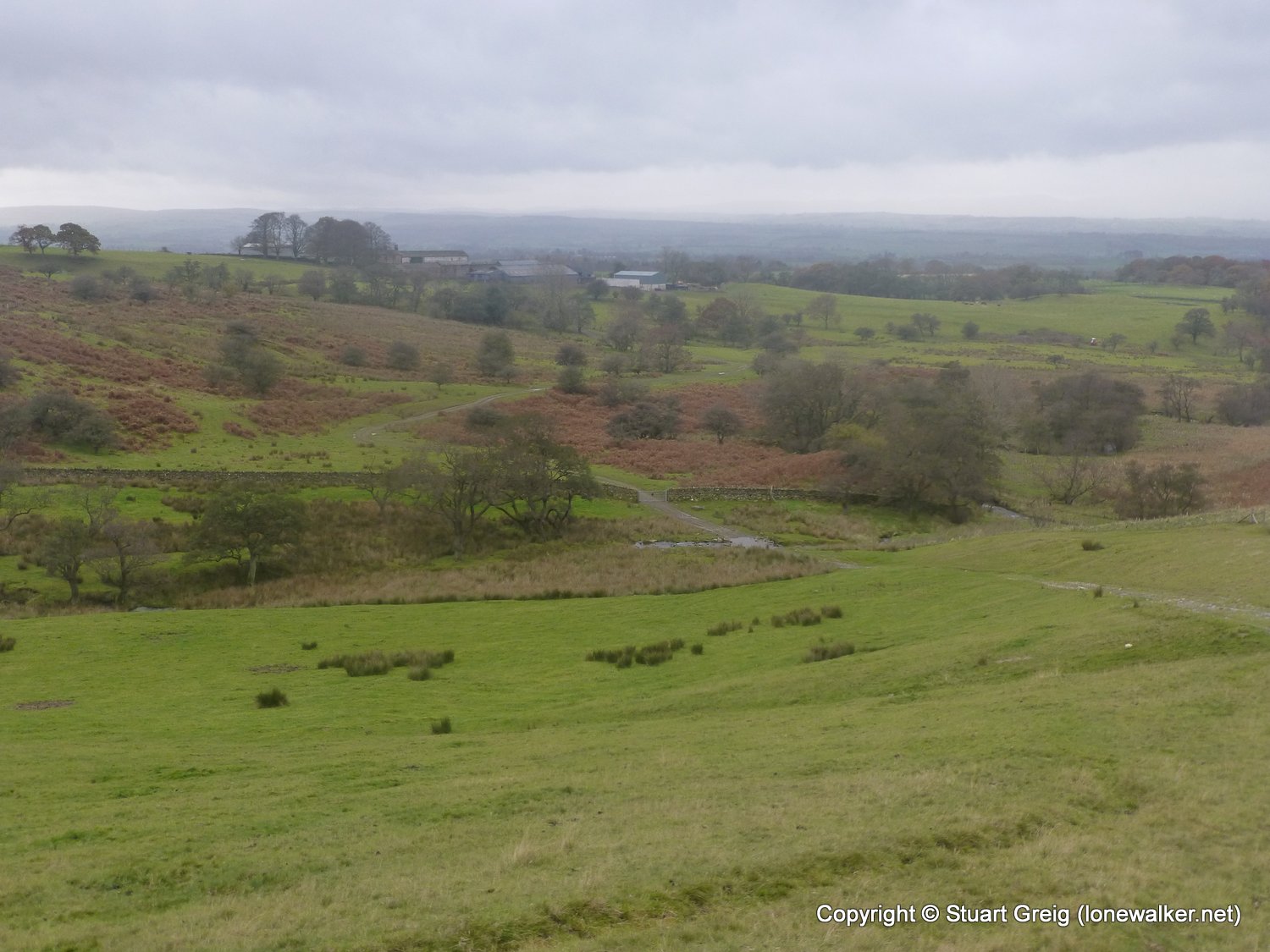
Route Description: Langdon Beck, Sayer Hill, Widdy Bank, Falcon Clints, Cauldron Snout, Rasp Hill, Maize Beck, High Cup Nick, Middle Tongue, Harbour Flatt, Brackenthwaite, well House Road, Appleby
Parking Grid Ref: NY 68663 20672
View Parking space in: OS Map or Google Street View
Walking with: Alone
Long Distance Path: Pennine Way
Link to full Walk Report: https://lonewalker.net/langdon-beck-to-appleby/
Download GPX file for this walk:
If your browser opens the file directly, right click and "Save As.."
Click any image to open the full screen photo gallery
Walk Name: Baldersdale to Langdon Beck
Date: 2013-11-12
Distance: 16.2 mls, 26.07 km
Height Gain: 2100 ft, 640.1 m
Walk Name: Moughton from Clapham
Date: 2013-11-23
Distance: 10.1 mls, 16.25 km
Height Gain: 1600 ft, 487.7 m