
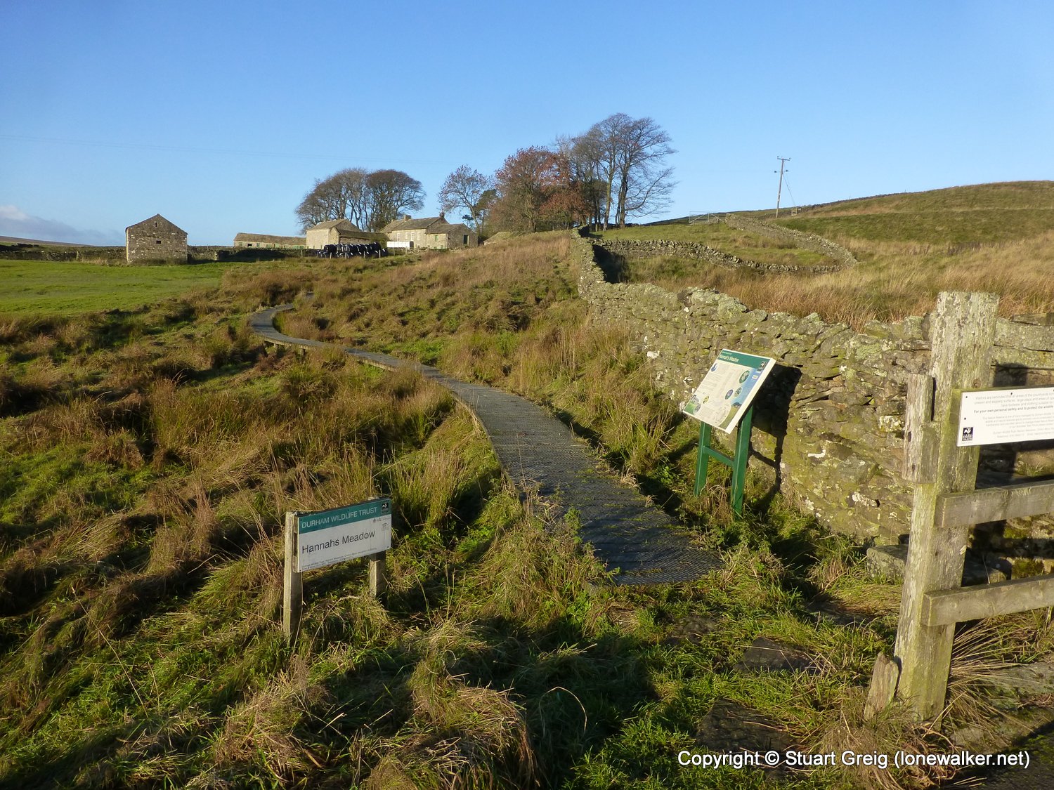
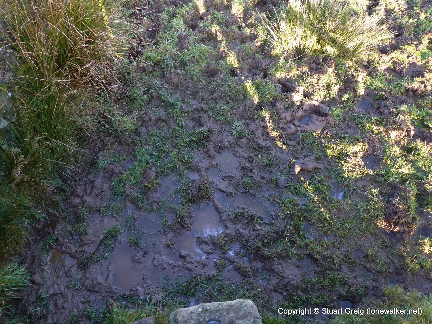
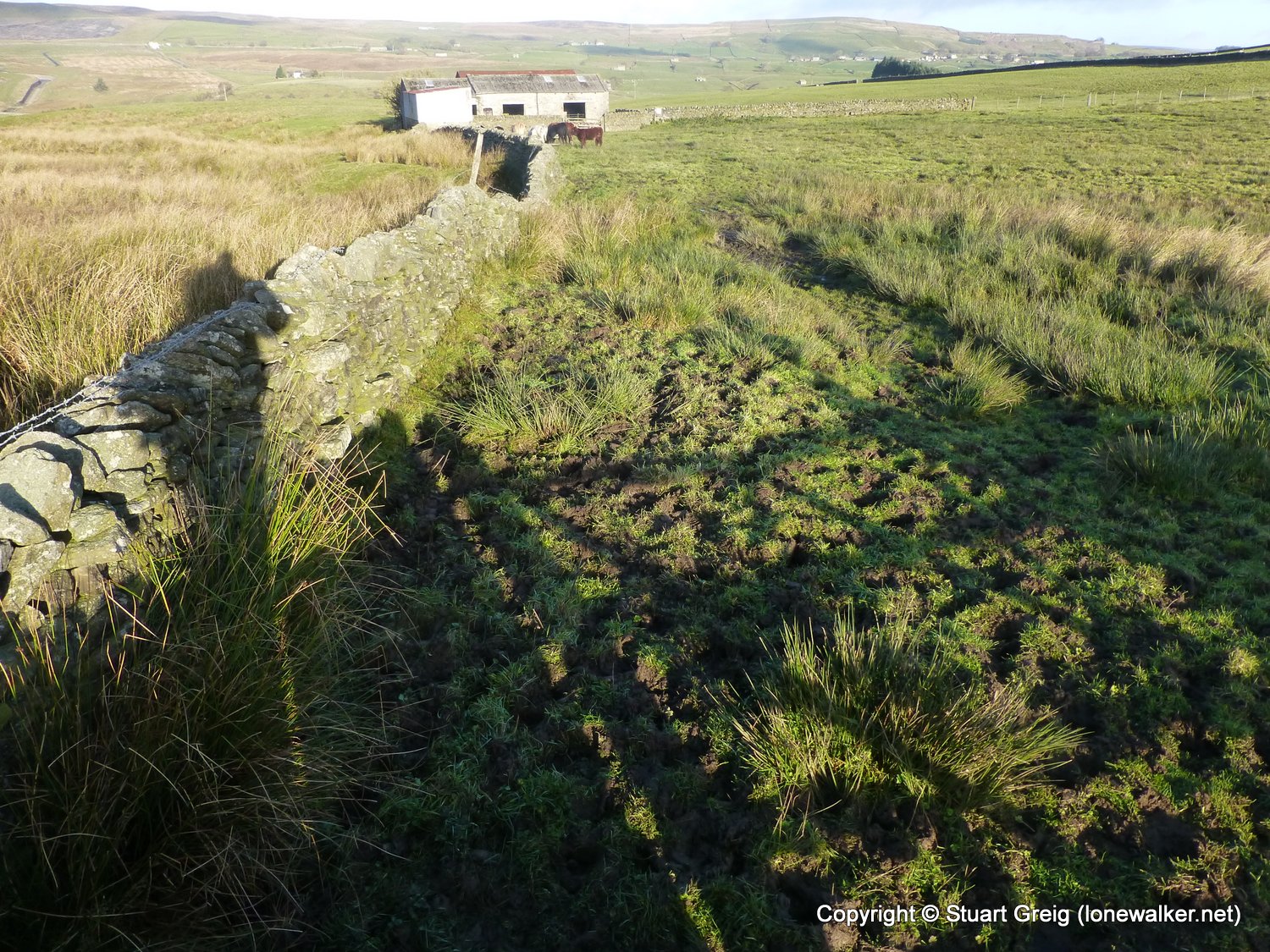
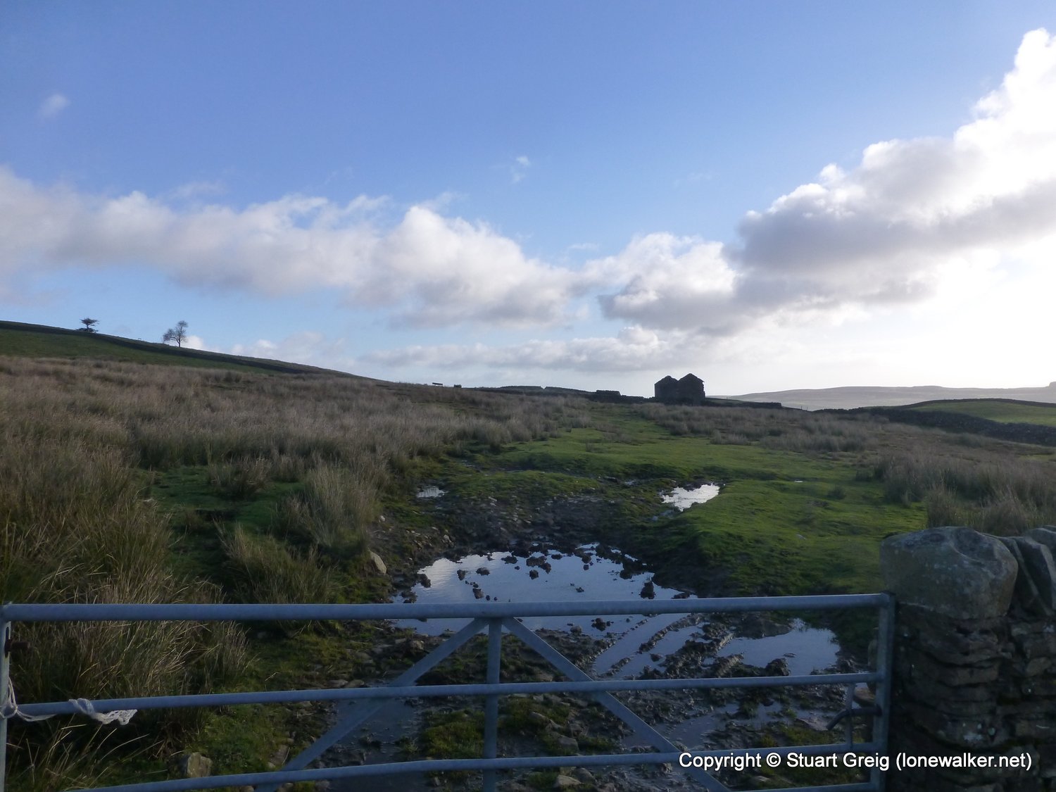
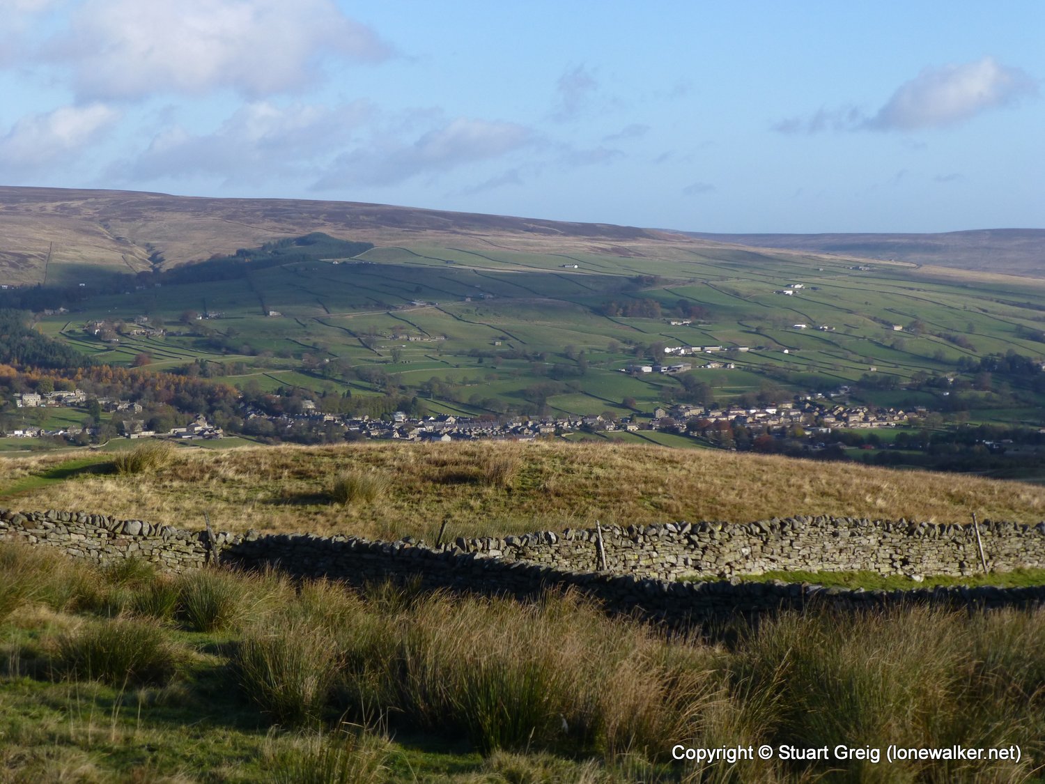
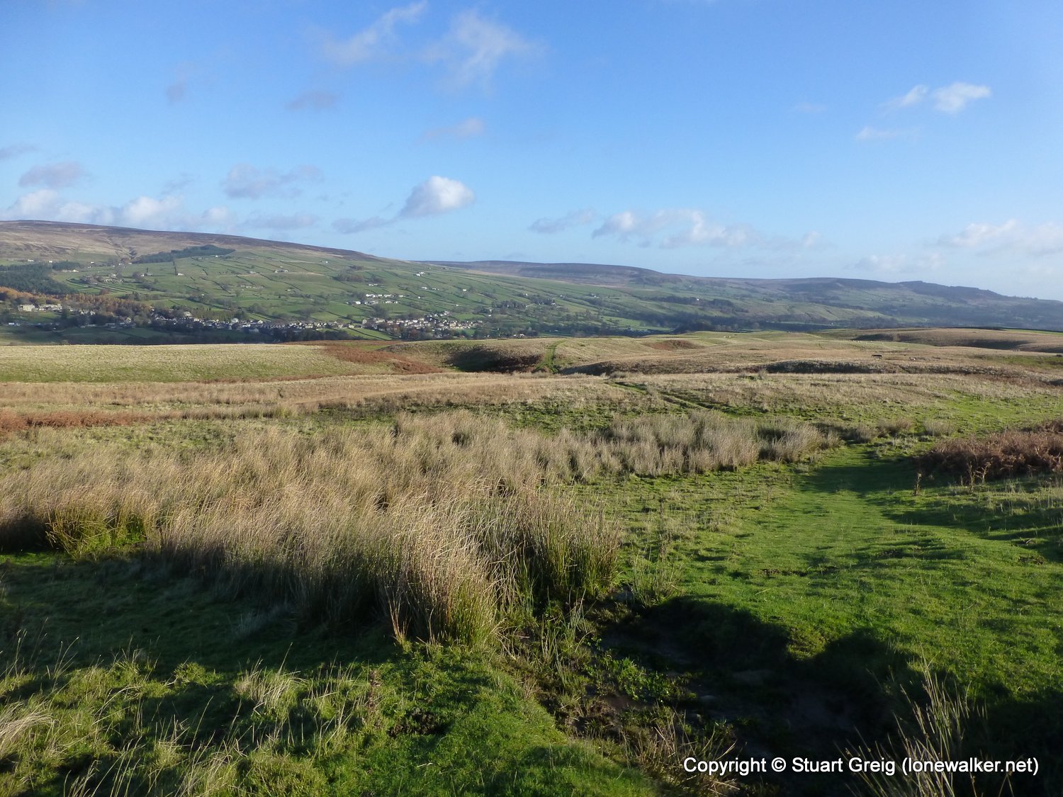
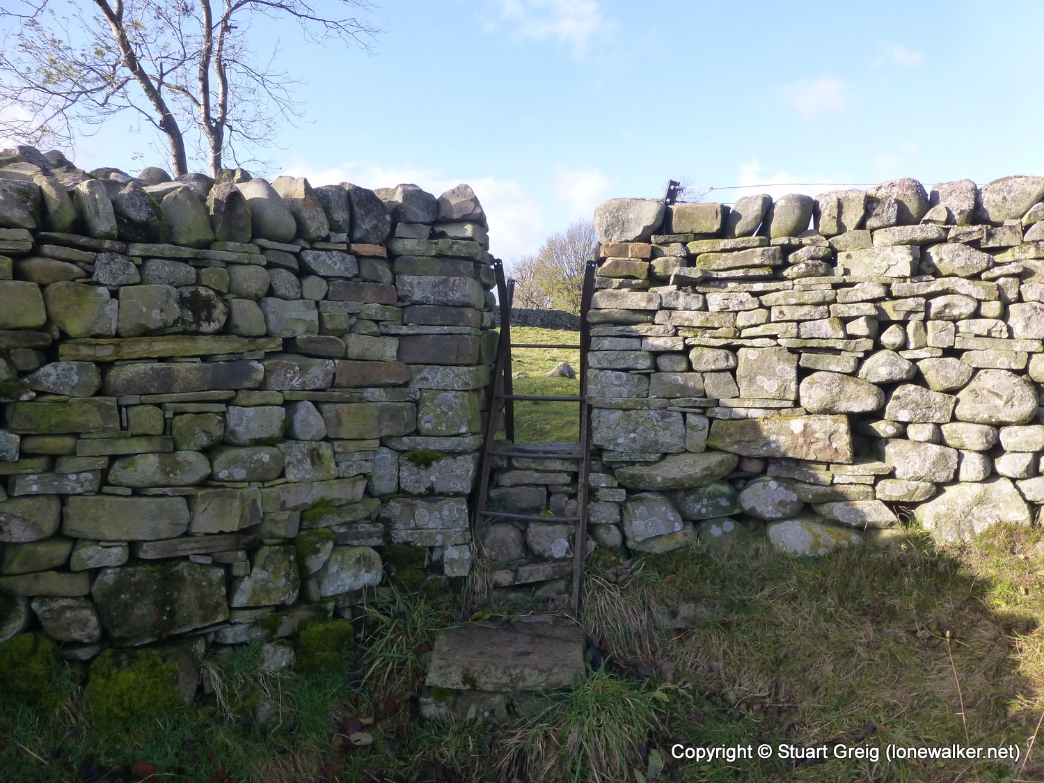
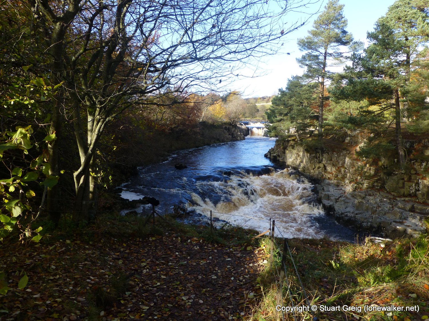
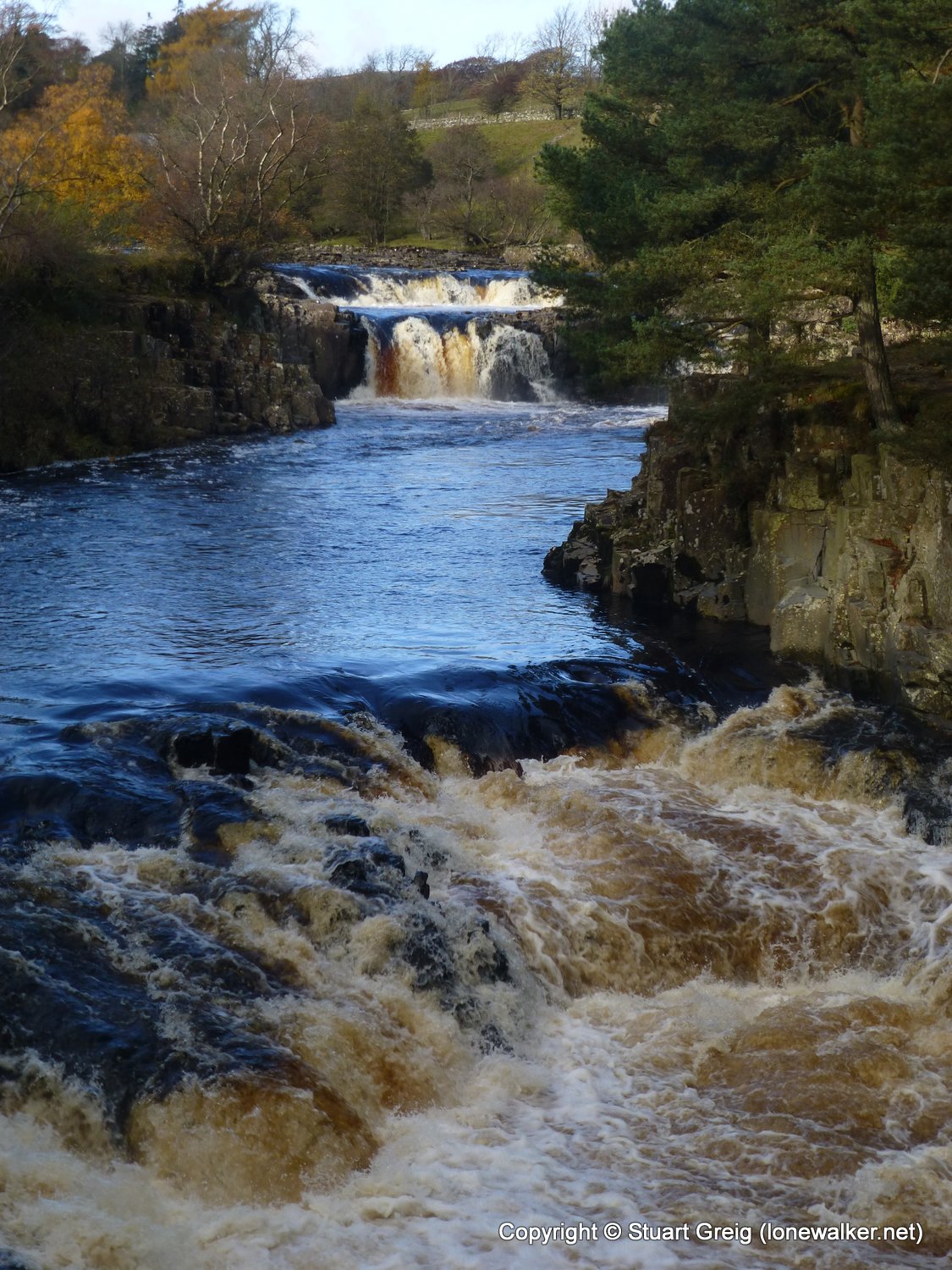
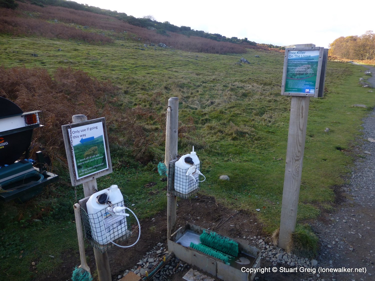
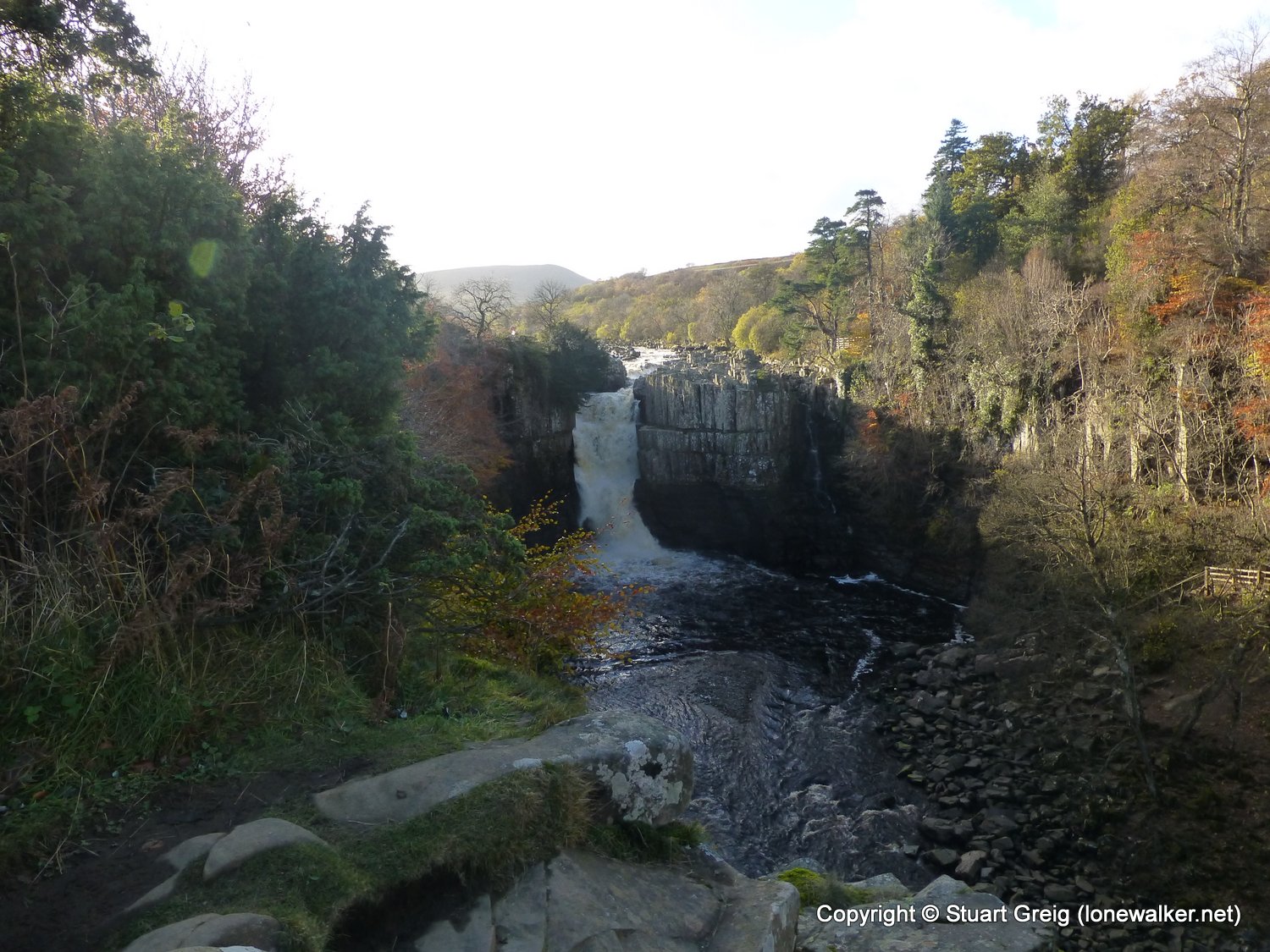
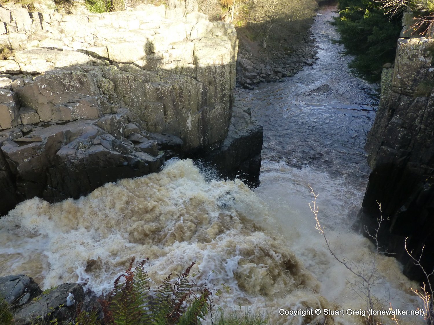
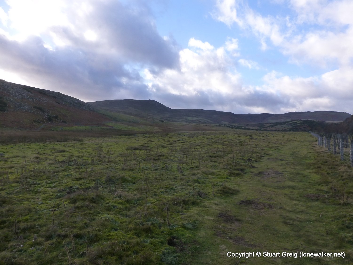
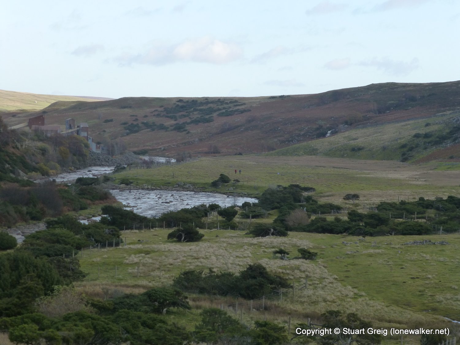
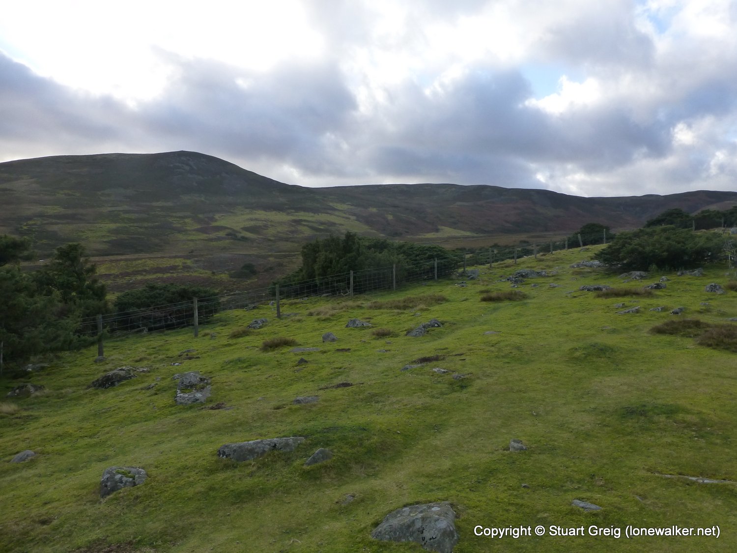
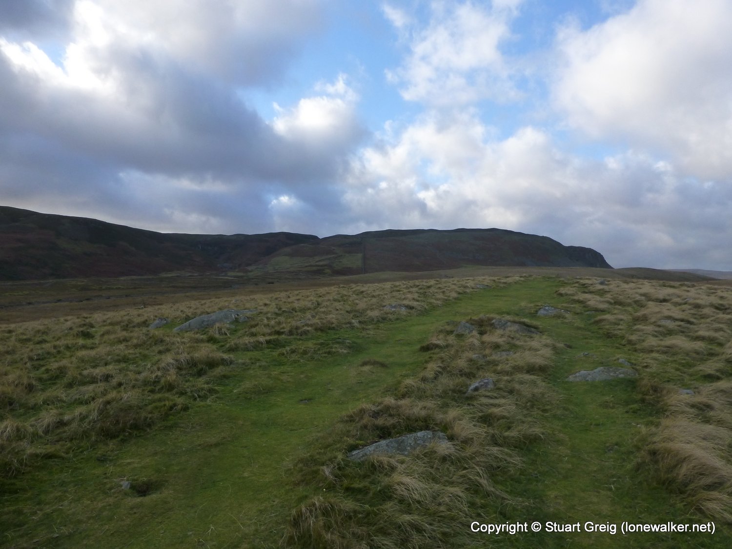
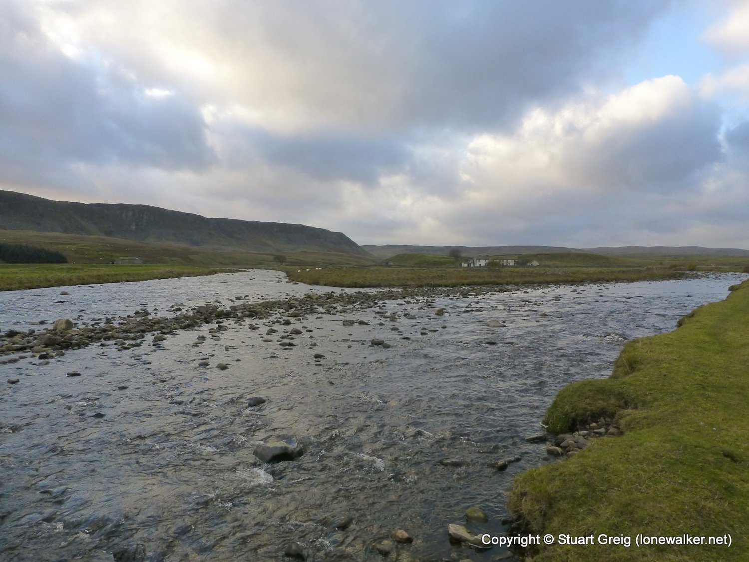
A bit of a dull trudge through boggy fields and pastures for the start of the day, until the descent around Harter Fell and into Middleton which was much better. The first few miles out of Middleton are a bit of a steeplechase course, with far too many stiles to negotiate. Low Force and High Force are superb of course and I also enjoyed the section over Bracken Rigg. A warm welcome at East Underhurth and well worth staying here if you can
Date: 2013-11-12
Start: Baldersdale Finish: Langdon Beck
Distance: 16.2 mls, 26.07 km
Height Gain: 2100 ft, 640.1 m
Start Time: 08:30 End Time: 15:20
Duration: 06:50
Ave Speed: 2.4 mph
Region: Northern Pennines
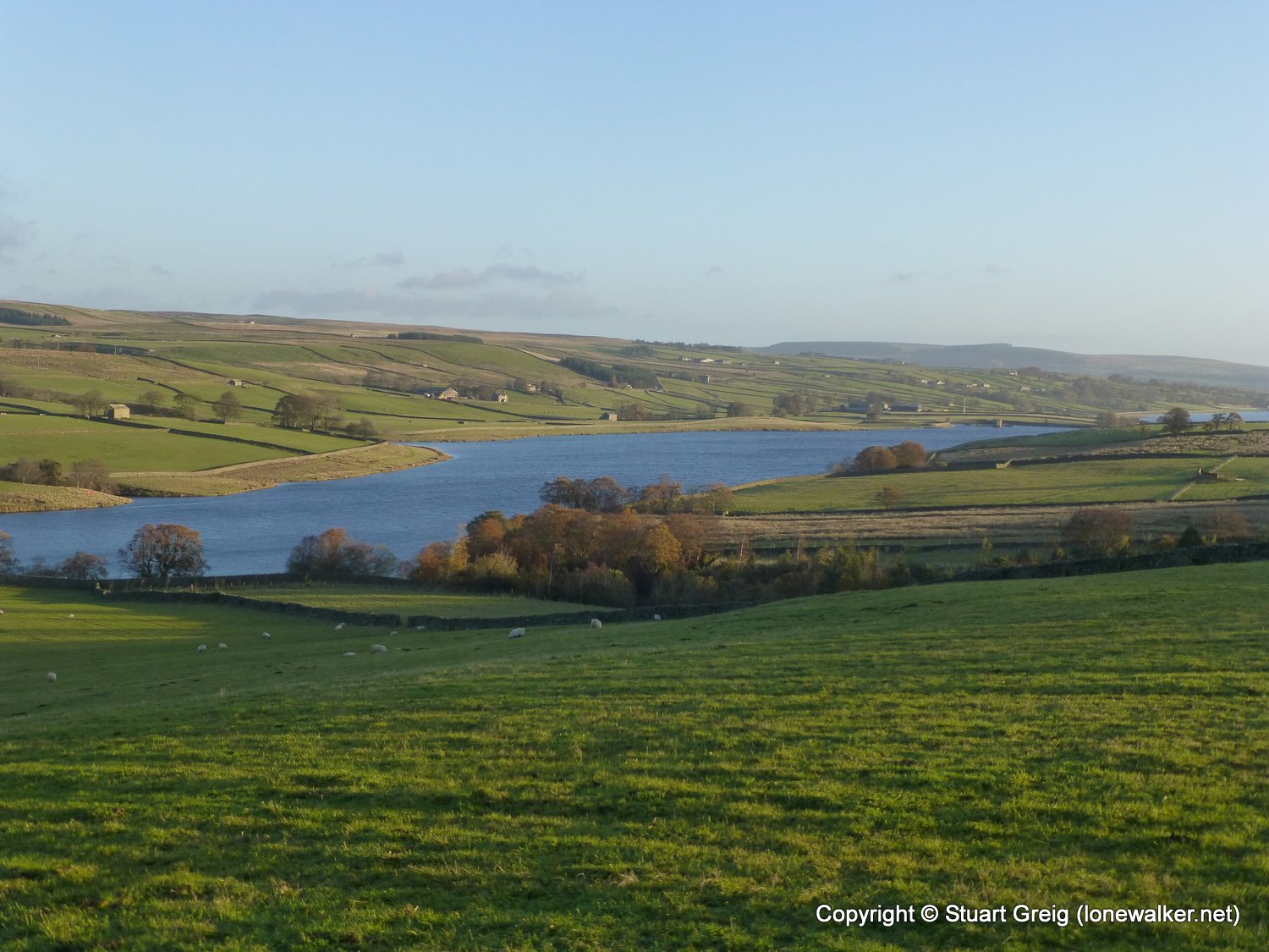
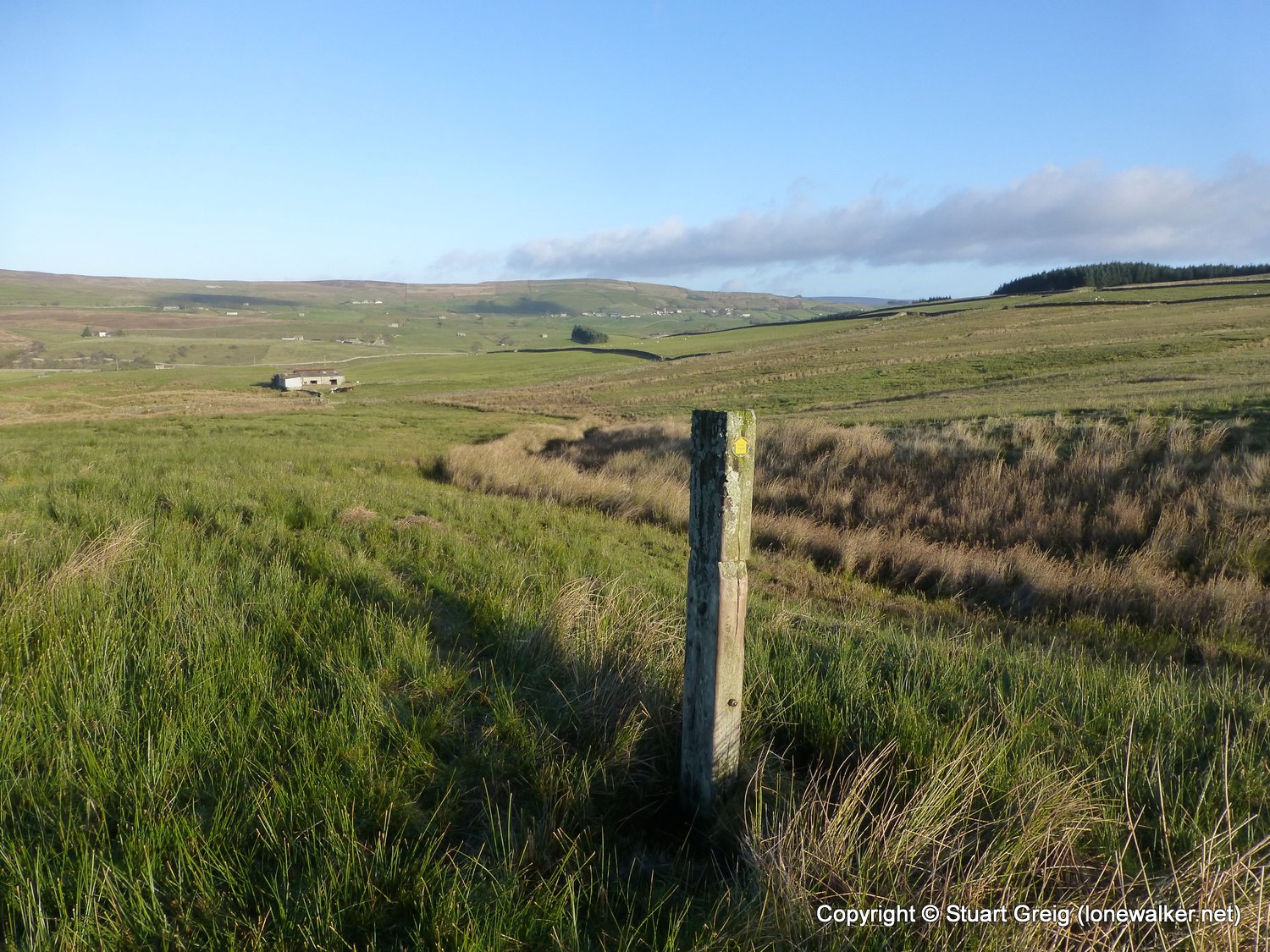
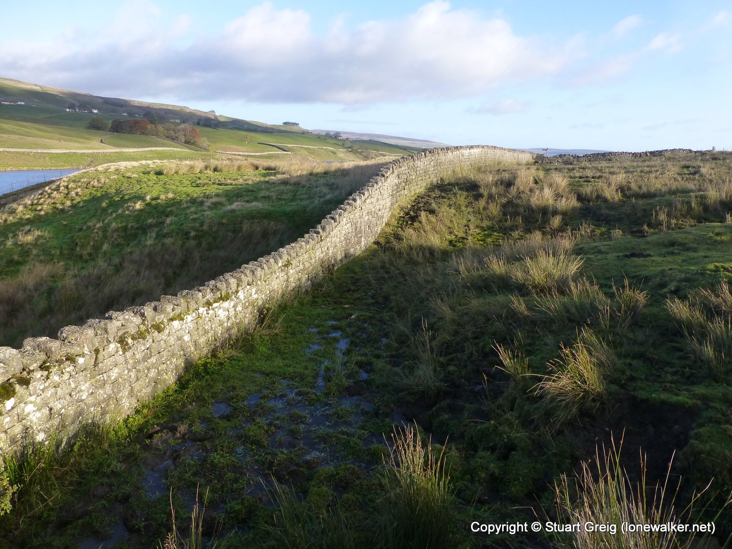
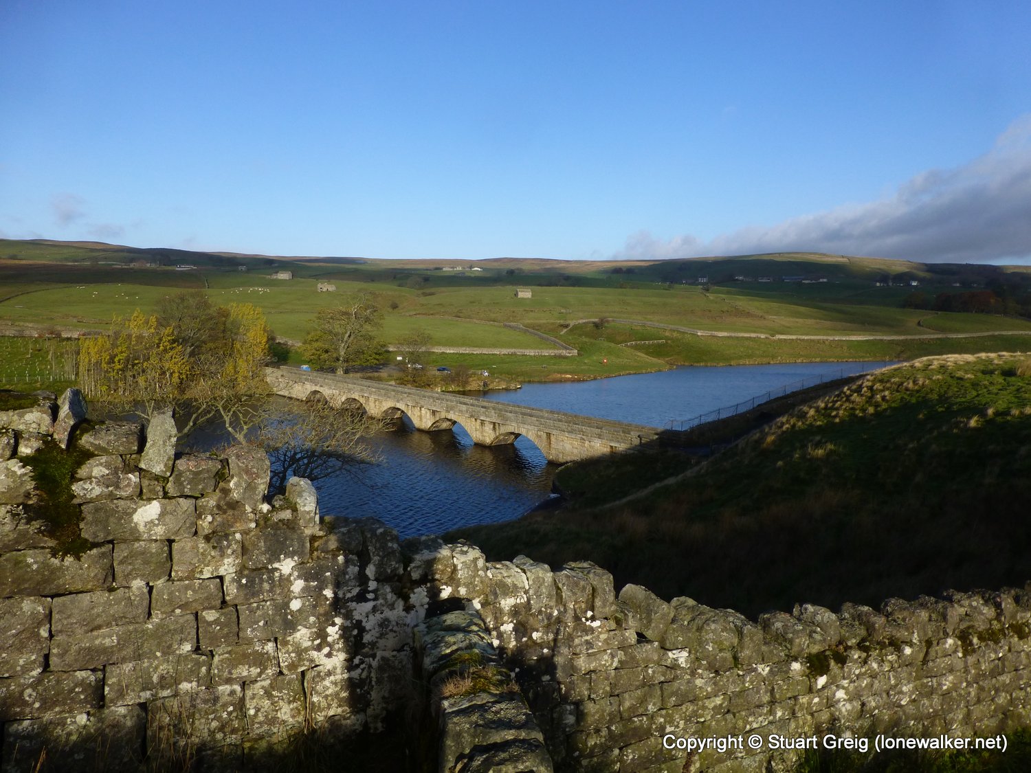
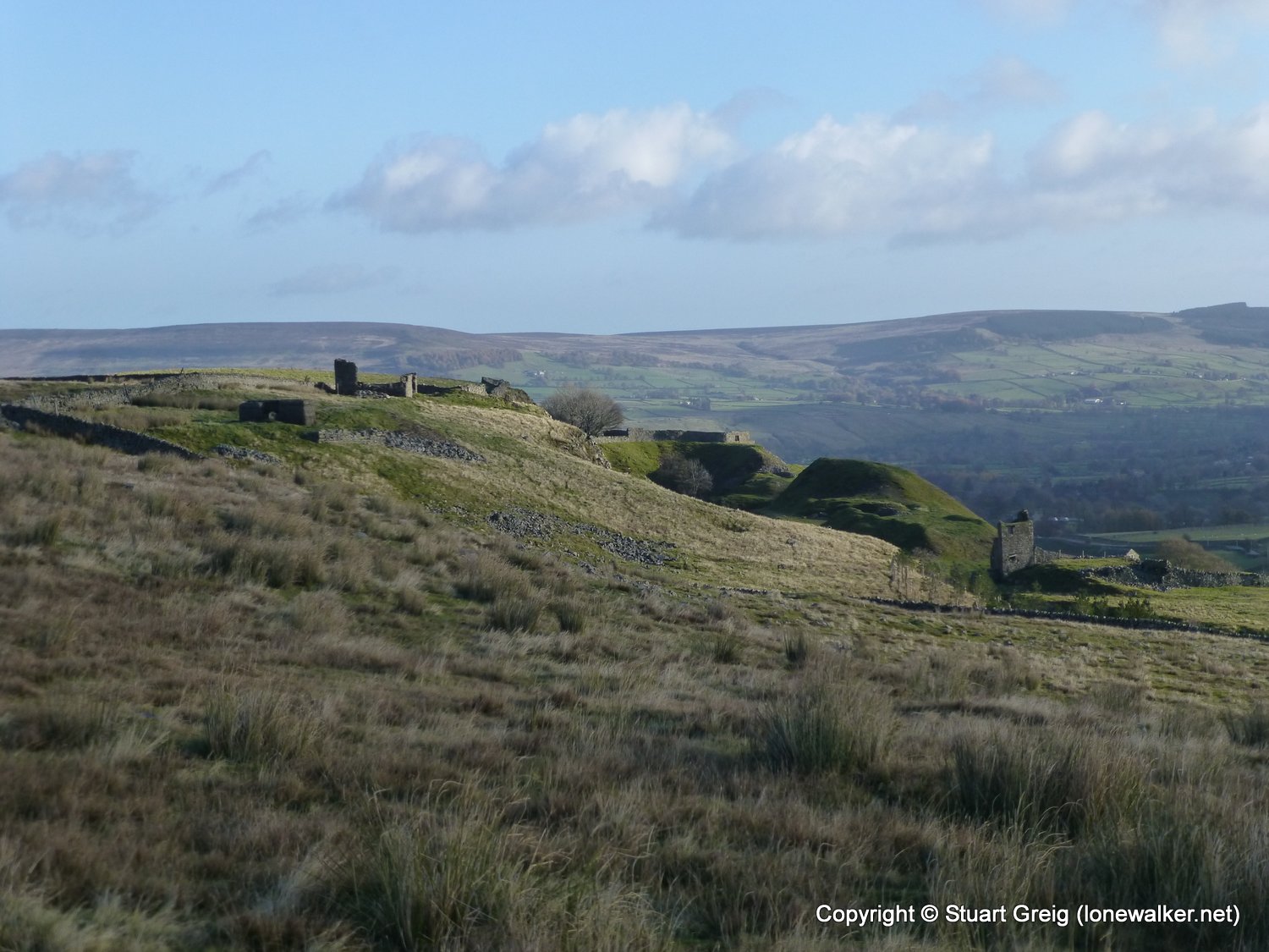
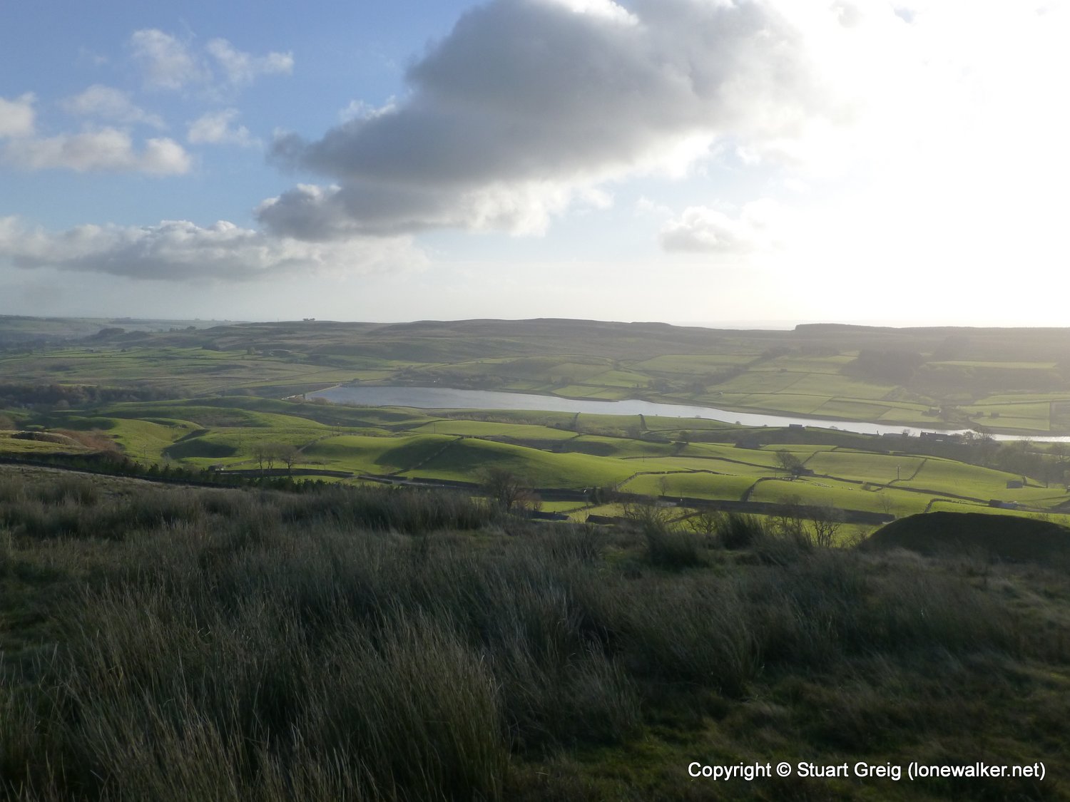
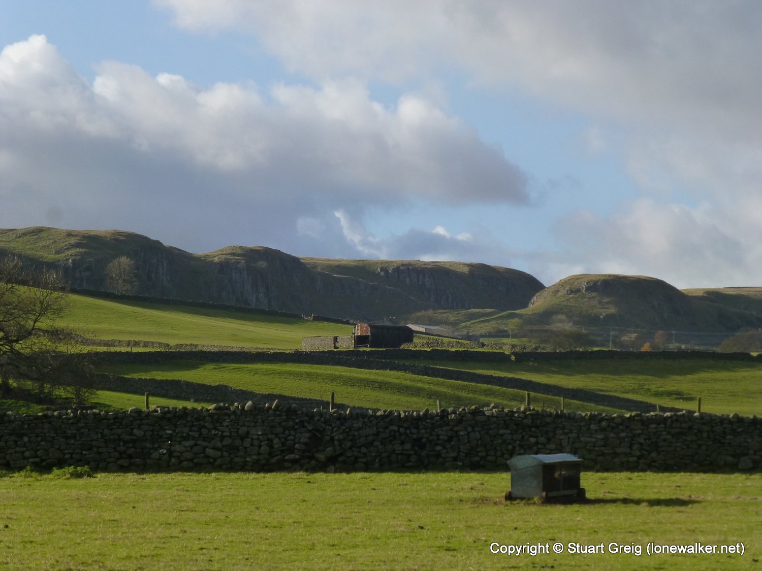
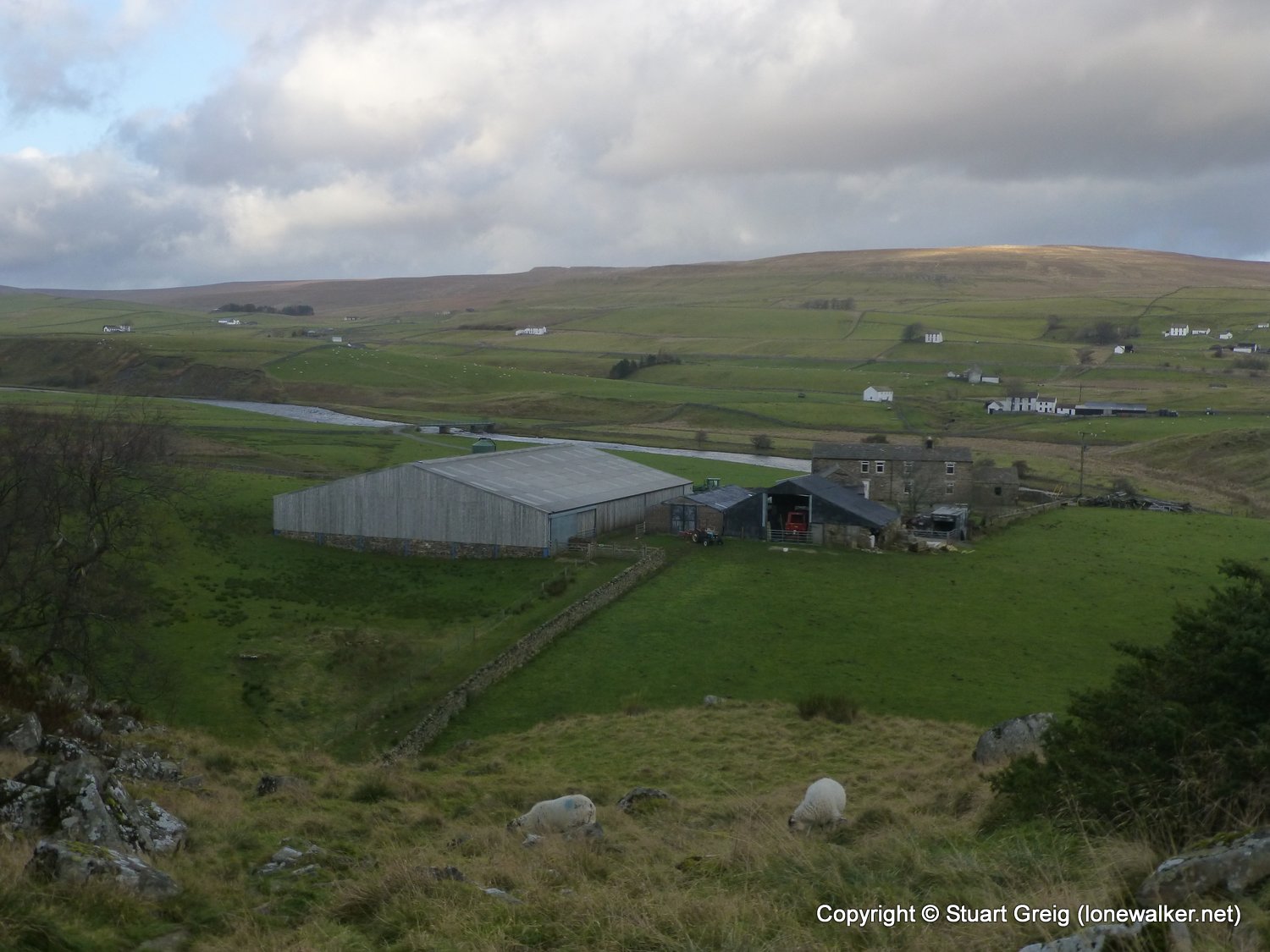
Route Description: Baldersdale, Grassholme Reservoir, Lunedale, Harter Fell, Middleton, River Tees, Low Force, High Force, Bracken Rigg, Cronkley Farm, Langdon Beck
Parking Grid Ref:
View Parking space in: OS Map or Google Street View
Walking with: Alone
Long Distance Path: Pennine Way
Link to full Walk Report: https://lonewalker.net/baldersdale-to-langdon-beck/
Download GPX file for this walk:
If your browser opens the file directly, right click and "Save As.."
Click any image to open the full screen photo gallery
Walk Name: Tan Hill to Baldersdale
Date: 2013-11-11
Distance: 10.7 mls, 17.22 km
Height Gain: 800 ft, 243.8 m
Walk Name: Langdon Beck to Appleby
Date: 2013-11-13
Distance: 15.6 mls, 25.11 km
Height Gain: 1600 ft, 487.7 m